21 September 2025: Sunday - Shilhope Law G/SB-006 and Long Crag G/SB-008
Having arrived late the previous evening we slept in, but emerged to find a much better day: the rain had cleared and the sky was blue with just some fluffy clouds. Despite our late start we still hoped to get two summits done, though the ground was likely to be very wet given the previous day’s rain. First up was Shilhope Law G/SB-006, which Martyn had activated before Caroline was licenced (in the days before it was access land and permission was needed to access the summit).
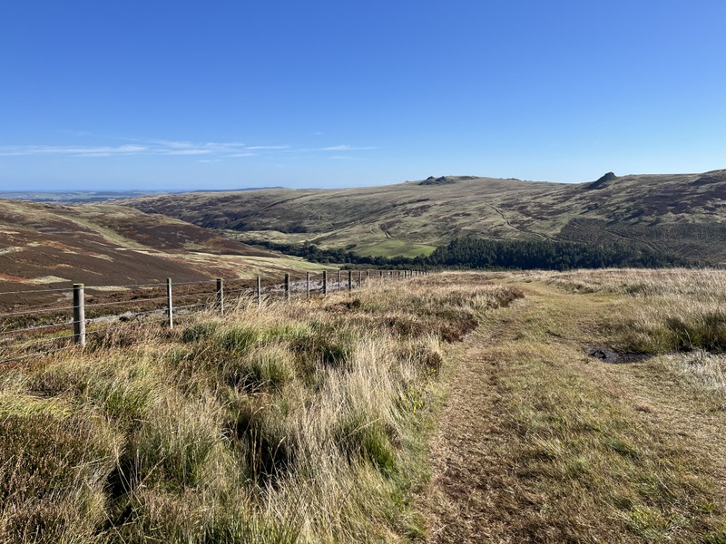
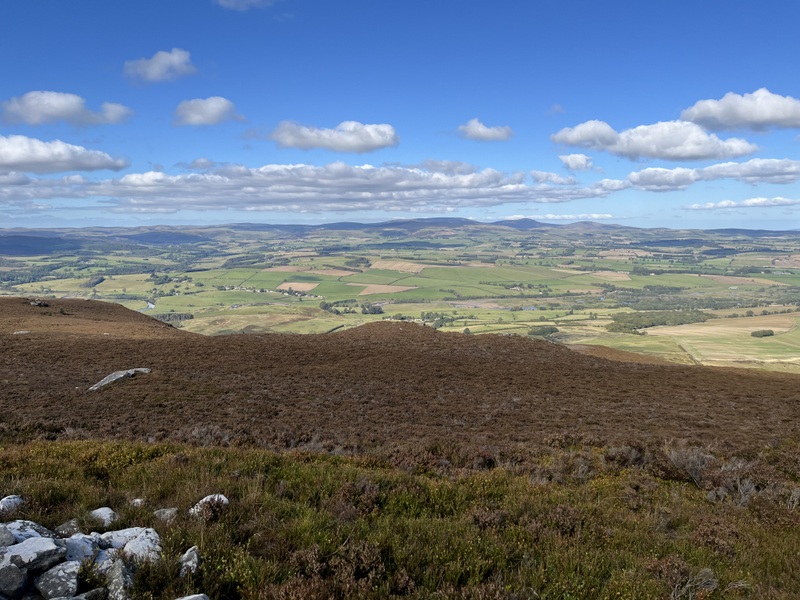
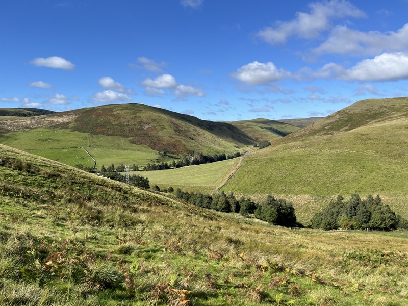
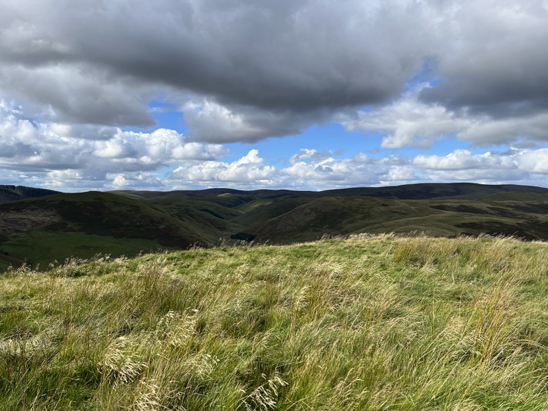
Beyond Alwinton the single track road winds its way up and down along scenic Upper Coquetdale: a lovely area we used to visit a lot before we got into SOTA and have tended to neglect since due to the relatively low density of summits. Part of the way along there were unexpectedly fields with lots of parked cars and camping, with a few cars parked in passing places. Past that we continued much quieter to the Wedder Leap car park. It was a lovely bright sunny day and cameras were soon in action.
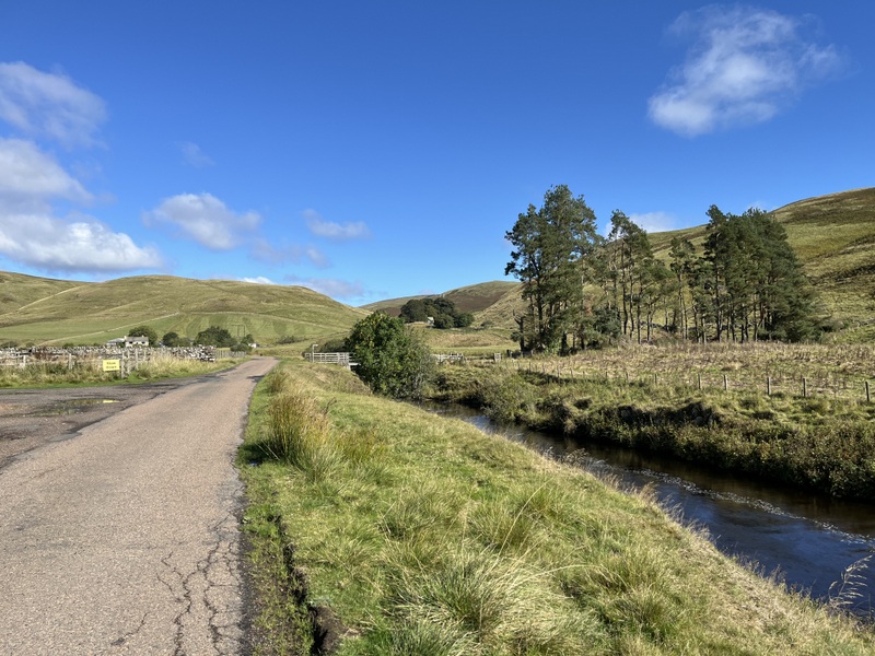
Upper Coquetdale
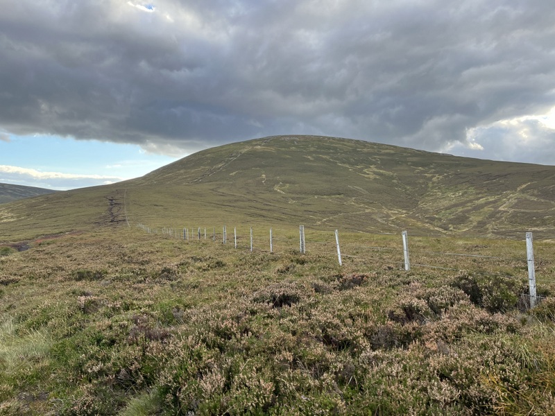
Upper Coquetdale looking towards Shilhope Law
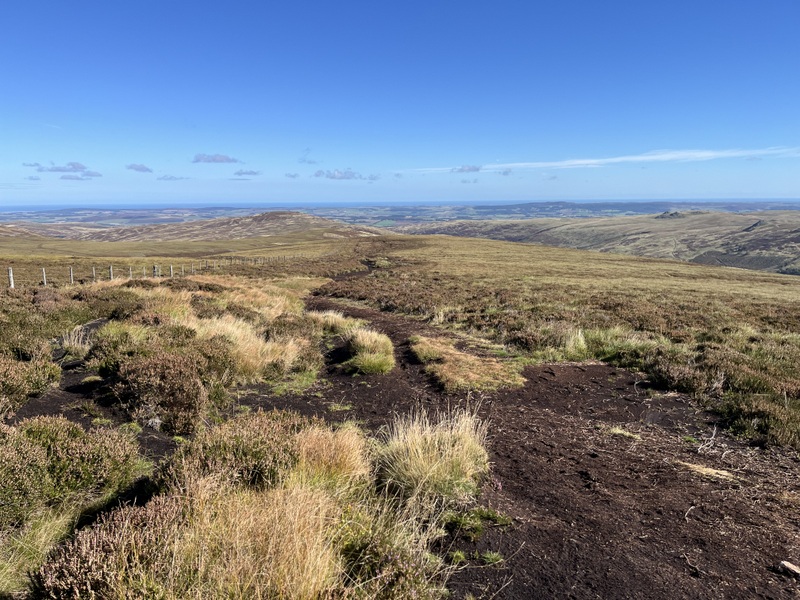
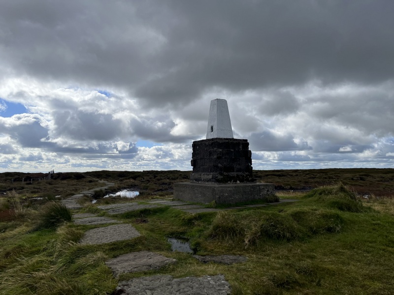
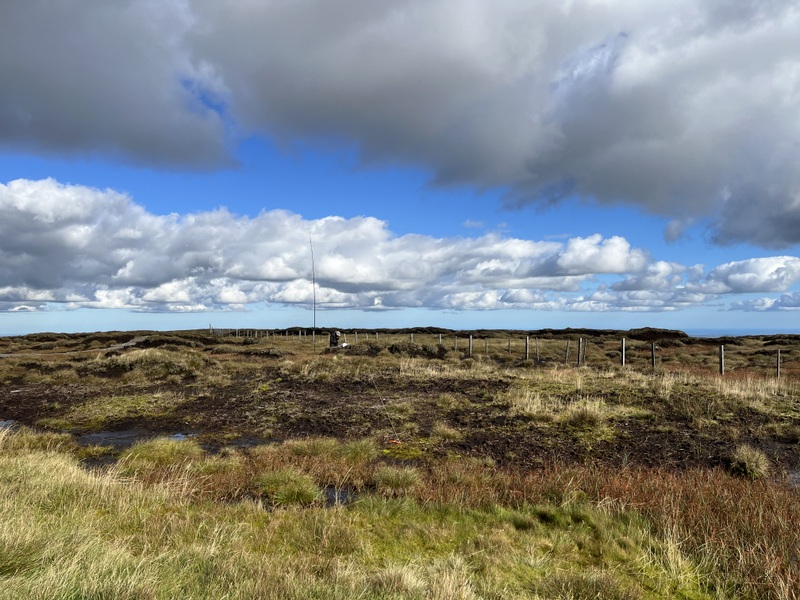
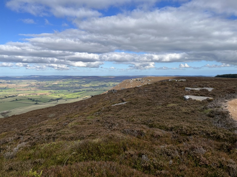
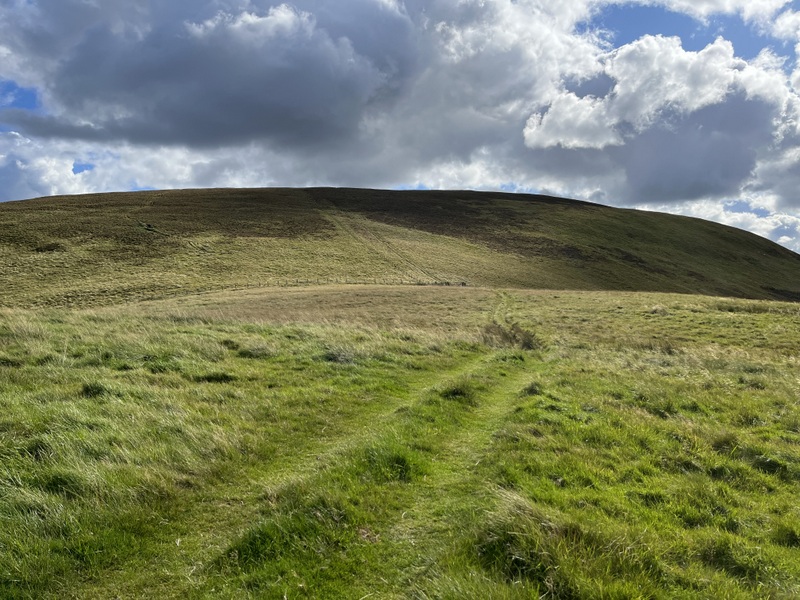
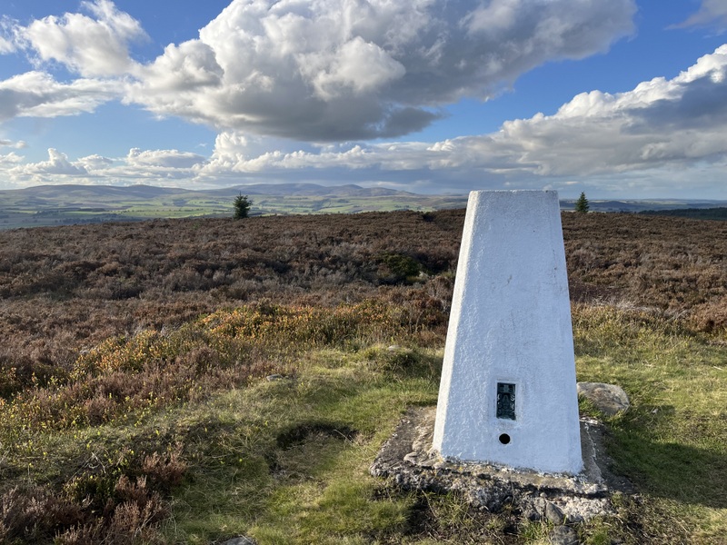
Our late start meant we weren’t walking until 11:45 – over the footbridge for what turned out to be the muddiest part of the walk up to a gate on the other side of the valley. The footpath running along the side of the valley had a variety of fungi before joining a bridleway above Barrowburn. We left the bridleway to ascend on a grassy track which curved back south to ascend to summit – with several stops to take in the views. We reached the white painted trig at 12:35. It is surrounded by a low shelter which didn’t offer much wind protection.
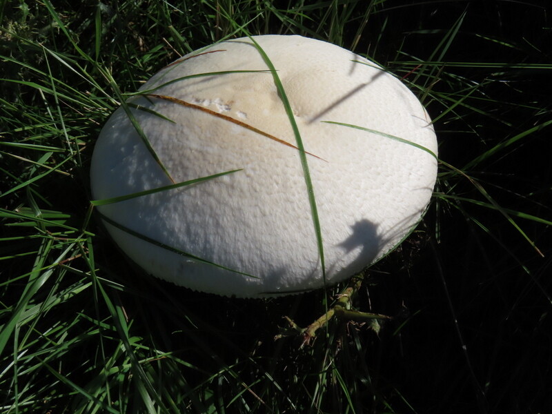
Fungus on ascent Shilhope Law
Ascending Shilhope Law
Ascending Shilhope Law
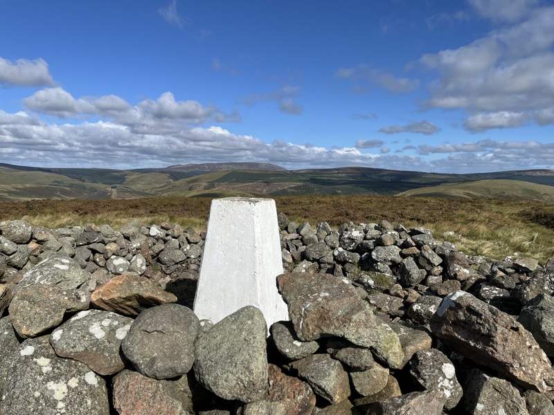
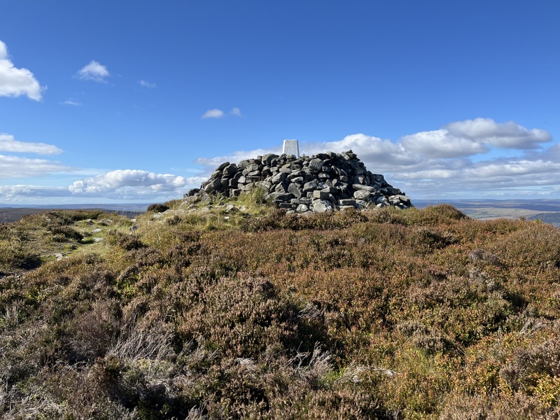
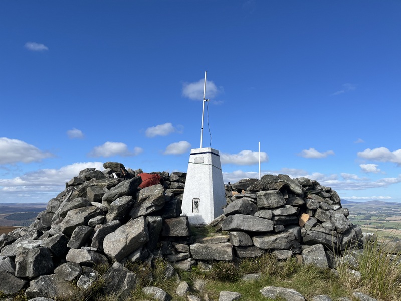
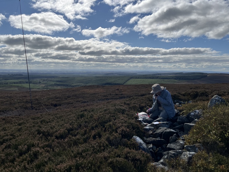
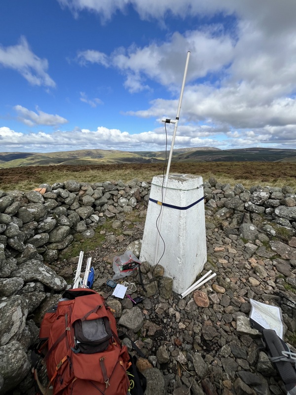
Shilhope Law G/SB-006 trig
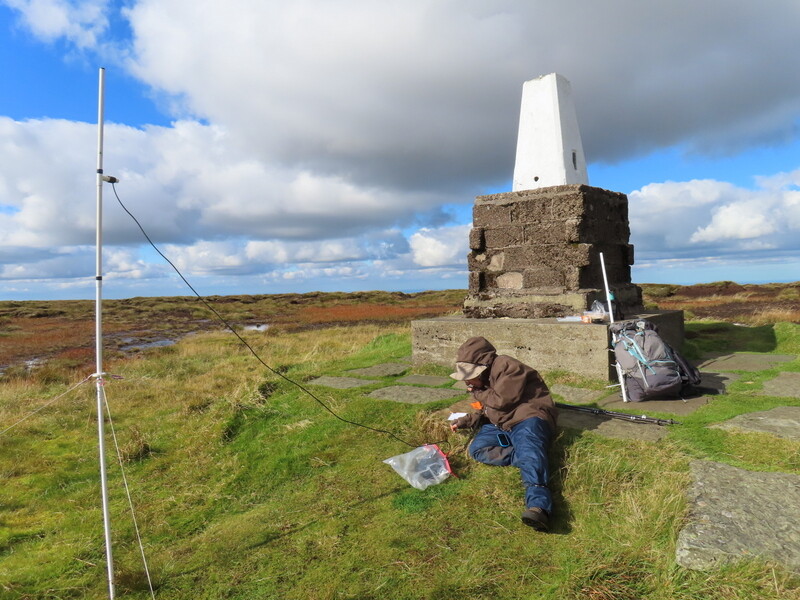
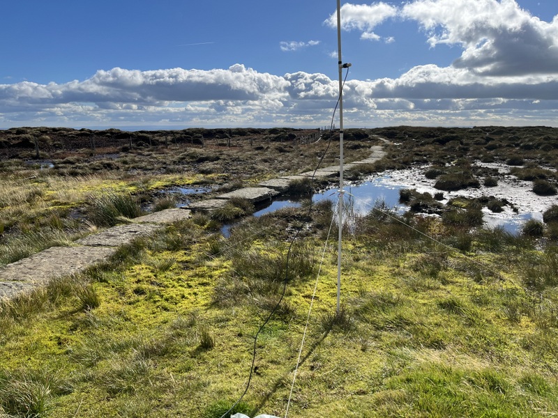
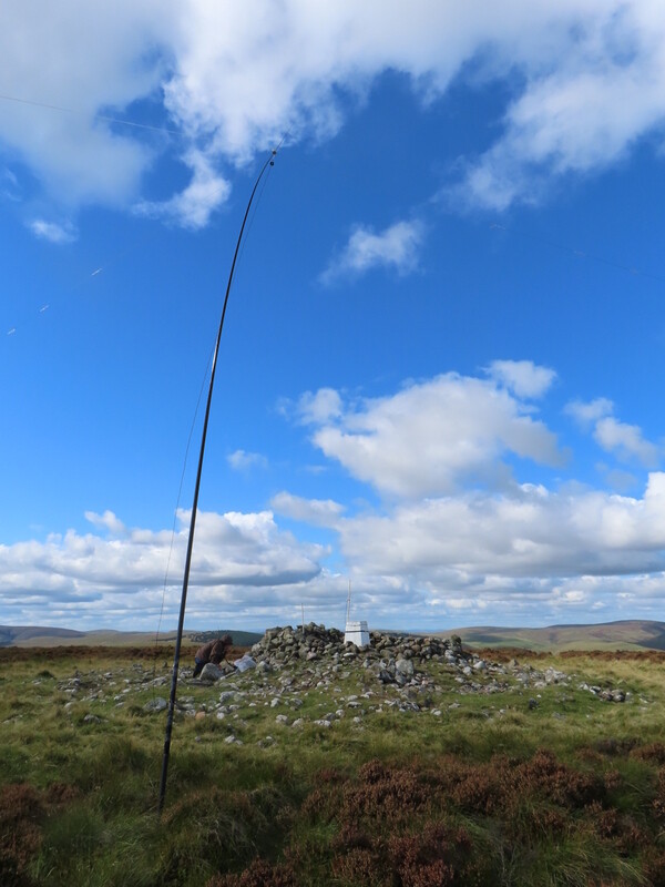
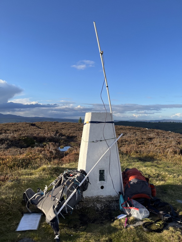
Since it seemed a quiet area, Caroline set up inside the shelter, lashing the VHF antenna to the trig point, while Martyn was on the outside of the shelter with the HF antenna in the low grassy heather. Caroline struggled on VHF – there are larger hills in several directions – getting just two 2m contacts with relatively poor reports. Martyn did better on 60m so after he had qualified with 5 contacts, he handed HF over to Caroline for a run of 13 on 40m, including an S2S with M0LZN on G/NP-028 which Martyn also managed – though he had been having a rag chew on 2m FM with one of Caroline’s earlier contacts. We decided that with lunch eaten we needed to descend if we were going to have time do another hill, but then noticed a 20m spot for OY/WN2G on OY/OY-100, and we could hear him even with the links set to 40m, so a quick change of links and we both had an S2S with the Faroes.
Shilhope Law G/SB-006 VHF
Shilhope Law G/SB-006 HF
Despite trying to keep a good pace it took nearly 45 minutes to descend, partly because we couldn’t resist more photo stops. It had partly clouded over and the forecast included scattered showers, but we stayed dry.
Descending Shilhope Law G/SB-006
Looking back at summit when descending Shilhope Law G/SB-006
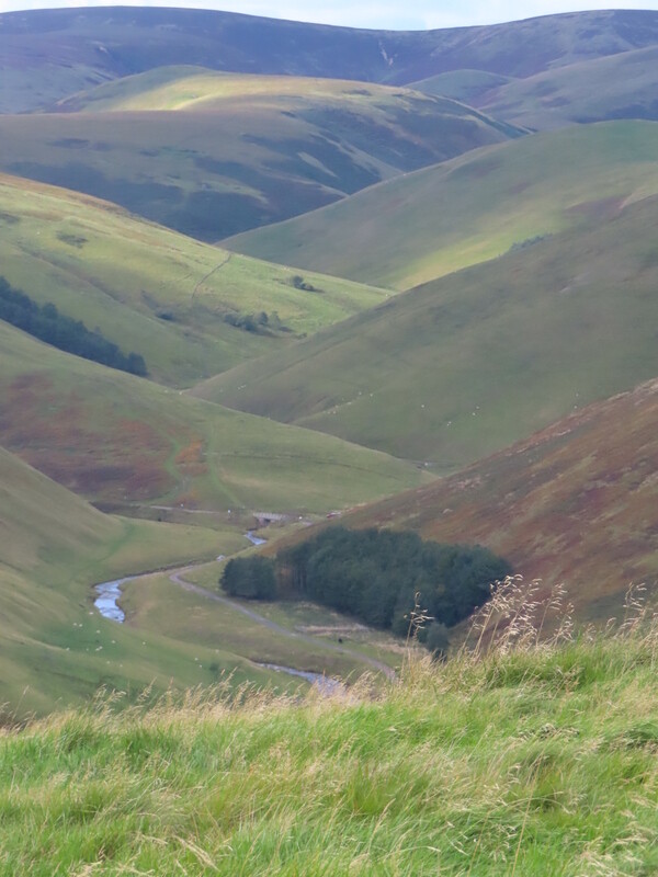
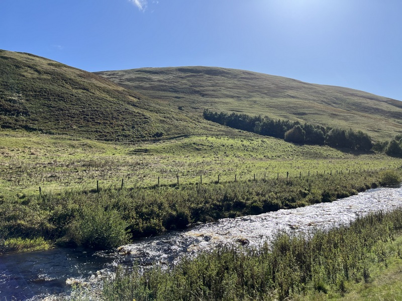
Upper Coquetdale when descending Shilhope Law G/SB-006
It was 15:23 before we were leaving the car park. The original hope had been to do Tosson Hill G/SB-007, but we didn’t have enough time for that, so instead went for Long Crag G/SB-008, which was a shorter walk, and looked like the final return section was a track that could be done with head torches. The drive between the two was frustrating. The activities in the fields in Coquetdale now included lots of mountain bikers coming up the valley as well as some vehicles leaving the fields, so there were lots of stops in passing places to allow bikes to pass. Through Alwinton onto slightly wider roads we caught up with a “Chelsea tractor” that appeared not to be used to driving on rural roads, generally driving slowly and taking all corners very carefully! It was a relief when it pulled in in one of the villages, and we were finally parking in the rough layby at NU091072 45 minutes after leaving Wedder Leap.
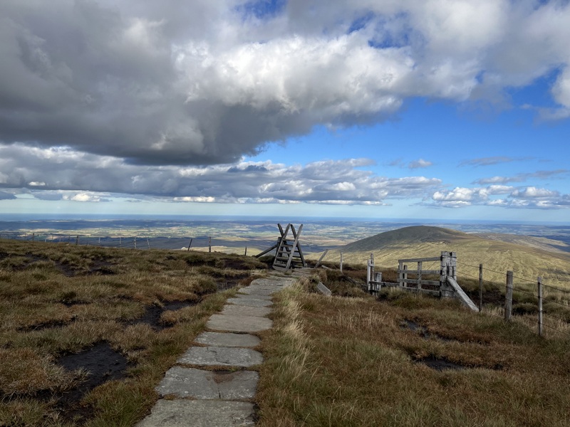
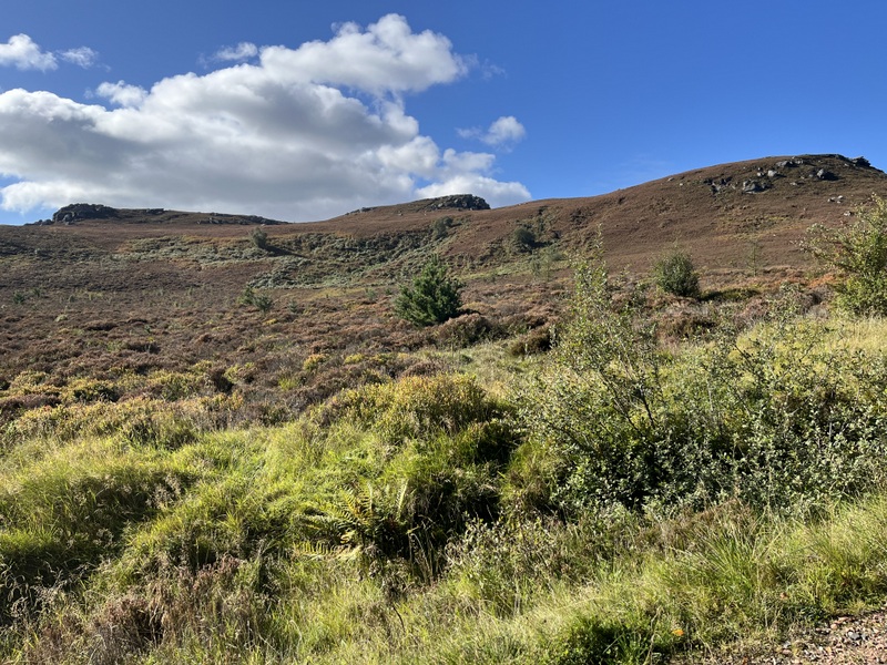
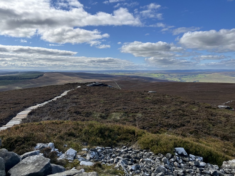
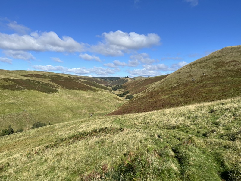
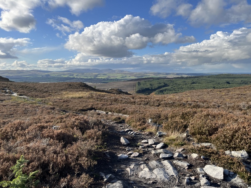
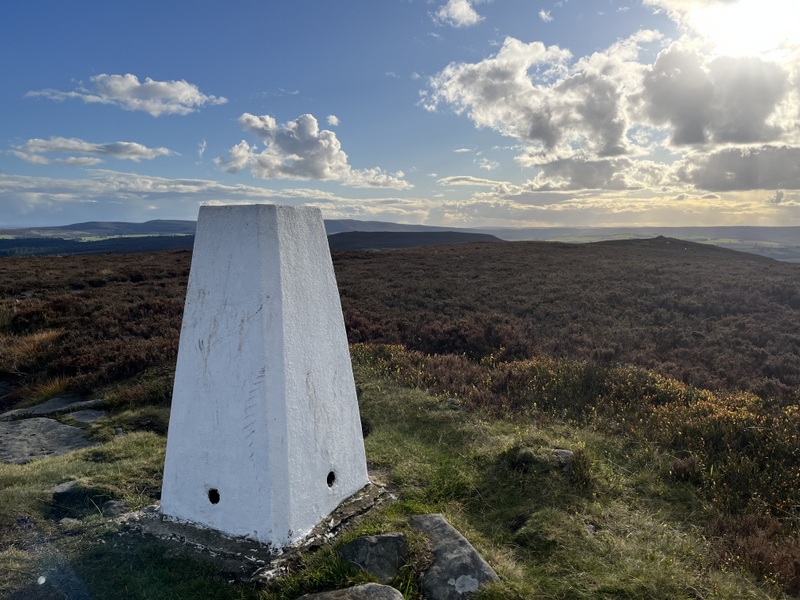
We had been up Long Crag pre-SOTA, on that occasion doing a longer walk from the Thrunton Wood parking further north, but now needed to minimise distance. We weren’t sure we would have time for an activation, but wanted a walk anyway. We took the forest track opposite the parking, passing quite a few felled areas and under transmission lines before entering a narrower more wooded area, eventually bending round to run near the edge of the forest before emerging onto the open heathland with good views either side. The activation area extends almost to the edge of the forest, but we continued on the gently rising path, over one sub summit with a spot height the same as the trig point and along to the white pointed trig point in a little grassy area.
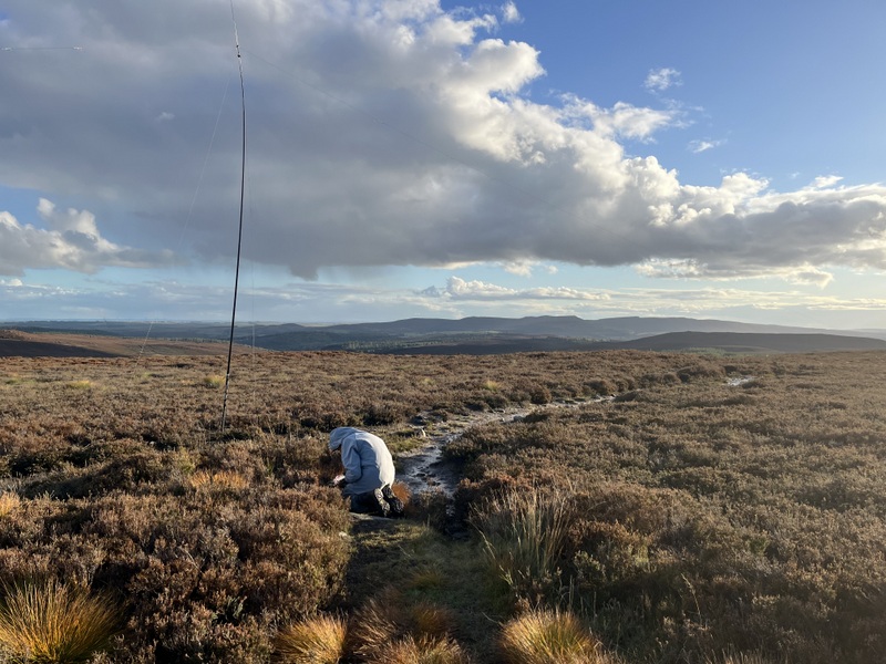
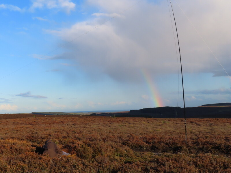
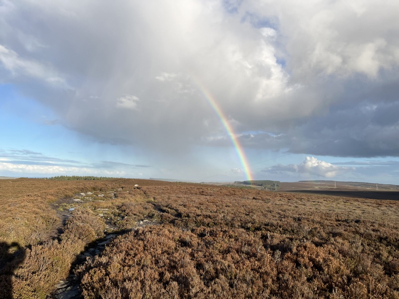
The ascent had taken 50 minutes and it was gone 5pm: would there be any chasers about? There was no shelter, so Caroline again used the trig point to support the antenna, while Martyn set up HF in the heather nearby. 60m wasn’t in good shape and after Martyn had managed only one contact he asked Caroline how she was getting on – she had two on 2m: David G0EVV and Derek G1ZJQ. Martyn worked David on 2m, and then Derek on 70cms after Caroline had moved there. That was it for VHF and 60m despite further attempts, so we moved to 40m, both working the first two contacts and then Caroline running for 8 contacts. Martyn had needed to use 4 different bands to qualify the hill! While we had been operating, we had seen partial rainbows, but had remained dry throughout.
Long Crag G/SB-008 VHF
Long Crag G/SB-008 HF
Long Crag G/SB-008 HF plus rainbow
Long Crag G/SB-008 rainbow
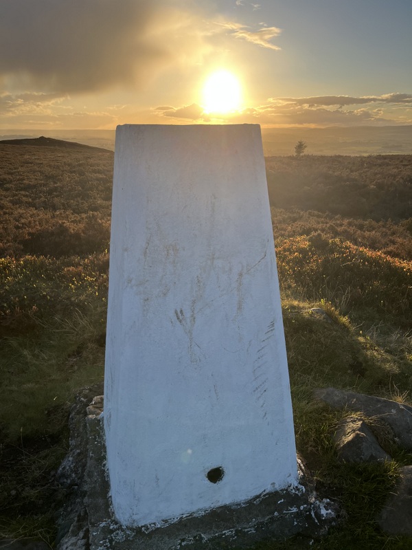
Long Crag G/SB-008 low sun - time to descend
There was some lovely afternoon light as we packed up and descended, getting good views before entering the forest. Somehow the descent took slightly longer than the ascent, but we had enough light to get back to the car without needing head torches. The car was wet, so the rain hadn’t missed us by much.