“Good things take time”, as the saying goes. That applies here, too: Today I’m telling you about a week-long vacation in Southern Burgundy. That was during the last “normal” week, in mid-June 2026, before it got really hot for an extended period. Now, three months later, the weather is more pleasant again. It’s even raining. That should make writing this post a little easier!
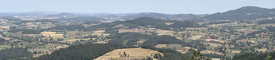
Southern Burgundy – hills, vineyards, herds of cattle, romanesque churches, summits!
Bernd DL2DXA had asked me to write an article for their German mountain radio magazine “Sächsischer Berg-Kurier” – see their repository here (in German, http based):
www.dl2lto.de/SBW/sc/SBK_inhaltsverzeichnis.htm
In Saxony, they cover a long tradition of VHF mountain radio. The article has been published recently, and it’s now appearing here in the SOTA Reflector in English for our international friends. Yes, it’s a bit far from their traditional territory, Saxony. But looking beyond one’s own backyard or plate is appreciated even there. And the metaphor of the plate is still a good one: there’s something tasty on it. It might inspire others to experience it for themselves.
As is well known, what constitutes a “good thing” is in the eye – and the heart – of the beholder. But for us, Southern Burgundy fits right into that category. Actually, we’d already suspected as much beforehand. Looking back, we can confirm it.
We – that was Armin DL6GCA and me. We’d already been out and about for SOTA. SOTA, and as a bonus, POTA areas where available on the summits. This time we had our better halves with us, who were looking forward to a nice week of vacation: a different pace than in everyday life, a breath of fresh air, a chance to clear the heads. So, no expedition with the hedge trimmer! That called for some compromises. We met up at the parking lot of the first summit on the way there. That worked out pretty well. For the day trips, we mostly used one vehicle.
“People usually just look at the pictures”, Bernd had warned me. I just smiled to myself. With me, there’s always text as well. A picture without a caption or some background info? Unthinkable! Just pictures of blue skies and sunshine? That just stirs up envy. Our mountain radio hobby – even outside of Saxony – always involves a bit of work. That’s what this is also about. And about the other benefits that traveling brings, beyond just mountain radio.
Where did the trip take us?
To Southern Burgundy. That really brings in good memories. In my mind’s eye, I see a glass of wine – white, rosé, red. That’s right – you see vineyards everywhere. Southern Burgundy lies next to the Saône Valley, west of the Tournus–Mâcon line. A varied, undulating hilly landscape, with most peaks at 500 to 600 meters above sea level, offering beautiful views from the higher peaks. Rural, yet quite lively and well-connected via the valleys between the hills. The GPS guided us well from peak to peak. The most famous town in our area is probably Cluny.
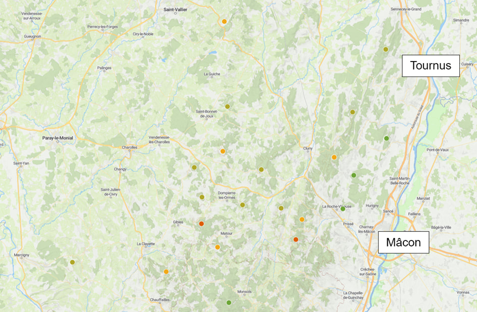
On the road in Southern Burgundy: the travel region west of the Tournus–Mâcon line.
What the naked eye also sees are herds of cattle. Mostly light beige, like lattes. These are the Charolais cattle, which are just as well-known there. A beef breed used for all sorts of dishes. With the wine already mentioned, a little time and the chef’s dedication, you can create excellent braised dishes, for example. And those who can take a break from the hills after a day’s work will discover new treasures time and again, even at the supermarket.
The four of us on the road
Our base was a beautiful and spacious vacation rental in a former farmhouse above Berzé-le-Châtel. Two bedrooms and two bathrooms gave us some privacy in a modern setting. In the kitchen, we could sit together in the evenings, prepare and enjoy dinner, and reflect on the day’s events. The views of the sunset remain unforgettable! Add to that a stately castle with many round towers near the village. Here, you lose track of time and space.
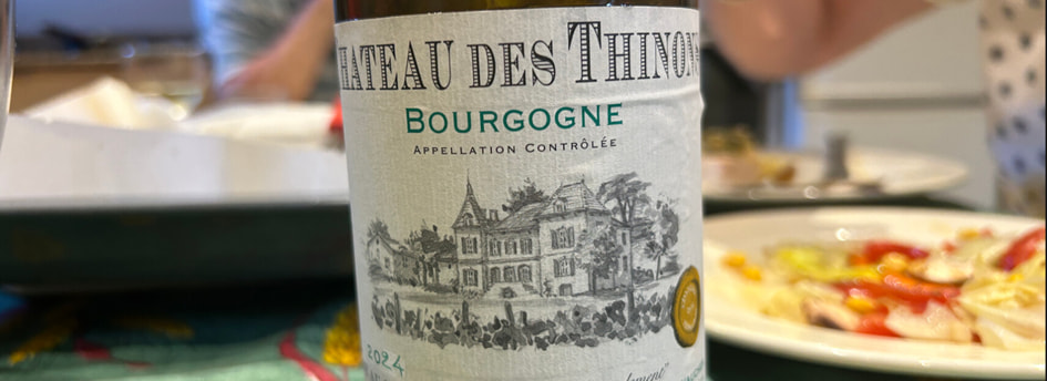
Burgundy offers something for all the senses! A welcome gift from the landlords from their close vineyard to get us in the right mood for a week of Southern Burgundy.
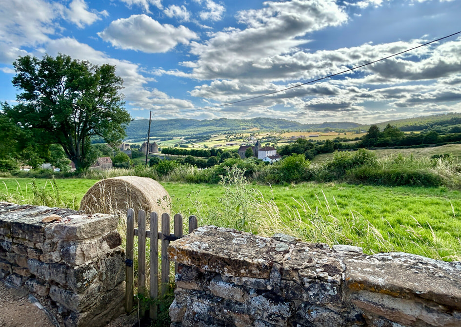
View from the vacation rental above Berzé-le-Châtel toward the southern part of the travel region.
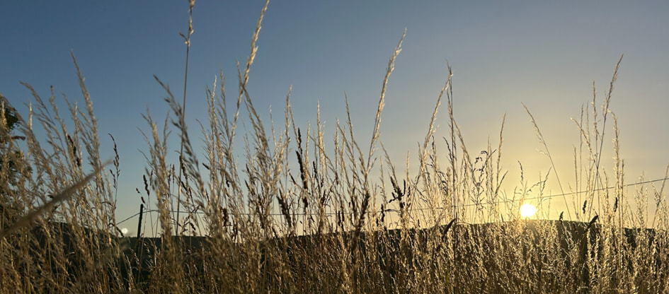
. . . and beautiful sunsets, again and again!
A vacation requires more than just mountains for ham radio, lest it degenerate into a job-related activity after all. I’ve already mentioned food and beverage. Another important aspect is the region’s rich cultural heritage. The abbey in the neighboring town of Cluny had a far-reaching and formative influence and radiation even 1,000 years ago – and that was without today’s technology or my KX2. Today, numerous buildings with their rounded arches stand as silent witnesses to an eventful era. They also enrich a mountain ham radio trip. It would be a shame to overlook them. We even split up for a day: Armin and I activated a few simpler hills, while our companions strolled through Cluny.
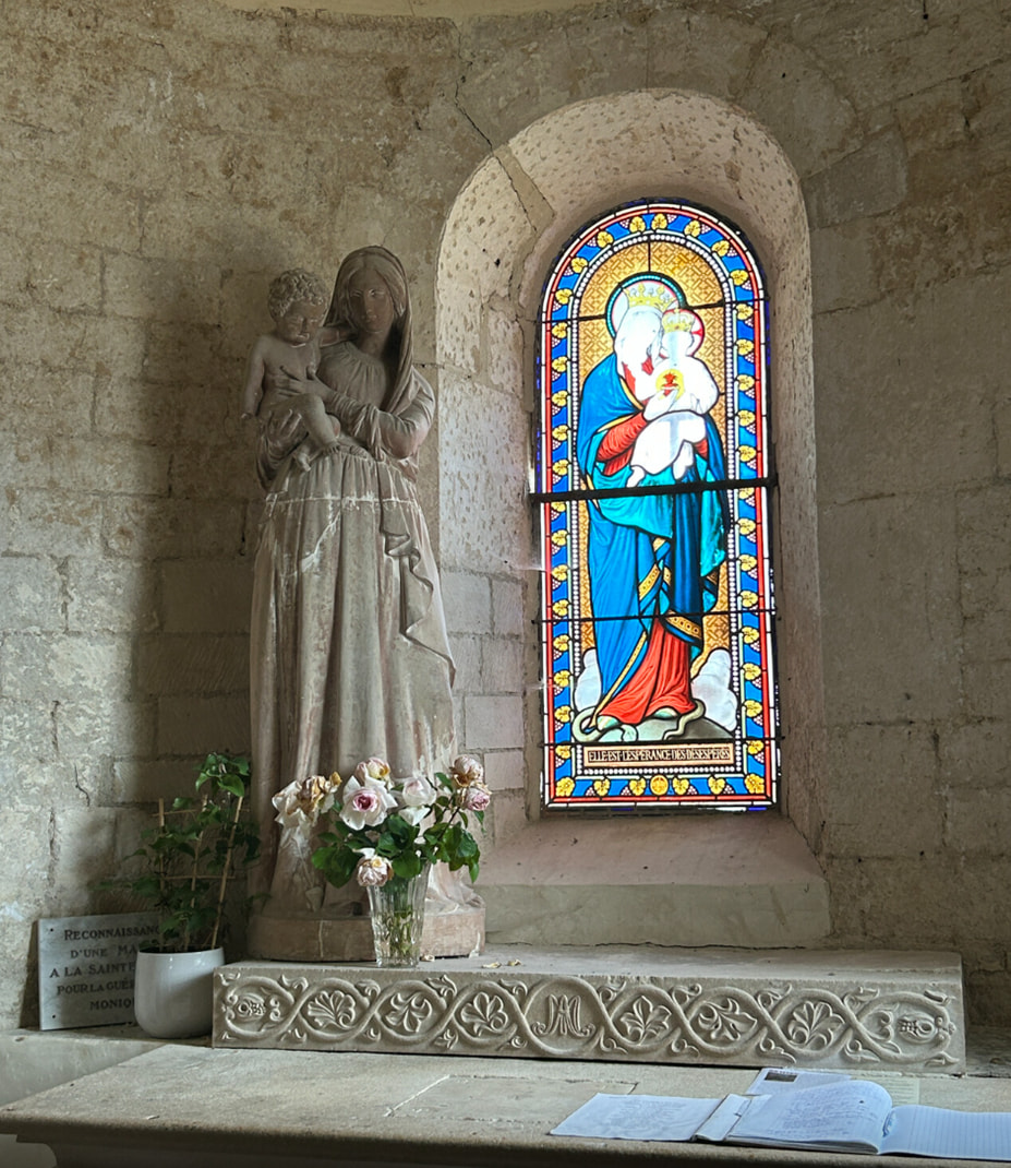
From the cultural program on the way there: Inside the romanesque church in Chapaize.
In addition, the flora and fauna, as well as the panoramic views, are always interesting companions on our daily mountain radio trips. There’s always something to delight the eyes, ears, and spirit! Apps help with identification: Peakfinder names the visible mountains, Flora Incognita identifies the flowers along the trail, and Merlin recognizes bird calls. While there are hardly any panoramic mountains here – since many summits are in the forest and not particularly high – the few sweeping views at the edges of the vacation area still evoke a sense of well-being. These are the moments of longing that linger in your memory and the yearbook of your heart for a long time!
SOTA in Southern Burgundy
The travel area is located in the SOTA region “Val de Loire” (FL/VL). It is bordered by the Canal du Centre to the west, the Saône to the east, and the cities of Tournus and Mâcon running north to south. To the south lies the Massif Central (F/MC); to the north, the area around Dijon and the tranquil Morvan; to the east, the French Jura (F/JU); and to the west, the Loire Valley with Nevers. The N79 highway divides the area into northern and southern sections and provides quick connections. The highest summits are located south of the N79. The area around Cluny is well-suited for a headquarter.
The SOTA program lists about 20 summits here, ranging from 2 to 8 points. That’s quite a few, since FL benefits from the exception rule for 100 m of prominence. Our area resembles a flat, rectangular plate with hills in the center and scenic peaks along the edges. From there, you can quickly spot a few summits in the distance that you’ve already visited. Striking summit formations are rare. You’re out in the countryside, so you’ll need a vehicle. Parking worked out fine everywhere, though sometimes it was a bit improvised. Hiking times were usually 15-20 minutes. Various drive-ups (“hiking time: 5 minutes”) gave us more time for radio communication or an earlier return home.
The summits are often in the woods and unremarkable. We frequently limited ourselves to finding the activation zone. The forest trails are often somewhat overgrown. Caution and vigilance regarding ticks are therefore advised. I brought my green folding stool with the X-shaped legs again. Like the 6-meter mast with the fishing rod holder, it proved very practical. My back and knees were happy.
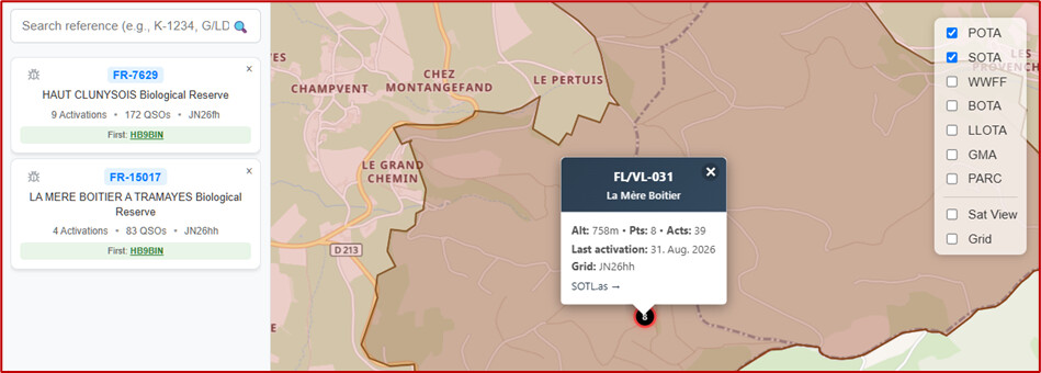
Check out POTA on pota-map.fr: two POTA areas at the SOTA summit FL/VL-031.
There are often POTA areas at the summits as well. With the help of pota-map.fr, we were able to find our way around easily. I had already set up all operations in advance in Polo for the activations, so I was able to get started right away at the summits. Armin handled CW, and I was in charge of SSB. Our priority was the 40-meter band. We didn’t operate on 2 m – it wasn’t promising in that area. On shortwave, too, we only reached a few local OMs, but our usual regulars chasers remained loyal to us even in Southern Burgundy.
Propagation conditions in June were variable; on 40 m, it was sometimes only good over long distances. Georg, DL9NCI, was probably our most frequent contact. Jan, SQ9CWO, also contacted me often. On the other hand, Ha-We, HB9GUX, would have liked to reach us for a SOTA complete. It just didn’t work out that day.
We’re happy to recommend our travel itinerary for others to follow. On SOTLAS, we found numerous tips, which we supplemented with photos and tracks after the trip. So, for this report, we’ve included a few atmospheric photos and travel tips as additional teasers. By the way, since September 2026, SOTLAS has also been displaying the activation zones for France in light green. These are generally more accurate than the rounded elevation curves shown in the open-source data models.
Day 1 – Arrival
We had arranged to meet Armin at the parking lot of the first summit. We reached our destination after a few hours on the French A36 without any major delays.
- Bois de Mancey, FL/VL-062, 500 m, 4 points: Start at Col de Navois, parking lot for a Resistance memorial. A pleasant, shaded trail across the ridge. Hike to the summit through the forest: approximately 700 m distance, 50 hm elevation gain, 15 minutes hiking time. Twenty minutes further on are a lookout point and the Roche d’Aujoux rock formation, both also in the SOTA activation zone.
- Mont St-Romain, FL/VL-044, 575 m, 4 points: Drive-up; the last few meters are a bit rough. Unfortunately, the restaurant at the summit had to close. Unique location with a great view from the east across the region. The viewpoint is located on the roof of the restaurant and is accessible via a ladder – funny! Hiking time: 5 minutes.
Between these two starter summits lie the romanesque churches of Chapaize and Brancion, easily accessible with their own parking lots, only minor detours. Well-known art-historical highlights – be sure to plan a visit! The tranquility and harmony of these sites and their beautiful rural surroundings offer moving experiences even for those who aren’t particularly interested in art.
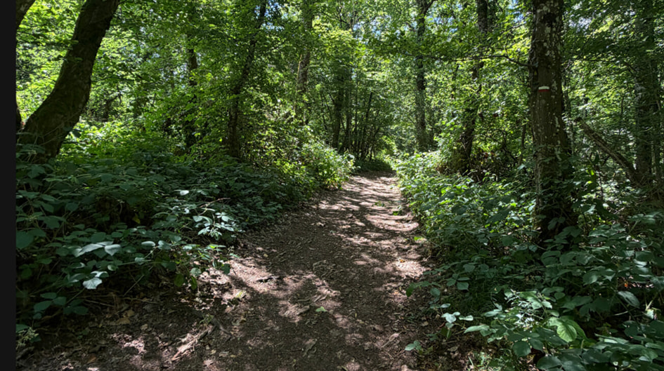
FL/VL-062, Bois de Mancey: The name says it all – the first of several summits in a forest.
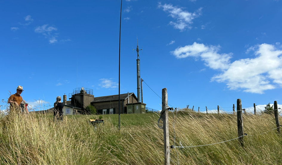
FL/VL-044, Mont St-Romain: Radio operating with a view to the travel region – from the car park and from the roof of the restaurant building.
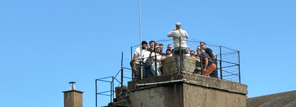
An unexpected visit at the lookout point: A training session on “What is mountain radio?” and a photo at the summit.
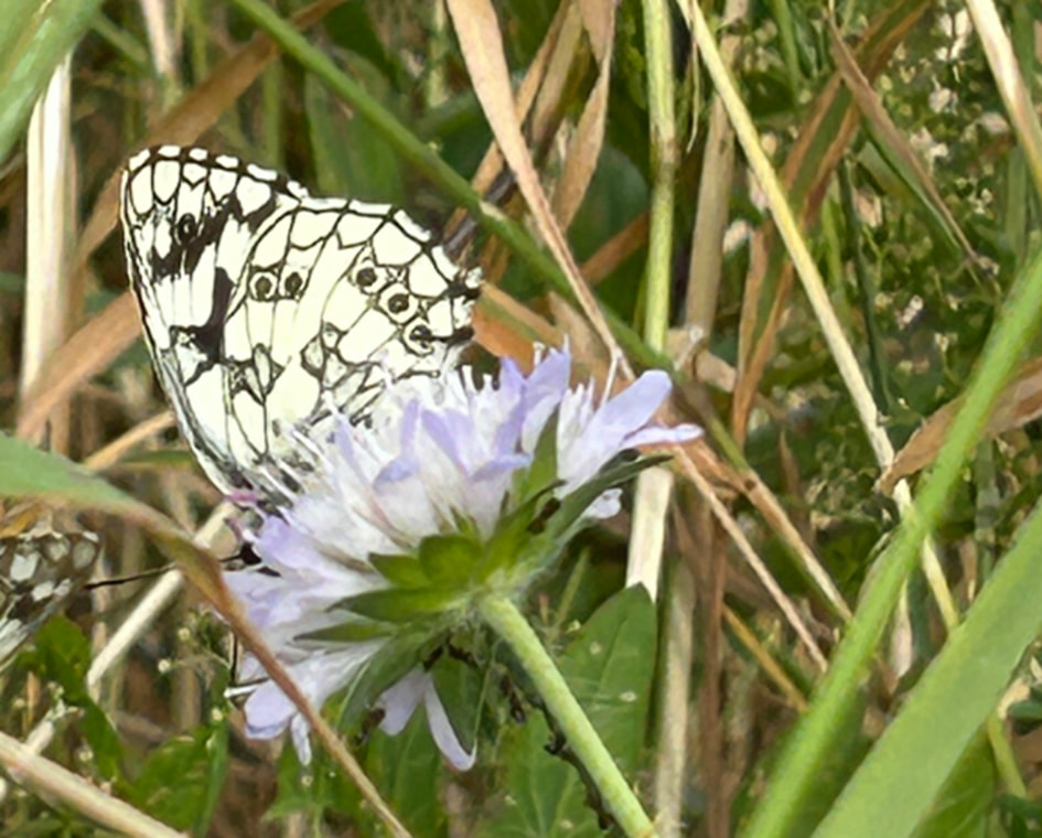
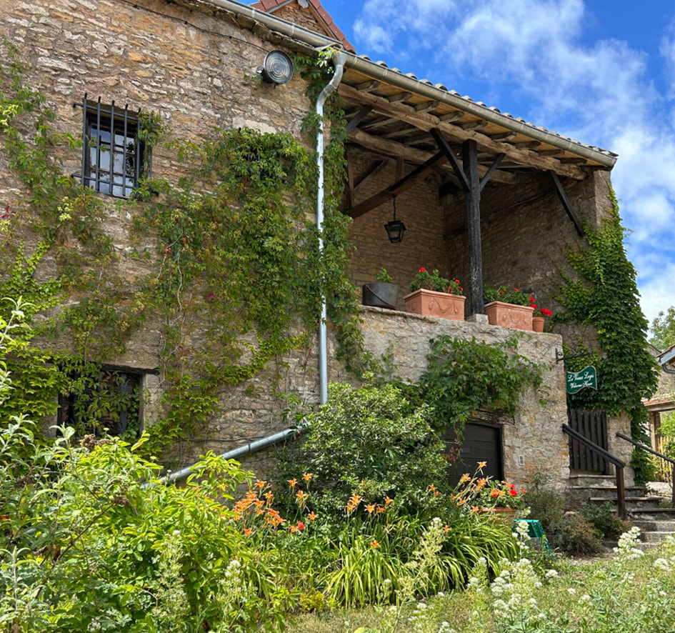
There’s plenty to see for non-radio enthusiasts, too: Flora and fauna along the trail, an old house next to the church in Chapaize.
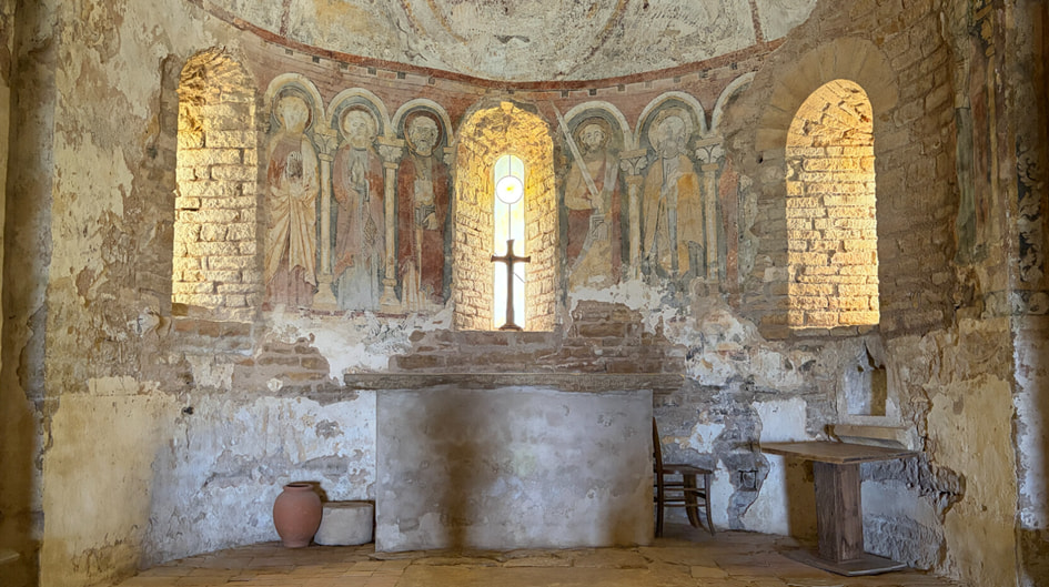
From the cultural program of the first day: Frescoes in the church in Brancion.
Day 2 – In the northwest
To ease into things, we’d put together a day’s itinerary with short hiking times. This allowed us to tackle four summits, which remained manageable and interesting even for our companions.
- Mont Saint-Vincent, FL/VL-011, 603 m, 6 points: This is the summit with the famous cone-shaped lookout tower. The entire little village lies within the activation zone, so we set up right by the parking lot and enjoyed the view toward the northwest of our area from the terrace nearby. You can spot this summit even from a distance thanks its comms tower. Hiking time: 5 minutes.
- Sainte Colombe, FL/VL-061, 501 m, 4 points: The next summit is the complete opposite. Secluded, yet accessible. A peaceful corner in the woods, with a few quiet farms at the very top. Without SOTA, you’d never go there. We parked at the edge of the western access road and set up next to the road. Luckily, the big tractor didn’t run into my antenna, heh. Hiking time: 5 minutes.
- Butte de Suin, FL/VL-039, 600 m, 6 points: Here again, a tourist hotspot with an old settlement and a pilgrimage church at the summit – a must-visit. Beautiful view of what lies ahead for the next few days; radio conditions were good, too. I had often worked Chris, HB9CYV, from this summit before. Now I’m finally here in person. It’s pretty here! Hiking time: 5 minutes.
- Bois de Châtelaine, FL/VL-013, 585 m, 4 points: In contrast, the forest here is completely peaceful. The hike starts at a small niche next to the main road, right at the entrance to the forest trail. Beautiful summit area in the forest – somewhat overgrown at first, then a sunken path. Thanks to Andy for the parking hint! Hike to the summit: approximately 1 km distance, 80 hm elevation gain, 20-minute hike. The village next to the summit is called Bergesserin – a play on words in German. But we didn’t run into this woman, and the summit hasn’t been “eaten up” yet either; it’s still there for the ham radio enthusiasts, heh.
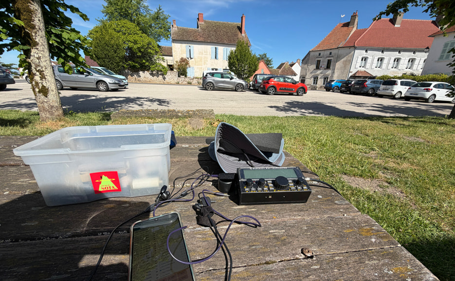
FL/VL-011: On Mont Saint-Vincent next to the parking lot.
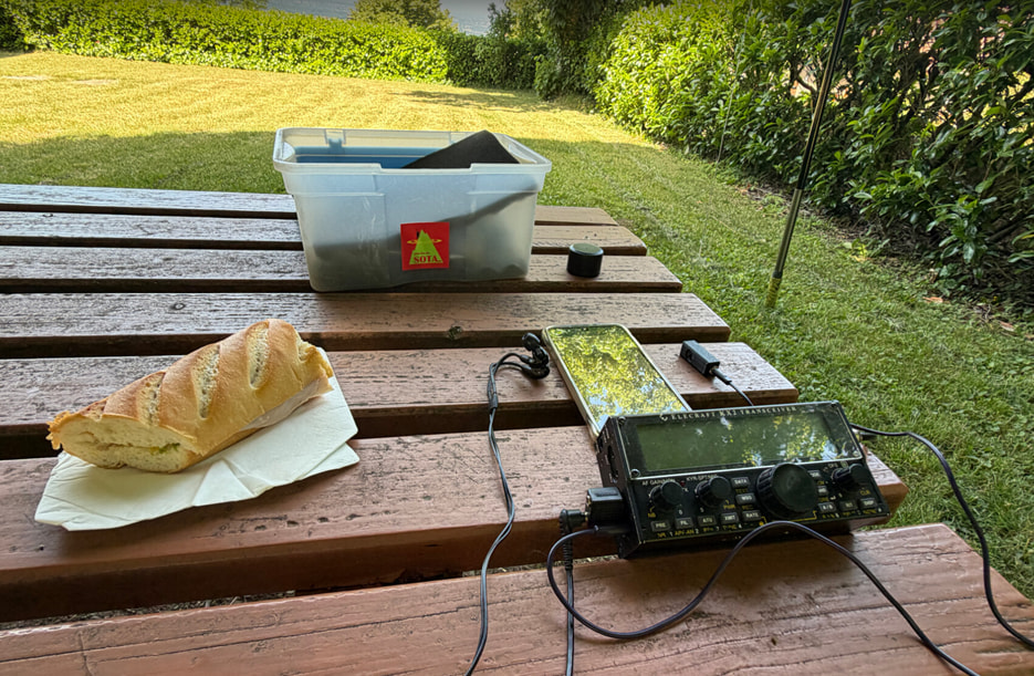
FL/VL-039: Around noon on the Butte de Suin. A baguette is always a good fit in France!
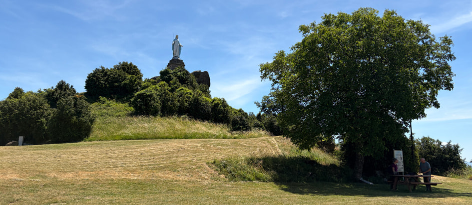
FL/VL-039: Butte de Suin is a popular destination. Accordingly, you’re rarely alone here. Armin operating the radio in the shade. But it didn’t get really hot until a few days later.
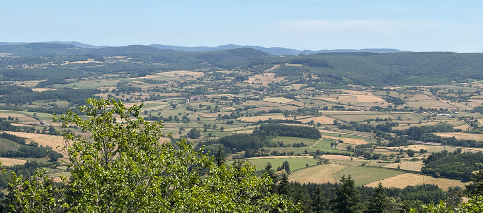
View from FL/VL-039: A panoramic sign at the summit lists the names of the peaks. Today, with the “Peakfinder” app on your smartphone, you always have this information at your fingertips.
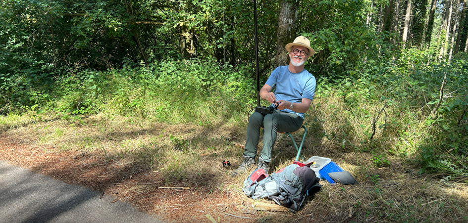
FL/VL-061: Good vibes next to the access road to the hamlet of Sainte Colombe.
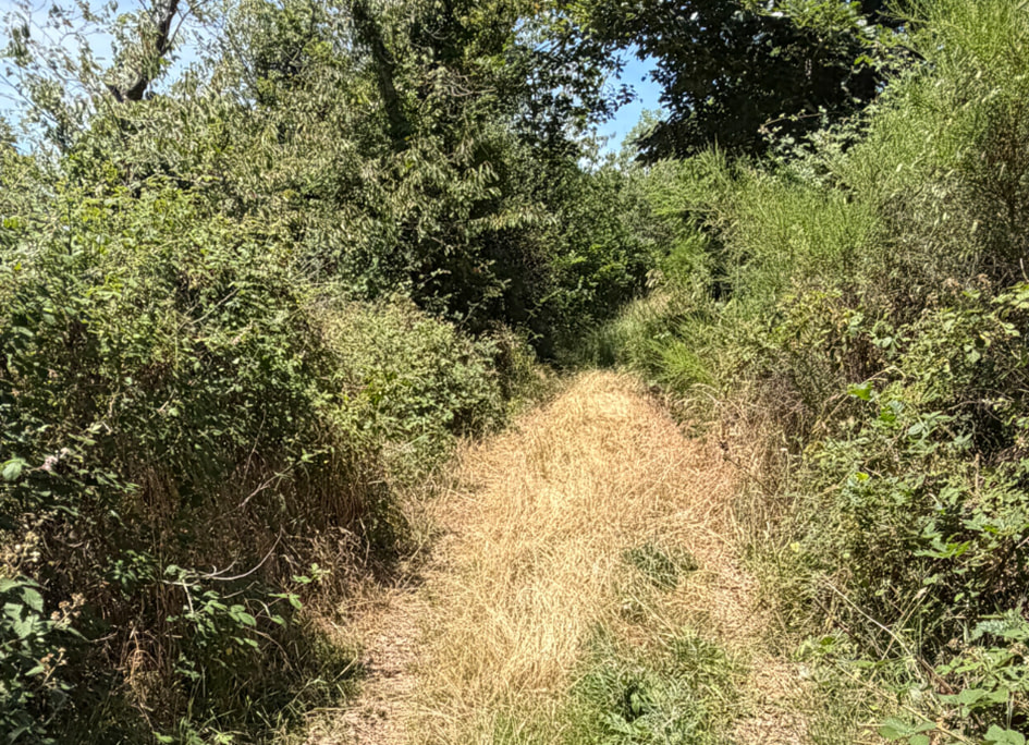
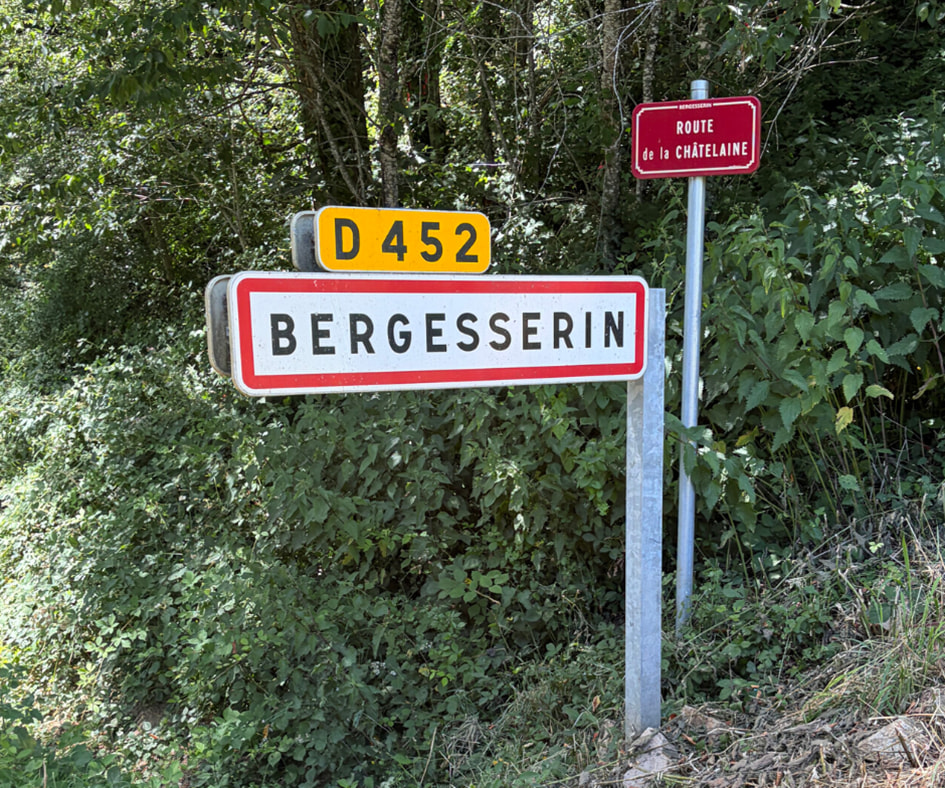
FL/VL-013: On the way to the summit in the Bois de la Châtelaine. I was always careful on overgrown trails – tick danger! And for the native German speakers: what do you think the name of this village means?
Day 3 – The Sunday schedule
In addition to visiting a small monastery church in Cluny, Sunday also featured another cultural highlight. Not far from the vacation rental, in Berzé-la-Ville, is the Chapelle des Moines, which is widely known for its well-preserved romanesque frescoes (admission: EUR 5, 2026; check opening hours).
At noon, SOTA hit the trail:
- Mère Boitier, FL/VL-031, 758 m, 8 points: The second-highest summit of our tour offers a beautiful view to the south and west. Just before the parking lot (in June), there’s a large meadow full of purple foxgloves – simply magnificent! Unfortunately, there’s no shade at the very top, so we were on our way again pretty quickly. Hike to the summit: approximately 400 m distance, 50 hm elevation gain, 15 minutes hiking time.
- Roche Claye, FL/VL-041, 596 m, 4 points: It’s worth driving here to avoid a long hike up from the valley – you can park right next to a water reservoir and activate there. Hiking time: 5 minutes.
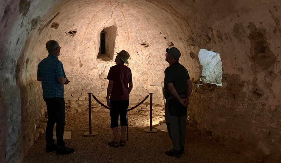
Chapelle des Moines near Berzé-la-Ville: Rushing through here is not the way to go. The details of the lower chapel are revealed only gradually.
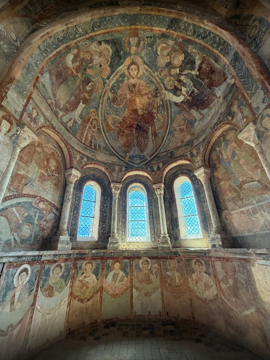
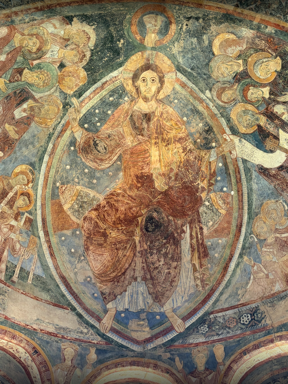
Chapelle des Moines: The upper chapel is richly decorated with well-preserved frescoes. A soothing contrast to the sometimes somewhat hectic radio traffic!
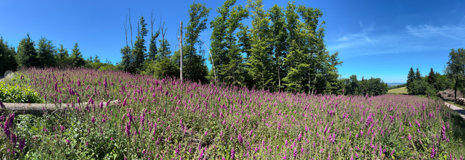
FL/VL-031, Mère Boitier: A sea of foxgloves just before the hiking parking lot.
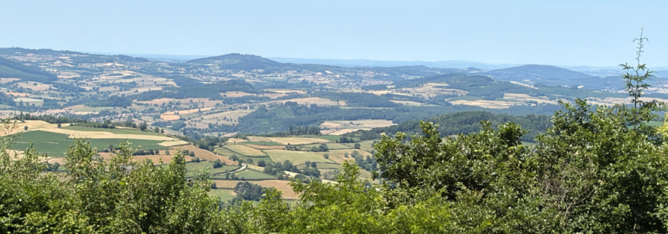
Beautiful view at FL/VL-031: Over time, we began to recognize the hills from previous days.
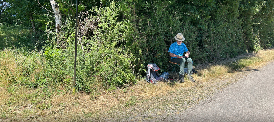
FL/VL-041, Roche Claye: There was little shade here and good radio contacts were rare. You can’t tell from the picture, but the sun was being picky to our waves. Armin was to the right of the hedge by the water reservoir.
Day 4 – Westward into the Brionnais
The next day took us to the southwest of our region. Two things can be found here as well: romanesque churches and Charolais cattle. But we also came across a doe with her fawn on the road. Such a relaxed, rural atmosphere! The drive took us along the ridges in the south to La Clayette. The beautiful moated castle is a real eye-catcher, and we even pulled over briefly to snap a few tourist photos. Our first destination was La Heurgue, the most remote summit in our area.
- Heurgue, FL/VL-055, 549 m, 4 points: This drive-up is quite spacious. There’s also a nice picnic area on the edge of the activation zone. We’d only learned about it from reports by other operators. Thanks to Chris for this hint! The view of the area could almost be addictive. But we had work to do! Hike time: 5 minutes.
- Montagne de Dun, FL/VL-004, 736 m, 6 points: The actual summit southeast of the parking lot is called Dunet. It’s in the woods and full of underbrush. However, a forest trail runs along the activation zone, so the botanical adventures can be kept to a minimum. Afterward, it’s worth crossing to the other side of the road to the Chapelle de Dun, which is no longer within the activation zone. On the horizon, you can spot a few summits you’ve already visited – beautiful! Hike to the summit: approximately 400 m distance, 50 hm elevation gain, 15 minutes hiking time.
- Grande Roche, FL/VL-105, 695 m, 6 points: The view to the east of the summit is not within the activation zone. Otherwise, operate in the woods along the trail or in a clearing at the very top. We parked on Chemin de la Grande Roche, near the last house, where we found a spot next to the trail. Hike to the summit: approximately 400 m distance, 40 hm elevation gain, 10-minute hike.
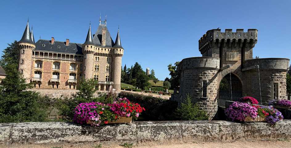
On the way to La Heurgue: at the moated castle in La Clayette.
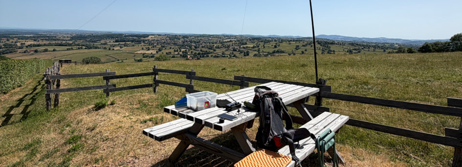
FL/VL-055, Heurgue: a wonderful view of the Brionnais basin from this vantage point, even if it doesn’t quite look that way in the picture.
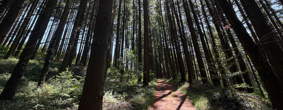
FL/VL-004, Montagne de Dun: On the forest trail at the actual SOTA summit, Dunet.
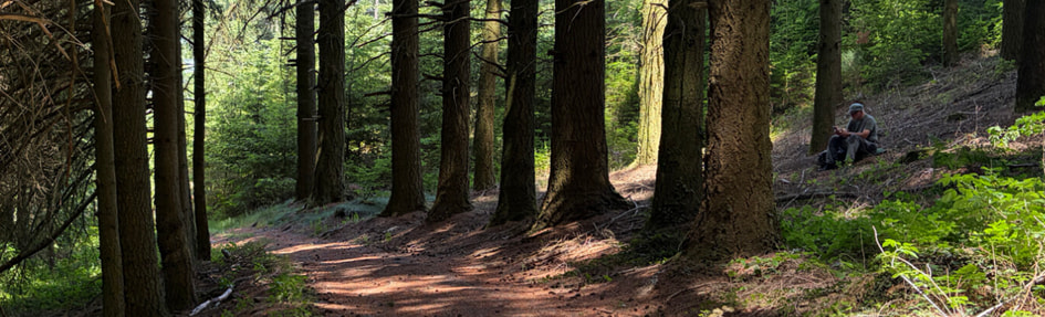
FL/VL-004: Armin had set up on the other side of the trail.
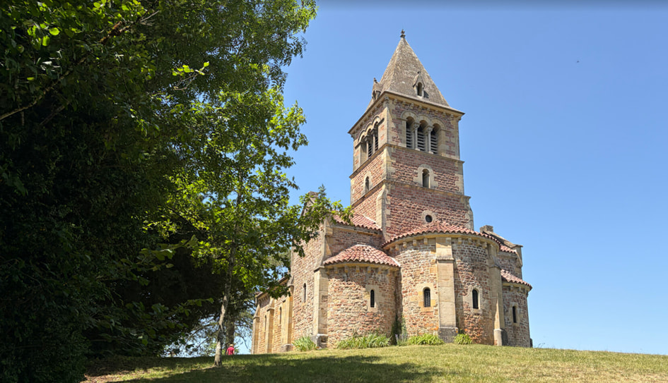
A pretty chapel on Montagne de Dun, unfortunately locked. But behind it is a beautiful view.
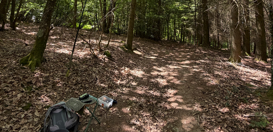
FL/VL-105, Grande Roche: Doing SOTA on a forest trail here as well. Unfortunately, the beautiful view to the east of the summit is not within the activation zone.
Day 5 – Wrapping-up summits in Southern Burgundy
Our week-long vacation was slowly coming to an end. Due to another commitment, we left two days early. With an eye toward the remaining summits, we went our separate ways that day. Armin and I worked through the summit list in the area, while our companions toured Cluny and pursued their own interests.
- Rouvray, FL/VL-054, 551 m, 4 points: Rouvray is a wooded hill south of the N79. We activated the summit on a dirt road near the D289 highway and delighted our fellow hobbyists with one of the rarer summits in the area. Pure rural idyll and seclusion! Hike time: 5 minutes.
- Mont Saint Cyr, FL/VL-030, 771 m, 8 points: The highest summit on our tour is a popular destination. From a triangular hiking parking lot with picnic tables, the summit is quickly reached via a small, traffic-free road. A charming summit area with a beautiful view from the south over our region. Hike to the summit: approximately 500 m distance, 50 hm elevation gain, 15-minute hike.
- Montagne de Charmay, FL/VL-042, 593 m, 4 points: The forest trail from the parking area south of the hill is rarely used and is somewhat overgrown. We had also been warned about ticks. So we ventured only as far as the activation zone and set up our antennas among the branches at the forest entrance. Hike to the summit: approximately 600 m distance, 70 hm elevation gain, 15 minutes hiking time.
- Mont Botey, FL/VL-050, 561 m, 4 points: Les Carges is a hamlet located at a turn in a connecting road. From a parking spot along the road nearby a house, we were quickly in the woods and in the activation zone. It had been getting warmer every day, and we appreciated our shacks in the shady woods next to the forest road. Hike to the summit: approximately 600 m distance, 70 hm elevation gain, 15-minute hike.
- Mont de Mandé, FL/VL-012, 600 m, 6 points: We even had time for a fifth summit! On Mont de Mandé stands a large radio tower that’s clearly visible from a distance. The easiest ascent starts at a hairpin bend on the main road, which runs through the forest south of the summit. Consequently, the hike is quite shady in the upper section. This was our longest hike to a summit: approximately 1,500 m distance, 150 hm ascent, 35 minutes hiking time.
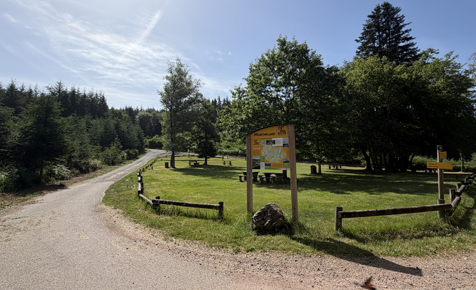
FL/VL-030, Mont Saint Cyr: Picnic area and parking lot.
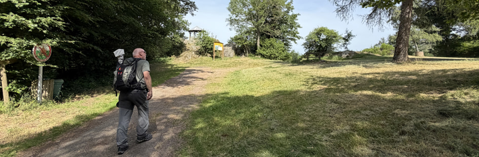
FL/VL-030, Mont Saint Cyr: Armin upon arrival at the summit.
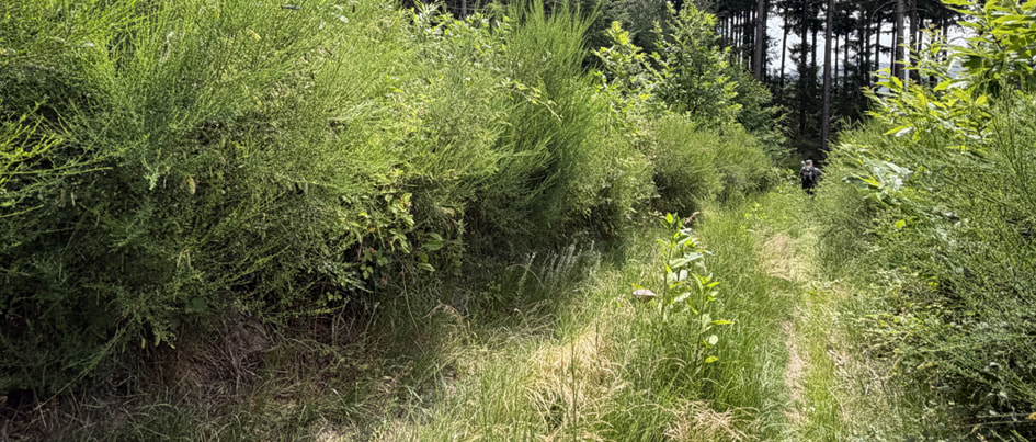
FL/VL-042, Montagne de Charmay: Somewhat overgrown, so we checked for ticks in the evening. We decided not to hike to the very top of the hill and activated this summit after reaching its activation zone.
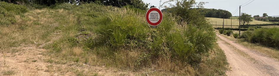
FL/VL-042, Montagne de Charmay: Dumping wood is prohibited here but parking allowed. A convenient spot by the side of the trail south of the summit.
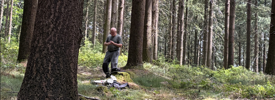
FL/VL-050, Mont Botey: It was getting warmer every day in southern Burgundy, so we were happy to take advantage of the shade in the forested areas! The summit north of Les Carges can be reached in 15 minutes after parking.
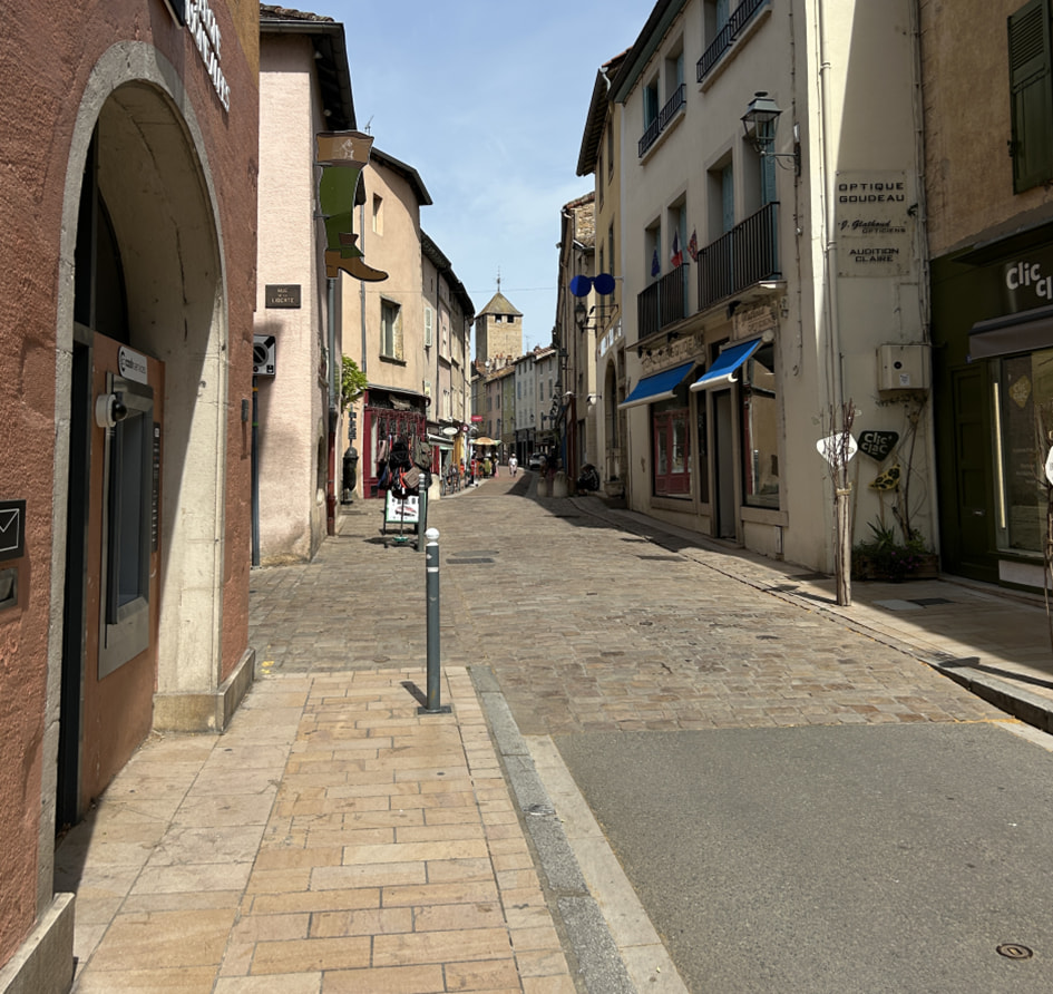
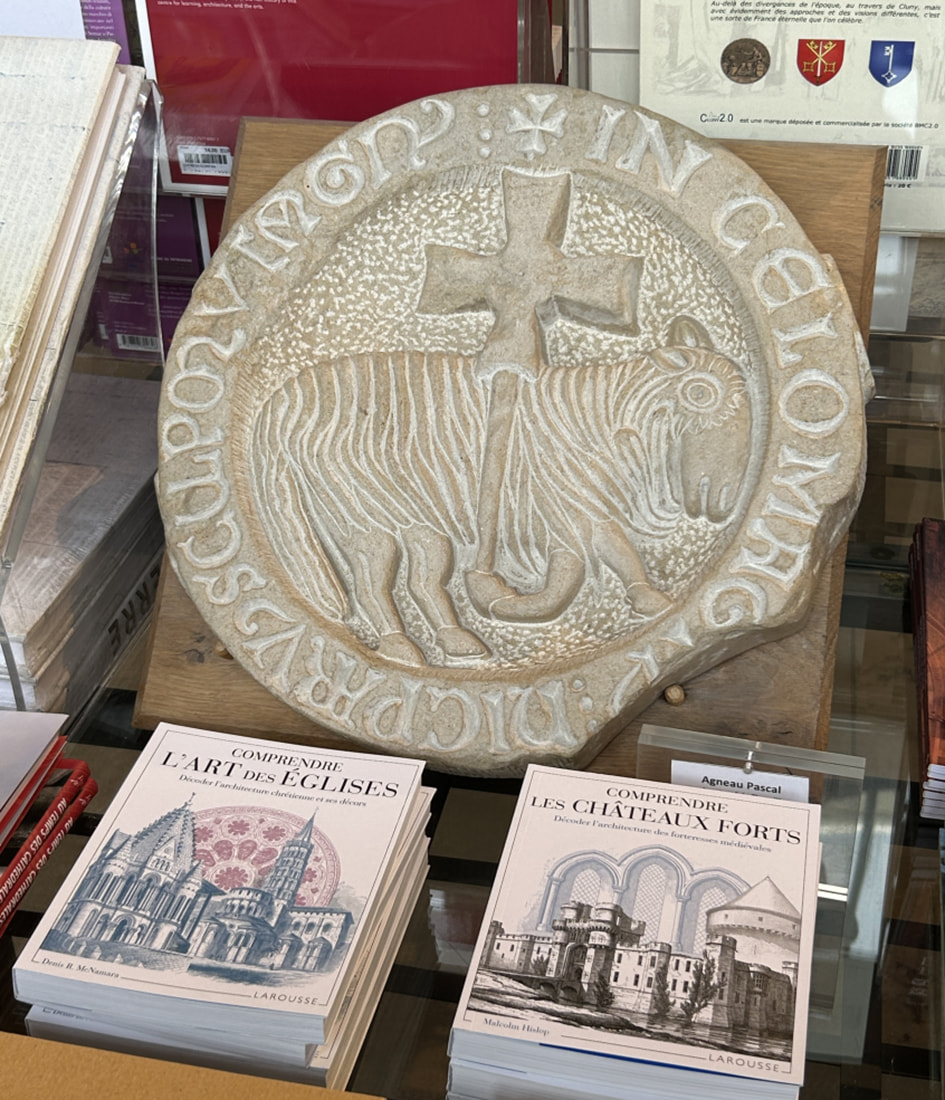
Photos from the cultural program in Cluny were sent to us electronically.
While preparing, I’d noticed that our lodging was located right in three POTA areas, including a solitary one that I couldn’t activate anywhere else. So one evening after returning home, I set up my radio gear on the small road next to the farm and figured I’d get it done quickly. But I was way off: On the first attempt, the radio conditions were so poor that I only managed 3 QSOs. The next day, I finally managed the 10 QSOs required for POTA, but it took me over an hour and a half. My enthusiasm for this kind of POTA fun remained within very narrow limits.
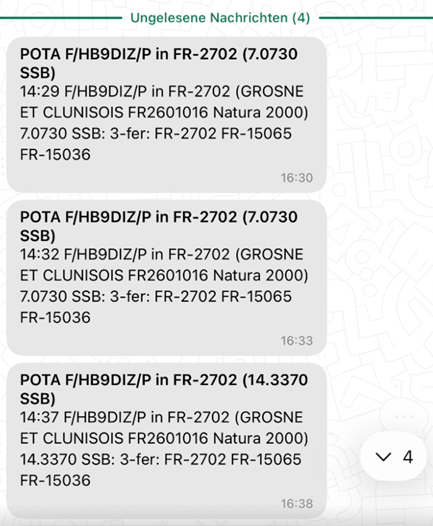

POTA without SOTA right next to the vacation rental. It didn’t go very well on the first try. The next day I had better luck, but it took me forever to make the 10 QSOs. Phew . . .
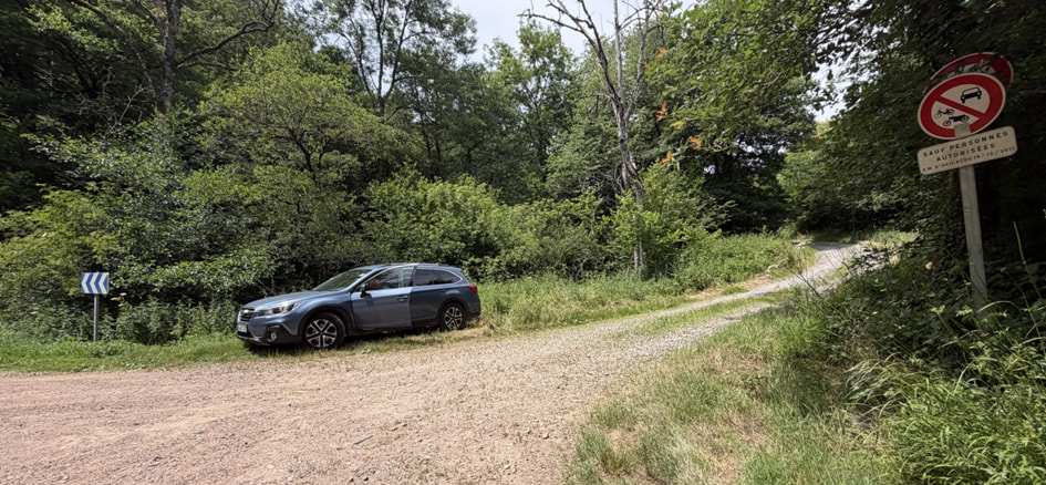
We even managed a fifth summit beforehand. Parking for FL/VL-012, Mont de Mandé, at a hairpin bend on the D134 main road in the forest. The forest trail behind it leads to the summit.
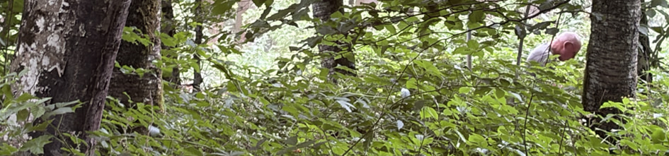
CQ SOTA de F/DL6GCA/p – Armin, well-camouflaged at the summit. If you enjoy operating from wooded hills and among the greenery, you’re in good hands in Southern Burgundy. There are no real mountains here – maybe next time!
Day 6 – Farewell, Southern Burgundy!
On the morning of our return trip, we managed to climb two more small peaks on our way to Mâcon. Armin then bagged the remaining two peaks on the itinerary the following day on his own: La Croix Sainte-Barbe (FL/VL-072) and La Pierre de Fay (FL/VL-032).
- La Rochette, FL/VL-082, 424 m, 2 points: A lovely viewpoint awaits the activator as a reward after the work is done. The hiking trail starts at a small radio tower and leads through a sparse forest. Hike to the summit: approximately 500 m distance, 50 hm elevation gain, 15 minutes.
- Bois de la Roche, FL/VL-087, 392 m, 2 points: The parking lot looks like an abandoned campground. In the right corner, a small forest road leads up to the summit. Once I reached the activation zone, I quickly earned these two points as well. Hike to the summit: approximately 600 m distance, 60 hm elevation gain, 15 minutes.
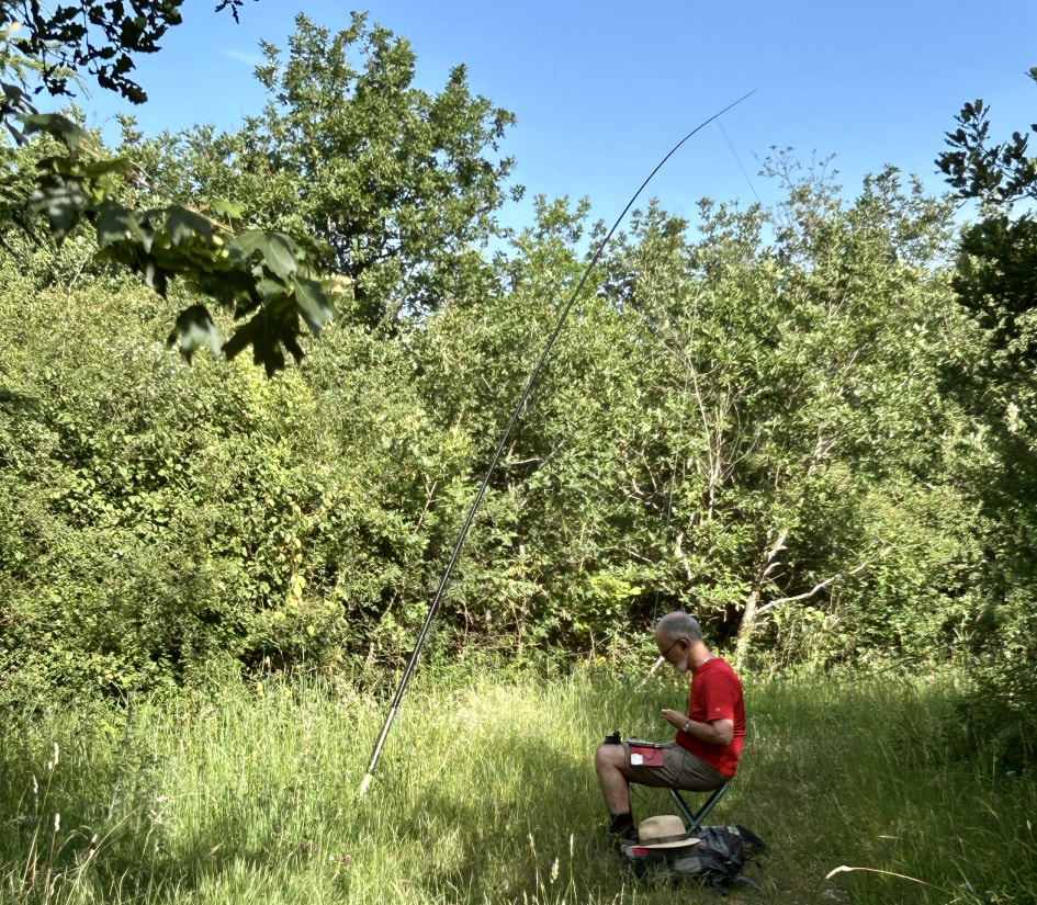
FL/VL-082, La Rochette: Further back, the area was too overgrown even for me – hiking trail or not.
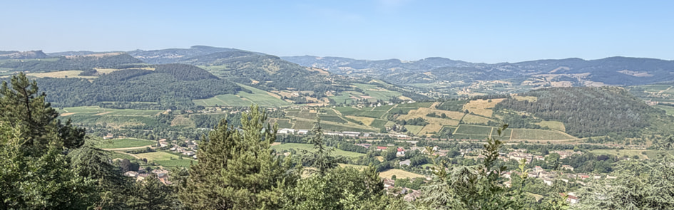
FL/VL-082, La Rochette: At the Belvédère lookout point, there was a visual recap of the trip through Southern Burgundy. It was lovely!
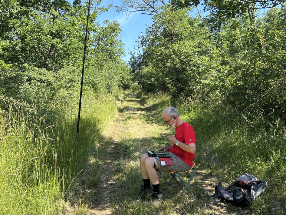
FL/VL-087, Bois de la Roche: Almost a copy-paste of the previous summit, but a bit warmer!
For us, it was now time to say goodbye to a peaceful and quiet area where, in addition to enjoying SOTA, we were able to relax and unwind and take part in some cultural activities. After crossing a few mountain ridges, we quickly reached the A6 highway. Two hours later, via the A36, we arrived in Basel, where we got stuck in a stubborn traffic jam. But we managed to get through that, too.
Many thanks for the tips and tricks to Andy, @HB9JOE, Chris, @HB9CYV – who is often in the area and knows it very well – and also to @F6FTB, Christian, the FL/VL regional manager for the SOTA program. Along with the previous operators and the informants in SOTLAS, they were the ones who opened the door for us to this great area!
Vy 73 de Markus, HB9DIZ
Important Disclaimer: In no case will the author of this report be liable for any direct or indirect damage resulting from the use of information of this report.