This proved a lot more difficult a climb than its 6 points would have predicted. Turning off the road between Arangas and Rozagás you immediately start climbing a single track concrete road up to a tight turn around section where you park your car. If you meet something in the opposite direction, be prepared to reverse back, noting there is no barrier at the edge.
The climb can be broken into three sections. The initial steep section to get to the meadows, navigating the bumps and hollows to the base of the summit and the final climb / scramble to the top.
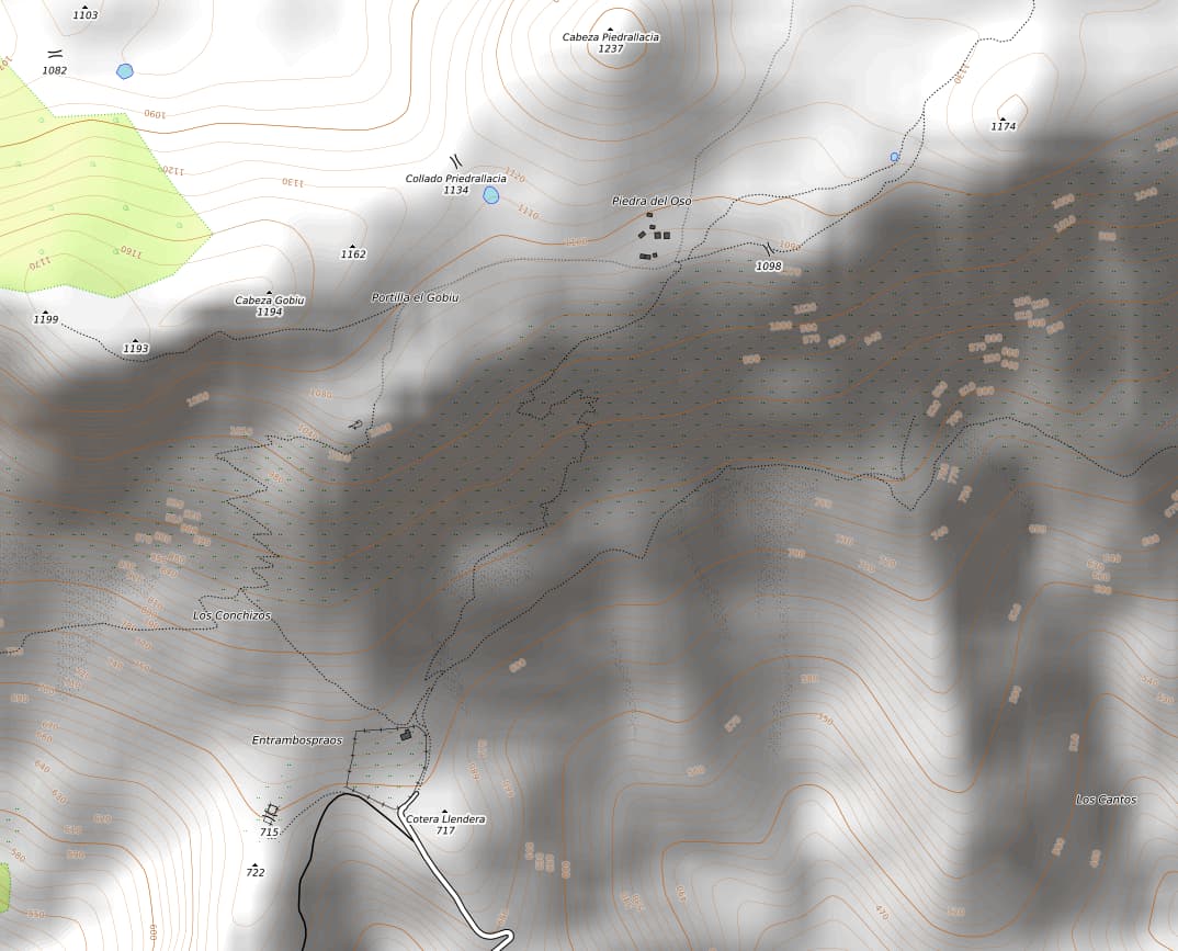
The opentopo map suggests two paths from here, but one to the north east, that looks shorter, is very vague and we quickly abandoned that one. The way to the summit is to head to the north west after the small meadow / hut and take a long straight section to the zig zags which will take you through the steepest section of the climb. You are heading for Piedra del Oso (a collection of huts) It’s quite steep and the views down are impressive.
If you come to a metal gate in the fence (Portilla el Gobiu) you are on the right track. Carry on to the huts and then take a turn north / left.

The terrain changes a bit here and becomes a confusing series of dips / hollows and false summits. I imagine it would be quite difficult to navigate without GPS using just a map as all the dips and hollows look the same. However, we got lucky, as there was a cross country run on that day and there was a route from here to the summit marked out with flags, so we just followed those !
The last section from the base of the summit is more a climb / scramble than a hike, and the summit is marked with a small hut and trig marker.
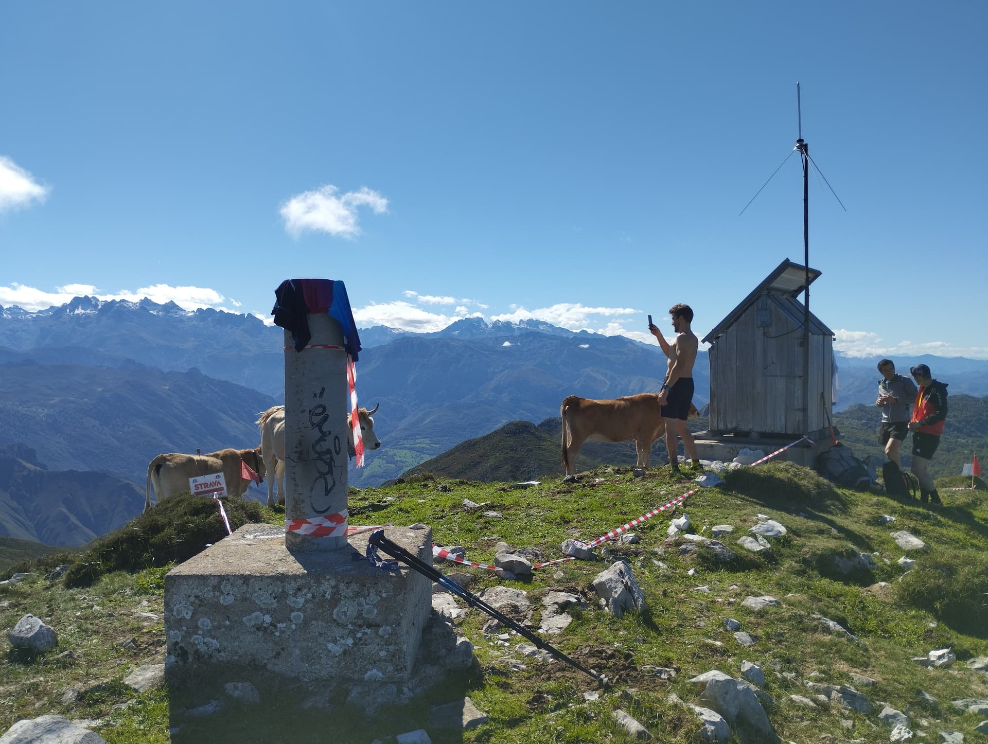
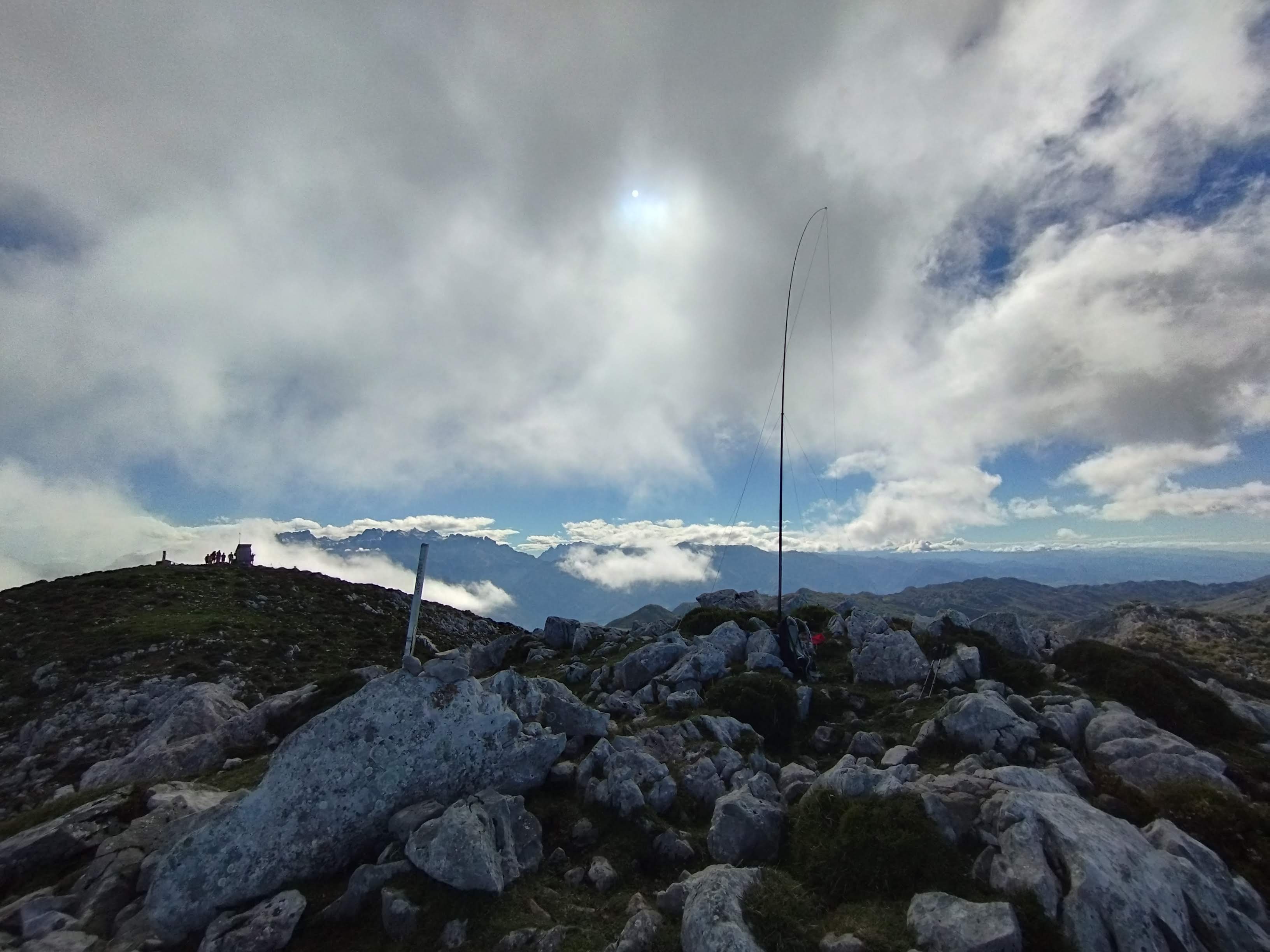
There is an alternative summit within the activation zone, so we went over there to stay out of the way of the race organizers.
I had a good activation, with QSO’s to Japan and New Zealand.
There were fantastic views from here to the sea to the North and Picos to the South.
The climb was about 3.5 Km and took about 3 hours at a very leisurely pace. A determined hiker would probably do it in 2 hours.