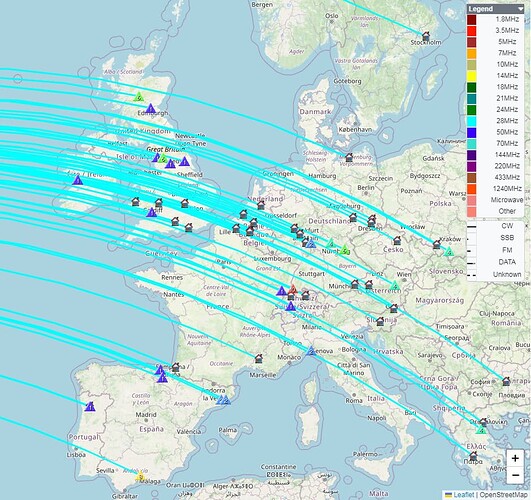
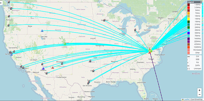
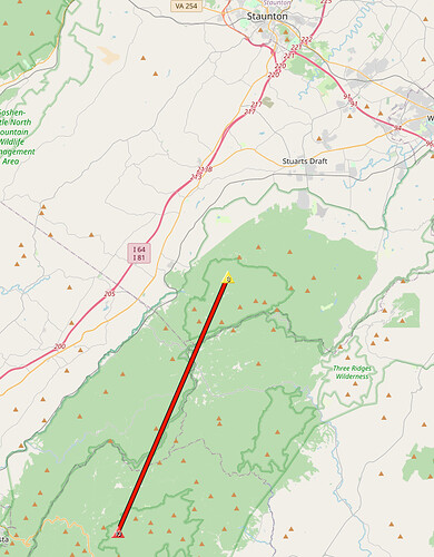
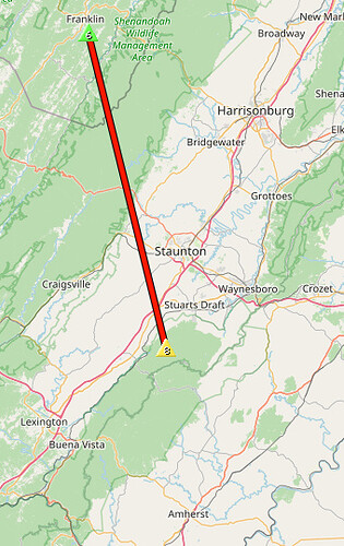
Not a bad day on the summit of Cellar Mtn, W4V/HB-017, where I got to enjoy not one but three parties on November 2nd: The Trans-Atlantic S2S Party in the morning, followed by a local W4V S2S Party in the afternoon. The latter event, in turn, brought a party of two other activators to my summit.
I can’t think of a better way to celebrate my 100th complete summit.
Thanks to the organizers and large number of participants for the fun. It was great to work many activators S2S whom I often chase from home. Thanks also to the sun for providing plenty of UV and X-ray flux but without any CME unpleasantness.
I spent about six hours at the summit and ended up with a decent haul:
Total QSOs: 112
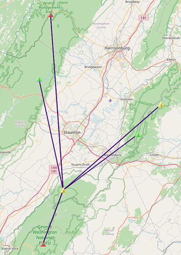
S2S QSOs: 51
S2S with Europe, all 10 m CW: 27
S2S with North America on 10 m CW and SSB: 9
S2S with W4V and W8V on 2 m FM: 15
image credit: sotadata.org.uk
image credit: sotadata.org.uk
Cell service was almost nil. I was able to load spots only twice. As a result quite a few S2S opportunities were missed on 10 m, particularly on SSB. After pacing around the summit in an attempt to divine a bar or two of 4G, I gave up on refreshing the spots and fell back on operating the old-fashioned way: alternately CQing and tuning up and down the CW segment of 10 m to look for activators. No big deal; I could tell RBNhole was doing its job.
Here’s the rest of the story.
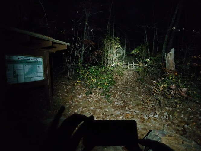
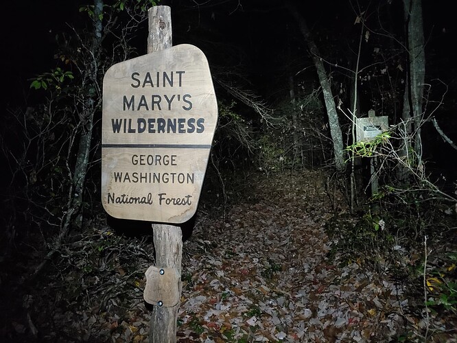
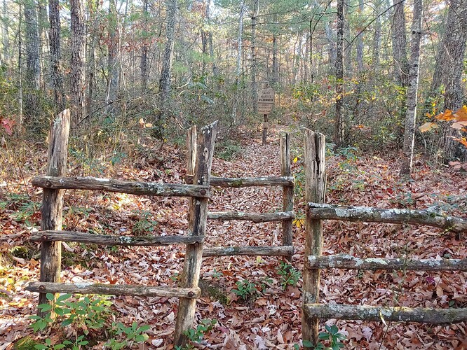
I left home at 4:30 AM, arrived at the trailhead at 6:30 and started the two-mile hike by headlamp:
Not far up the trail, my light and footfalls startled two turkeys out of their roosts, breaking the silence in the dark woods. They flapped away with a sound not unlike helicopters going over at low altitude.
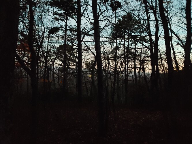
The lights of Waynesboro below:
Dawn in the St. Mary’s Wilderness:
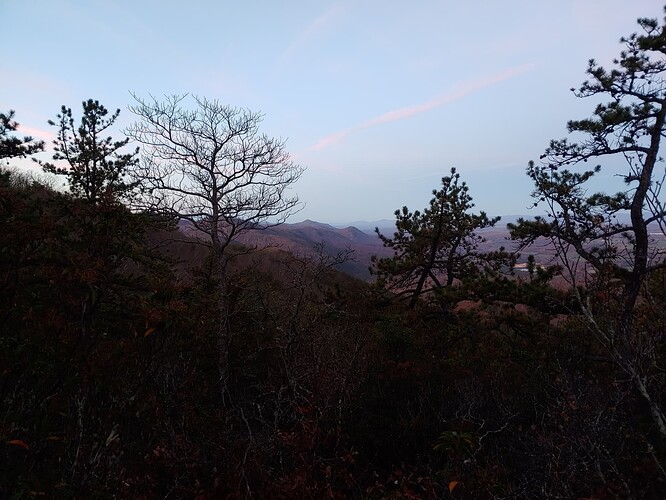
Sunrise over the Blue Ridge:
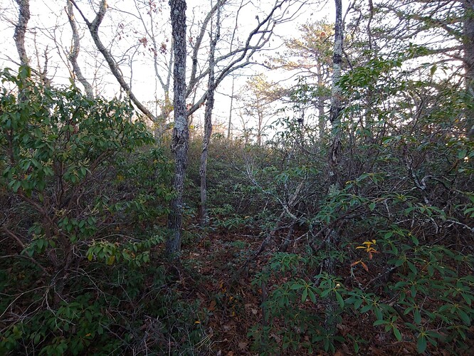
As the trail just skirts the activation zone, the final leg of the hike is a bushwhack through an unbroken stand of mountain laurel and assorted briers and brambles. Hardly a passage to be found. All you can do is just plow through where it seems the least thick:
Why this summit, you ask? Aside from liking a challenge, I only do uniques for the time being. With 128 activated now, I’m scraping the bottom of the barrel when it comes to new ones close to home.
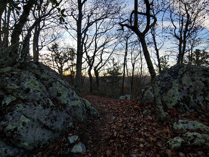
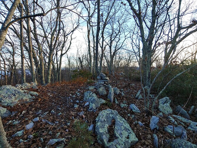
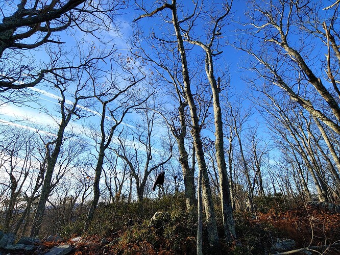
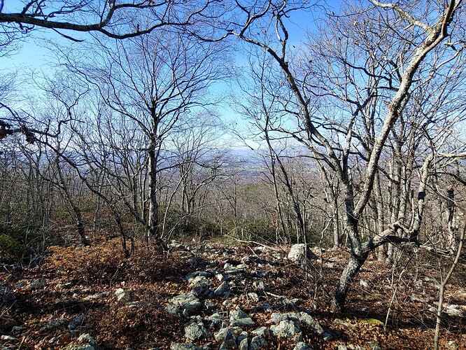
The summit itself is actually pretty nice. A winter view, good trees for hanging the antenna, yet open and level enough to get the dipole up easily.
The summit cairn looks new. Built by a recent activator perhaps?
Since @DL4FO asked in another thread, my antenna was a homebrew, linked dipole for six bands, 40 m through 10 m, installed as inverted-V with feedpoint about 7 m above ground and broadside aimed to EU:
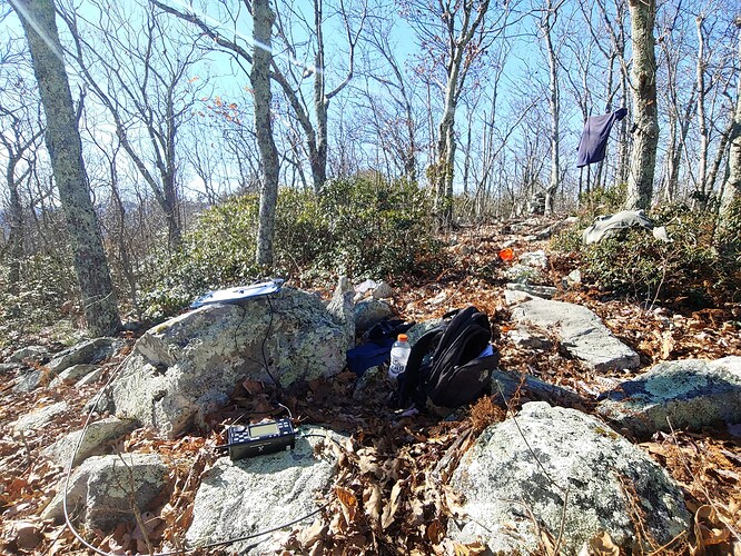
And the rig was a Xiegu X5105 running at 5 W. The large rock made a comfortable office chair for my six hour shift:
About 3.5 hours into the activation, the activity on 10 m had slowed. I turned on the 2 m HT and put out a “CQ SOTA” on the simplex calling frequency, thinking some attendees of that morning’s W4V SOTA Workshop might be making their way to summits for the local S2S Party which follows.
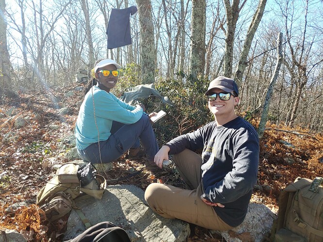
I got an immediate response from Mary, KC3YCZ and Will, W3RJX who said they had just started out on the trail up Cellar Mountain. Surprised, I responded that they’d be very welcome to join me but duly warned them about the difficulty of the bushwhack at the end. I told them to give me a call if they needed help navigating the brush.
The DX-fest resumed on 10 m while I kept an ear on the 2 m HT, pausing now and then to work local summits.
After a while I called Will and Mary to check on their progress. They asked advice on where to turn off-trail for the summit. I guided them by radio through what I had found to be the least-bad route. It was good to see them finally stagger out of the brush and onto the summit.
Mary, KC3YCZ and Will, W3RJX jumping into the W4V S2S Party on 2 m:
The esteemed members of the 2024 Cellar Mountain Expedition:
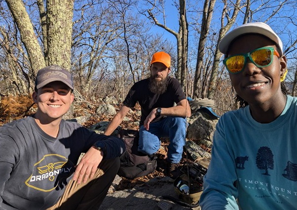
image credit: Mary, KC3YCZ
Satisfied with my log, I packed up and chatted a while with Will and Mary as they set up and started operating.
Heading down, I tried to find a better route to the trail. This proved to be a mistake. The stand of laurel to my left, which I was attempting to out-flank, extended farther down the mountain than expected:
My course on the GPS was diverging ever farther from the trail, with the sun getting low and no end to the wall of laurel in sight. I contacted Will and Mary and advised them to descend the same way we had come up.
Then I had to decide what to do myself. Weighing the choice between a steep hike back to the summit or diving into the brush on a more direct, level course to the trail, I chose the latter. And naturally, the thicket continued all the way to the trail, making for a worse bushwhack than the one I had been trying to avoid.
Back on the trail and farther down, I met a deer hunter with a crossbow. We exchanged a friendly word and I mentioned there were a couple more hikers coming down behind me. Good thing I wore a blaze orange cap today.
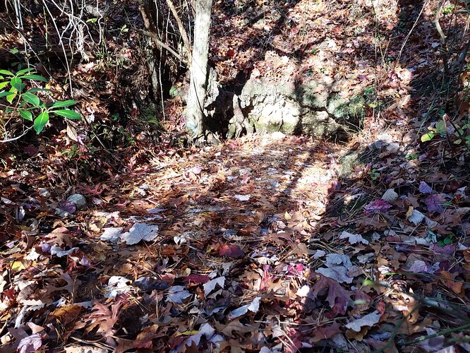
There was a spring by the trail that was bold given the extended dry spell we’ve had. Leaves and needles covered the surface of the pool. In wet weather it must turn the trail into a stream:
Not a particularly long hike, but a long day made more tiring by the unpleasant bushwhack. A bit sore and scratched up, I was glad to be back at the trailhead.
Thanks for reading.
73,
Matt
