Motivation
Activating any 001 reference is always appealing. For years I had the wish of activating Mt. Aitxuri EA2/SS-001, the highest mountain of Basque country.
I see this mountain often while driving to my parents in law home in EA2/VI. I tried hiking this mountain a few years ago but a heavy rain cancelled that chance.
This year my wife proposed going up, just before the incoming autumn makes it more difficult.
With its 1549 m. elevation, higher than their neighbour 001 summits, EA2/VI-001 1481 m and EA2/BI-001 1340 m, this nice rocky range is a quite popular area. There is a very large tradition of mountaineering in the Basque country and every weekend many people goes out in the nature in this beautiful land.
I had brought my tiny (tr)uDSX to activate on HF but I verified my gear before starting the hike and discovered with a nasty feeling I had forgotten the CW paddle, doh! This should be a VHF only activation then…
Let’s see how we managed to get to the top.
Activation date: October 13th 2023.
Driving directions
There are several routes that approach to this summit.
We choose to start in the Franciscan basilica of Arantzazu, a lonely and iconic spiritual place in the middle of the nature.
Built back in 1950s, its distinctive modern architecture caused controversy by the time. The name “Arantzazu” resemble some words a sheperd shouted when the figure of the Virgin Mary appeared to him. These words mean, “Thou, among the thorns”.
This area has lots of plants, and among them, there is the hawthorn (Crataegus), a small tree in the family Rosaceae, with thorny branches. You’ve probably seen this tree sometime and its bright red fruits:

These thorns inspired the architect who built a curious church that resembles that characteristic, by means of pyramid-shaped towers.
See how the sanctuary tower looked like the day before at night, when we arrived:

And let’s see it now in daylight, curious uh?

After a 1 hour 30 min drive from home we were in Arantzazu the previous afternoon to sleep there, in the Sindica hotel.
The hike
- Trail length (one way): 7,5 km
- Mountain elevation: 1549 m a.s.l.
- Elevation gain: 820 m
- Walking time: 3 h 10 min from the start to the summit, at a calm pace.
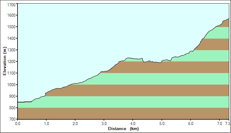
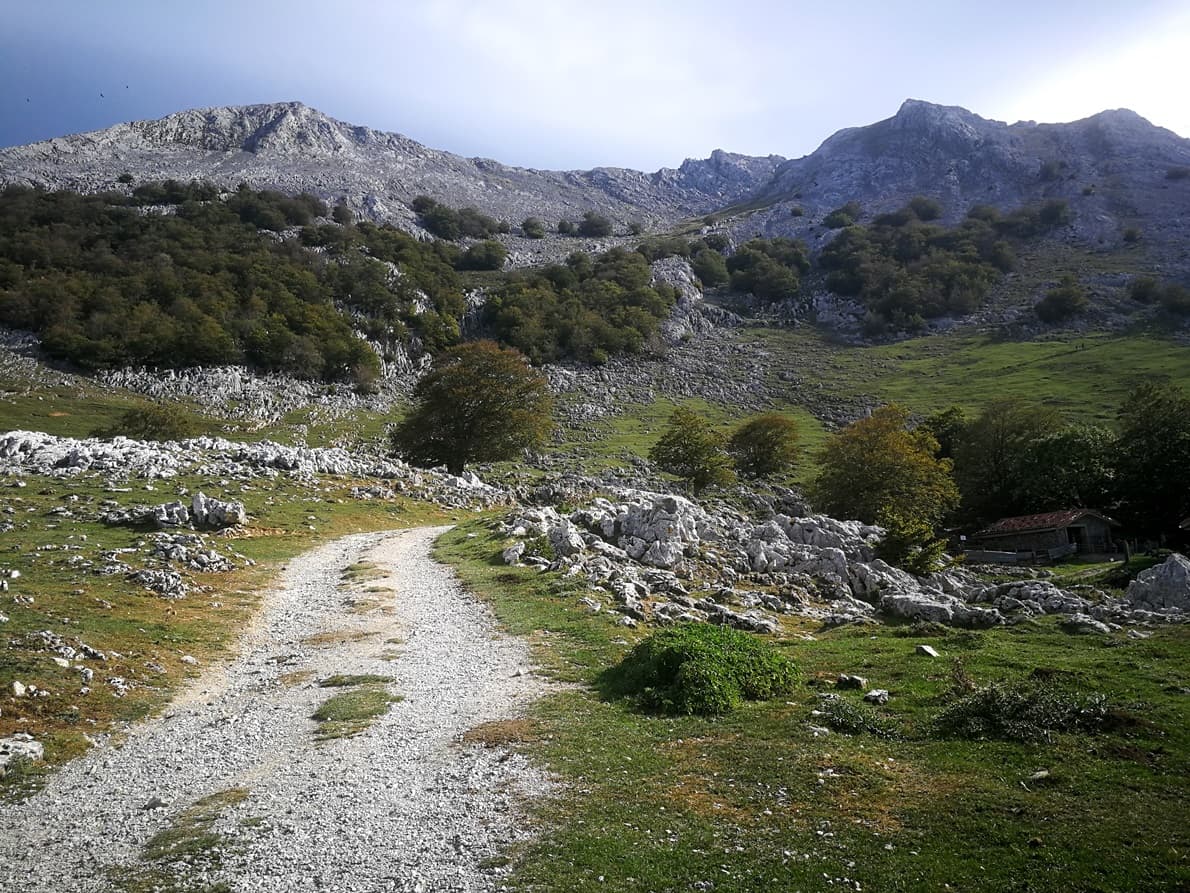
The path to the summit from Arantzazu (730 m. elevation) is made of two parts,as it can be identified in the profile. The first part is an ascent of 4,3 kilometer long through a nice bleech forest. The path is clear and steep at times and took us 1 hour 20 min. See how this part looks like:
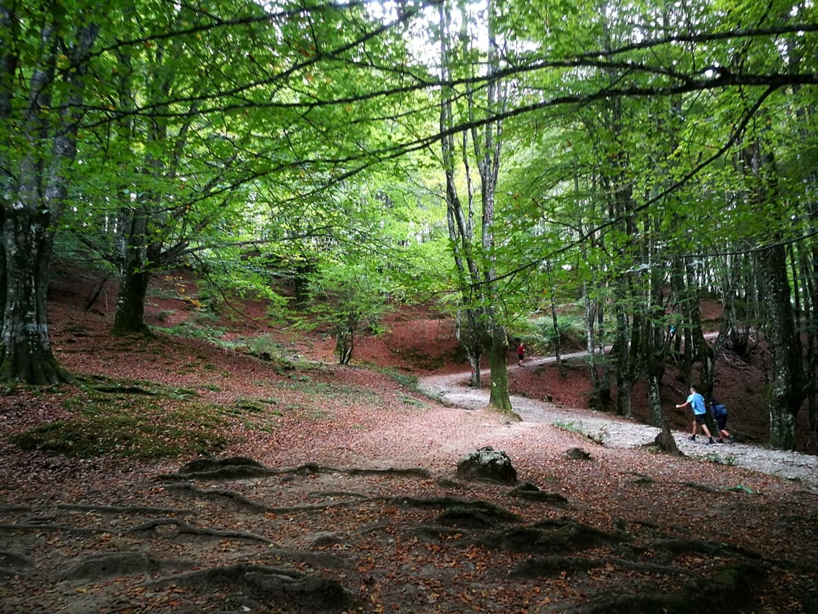
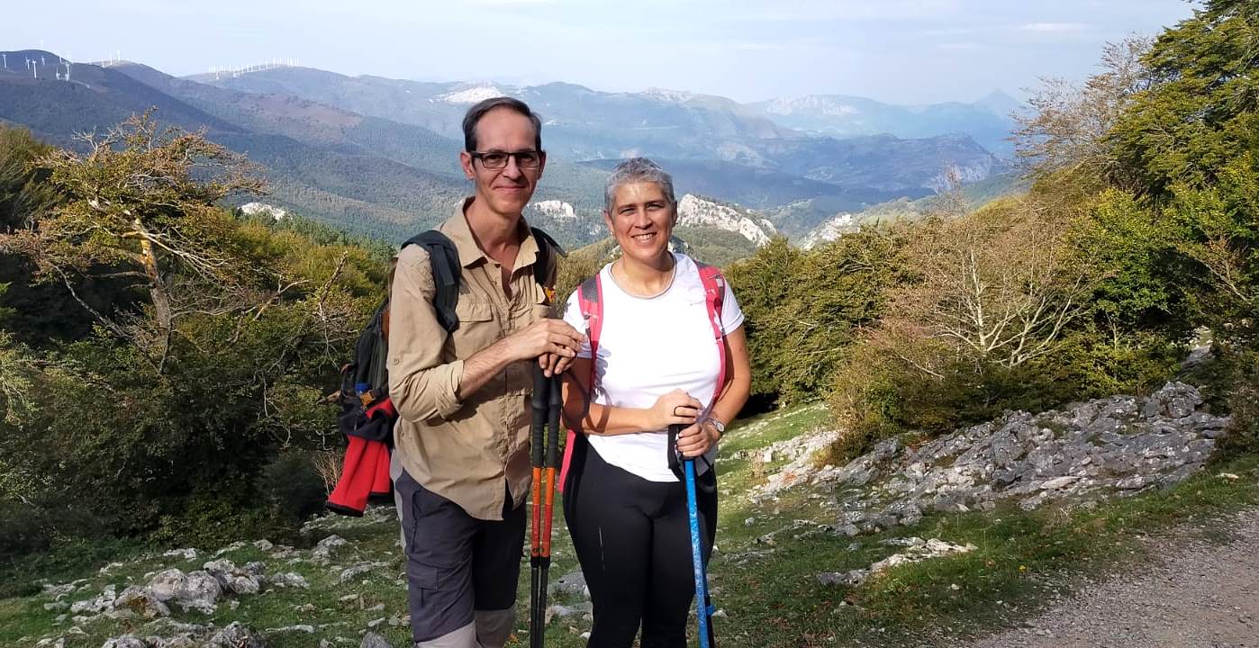
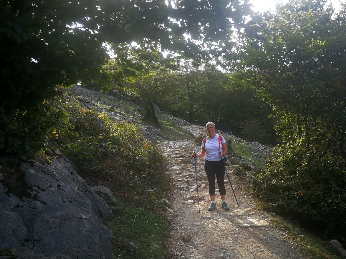
My wife was enjoying the nature so far.
When you end this first part the forest opens a bit and you can look back and see in the distance the buildings around the sanctuary (orange marker in the picture).

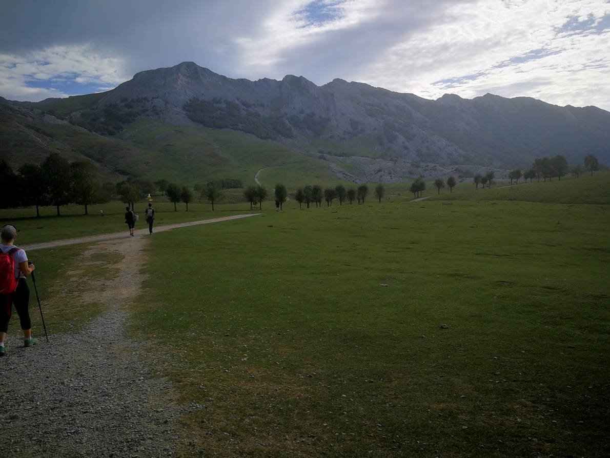
After the forest you reach an immense and wide plateau. You wouldn’t imagine such scenery with grassy flat fields where there are quiet sheeps, horses and cows enjoying this peaceful environment. This place is called Campas de Urbia.
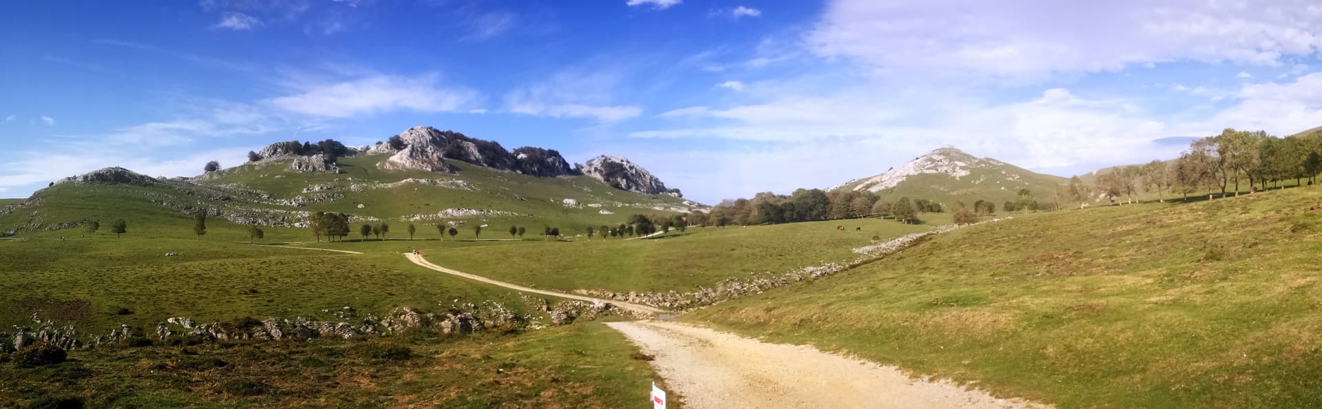
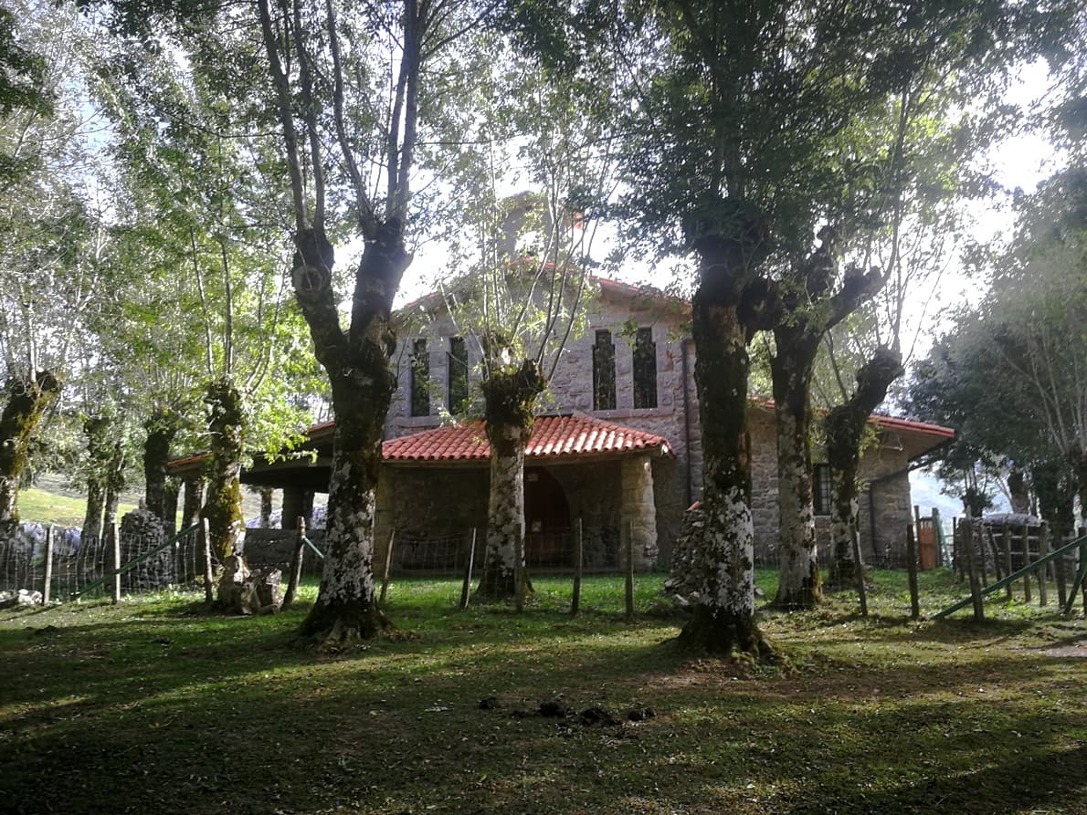
The path is now a dirt road that passes by a stony hermitage.
Further on we found an animated mountain pub and restaurant with many mountaineers having a beer and snacks. We were surprised to find in a corner this red telephone box, converted into a funny tourist info point. Are we in the UK?
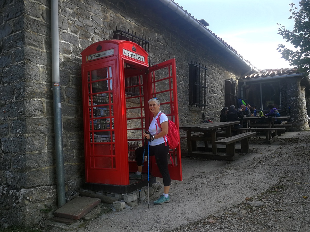
We got on without stopping and my wife asked:
– Dear, are we far from your Sota summit?
She looked astonished at me when I pointed with my hand to the remaining 3,2 km of the ascent, towards the impressive range of Aizkorri, composed of several peaks far in front of us:
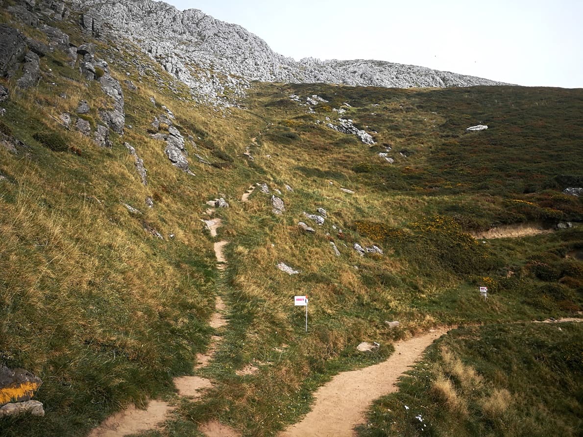
The track soon transformed into a tight and steep ascending path. We had some tense moments there when my wife was a bit exhausted, and she doubted whether to stop and stay or to continue.

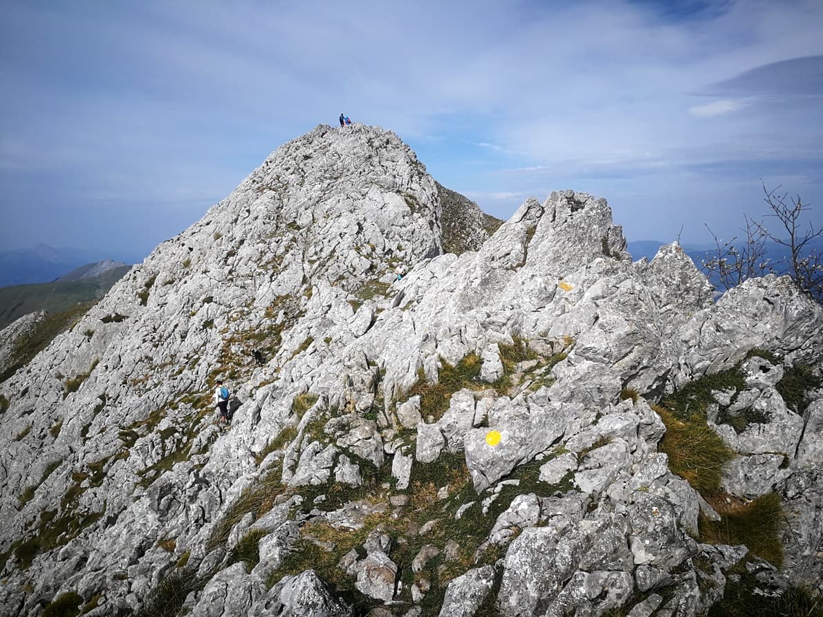
Finally, after a few breaks along the neverending way up she got on with me and we approached the final part. After a curve, the path split in two and we had some doubts which one to take.
We asked to some mountaineers, requesting where the access to Aitxuri peak were,but got mixed answers. They gave us contradictory locations and names for this higher peak.
My wife decided we should deviate left, going straight up, and this choice was soon confirmed; she was right.
We needed some scrambling for the steepest section, but we overcome it with precaution and not very big difficulties.
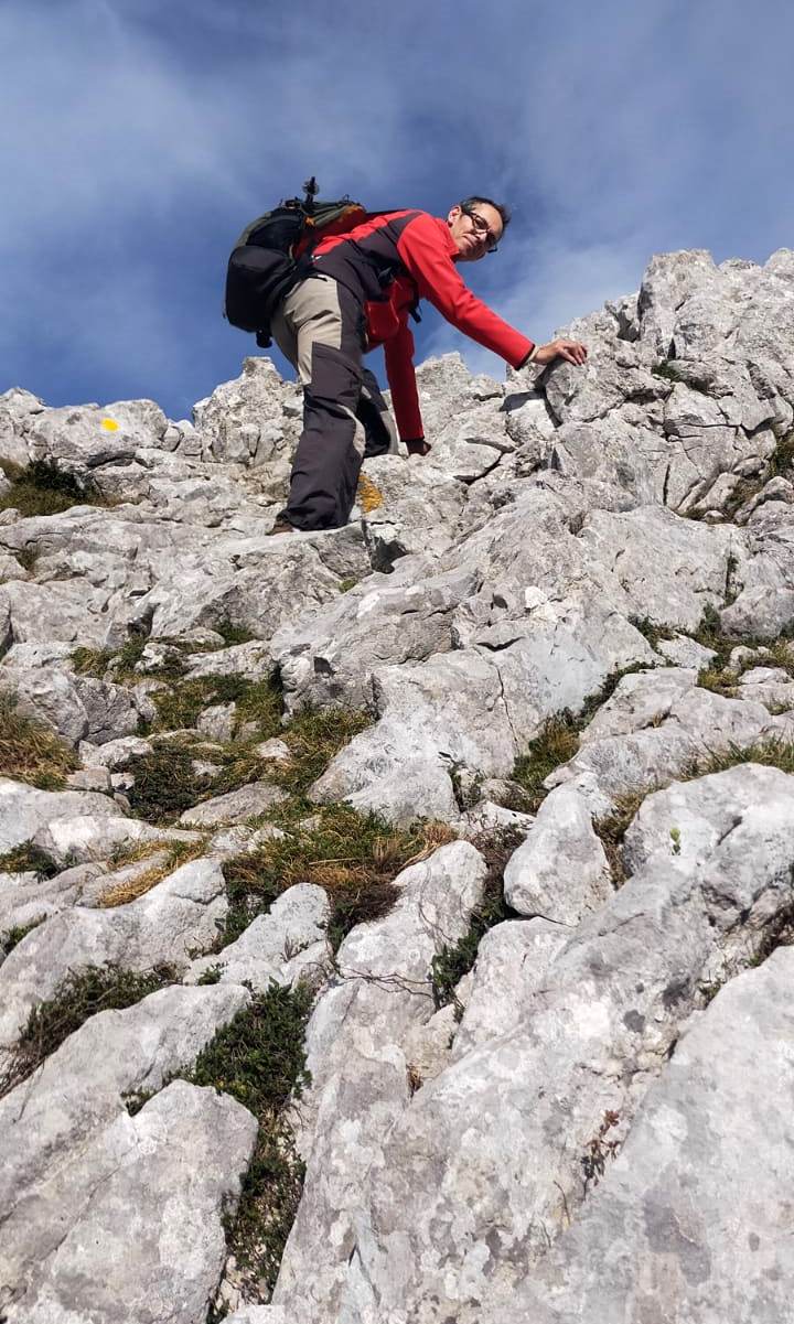
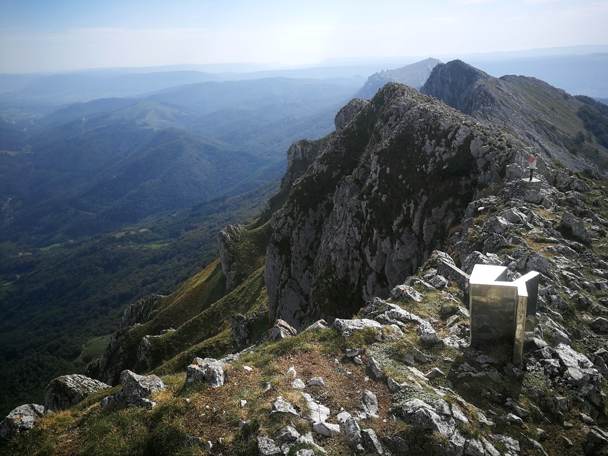
In the end we reached a col and saw Aitxuri at sight with a few people on top. The access was paint marked with some big yellow dots.
Some minutes later we reached the summit,marked with a plaque and a curious mountain mailbox of a drum and pipe, named as Aitzuri, that was put there back in 1975.

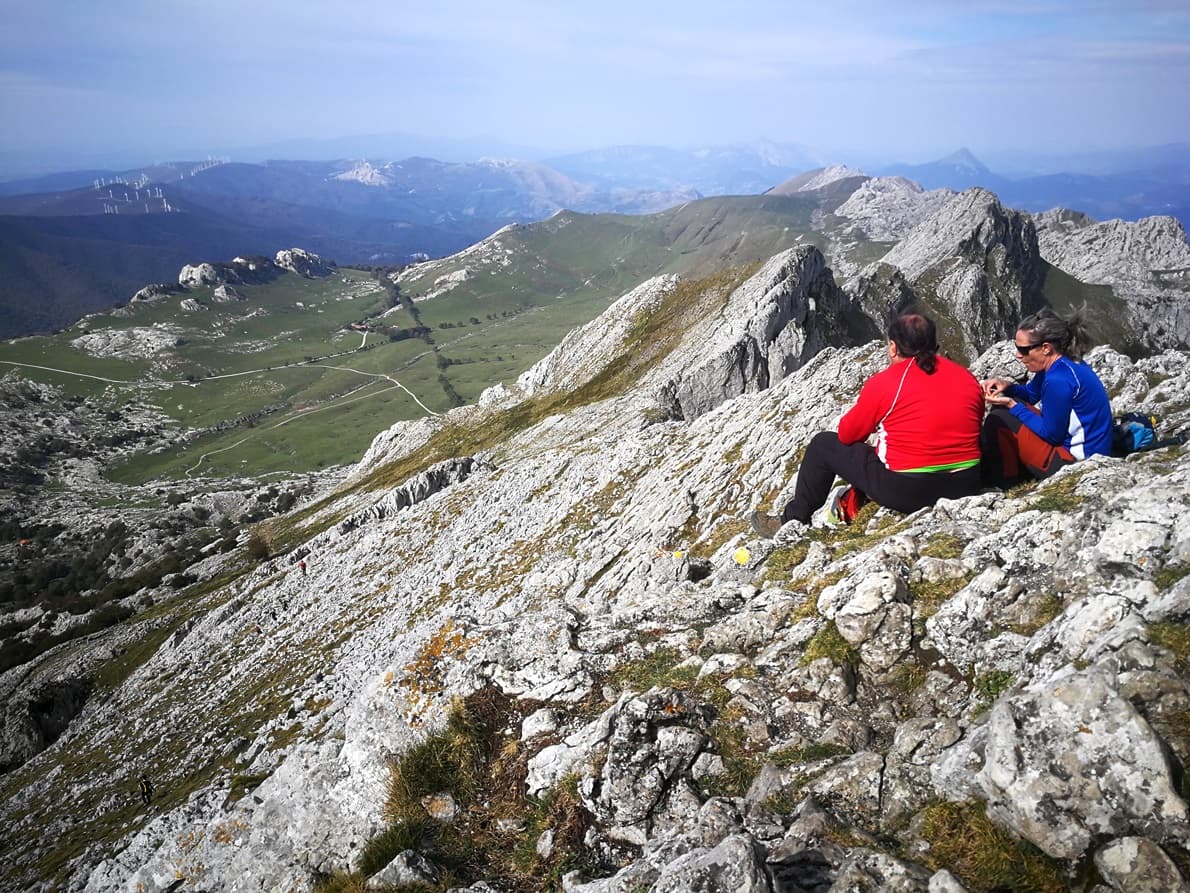
From the summit we saw the wide plateau we crossed almost two hours before:
The activation
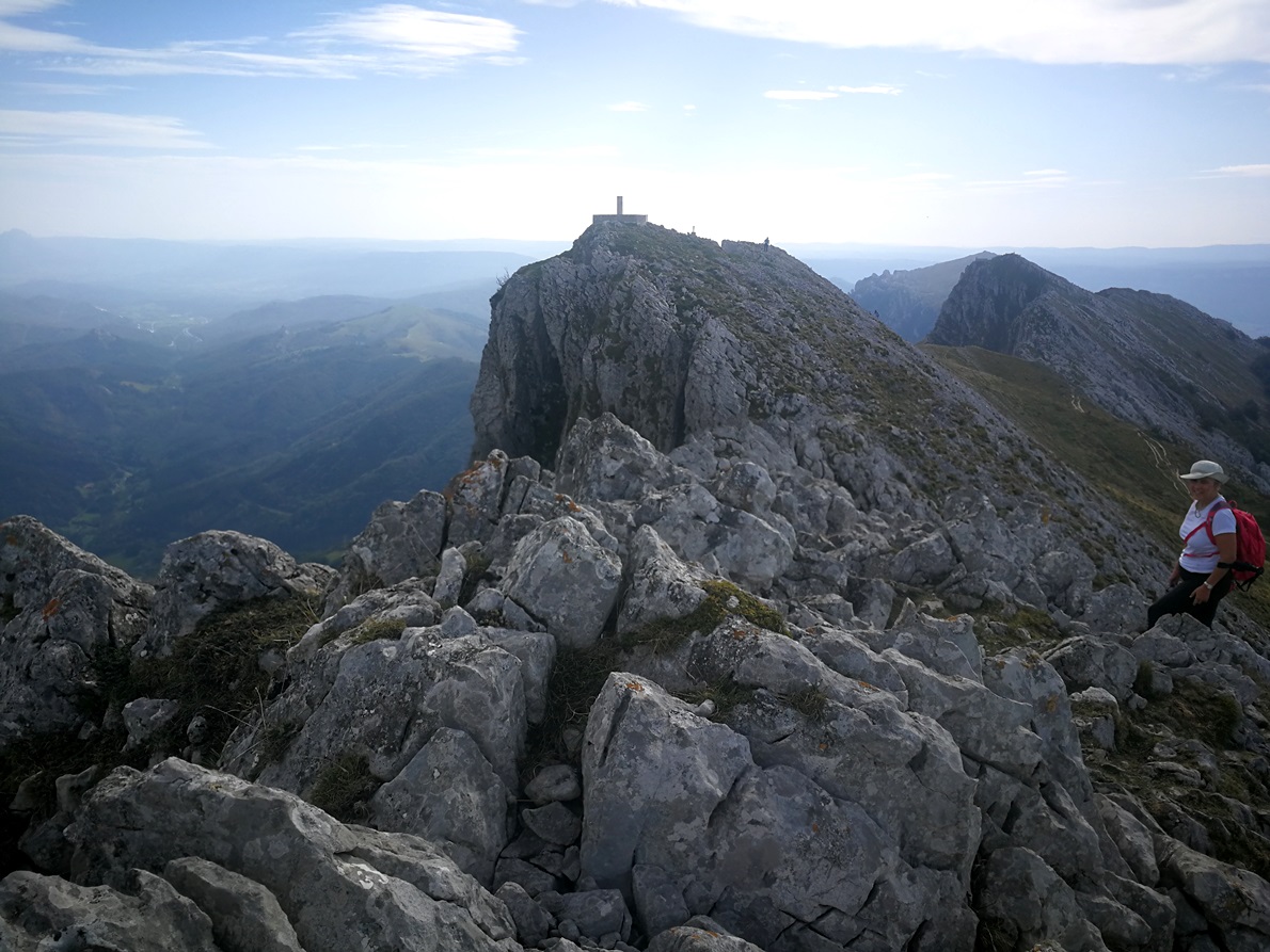
Looking East we had another summit very near, with a big geodetic vertex on top, just a mere 1 meter elevation lower than Aitxuri. Some mountaineers call this one Aketegi, but I’ll give more details on this at the end of the article.
A detailed analysis of the topography once back home confirmed both Aitxuri and that second slightly minor summit could be used for the activation, as the connecting col in between is at 1536 m, just 15 meters below the true summit.
In fact, I’d rather advise to activate in the col as it is much safer and there is enough space for a wire antenna, contrary to what happens in the very summit of Aitxuri which is too exposed and the number of mountaineers passing by the summit makes a radio operation there not comfortable for anybody.
If you prefer to be on top, there is more space along the ridge near the geodetic vertex for a HF antenna, as you can see in this picture taken from the geodetic vertex, looking East:
Despite the strong wind on top I stayed near the summit and grabbed my VHF handheld, a Kenwood TH-F7 with a one metre telescopic whip.

I expected to have a good coverage and selfspotted. I was soon chased, of course, by Chris, F4WBN. Second was a S2S call from EA2EEB and EA2EHK, on EA2/NV-139, 79 km far away.
I briefly heard a call from EA2DT and tried hard to log him but we couldn’t, a real shame!
Then I logged a few more locals and half an hour later I closed my log with 10 QSO.
We had our sandwich on top, and then started the descend as we foreseen a long return.
Toponimic of the peaks
After returning home, I searched for a clear information of the peak names.
I wanted to identify all these peaks we have seen that not every mountaineer that I asked while on the path was sure of the names.
It seems that some names are used since years by mountaineers in that area and some have got mixed. A deep search brought the actual names adopted after a review that the local council (Euskaltzaindia) did a few years ago and it’s attached here, in this map:

I identified them on my photo:

Marked in the center of the range it’s Aketegi (formerly Aitxuri), and it’s neighbour summit Aketegi Erpina, the one with the geodetic vertex. Both are the top summits in the range.
We find also a reviewed Aitxuri in the range, with 1507 meter, located Southeast of Aketegi. The usual name adopted by mountaineers in the past was Aitzabal for this one instead…
Part of this confusion is due to the mountain mailbox marked on top.
Anyway, I’m not local and don’t know deep details of these names and its roots. So we can keep Aitxuri as it is nowadays on the database, as the coordinates are correct.
Probably few people visit this higest summit, and therefore the difficulties to name it, because the most popular summit is Aizkorri (1523 m), the one who names the whole range. The reason for being popular is that there is an ermitage and a free mountain hut.
Aizkorri is this one (picture from internet):

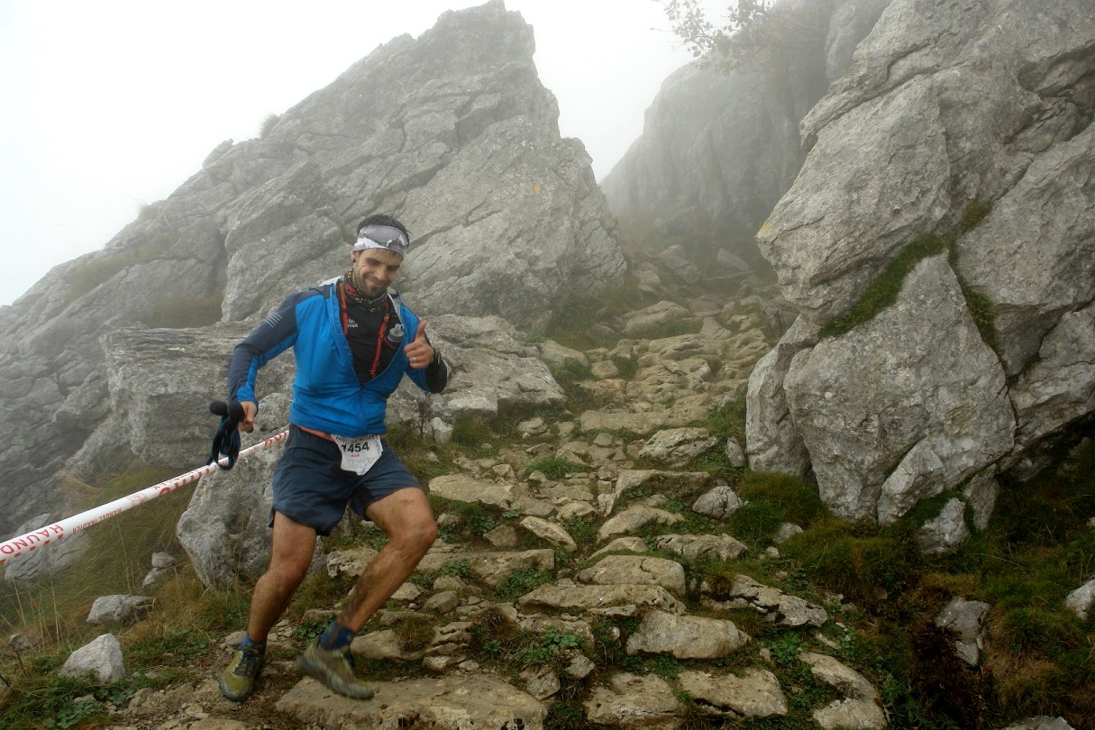
The Extrene sport race: Iru Haundiak 2023
While hiking towards Aitxuri, we found every now and then a small flag indicator, along the path.
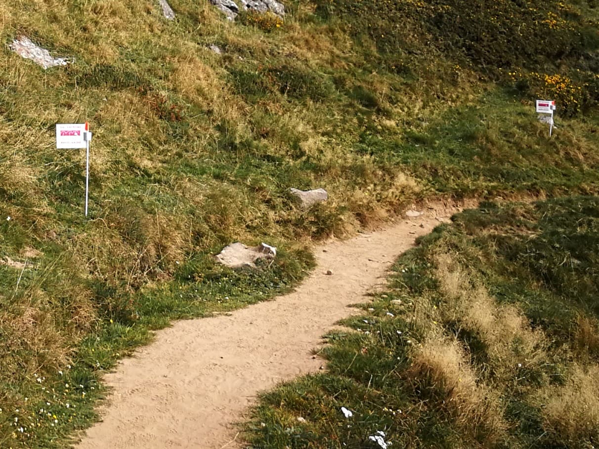
Once back home, I googled the text marked on it. To my surprise, the flags are marking the path for an extreme mountain race. In fact the race started on that very weekend.
This race is 101 kilometer long (on foot!) and the cummulated ascent & descent elevation gain is 10.100 meters, what?
The rules limit a maximum time for the runners to 24 hours to complete it. This is the race profile, crazy!
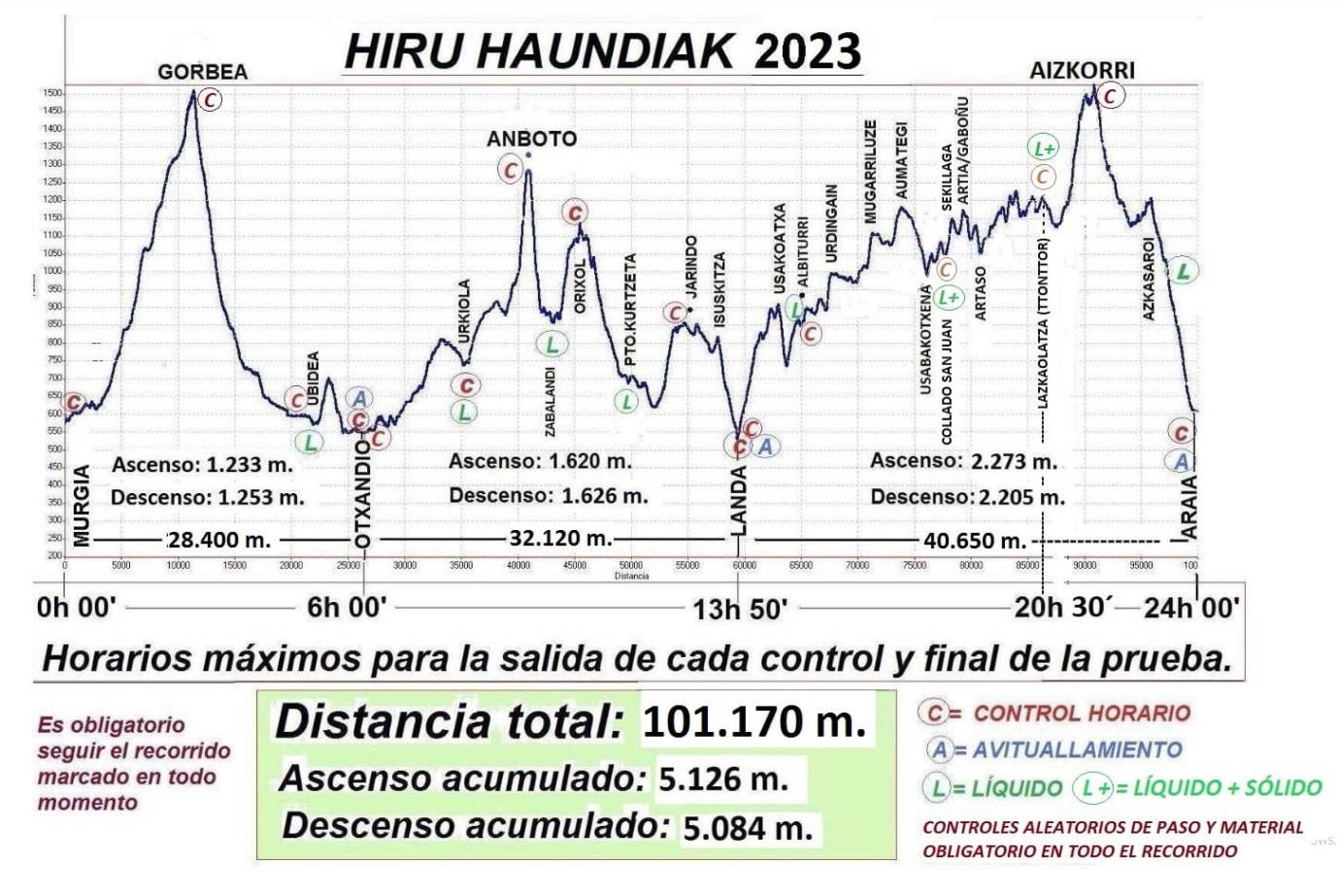
It passes by two Sota summits: Mt. Gorbea EA2/VI-001 and Mt. Anboto EA2/BI-002.
The third and final summit, as seen on the map, is Aizkorri, not the highest summit in the range, as explained before, but the most significant.
The race starts at night.
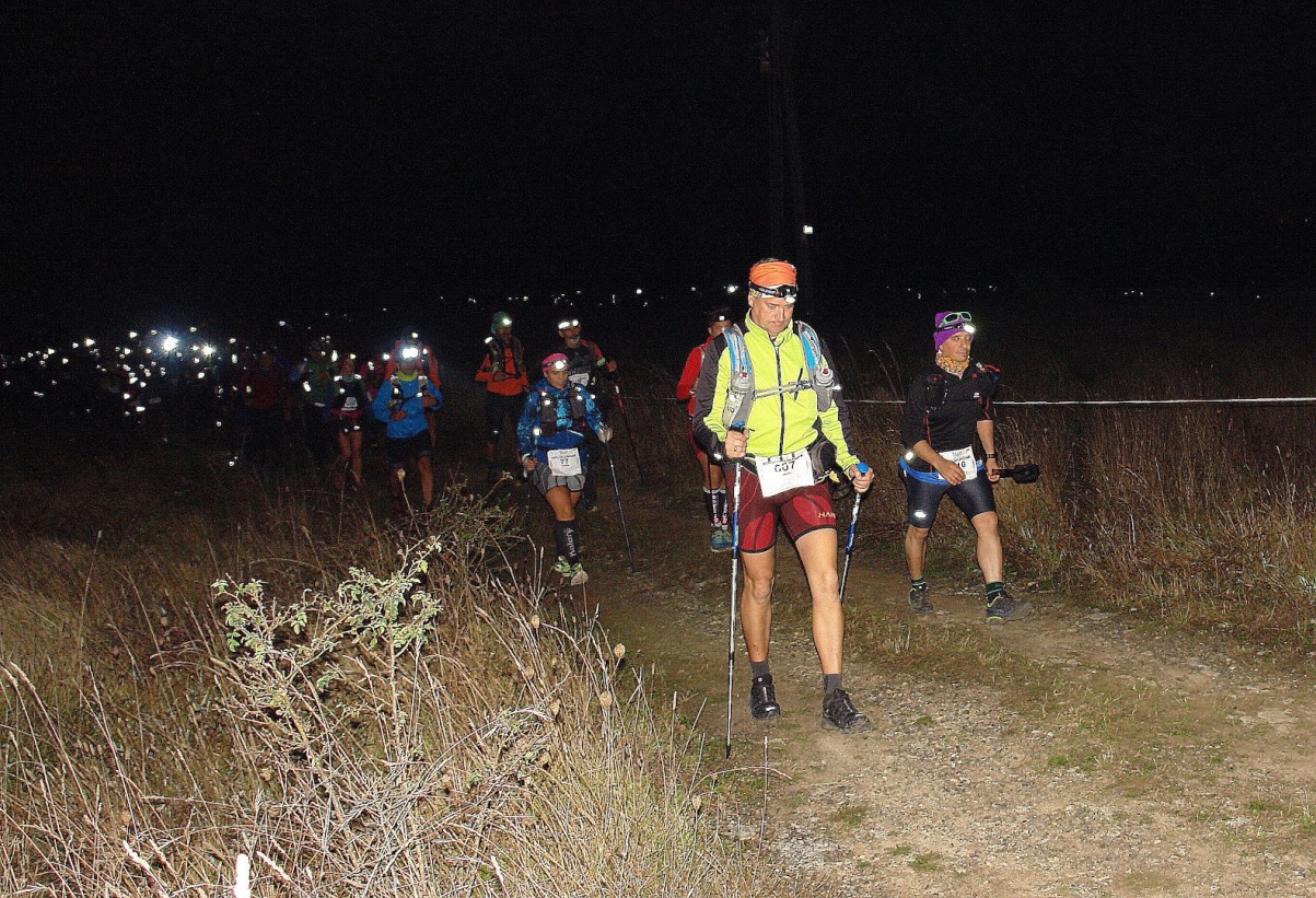
I was astonised with such a hard race, and when I saw how many participants have ran it this year I bumped on my seat: 680 runners finished the whole race!
Well, compared to our 15 km hike today I din’t feel so much fatigated!
73 de Ignacio (and tnx to Mari Mar)