Intro
While in Denver during April and having a chance to activate a few SOTA peaks I was fortunate to meet a fellow SOTA activator. During our conversations the annual CO 14’er event came up as a good opportunity for an active SOTA weekend.
14’er event “Amateur Radio operators from around Colorado will be climbing many of Colorado’s 14,000-foot mountains and Summits On The Air (SOTA) peaks to set up amateur radio stations in an effort to communicate with other radio amateurs across the state and around the world. Join in on the fun during the 25th annual event and see how many of the mountaintop stations you can contact. This year the event is expanded to include the entire weekend, August 6 & 7.”
The plan
It was a simple plan. Fly to Denver; meet up with Brad WA6MM, and backcountry camp Friday night close to the trailhead for Saturday activation. Rinse and repeat for Sunday.
Now, Brad is not your normal SOTA guy. He specializes in 8 and 10point peaks and has a 100% unique summit record. Brad climbs throughout the year mostly solo. 14,000ft peaks are not to be taken lightly, especially when you live at ~950ft ASL. The air at 14k has only about 65% of the oxygen I’m used to. I had a further challenge of no acclimatization time. So this was always going to be a physical test for me!.
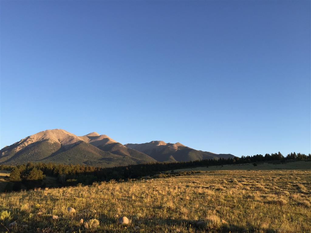
Brad had selected a major peak for us on Saturday Mt Shavano, 14,229ft (W0C/SR-004, 10pts) in the Sawatch Range. This is approx. 3hrs drive from Denver. My flight landed on time and with the new light rail connection, I was at our prearranged meet up point in Denver by midafternoon. We hit the road immediately. We drove to Silada (approx. 3hrs) picked up some provisions, quick dinner at the “Boathouse” and then headed to the trail-head area which is forestry or BLM land. We scouted the Mt Shavano trailhead after a 7mile drive down a dirt track. Dispersed camping is allowed so we made camp.

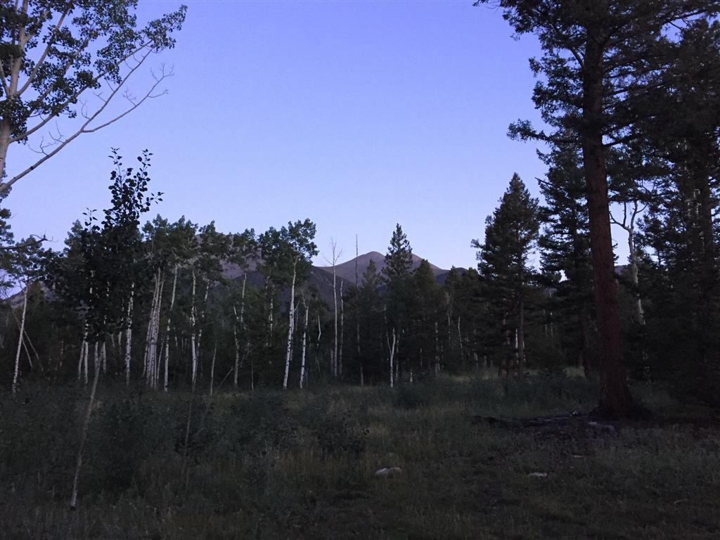
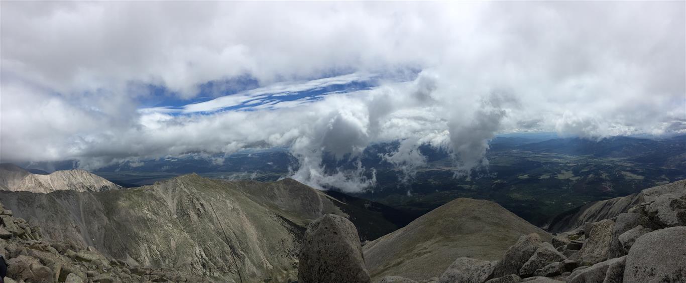
Unfortunately there were threatening low clouds and no view of the summit from the campsite.
Mt Shavano is a 9.25m (RT) climb with 4600ft of elevation gain to 14,229 ft. The trail is reasonably good but you gain a lot of elevation in 4.5 miles! The weather forecast for Saturday was 40% chance of rain and possibility of thunderstorms in the afternoon.
We discussed plans for Saturday morning. Brad thought we could leave the trailhead around 6am and be there in time for the 9 am start of the 14er event. I was more skeptical, my longest hike in the last month was 8 miles and about 2600ft altitude. We were already at around 8000ASL. We agreed to a 0500hrs reveille to start in the dark before 6am. We sorted our packs with water, clothing and food.
Morning seemed to roll around quickly, we experienced some rain during the night and couldn’t see any stars when we got up at 0500hrs. It was damp and cold. Not a bad night’s sleep, but it was interrupted by the rain, coyotes calling and a few “natural breaks”.
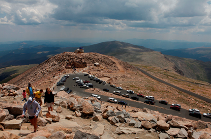
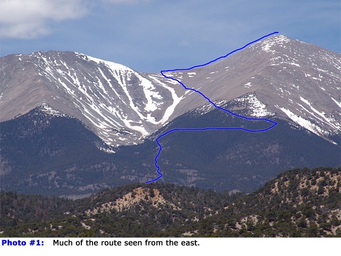
Arriving at the trailhead (2970m) just before 6am there were only two parking spaces left! Within a few mins we were part of the parade up the trail in darkness using our head lamps so as not to trip on the rough track. The rough trail route has been marked on the photo of Mt Shavago.
The pace seemed fairly brisk but manageable. I was huffing but most of the folks around us were chatting up a storm. My plan was to keep with Brad as long as I could and then make my own way to the top. It took a little over one hour to reach the tree line. This was about 2miles into the walk and about 12000feet elevation.
As we broke through the tree line the summit was still shrouded in cloud. We could see a progression of folks ahead of us on the trail snaking ahead up to a shoulder (the feature us Europeans call a Col). I stopped to add a layer, hydrate and have a 2nd breakfast snack bar. 15mims later I was ready to go and I could see Brads red backpack about a half mile ahead. I think he sped up when I stopped …. I plodded on. The altitude was really starting to affect me now. I was passed by a lot of folks on this long stretch, but I didn’t come to CO to walk halfway up a mountain!
The unknown factor for the activation was the weather. Brad had told me to keep an eye out for dark based, puffy clouds and be prepared to retreat at the sounds of thunder. I kept struggling ahead and finally lost sight of Brad as he made the shoulder.
Eventually I made the shoulder.
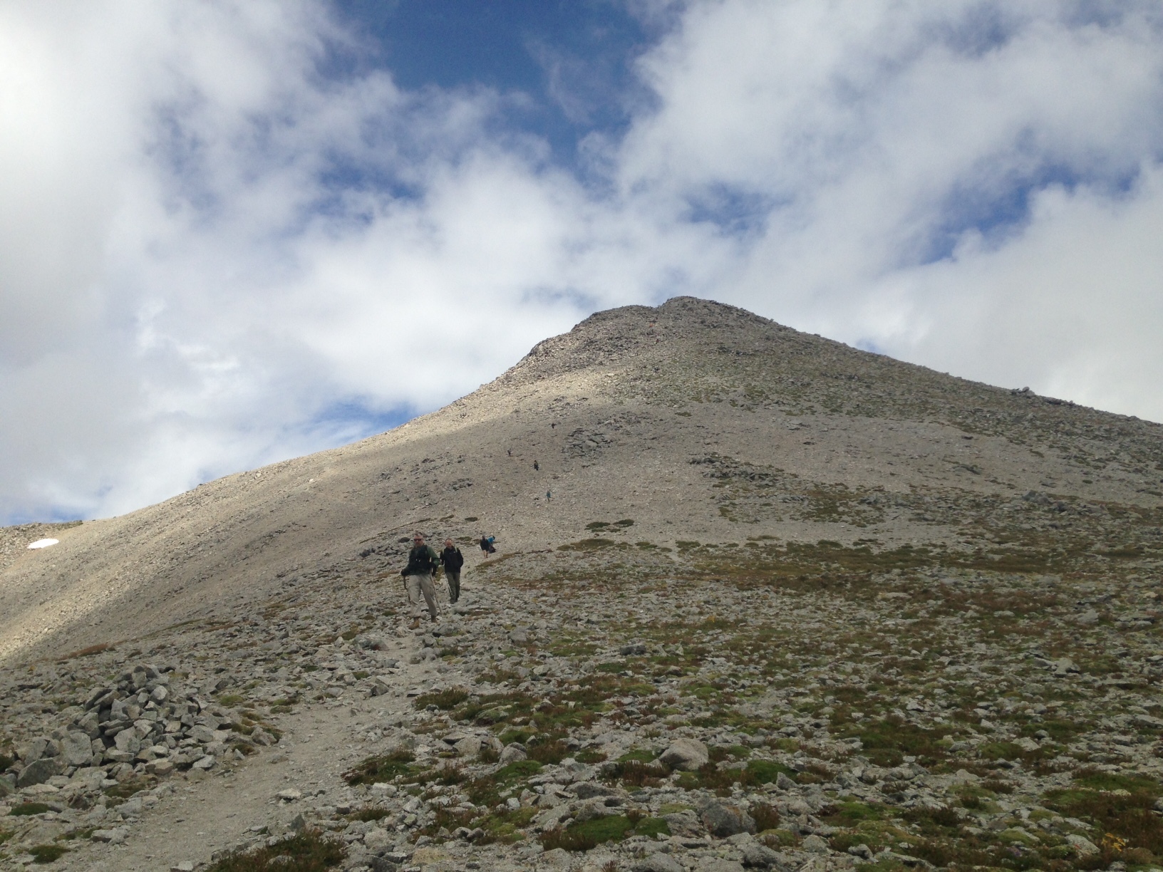
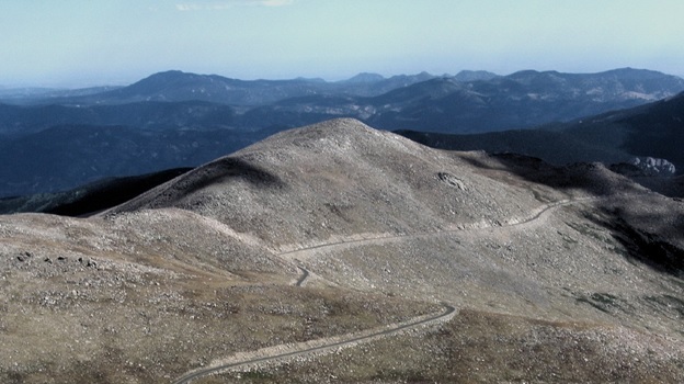
At this point about 12800ft it would be a steep climb to the summit 1600ft above me and, still in cloud. The photo shows the view to the top from the Col, it was taken on the way down after the activation.
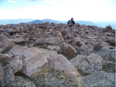
This last section was brutal; I was already being passed by people in light shorts and sneakers running this thing and on their homeward leg! I persevered and made it to the summit where I found Brad operating HF CW.
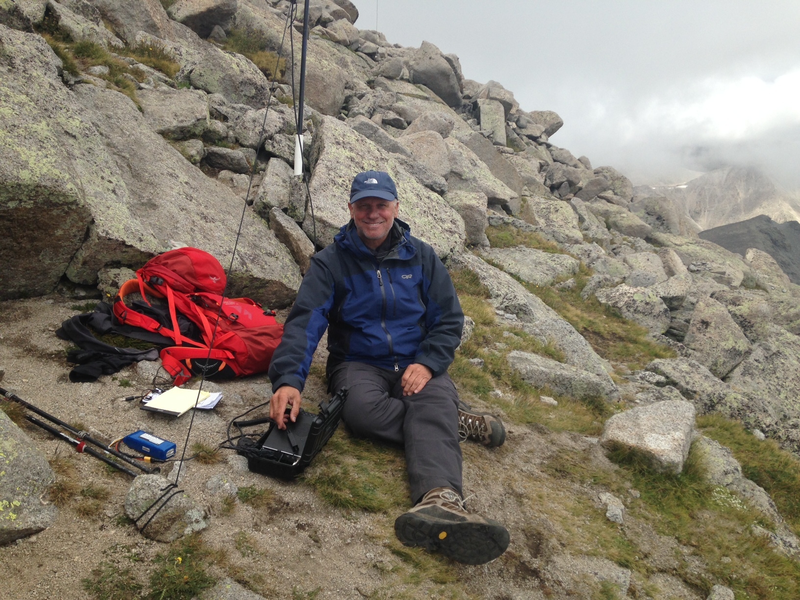
Brad had been there about an hour. I think he was surprised to see me. As I found out later this peak had been a bit tougher than he had expected and he wasn’t surprised I had dropped off to go at my own pace.
I quickly went to the 14’er 2m FM freq and made a couple of contacts. Brad completed his CW activation for SOTA and passed the FT817 over to me for SSB activation.

The chasers were out to make the day and I made many more QSOs than necessary to activate the peak including several summit to summit (S2S) calls.
Half an hour later we packed up for the long decent.

The walk down was almost as tough as the walk up.

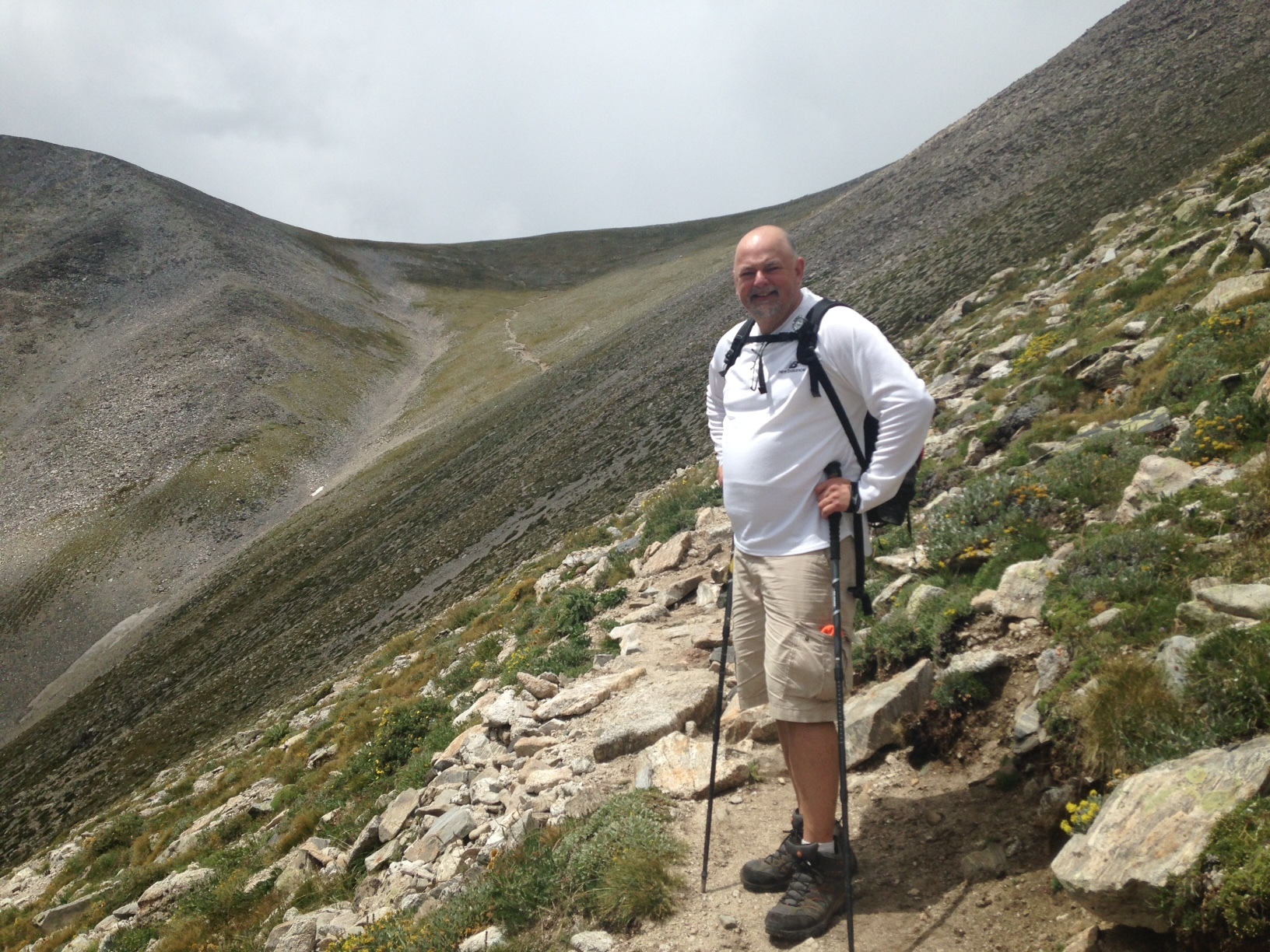
Thank goodness I had brought trekking poles with me. Brad and I made good progress down and reached the trail head after about 2:30hrs.
Back at camp I declared complete exhaustion! So, I went to my hammock and took a well-deserved 30min power nap. Refreshed we drove into Salida and visited the Boathouse again this time for a burger and well deserved beer or two.