Yesterday afternoon / evening I had my RAYNET hat on (not literally !!) providing radio cover on the checkpoint on Stiperstones summit for the 50 mile Long Mynd Hike.
During the afternoon Roger M6RYR came to do an activation on the same summit G-WB-003
At first he was operating one the plateau in front of the trig point, but later moved up to the trig point. I placed a spot for him.
Out of interest - where would I have needed to be to work him and claim chaser points ?
The trig on the OS map is 536 mts but most of the plateau is just above the 500mt contour - if I had walked outside this contour I guess this would have been outside the activation zone ?
On a normal walk it would have been easy to walk further away and descend but I couldn’t really move too far away from the check point.
If the activator was within the 515 mt contour then yes he’s in the activation zone, would a chaser on the 500 mt contour be ok to chase ? My take is it’s the summit height that defines the activation zone, not the activators position as long as he’s within that zone.
Yes. The summit height and then the 25m drop would define the activation zone. i.e. the activator could be at summit height -25m and you could be summit height -26m (possibly very close) and the chase would be valid.
Just searched for this hence awakening a zombie thread.
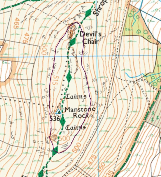
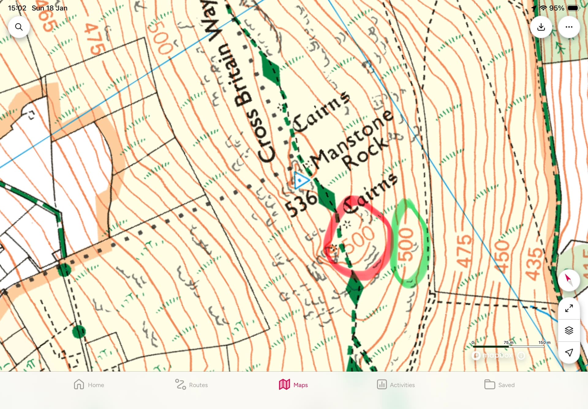
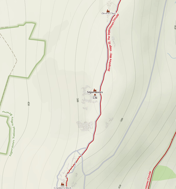
The higher 500m contour line on Stiperstones, G/WB-003 seems to be incorrectly labelled on OS 1:25k maps. It seems that this should actually be 520m. There is a second, correct, 500m contour line, four contours lower.
I have just reported the error to OS, but wanted to raise it here, incase it causes anyone else confusion. It gave me a few moments of confusion on Stiperstones this morning
It certainly does look like a bit of an error.
As the 500 is not inline with a specific contour perhaps it it supposed to read 525m for the highest point just to it’s left. In a similar way to the 500 indicated by Cranberry Rock, which appears correct. Will be interesting to hear what the update is from your query to OS.
Update: OS have accepted the error, and will update the label to 520m on the next revision.
See excerpt from OS response below.
====== start =======
Morning again Paul,
This is an update from Ordnance Survey regarding the contour error you reported to us.
Pleased to say we’ve logged the contour at OS grid ref SO 36775 98485 for correction to 520m Paul. The change will be made in line with our update policy and will be updated the next time that area is revised. Apologies as of sending of this email I do not have a date for said revision.
I hope that helps and thanks for reporting this to us.
It appears that the OS don’t put mistakes in maps but they do fingerprint maps by unique styling ( such as the width of roads). They obviously don’t want anything that would mislead customers but they do want to be able to identify illegal copying. In 2001 the AA had to pay the OS £20 million for infringement of Crown Copyright.
Great result Paul. OS confirming the error and that it is to be updated on next revision.
It still looks to me like it should be 525m for the main contour to the left.
Will be interesting to see the final update.