I’ll keep it short and let the photos do the talking.
Ascent of the Pony Path (northern route). Nice steady plod, enjoying the weather and taking just under two hours - no records broken, but I was out to enjoy the walk.
I first set up near the trig point to do 2m FM, with the FT-270 handheld and Slim G on the Carbon6 pole. 8 contacts, including 2 S2S, with the best out to G3TQQ on G/TW-002, a distance of over 260km. I think there was a bit of a lift on.
I collapsed the pole and moved slightly lower and into a more sheltered spot for a bit of lunch before setting up for HF using the KX2 and EFHW on the same Carbon6 pole.
No more S2S, but some nice contacts on 40m/20m SSB (17 and 23 QSOs respectively).
Then it was time to descend to get home in time for an hours talk in the local church on the Tudors.
Lovely day.
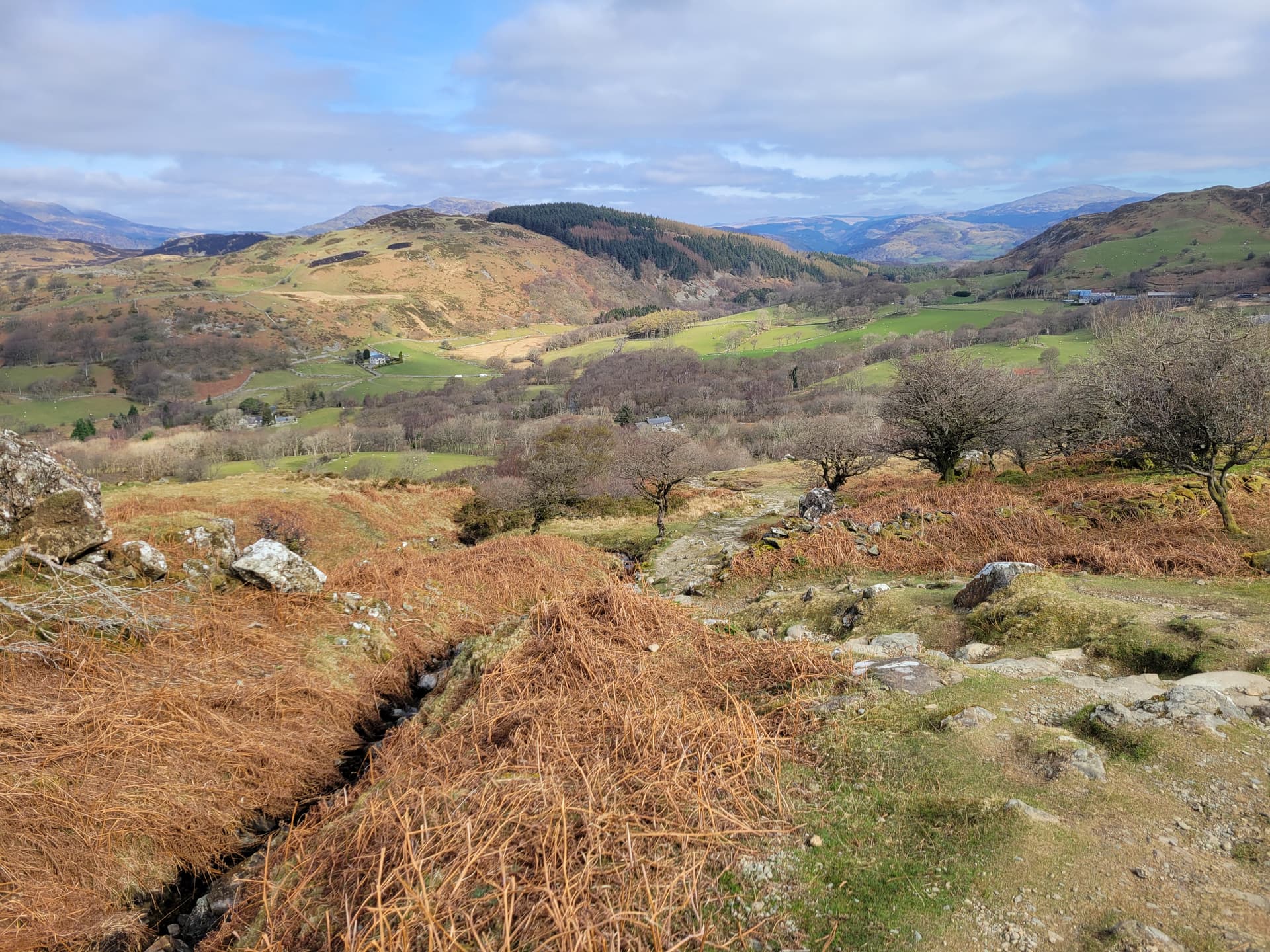
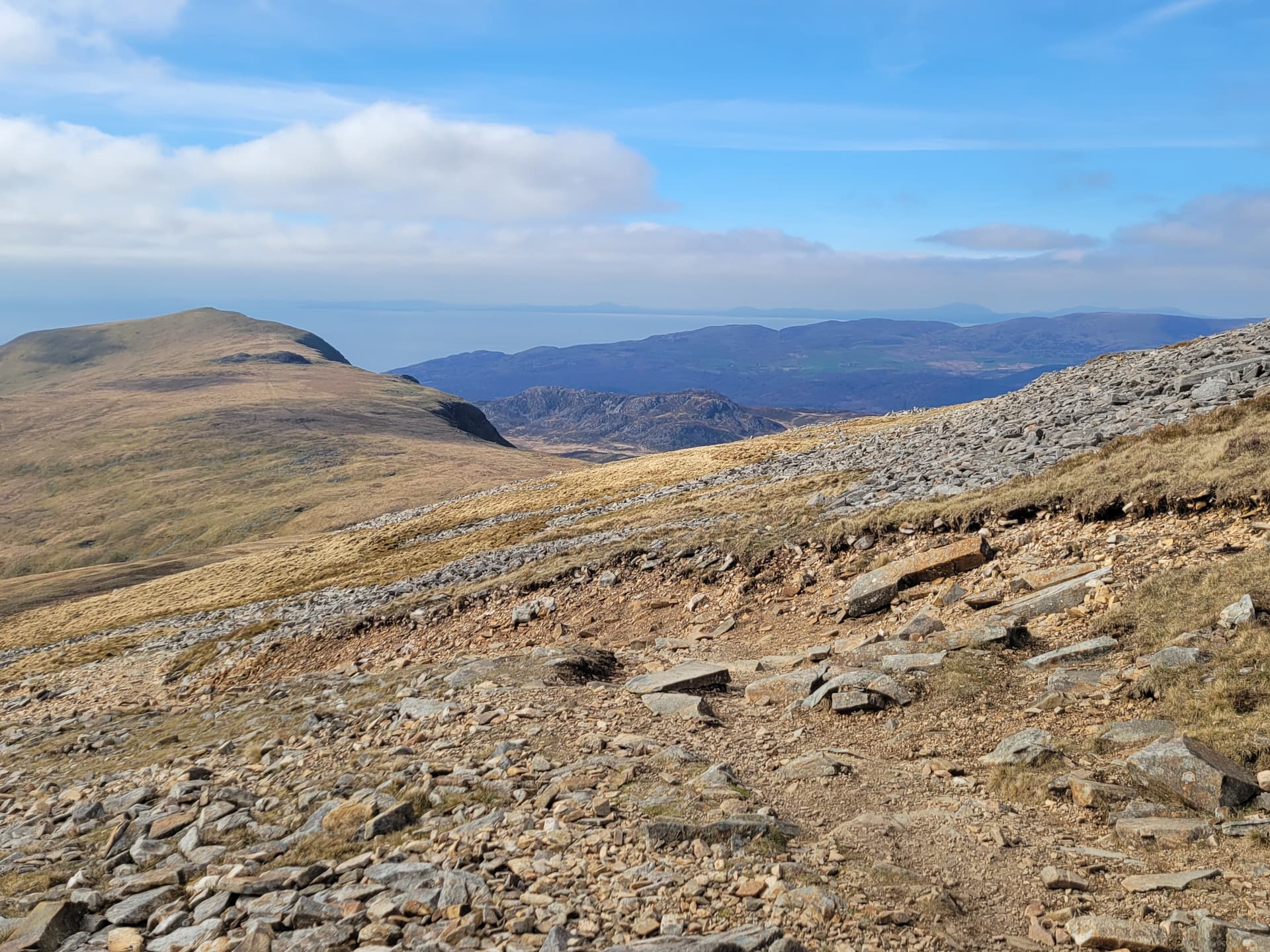
Lower section of the Pony Path.
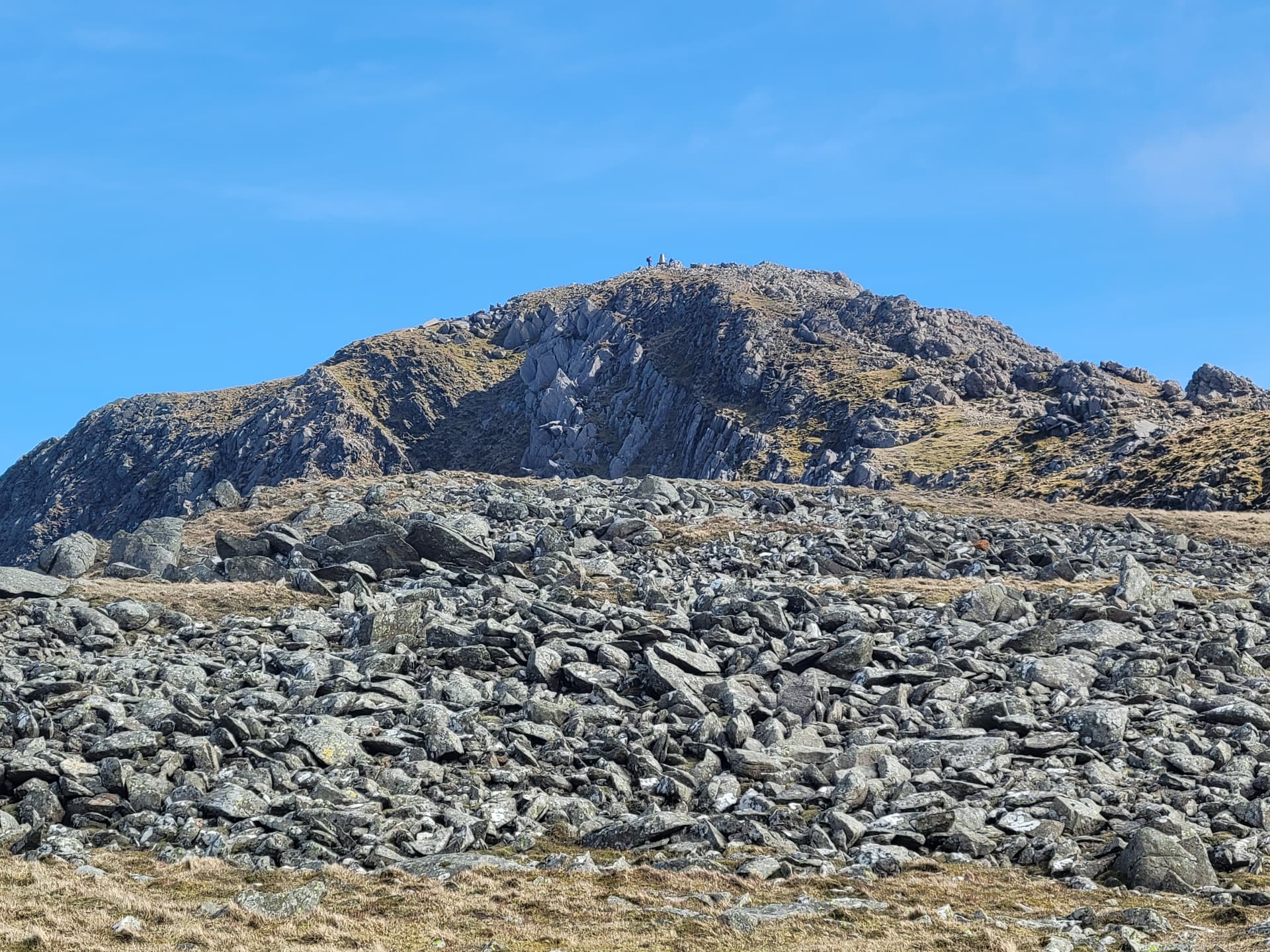
Summit area and Trig point, about 15 mins to the top.

Llyn y Gadair, looking north.
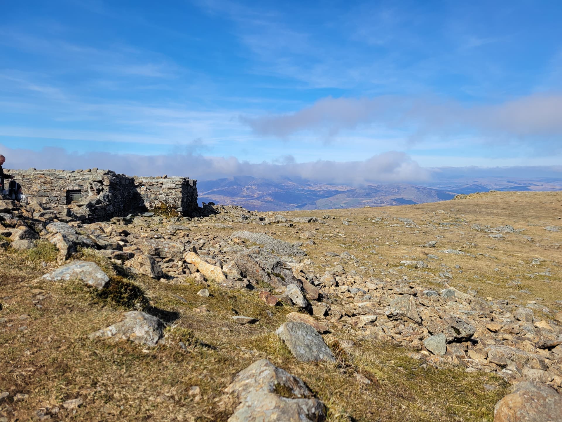
Summit shelter, view north.
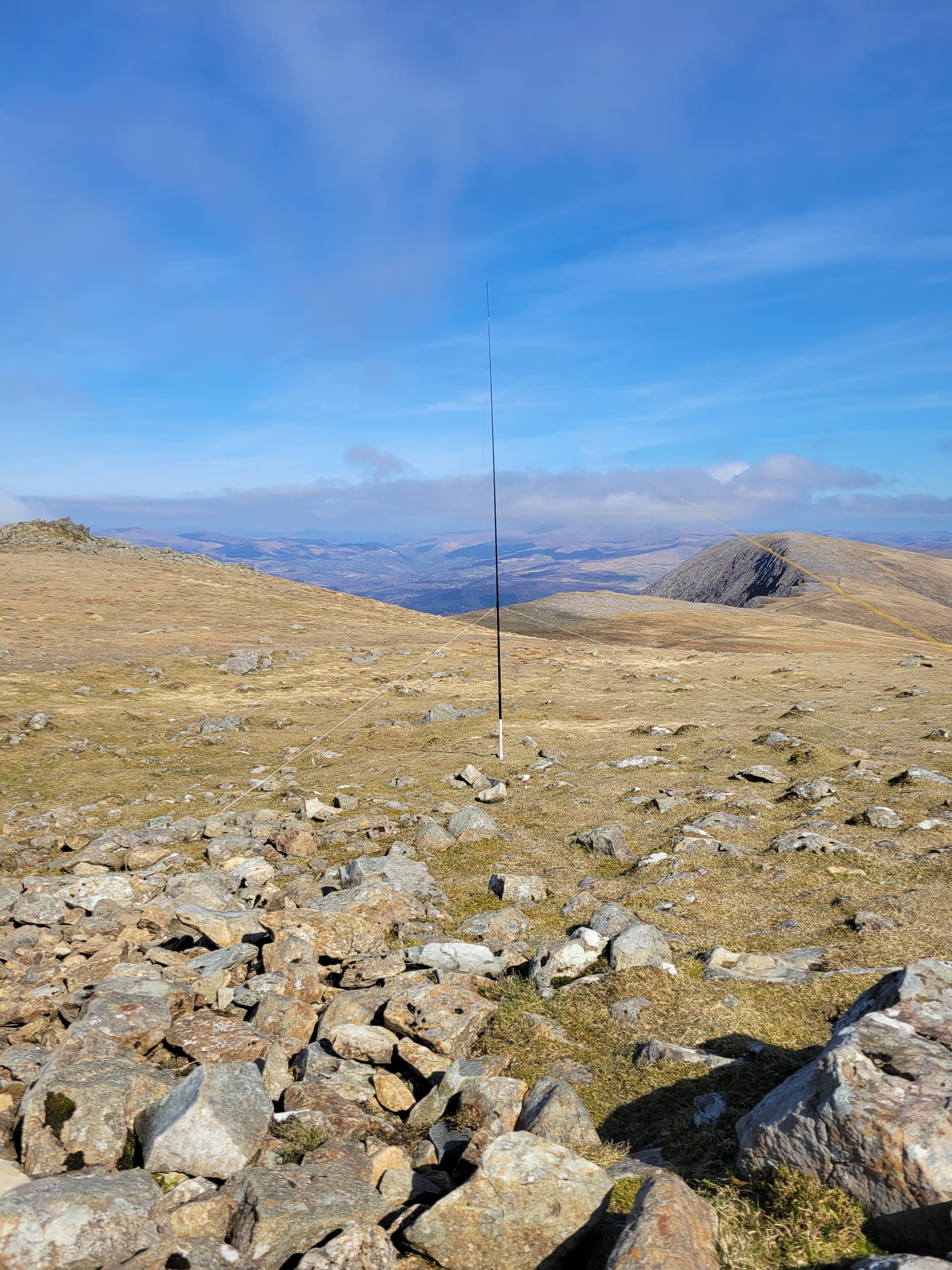
Antenna setup, looking east.
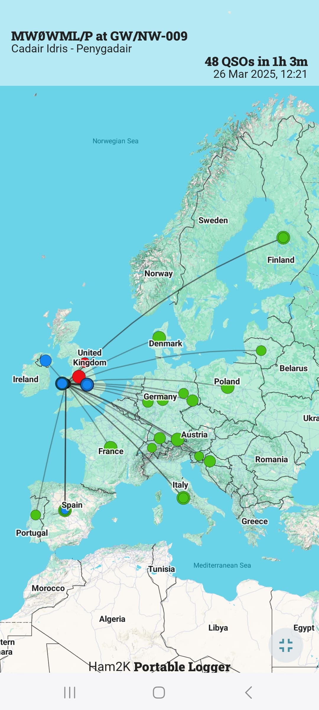
Map of some of the contacts (where valid entries exist in QRZ.com).
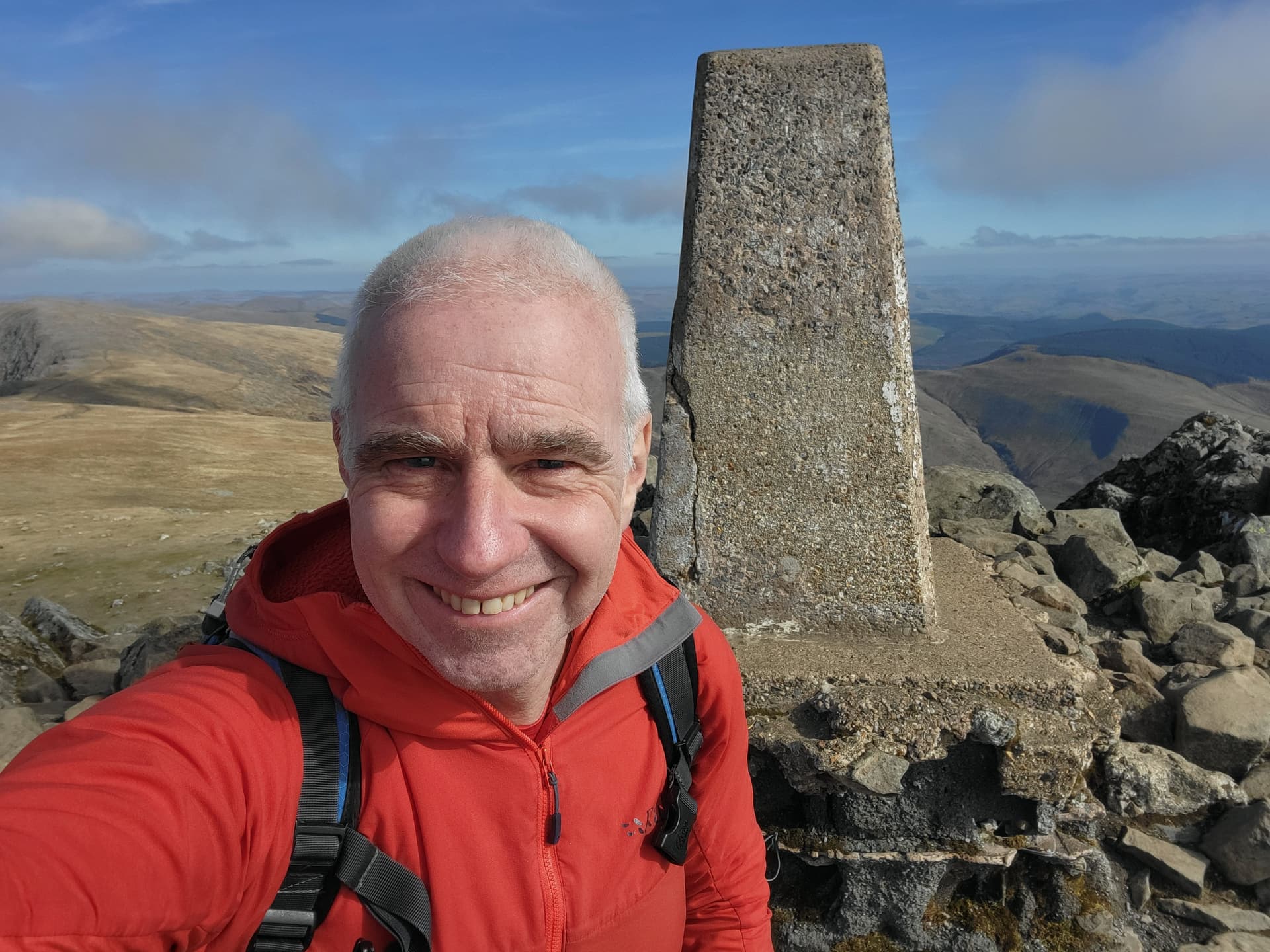
Summit trig, looking south.
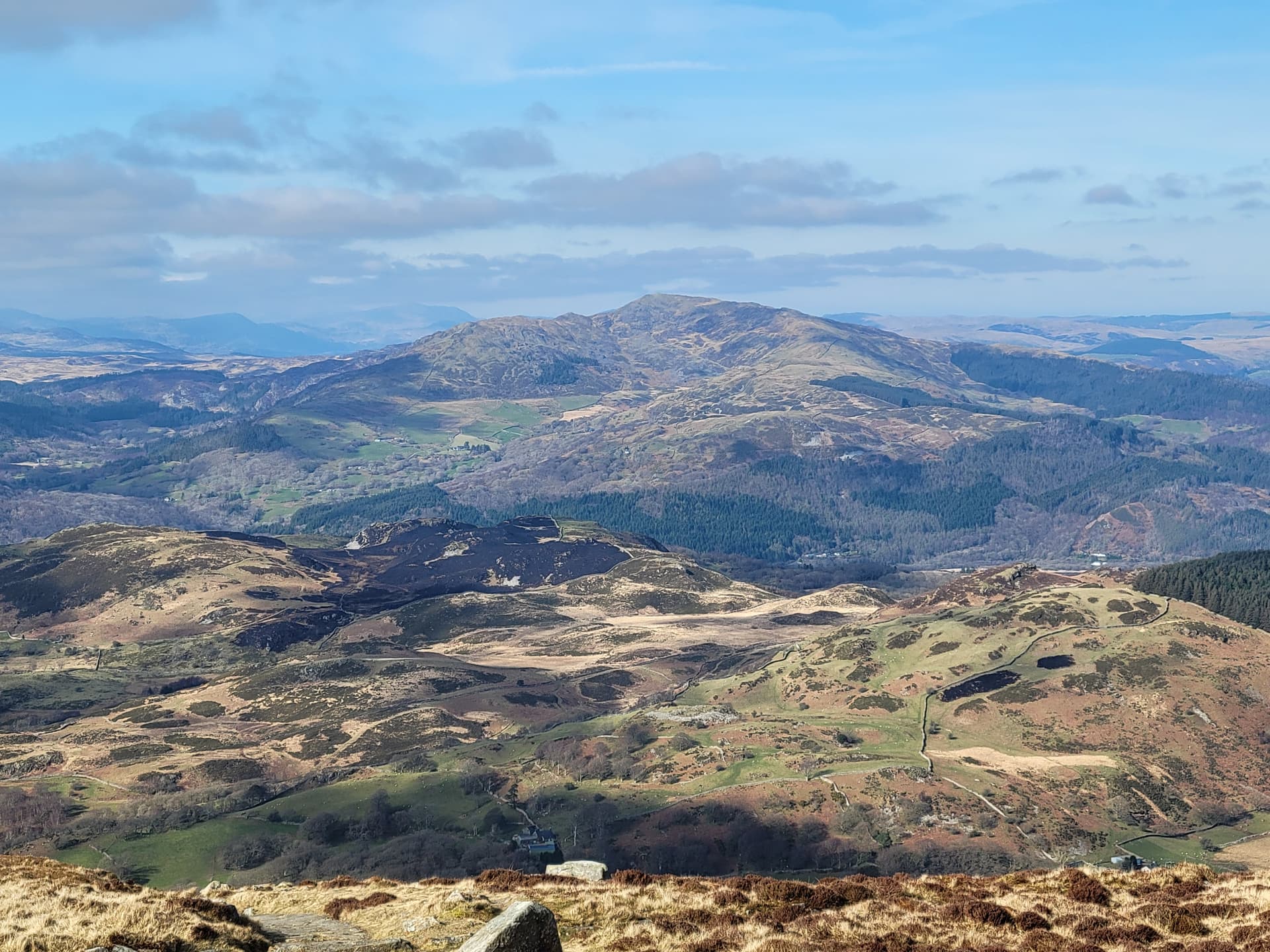
On the descent, looking west to Barmouth and the distant Lleyn Peninsula.
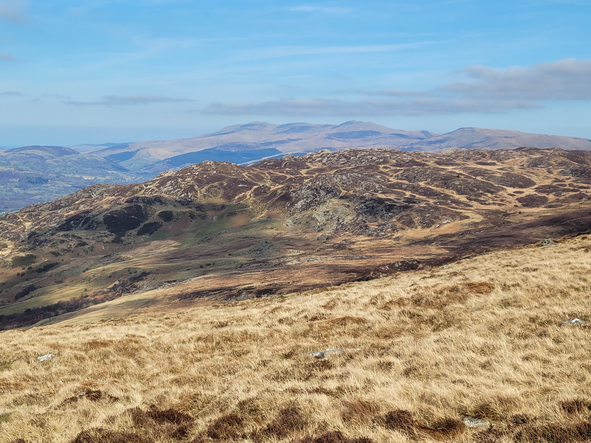
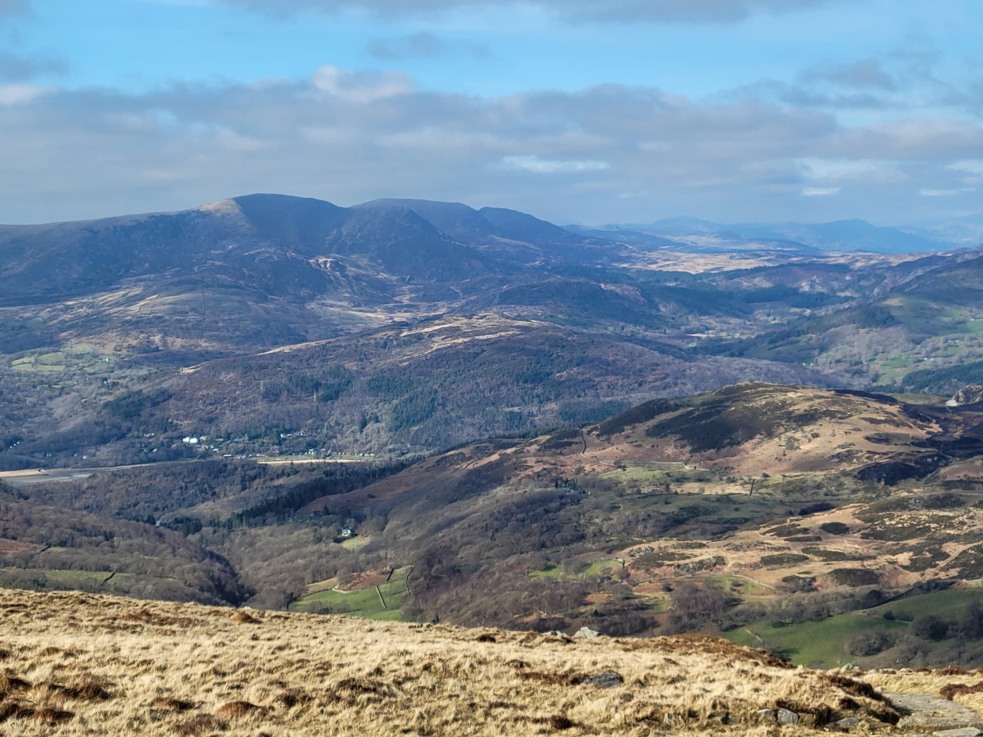
Looking ENE to Glasgwm GW/NW-015 and Aran Fawddwy GW/NW-007.
Looking NE to Robell Fawr GW/NW-021.
Looking N to the Rhinogydd, including GW/NW-037 GW/NW-017 GW/NW-078 and GW/NW-023.
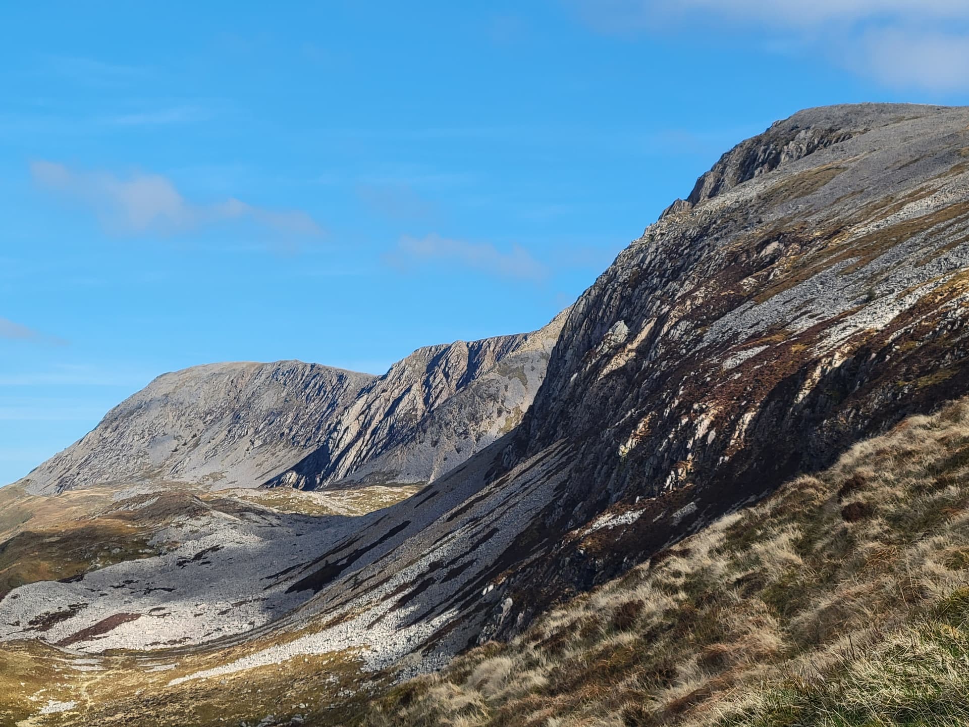
Looking east at the cliffs on Cadair Idris.