Agreed Ed. I have never used SMP for looking at spots or alerts.
SMP = Detailed planning at home on the laptop, prior to outings.
sotl.as = spotting/alerting on the go using my phone, and very superficial planning in the field.
Agreed Ed. I have never used SMP for looking at spots or alerts.
SMP = Detailed planning at home on the laptop, prior to outings.
sotl.as = spotting/alerting on the go using my phone, and very superficial planning in the field.
I am a fan of SOTL.AS, not used SMP for months. Much faster, mobile compatible and more stable IMO. Yes, its limited in terms of maps but I can open other map sources like OSGB or Google earth as I need.
The only slight annoyance with the map is that you have to zoom in quite far before the paths start to appear. Other than that I love it, amazing work by Manuel!
73 Gavin
GM0GAV
Thanks! ![]() Yes, the fact that you need to zoom in quite far to see the paths bothers me too. Unfortunately the OpenMapTiles vector tiles only include footpaths from zoom level 14 and up, and do not have the useful
Yes, the fact that you need to zoom in quite far to see the paths bothers me too. Unfortunately the OpenMapTiles vector tiles only include footpaths from zoom level 14 and up, and do not have the useful sac_scale hiking difficulty tag from OSM. I’ll look into what’s needed to re-generate the tiles with different specifications to make a more useful map for SOTA purposes, as time permits.
My reply could be an exact duplicate of GM0GAV’s. I really like the UX of Sotl.as and use it almost exclusively now for research because of the filtering and zoneless map. I’ve recently started using it for watching spots for chasing from the QTH.
SMP’s Range tools are incredibly valuable to me when planning activations. I use the Closed Circle option most often, but the Road Route is amazing when I’m heading out on a road trip and want to find summits along the way. Being able to sort the results by number of activations provides a simple way of finding the most popular summits. I don’t know if Sotl.as has a similar function but SMP’s Range tools are so great I don’t feel a need to look elsewhere anyway. I also like the Tracks in SMP,.
That’s not to say I don’t think Sotl.as is pretty cool as well. I just noticed the filter to identify Complete candidates, that’s pretty nice!
I’d be quite happy to have them both as options, and my hat’s off to both developers of these fine resources.
73,
Keith KR7RK
I use both and I like both. What I would miss most if Sotamaps went down is the Export function. I Always use that to get the Summits into my Garmin GPS via a .GPX file!
It would be a bummer to see that option go down the drain…….
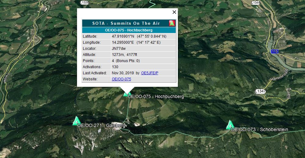
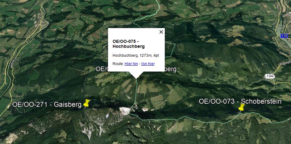
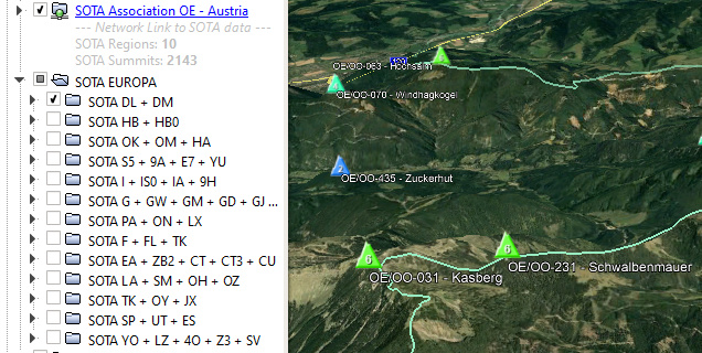
same here … and i also like the export function “KML Network Link” to display the summits in google earth:
and the wide range of different maps to choose from is another thing i like a lot about SMP. but i also use sotl.as very often … so i think that both SMP and SOTL.AS should remain.
73 martin, oe5reo
I like both (because I can have my cake and eat it  )
)
SMP - love the range page including the ability to look for potential summits along a road trip) and the choice of other mapping formats for research.
SOTLAS - love the filters and stats and the easier cross-association view.
Apparently the issue with paths only showing from zoom level 14 is known: Show track/path sooner · Issue #271 · openmaptiles/openmaptiles · GitHub
It is easy to change the underlying code that fetches the raw OSM data and generates the vector tiles, but regenerating the tiles needs a lot of CPU resources and/or takes a long time.
As I’m stuck at home and not on the summits this weekend due to a bad cold, I regenerated the tiles for HB, DL, OE and G/GM/GW as an experiment (paths/tracks from zoom level 12, and sac_scale added). This took about 30 hours on an 8 Core/32 GB/SSD VM.
If you want to have a look, go to SOTLAS, switch the map server to “Test” and look at the aforementioned countries. Please let me know if this new map detail/style better suits your needs. EA and F will be added later when the tile generation finishes.
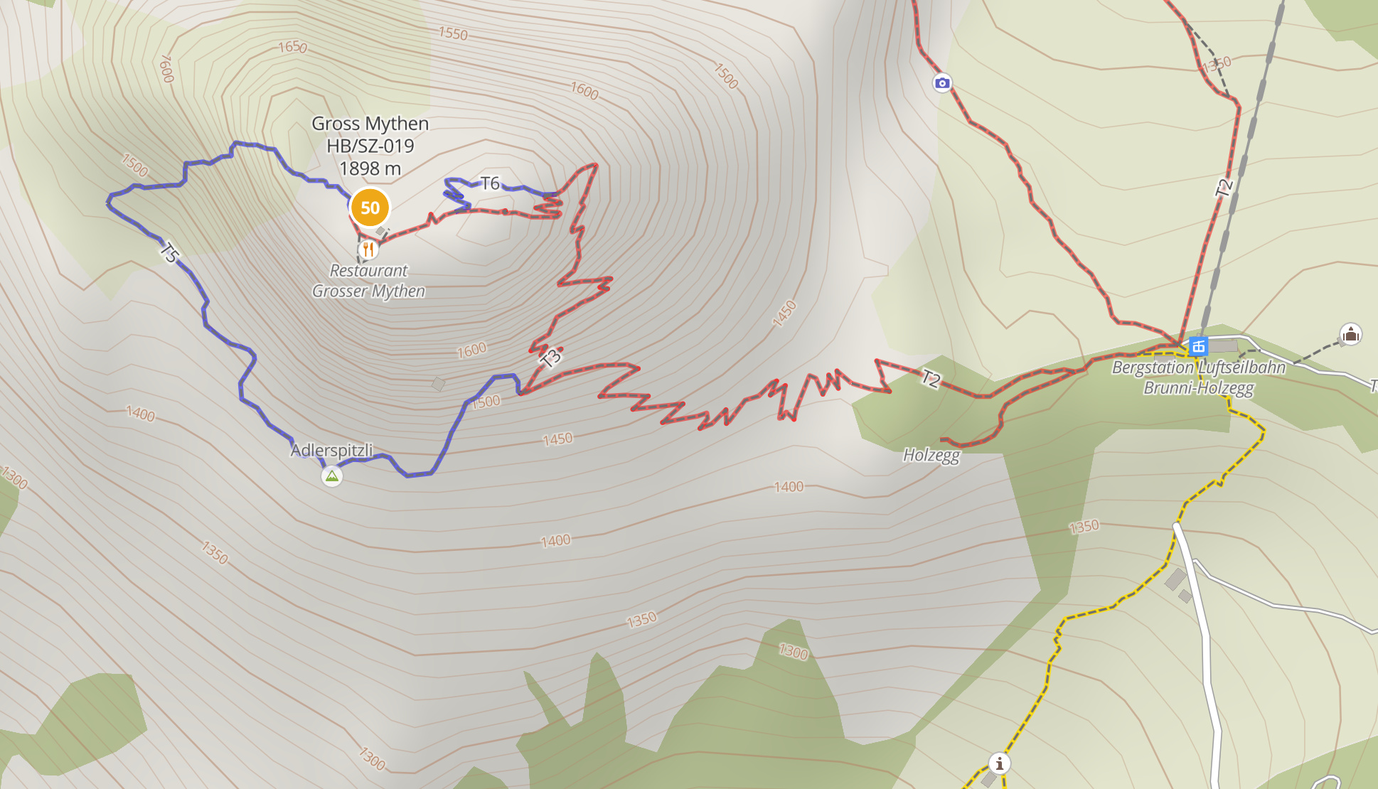
Sample:
The colors here reflect the Swiss standard of marking T1 (hiking, easy) paths in yellow, T2-T3 (mountain hiking, intermediate) in red and T4-T6 (alpine hiking, difficult) in blue. If this map style is what people desire, then it can be done for a selection of countries where there is enough interest – perhaps with an option to turn off the colors. Regenerating the tiles for the whole planet would probably need a lot of resources.
There is a download button on the associations and regions pages on SOTLAS where you can download (or copy a live link to) a KML or GPX file.
Hi Manuel
The test map and the colors for T1-6 are great!
Get well soon
73 Sabrina
Yep, I really like the Test Map! Excellent, thanks for that.
GPX:
Manuel even added the possibility to include Name, Altitude an SOTA Points into the GPX Name of each Summit!
Thanks again for your efforts to the SOTL.AS Project, really appreciated
Get well soon, miss the S2S’s with you 
There are still so many features in SMP - especially for planning and routing that is hard to replace and I I don’t think Sota atlas has functionality yet. The tracking import and upload functions I highly rely on with SMP.
Ariel NY4G
hi manuel,
i’m aware that sotl.as has an download option but I like the one provided by SMP much more … because:
SMP:
SOTL.AS
73 martin, oe5reo
Should also happen when you copy the KML link from SOTLAS and “Add → Network Link” in Google Earth.
Fair enough ![]() I just didn’t like my KML to be bloated with HTML.
I just didn’t like my KML to be bloated with HTML.
Luckily everyone gets to choose what they prefer ![]()
Hi Manuel,
I like it a lot. The colour coding is definitly helpful. And the trails being visible at a further zoom level definitly helps to get an better overview on my phone.
I hope you can join the SOTA dinner this year in Friedrichshafen for a free beer (or more hi )
73 Joe
Hi Manuel,
I didn’t know about the download option in Sota Atlas. Thanks for pointing it out!
Haven’t tried to import them into my Garmin, but I’m sure it works.
Will do at a later point when time permits!
Thanks again!!!
73
Mark
PC9DB
Hi.
Sorry but i don’t want to choose between SMP or SOTLAS.
I use the both. I only would like to keep them … 
73
Agreed. I find it disturbing that sotl.as doesn’t work in my fairly up-to-date version of Safari. What is this, 1990?
Hello.
Same here. Both are very useful together.
73 Marcel DM3FAM
So how “up-to-date” is your copy of Safari? Can you give version of Safari, which version OSX or iPad/iPhone iOS?
Have you tried the usual tricks of clearing cache etc?
Finally, you need to contact Manuel HB9DQM, as you can’t use SOTL.as, you can PM him on here.