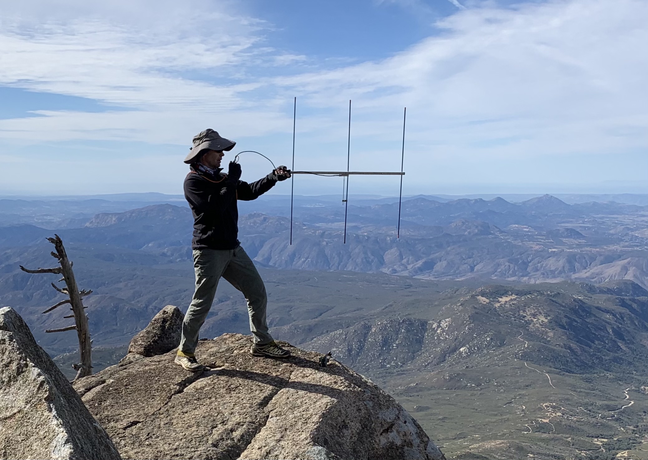
Cuyamaca Peak (W6/CC-014) is a 6,512’ (1,985m) summit, that is the 2nd highest peak in San Diego County. This is a paved 5.6mi hike with 1637’ of elevation gain starting at the Pio Picacho campground ($10 parking) in the Cuyamaca Rancho State Park. It has flush toilets, and cedar shaded camp sites. We encountered patches of ice and snow covering the road, saw one hiker with crampons. Made 14 QSO’s (contacts) on 2m (146.52, 144.46, 146.52) and 11 QSO’s on 40m (7.2MHz) and 1 on 10m (28.495MHz). We did have QRM on 146.52 and QSY’ed to other common simplex frequencies to avoid the perpetrator. Maidenhead grid square: DM12qw.
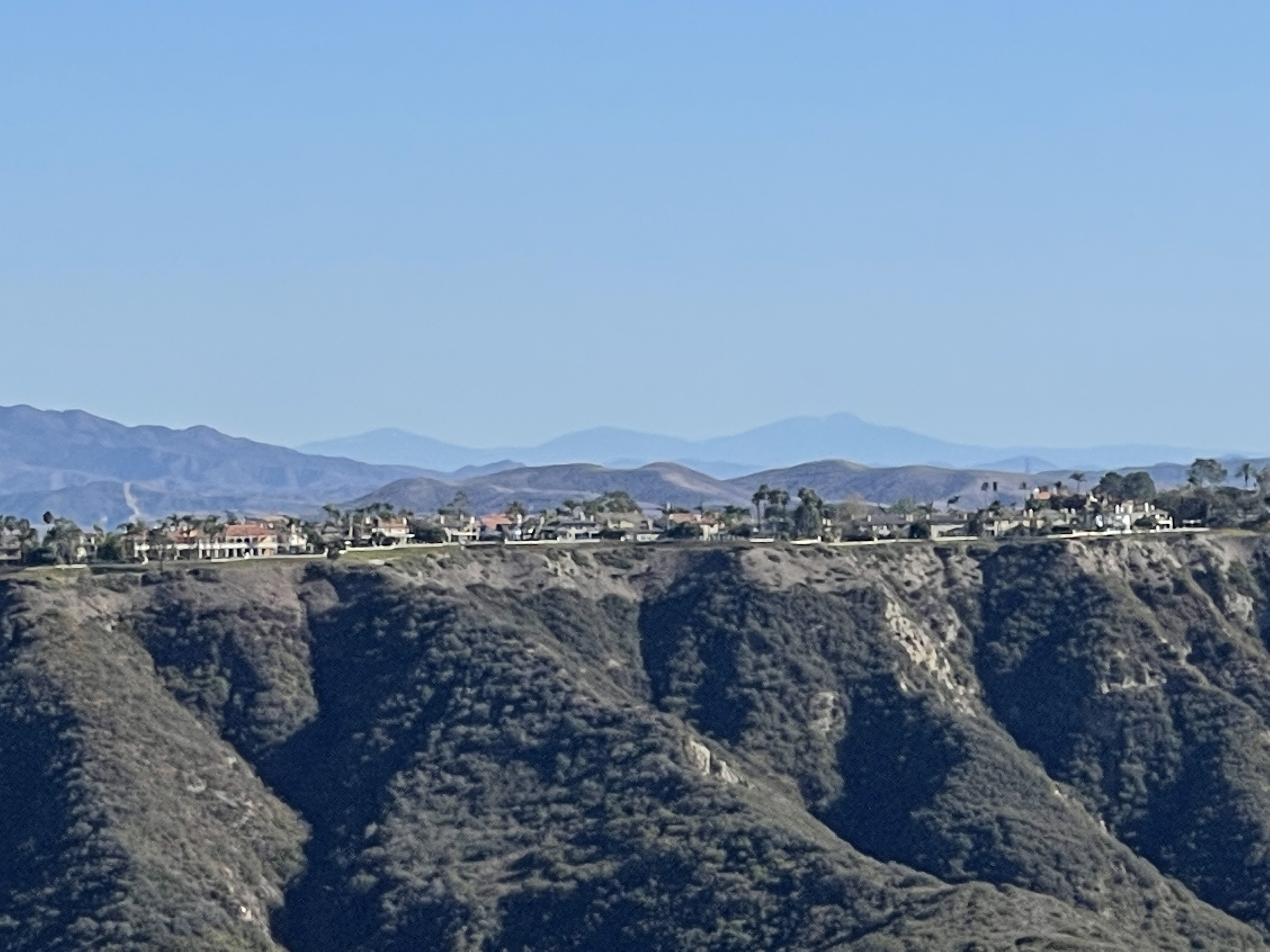
First time we visited the peak was closed so we did middle peak that was one heck of a bushwhack. Next two times I called they were closed first time for using heavy machinery and second time for planting trees. I did see they had sprayed something green along the side of the road not sure if that’s to grow grass or kill the plants maybe that’s the toxic stuff.We were able to see Southwest to the Coronados Islands in Mexico and Northwest to what look like Catalina Island.