Beinn a’Mhonicag GM/CS-101
Heading for the Island of Mull and the Mull Rally, I decided to take in a quick SOTA en-route. I don’t think I’ve ever been up Glen Roy and I’ve certainly never viewed the parallel roads, so it was going to be worth it for that alone.
Geography
In a nutshell, during an ice age, upper Glen Roy was full of water, a lake held back by a dam of ice. Wave action and erosion formed a shore line along the hill sides. As the temperature rose, the ice dam shrunk and a new lower shore line was formed…. Etc. Etc. Eventually, temperatures rose so much that the ice dam collapsed and a huge flood left the valley we see today. The shore lines remain high on the hillsides.
As a youth looking at maps, I saw these parallel roads which weren’t joined to any others, but didn’t really understand. The Ordnance Survey depicted them as Land Rover tracks, which didn’t help.
So, back to the mission. We left home at 0945, had a second breakfast in Aviemore at 1100 and eventually appeared at Roy Bridge at 1300. “Road Closed Ahead after Bridge”, read the sign at the Glen Roy junction. We drove up anyway, ever hopeful.
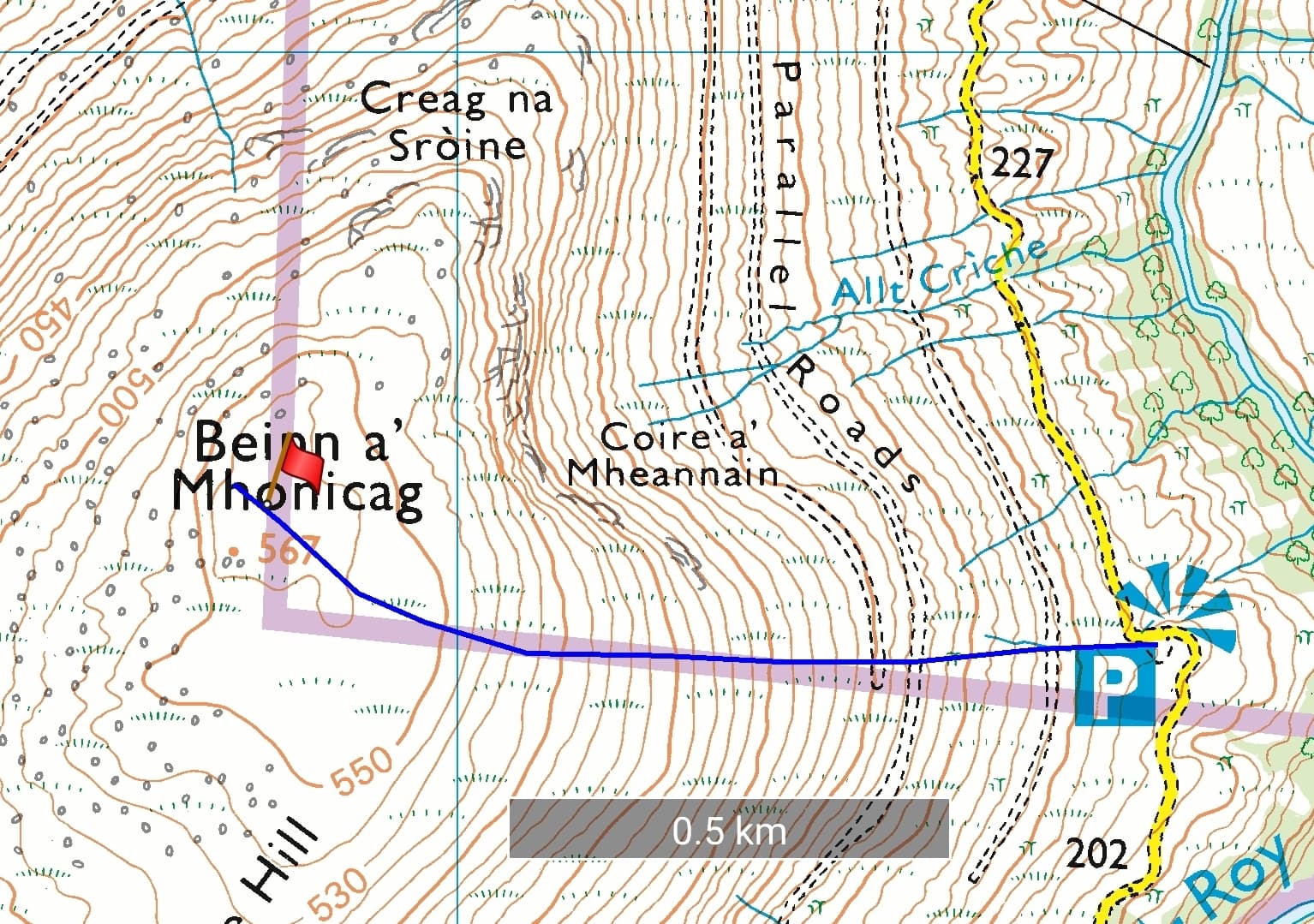
An interesting drive on a single track road led us to the viewpoint car park, which also happened to be the start of the hike. The Road Closed sign was immediately after the car park. Mo took one look at the hill and said No!
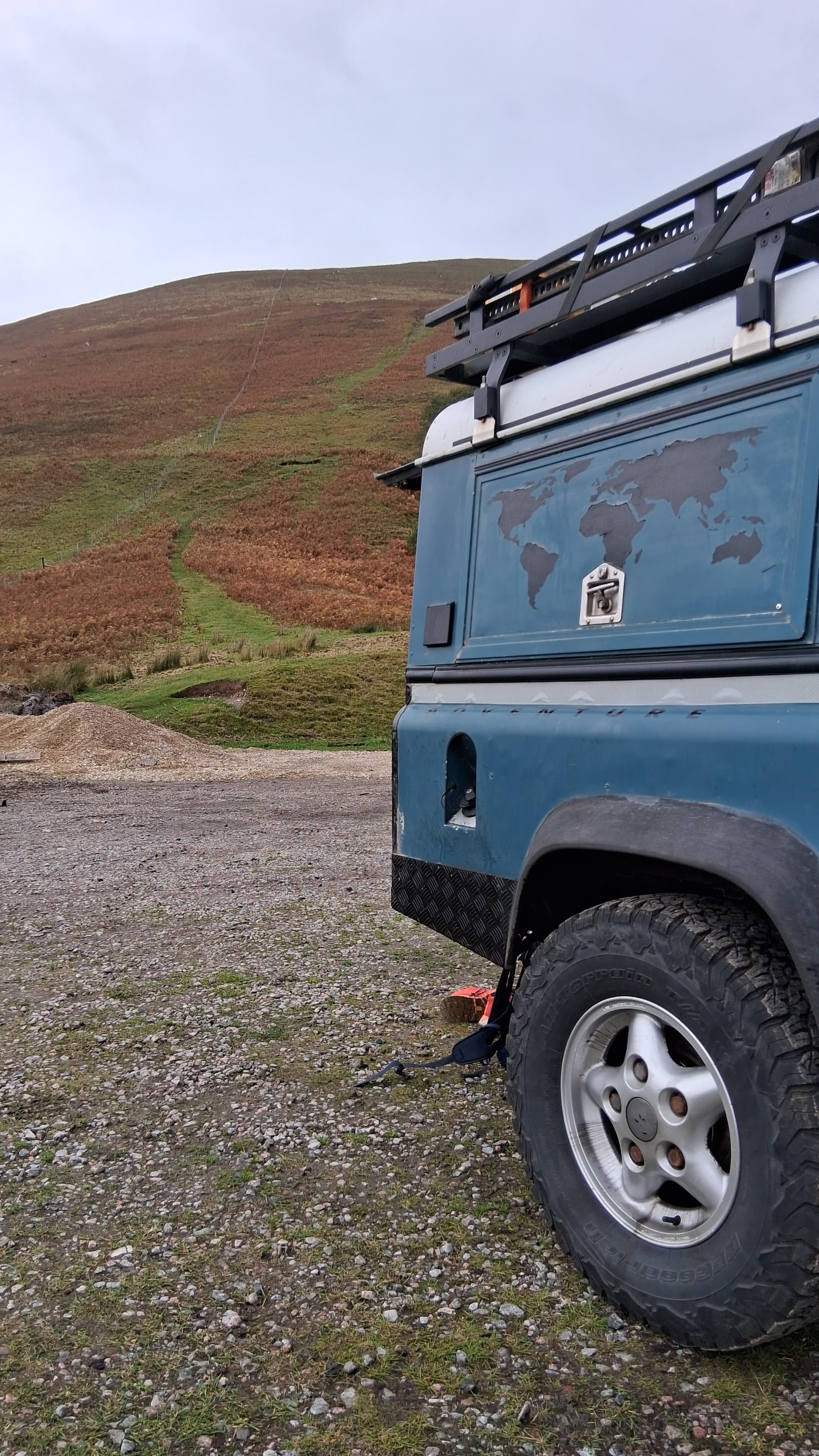
the climb ahead
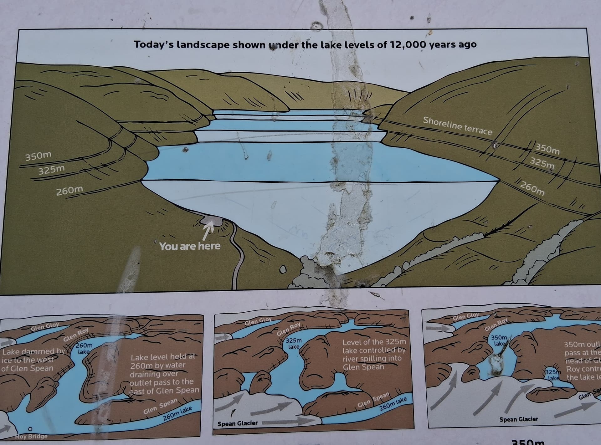
car park information board
Geometry
I changed shoes, selected some radio gear from the array in the back of the Landie and set off up the grassy break in the heather.
1km at a 35% gradient is what I worked it out to be. Not too steep that I needed to pause for breath and no heather bashing. Short grass and narrow path most of the way. A great calf stretcher.
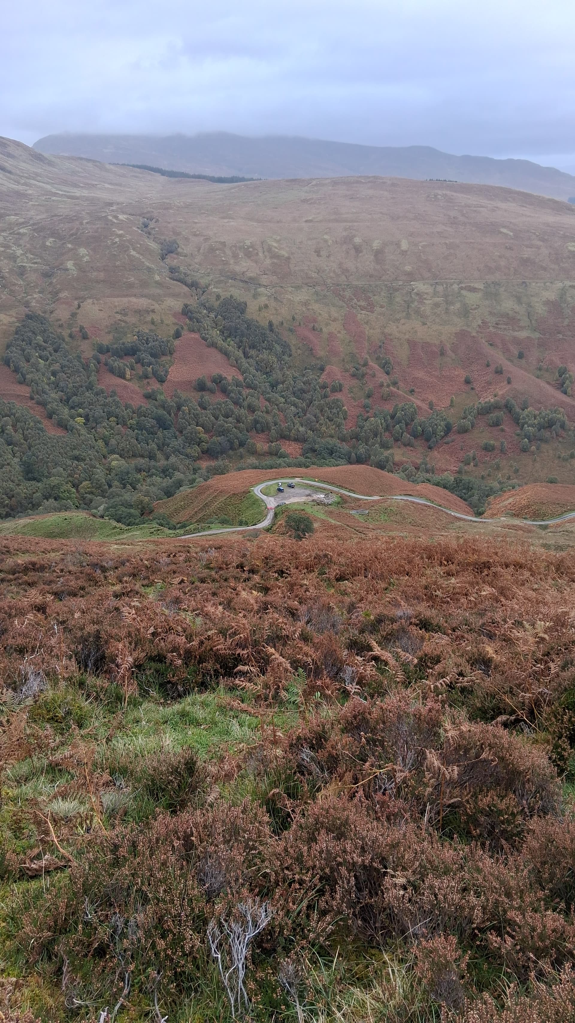
looking down to Glen Roy
All of a sudden I saw a cairn ahead. No false summits here. The real top was 150m to the west, so off I went. I should mention at this point that it was quite a breezy day - something I’d forgotten in the shelter of the east side of the hill. Well, the summit was on the west side of the hill and the wind was blasting up the slope and over the summit. 50mph/80kph. I did think of retreating, but the summit cairn looked perfect for rigging my Carbon 6, so I decided to stick with it.

Beinn a’Mhonicag GM/CS-101
I ran my EFHW as a long sloper, with the apex at 3m above the cairn. Stones held the feedpoint and the end respectively. I felt quite pleased with it.
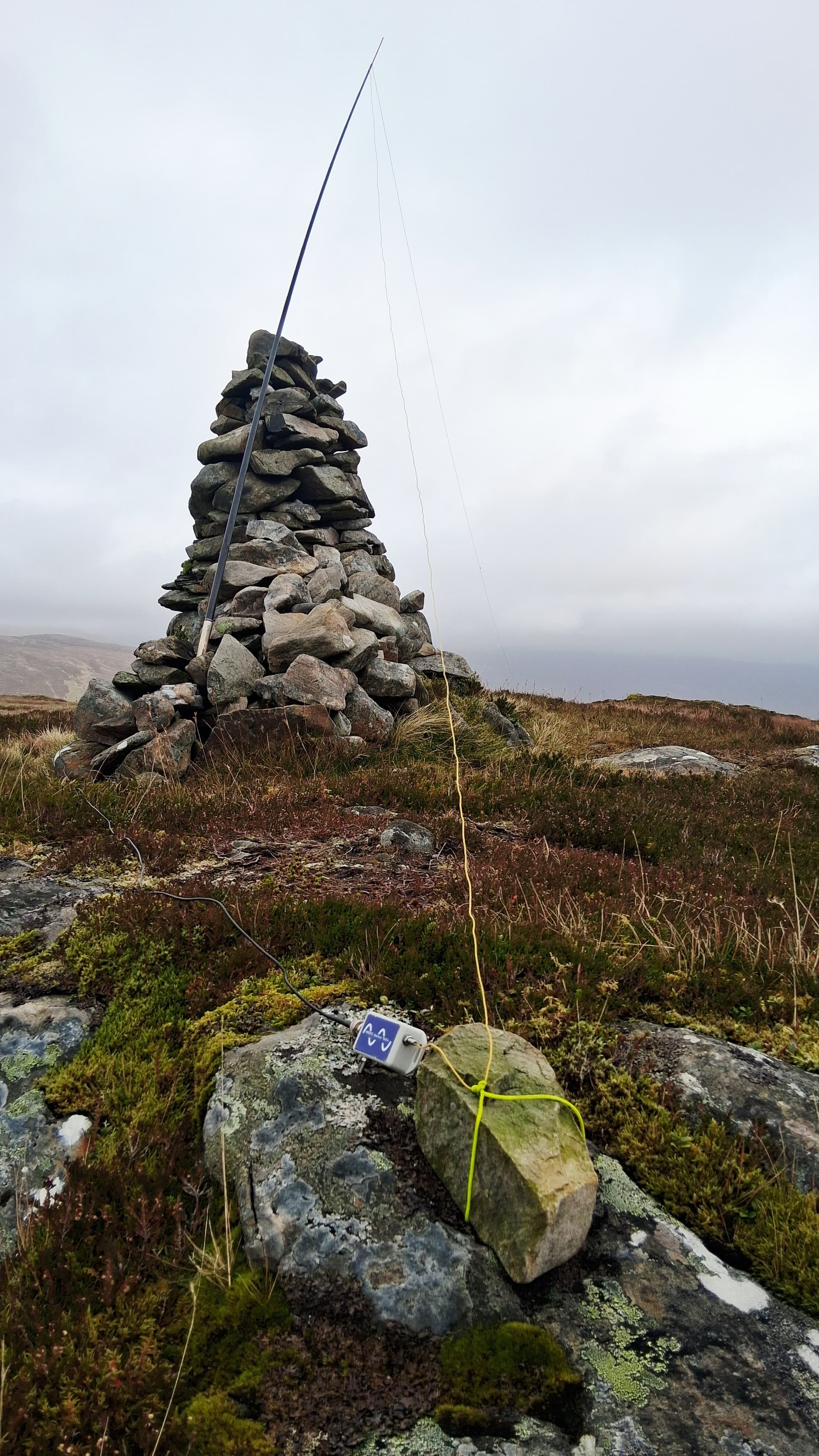
40m SSB was noisy but I added a few well known calls to my log. 20m wasn’t so good, with just the one after several calls. The cairn was providing a little shelter but not enough. The top section of mast telescoped. I quickly put on a spot for 2m, hoping that HF callers would see it and go chase someone else. Only then did I rake around in my bag for the ft-60 and rh-770 combo.
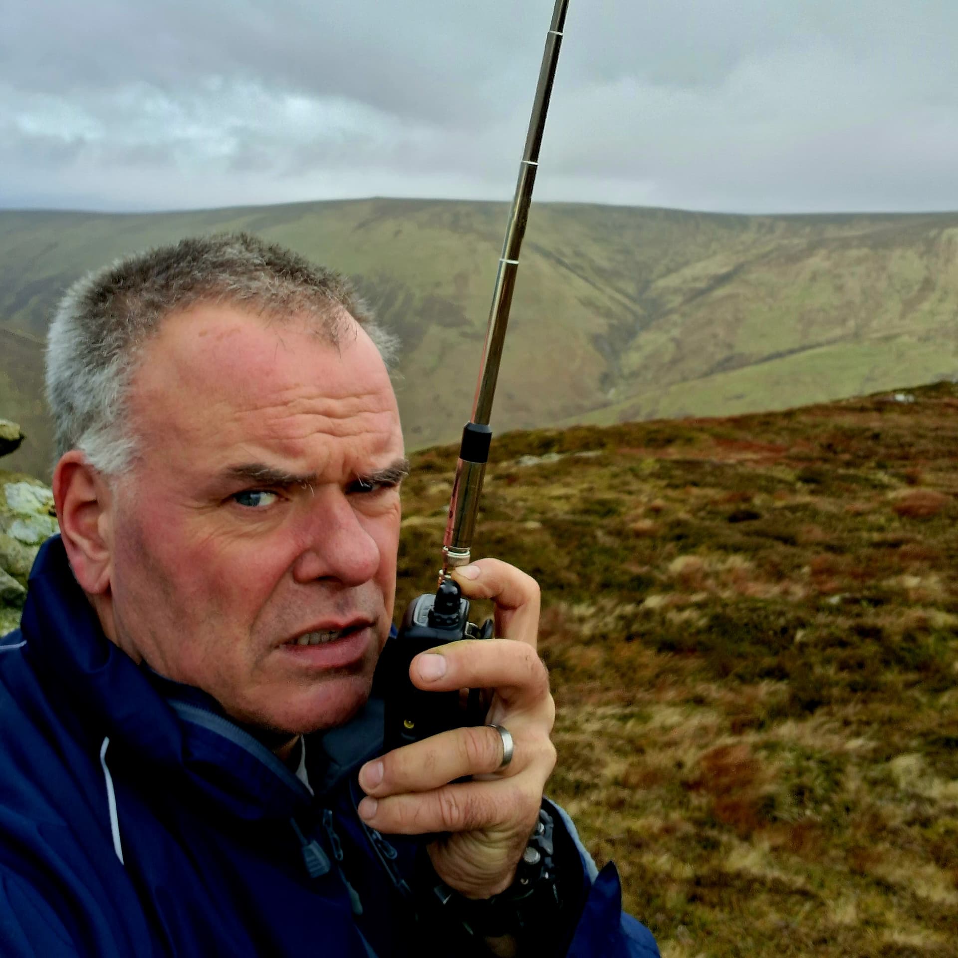
on 2m FM
As it happened, my only contact was with Gordon @GM4OAS over an improbable path. He wasn’t even monitoring SOTA spots at the time. Thanks Gordon!
Five minutes later I gave up. When I went to drop the pole, I found it incredibly difficult due to the wind bending the pole sections. There was a blast of wind up and over the hill and this happened.
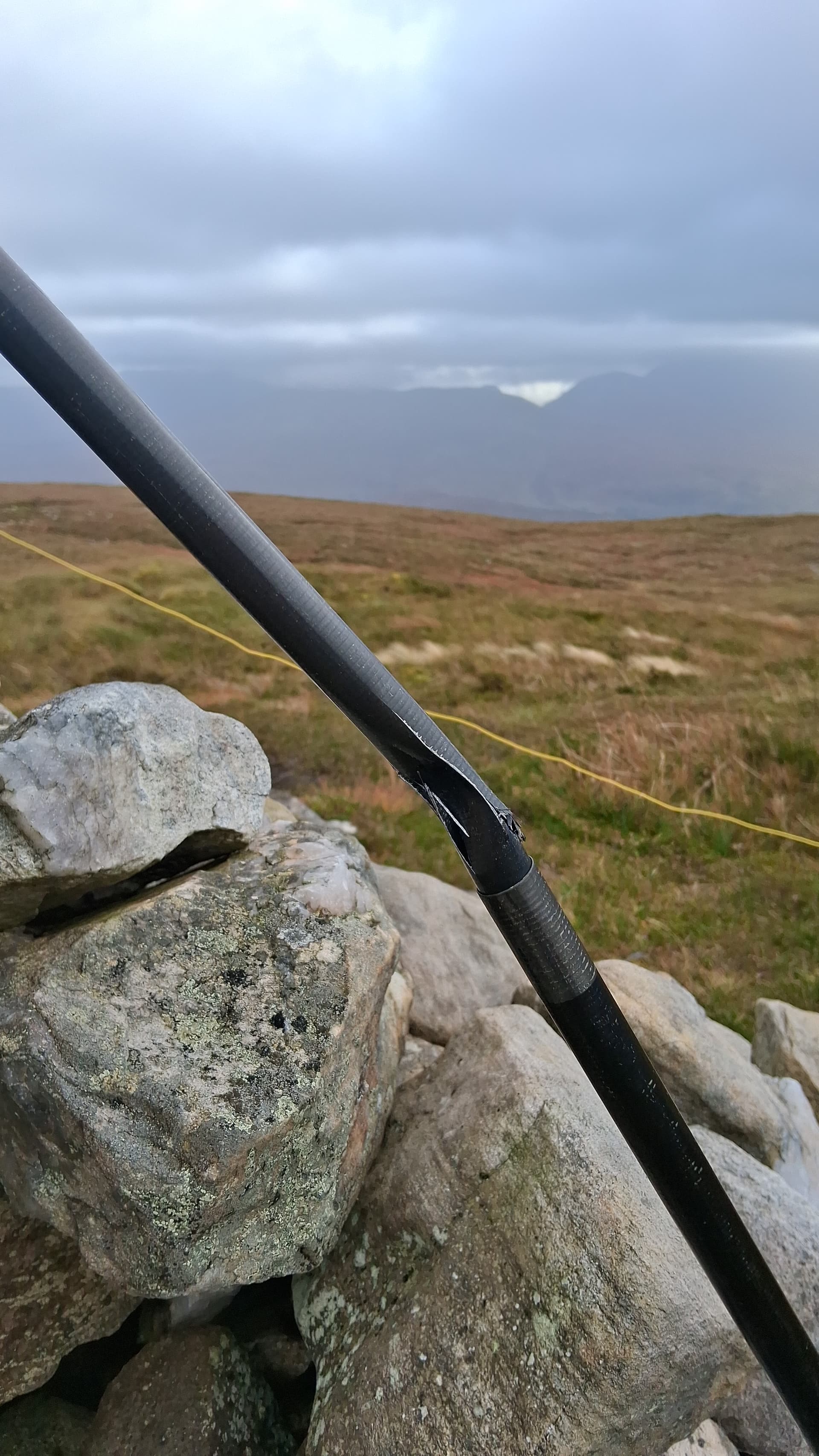
major pole collapse
Physics
I’ve broken sections of pole before but it’s usually been the upper ones and always due to icing. I think the angle of my pole combined with wind load proved too much for it today.
I managed to pack it away ok and set off down the hill. Much better views on the way back.
parallel roads clearly visible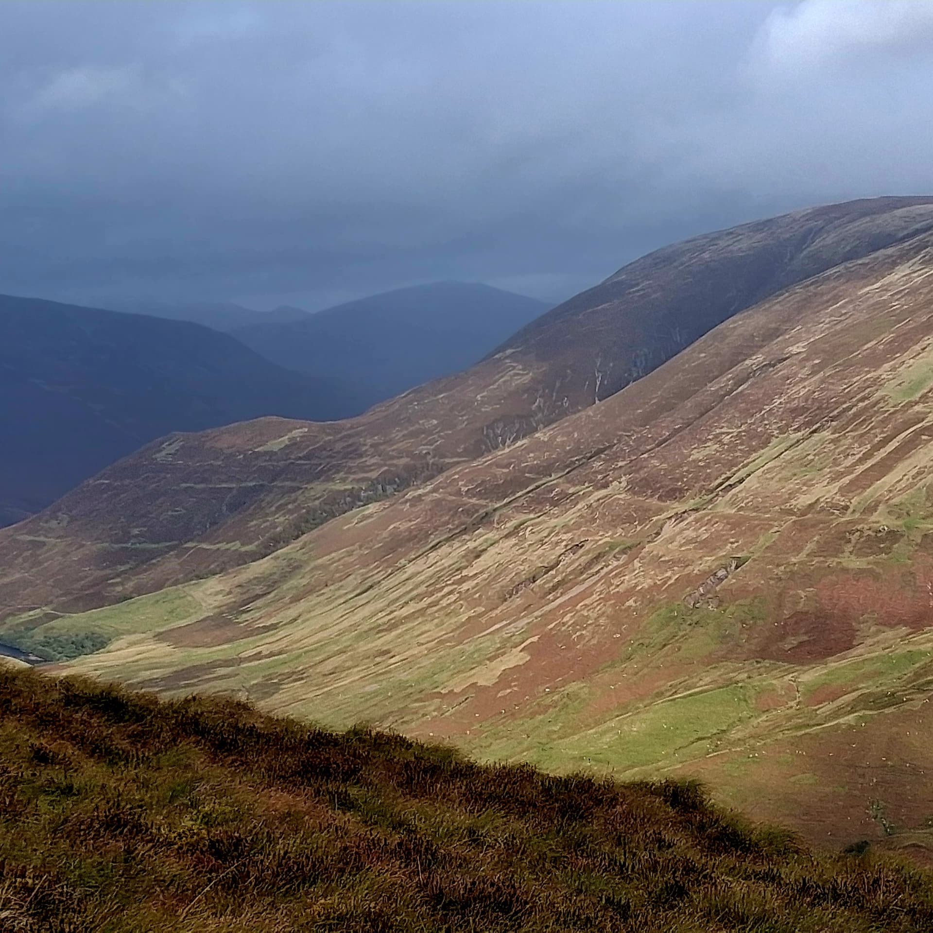
I’d crossed two parallel roads on the way up but hadn’t noticed. They were much more obvious when descending.
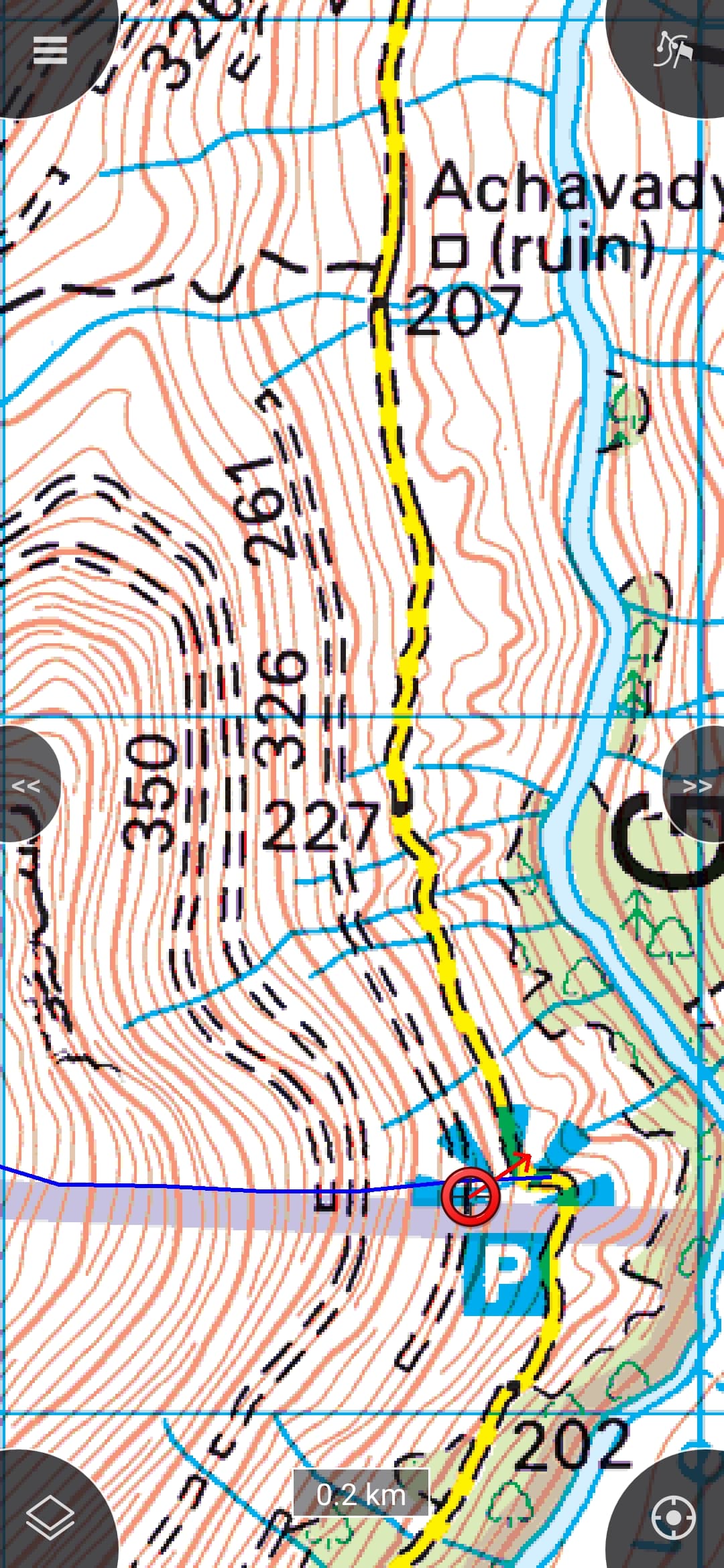
parallel roads, as shown on the OS map
In summary, a short bur steep hike, an even quicker activation, managing three bands in about 10 minutes. Broke my pole, saw some amazing stuff and manged the whole thing in an hour an a bit, and all on an accessible wee hill that hadn’t been activated for about ten years. Definitely worth a look if you’re passing by Roy Bridge.
Biology
Just before I dropped off the top I came across this. It looked like quartz but was actually a jelly like substance.
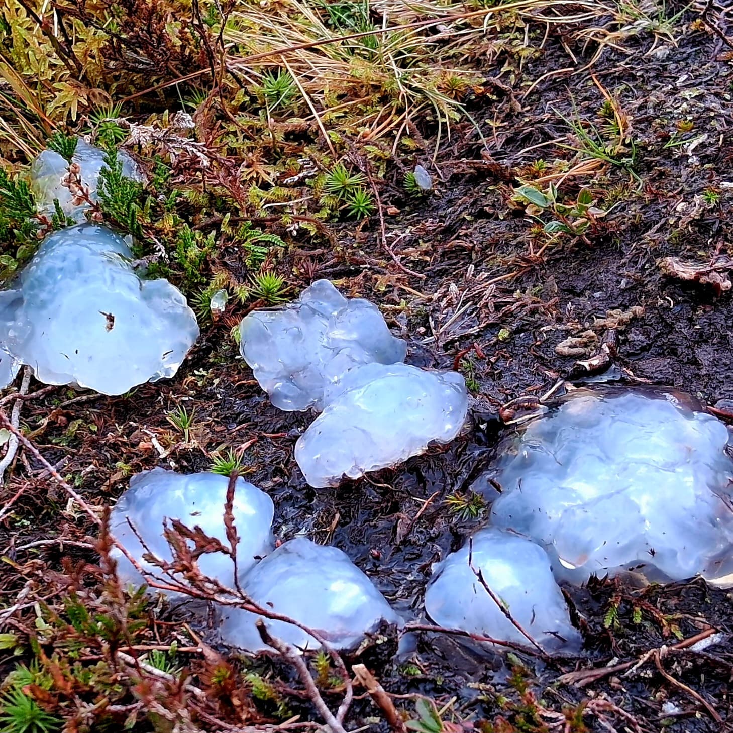
no banana for scale
No, it isn’t snow. Any guesses?
 I suppose a full coverage would be in a 301 level course.