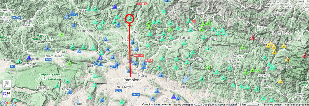
Following my to-do-list of activating new uniques in EA2/NV, I chose this one located about 32Km North of Pamplona:
You can see here the GPS track I followed and the elevation gain:
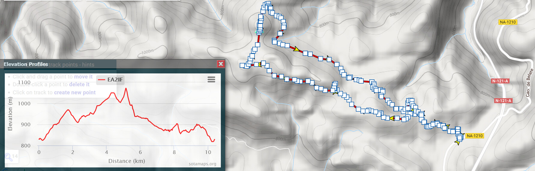
I hiked the complete round trip following the sense marked by the yellow arrows on the track itself.
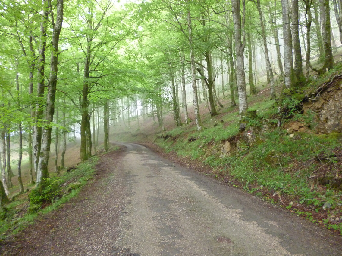
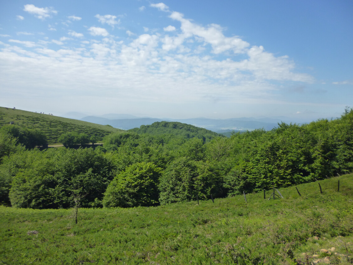
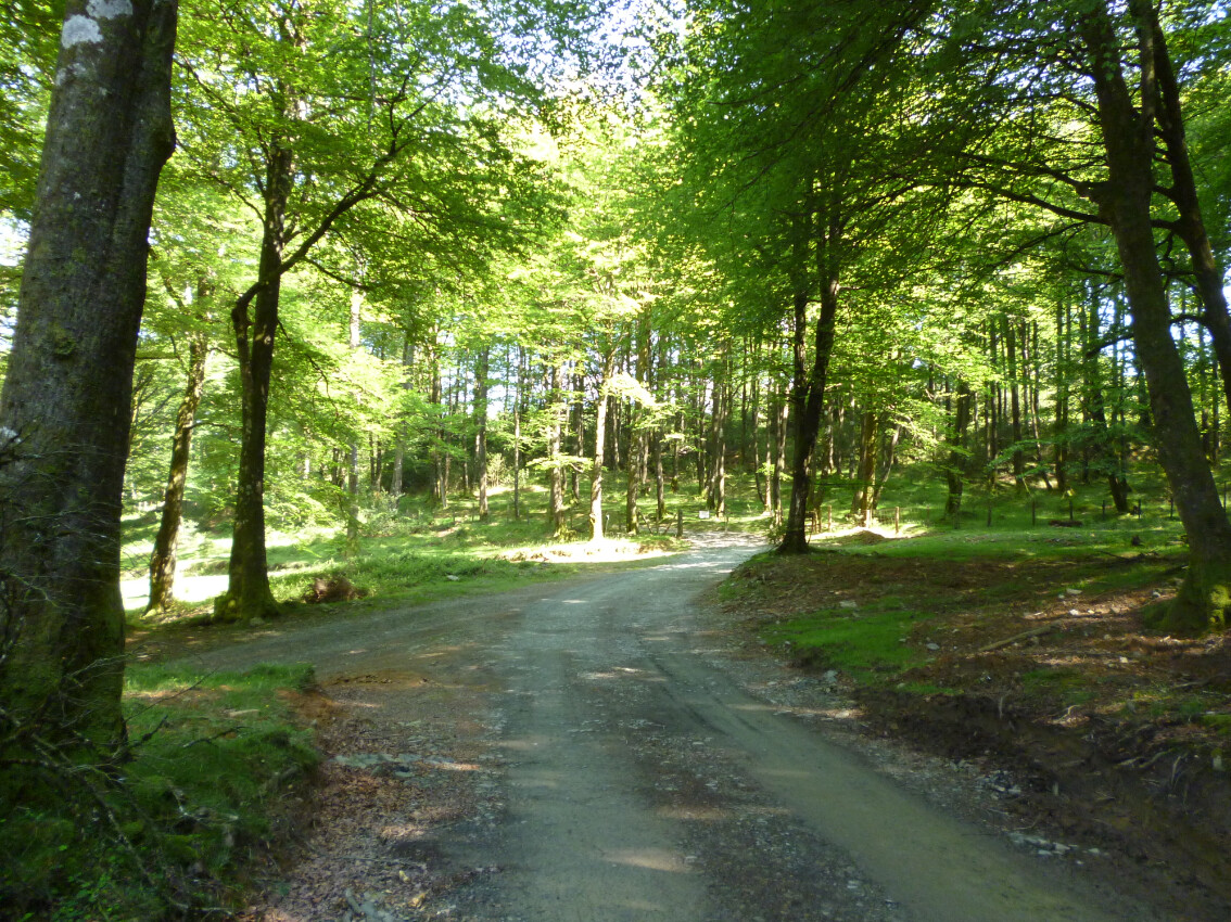
The first part of the hike went along a mountain road through a beech trees forest:
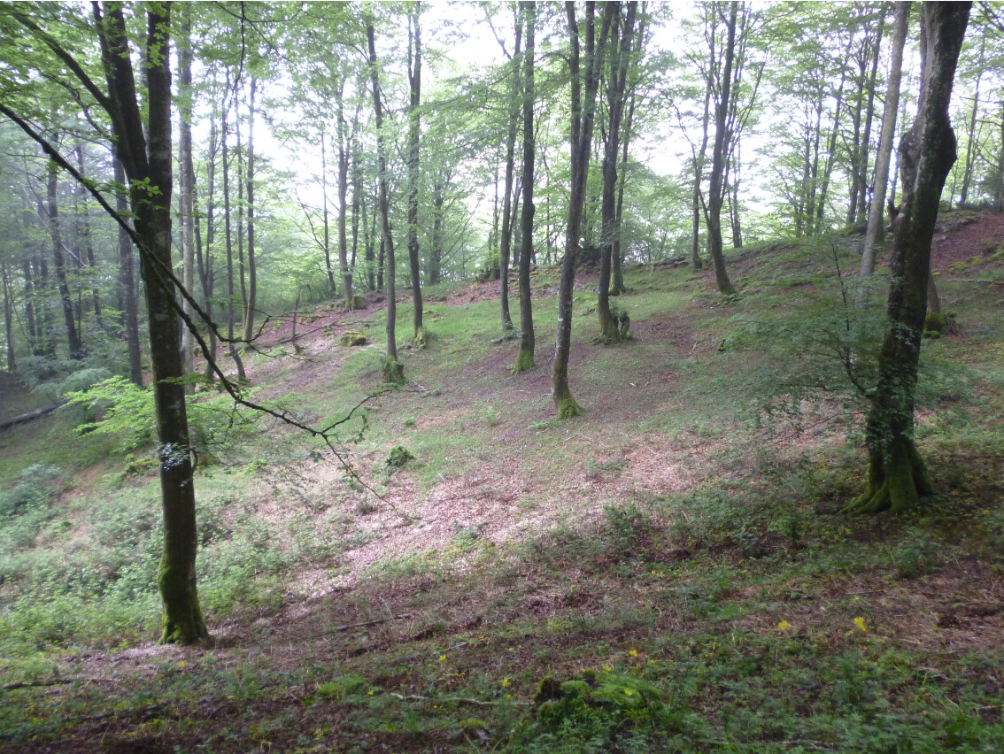
With delicious views and a nice shade:
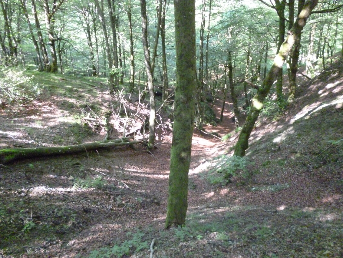
At this point the track splitted in two and I followed the one to the left:
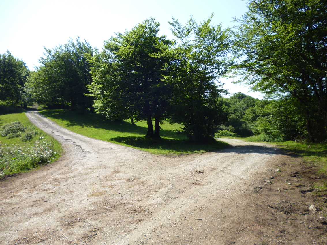
The one at the right is where I came out on my return.
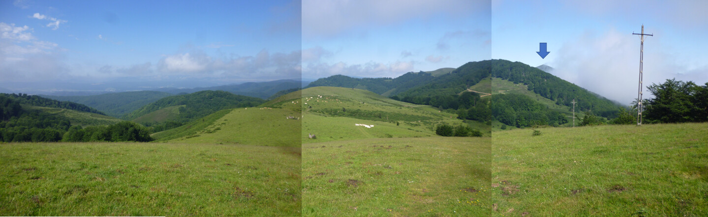
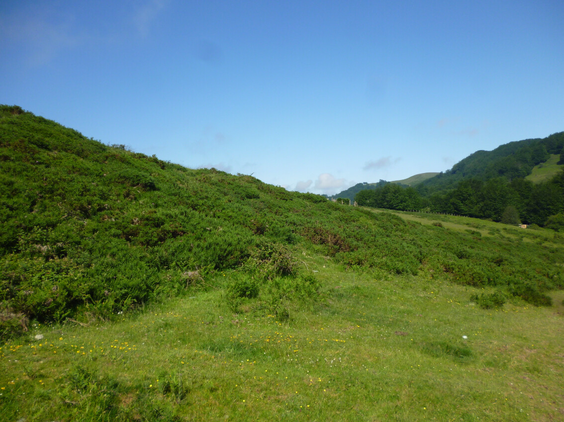
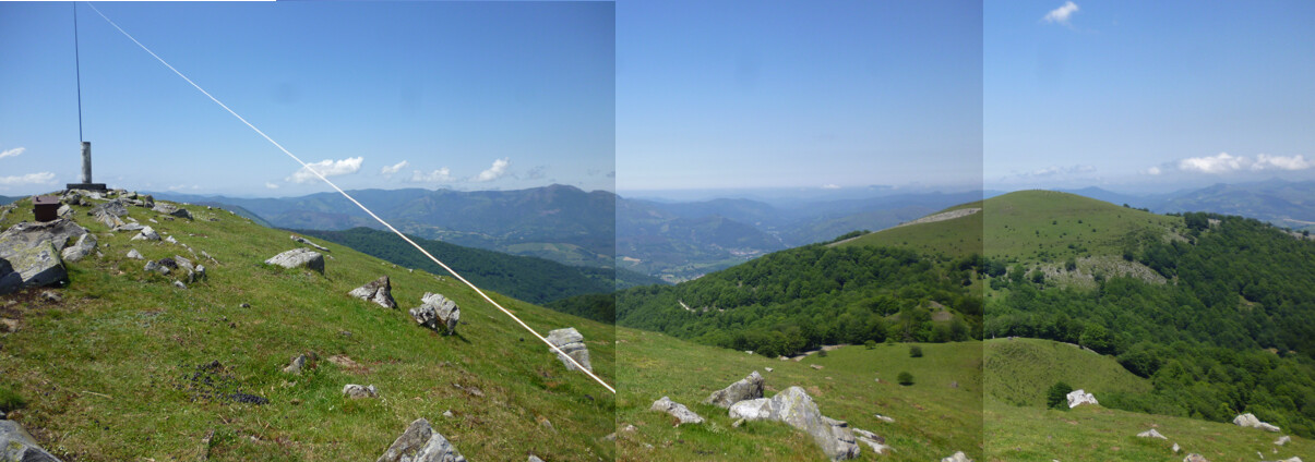
Once the forest was abandoned and some elevation had been gained, the landscape changed into this and the walk along the ridge was a real pleasure. The target of the day became visible for the first time and the hike continued along with the nice views:
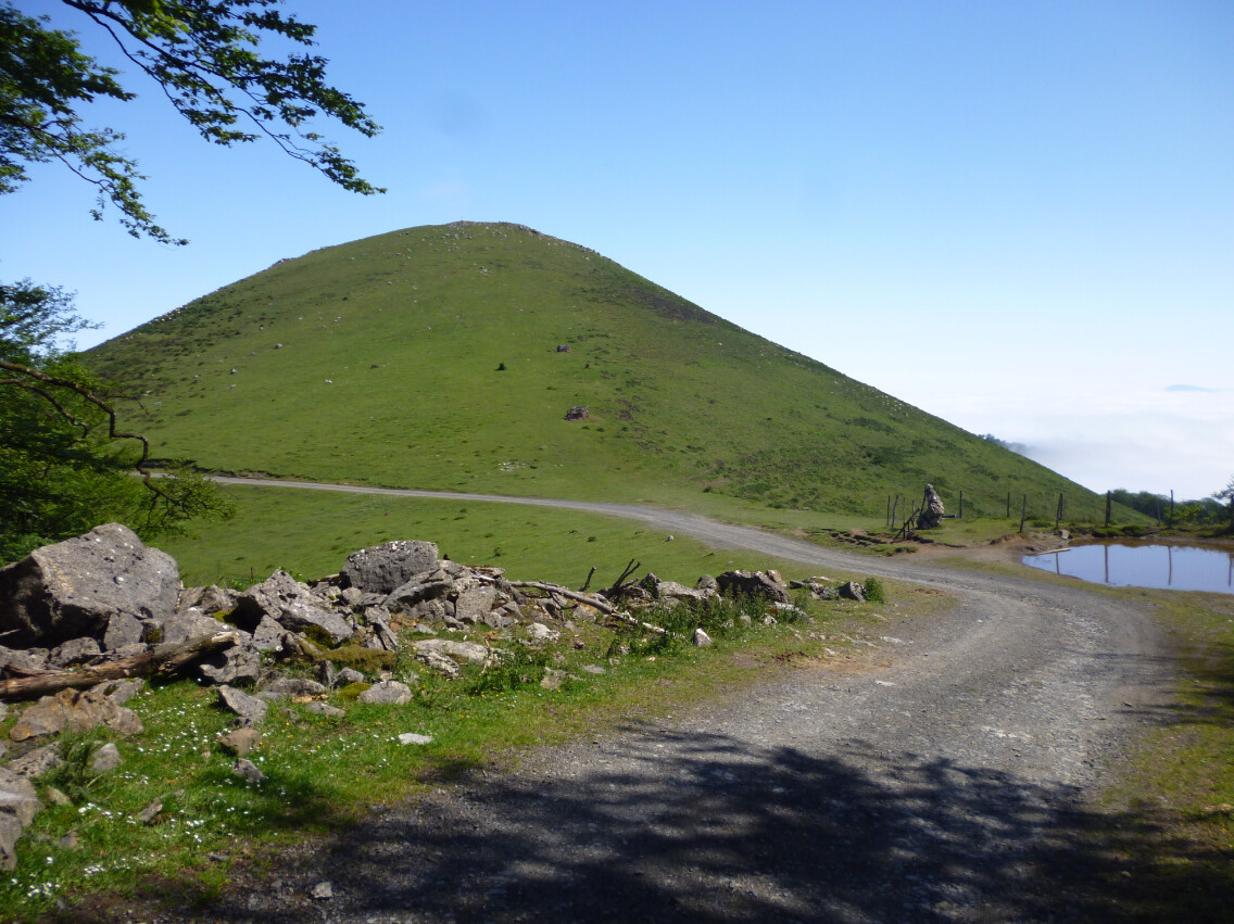
Now I headed towards this intermediate mountain,
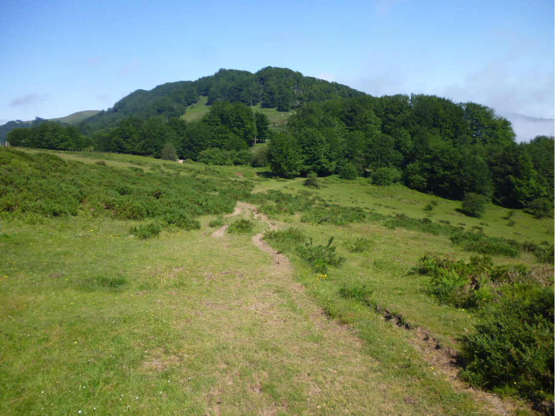
but I didn’t hike to its top and just hiked around it and continued though this landscape:
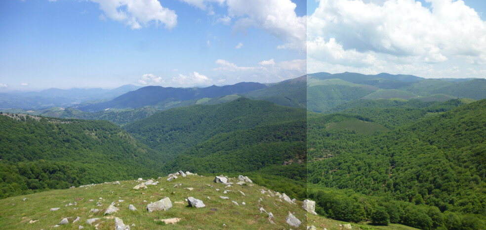
A look back from this point now:
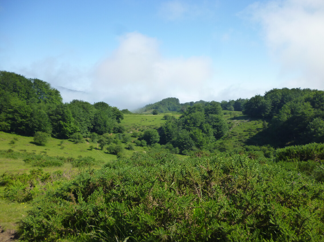
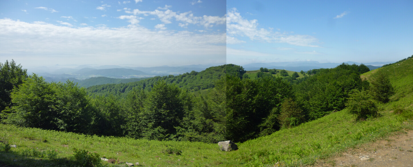
Further ahead, another lanscape now:
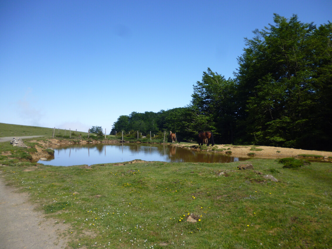
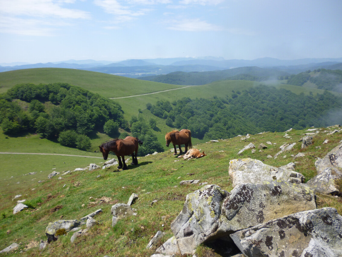
Some horses were by this small pond:
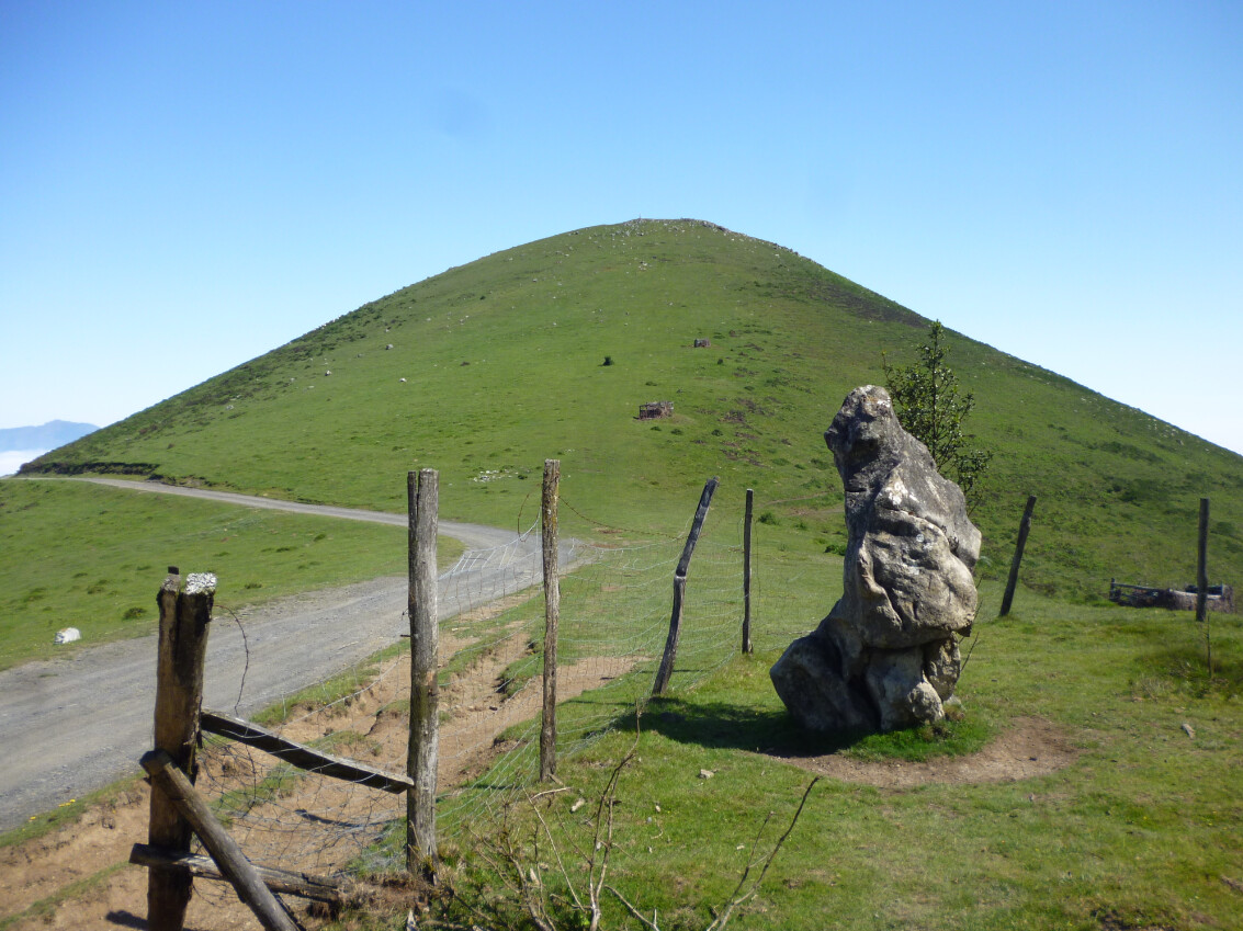
And the base of Mt. Txaruta was finally reached:
I hiked this final slope to the summit of Mt. Txaruta with a convenient zig-zaging in order to make it easier:
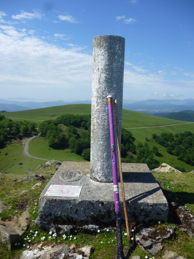
And I reached the summit after about 1h15:
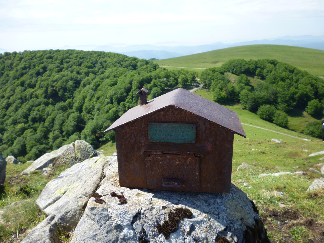
The mountaineers mailbox:
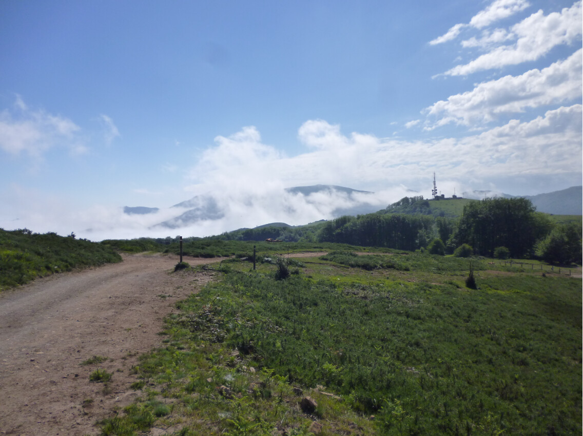
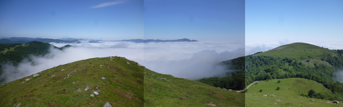
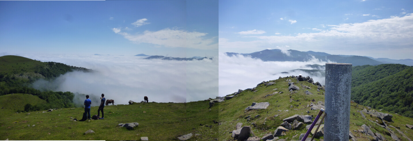
The valleys were filled with low cloud:
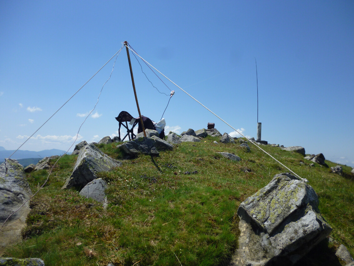
I finally setup my 14m long endfed sloper to a 9:1 unun with a 5m long counterpoise wire and it looked like this:
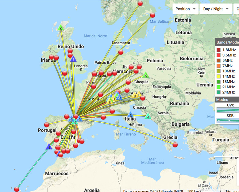
Logging my first QSO at 10h22 utc and the last one at 13h45 utc, the activation produced 71 QSOs and the great amount of 22 S2S, which probably makes this activation be one of my most S2S prolific ones after almost 3h an a half on air.
You can see it on the map:
This little horse had a nap during my CW activation (I wasn’t making any noise).
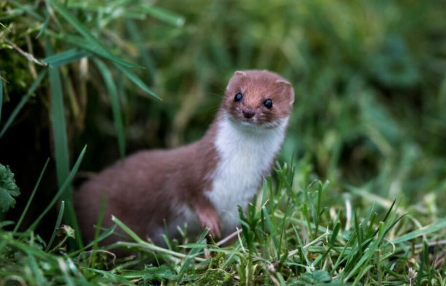
While I was operating CW, a beautiful weasel approached me to see what I was doing. It remained pretty close (less than 3m) looking at me and I had the chance to take my camera, but it quickly got behind a rock the 2 times I made a shot, so I couldn’t take my own picture of it. It was a very nice experience, though.
It was very similar to the one shown in this picture I found on the internet:
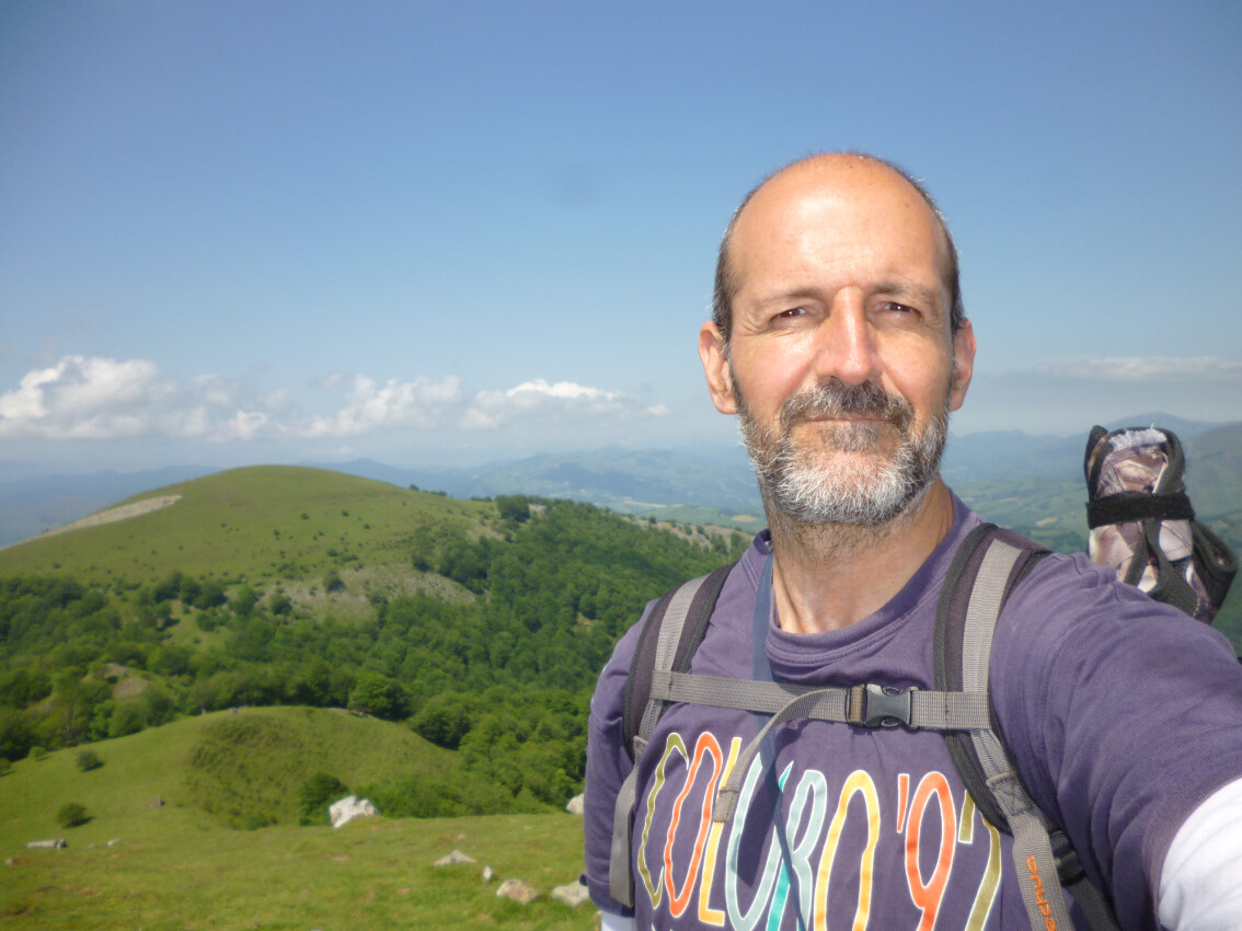
This selfie shows a very satisfied activator just before starting descent:
By the time I finished the activation, the low clouds in the valleys had completely vanished:
Descent was through a different track though forest
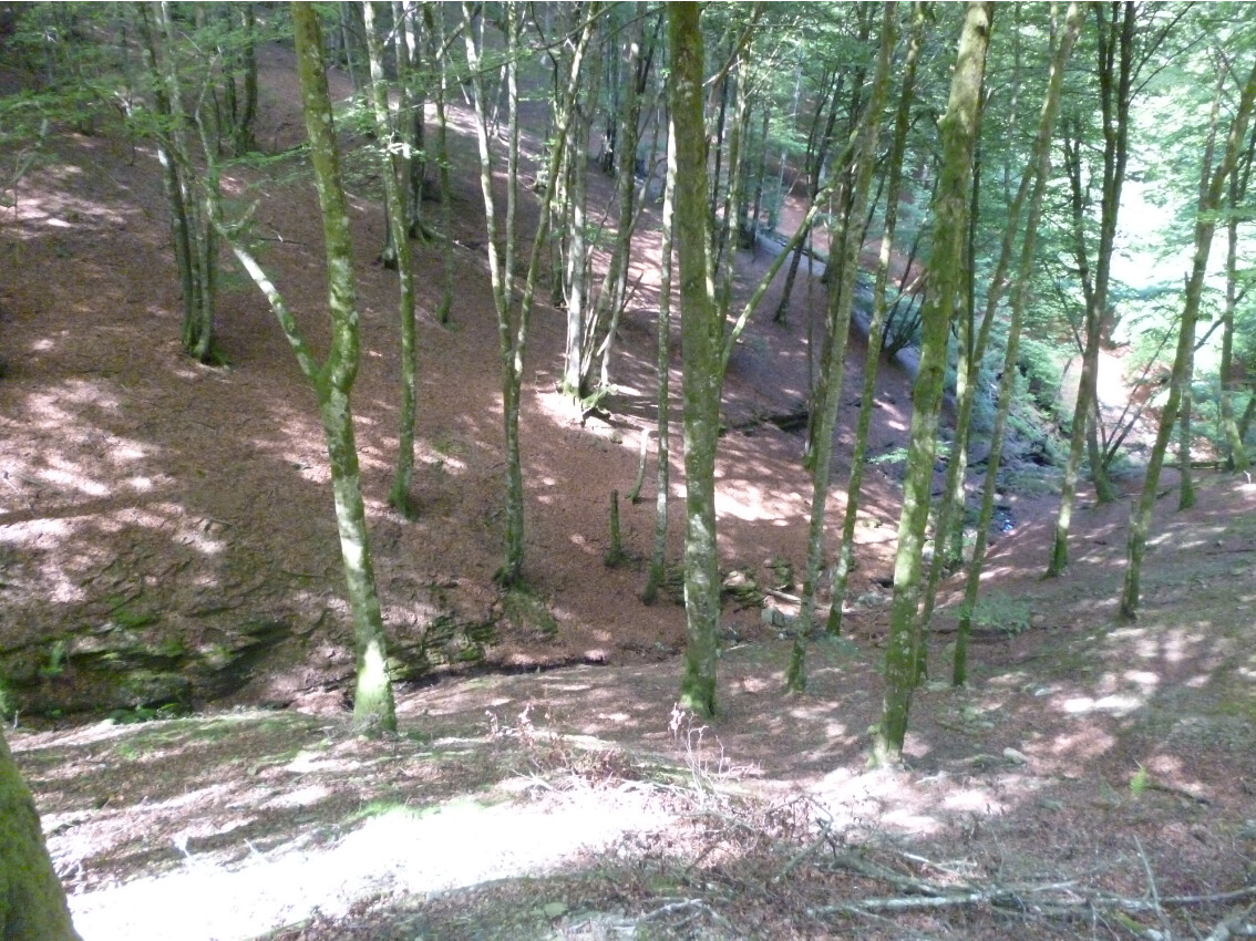
And I enjoyed the view of gullies like these:
I was on my own and it was a great time out in the mountains.
Thanks dear chasers for your calls and QSOs.
I’ll be looking forward to copying you all again soon from a summit.
73,
Guru