Rhinog Fach

On Friday a gap in the rain allowed me to make the first activation of Rhinog Fach, new GW summit GW/NW-078.


Base map ©Crown copyright 2021 Ordnance Survey. Media 018/21

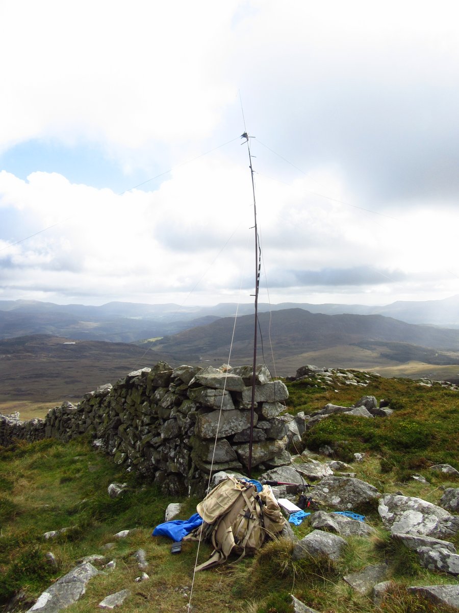
I followed a track from the forestry to the north east, striking uphill from Bwlch Drws-Ardudwy. I found it a pretty tough hike, but no doubt others will soon take it as a part of a multi-summit activation!

My full report is here.

Many thanks to all QSO partners.

21 Likes

Congrats on the 1st activation, Simon.

1 Like

Well done Simon.

Thank you for the contact and to be part of the first activation of this summit. Looking forward to following in your footsteps and using your route…it’s steep😁

73 Allan GW4VPX

3 Likes

It looks a nice looking summit too, viewed from the side where the tarn (llyn?) is.

1 Like

Congratulations Simon for this first activation. Well done.

73 Geoff vk3sq

Thanks for the S2S from this new one ! It was pretty windy on top of Caer Caradoc but we managed to shelter in the lee of the rocks.

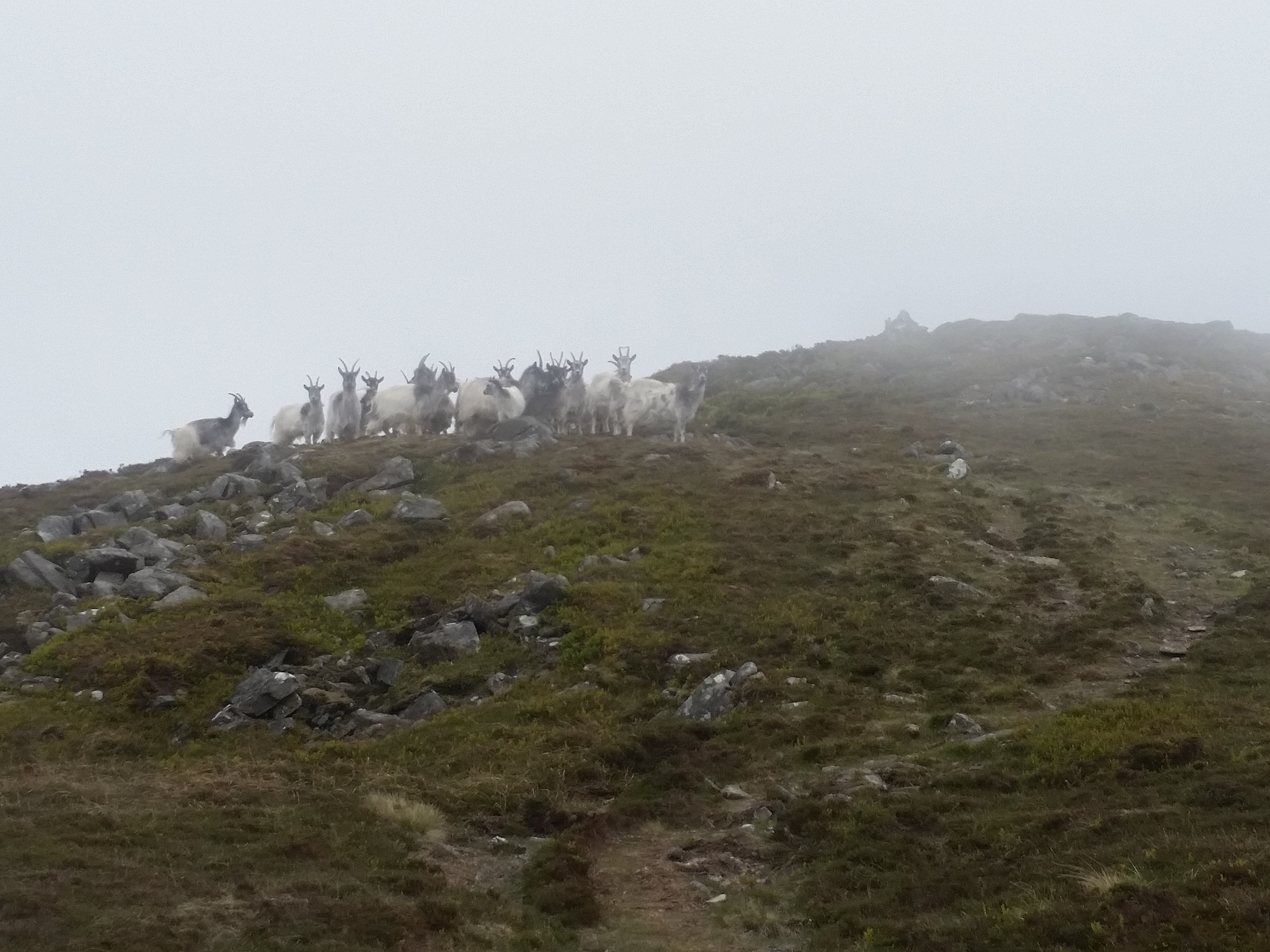
Well done on activating the new SOTA summit Simon. It’s quite a walk up from any direction. I accessed it when it was a HEMA summit from the west side up a track that was pretty much a scree slope. I think I may try your route next time as the track alongside Llyn Cwmhosan is very rocky and awkward going. It looks like you met the local residents…

and you had much better views!

73, Gerald

5 Likes

Nice one. Good to catch you. I recalled that as being a rather challenging hill. Seems my memory was right on this occasion.

2 Likes

Thanks everyone. For sure it’s a nice summit and not a busy one.

Thanks to Dave, MW0JKS/P, whom I’ve just worked for the complete.

From what Dave said I think that’s the way he’s gone. So 3 routes plus some goat tracks!

Looking forward to doing it again. Whether or not in a combo remains to be seen!

2 Likes