Beinn Fhada GM/SI-034
We have a few Mull fans on this reflector. I think this one is a cracker! A must do.
Mo and I have been on the island since Thursday 12th October. We were part of the safety team for the Mull Rally. A spectacular event that uses the (closed) roads around the island as stages. Think IOM TT but rally cars. After no sleep for a couple of nights and then a chilled afternoon watching the winners parade town the main street in Tobermory, thoughts turned to an expedition.
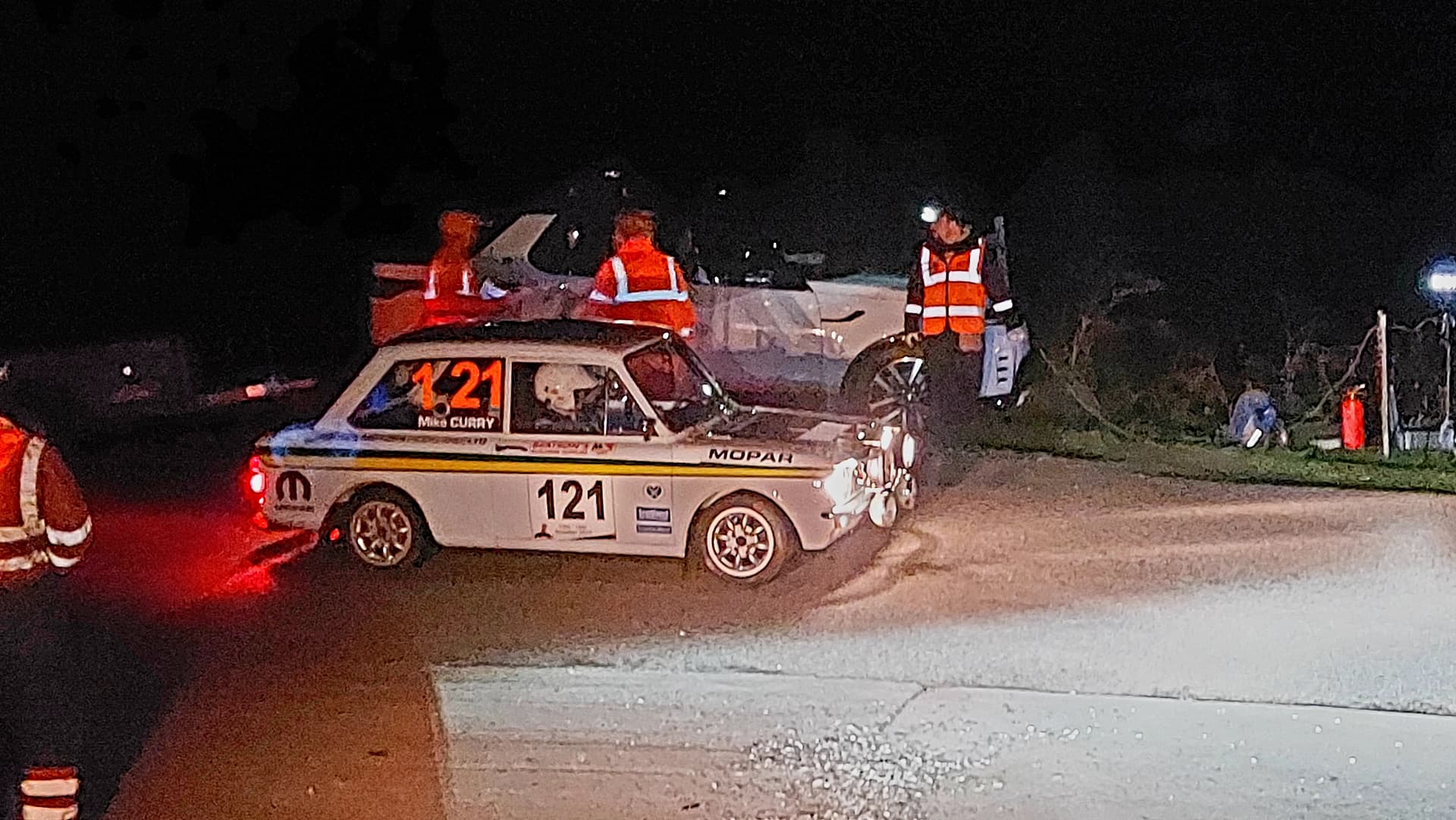
my favourite car of the rally and last on the road, but it did finish
I didn’t want to drive too far from our base near Salen, so settled on Beinn Fhada GM/SI-034, a 702m mountain that rises from Loch na Keal on Mulls rugged west coast. Ben More, GM/SI-003, Mulls only Munro, is its next-door neighbour. Oh, and Tuesday would be activation day – a day of decent weather sandwiched between five days of showers and the impending Storm Babet.
We grabbed some nice coffee and cakes from the excellent Coffee Pot in Salen and took a short drive over to the west side of the island. I parked up on the machair. Mo was sitting this one out – preferring to stitch up infinite numbers of felt gingerbread men for some Christmas decoration, I think.
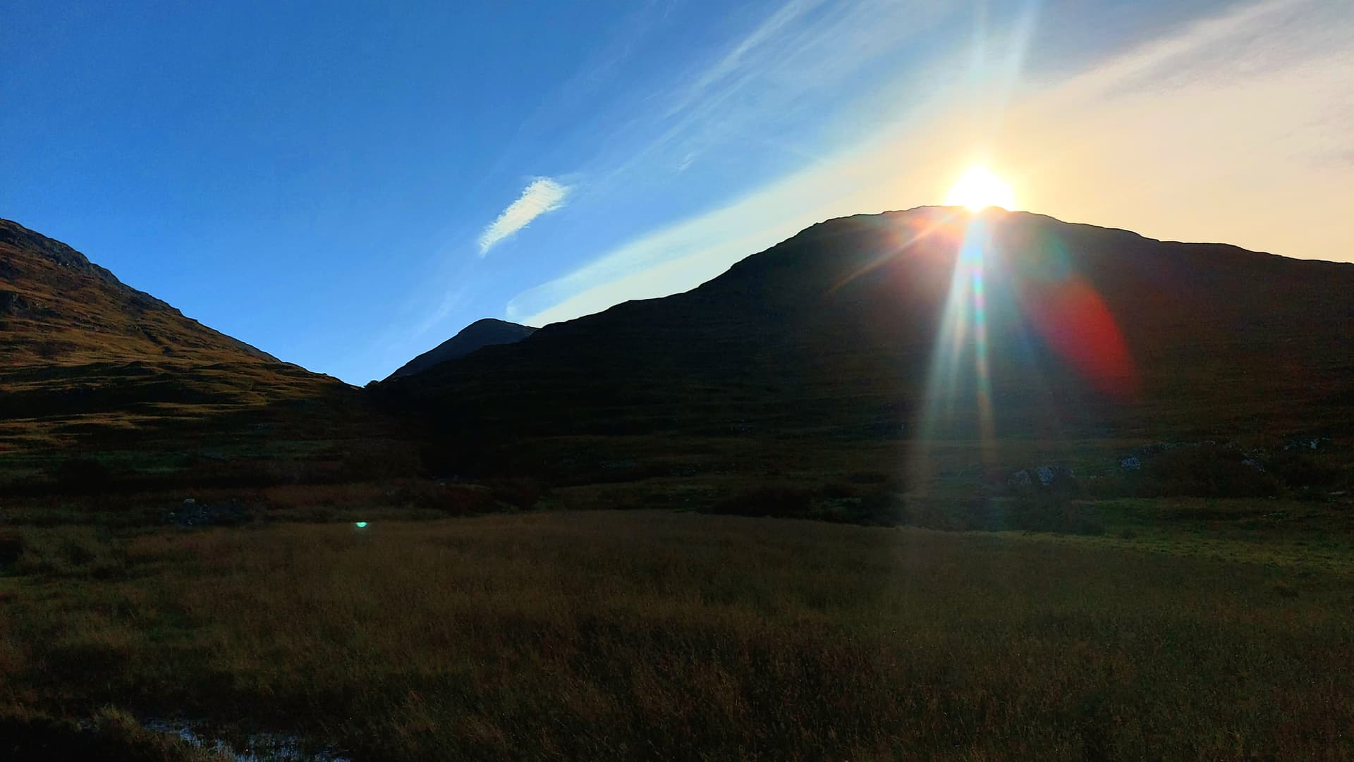
1040h and the sun just appearing above the ridge
I had the walkhighlands route on my gps and also on memory-maps on my phone. The track initially follows the south bank of the Scarrisdale River, before heading almost south up the steep ridge on Beinn Fhada. I departed at 1045, after coffee and a flapjack. The initial boggy path soon dried out a bit and started to climb towards Coire nan Gabhar. I was drawn in by the beauty of the corrie and its ampitheatre of Beinn nan Gabhar, An Cruachan and Beinn Fhada. A SOTA, HEMA and a SOTA that would combine to make a grand day out.
I’d walked a bit too far into the glen, probably following a sheep track. I turned hard right and ascended steep slopes on short grippy heather with the odd boulder here and there. This eventually led to a buttress, then another and another and another. Intimidating from below, most had a way through the broken rocky walls and some were turned this way or that. Lung bursting, but eventually the angle eased, the buttresses became smaller and the sun appeared on the horizon. A sure sign I was reaching the ridge.
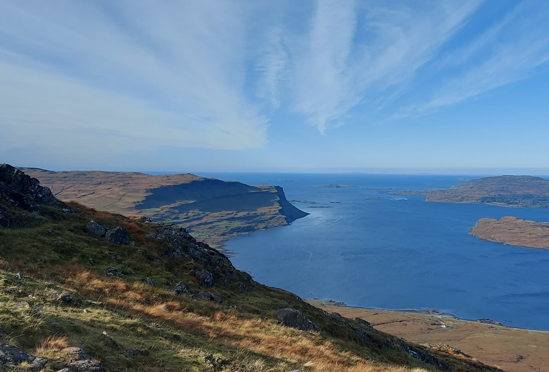
down to Loch na Keal with Gribun rocks distant
The next 1.5km was spent traversing an initially broad ridge, that narrowed and then descended to a col, with a fearsome dark steepening rising ahead. As with most things on mountains, it looked a bit easier from closer in. The steep prow was of shattered rock and had a rough path up the middle, with just a little scramble move here and there. It in turn eventually led to the summit buttress which also looked fierce, however a scree path climbed from the right, the ridge was gained and easily followed to the small grassy summit. The wind blowed hard and cold from the east. It was now 1220.
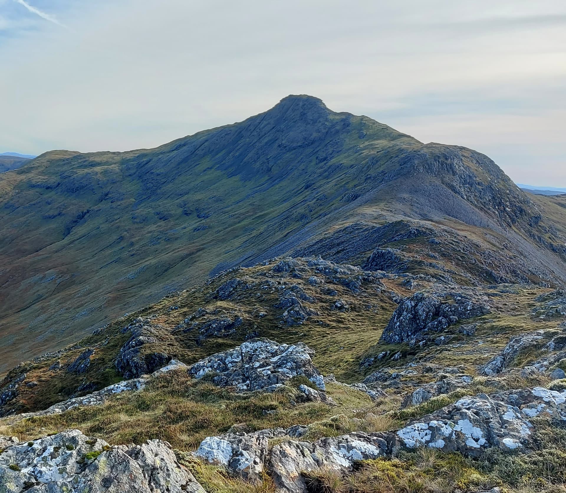
the way to the top
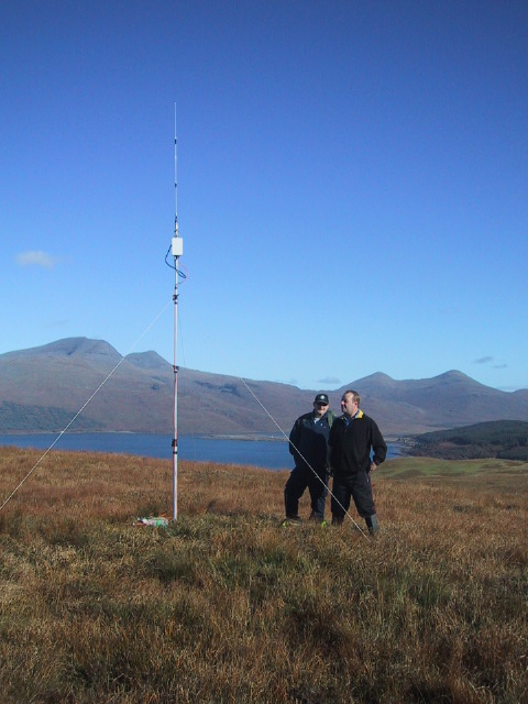
Initial plans to erect an EFHW were shelved. Instead, I placed my pole sleeve into the summit cairn and raised my 41’ random wire up the Carbon 6 pole. The dead end was weighed with rocks, the live end pegged and connected to my Elecraft KX2 via a 9:1. A 17’ counterpoise lay on the ground. VK Port-a-Log was initialised, a spot sent and I anxiously waited to see who would return my calls on a quiet sounding 40m band.
A few did. Seventeen to be exact, including a summit call from @G1JKS from G/NP-001 with heavy QSB. 20m next. A bit of a disappointment, with heavy fading, however another thirteen logged. 20m seemed short, with contacts to nearby Norway and England. Afterwards, Joe @KE9AJ messaged to say he could just about hear me Stateside. Funny old thing, radio, isn’t it? I thought 17m may be better. Often it is. Not today though. Thanks to @SQ9OZM for persevering.

summit view to the coast

summit view to Ben More
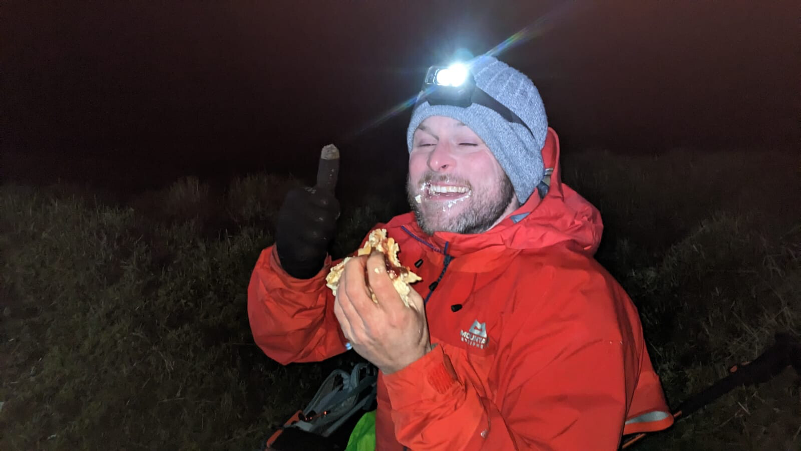
It was now 1310 and we had other things to do in the afternoon, so time to pack up and head back. A quick snack of Glasgow’s favourite biscuit and an apple and I was good to go.
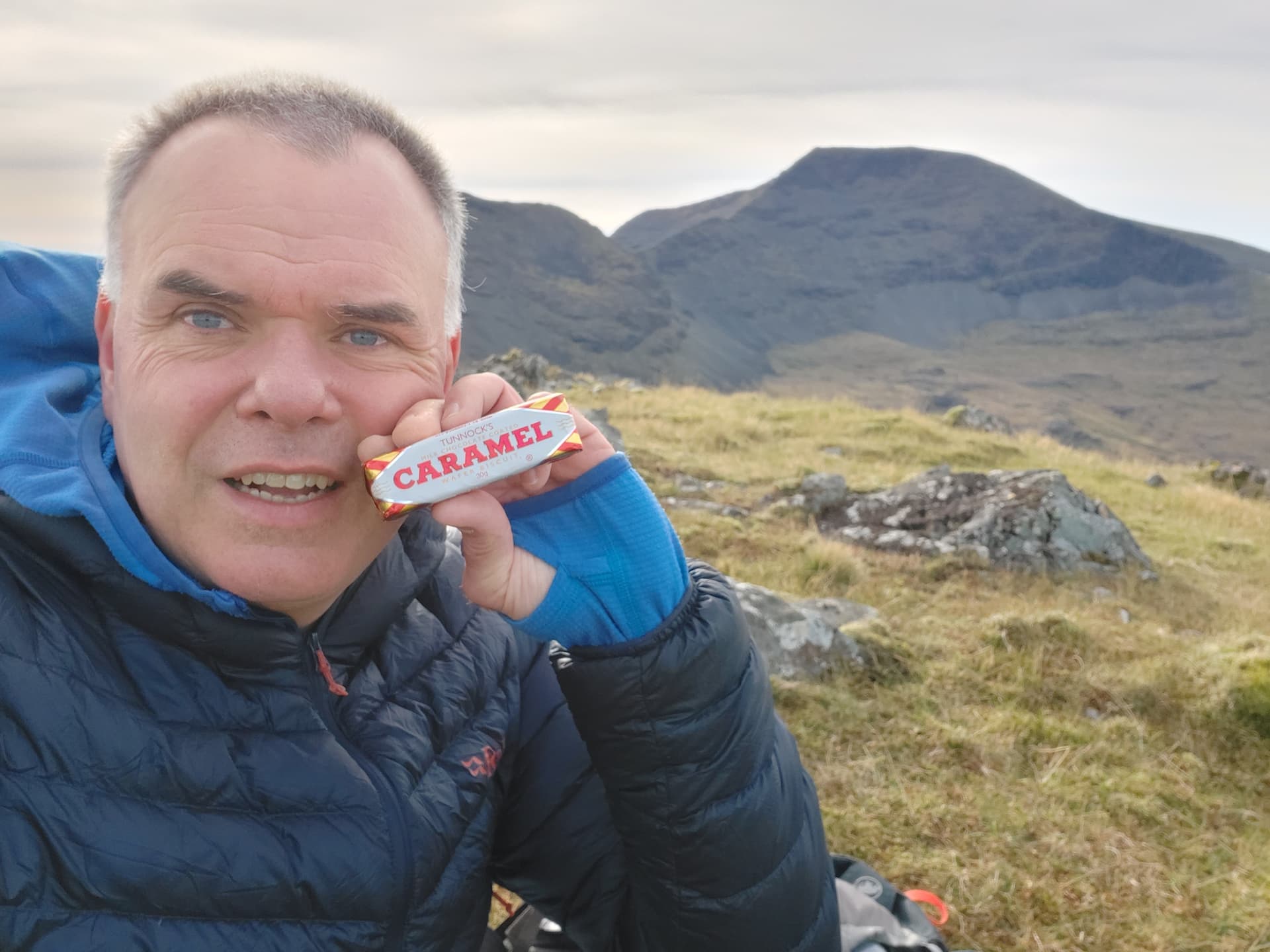
they have a Tunnocks Tea Cake eating competition the night before the rally. I think the record is 34. Washed down with a can of Irn Bru.
I retraced my ascent route to the car, which wasn’t too bad despite having to re-ascend part of the ridge. Descending the buttressed nose wasn’t as bad as I had feared, although I lost the track many times and seemed to take a different route around every one. From above, a grassy shot cut path seemed to lead directly to the grassy base, so I took this. I think this was a sheep track, however it got me down quickly and I arrived back at the car at 1440, it having taken me 1 hour 20 minutes to descent. I’d been on the hill for four hours in all.
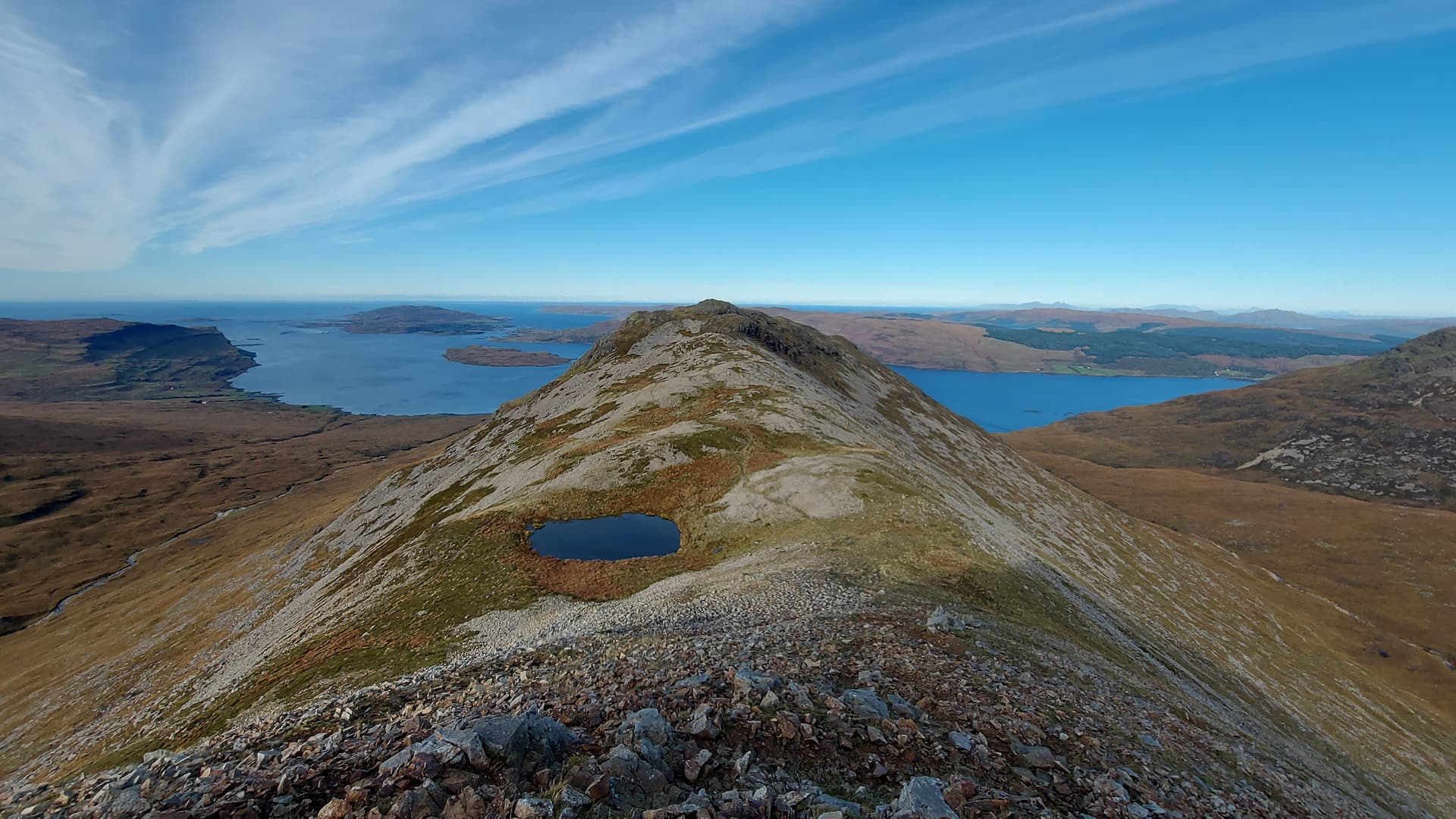
heading back along the undulating ridge
Summary
A cracking hike up a great mountain. Much less visited than its more famous neighbour. I saw no one on the hill and only had high altitude sheep for company. The numerous tracks left by the sheep did prove problematic at times. The best strategy is to keep to the centre of the ridge as much as possible and work out each steepening as it comes.
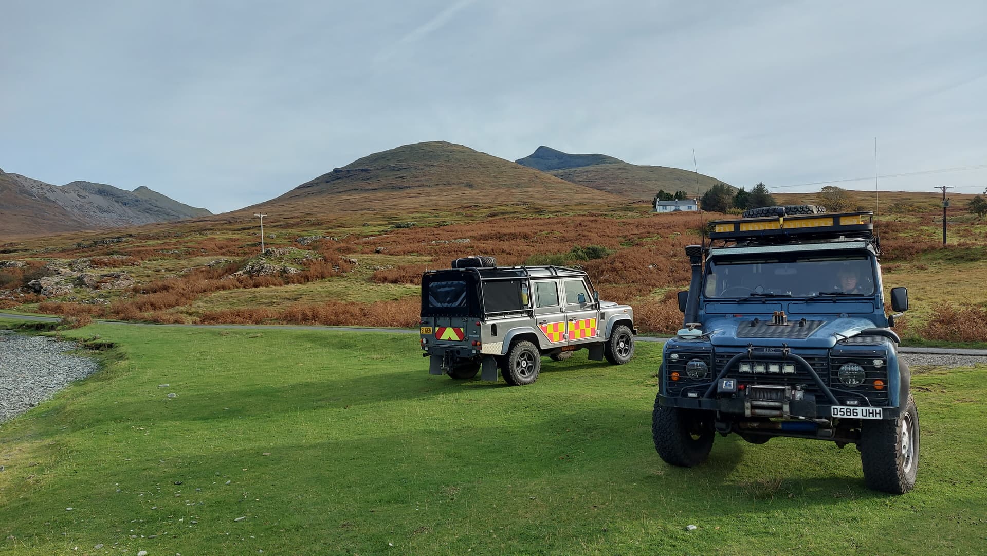
Bumped into a rally recovery friend who had also stayed on. He’d gone up Ben More today. Ben More is above his grey Land Rover with Beinn Fhada being the point at the faraway left
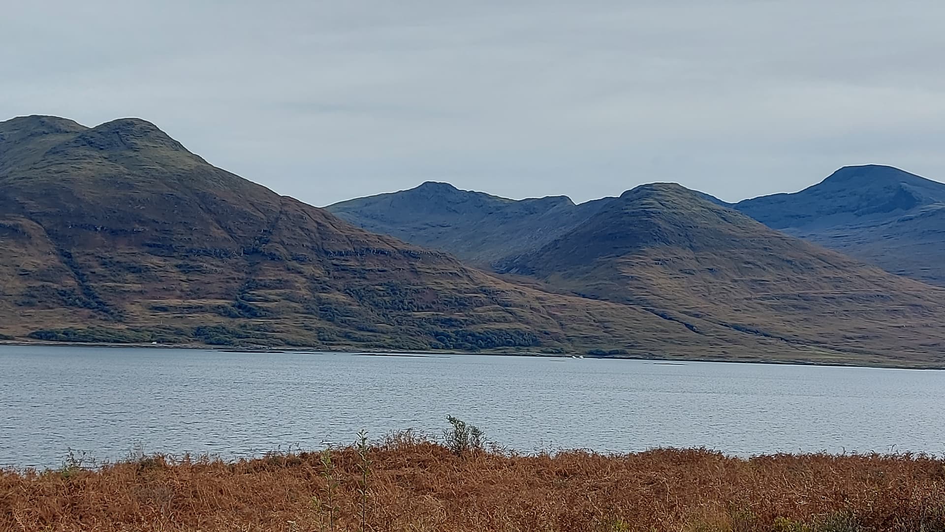
the three SOTA peaks seen from the far side of the loch. Beinn Fhada in the middle, summit at the rear. The ridge can clearly be seen
As for the weather, well it is getting colder. The high mountains of Lochaber were capped in snow today and it’s getting to that time of year where it is essential to carry some extra kit. Windchill was probably only a couple of degrees above zero on top. Fantastic though. Put me right in the mood for winter!
73, Fraser MM0EFI