It is now our last full day of our Portuguese mini-expedition, and more accident than design, we had saved the best walk to a SOTA summit in the Algarve till the end of the trip.
During the week we had done short walks, less than 30 minutes and drive-ons but Serra da Rocha da Pena (CT/AL-007) was a “proper”, circular walk for just one point. We had reviewed the walk suggested by Phil (G4OBK) and watched the videos by Tim (G4YBU or CT7ASV while in Portugal) and Tonnie (PA9CW), so we were fully prepared and knew what to expect when we arrived before sunrise with the full moon prominent in the sky. We had learnt our lessons and knew we should start early to avoid the late morning heat although it was already 20°C.
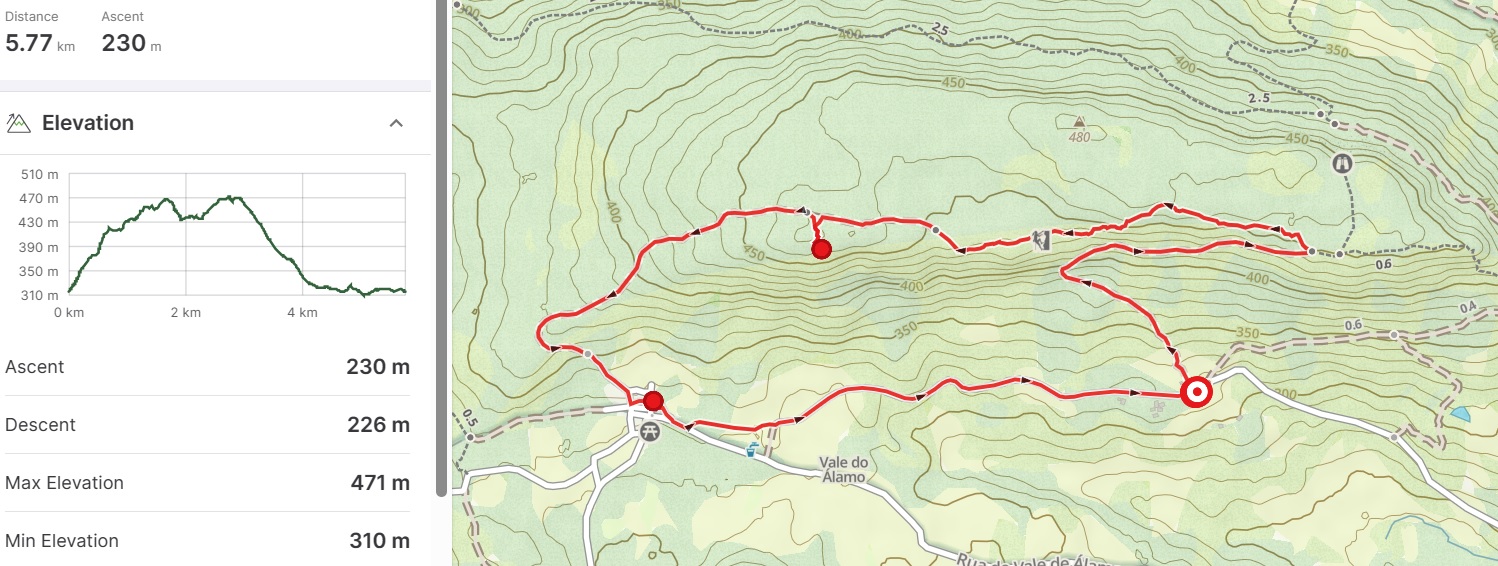
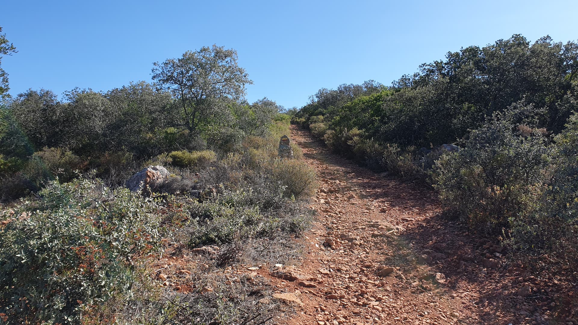
Parking for the walk starts in village of Rocha da Pena itself which is to the southeast of the summit. Initially the route follows a 4x4 trail and appears to head towards the summit and the sheer cliffs below it, but soon it turns right and heads away fairly gently upwards. Not long after (1.2 km into the walk) the track intersects with a path coming from the east where you then turn sharp left (following the markers) on to the walker’s path taking you to the summit. At this turn we had gained most of the elevation but the path was occasionally rocky and encroached by scratchy plants; not ideal for my exposed legs!
The circular route to Serra da Rocha da Pena (CT/AL-007)
Part way up the 4x4 track looking towards the summit and the cliffs
The path follows the edge of the cliffs (with the occasional warning and ropes to avoid the drop) and after 600 m we arrived at the ancient defensive wall. At this point we could have gone to the true summit but there seemed little point, so we continued on the further 1.5 km walk to the trig-point (which is still well within the activation zone).

The defensive wall as seen from half way along the track to the trig-point
Our destination from near the wall with long shadows from the rising sun
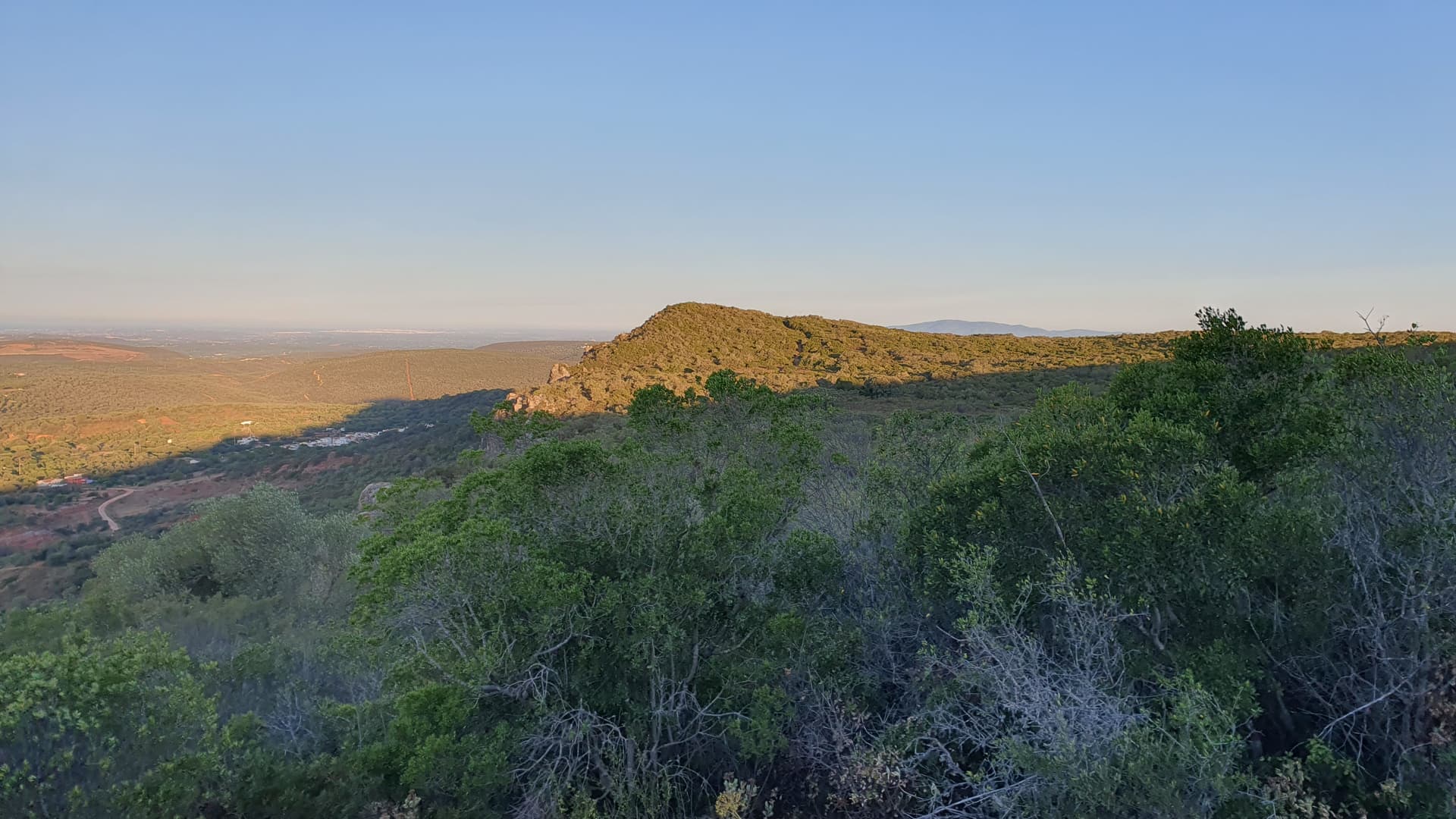
The marker sign pointing to where we came from (behind), where we are going to go (forward) and the trig-point (left)
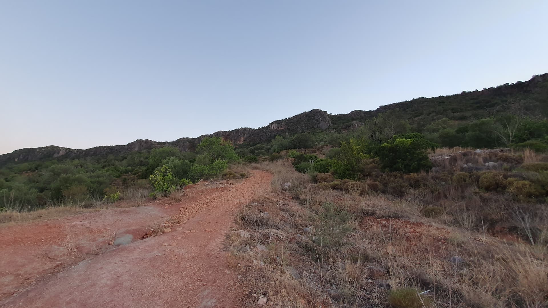
At the trig-point there is a plaque describing the various places that can be seen and it is a fabulous view over this agricultural area with its rolling hills and small villages nestled along the valley. With nowhere easy to setup the antenna, we retreated back slightly and found a sufficient gap to put up the vertical and sit on our now well used mat.
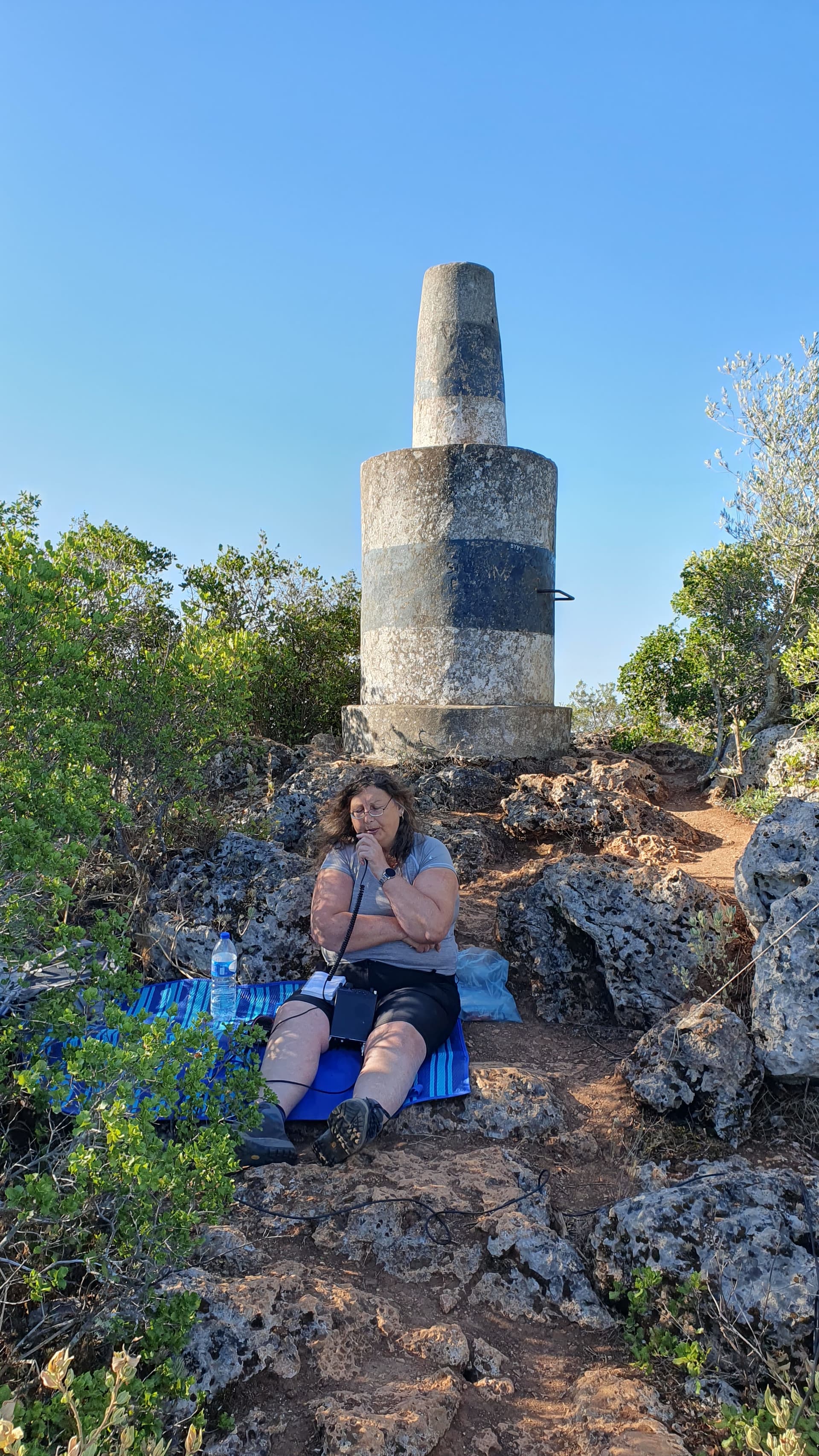
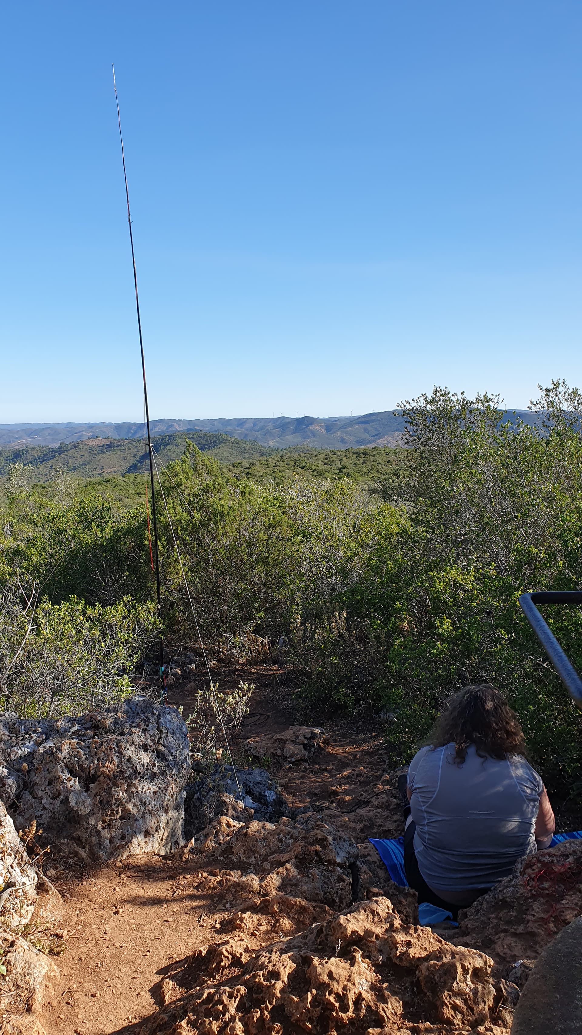
Our activation site below the trig-point with a view towards the north
I started on 20 metres at 06:40z and managed 50 contacts before the responses dried up at 07:30z with Helen grabbing 7 of the strongest to qualify the summit. This included Paul (VK5PAS) who came booming in so occasionally I would ask Europe to wait to see if there was any reply to DX CQs. Three more VKs (Bill VK1MCW, Marija VK5MAZ and David VK3BY) made it into the log as well as a unexpected response from the “other” direction, Preston (N5YIZ/M), in Texas. I decided to try 17 metres but the band was not great with only five European stations responding. Some photos taken and a quick look on 20 metres added another six. Surprisingly, there were no summits to summits.
We packed up, admired the views some more and then decided we would continue the circular walk if only for some variety and the possibility of an ice cream in the town of Penina. The walk opened up again as we dropped from the summit into a stony 4x4 track and seemed to go on for a long time (although only a km) before we finally reached the wide loop at the westernmost end of the route. At this point we knew the houses of Penina were not too far away and we continued onto a road following the signs to the café for the promised ice creams.
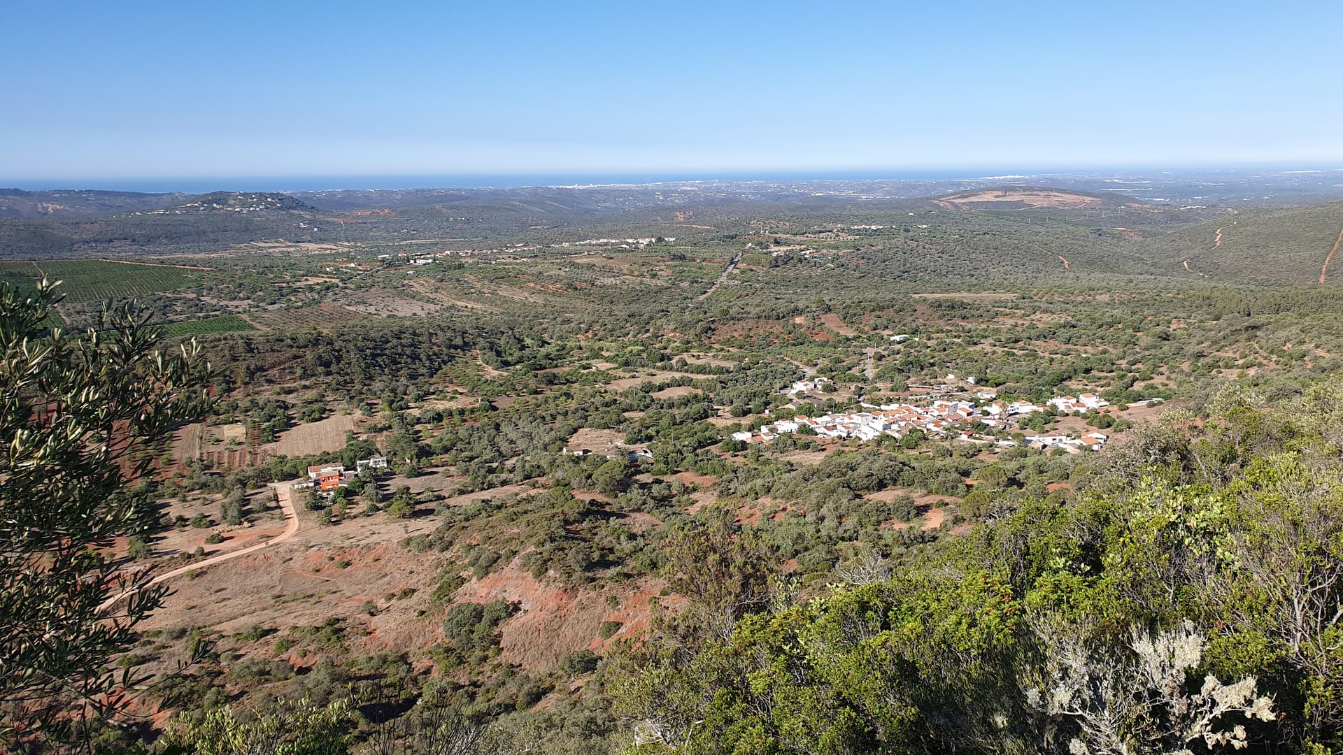
The view southwest from the summit overlooking Penina
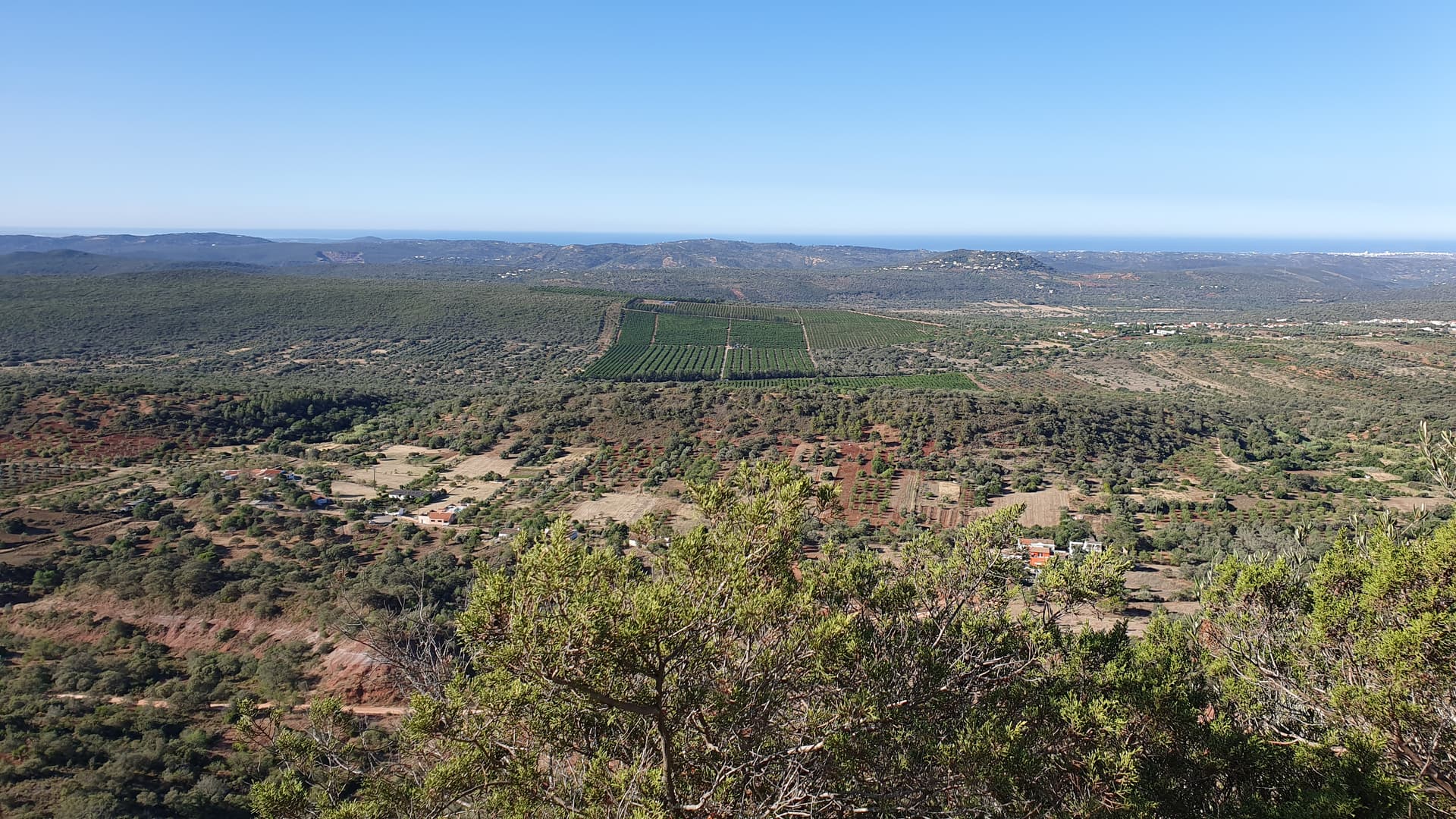
The view south from the summit including the track we would use to return in the foreground
Looking up the track towards the marker post as we leave the summit
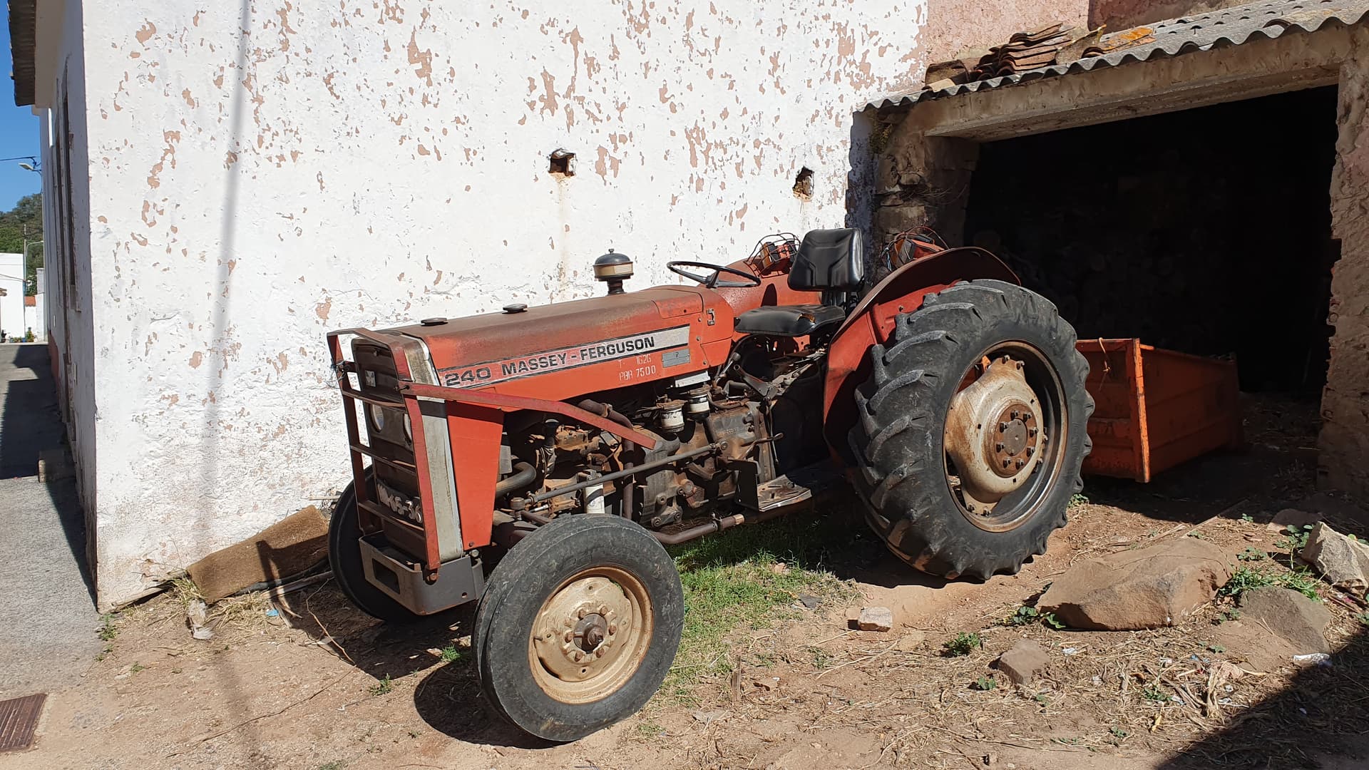
We recognise that tractor
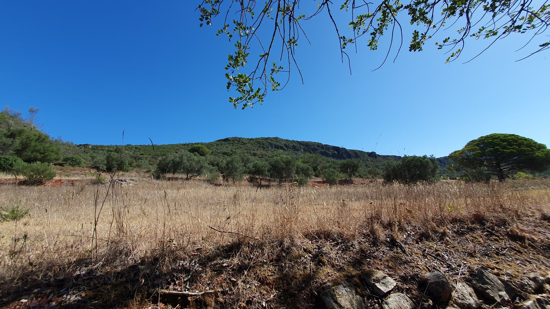
The sun was now beating down so we found the shade as much as possible but at this point we ended up on the unmetalled road between the two villages. We had a great view of the cliffs and the summit between the trees that scattered the lower slopes as well as many handmade windmills near the start, which we presume were to keep the very noisy grasshoppers away.
The view of the summit as we start on the unmetalled road back to the car
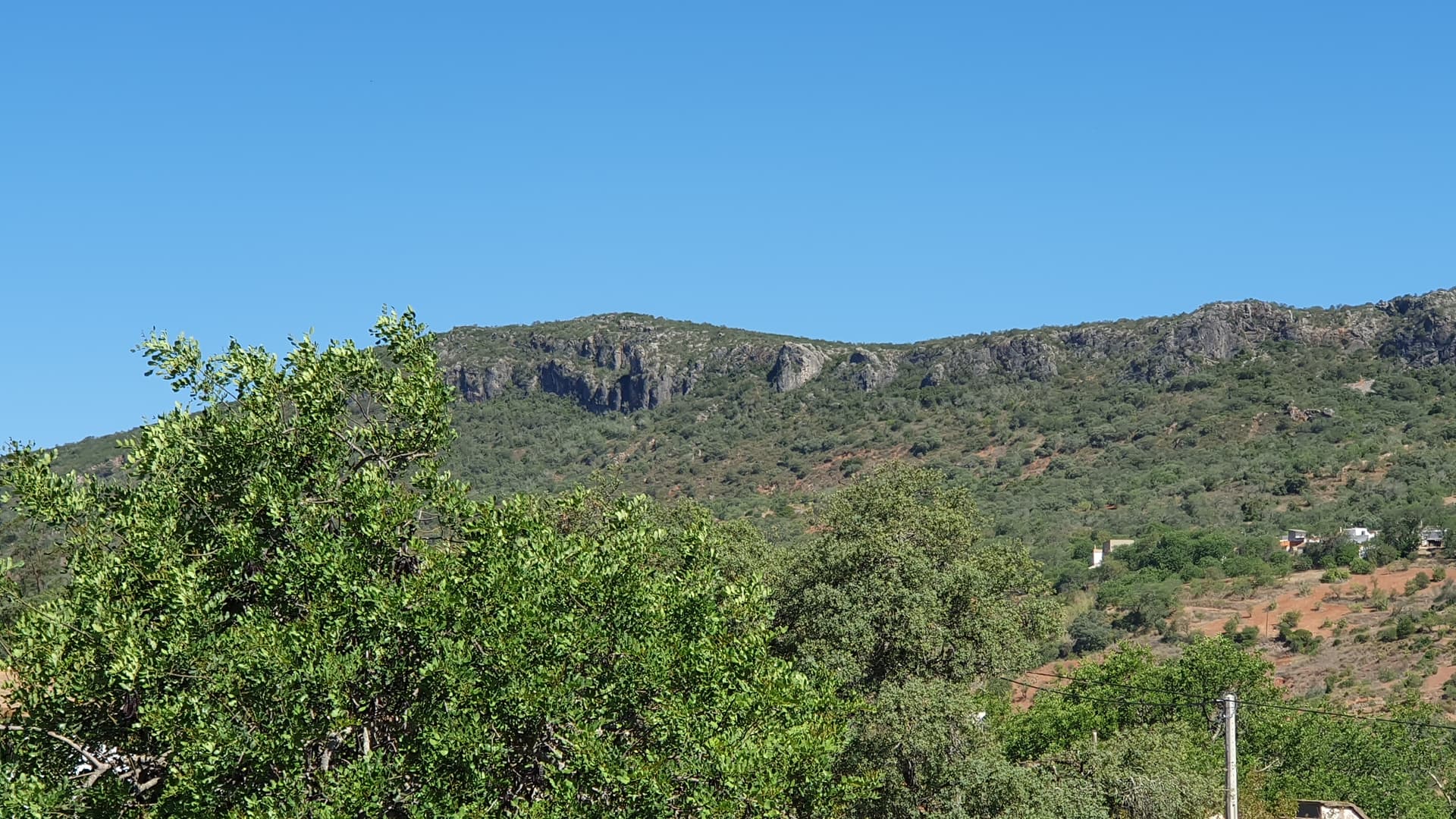
Another view of the cliffs further along the unmetalled road
We arrived back after about 6 km of walking with 200 m of ascent and descent over 4 hours and debated whether we fancied some food in the restaurant near the parking. We decided that instead we would have a farewell meal later in the afternoon back in the old town of Albufeira. A number of different sorts of caches were nearby that we wanted to find which included a drive through Loulé, a town which we wish we had spent some time exploring.
So our Portuguese adventure was coming to an end and it had gone by really quickly. We had achieved what we planned in the 8 full days we had, activating the 9 summits in the Algarve region, the highest hill in the neighbouring region of Baixo Alentejo and two summits (including a first to activate) in two regions of southern Spain, including a day in Gibraltar. Such a shame we will not have an excuse to come back to the Algarve for amateur radio unless someone adds another summit.
Thanks to all those that chased and to all those that provided the information on the SOTA database for us to plan our trip so effectively. We hope our write ups will help others visiting the area in the future. Our main piece of advice: take something to sit on (or buy a beach mat once there),
Carolyn
Equipment used: FT-817 running 2.5 W into a HF Packer Amplifier providing about 20 W into a linked quarter wave vertical for 20 m and 17 m
8 full days from 28th July to 4th July 2023 with 12 summits activated, including an unactivated summit in EA7/CA, with 310 contacts (22 s2s) for G6WRW and 112 contacts (15 s2s) for M0YHB (422 contacts in total) over 9.5 hours of operating
Also 1800 km driven, 35 geocaches found and a day in Gibraltar
Portugal Day 1 - Activation of Cabeço de Câmara (CT/AL-009) - Activation Reports - SOTA Reflector
Day 5 - Gibraltar