I can see the origin of the term as a division of the 360º circle. The direction intersects or divides or slices the compass.
wunder
I can see the origin of the term as a division of the 360º circle. The direction intersects or divides or slices the compass.
wunder
Jonathan
I have used the Garmin 62s for a couple of years and have a Garmin Vista HCx as backup.
The 64 is as far as I know mainly an upgrade of memory and space. Garmin recently introduced Whole GB mapping at 1:25 but at huge cost, this will only work on the 64 series onwards gps, so if you think you may go to that level of maps this is the one to buy. If not The Garmin GPsmap 62s will do everything but run that particular map. I have the whole of GB 1:50 and a few national parks at 1:25 level (4 on a micro sd card-press a couple of buttons to switch maps) this works great for me. I use an old version of Memory Map to plan routes on the PC and upload to the GPS, I am nearly at MG and have never used a map and compass!
The batteries last an easy 15 hours (Energizer 2300mAh rechargeable) and I carry 2 spare Lithium as backup but have never once had to use them.
The gps is straight forward to use apart from two functions, Trackback and Saving routes. But once that is mastered the rest is easy. Yes the map screen is small, but if you are following a pre made track as I always do you will never have to look at the maps.
If your gps should get lost/damaged the maps are only registered to that gps and not the new one you buy, so that could be a major issue.
The new model 64 means the 62s can be purchased for £170 or less at the moment. If I needed a new gps tomorrow I would get the 62s again.
(I didn’t say I couldn’t use a map and compass Hi.)
Mike G0HIO
I’ve been using the 62s for a few years now and I think it’s brilliant. I have OS mapping of whole of UK and when abroad I use the opensource.nl maps which are like OS map quality in the countries I have visited, and for UK too for that matter.
I use rechargeable batteries and find you have a hour or so of battery after first warning beep in non winter conditions. Battery life itself is very good. FAR better than a phone or my old Geko 0201had.I use it for geocaching as well as navigation. I have not used the compass and A4 laminated map of the area I take for good couple of years now. We did the Eastern Fannichs in snow and white out earlier in the year and there is no way in my opinion you could safely navigate a new area in those conditions with a map and compass alone. I can aim off etc for map navigation but you wouldn’t have a clue where you were imo in conditions we went in.
I have used smart phones when not had it with me (non mountain trips) and the phone is ok to a point but battery won’t last lighting the screen for hours on end (btw I turn off the backlight on the 62S completely in daylight)
Also hands up who wants to take their glove off on a winter windy day to work the touch screen? Assuming the touch screen doesn’t have more than one or two snowflakes or water drops on it of course. Mine ignores my fingers then…
The worst thing I can think of about the 62s is it would sink if dropped in water, but I try to not do that. You need finger nails to change the batteries, not much to grab hold of. 2 inches of thin ribbon can fix that but forget putting that back in when windy.
I bought the garmin attachment for the back that puts a round Knob on it to clip into the other part clipped onto the rucksack. That works well and I have used it mountain biking which shakes it about a lot more than walking.
It feels hefty but one white out day in unknown terrain and you wouldn’t mind if it was made of lead! ![]()
HI Steve / All
May as well comment myself as a GPS62S user…
I think the way to go is belt and braces, GPS, Smartphone and Compass, especially when walking alone in remote areas. So I carry a laminated extract from the OS 1:25000 map blown up to 1:12500 scale showing my likely route. Note I say “likely” route… The map is usually printed on A4 sheet from the UK version of Memory Map which is on my Windows PC. I sometimes also carry the 1:50000 Landranger map for the area of interest in the rucksack, but it is sometimes left in the car. Compass is in the rucksack - and is not usually needed, but it can be used if required. Of late I have also started to carry a Smartphone which is now loaded with several mapping applications and the GPS status app, which is very good at getting a quick fix on the phone GPS and then closing it before opening up the Viewranger or Memory Map app. I did try Anquet mapping and spent a fair amount on UK maps three years ago before deciding to ditch it. In my opinion the best UK mapping on PC is Memory Map and the best mapping to use on Smartphone or Tablet is Viewranger but I haven’t used other systems. If you purchase OS map tiles from Viewranger you can view the OS map through the my.viewranger website. The maps you see there are based on a web server and not on your computer. The maps you have bought though reside on your device so a cellular or wifi connection is not needed to use them. The Viewranger app is far superior to the Memory Map app on a handheld device and is far more advanced and development continues with it, whereas the Memory Map app seems moribund and gets little development. The tech support by Viewranger on the phone or e-mail is also far superior.
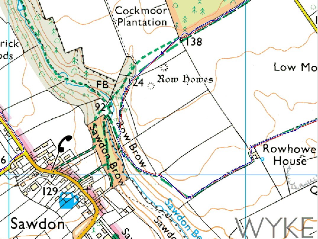
Going to GPS units proper - I started using one and recording my tracks in May 2006 after a short course provided by John Earnshaw, G4YSS on Kinder Scout when we went out one day locating aircraft wrecks and activating the summit. I have never looked back since, although over recent activations in Wales I have had great satisfaction in using a recently purchased Android Smartphone with a 6 inch diagonal screen with the Viewranger app installed. I also carried my GPS 62s which was switched on and recording my track on that 3 day tour. The GPS62s GPS is slightly more accurate but the GPS built into the phone is more than adequate and sensitive. See comparison picture. Smartphone trace is in blue and the GPS62s in red - an extract from a walk I did on Tuesday.
I started out in 2006 with the old Garmin Etrex with monochrome screen. It ate batteries but other than that, it did the job. There was no SD card slot so you couldn’t load any topographic data. I graduated two years later to the Garmin Etrex Vista HCx with SD card which has a much more sensitive and accurate receiver than the old basic Etrex had and is just as simple to use. I still have the Vista HCx, and the SD card contains just the Garmin topograph mapping, which provides basic information such as contours and watercourses. Two years ago I got the GPS 62s for Christmas. It is a more complex device compared to the Vista HCx and is more difficult to use. It has a different interaction with the computer as it is seen as two seperate drives - the device and the SD card. The GPS62/64 series are a rugged unit as already stated and the only problems I have had with mine has been the fault of the operator due to a lack of self training. The main problem which happened two or three times when I first got the unit, was clearing out preplanned tracks before I started my walk.
If I walk outside the UK I use the GPS62s with the free Open Street Map softwares files which can be downloaded from various websites. The one I like and subscribe to via PayPal as a registered uses is http://mapas.alternativaslibres.es/downloads.php. I don’t like using the 50K OS mapping which came with the GPS62s. The GPS62s screen lacks clarity due to its size, especially if you zoom in close, so even in the UK I prefer to use an SD card loaded with OSM basic data - some tracks, contours and watercourses.
I’m getting an Aquapac for my smartphone for Xmas as I expect to be using my phone more with mapping when hill walking in future. They cost £22 and the one I need is the Kindle sized one as my phone is too large for the Aquapac they make for the iPhone 6. My phone is a Vodafone Ultra 6 Android fitted with a grip case back which gives it good protection. This phone is not waterproof but the slightly more expensive 3rd Generation Moto G is guaranteed waterproof to a high standard, I know one or two people who have bought these Moto G’s and are delighted with them.
With careful use and good battery management the battery on my Ultra 6 will last a full day on one charge with the GPS on recording all the time and the screen in use when I need only to turn it on. I carry one of the small chargers too now, so when I stop for lunch or to activate it can be plugged in to give the battery a boost.
73 Phil
One last point to be careful of with the GPS62-64 range.
It is a drawback of this device (unlike a smartphone) that the AA batteries need to be removed for charging or changing.
The late Colin G4UXH who had a GPS62 a few years before I got mine told me that the clip which holds in the SD card under the batteries is not that secure, and he was right. On one occasion when Colin had removed the batteries for charging he noticed the SD card was missing when he came to put the batteries back in. As this was the OS Map card it was worth a considerable sum.
After a few hours frantic search of the house the card was found on his stair carpet!
This has happened to me a few times also, when the SD card has just fallen out on to a table when removing the batteries - so it pays to be careful when the batteries are being taken out for charging as the sliding metal clip which keeps the SD card in place is not very secure.
73 Phil
I had a GPSMAP 60CSX (predecessor to the 62, 64) for a long time. They are solid units, quite sensitive and accurate and easy to use.
Snap. Same thing happened with one here. Andrew VK1AD (aka 1NAM) had shaken the GPS to help remove the batteries. Fortunately the property owner had sharp eyes and when he was told what had happened the next day he strolled around the area where the car had been parked and picked it up within a few minutes. Lucky!
Andrew VK1DA
OK Andrew, well found by the other Andrew.
SD cards don’t look it but they are amazingly resilient. An 8 GB micro SD card I have went through an automatic washer cycle last week - it was in a shirt pocket, but came out in the wash cycle. It fell out of the washer with the washed clothes with all its data intact!
73 Phil