I’ve noticed recently that when I click on Open Street Map when looking at the location of a summit, it gives me a picture of the entire USA. It used to show a small area with the summit pinned in the center of the map. Something happened. Does anybody else
use the street map? I use it a lot.
K6YK/chaser
1 Like
I guess you refere to the OpenStreetMap Button on the summit page:
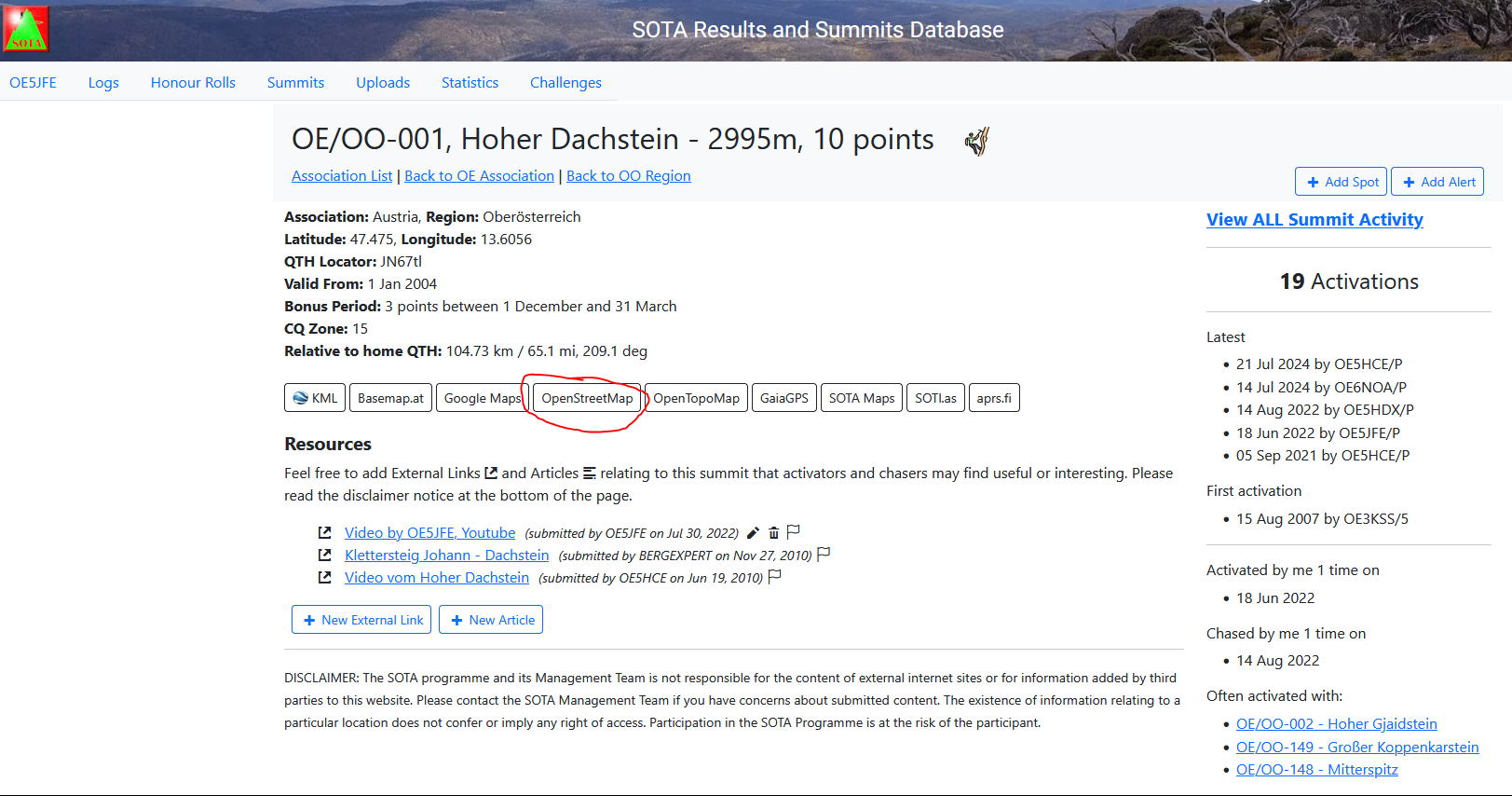
Indeed it opens the last seen map segment of OSM instead of the usual zoom in.
The button for OpenTopoMap works fine.
I guess something for Andrew @VK3ARR to investigate?
73 Joe
1 Like
Yes, I have noticed the same issue. The map that pulls up seems to be the one that was last accessed. All of the other mapping functions are working correctly for me. I am with you John that this is a feature that I find useful. - Don AC7P
1 Like
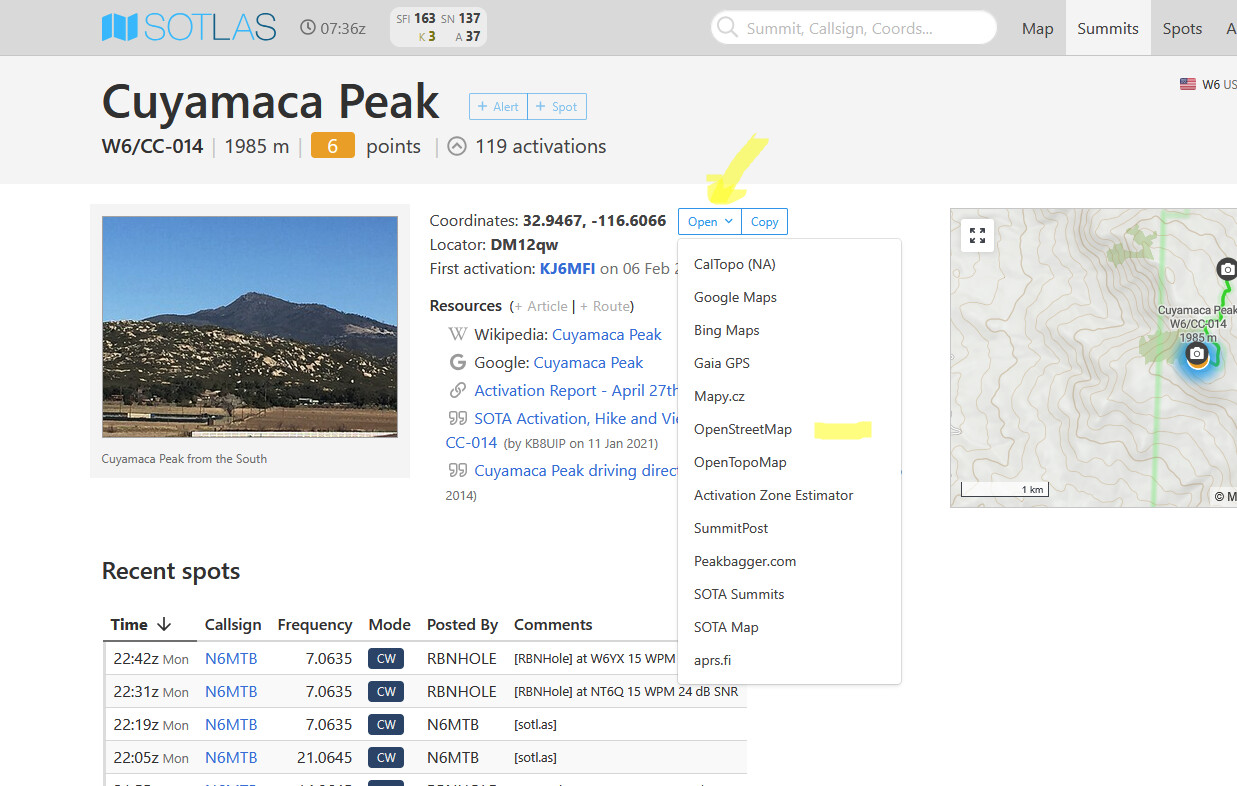
My normal operation now is to use Sotl.as and use the link to Google maps for routing and Google Streetview for parking. For the UK I use my paid for government mapping for the details off-road routing.
2 Likes
Mapy.cz on Sotl.as is also usefull here ![]()
I took a look at Sotl.as, it looks OK. I see what looks like county lines
on it but no names. I like the street map because it shows county lines with names of the counties. Much easier to find that way. Don’t know why I do it but I do. Already worked all the counties twice, but not with SOTA QSOs.
I’ll push a fix shortly. Using Sotl.as, as great as it is, doesn’t fix the problem with the OSM button but who’d expect useful commentary on a bug report in the Internet era?
1 Like
Building now.
1 Like
And ironically also has the issue with its OSM links ![]() (pull request already sent to Manuel)
(pull request already sent to Manuel)
2 Likes
Well, it’s fixed now, thanks to U VK3ARR. THe magic never ends!
73,
K6YK
1 Like
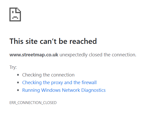
Just found this old thread. Street map seems to have disappeared altogether - anyone know what has happened? I found it useful for local navigating on my bike as well as planning holidays and SOTA expeditions (really the same thing! Hope someone can tell me it is being repaired.
73
Edit I shouldn’t really added this comment onto this thread as I meant Streetmap.co.uk and not the Open Street Map button. Sorry to be confusing but I think you all realised what I meant in the end. What can we use instead - especially for printing off activation maps?
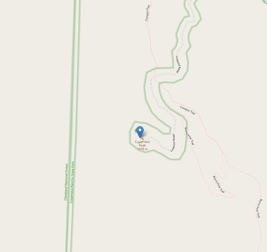
I’ve just tried Open Street Map for my local summit G/NP-028 and it works as does the Topo Map. Unfortunately Bing no longer brings up the OS map.
Hi Vicki,
I’m getting this too
It’s been unavailable for about a week I think?
I used to use it for online access to OS Maps after they disappeared from Bing Maps.
73
Gerald
1 Like
streetmap.co.uk and Open Street Map are different things.
I’ve been using streetmap.co.uk since Bing stopped showing OS maps. I’ve also noticed it’s disappeared. Also, don’t go to streetmaps co uk as it gives you a load of scam tech support popups, as my daughter discovered.
2 Likes
Yep… I agree.
I am beginning to think they have gone bust. Advertising revenue not keeping up with costs I suspect. They have been around a very long time. I was using the OS Mapping on this website maybe 15, even 20 years ago? Unless my memory is playing tricks with me.
1 Like
ISTR people saying they had got hires OS maps from them around 2010-2012 vintage.
1 Like
That makes sense because it was still showing two masts near the summit of G/NP-028 when there has been only one since about 2013.
2 Likes