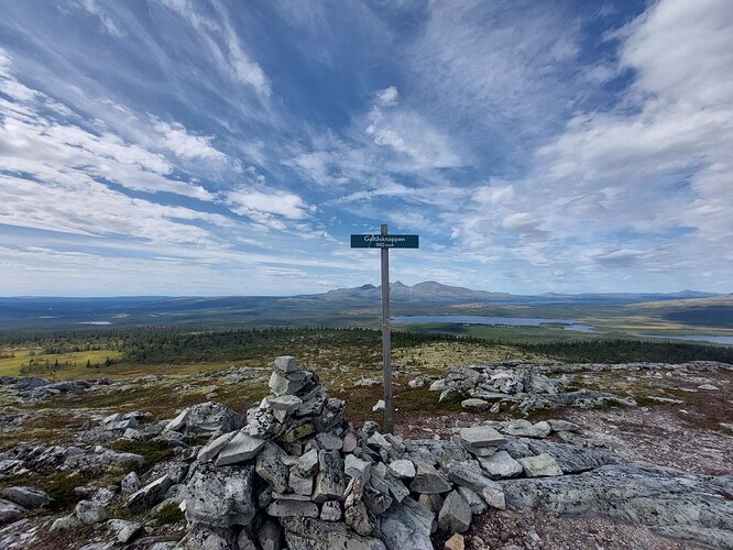
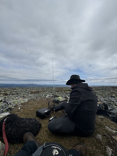
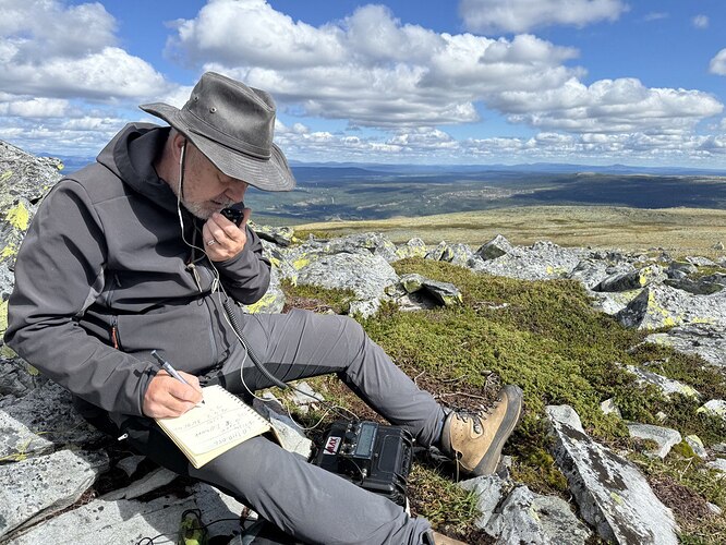
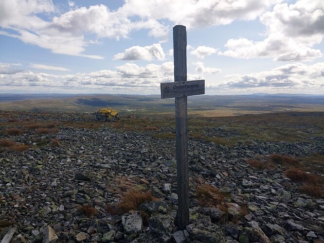
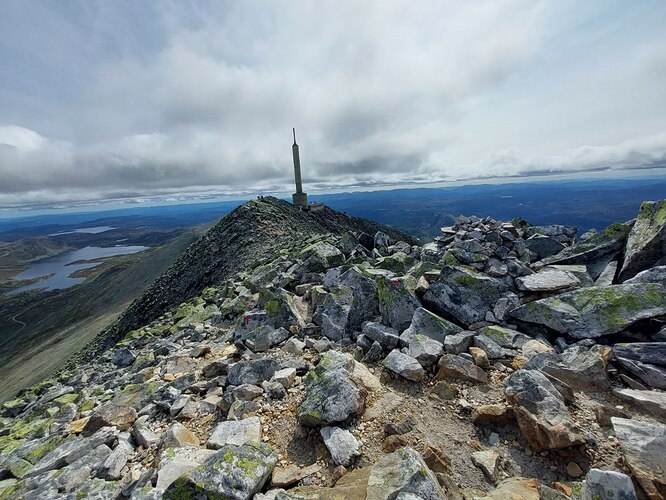
Anyone who looks at the photos of the summits in Norway on sotl.as has the impression “I’ve been there before.” We were on 5. (Many thanks to Knut LA9DSA for the information.) They all look pretty much the same (with the exception of Gaustatoppen): flat, rocky and with sparse vegetation and very windy. If it weren’t for the sign on a post with the name of the peak and the views it would be easy to be confused, seeing your holiday pictures.
Nevertheless, it is a worthwhile undertaking to do SOTA in Norway. We were in the region around the Isteren Lake and then in Telemark. Even if the peaks are similar, the way up is always different and unique.
So the path to our first peak, Galtåsknappen (LA/HM-065), led through low forest, like something out of a fairy tale with dwarves and trolls.
The Tverrfjellet (LA/HM-055), on the other hand, is much more alpine. It goes over several steps with scree to the summit.
The trail to Kvitvola, Nordre (LA/HM-056) starts at the end of a toll road above the tree line.
But by far our favorite hike was the one to Østerhogna or Härjehogna (LA/HM-233). It goes through swampy forest, then through tundra-like terrain and finally up to the summit. The trail is a narrow path, well marked by posts, which also mark the border between Norway and Sweden. The view from the summit is incredible over the southernmost wilderness in Europe - towards the Rogen area in Sweden.
Finally, on the last tour - on Gaustatoppen (LA/TM-001) - we were very lucky. We climbed the highest mountain in Telemark on the only sunny day in at least a week. We then went down on the railway built inside the mountain during the Cold War.
SOTA in Norway doesn’t score many points - compared to DM/BW or FL/VO for example - but the scenery here makes hiking a unique experience. We’ll definitely come back. Attention Knut: We’ll contact you again ![]() .
.
