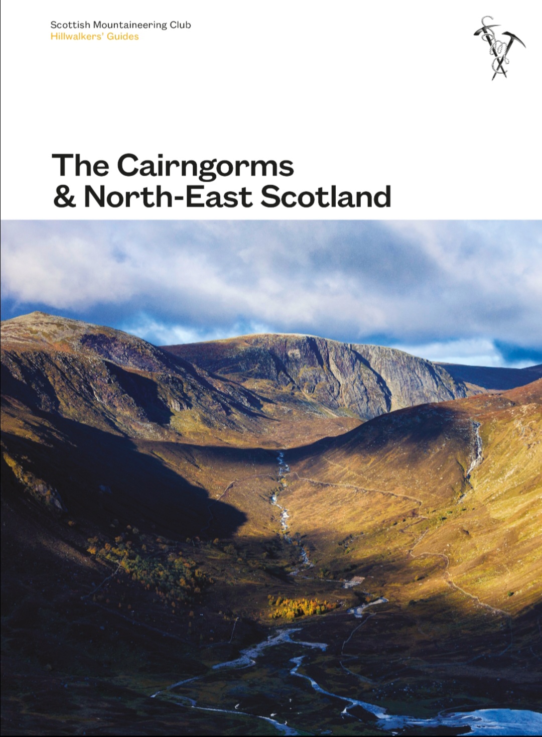
It has details of almost every hill in NE Scotland. Pretty much from the Angus ones all the way up the east side of the A9 to Inverness and across Moray, Banff-shire and Aberdeenshire. It is beautifully illustrated. From a SOTA point of view, that’s almost every GM/ES summit and also a chunk of GM/CS.
Not cheap, but worth it. Would have made life easier if I’d had it before embarking in my GM/ES Compleation (sic) mission.
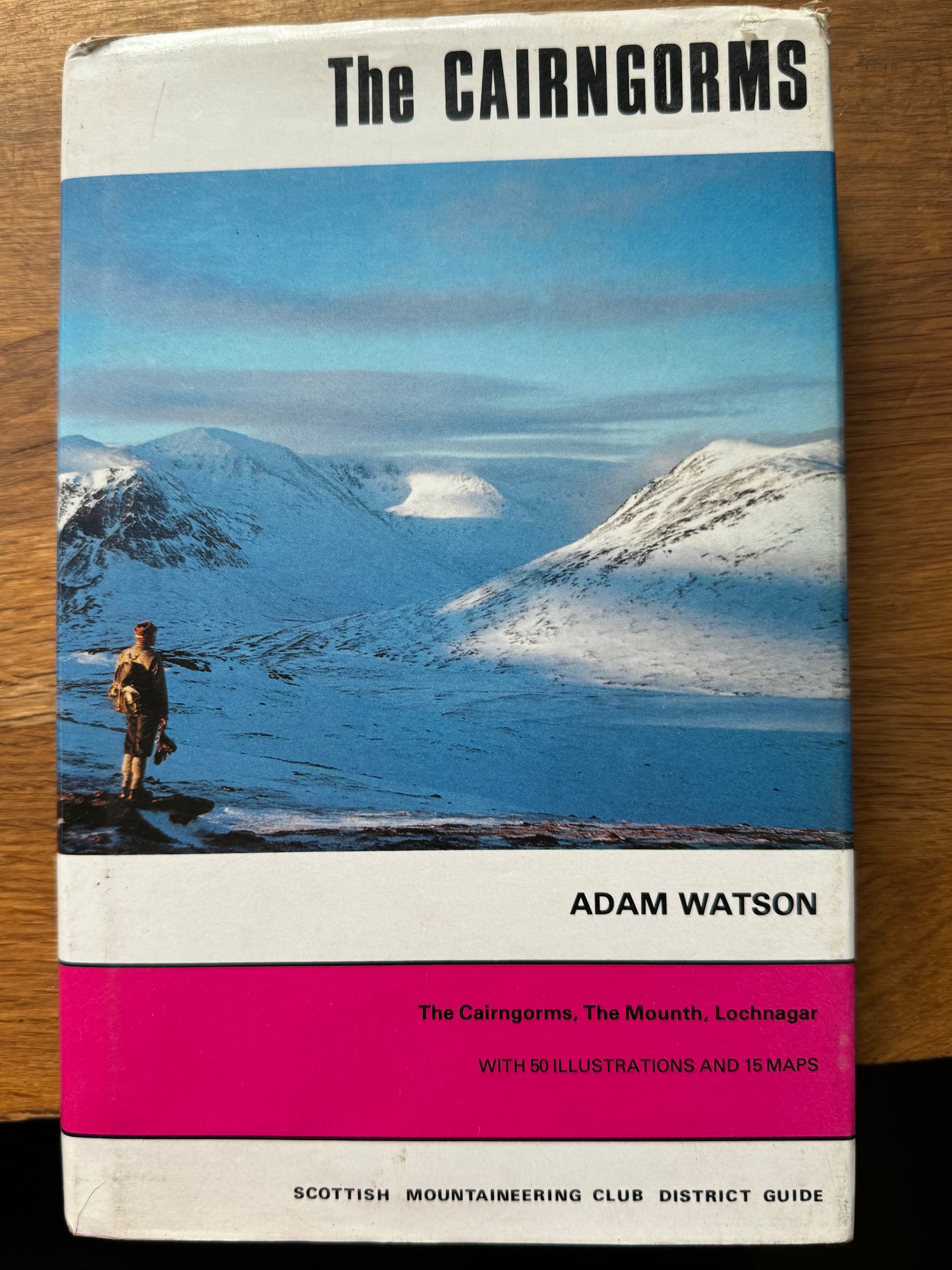
I think I must have the somewhat older version, with bw pictures of mountaineering types in tweed. It was printed in 1986 but looking at the information was updated in 1975. Still most of the mountains are the same although access arrangements have improved since then!
Actually it is time I stopped looking at the pictures and got up some of the (easier) hills in Cairngorms again!|
I was just looking at my 1986 Munros guide, which was well used BC (Before Children…). It has quite a few ticks (Memory is a funny thing - I thought I was around 100, but it seems it was nearer 70) and dates in it of when they were climbed, but I’m afraid to say only a single one (GM/SI-003) climbed since I started SOTA. I found it excellent - and it is quite good for memories too…
Correct. However, access, parking, routes, purpose built paths, afforestation, deforestation, wind farms, new hydros and even new roads and railways make your 1974 books best enjoyed as historical items.
I have the 1999 edition. I’ve done about 190 Munros then I got married and had kids. Maybe I’ll finish them one day, all as SOTA activations of course.
I’ve just put an update on the summit page for Trahenna Hill GM/SS-143. There is considerable new forest planting taking place over an extensive area. Fine that’s no problem and there will be firebreaks to make your way through. The bigly issue is the extensive new deer fence that has been erected and that there are poles in place without fencing wires yet for lots more new fencing. Yes there are stiles and gates and none I saw are dog friendly.
It’s why old maps and guide books do go out of date.
It should be realised that by the time that they are distributed guidebooks are already out of date. The process of gathering information can take a long time, writing and editing the book takes more time, then the printing and distribution adds to this. Meanwhile the changes to the countryside continue. The shape of the summit rarely changes, the eye of experience will see the likely best ascent routes, but the countryside is in a constant state of flux. A guidebook does just what the title says, it offers guidance - but not certainty. This is why the SOTA summit pages are so important, they give the most up-to-date information, but that information is still subject to change. It is important that updates like the one made by Andy yesterday should be made whenever an activator finds a change on the ground.