It is 33 miles between Pleasant Pond W1/AM-085 and the next SOTA summit at mile 166 but it is the first 10 pointer after Mt. Katahdin. So, we wont be hearing from Scott for a few days. The next 4 summits are all ten pointers (4000 ft peaks) and they are close together (within about 17 miles). Stay tuned.
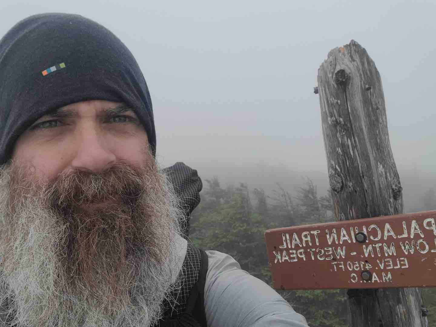
Scott N4AAJ had another great activation at the summit of West Peak on Bigelow Mtn W1/AM-003. It was cold at the peak and he had to keep his activation time short.
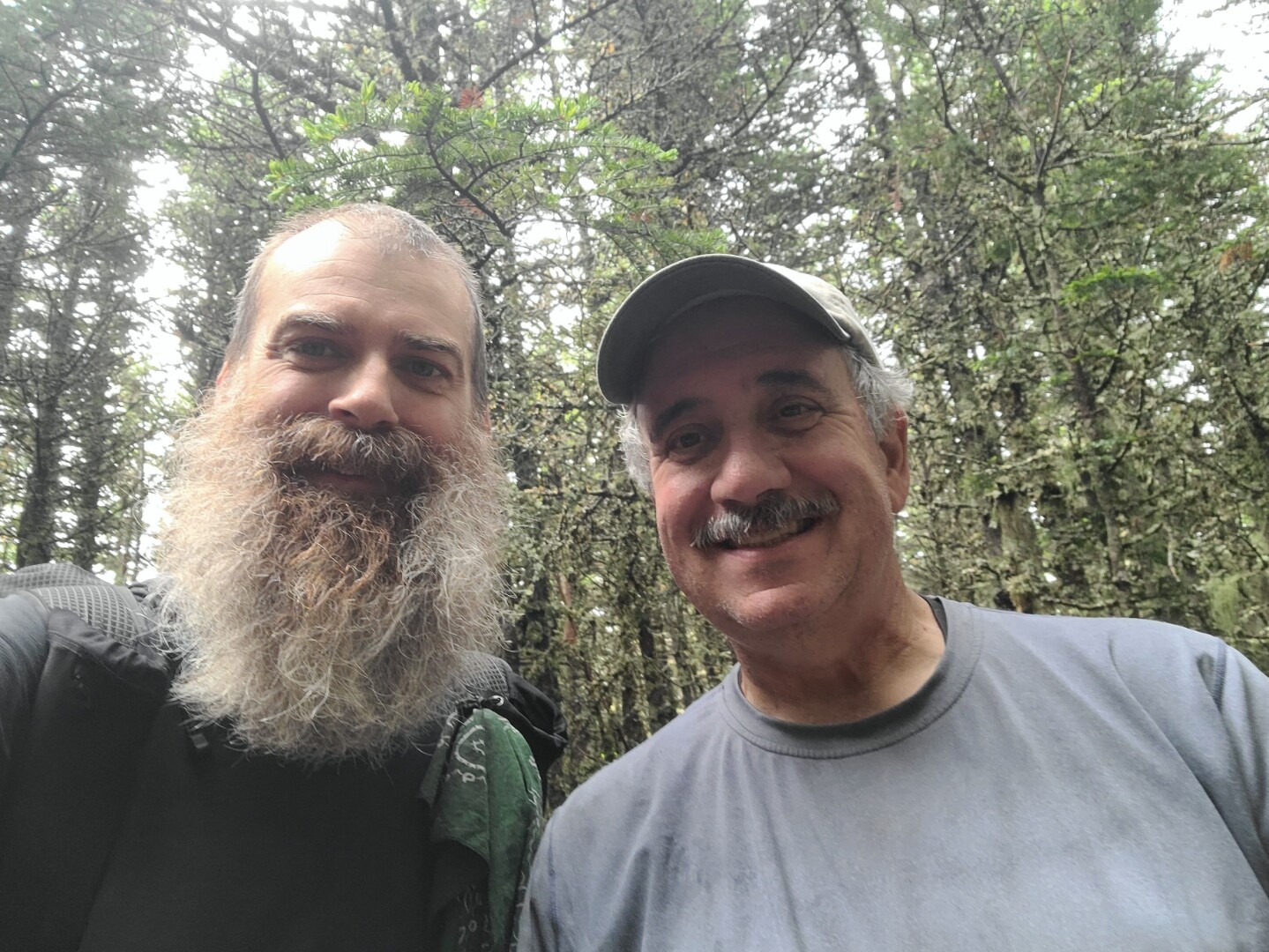
He had a good signal into NJ and Western NC and a bunch of local chasers in W4 and W2 land were able to chase him. Crocker Mtn W1/AM-056 and perhaps another is in store for Sunday - Father’s Day. Saturday will be a zero day to rest up in Stratton VT - 5 miles from the trail intersection at Rt 16. The photos are from Betsy N4AJJ
“Today is another soaker in Maine! He may activate when he’s on Crocker (maybe a bit after lunch) if conditions improve but he’s stuck for a bit after that because of a river crossing that has caused some other hikers to turn back. (S Branch Carrabassett River) River levels have gone up all night since it has rained for 24 hours so we’re not sure when the crossing will be safe and he can move on to the next summits. Sunny days are ahead though so I’ll keep you posted!
73, Betsy N4AJJ”
I have not seen any spots for Scott - which means that conditions were not conducive to activating Crocker Mountain.
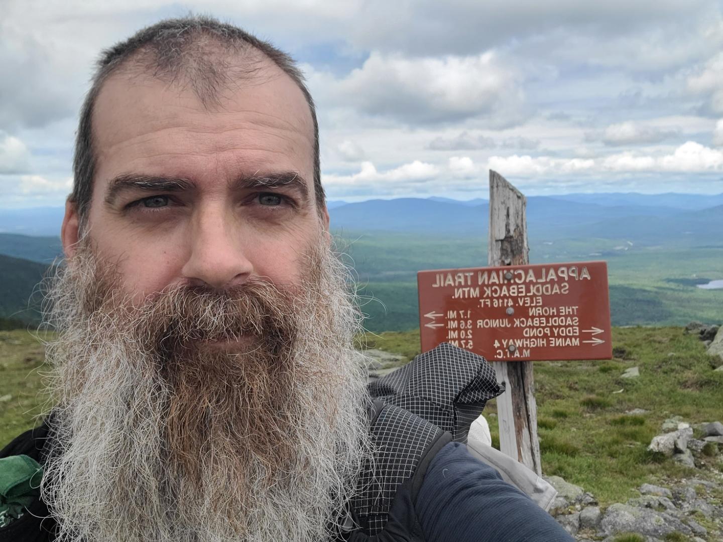
Thanks to some breaks in the rain Scott, N4AAJ, was able to activate Saddleback today. He was able to reach Mark and Jean as well as Dean. He will be heading to Rangeley tonight at a hostel then back out tomorrow morning and will cross over Houghton High Point. Depending on the daily miles he needs to make he may be able to activate that one as well!
73, Betsy N4AJJ
Scott has crossed over into New Hampshire and closing in on mile 200. The first 1100 miles has 392 summit points available of which Scott has already completed 34 summit points. The southern Appalachian range below Harpers Ferry in Virginia has the lion’s share of the points (848).
He’s at mile 220 now but New Hampshire isn’t until 282 so he’s got a few more days until he’s there. He will hike another two days and may zero in Andover, Maine where his new phone awaits!
I’ll keep updating as I get solid info. Trail conditions really dictate his activations as well as being able to stop for an hour on each peak and still make the miles to his next food resupply in time.
Thanks!
73, Betsy N4AJJ
This is really neat to follow. Scott called me on 15m yesterday for a S2S here in the Idaho panhandle. He was on W1/AM-290 Spaulding Mt. Awesome to be part of the experience.
Eventually. I went through the trouble of learning it a couple years ago, but frankly I find using it tedious like using SMS excessively. However, the plan is to give it another go once I hit MG next Spring in order to slow down a bit.
You are right - he is still in Maine. It looks like Mt. Success W1/HA-142 is the first SOTA summit past the New Hampshire line. It is a good thing his new phone is coming.
Geoff - Panhandle refers to the way a state looks on a map. Idaho has a narrow pointed section on the north and a much wider section on the south. So think “frying pan” shape with the narrow section being the handle of the pan. Several other states are said to also have panhandles, including Florida, Texas, and (much less obvious) West Virginia. 73, Don AC7P, Texas
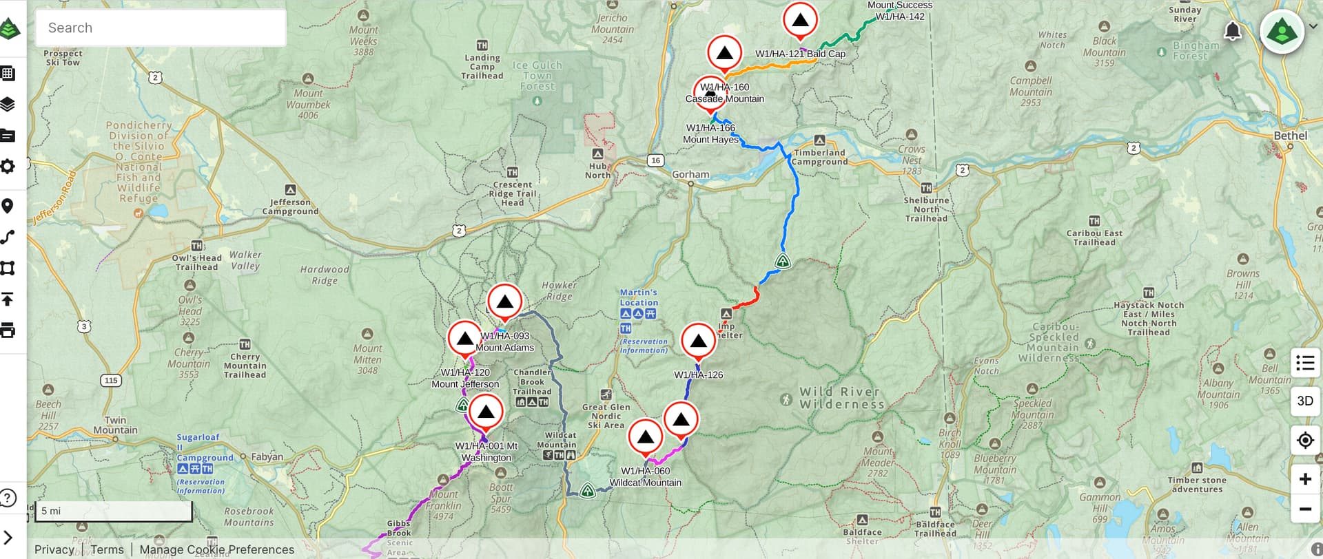
N4AAJ has reached Mile point 272 and has now reached one of the most rugged terrain in the White Mountains of New Hampshire which includes the "The Presidentials - Mt Adams, Mt Washington, Mt Jefferson, Mount Hayes etc) and includes a string of 11 consecutive 10 pointers starting from Mount Moriah over a distance of about 70 miles.
The terrain will be difficult and winds are bound to be high. As reported by his XYL Betsy N4AJJ “There is a forecast of rain and storms everyday for the next week so that won’t help activations. He may or may not be able to stop at some of the peaks just for safety reasons. A northbound hiker told him they had severe winds up there when he crossed so I’m sure that won’t be conducive to activating. He doesn’t have good service on his phone (new phone though!) as he’s dropping today from the Mahoosuc Arm to the Notch but there is a summit tomorrow he may be able to activate. He’s trying to stick with a small group of hikers through this section for safety as well so he’s skipped a couple of activations for that reason as well just to not get separated. Thanks for all the chasing! - Betsy N4AJJ”
Thanks for the chasing today! He was excited the weather has cleared and he was able to activate Wildcat. He may have made an error on the ref but it’s W1/HA-060. He was excited to meet Fred, WX1S, on the summit who had just finished an activation. Fred knew who he was when he ran into him! So glad Fred still had his wire out and Scott was near him and noticed!
He crosses Mt. Washington tomorrow! Here’s hoping for the time to activate. Weather is looking good!
73, Betsy N4AJJ