Motivation
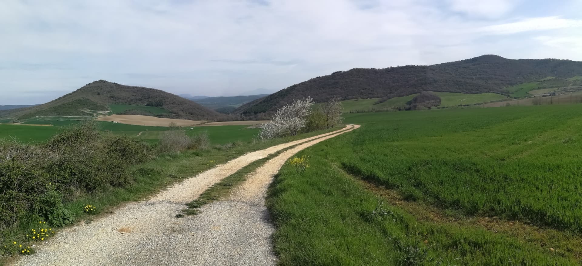
Last year I activated Mt. Gongolatz NV-139, and I saw just in front of it the neighbor Mt. Legin waiting for me. See them both in this picture (left Mt. Legin, right Mt. Gongolatz):
This year I found a chance to pay a visit and get another new one.
Activation date: June 8th 2024.
Driving directions
You can drive and park right at the deviation of the little village of Ardanaz de Izagaondoa.
There’s a dirt road facing this mountain where you can park and start the hike.
The hike
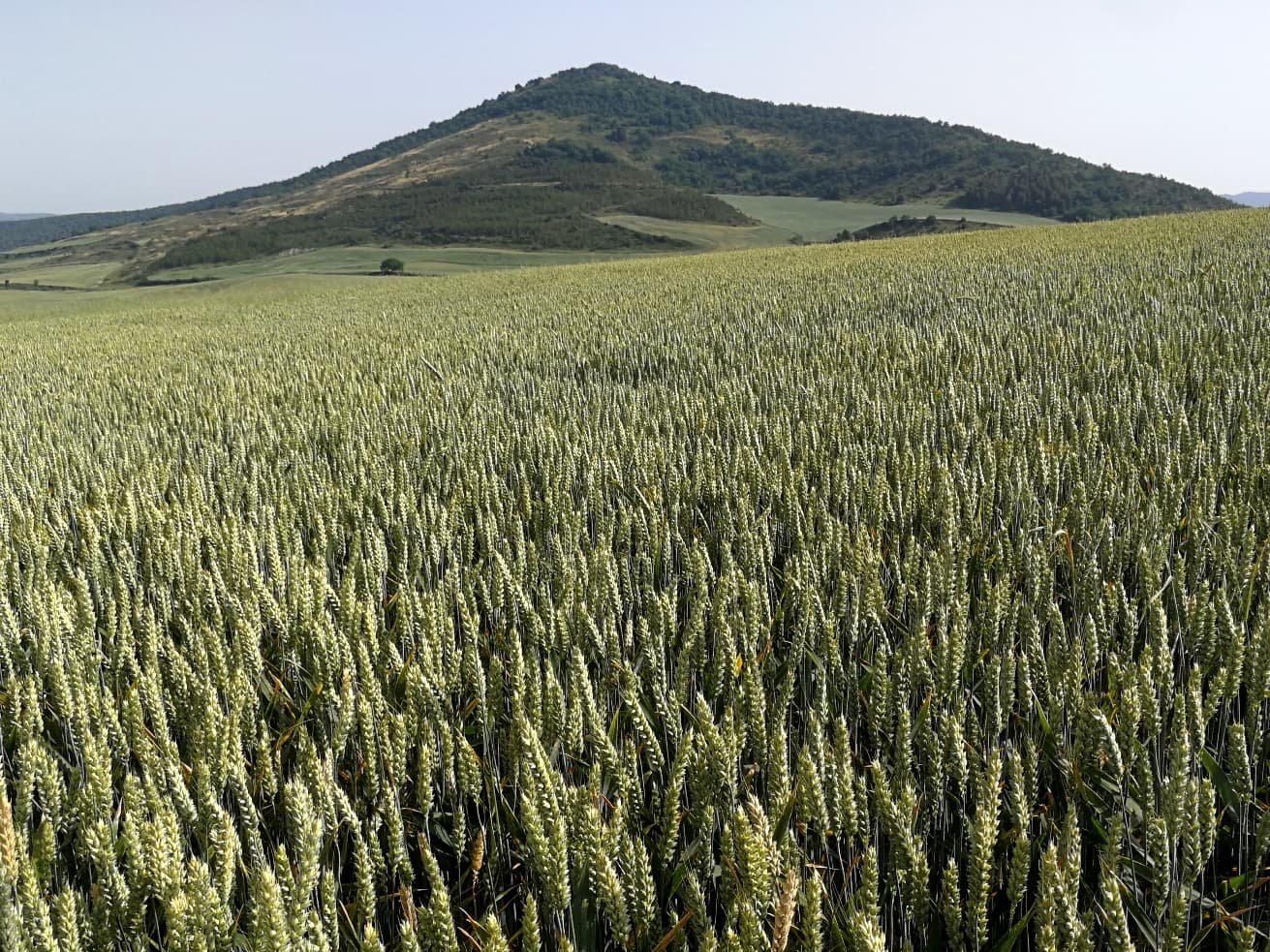
Right at this time all the wheat fields have grown and are waiting to get dry for the harvest.
I must say these fields didn’t cope too much for this hike. I didn’t choose the right time for the ascent as you will see later…
I just had a GPS track that was very useful to navigate up to the top.
- Trail length: 3,2 km (one way)
- Mountain elevation: 783 m
- Elevation gain: 215 m
- Walking time: about 1 hour 15 minutes

As I said the route starts on a dirt road. I wouldn’t advise to drive this one due to lots of high bushes obstacling the path for regular vehicles.
I followed the path enjoing the views over the wheat fields:
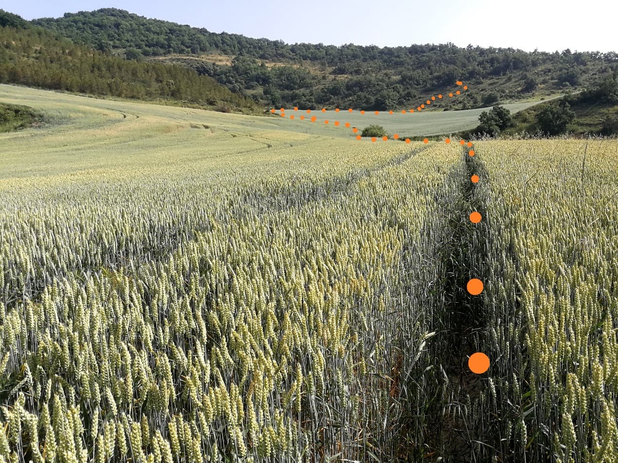
At one point, middle of the track, the GPS showed a turn to approach the basement. But the track was really entering into the wheat, what?!
I took a slight trace along the field not to damage the crop, but after a while the thing became complicated as the trace dissapeared!
Walking by the edge wasn’t possible as the wild bushes were even worse, so I proceeded with calm and slowly. It took me half an hour to cross it completey and ended with my shoes full of dirt and spikes. This picture shows the way I followed to cross this big field until I overcame it:
Definitely, not the rigth time to hike there!
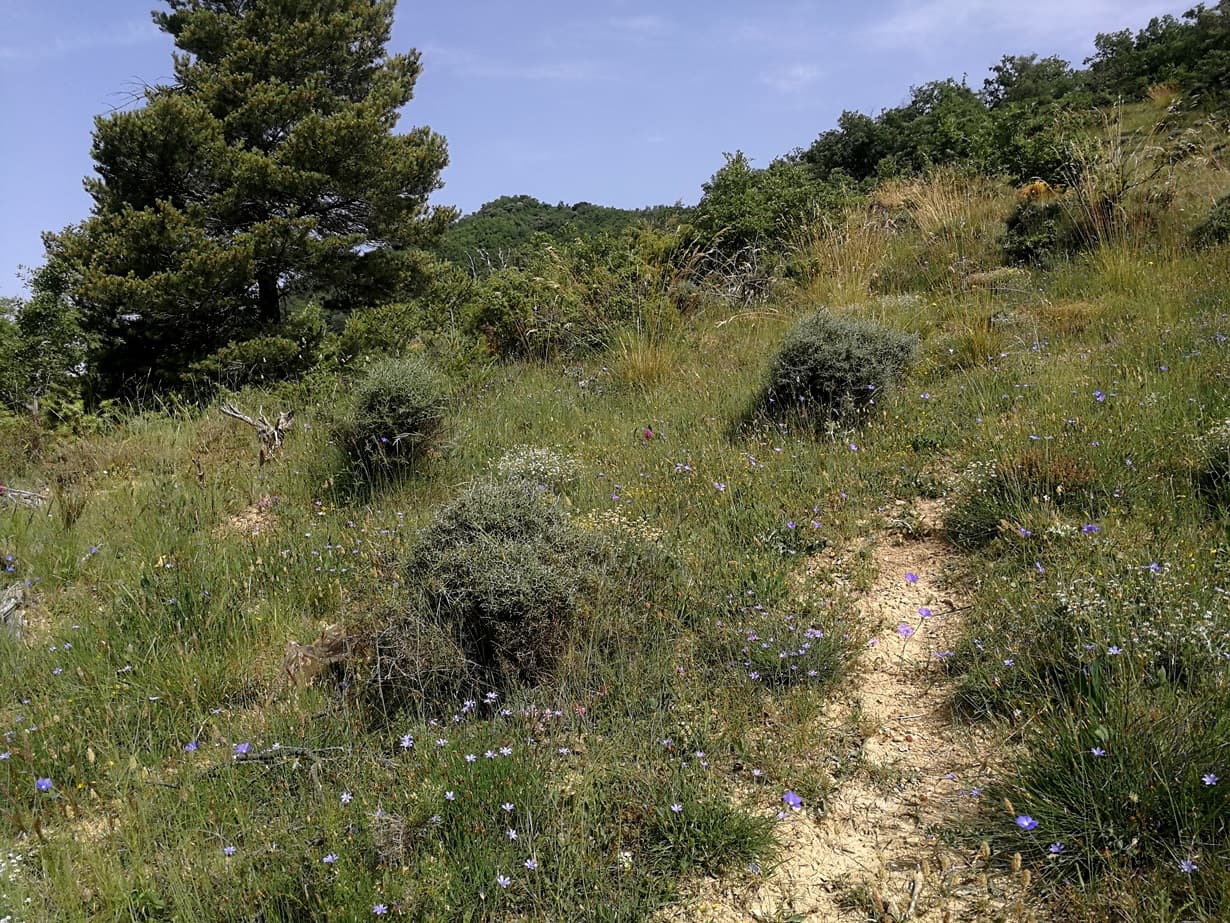
When I exit the field I found the start of a narrow path that soon ascended over the ridge.
I finally reached the summit.
This one is very small and densely surrounded by trees. There remains the basement of an ancient tower, dated back in 924 B.C.
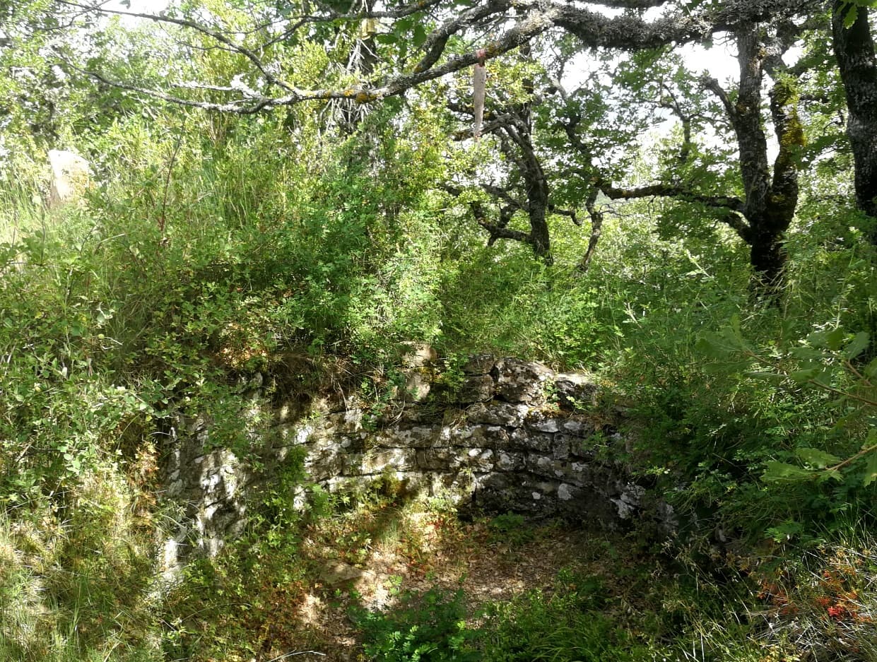
The castle who completed the tower was destroyed in a battle by the middle age. This one is the oldest documented castle in Navarra.
The activation
Activating at the very summit was rather difficult due to those obstacling trees all over:
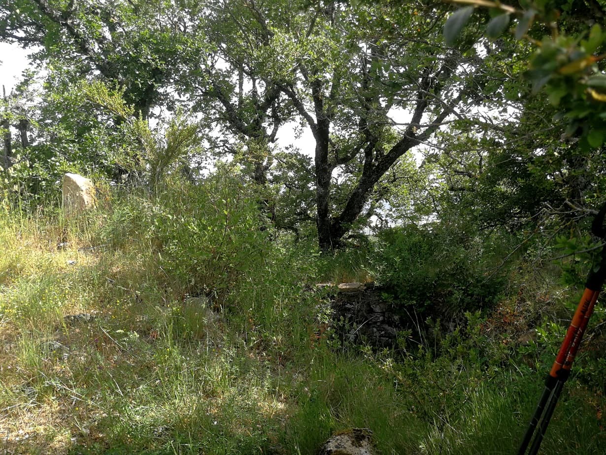
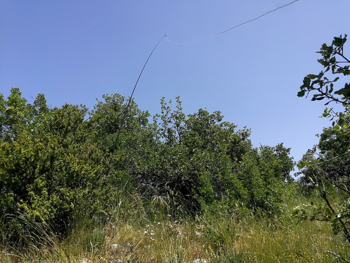
I stepped out a few meters and found a clear spot on a bent terrain, where I managed to deploy my 14m long trapped EFHW antenna.
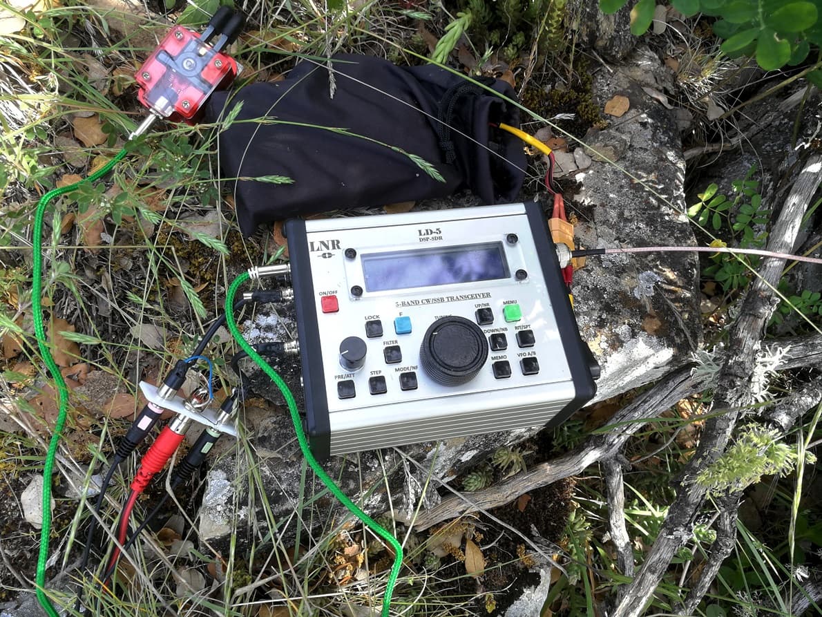
My gear: LNR LD-5rig + 3x21700 LiIon + headset and CW paddle.
The activation went well. I ran on 14 MHz SSB / CW mainly. Logged 43 QSO and got 12 S2S, which always make me enjoy greeting many friends. My closing QSO in the log was a S2S with OK8MA, Jarek, @SP9MA, on his 14th MG activation: well done my friend.
Elena EA4DOS was kind to give me a call while she was on a POTA park.
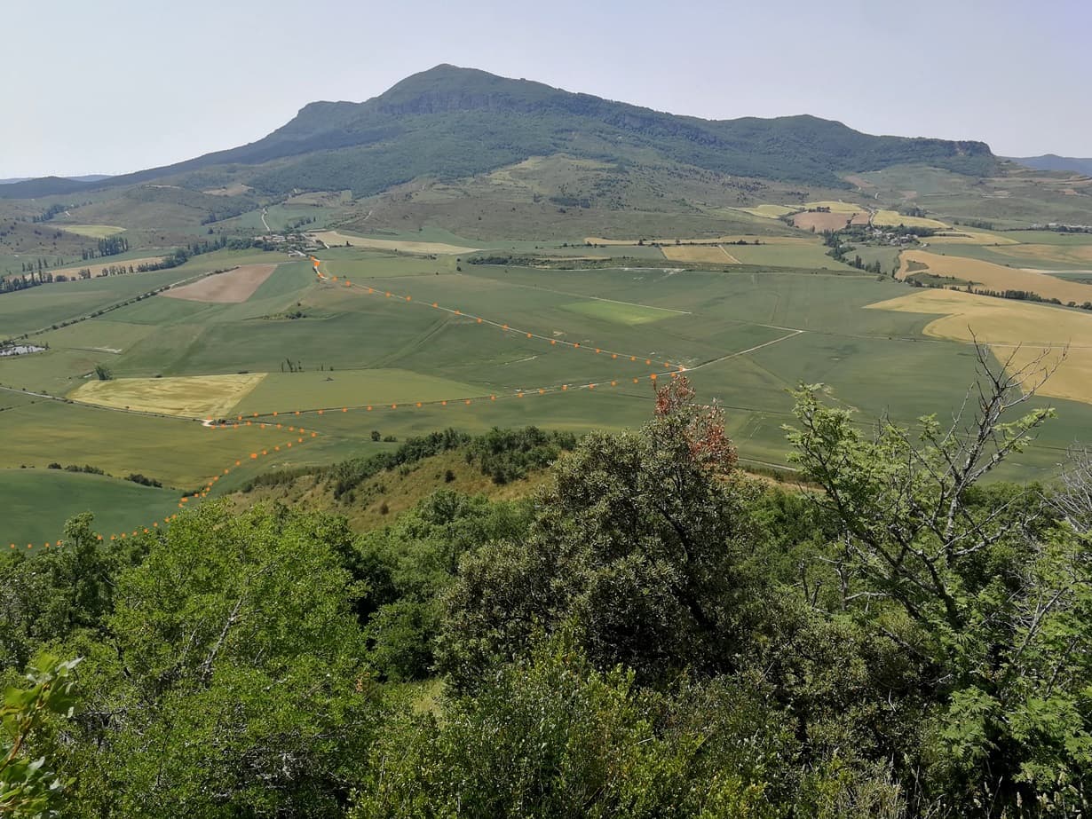
A last view from the operating point before leaving showed me the way I took and the nasty field waiting for me on my way back. In the background the high summit of Mt. Itzaga, NV-029 1359 m elevation:
No doubt this less frequently activated summit has a reason for such a low activation sum, being mine the 3rd one, right after a visit by Guru EA2IF (sk) back in 2021.
Thanks all for the QSO.
Once back home I considered baking bread with the remaining stuff on my shoes!
73 Ignacio