The sky was very grey with a temperature of 12º C this morning, but the forecast was saying we would have sunshine later, so I decided to go activate a new unique for me.
This summit had only been activated once my Santi EA2BSB (SK) in August 2013 with 4 QSOs only, so this 2nd activation today, almost 8 years later, was a new unique for most of the chasers.
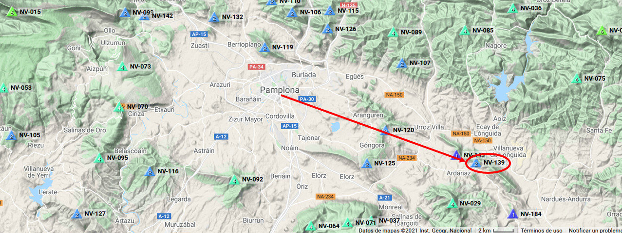
This summit, in the valley of Itzagaondoa, is only 29Km South-East of my QTH:
When I arrived to the little village of Iriso and took the dirt road to the start point, I unexpectedly found very big traffic, which forced me to park and wait:
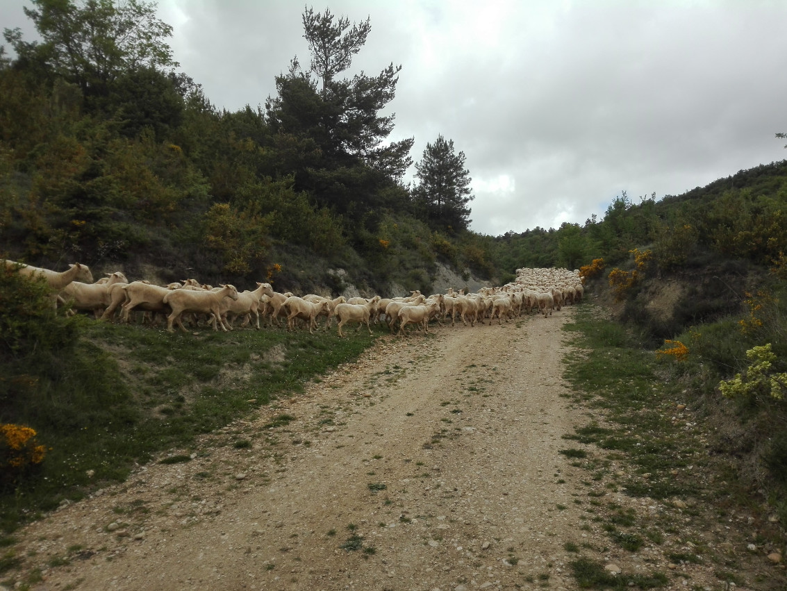
I got out of the car and had a nice chat with the shepherd, who explained me that the summit was in forest and most importantly that I could drive up more than 1Km that dirt road. A regular car might have some difficulties when having to cross the water evacuation channels crossing that dirt road, but my AWD Rodius with 185 cm ground clearance had no problems and I drove the tedious part of the dirt road.
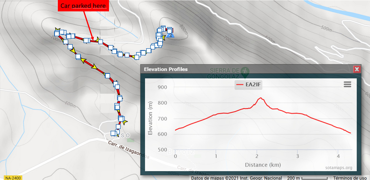
This map shows the GPS track I followed and the point where I parked my car:
After parking, I still walked for a short while the dirt road:
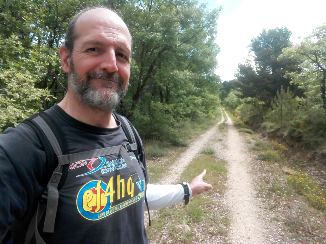
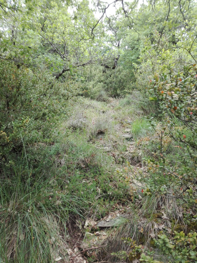
But the dirt road had to be left and the hike continued through this track:
The track was quite steep at times:
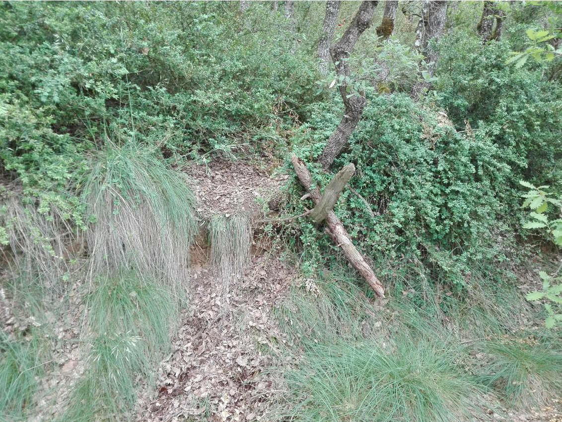
There is a difficult step to be handled with care not only on the way up but also down:
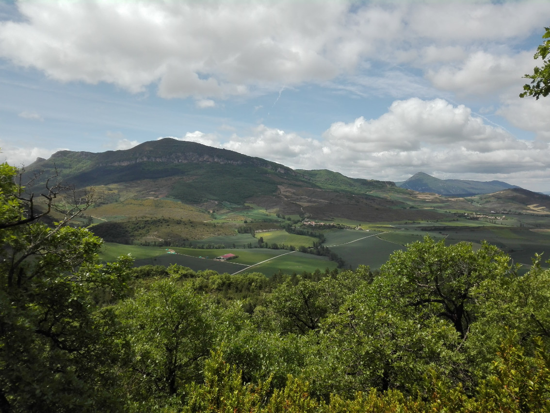
Looking back during the ascent I had a view of Itzagaondoa valley and the SOTA Mt. Itzaga EA2/NV-029.
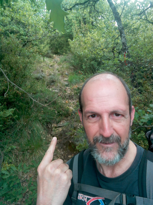
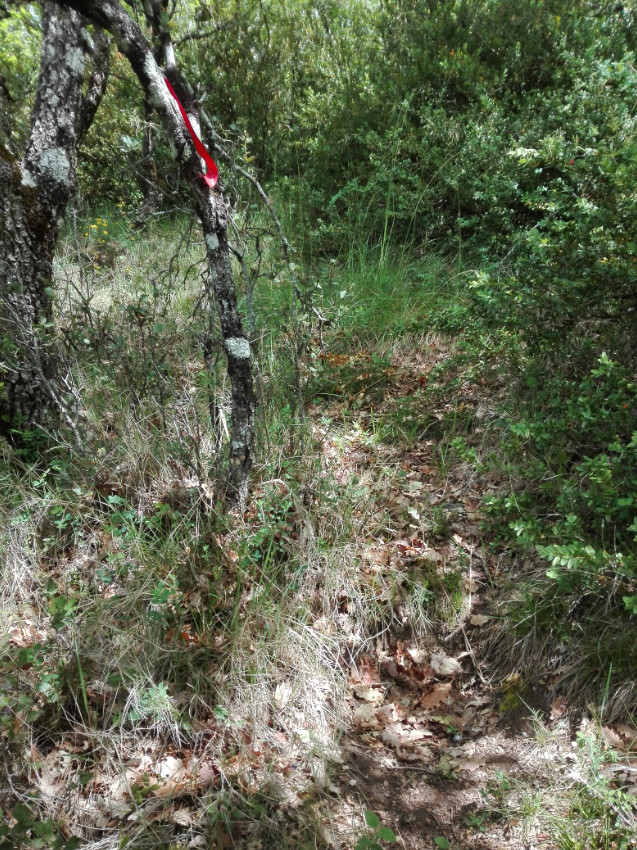
It’s not easy to follow the track but there are very helpful red cloth tapes strategically tied to branches:
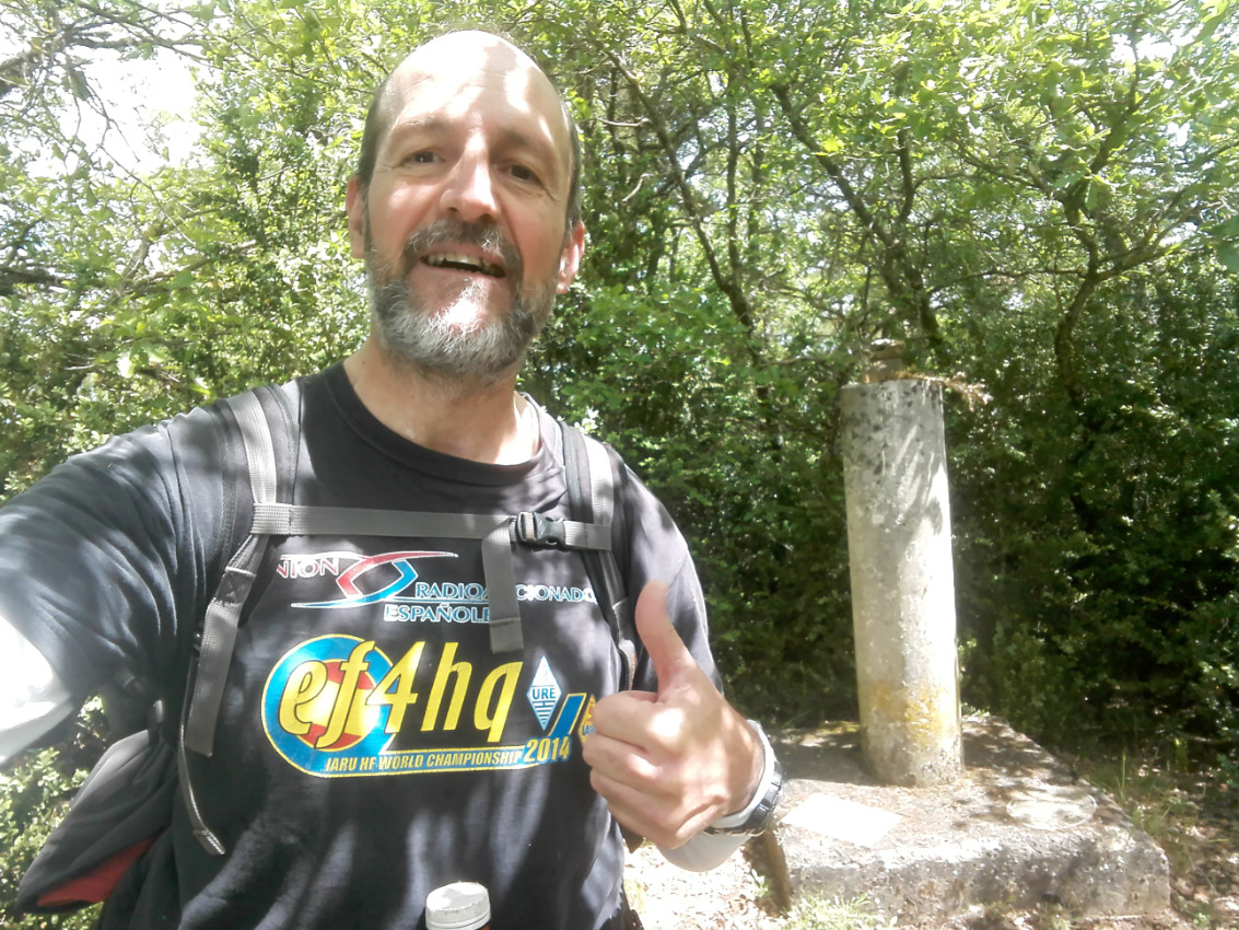
After about 30 minutes of hike, the summit was reached:
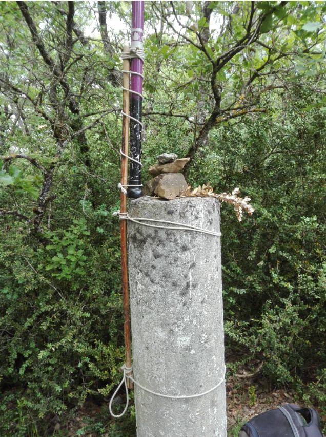
There were so many trees and bushes around the trig point that it wouldn’t be easy to extend my 14m long endfed wire, so I installed my fishing rod as high as I could on top of the trig point cylinder with the help of my walking stick and a few cords I always carry with me:
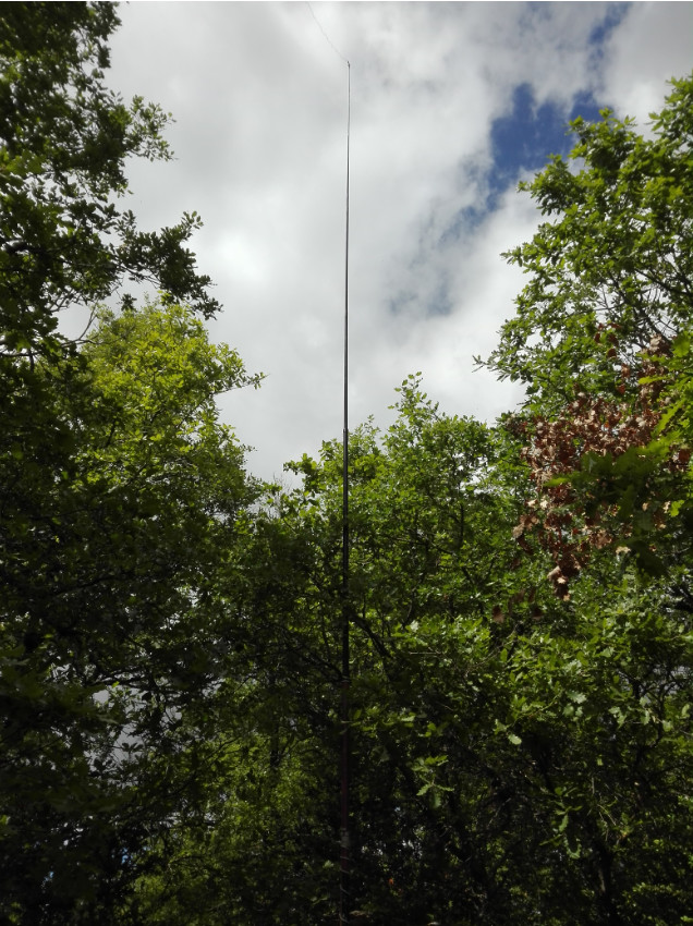
With the top end of my fishing rod about 8.5m above the summit, I managed to extend my 14m of wire as a sloper downhill towards the South side of the summit.
I finally found my operating place some 5-6 meters below the summit.
The operation went as follows:
-
30m CW: 14 QSOs, 2 of which S2S, after about 15 minutes QRV.
-
20m CW: 14 QSOs, 1 of which DX with the USA, after about 15 minutes QRV.
-
40m CW: 5 QSOs, 1 of which S2S, after about 10 minutes QRV.
-
20m SSB: 3 QSOs, 2 of which S2S, after about 20 minutes QRV.
-
20m CW: 1 S2S QSO.
-
40m SSB: 10 QSOs after about 10 minutes QRV.
-
10m CW: 4 QSOs after about 25 minutes QRV. I made a fat fingers mistake here and selfspotted as in DV mode instead of CW.
-
10m SSB: 1 QSO.
-
15m CW: 2 QSOs after about 15 minutes QRV.
-
30m CW: 1 S2S QSO.
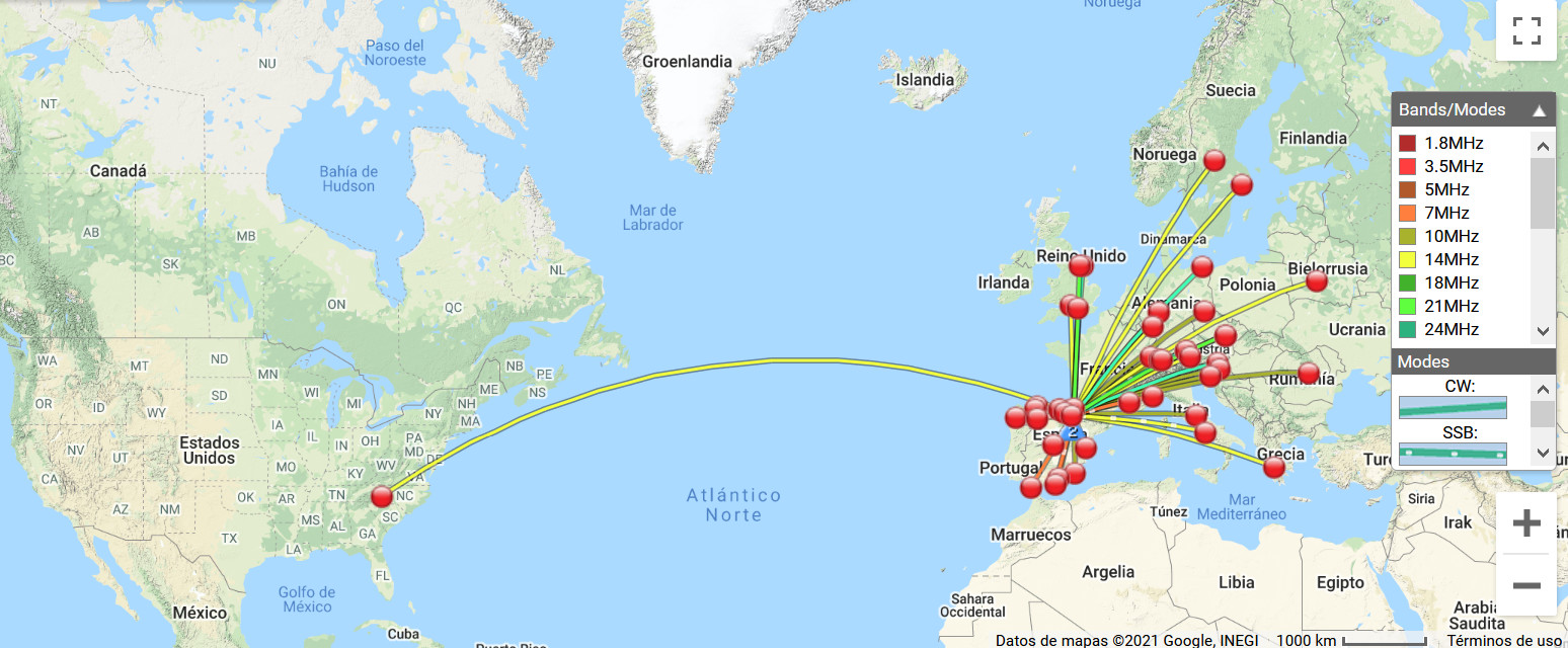
All in all, 55 QSOs in the log, 7 of which S2S and 1 DX USA after 2h50 minutes QRV.
You can see it on this map:
Descent was a bit tricky and despite my GPS and the red cloth tapes here and there, I still had to correct some times my navigating errors to find and take the right track.
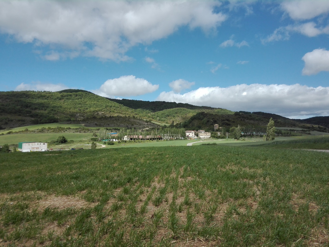
On my way back home, I stopped to look back and take this picture of the summit:
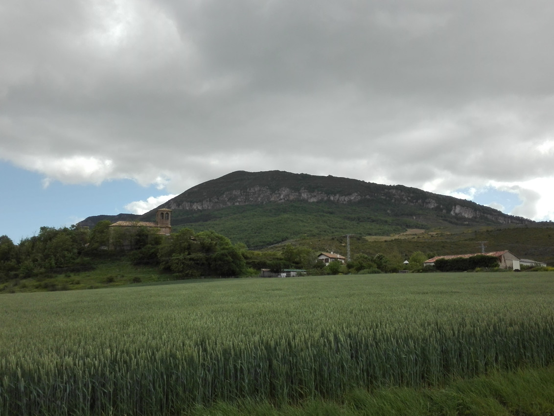
I also took this picture of the SOTA Itzaga EA2/NV-029 and the village of Ardanaz at its base.
It was, as usual, a very nice time out in the mountain and on the air.
Thanks dear chasers for your calls and QSOs. I’ll be looking forward to copying you all again soon from a summit.
73,
Guru