Preamble
I’ve been meaning to revisit Rhayader after a trip out last October to visit Aberystwyth to do Ras Dau Gopa, with the intention to get some MW activations ticked off. The last time I had a blast, including activating GW/MW-014 and working stations all the way from Worthing on the south coast to the East Riding of Yorkshire using just my FT-65 with an RH-770 telescopic, unheard of for these hills.
Since reaching my Mountain Goat, my sights have set on for more less trodden hills, and with a good forecast I knew I was in for a great day.
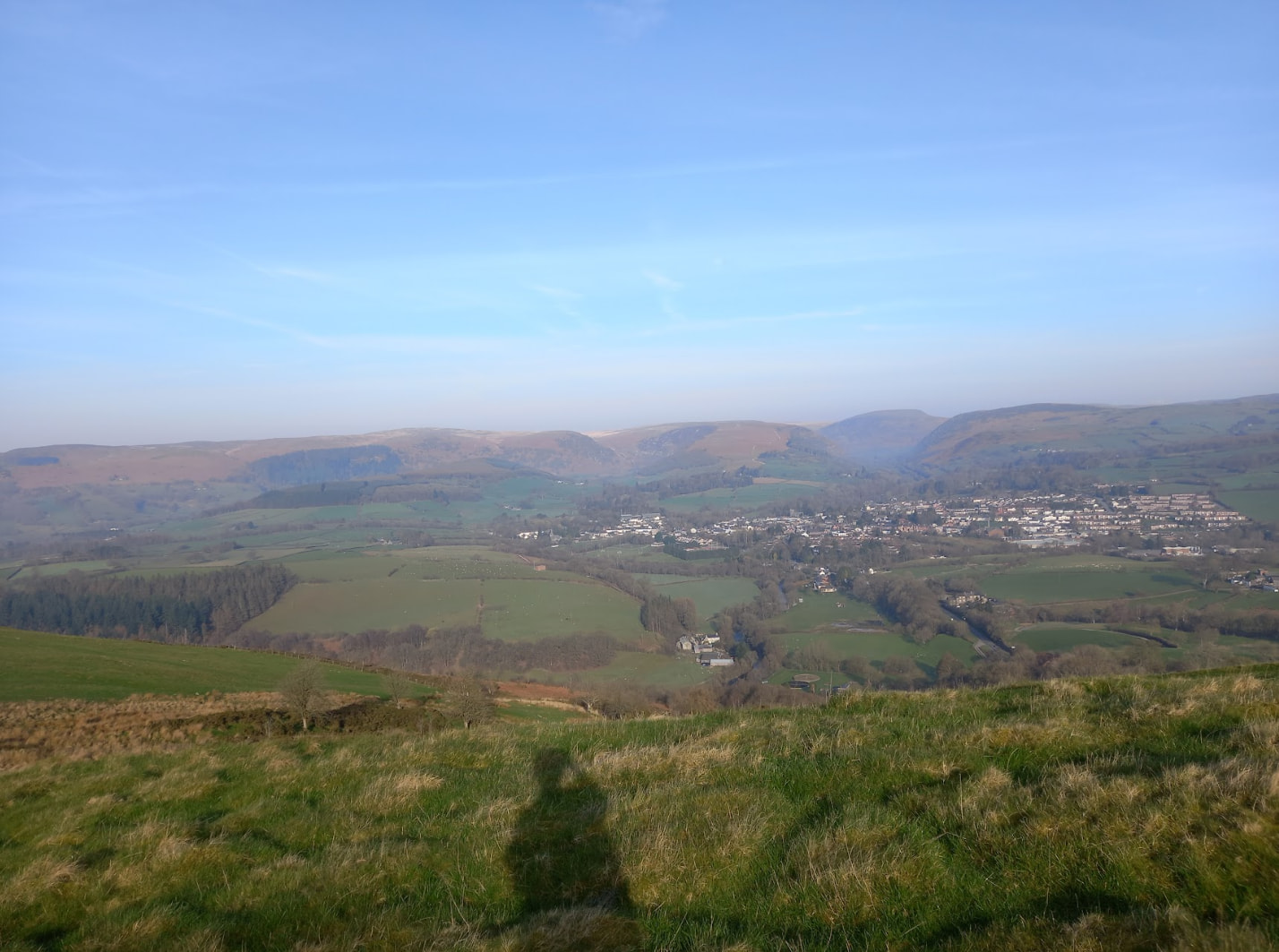
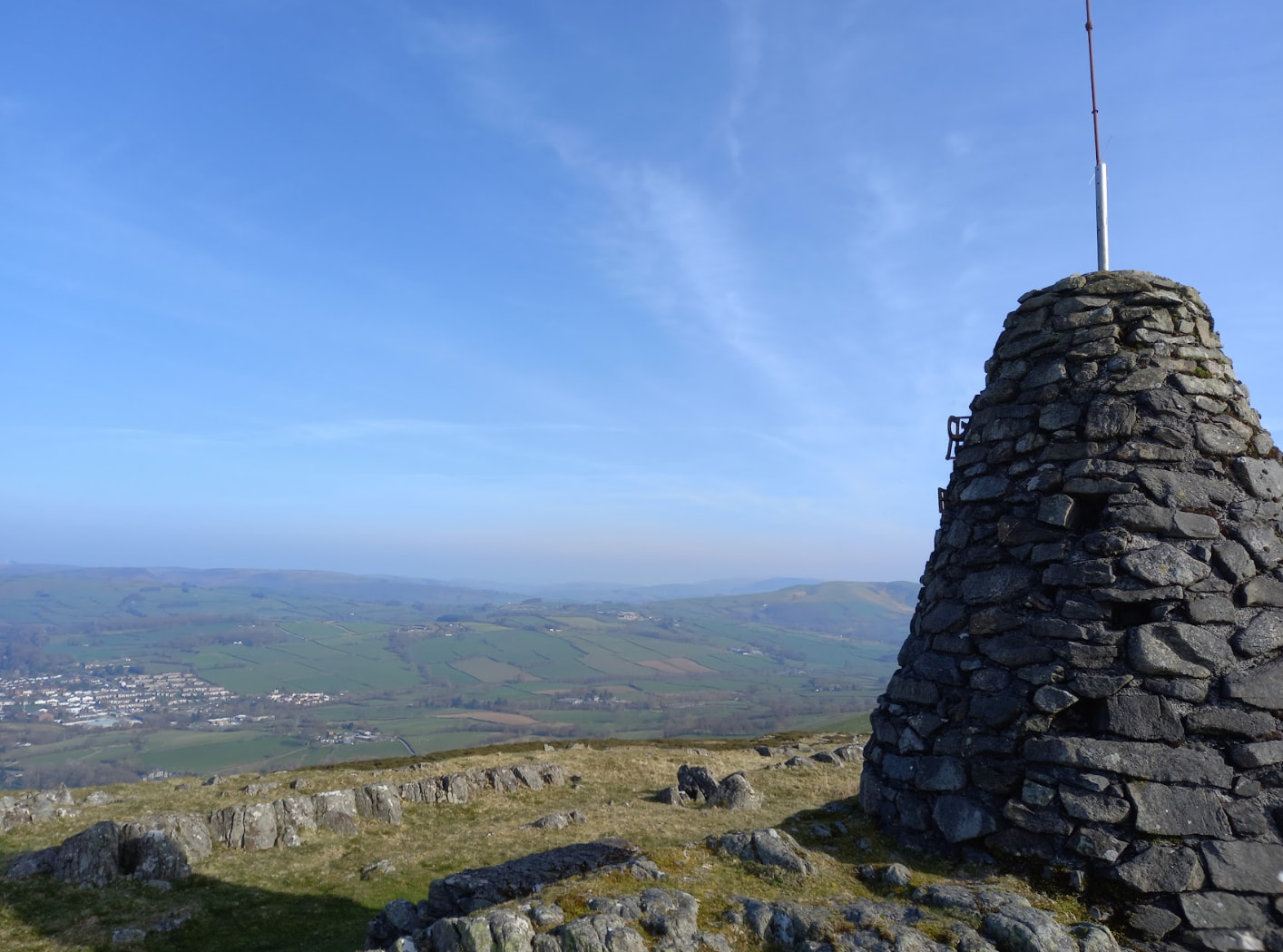
GW/MW-019 - Gwastedyn Hill
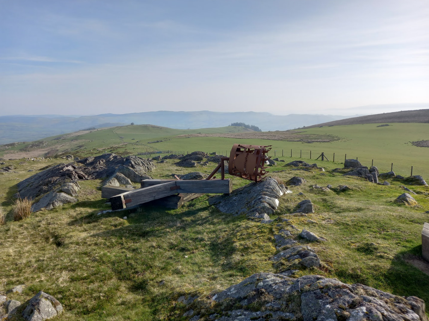
Initially, I was going to do the summits the other way around, but it made more sense in my head to go counter clockwise, especially as the layby for this first hill was on the LHS, approaching from the north side of the hill, which is a longer walk-in, but you. I got to the base of the hill at around 07:45, and after a sip of coffee I was soon up. It was a steep pull to start, but it soon petered out and was a less strenuous affair. I first visited the east top, which is the official one, and activated it with a handful of QSOs. I then went to visit the west top, which I recommend as the cairn is very interesting and also you can see the now fallen over beacon, plus on my visit there were a pair of Red Kites overhead, and the west summit offers some interesting rock formations. It is on private land, but I met a local at the summit of the west top, and he said the landowners were pretty open to people visiting the summit, with the town putting on a race up to it each year, which I am considering taking part in sometime.
Rhiw Gwraidd - GW/MW-024
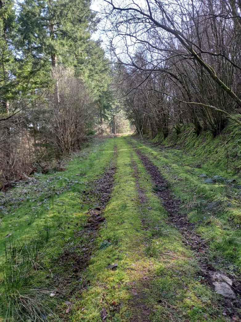
After reading some comments from MW0KXN about the south approach, and how the landowner is not keen on visitors during the lambing season, I decided to try the north approach. I parked just east of Nant-Glas at a layby next to a lane. The lane approach takes you to a woodblock, which is open access, and looking at the OS map the top end of the woodblock is in the activation zone. I decided to take this firetrack approach up.
Initially, the track was well trodden, with only the odd fallen tree. However, it soon got a bit more overgrown, so I decided to straightline it up through the trees. Despite being steep, it was not too bad, but I would not say this is a fantastic route.
I soon made it to the edge of the forest, and set up on the fence, using it to support my antenna. I made 7 QSOs on 20m, opting not to do 40m at this summit due to how my antenna was configured.
Overall, it was not the best approach, but an option during lambing season.
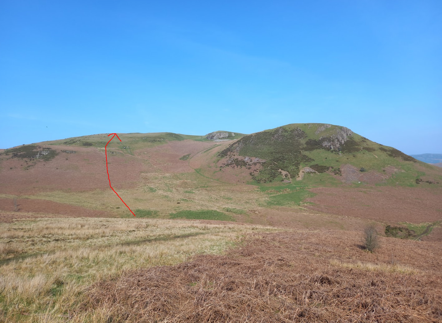
GW/MW-023 - Carneddau
After a 20 minute drive, I soon arrived at the layby as described by M0JSB. Initially, the route starts up a road, which after passing some houses then becomes a track and then eventually leads you into open access land. There is a path on the OS map, which there was no signage through a field. Luckily, the gates are openable by hand.
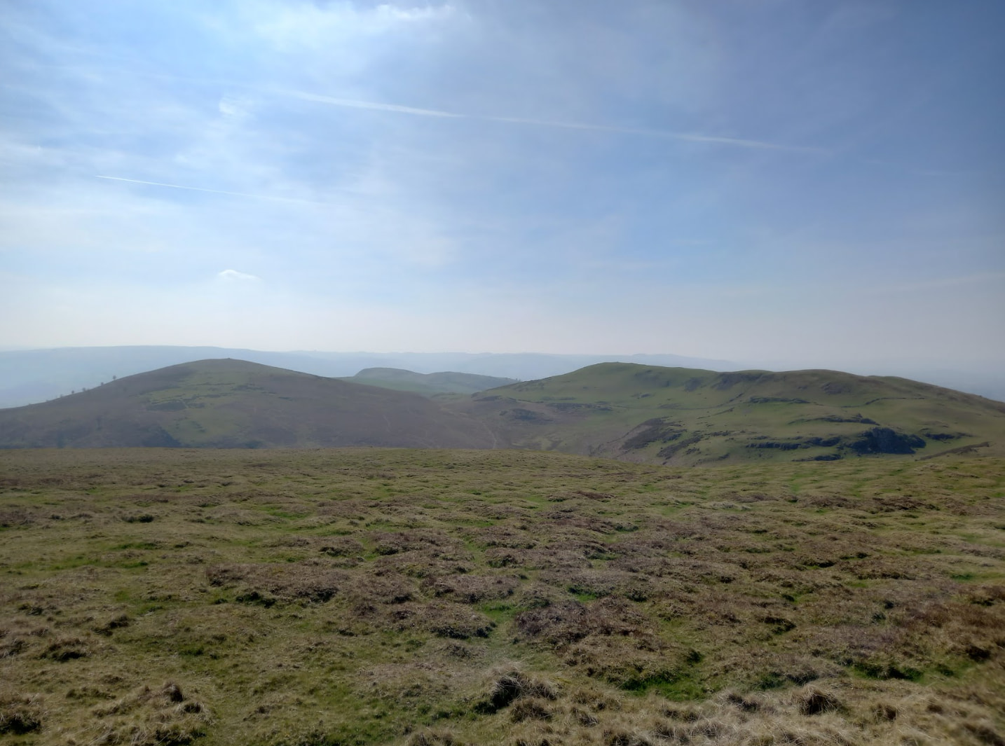
Once you are in open access land, it was a case of following paths on the ground until you get to the base of Carneddau. Careful - there are multiple summits around. The one mapped by M0JSB is the correct one, a flat plateau with no trig point. I set up on HF after trying VHF with no luck, working 14 stations. The view from the top of this one was great, especially with the other tops.
GW/MW-022 - Aberedw Hill
The parking following the last hill is half a mile up the road, where you come to a wide layby on a corner. I also took a route as described by M0JSB. I think for myself personally these longer routes are better if it means not parking on grass or verges, I had a bad experience at GW/MW-009 I don’t want to repeat!
The footpath leads past a home where I said hello to the residents and they seemed happy enough, before you go up a green lane and it gets pretty steep. Once you get to the top of the ridge, it does become a plateau and you have a pretty flat mile to walk to the summit, much needed after the last few hills that day.
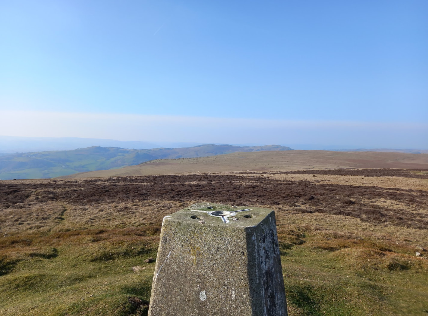
I soon set up, working on 20m, and after trying very hard to find a free frequency, 40m was just not possible with it being absolute chocka - one of my goals for this year was to get on it more, but it is definitely proving challenging. I then settled on getting a few QSOs on 20m, and hung around for a bit working some S2S’s on 20m. I did put out a few calls out on VHF, including at the end, where for the first time for this trip I had gotten a VHF QSO! I was ecstatic, VHF is my preferred method and I was missing it a bit. It was good to get a S2S with MW0WML on GW/NW-012.
I then packed away, and made my way back down. An hour drive’s back home and very happy with just the 4 points, which did take a lot of time and distance with the trip taking around 12 hours, with 22km walked and 1378m of climb. These “small” summits do really add up.
I look forward to getting some more uniques, it really is fun planning for new summits that may not be well visited.
Cheers,
Jared G5JFJ