You sound disappointed. I doubt that nationwide APRS coverage (LoRa or otherwise) is ever going to happen and I can’t think what the use case would be to justify such a massive deployment of APRS listening stations.
Your examples are based on driving a vehicle on major roads. If you wanted for friends or family to monitor your progress on a long journey, one would be better to use Google Maps ‘share your location’ feature and exploit the mobile phone network infrastructure.
Having said that, many writing on this reflector and elsewhere have been pleasantly surprised just how good the 439MHz LoRa APRS coverage is when driving about in many parts of the country despite the generally sparsely distributed iGates and digipeaters at present.
[At the risk of sounding like a broken record on this thread] We amateurs and particularly those involved in SOTA would be better focusing our efforts on encouraging folk to deploy LoRa iGates especially in or close to SOTA regions with many summits to improve coverage for our hobby.
It’s cheap and relatively easy to get involved. My total cost was about £16 (for the LILYGO TTGO LoRa32 V2.1_1.6 PCB) for the iGate board. Flashing the unit with the appropriate firmware and configuring it is made easy by user-friendly online websites. The Diamond 6/2/0.7m V2000 collinear on my bungalow chimney was previously “doing nothing but ageing” [George Harrison] almost 24/7 but is now more usefully employed as the iGate’s antenna.
Am I the only one silently screaming ‘surely a low power weak signal HF mode is the obvious answer to nationwide position reporting’. Rather than dreaming of nationwide LOS VHF/UHF networks of nodes covering the uninhabited, remote landscapes we play in.
JS8Call, you can send position reports and even spot yourself on APRS2SOTA, the only problem is it only works on Windows or Raspberry Pi, so unless you can find a Windows tablet, and they are about but being sold as 2nd hand reconditioned, do you really want to lug a laptop up a mountain? If you have an IC-705 and Windows table,t then it’s easy as there is no external modem and no cables. I’d be interested to see something practical done with a pi
I’m not disappointed, and I think you are wrong, it is all very well sticking digipeaters on the sides of SOTA summits, but the truth is they probably won’t work as you expect them, and I mean you won’t hear anybody at the summit which has happened, I noticed that there is one located literally at the bottom of a SOTA hill in an area with several digipeaters and it does not seem to pick much up. I’m not going to go on about picking sites in this thread, as there is a considerable LoRa thread elsewhere.
Hi Paul, I think [actually I know] it is you who is wrong.
They’ve been in place only a few months but the evidence so far is that the two high-altitude digipeaters (one in G/LD and in G/NP) are working better than we [members of the Cumbria LoRa group] had hoped. Their coverage is impressive and they are often the only or the first (i.e. the ‘winning’) routing of tracker packets to our QTH-based iGates. The siting of the digipeaters was carefully considered. Unfortunately, there’s not much most of us can do about the location of our QTH-based iGates.
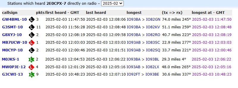
If you doubt the effectiveness of those digipeaters, go to aprs.fi and view “Stations heard directly by M0MZB-15” or by G3WGV-11 and look at the number of packets they handled in January.
Some of us are only now getting back into activating in 2025 but I and other local SOTAers have been impressed by the coverage whilst using our LoRa trackers not just approaching or at summits but also the walk-ins. But we’ve only just starting to find out where the gaps in coverage are. For that we need trackers, not in cars, but on rucksacks during activator’s walk-ins. G/LD visitors, please bring your trackers.
APRSdroid can send position reports directly to APRS-IS over the internet. So in most places this will work via mobile data. So you only need 2m or LoRa APRS for those areas that are not well covered by mobile networks. Or just because you like experimenting, which, after all, is the whole point of amateur radio.
That isn’t what Andy suggested. He said to cover SOTA areas and M0MZB-15 and G3WGV-11 are good examples of that working very well.
I hadn’t mentioned this so far but I’ve always been fascinated by VHF/UHF signal propagation in hilly terrain. Call me a nerd, but since someone pointed out the ‘hover over APRS spot’ feature in aprs.fi and https://lora.ham-radio-op.net/ I love looking at tracker trails and seeing how the ‘winning’ routing often changes from one spot to another especially in very hilly terrain [including your recent Calf Top activation, Richard].
One expects many iGates to be involved on a long car journey but some of the recent G/LD and G/NP activations involved 2 or 3 iGates (sometimes 4) and at least one digipeater.
but as I explained elsewhere, the Southern Lake District, for example, would be better served by a potential digipeater in a location like the grounds of Lancaster Royal Grammar School than a digipeater stuck on the side of Combe Hill, which I have heard being suggested. There is nothing wrong with the digipeater at the GB3EV (Evie) site, in fact, I was going to suggest it, but thankfully, it has been done, it probably covers the summits of the northern lakes very well but doesn’t do a lot for the North Pennines obviously, I actually mentioned the three Yorkshire Peaks in the other post, pointless putting anything in the valleys where the summits can’t be seen, but Caton Moor near Lancaster has the perfect take off for all three, the Lake District is slightly different to other mountainous areas due to its compactness. There is a trade-off, there are a lot of hams in the UK that aren’t that enamoured with SOTA as it fits their description of 5/9 Rubber Stamp QSO’s the trade off is getting Repeaters groups to take a LoRa iGate digipeater on board.
Paul, rather than debate locations of G/LD region digipeaters with me on this reflector, you would be better joining the Cumbria LoRa discussion group (if you haven’t already done so) which is the proper fourm and where other members much more expert than I am, can engage with your suggestions.
Anyone is welcome to join. You can still read any messages posted there without joining.
If you look back through the pages of the LoRa thread, you will see there were a couple of suggestions about using LoRa for propagation studies. It may have escaped your notice that we actually use a different LoRa Ham frequency than the rest of Europe, I’m going to have to look it up now to see where it is, if it’s not in a protected part of the band then nothing to stop anybody getting an EU tracker and monitoring it, or even go further with a little bit of experimentation and see how LoRa works with Troposcatter towards Europe
But it is not them who are placing digipeaters on the sides of the fells and they are not going to be interested in anything in Lancashire! If I still lived up in that area, then I would be happy enough to support them
Because band plans and Ofcom desire to limit LoRa output power/channel occupancy/TX duty cycle in the 433 part of the band compared to the 439 part of the band.