MM6BWA/P and MM0JLA/P in GM/ES May 2023

Scotland 10th May to 29th May 2023

MM0JLA/P report – delayed by the state of the garden and the lack of rain which would have provided an excuse for not working on it.

Some figures:-
Activations 25 – unqualified 1 – total points 41. Some may like to guess at the cost per point – I am not going to try. The target was uniques and, more significantly, completes; the desired 500 Completes was reached on day 5 with summit number 8, Hill of Fare, GM/ES-070.
Contacts 399 – a touch below 16 per hill but a few invalid and not in the uploaded log.
Radio:- Discovery TX500 – 383 contacts – 40m HWEF on a 4m pole
Bands:- 60m – 1; 40m – 279; 20m – 96; 17m – 1; 15m – 6.
Radio:- Yaesu VX-7 – 30cm stick aerial or Sotabeams dipole at about 2m AGL
Bands:- 2m – 9; 70cm – 7 – all derived in some way from MM6BWA/P so thanks to her for those. Her report will appear in due course.

Chasers – 157 different people as far as I can tell; confused by RSLs, the commemorative “R” and people working abroad. My thanks to them all but especially Robert, M0RWX and Allan, GW4VPX. I thought it was a tie at 16 each and then spotted a MR call which put Robert up to 17. Karl, 2E0FEH or 2R0FEH, was next on 14 closely followed by SP6KEP and G0FEX – all very much appreciated, especially when responding to the first CQ.
Thanks to all the others too, particularly those in high single figures whose efforts made all the difference.

I made the EFHW a few weeks before the trip and tested it on a couple of local hills. It was not quite right and I adjusted the length but wet weather impeded further tests in the garden to check the SWR. On the hill SWR varied between 1:1.2 and 1:1.5 – so nothing the ATU couldn’t handle but I would have preferred to leave the ATU behind. The HWEF (as expected) did not seem to work on 60m so apologies to chasers who would have been able to work me on 60m – though looking at spots it seemed pretty unpopular. The reduced weight – short co-ax, shorter wire, reduced wire winders, short pole – all contributed to my being able to go out day after day. So did the weather – in three weeks we got properly wet once and ceased operations for a heavy shower once.

A terrific three weeks – and we did manage to do a few other things (Pictish Stones mostly) as well.
73,
Rod

13 Likes

Routes and Access.

I will not be putting up route information or parking/access details. There has been some criticism of activators not sharing this information but:-
For forested hills it dates very rapidly
Most of the hills we did are pretty trival by SOTA standards
The bigger or more popular hills that we did have well established parking and paths
It would be quite unfair to the people who generously gave us permission to park on their land

As always I will be happy to share any useful information I have via PM but most of it is accessible from Hillbagging - and that will invariably be more up to date. In 2022 people reported failed attempts as access was often blocked by storm damage but by spring 2023 they reported that many paths and tracks had been at least partially cleared.

Innerdouney Hill, GM/SS-169, is an exception and I have entered details on the summit page. Our route was NOT nice but it worked. Much of the forest has been felled and some replanted and now all but impenetrable. If using a bike leaving the track at NO038076 MAY still be a good route. We left the track on the north side of Brunt Hill near where a wall is shown (about NO029079) and walked up an extraction track generously covered in debris. Once the ruined wall appears it may be worth crossing to its NW side to seek easier going. After crossing the boggy little col the wall becomes a proper wall and the going becomes easy grass leading to the open hill top. Time it right and a feast of bilberries awaits :joy:
Of course by now this may all have been cleared and replanted.
73,
Rod

5 Likes

@M0JLA

Hi Rod

I’ve been holding back from replying to your post as I was expecting Viki’s usual detailed report and photos to appear shortly😁…no doubt she is busy sorting out the garden😁. Anyway, thank you for all the summits on HF…some were difficult copy but we made it.

Nearly finished the renovation work here but it’s been too hot for plastering…bring on the cool weather and they can finish the job.

73 Allan.

Hi Rod (@M0JLA),

Seems you had a great trip and decent weather to boot for most of it.
Glad we were able to make contact on many summits - albeit difficult at times - it was great fun trying to follow you around GM/ES from my home QTH.

All the best!

73, Robert

(NB This has been transferred from the thread that I started titled GM-ES Land 2m/70cm May Statistics and photos which is now being closed as all further updates will be added here. If you read it before then just skip to the end where I hope some more photos will soon appear!)

SOTA tour 9 – 30 MAY 2023
A trip to harvest some uniques in GM/ES-land, an area we hadn’t visited before in May (apologies for the delay – will post in sections), and also tick off some ‘missed’ summits on the way back through SS-land. Mainly aiming for the lower hills (sadly, not fit enough for Braeriach etc) but with the proviso that I wanted to activate the hills on 2m and/or 70cm if at all possible. This meant that we weren’t venturing into Royal Deeside this trip owing to the probable lack of VHF/UHF contacts. I was expecting to have to resort to HF (using M0JLA’s rig) to activate at least some of the hills on our ‘hit list’ but I managed to get at least 1 2m fm contact on every hill (but only just!) and also a 70cm on most hills but not always the required 4 to qualify the hill. After a 3 night stay at Edzell, we moved to Lumphanan, north of Banchory (week) then Aberlour (week), Dollar (3 nights) and then the trek back to the Welsh Borders. Including the ‘outliers’ I visited 24 Marilyns and qualified all but 2 on 2m (and 17 on 70cm – wow!) This success rate would not have been achieved without the help of Fraser MM0EFI (21 contacts!) and the long suffering Aberdeen group (GM0APN, GM0NRT, GM1LKD, MM0RFN, MM0UD1, GM4JOJ) who found their relaxed chats at 1230 UTC were disturbed by a visitor begging for just a ‘few’ contacts on 2m/70cm. I am indebted to their unfailing patience and helpfulness – but I feel they were relieved when I finally got out of range!

During my stay in this area 2m began to be monitored during the day and 70cm radios were dusted off and masts erected. Some locals heard contacts with ‘neighbours’ they hadn’t spoken to for ages and some QSYd for a natter. 70cm was embraced with enthusiasm (58 different callsigns during the trip) and many were surprised at the distances achieved: out of 279 contacts during the trip 120 were on UHF. This result was also helped by the willingness of all other activators to have a try on 70cm and some were successful especially MM7MOX Andy on his GM/NS motorbike tour with the high point being his first contacts from a new summit GM/NS-126 when the first 2m and 70cm contacts (124km) were speedily achieved. On 70cm the furthest s2s was 148km GM/ES-059 Kerloch to GM/SS-177 Wether Law (2M0PVP) but on 2m I got MI0VFC on GI/MM-005 Slieve Meelbeg from GM/SS-059 Ben Cleuch at 248km. The shortest contact was 2km between the two Convals GM/ES-051 and 057 when we walked up together and then swapped summits from the pass for a fun way to get quick completes! However, the forest was being felled fairly close to the path and it was disconcerting to find a treetop across the path on our descent so we didn’t linger as the felling continued … On a few occasions the telescopic RH770 was useful for a quick S2S which inevitably appeared when the mast had not been erected or just been packed away (GM/ES-021 Ben Rinnes to MM0VPM on GM/WS-038, 95km and MM0YCJ on GM/NS-040, 138km) It is always worth monitoring the calling frequency as you start to descend and it was a quick scrabble in the sack to find the 770 to get Colwyn on the latter – and then a wait in the queue on 70cm to finish the job!

Ben Rinnes GM/ES-021 was our highest summit (but not our highest ascent – GM/SS-059 Ben Cleugh) and gave my most northerly contact MM7UPP Bryan on East Mainland, Orkney (near the Italian chapel) on both bands but I had been pleased to reach Brora, Helmsdale and Wick from lower hills. Only 1 English callsign was recorded G4ITR Keith in Newcastle from Kerloch GM/ES-059.

Apart from Fraser MM0EFI and those mentioned above, the most dedicated chasers were GM1TGY Charlie, Aberlour (many tx) , GM4JOJ Nigel Mintlaw, MM1FAS Richard, Elgin, MM7MWL Mike, Insch (who had been away), GM4KYQ Ron, Findhorn, GM4TOE Barry Banff (70cm mostly but also 2m by the end), GM0AXY and GM4YMM Ken and Christine Edinburgh, MM0HRI Ian Arbroath (my lone contact from GM/ES-085, the cattle infested Hill of Garvoch).

In summary a great trip but too many hills as the weather kept tempting us to keep going. Most interesting area GM/ES-061Bennachie and Mithir Tap, best hillfort GM/ES-054 Tap o Noth, most fun GM/ES-051 and /057 the Convals (and swapping summits), most interesting summit GM/ES-039 The Buck (rocky summit with Pictish carving but also bogs!), roughest walk GM/ES-059 Kerloch (much of the path is now a stream bed), most challenging route finding GM/SS-169 Innerdouny Hill (the trees had grown up too much to use the suggested shorter routes but we eventually found a way- then I had an unexpected pileup!), greatest disasters GM/ES-085 Hill of Garvoch (cattle!) and GM/ES-070 Hill of Fare (boring walk, flat top, late in the day, v poor contacts never again!)

Now I am left with one puzzle – when sitting on the delightful GM/CS-112 Beinn Mohr 471m in Glenbeg outside Grantown on Spey on a shapely little summit and looking over to the Cairngorms (for the first time), with snow patches and some cloud, I was having immense difficulty in finding any contacts as I had travelled further west and was almost out of range from Elgin and my recent chasers. I called and called with my Yaesu VX-7R on 5w with vertical dipole 2+m above me. I was eventually answered by GM7PBB/P John who had strayed from his amazing selection of mast up at Ness, Isle of Lewis and was using a Baofeng while looking at the Albert Memorial (pyramid) in Balmoral. The contact was very intermittent at my end but his signal was 51 when I could hear him and he returned with 51. In snatches I checked where he was, and discovered his home QTH (which we had passed a few years ago) so the contact was good enough to exchange information BUT … how were we getting through the formidable obstacles covered in cloud between us?? There was no fading it was 51 or nothing and I feel it can’t have been aircraft bounce as it went on for too long - theories please! BTW the attempt at 70cm failed!

Although the title mentions only the ES region of Scotland we did stray into both SS and CS territory briefly – mainly on the way to and from ES-land. The 2m and 70cm statistics are listed below:

10.5 GM/ES-044 2 pt 8 5 Easy walk, good contacts
10.5 GM/ES-076 1 pt 7 1 Raining, brief stay, steep descent
11.5 GM/CS-271 1 pt 6 4 Short easy walk, grassy hill fort
12.5 GM/ES-085 1 pt 1 0 Cattle problems, not on ridge, quick
13.5 GM/ES-059 2 pt 9 9 Saturday, good take-off, rocky track
15.5 GM/ES-065 1 pt 4 2 Onto moorland, beside stone wall
15.5 GM/ES-068 1 pt 4 4 Pleasant hill, rocky cairn
15.5 GM/ES-070 1 pt 2 1 Flat summit, getting late
16.5 GM/ES-049 2 pt 4 4 S2S, hail/rain storm, good plants
16.5 GM/ES-053 2 pt 5 2 Park in forest, difficult contacts
17.5 GM/ES-061 2 pt 7 8 Fascinating area, Mithir Tap also
19.5 GM/ES-039 4 pt 9 7 Pictish fish on summit rock, bogs
20.5 GM/ES-062 2 pt 9 6 Saturday, moving to Aberlour
21.5 GM/ES-081 1 pt 4 3 Drizzle, flat windfarm
22.5 GM/ES-051 2 pt 6 4 S2S – swapped summits (Convals)
22.5 GM/ES-057 2 pt 11 8 S2S, the locals found me, lovely day
23.5 GM/ES-054 2 pt 10 9 S2Sx4 party, fascinating hillfort
24.5 GM/CS-121 1 pt 4 4 Needed a lot of local help!
24.5 GM/CS-123 1 pt 4 4 Ditto
25.5 GM/ES-021 4pt 8 8 Highest summit, S2S, Orkney, flowers
27.5 GM/CS-112 1 pt 5 3 Lovely walk, nr Grantown, tucked away
28.5 GM/SS-216 1 pt 10 9 Busy summit and radio, limited time
28.5 GM/SS-169 1 pt 10 7 Challenging route-finding, gd contacts
29.5 GM/SS-059 4 pt 13 8 Ochil hills, steep route, hot

Thanks for your help everyone – and especially M0JLA. Further instalments will follow with pictures and slightly longer descriptions.

7 Likes

(NB This has been transferred from the thread that I started titled GM-ES Land 2m/70cm May Statistics and photos which is now being closed as all further updates will be added here. If you read it before then just skip to the end where I hope some more photos will soon appear!)

Part 2 The summits from Edzell (and a few diversions!)

The first summit on the way from Glasgow to Edzell was GM/SS-044 Cat Law with the parking on the lodge gates (don’t go through them that path is now blocked!)

GM/SS-044 Cat Law parking at the entrance to Balintore Castle

The first trig pt and M0JLA searching for the ‘true’ summit (3 stones)

The (bent) dipole and the only shelter I could find from the cool wind

The first shower started as we descended but we decided to stick to the plan and cross over the road and ascend to Mile Hill GM/ES-076 – after getting some more water and checking the waterproofs. The track led past marshes with lapwings (a rare sight now) and up beside the trees, across the burn and a steep pull to the summit.

View from Mile Hill GM/ES-076 – which soon disappeared!

Rain stopped play so we soon descended by separate routes as I found a more gentle (and less slippery) descent and we arrived back at the car dripping. The next day looked better and we easily got permission to park for Turin Hill GM/CS-076 and walked warily beside the cattle up to the grassy hillfort where

M0JLA hunkered down while I, once more, was seeking shelter behind a small cairn and catching MM0GLM Jim on GM/SS-271 100km on both bands.

We then diverted to, one of the highlights of the trip – stones with Pictish symbols at Aberlemno (and many other places later on our tour - including one summit!) and the Brown and White Caterthuns.

Aberlemno churchyard. There are also a selection of stones by the roadside nearby.

We had hope hoped to include visit the two Caterthun hill forts (NOT SOTA summits) on the way to the Hill of Wirren GM/ES-045 on our tour but MM0EFI warned us that the road was still closed (probably fallen trees) so we explored them on our way back to Edzell. With a parking place between the two hills and display board

Sketch of the two Caterthun iron age hill forts

White Caterthun on the horizon from the way up its smaller ‘brother’

White Caterthurn with its impressive bank of stones

Our shortest activation was GM/ES-085 Hill of Garvoch where the notice, on the gate we had to climb, warned of cattle and a bull. As we walked up the grassy field we could see a large herd some distance away but hoped we could set up as soon as we were in the AZ and they would ignore us. Rod sat with his back to them while I preferred to monitor the situation. Unfortunately we were not on the ridge and the only contact I could make was with MM0HRI Iain in Arbroath on 2m (not even on 70cm) and the few further calls I made were unanswered before I looked up…

they were definitely getting closer and bringing their calves with them. The big white bull had been called over for a look but had decided to ignore us. However others were not so sure…

and wanted a closer look. I decided to suggest he turned round and … there was no time to video the lowering of the mast, stowing of the gear and retreating to the gate unscathed.

It wasn’t our most successful day as we drove to the RSPB reserve at Foulsheugh to look for puffins but they were not at home but other birds were and surprisingly close.

Guillemots mostly

and razorbills (NOT taken with a telephoto)

I was looking forward to Kerloch GM/ES-059 as I thought contacts might be easy on a prominent 2 pointer on a Saturday with a good path in – but possibly some fallen trees. The trees were no problem but

the path once you left the forest track had become a stream bed so had to be walked with care. We eventually came out of the trees and back into the sunshine

to find a bank of cloud over the nearby hills – just behind a wind farm.

Contacts were good (including a s2s with 2M0PVP Chris on GM/SS-177 148km and my only English chaser of the trip G4ITR Keith in Newcastle) and we were soon heading down again


IMG_44331920×1440 542 KB

Fortunately we knew that the path would gradually improve as we descended but the local model aircraft flying club had long since packed up by the time we reached the car. A good hill but the path is harder work (and took longer) than expected.

More to follow. M6BWA

7 Likes

Part 3 13 - 20 May Based at Lumphanan north of Banchory

After a day’s rest with a forecast of rain when we visited Crathes castle

where one of the pots in the formal garden contained an unusual (and noisy - it sqawked when I got close!) plant

we attacked the local summits starting with Benaquhallie (GM/ES-065) with a long straight road with good parking spot before a track walk and cut through the heather to the top.

GM/ES-065 Benaquhallie

with a view to the interesting Bennachie (GM/ES-061) ridge in the distance so that become a ‘must do’.

Then to Craiglich (GM/ES-068) which involved a pleasant walk mostly through woodland which led to an open summit with a good cairn to add to the height…


GM/ES-068 Craiglich As high as I can get to improve take-off!

Fraser MM0EFI had told me of the daily Aberdeen net and, as I happened to be at the right time, I joined in. Fortunately the locals had been warned and they very patiently talked to me on both bands with 4 contacts on both, job done!

Following this great success, I then had the bright idea to add a 3rd summit to the list as we were back at the car before 1500 BST and the days were long. I had of course forgotten that 2m/70cm contacts from the last hill had only been so successful because I had been calling at a preset time and I might not be so lucky later on. I must try to remember that proximity to a centre of population does not necessarily mean any contacts if the local amateurs have given up listening on 2m as ‘no-one uses it’. It is therefore a complete waste of time and energy for the lonely SOTA activator to keep on calling. So, after a mild protest from M0JLA, off we drove to the parking for Hill of Fare (GM/ES-070) which is a low, 471m, hill north of Banchory with nothing between it and Aberdeen. We walked up through the trees and then appeared to tramp endlessly on wiggly paths through the heather with no apparent summit to aim for. My only contacts were a mobile station GM6CMQ Dan near Laurencekirk, who I had also spoken to on his way north on the Aberdeen bypass from the first hill!, and Fraser MM0EFI who had arrived home by 1715BST. Fortunately HF had fared better (5 contacts in 6 minutes) and I had actually gained a rare complete but it still seemed a long rather miserable walk back to the car.

Despite a rather ‘iffy’ forecast we were soon on the way next morning to a couple of summits, GM/ES-049 and 053 toward the west, near Strathdon as we were hoping for a s2s with MM0EFI on GM/CS-105 on his way to a meeting in Aviemore. We turned into the narrow road up Glenbuchat and followed a car, whose driver decided 10mph was the appropriate speed after resurfacing, for too many miles with no chance to pass but we eventuallly reached the parking in a quarry. The first track out of the quarry ended abruptly so back we went and there was no sign of the expected track off to the summit when were finally on the right forest road (why does this always happen when in a hurry?) so on we marched and found an alternative – with a gate through the deer fence (phew!). The open area had been planted so it was a longer than expected walk to the few stones that marked the summit of Ladylea Hill GM/ES-049 and in moments MM0EFI’s calls from GM/CS-105 (don’t go there – the terrain is apparently awful) were answered on 2m/70cm, followed by GM4JXP but the omens did not look good

On GM/ES-049 Ladylea Hill and Fraser was out there somewhere – apparently getting wet and within seconds so were we.

There was nothing for it but to hunker down on my 3 legged stool for the next 35 mins as the rain poured and the winds swirled – with the odd hailstone. I was, of course, at the very top of the hill and

I did have the summit cairn for shelter but wished the builders had not been in such a hurry to go off to another job before an adequate shelter was erected!

There was no point in opening my sack and trying to erect the dipole as things would get wetter so I just sat there and hoped that my new coat was worth the investment (it was!) but it was a long wait. Eventually (30+ mins) the shower drifted off, the dipole went up and, with a lot of help, I qualified the summit and started down the hill

which had some interesting plants despite its low height 690m.

Perhaps this is because it is particularly exposed to violent storms!!

Thanks to good clothing and the improvement in the weather we decided to proceed to our second summit Ben Newe (GM/ES-053) as planned. The car park is rather hidden down in an old quarry but there are signs leading to the impressive trig point and shelter.

GM/ES-053 Ben Newe with seats beside the trig point!

The area is popular with local mountain bikers with trails everywhere so it is easy to stray on to the wrong path as I demonstrated on the way down.

The next day was one of the highlights (and we needed a rest the next day) Bennachie Oxen Crag GM/ES-061 from the ‘Back’ carpark (where we were told it was pronounced ‘Ben-a Hee’) on a very good waymarked trail which gave access to the extensive moorland and fine views. We both found comfortable spots

GM/ES-061 Bennachie Oxen Crag M0JLA had no difficulty finding room for his aerial between the stacks of rock ‘slices’.

I was nearly as comfortable and I made 8 70cm contacts thanks to the Aberdeen net.

The area is popular with locals as well as visitors – with a variety of headgear.

After activating we had to visit Mithir Tap surrounded by large Pictish fort which is the most prominent feature of the Bennachie ridge but at 518m is 11m shorter than Oxen Crag.

Looking down from the top at the massive walls and

the incredible entrance way which we descended and then found

the vital signpost as many routes converge at this point and, with 4 car parks, it is important to go the right way!

After a day visiting Pitmedden Gardens and stone circles it was time(19 May) to aim for The Buck GM/ES-039 in the hopes that the bog would be dry enough but we met two unexpected problems

as we coincided with the annual visit of the road sweeper and

edge trimmer (never seen one of these before!) to ‘our’ layby and they were extremely reluctant to leave.

Eventually we were on our way and tackling the bog which wasn’t too bad and reached

GM/ES-039 The Buck with a rocky summit

where, not expecting many visitors, I made myself comfortable.

The 2 ladies who soon arrived didn’t seem to mind. They had come the longer track route but were happy to choose our ‘follow the fence’ way on the way down. Whilst talking on the hill I was told there were some carving on the rocks and later, when the sun shone,

I found them straight in front of me. The 721m height gave me a wider area for contacts and reached Elgin, Banff, and Carrbridge as well as the Aberdeen area (where more pople were listening during the day!) but the highlights were a s2s with MM0GLM Jim on Norman’s Law GM/SS-262 103km and the first ever contacts from GM/NS-126 with MM7MOX 124km on 2m and 70cm. Congratulations Andy.

It was time to move to Aberlour via a visit to Lord Arthurs Hill GW/ES-062 where we parked in a small quarry beside the A944. After a short walk we joined the drive which skirted the big house and led towards the path up the hill past the grouse butts.

GW/ES-062 Lord Arthurs Hill with a largfe flat summit and a rather unsafe looking trig point

A total of 15 (6 70cm) contacts thanks to the Aberdeen net once again, the Saturday effect and reaching further north including Elgin, Banff and Brora. A very good haul from our last ‘Aberdeen’ based summit but I was apprehensive that I would find fewer chasers as we travelled further north to Speyside and the distilleries. (report starts in the next post.) Thanks for following me this far!
73 Viki

9 Likes

The system seems to require an intervention before MM6BWA can post again
Rod

1 Like

It was a pleasure. Most times I nipped out of work and turned the Handie on, and there was one time when I thought I had no chance because you were on a lowish hill to the north. Then, by luck I “had” to go home at lunch time to do some on line training. I was on the highest part of my route home (1000’) and you suddenly appeared on 2m. The Landie was practically thrown onto a level grassy bank and we had a relaxed QSO on 2 and then one on 70! Great fun. :slightly_smiling_face:

I have it on good authority that the “long suffering Aberdeen Group” had a ball chasing you and it has had a knock on effect. Last time I let them know I was doing 2m from a far flung place, I had more contacts than usual, so thanks to you and Rod for coming up.

5 Likes

(Aagh! I apparently contravened a basic rule on this reflector which seems to say I can’t post more than 3 replies without someone else intervening. So I prepared what follows (which took some time!) and then found I was not allowed to upload it -grrh! Thanks to Rod and now Fraser you now have part 4 inflicted on you - but you don’t have to read it! I’ll have to ensure there aren’t more than 2 more posts (I’m actually only expecting one. Anyone hit this barrier before?? Thank you Fraser for the reassurance about the Aberdeen group and also the news that you are getting more 2m replies. I hope this effect lasts as I can see another visit might be required some time. BTW I daren’t reply to you on a separate post in case I get barred again! 73).

Part 4 20 -27 May Based at Aberlour, Speyside (amongst the distilleries!)

Despite the low cloud and drizzle the next day, we decided to visit the local windfarm which was only 372m high and a rather flat summit but it was Sunday so perhaps someone might be listening…

GM/ES-061 Knockan the summit cairn and turbines which were surprisingly quiet.

The Sunday effect worked as I heard 2 people talking as I listened round the frequencies and they kindly gave me contacts on both bands and, one of them, MM1FAS Richard in Elgin became my keenest chaser whilst I was in the area. Other contacts were difficult to find but

M0JLA looked very comfortable and busy so I agreed to keep on trying and, after calling and listening for over an hour MM7MOX Andy appeared on GM/NS-089 to give me 4 on 2m but I couldn’t raise a 4th on 70cm. We were amazed by the large number of dog walkers but there were special facilities for dog owners and also a winter warning:

The sign was above a bottle designed to hold a supply of ‘flicky sticks’ but it was empty.

Not a sign we see on our local windfarms in Wales and the Welsh Borders.

From now (22 May) onwards the weather was mostly fine, warm and often sunny so perfect conditions for the visit to the two Conval summits GM/ES-051 Meikle Conval 573m and GM/ES-057 553m Little Conval which are very close together with a pass at 390m between them. We parked on the road to Ben Rinnes (see 2 days later!) beside the forest and

carefully followed the forest roads up towards the pass and Little Conval.

The loud noises just below the road warned us that felling was in progress but is was far enough below the road for us to feel safe and we swiftly arrived at the pass where I went south and up the somewhat soggy path to Meikle Conval with

Cloudberry in profusion

GM/ES-051 Meikle Conval and a view over to GM/ES-021 Ben Rinnes over the small summit cairn.

After a quick s2s (distance 2km!) contacts were slow to come but after an hour 6 2m and 4 70cm were in the bag and it was time to start descending

and to look over to Little Conval where Rod was already descending (he beat me to the pass but had a shorter distance to travel down). When swapping summits I always prefer to do the higher summit firs - t both to help drum up trade and also ensure that the second hill is not quite such hard work. This wasn’t quite true in the Convals as the ascent to the hillfort on Little Conval is much steeper and I also had a problem trying to get good take-off but also shelter from the stiff breeze (the perils of VHF/UHF!)

GM/ES-057 Little Conval trig point (with Ben Rinnes in the background again) where It was much too cold to activate eventhough it wasn’t the true summit which was marked by a few stones inside the small fort at the top.

Once again a quick s2s (and thus 2 new completes were added to my list) and a better total of 19 contacts (11/8) despite the lower hill. Contacts included Wick, Findhorn, Banff, Elgin, as well as Inverurie, Mintlaw and, of course, MM0EFI Fraser, this time on a hill above his home. Had the OS decided that this (smaller) summit was more easily seen from elsewhere than its larger companion and thus put the trig point on the lower hill which would perhaps explain the larger number of contacts - or was it just that, in my case, the grapevine (sorry WhatsApp Group) had been alerted?

The next day we had arranged a little local ‘s2s-fest’ so travelled east again to

GM/ES-054 Tap O Noth, a small vitrified hill fort with a carpark and a waymarked, rather circuitous, path through the gorse and then suddenly up the hill.

Only a small hillfort and easily walked round as most of the stones were stuck together as the hill had been set on fire (probably deliberately) hence ‘vitrified’.

Once again I was trying to shelter from the wind but the dipole went up well, it seems

but sometimes the camera doesn’t show the ‘whole truth’!

Thanks to meticulous planning (Fraser) we soon had a rather unusual s2s net on 2m and 70cm involving MM7WML 17km on ES-079 , MM0EFI 19km on ES-061 and MM7MOX 106km on NS-129 when the chasers had to wait until we’d all made the necessary contacts. Many thanks to Mike, Fraser and Andy and then the rest of the contacts. I think the record of 10 contacts on 70cm may stand for some time! Great fun and also a fascinating hill.

The next day was rather a contrast as we planned to travel to visit a pair of summits, west of Elgin without visiting the city but the vital bridge was closed so we found ourselves travelling through the centre and then out to

GM/CS-121 Hill of the Wangie where Rod managed to find the trig point in the felled area while I was still following mountain bike tracks through the trees and wondering where the summit actually was.

Then, after a longer than expected drive as the two summits are rather close but the roads didn’t go that way. we once again embarked on forestry roads and after a few turns noticed the problems on

GM/CS-123 Burgie Hill which didn’t look any better when eventually underneath them!

It was only thanks to the efforts of the local chasers that I qualified both hills on both bands. On the latter when teetering on a small earth mound surrounded by trees and dwarfed by the masts, I was amazed anyone could hear me. We both tried (different) routes back to the main track to avoid the massive detour round the masts and eventually met up again. I don’t think I’d bother to visit either of these again but the nearby

Sueno’s stone in Forres was magnificent and the fish and chips on Lossiemouth seafront worth the journey!

Fortified by this, and still with lovely weather the next day, it was time to attack our highest summit

GM/ES-021 Ben Rinnes with a wide heavily walked path with

an unusual type of gate which was rather superfluous as there was no longer any trace of a fence!

Nearly at the rocky top at last which boasted a toposcope and also

a trig point rather closer to me than I would have liked but there it was very difficult to find places to peg down the guys so I decided to pretend that I was invisible. I was very lucky to both start and finish with a s2s on the telescopic RH770 with MM0VPM Alan 95km on GM/WS-038 and then MM0YCJ Colwyn 108km on GM/NS-040 on both bands.

Rod was, of course, further down the hill and much more sheltered but had discovered

some patches of loiseleuria procumbens (or kalmia procumbens) mountain azalea which we had last seen considerably higher on The Cairnwell above Glenshee last year.

I needed a rest the next day bur Rod went up the nearby GM/ES-069 Ben Aigan and found it a bit steep and rather boring so I shan’t rush to fill that gap. Thus Ben Rinnes was my last GM/ES hill and there wore only 4 more summits before we headed out of Scotland and back to the (at that time) cooler G-land. I hope to just add those hills to this epic in a few days. Thanks for reading this far! Please let me know of any mistakes I have obviously made in this saga. (Thanks to Fraser for correcting some of my spelling.)
73 Viki

9 Likes

It’s Ben Aigan. :slightly_smiling_face:

And that one is Hill of the Wangie. When I did that one, I spotted the trig in the middle of the clear fell, and given the AZ was about 1km², I decided not to bother. Feel guilty now. :slightly_frowning_face:

3 Likes

I’m not sure why I’ve missed this thread but what a great trip! You seem to have endless energy for running up and down numerous summits! Many thanks for the report. :slight_smile:
73
John
M0WIV

1 Like

The trouble is that we have been knackered ever since we got back home :wink:
73,
Rod

4 Likes

Part 5 27-29 May Based near Dollar, east of Stirling The LAST instalment (phew!)

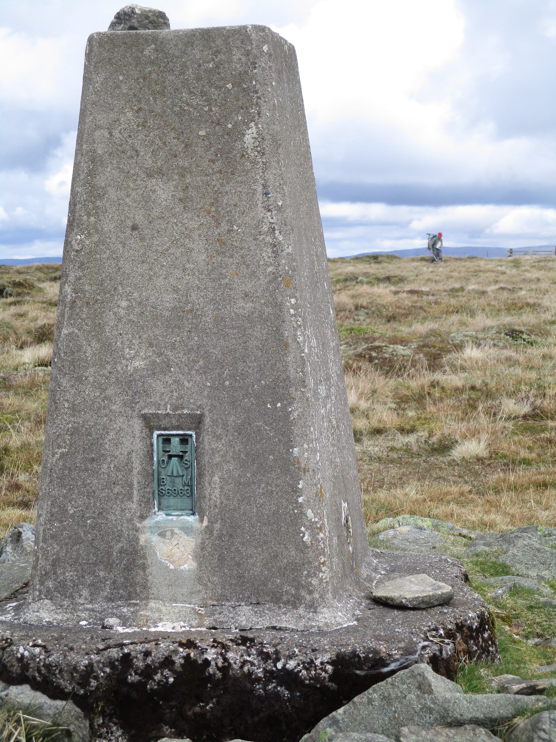
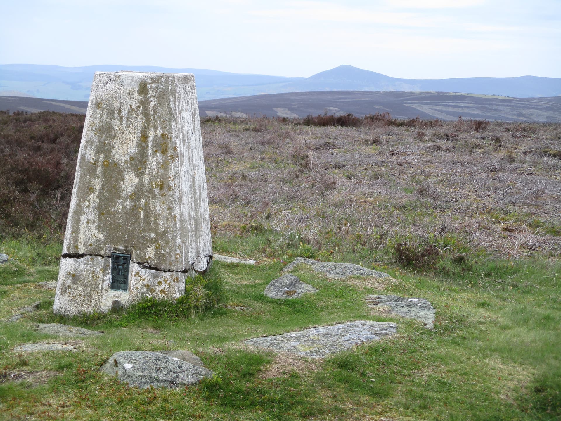
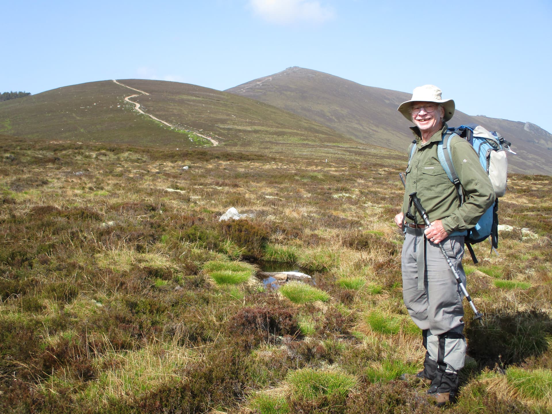
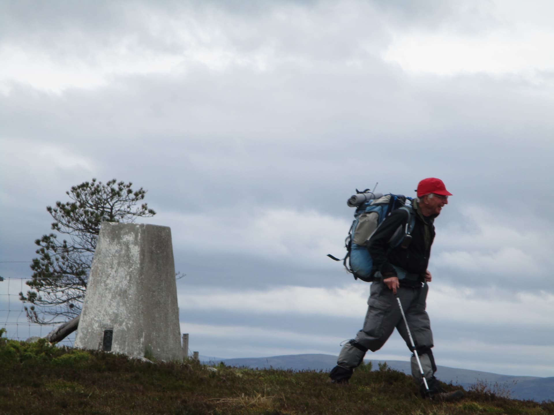
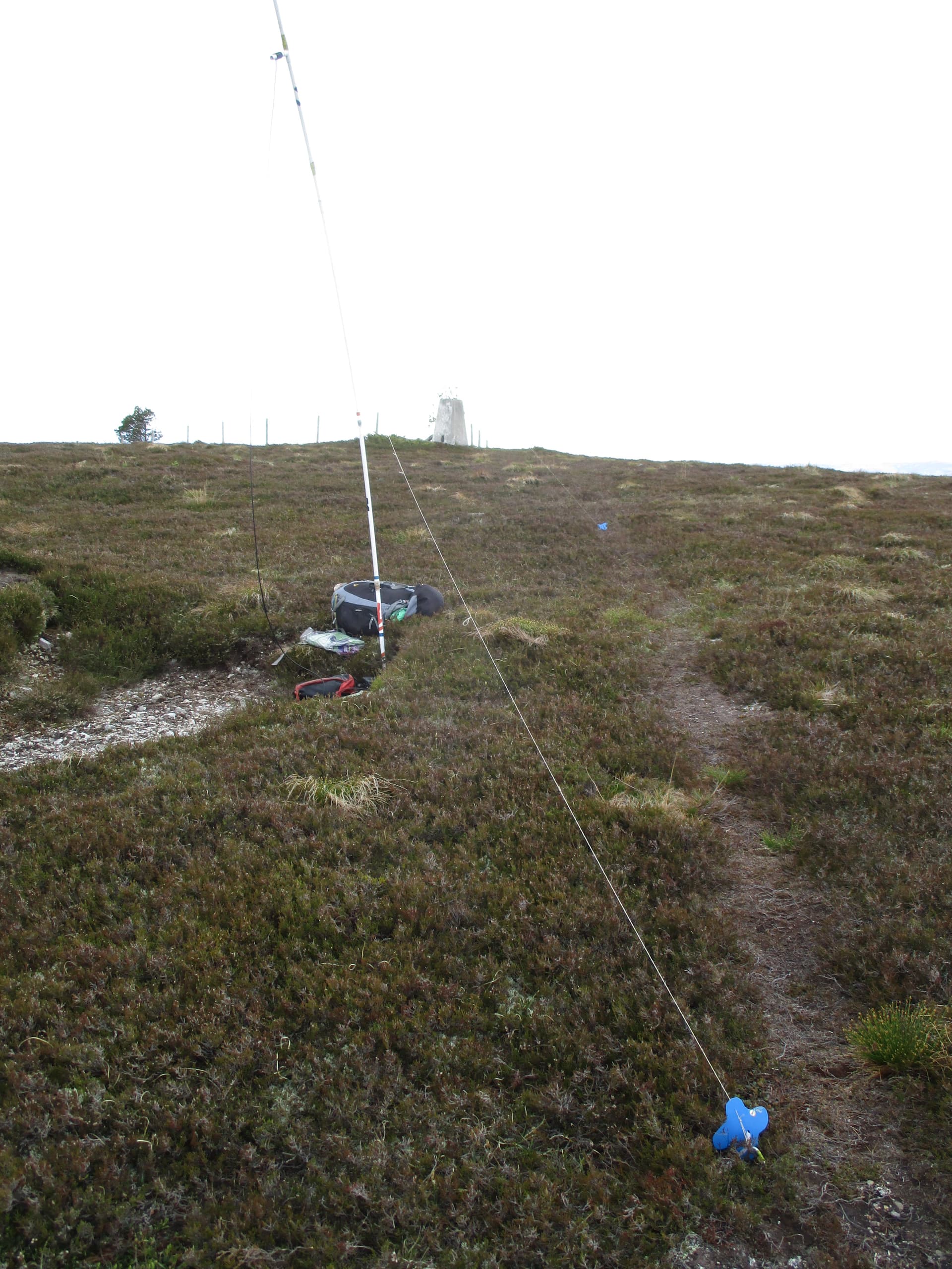
After a few more Pictish stones we drove past Grantown-on-Spey and parked in an old quarry at the end of the public road in Glenbeg. We then followed the road past some houses and through a wood to the open moorland. The paths took us past the grouse butts and up to the trig point by a straggly lone tree and a rather sharp fence corner.

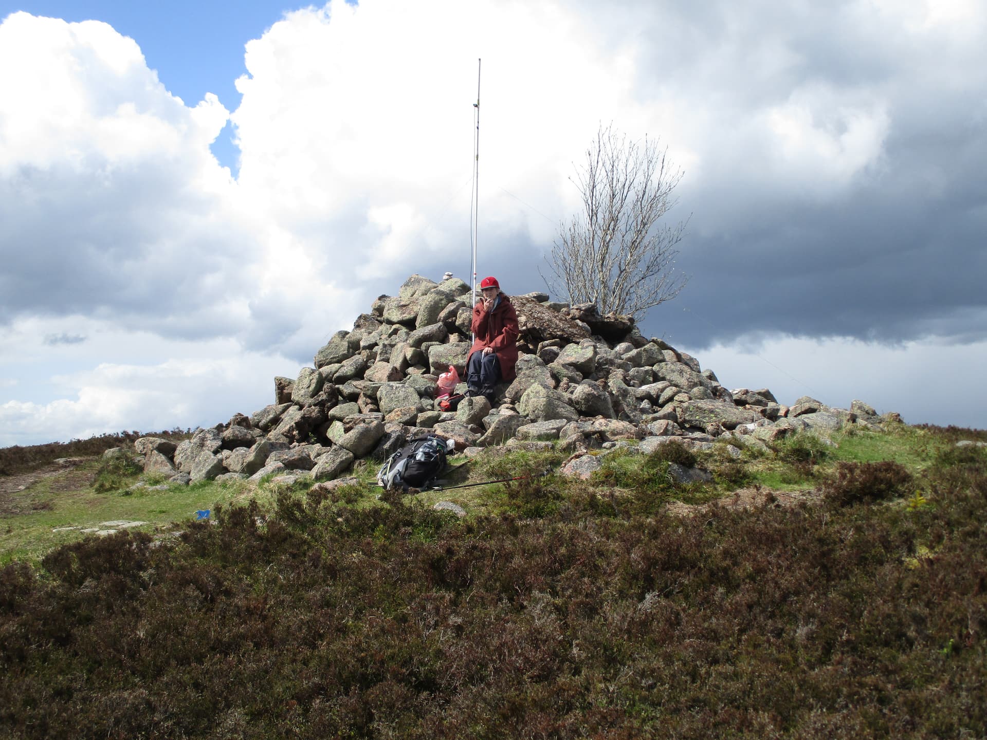
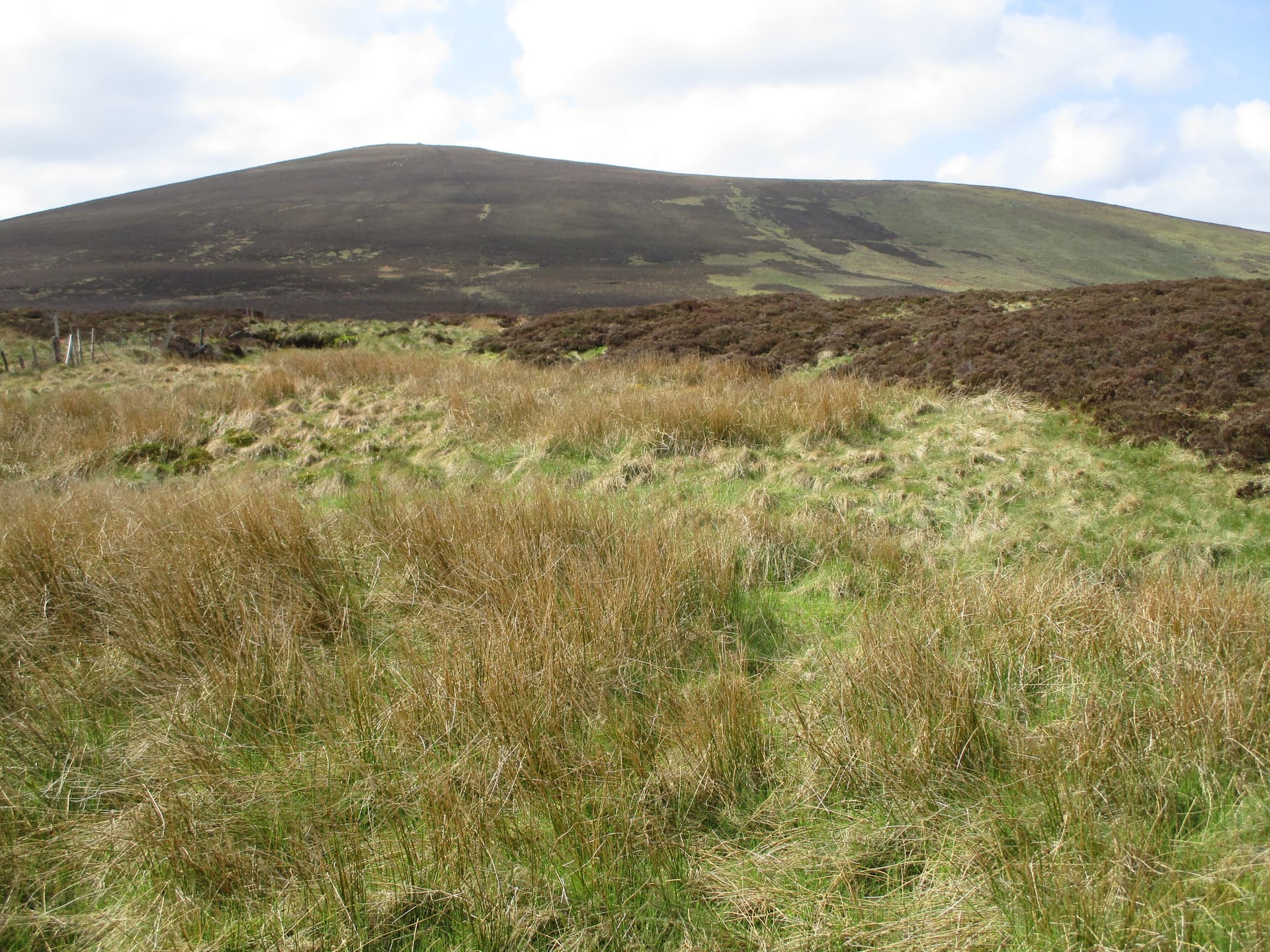
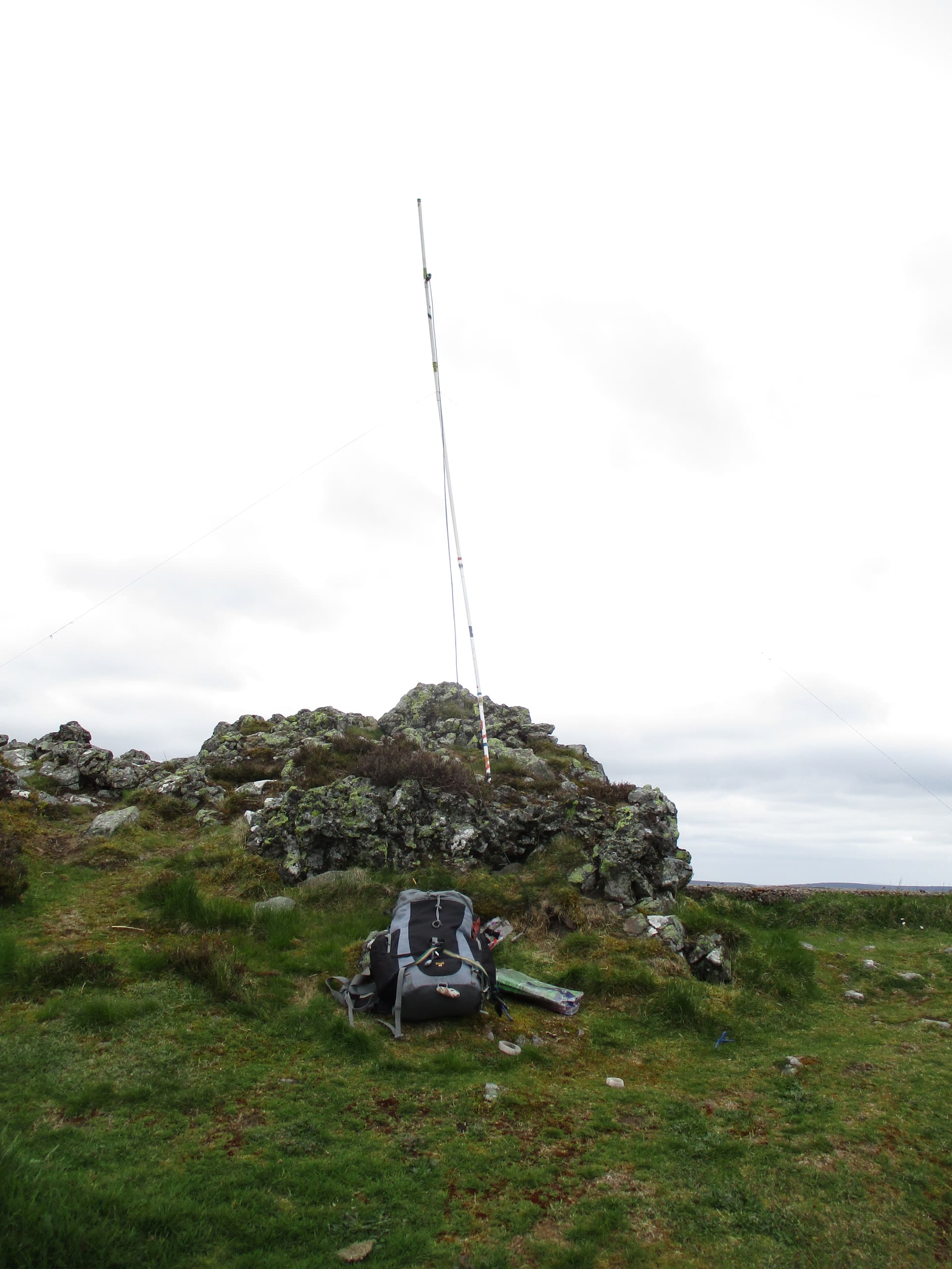
GM/CS-112 Beinn Mhor where M0JLA quickly decided to look for a warmer spot …

which he soon found and was quite busy as the hill had only been activated 3 times before.

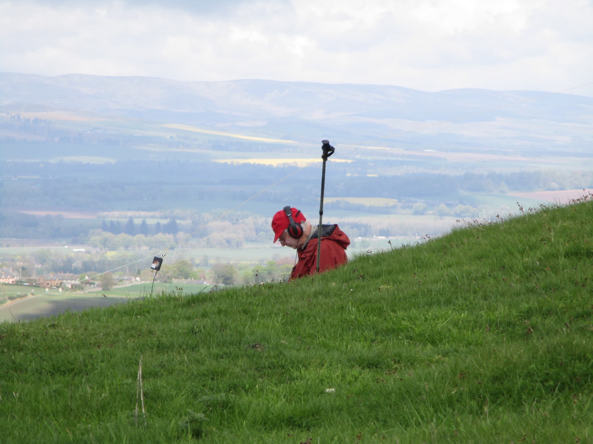
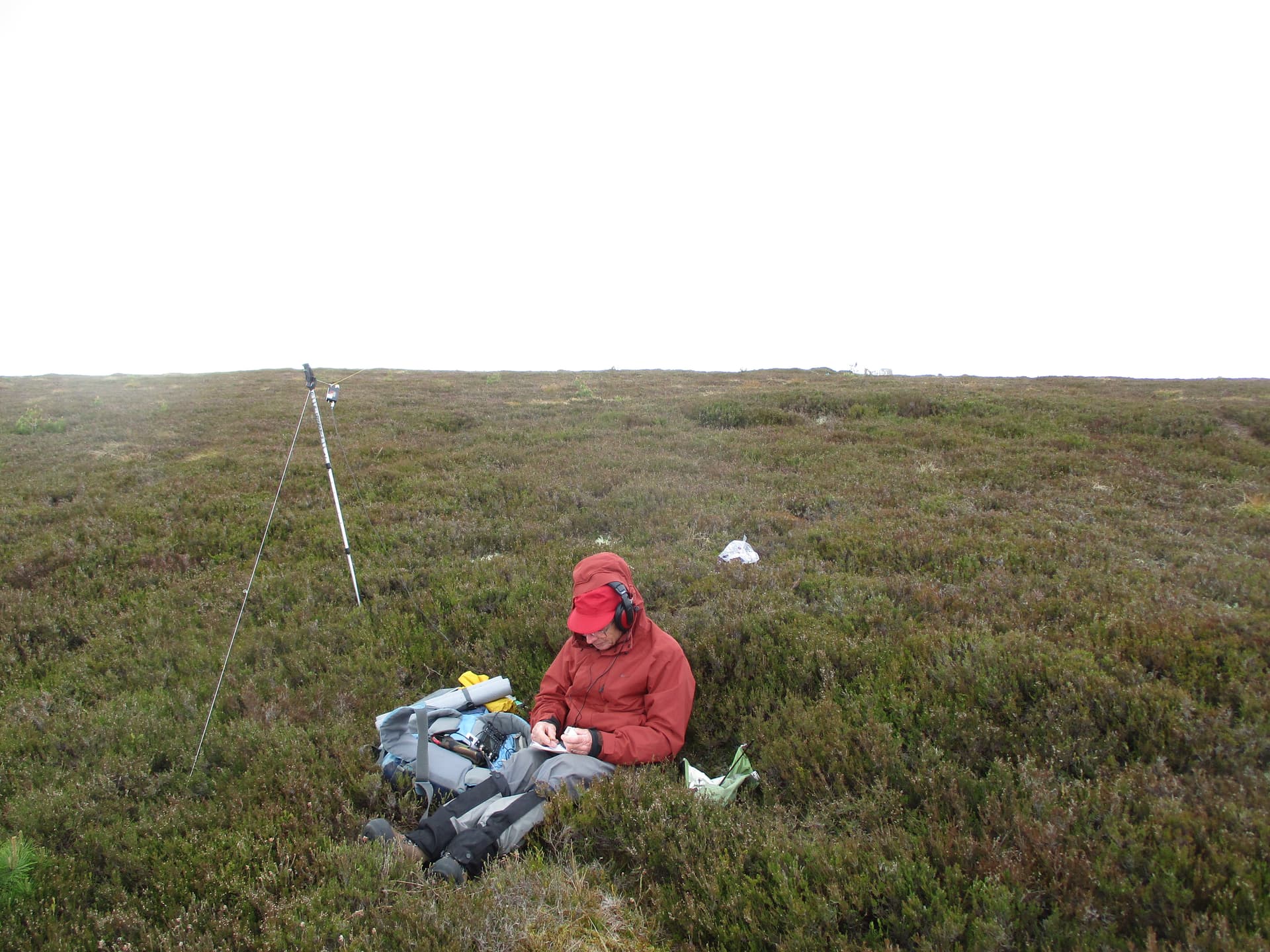
As my chosen spot was considerably colder I wandered off after getting 5 2m contacts and 3 on 70cm but with little hope of getting a 4th after calling for over an hour. I could tell that MM0EFI was indeed out of range by now!

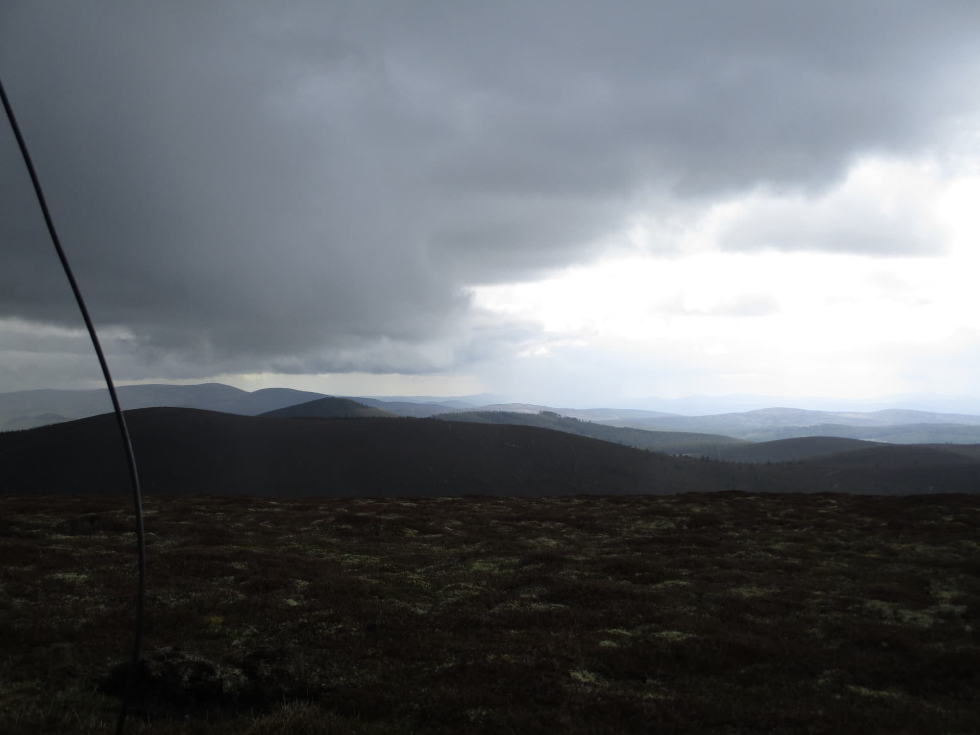
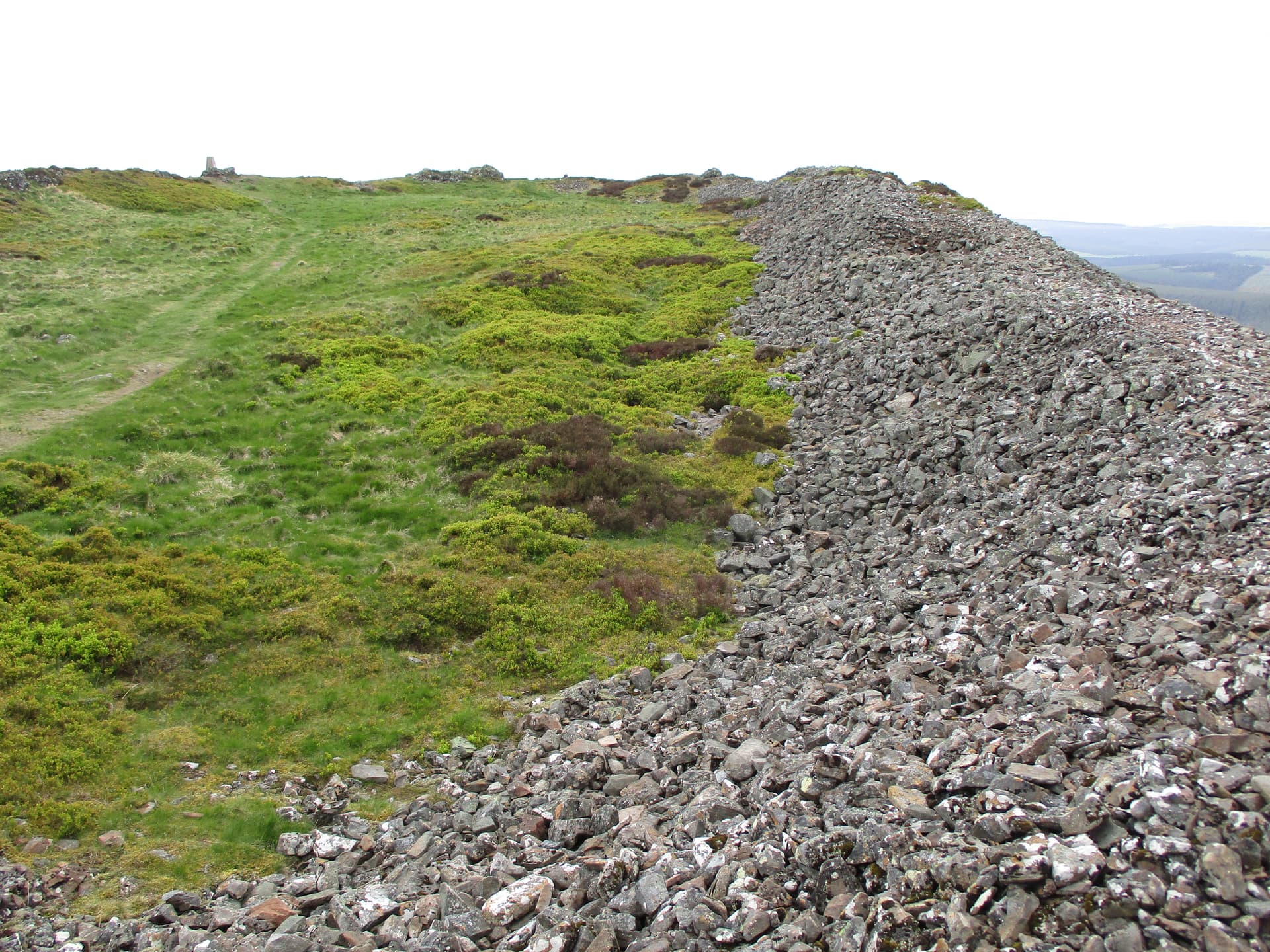
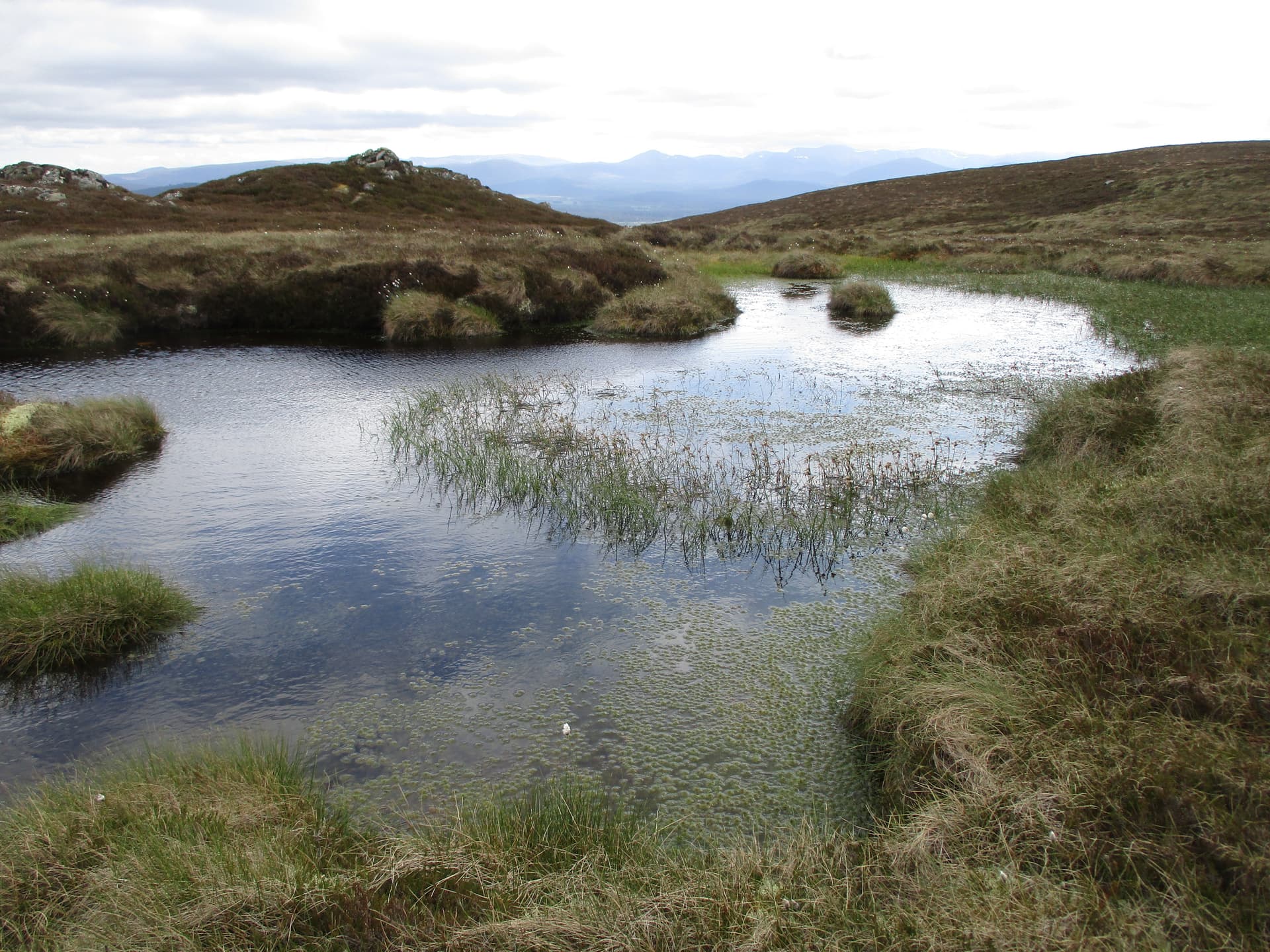
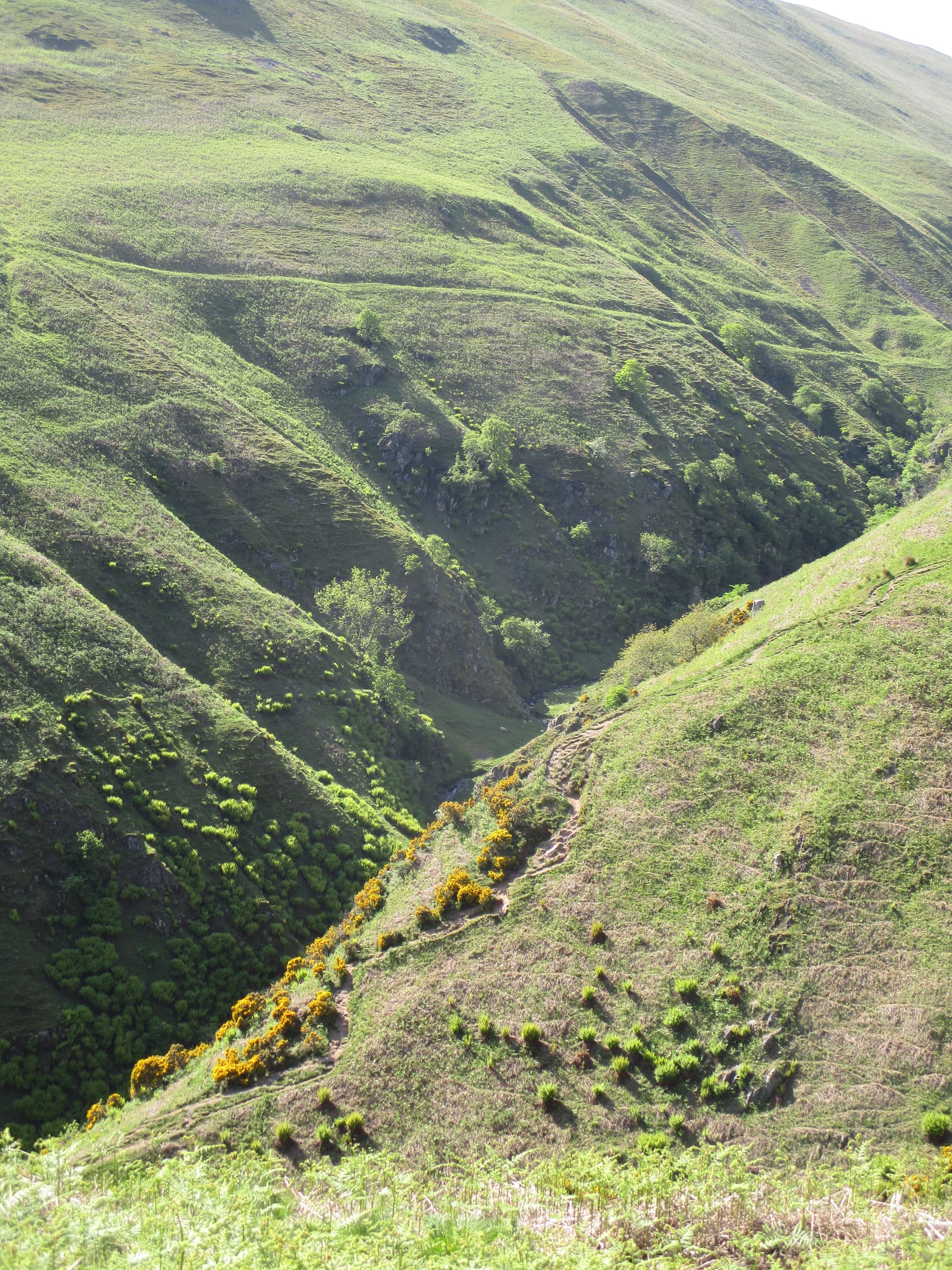
A short wander on the flattish summit took me to a lochan and views of distant snow patches on the skyline.

We left the hill with a couple of mysteries that we haven’t yet resolved:

a) As mentioned before in the first of my posts, I had a contact with GM7PBB/P John who was using a Baofeng while looking at the Albert Memorial (pyramid) in Balmoral the other side of the Cairngorms. The 2m contact (not possible on 70cm!) was a very intermittent 51 at my end and he replied with 51. In snatches I checked where he was as I couldn’t believe that we were talking despite the formidable obstacles covered in cloud between us. There was no fading it was 51 or nothing and I don’t believe it was aircraft bounce as it went on for too long - any credible theories welcomed please…

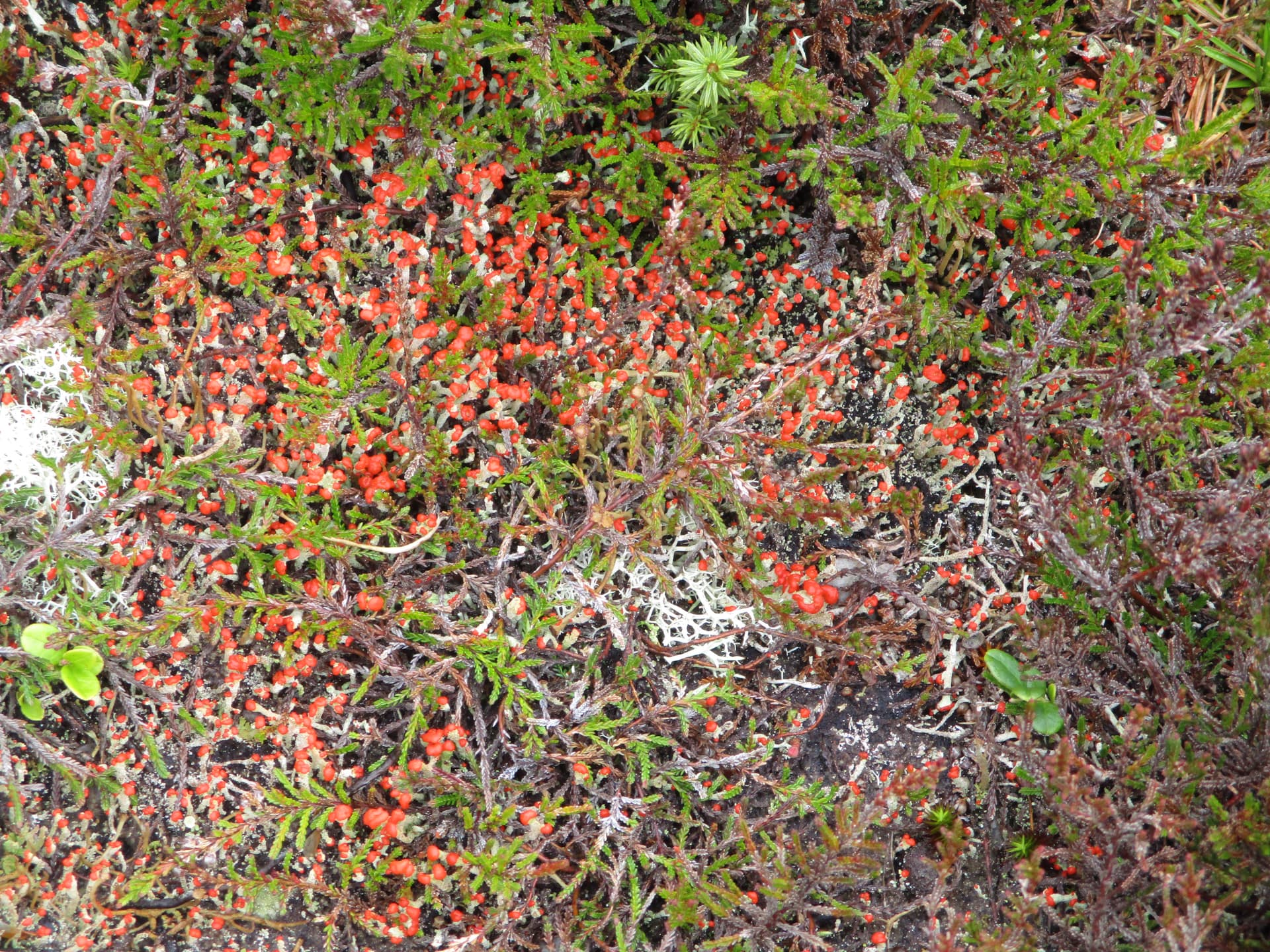
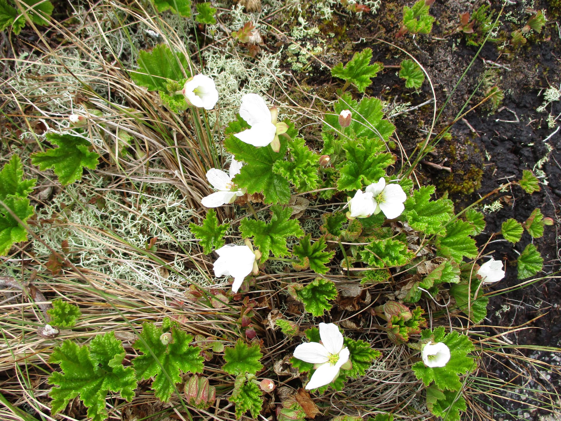
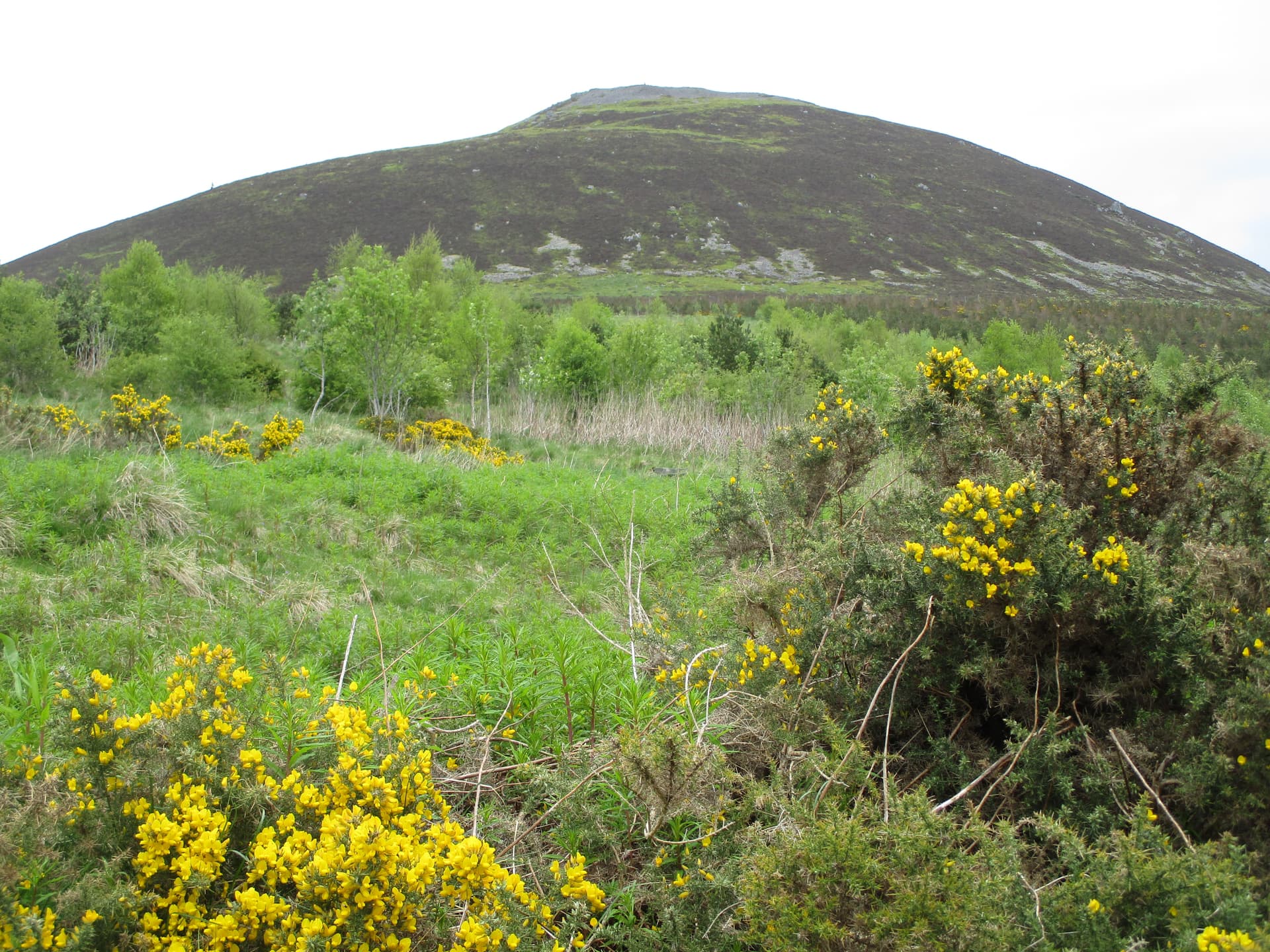
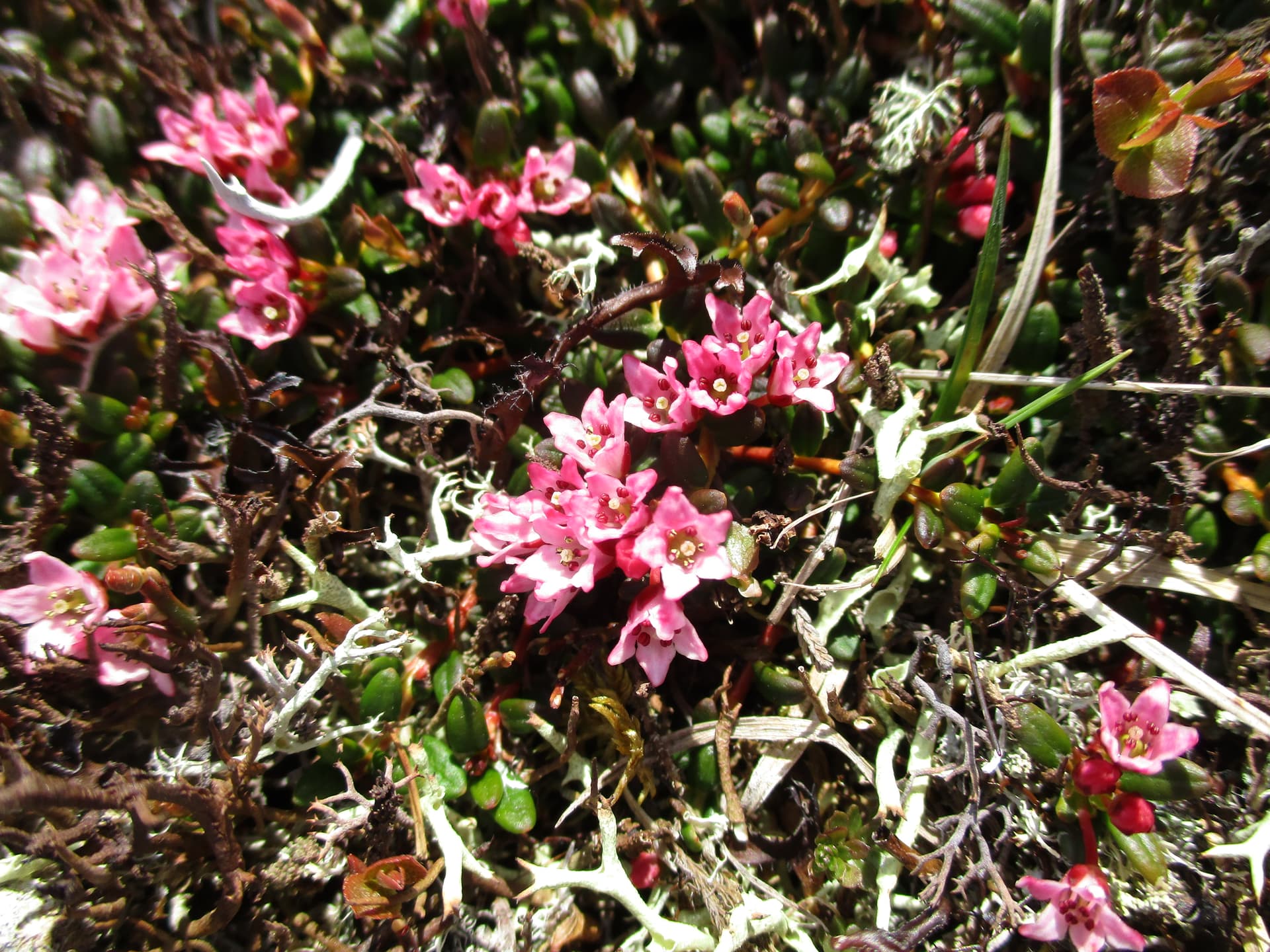
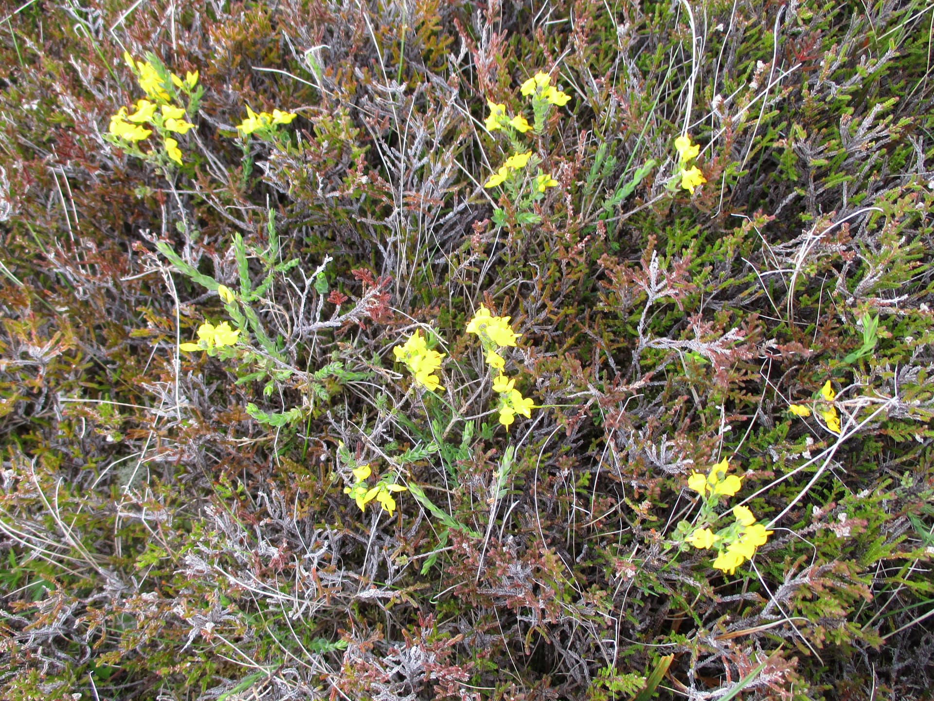
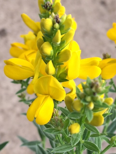
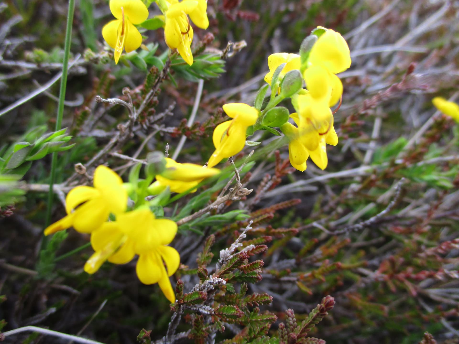
b) What is the yellow flower that was fairly common on the open moorland and we had first identified as gorse but quickly realised it wasn’t. We saw it nowhere else on our trip - or at any other time on the hills.

It looked like a rather straggly shrub amongst the heather

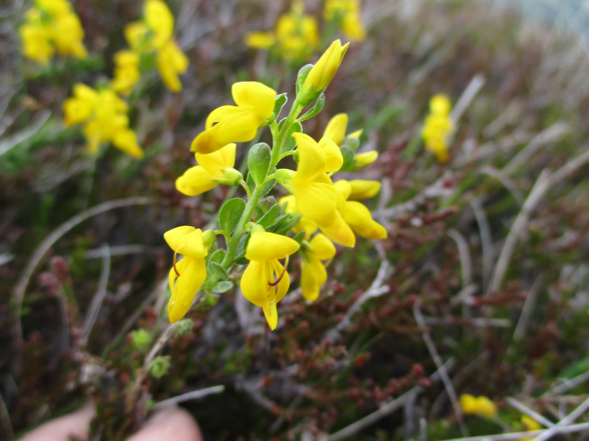
Although the flowers are rather similar to broom the two front runners seem to be:

Petty Whin (Genista anglica) and Hairy Greenweed (Genista pilosa) Neither of them seem to fit our pictures although the first is more widespread and the latter is only know from the Lizard in Cornwall (!) but this was the plant chosen by a friend’s flower identifier on her phone. Could anyone reading this please settle the argument or come up with another suggestion.

The next day we had a chance to visit a couple of summits which we had omitted when staying nearby some years ago.

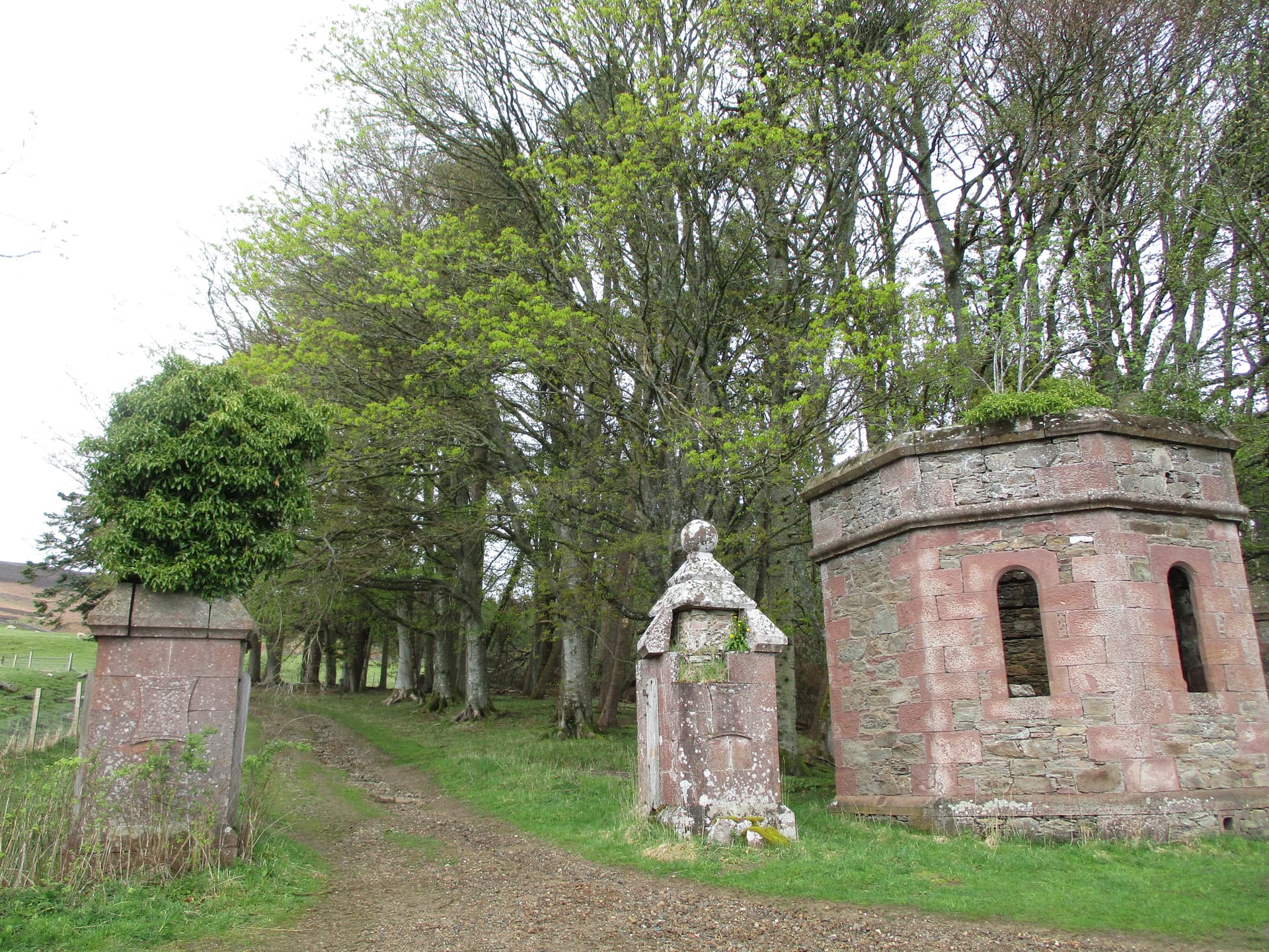
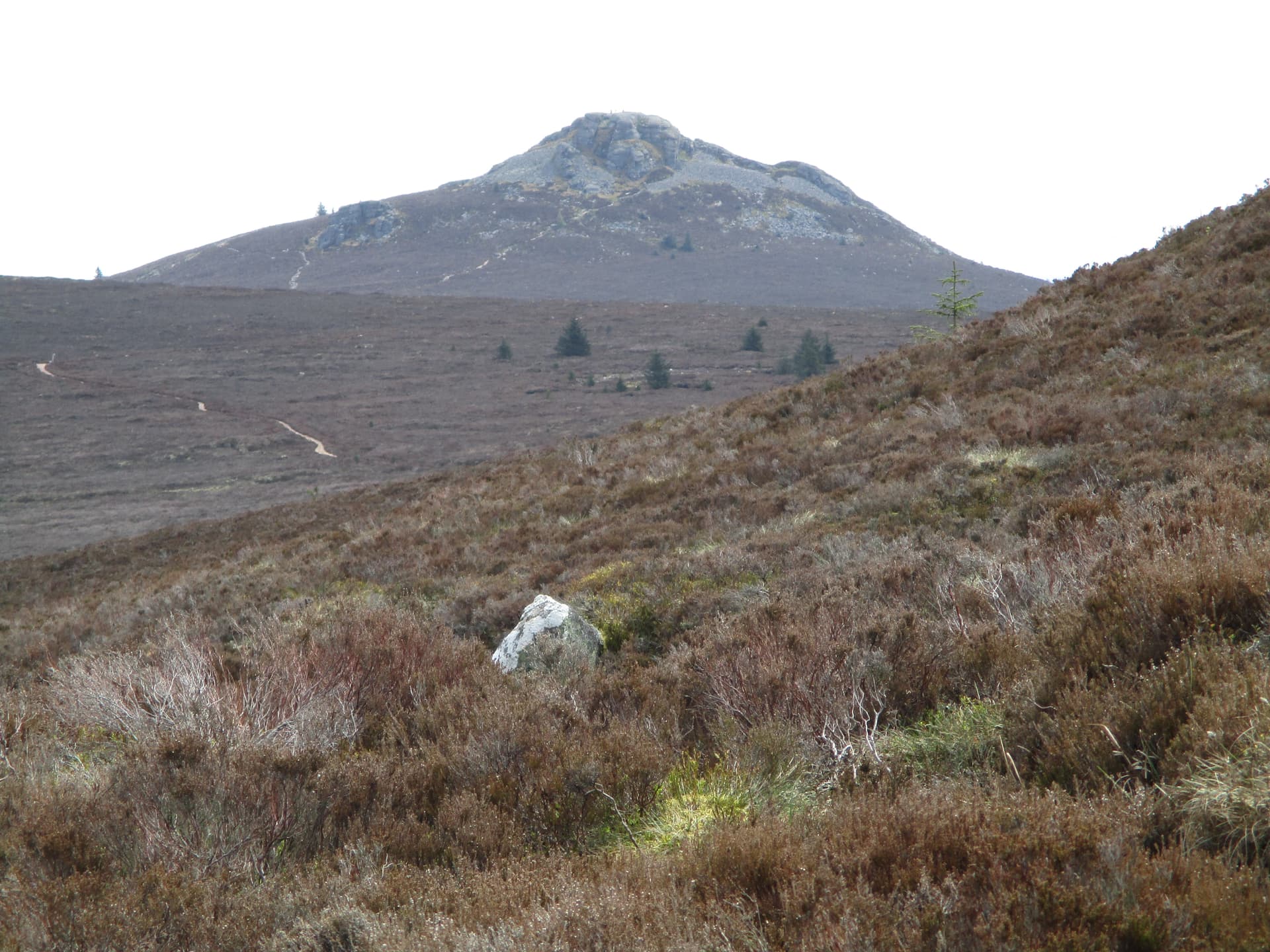
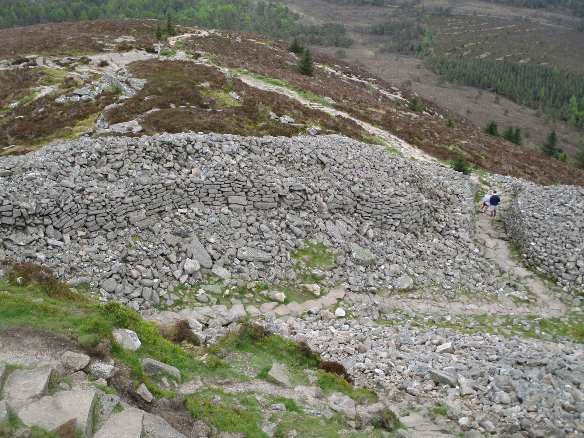
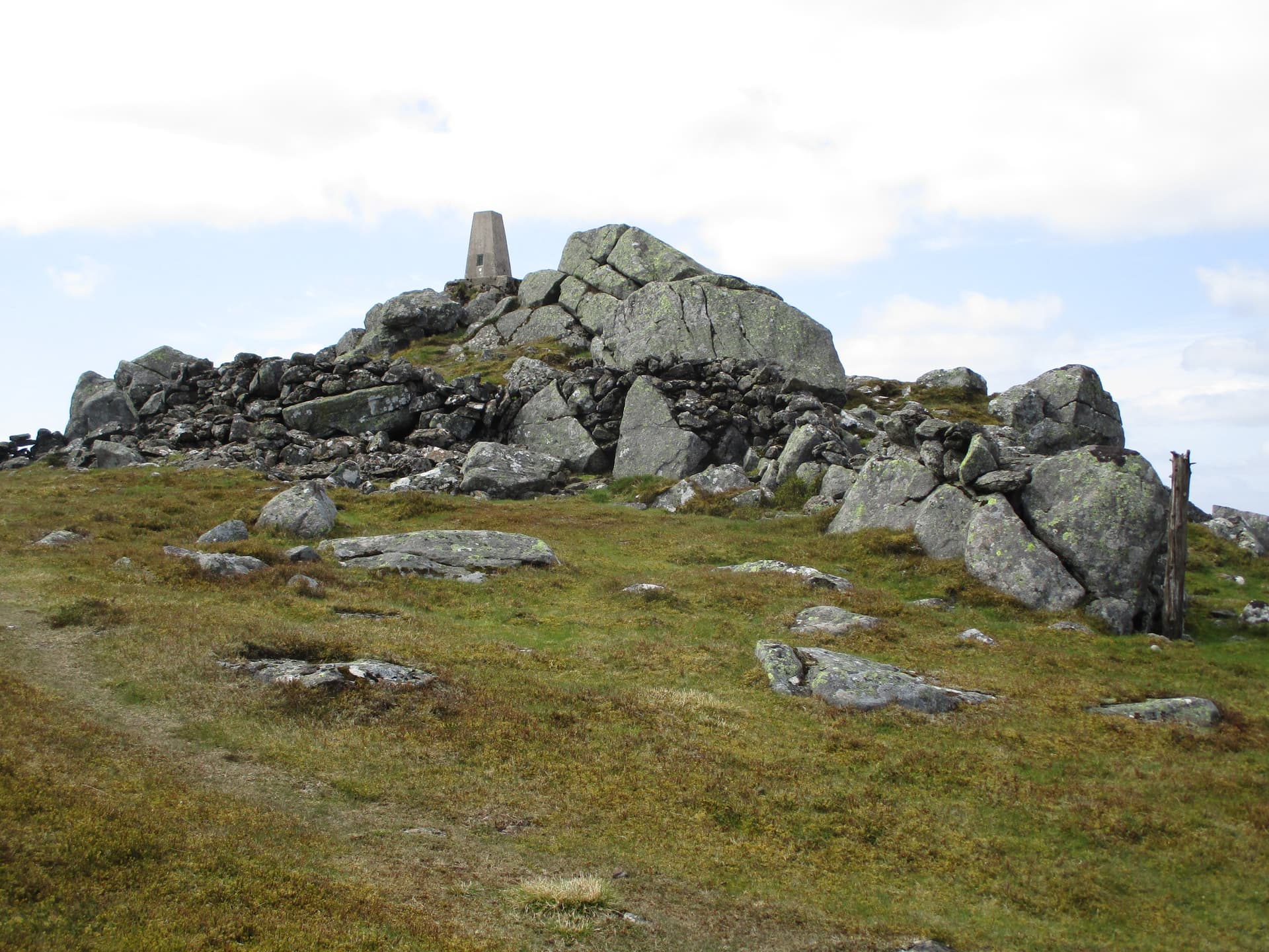
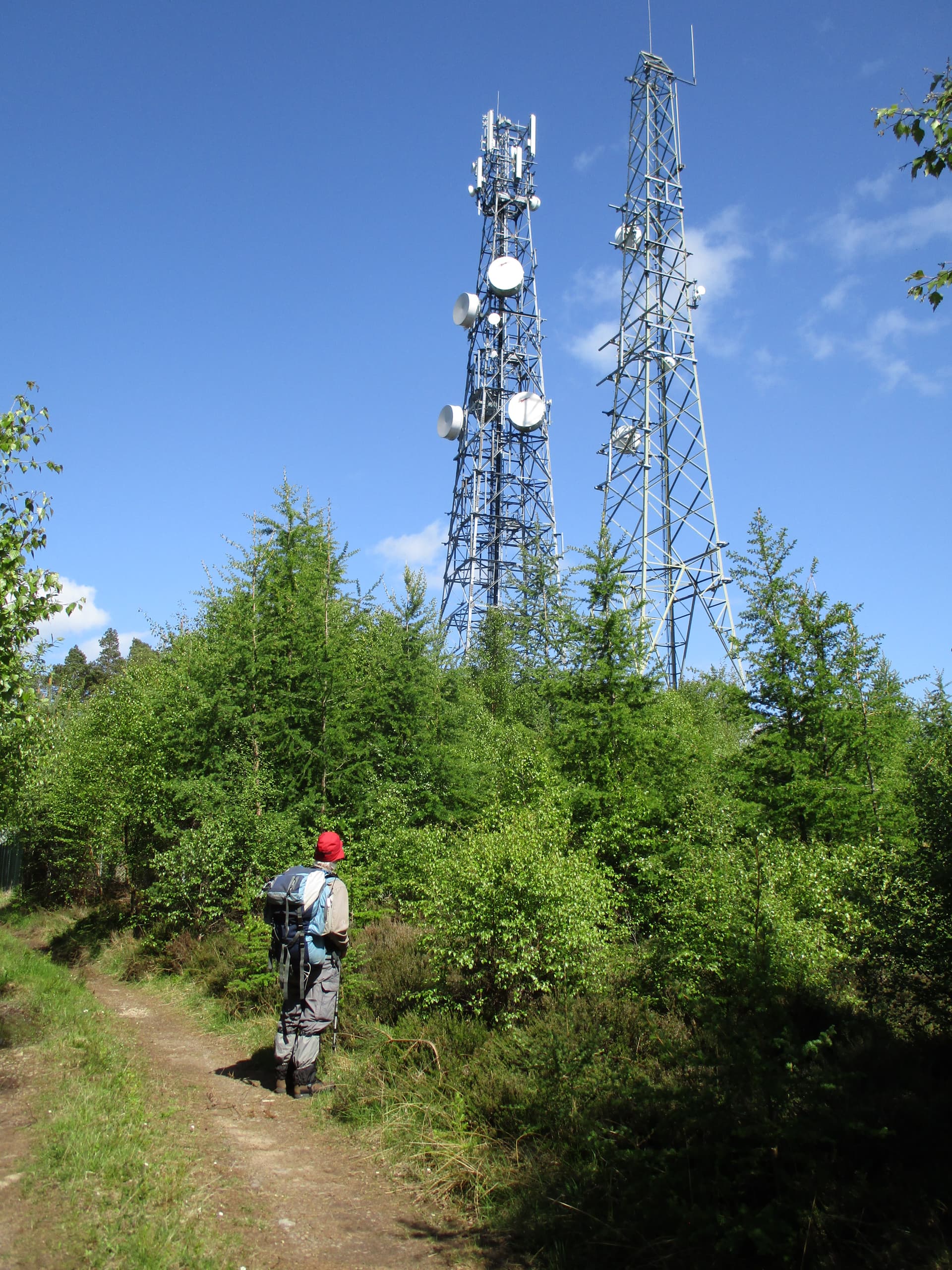
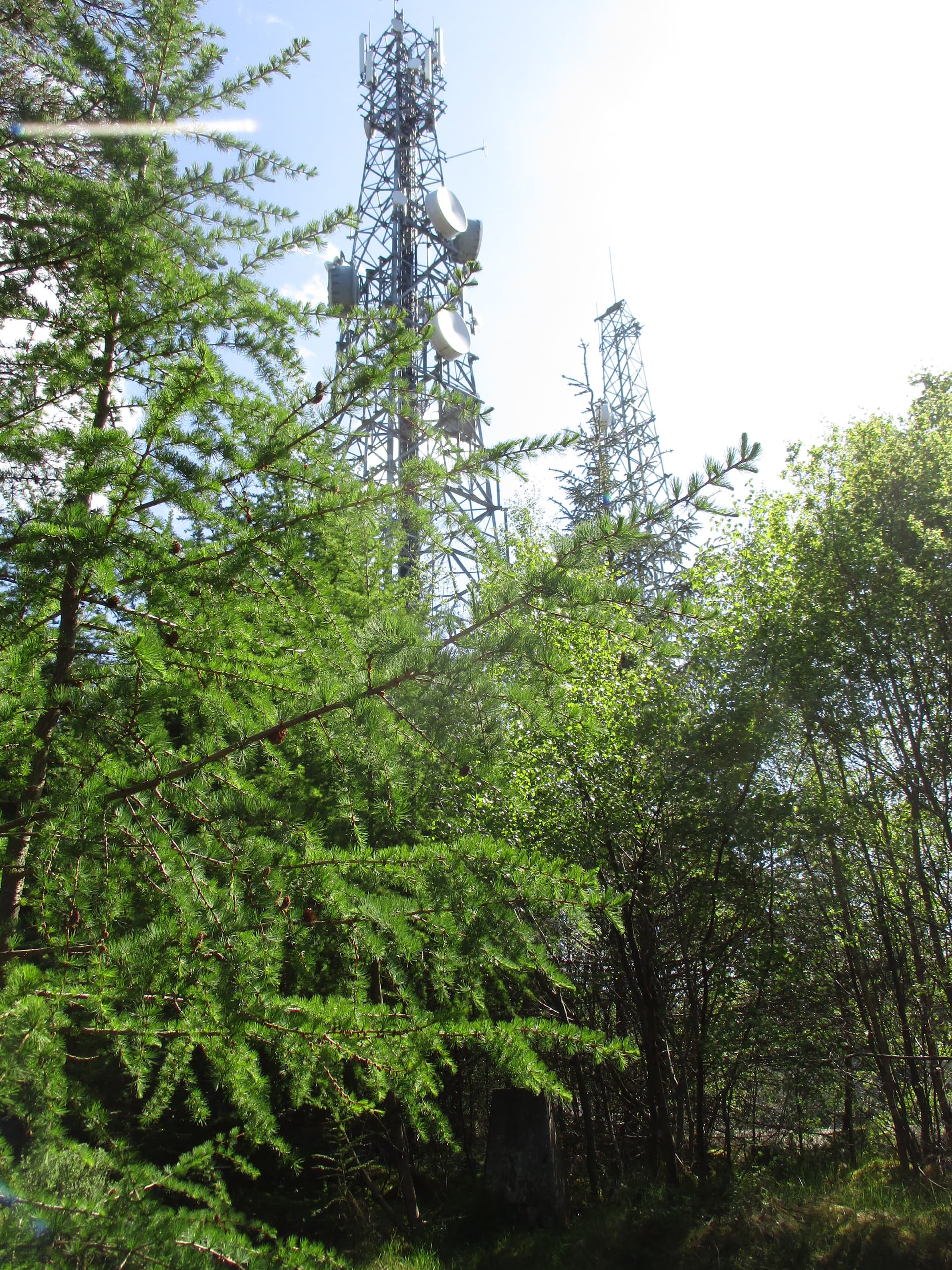
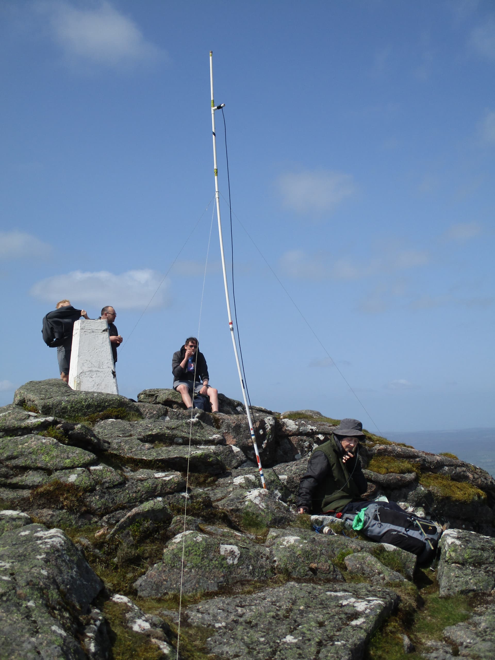
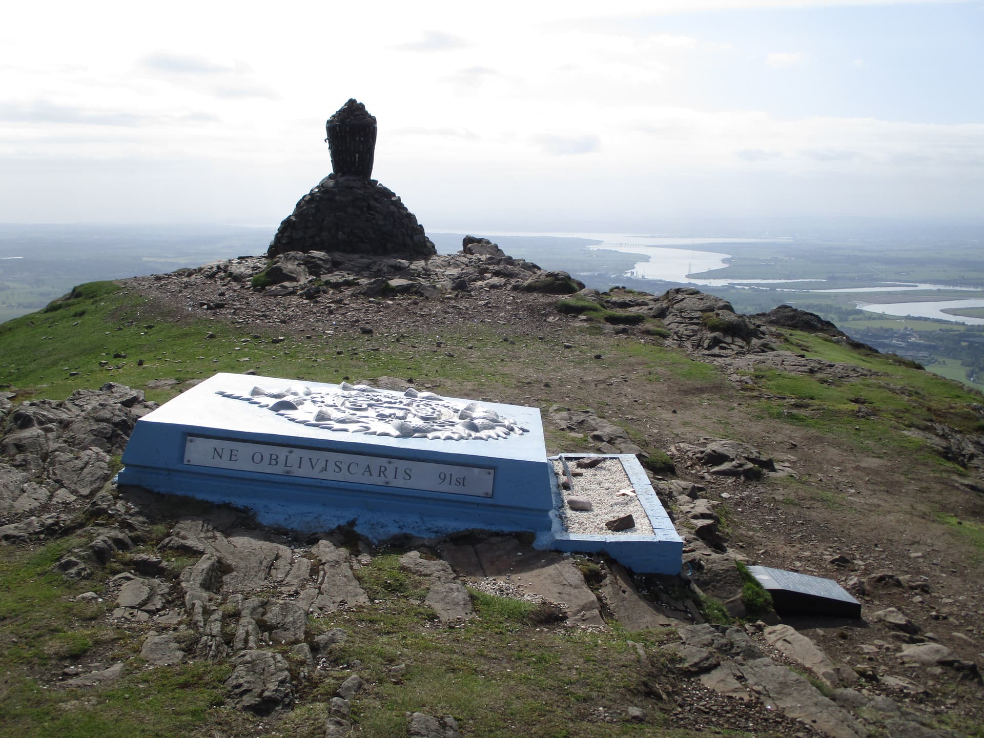
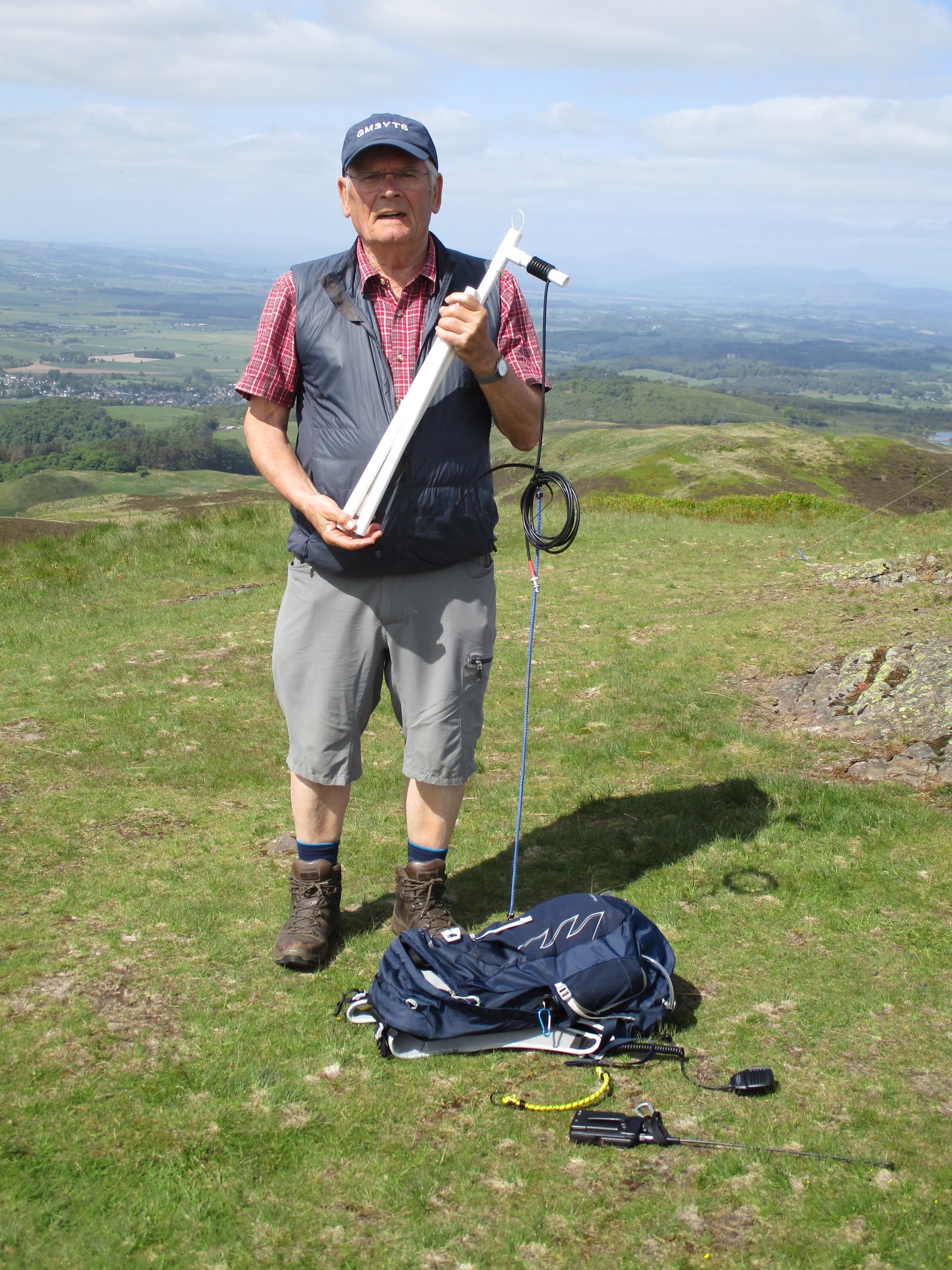
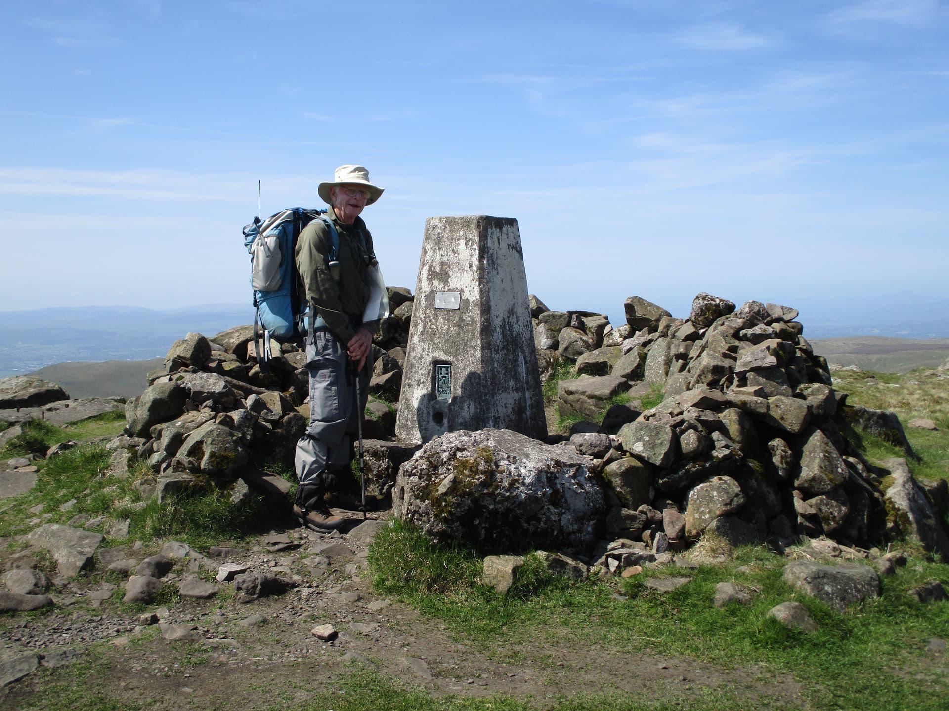
GM/SS-216 Dumyat summit featuring the Argyll and Sutherland Highlanders Memorial badge and also a stone cairn and beacon. We were soon joined by Rob GM3YTS who came up the hill to say hello, tell us how to pronounce Dumyat (D’m-eye-at, or something similar!)

and demonstrate how his 2m dipole folds up and can be carried within his rucksack rather than on the outside like mine.

Within 45 mins I had 19 contacts (9 on 70cm) including a s2s with MM3WJZ Ian on Merrick GMS/SS-028 119km but we didn’t want to linger as we had another activation planned and the summit was getting very busy. We had been able to grab a parking space close to the start of the path and knew our space would quickly be filled when we left (it was) but we had fingers crossed that we didn’t meet anyone on the steep, winding and narrow road down to Airthrey (we didn’t).

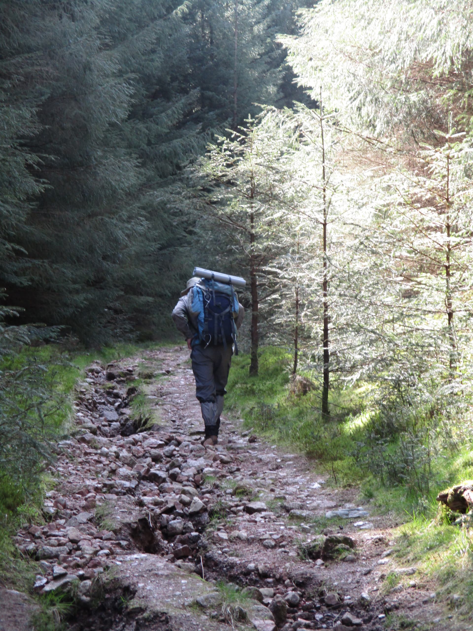
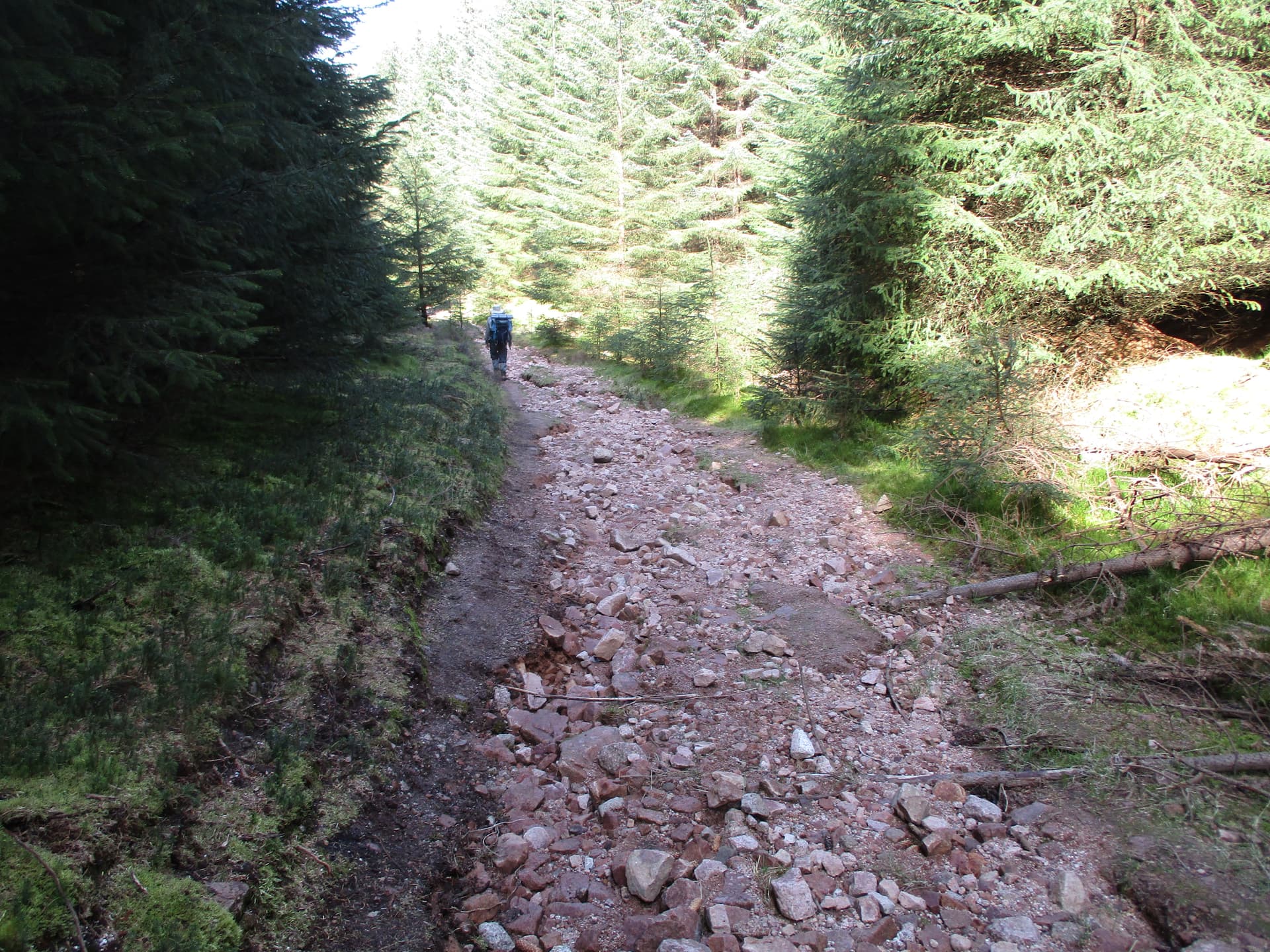
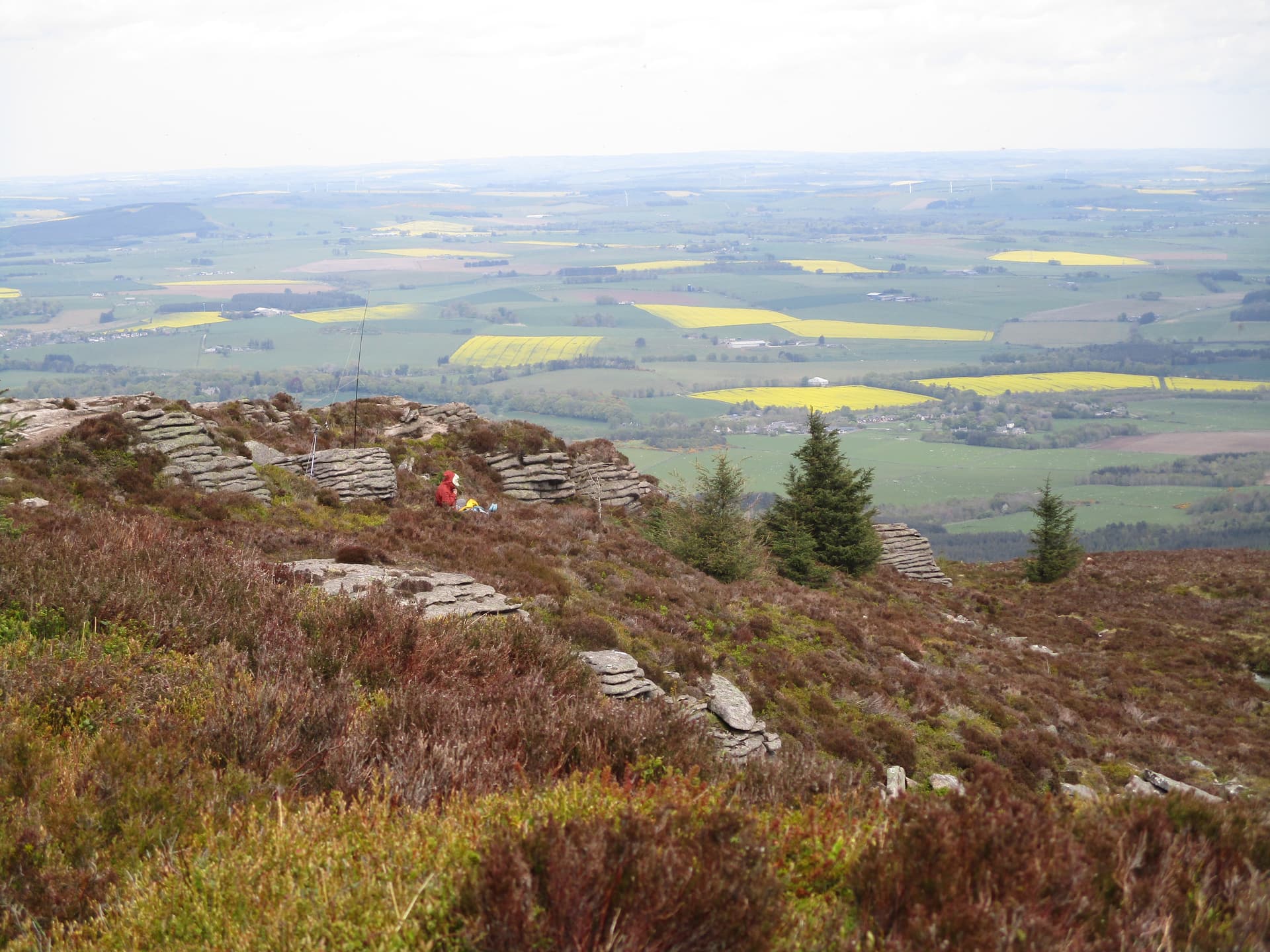
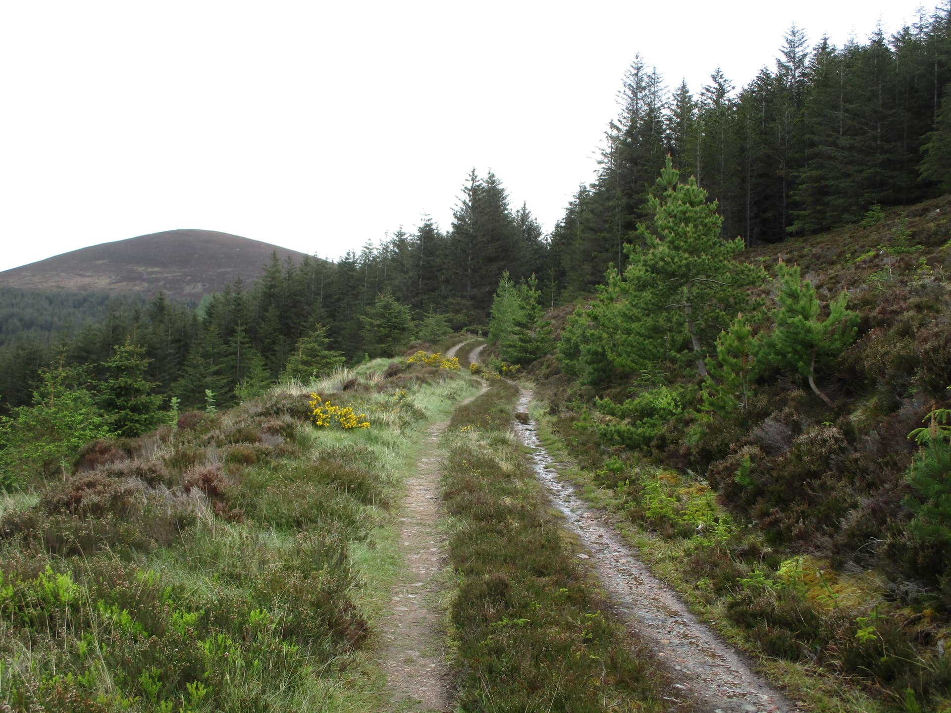
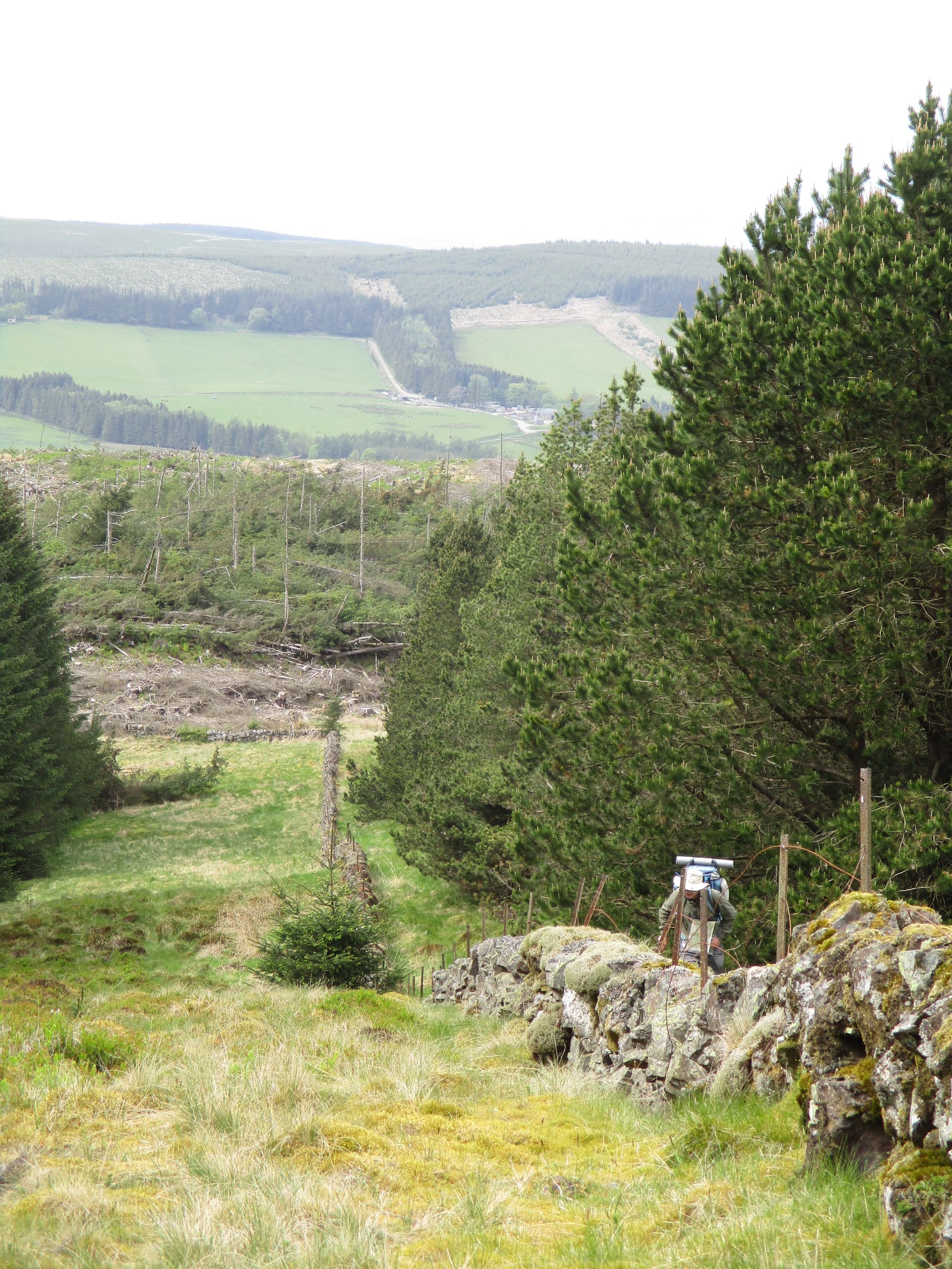
There was then a longish drive east along below the Ochil hills (see tomorrow!) on the A91 to the Yetts of Muckhart and a left turn up Glen Dunning to the forest car park for Innerdouny Hill. We had avoided this hill on previous visits as it looked a long slog along forest roads (it was) and we hadn’t been sure which route actually led to the summit which was apparently clear of trees – if you could find it! This discussion passed the time as we traipsed past more and yet more trees, started our second descent. We then thought we had found the correct path to the right which would lead us down to the Back Burn and up beside another burn to the vital wall up to the summit. It didn’t and the path dwindled to almost nothing so it was the trek back up to the track, use it to cross the burn and then decide how to attack the newly felled Burnt Hill. I decided to use a faint grassy ride and hope things would improve (they did) and the wall was found and followed round the hill and down through the felling to the where it met another wall (which led almost to the summit)

and there was a clear strip beside it up to the summit – what a relief.

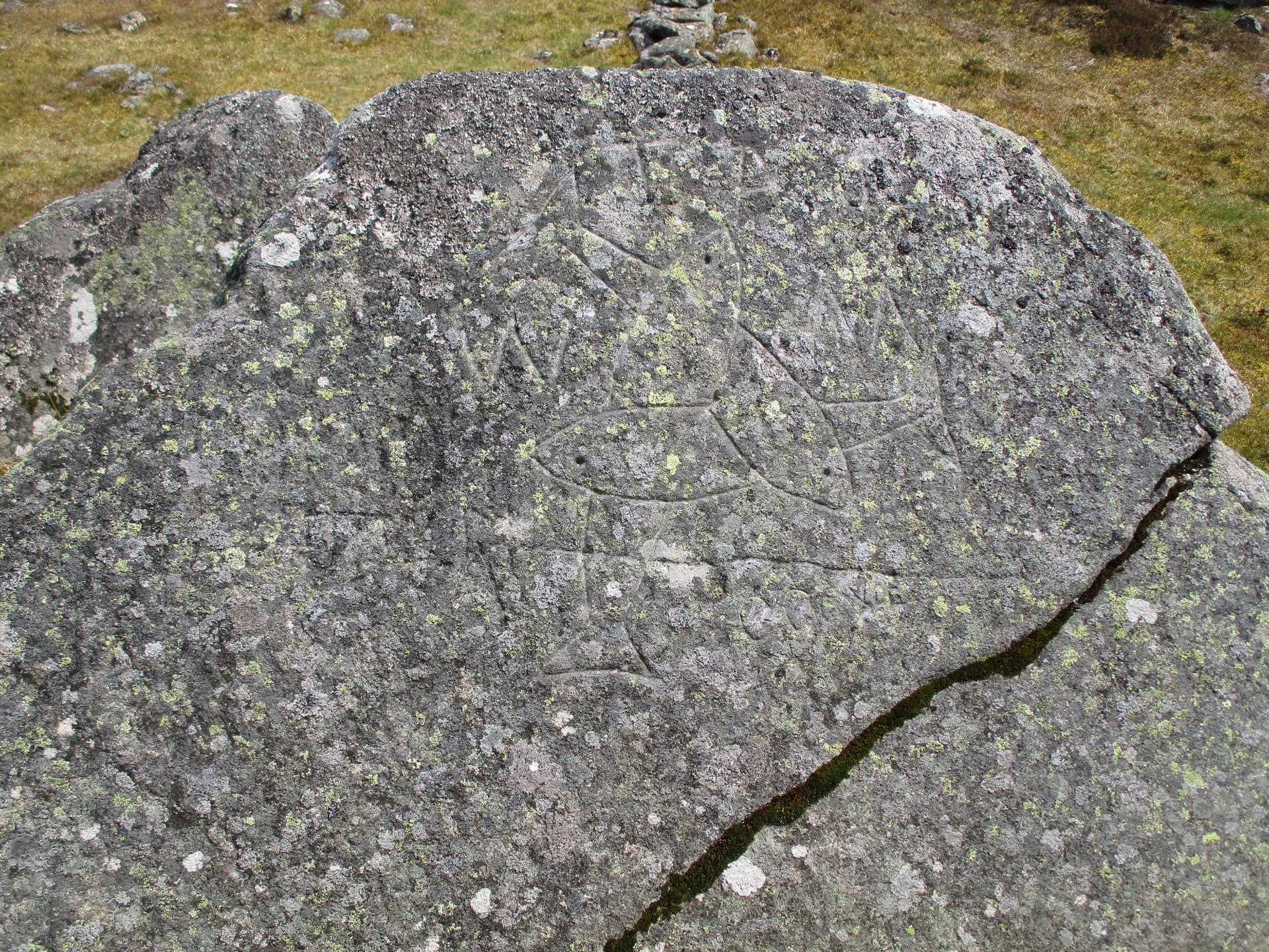
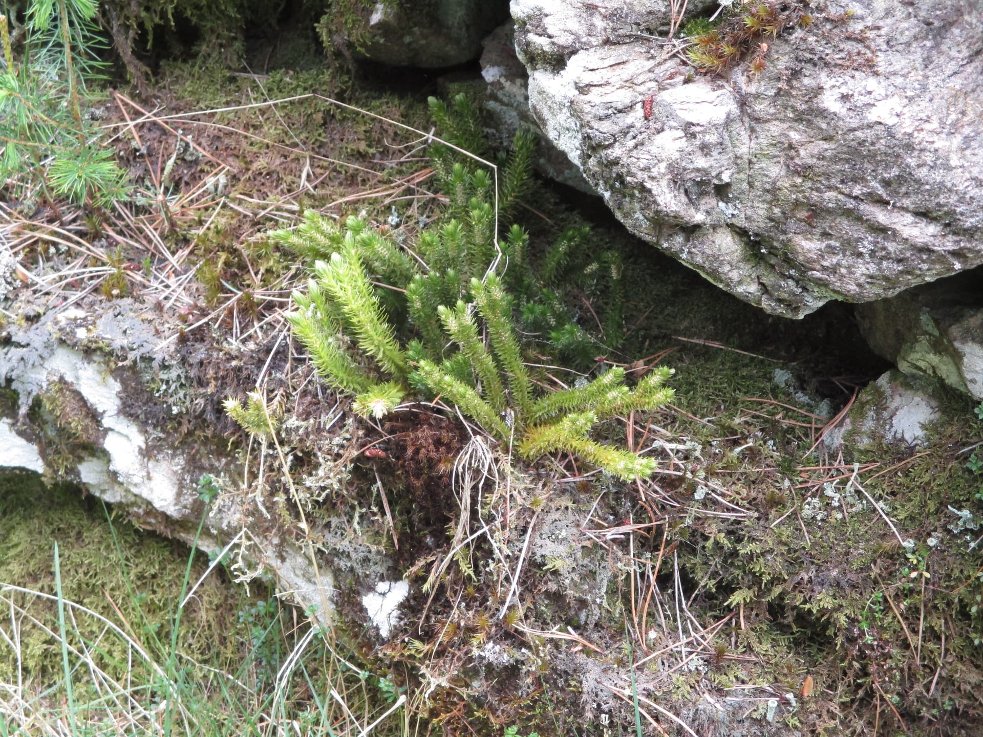
There was even some clubmoss growing on the wall to add to the interest.

M0JLA soon appeared as he had been waiting to see if this route went through and, thanks to our handies, I could give him details of my waypoints so he could join me. (Here follows a lengthy advert for the use of 2m fm on handies when 2 activators are using different routes (eg swapping summits) or just choosing different paths up a hill when the mist rolls in. I wouldn’t feel safe on some of our activations if I wasn’t able to contact Rod at almost any time. The only times this safety has been illusory has been when/if the radio stops working or, more likely, I drop it (on a lowly SW hill and someone walked off with it before deciding to return it as I was obviously searching hard) or when I put it down (on a summit I’d cycled to) to take a photo and forgot to pick it up until I reached the summit - doh!) Where was I?

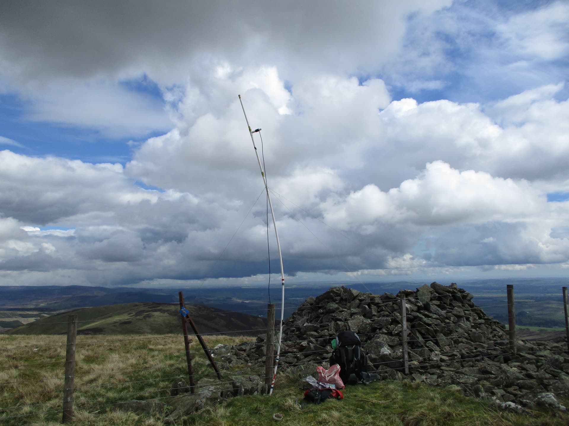
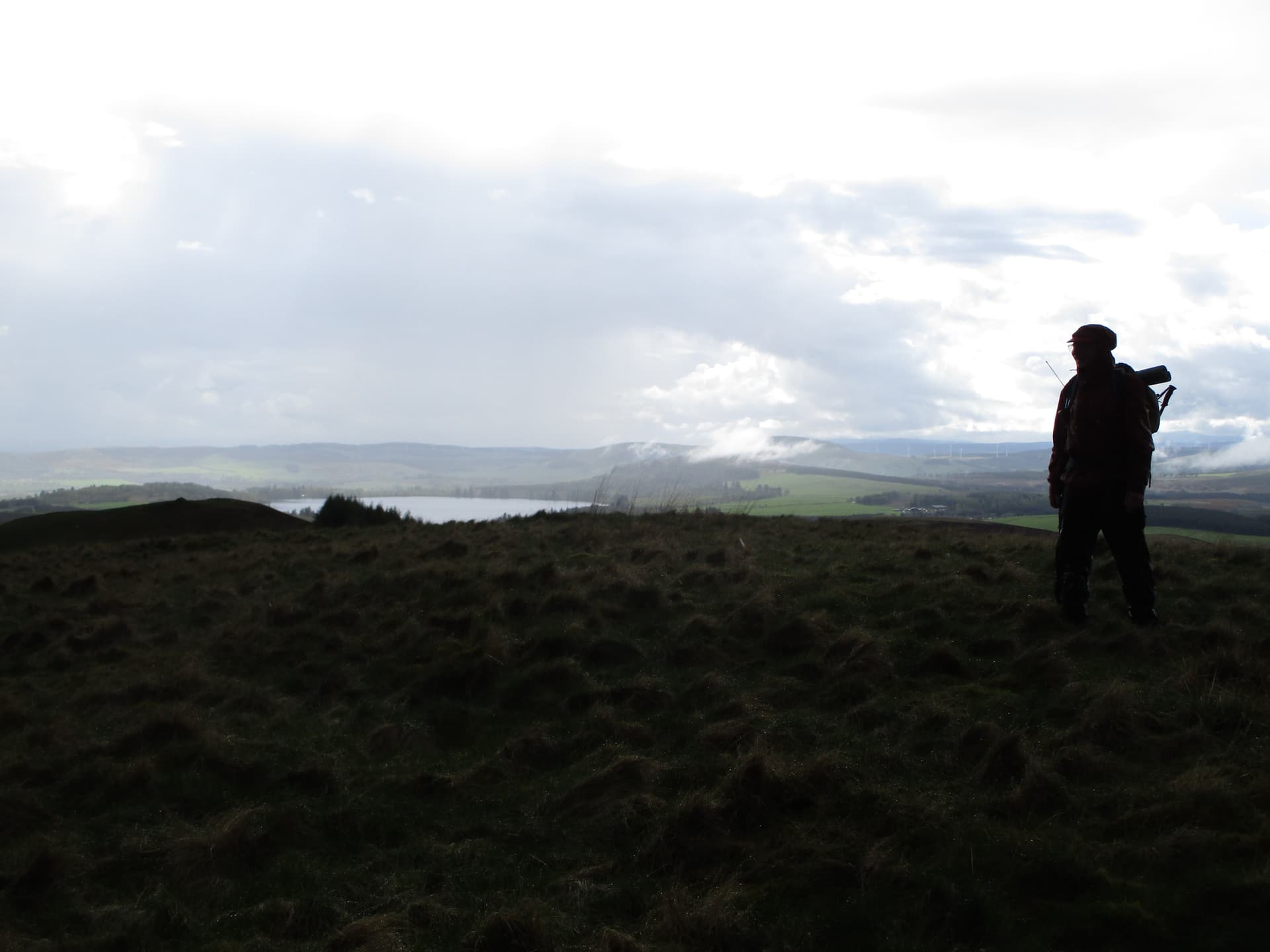
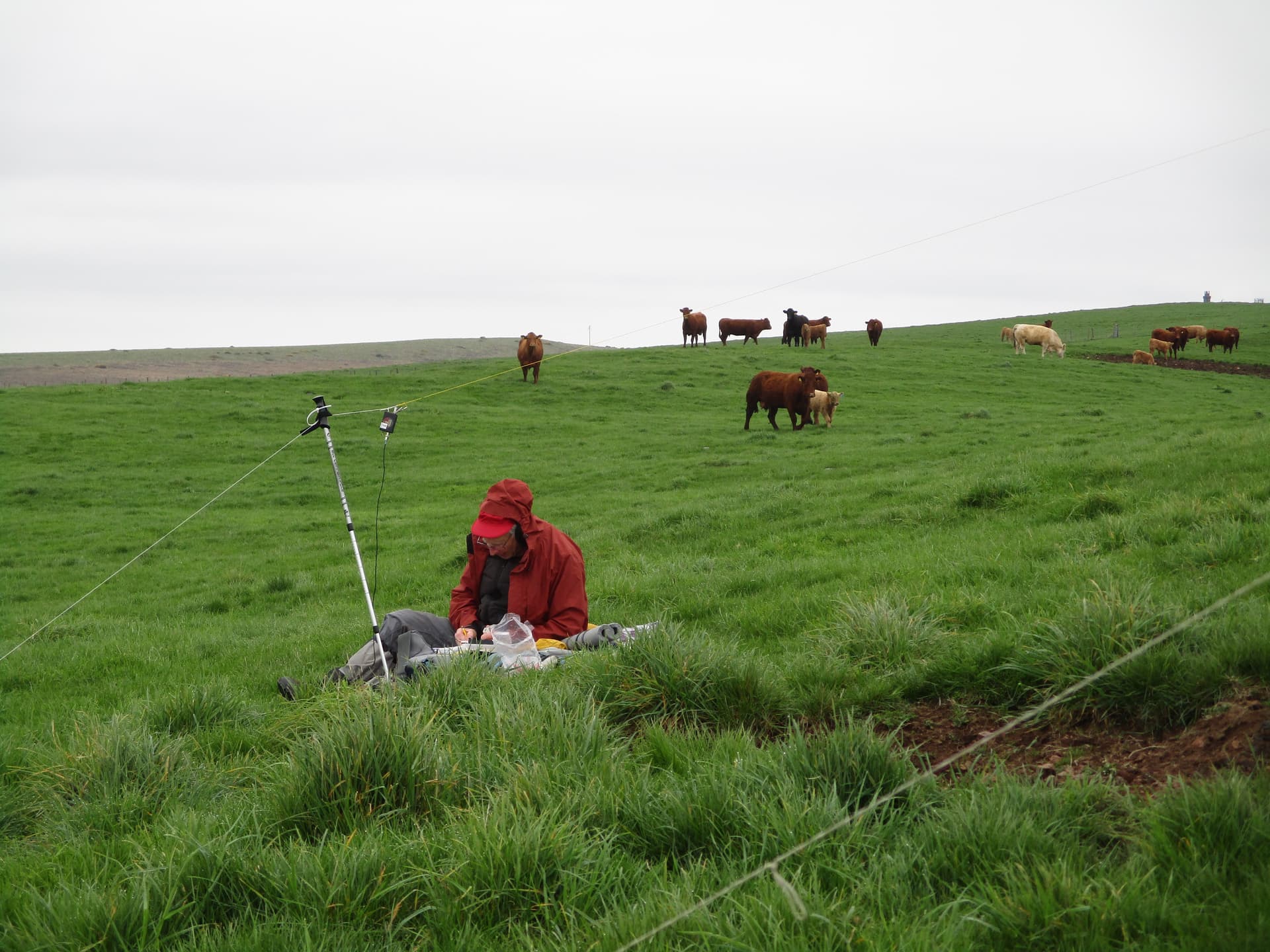
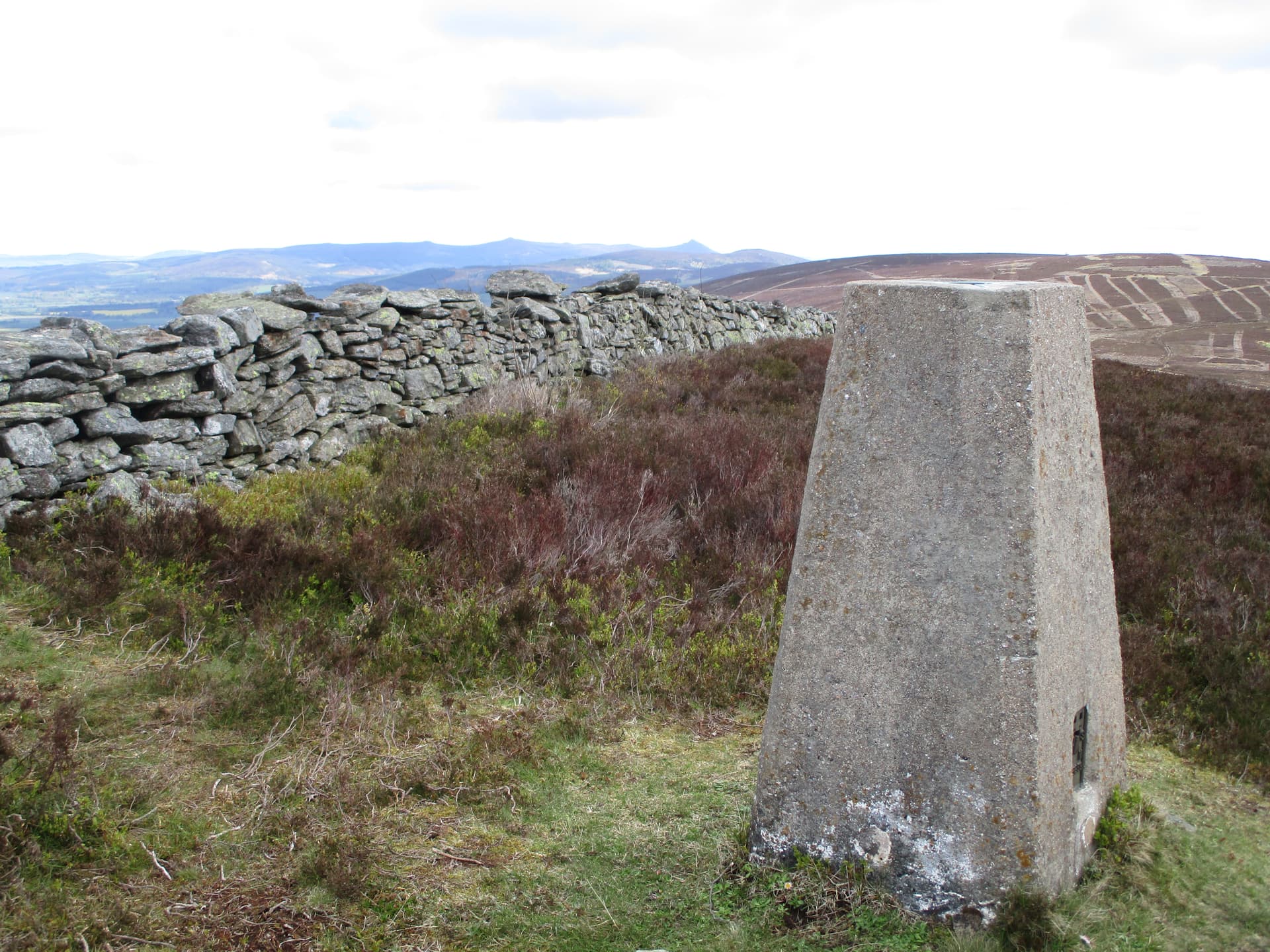
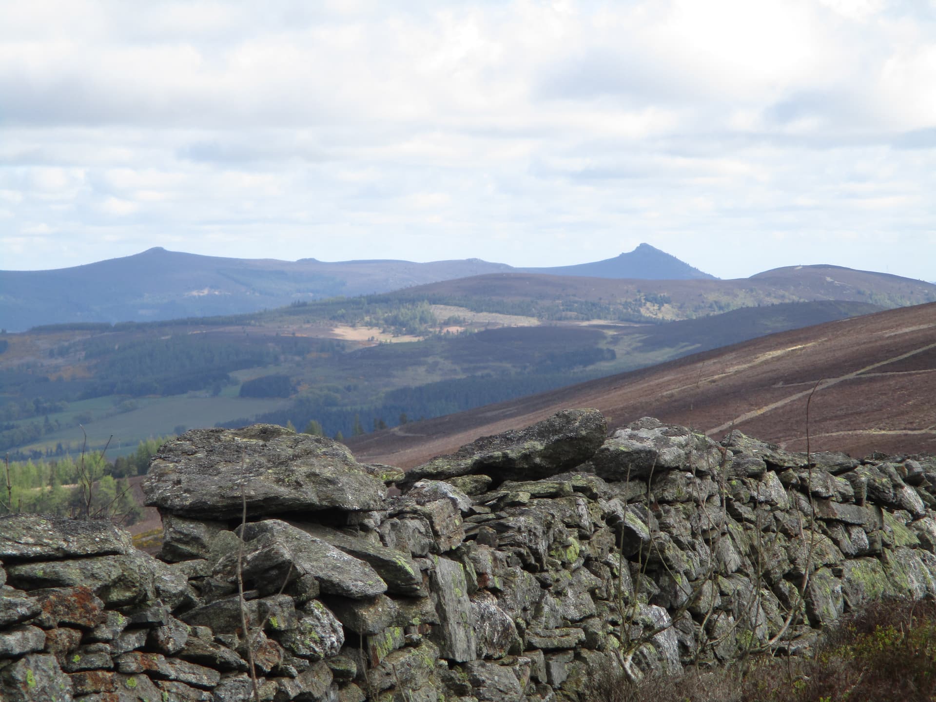
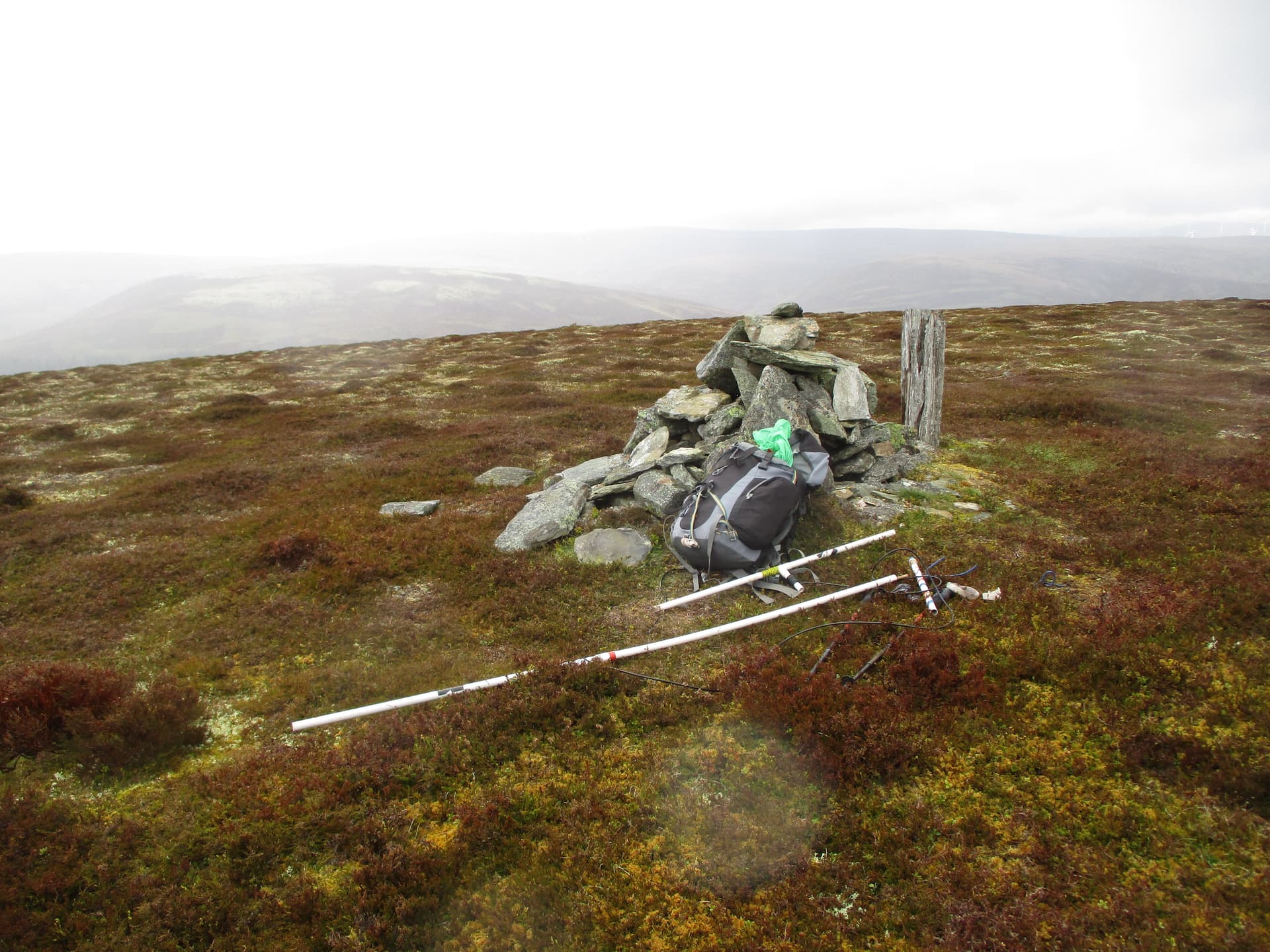
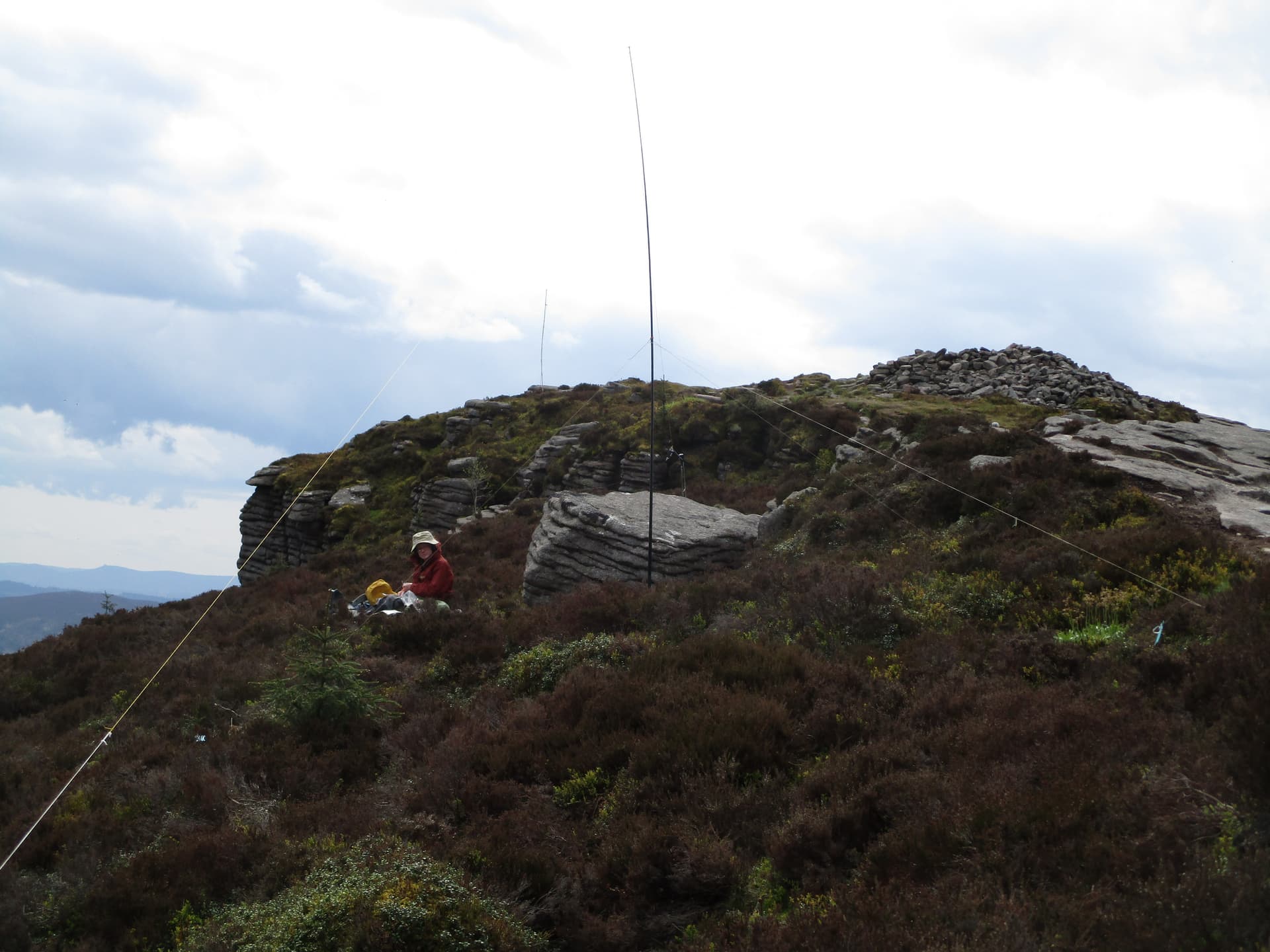
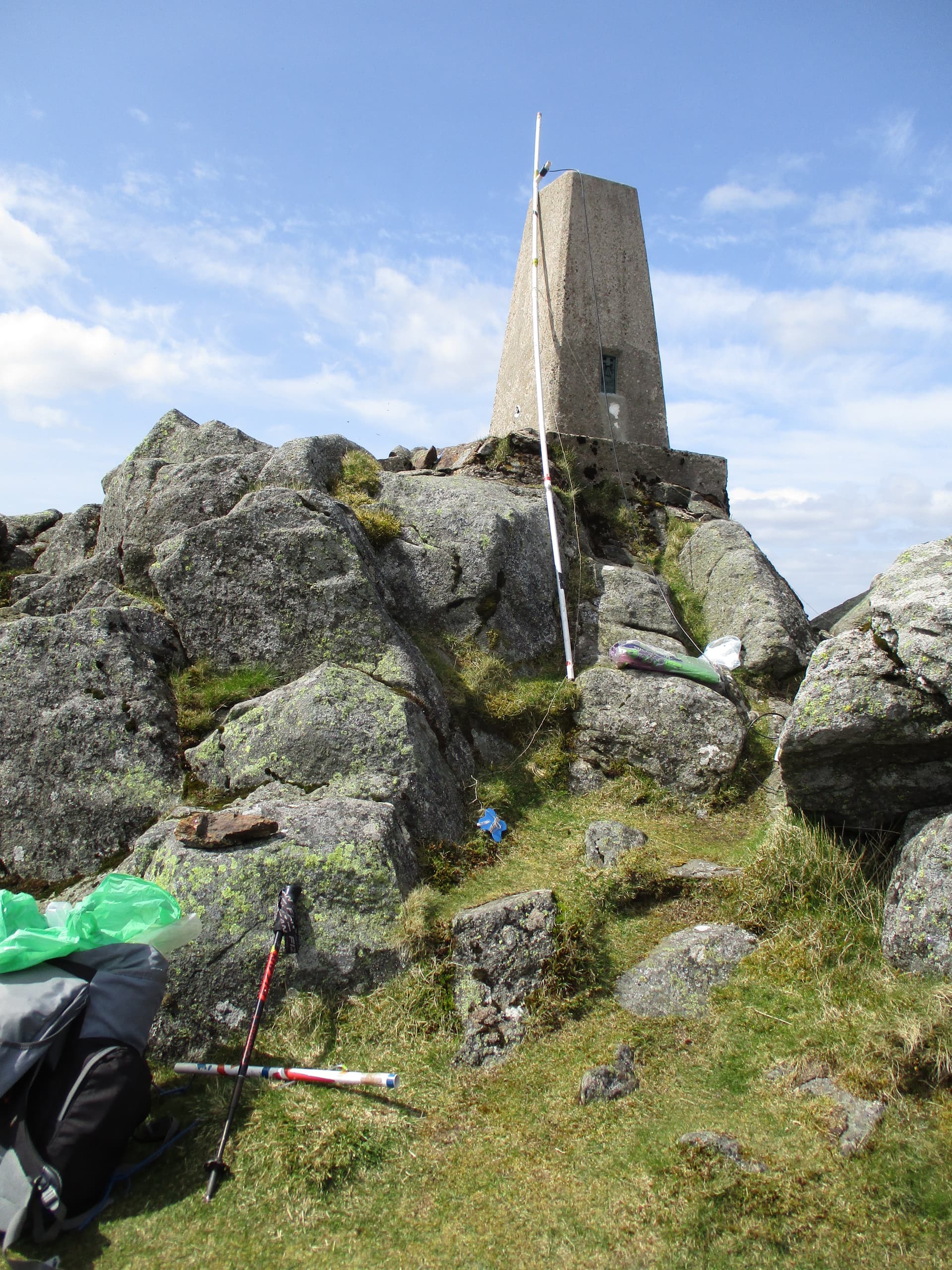
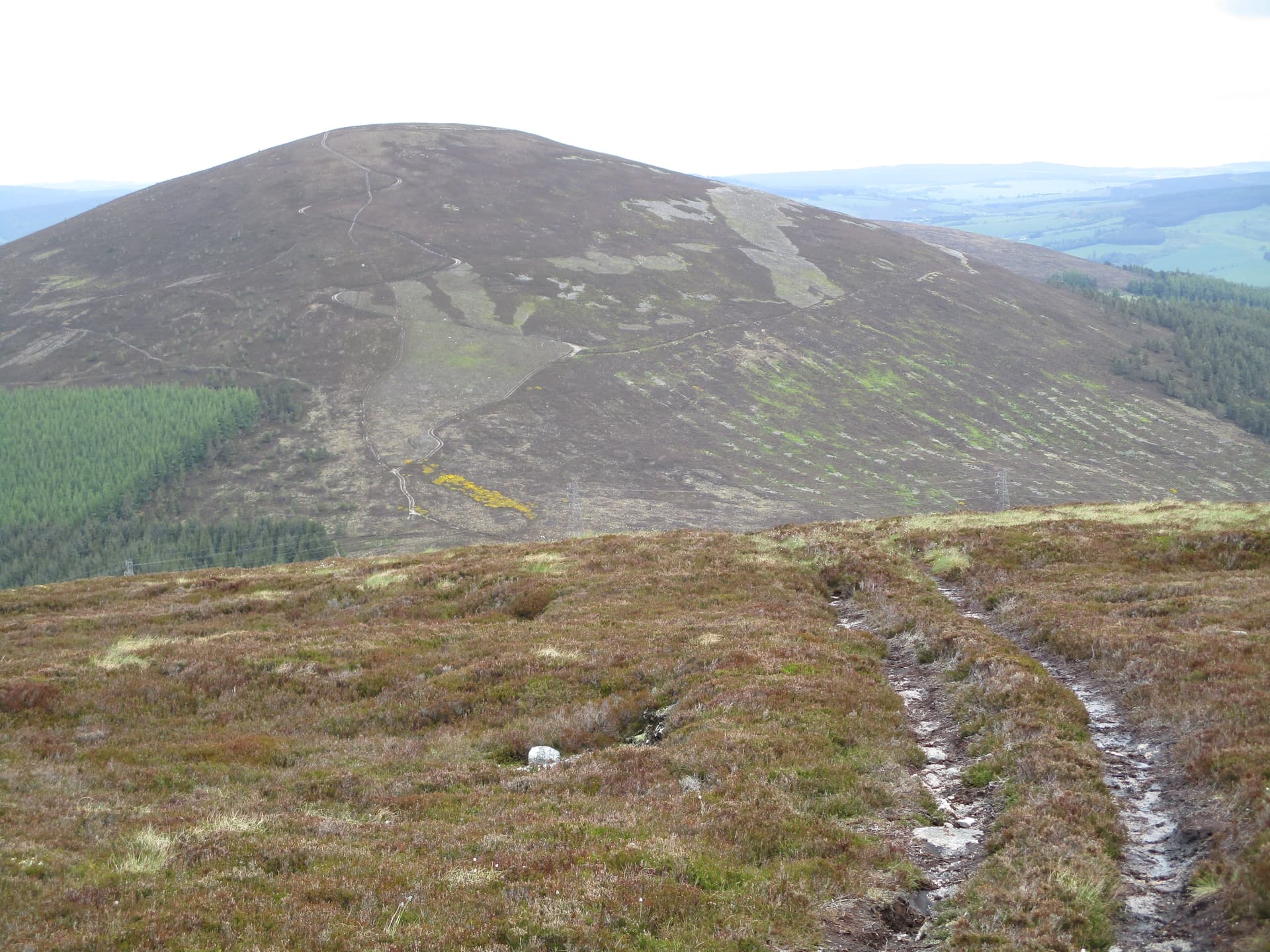
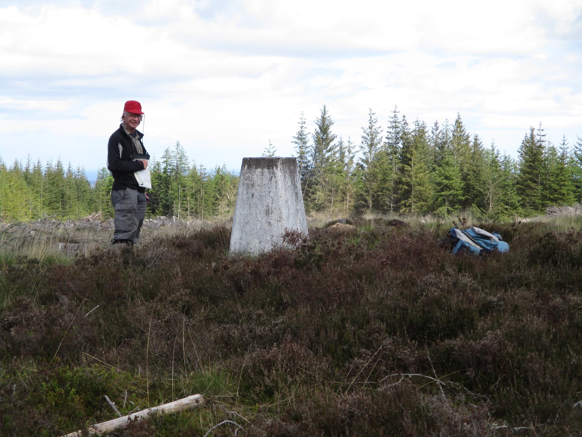
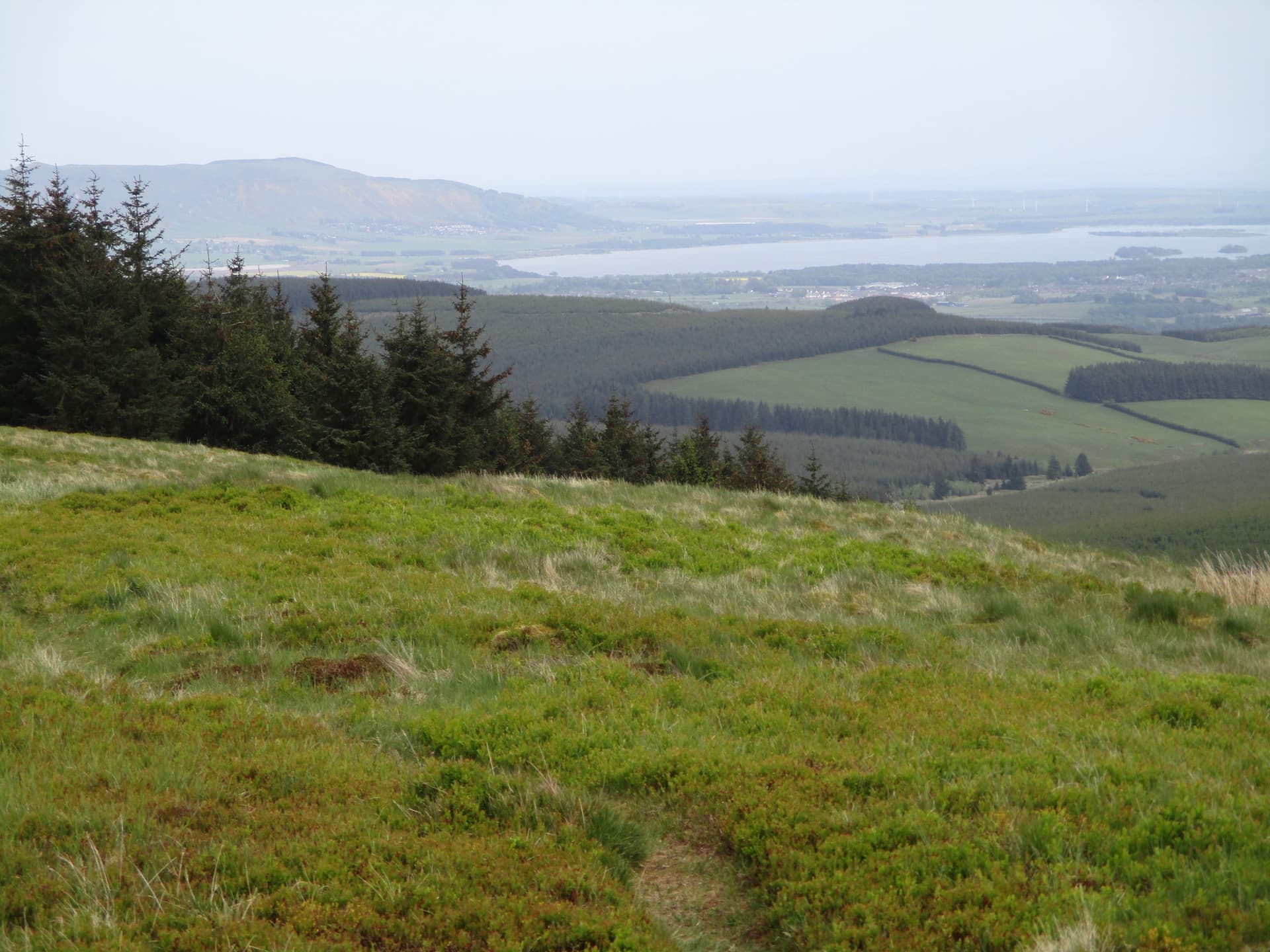
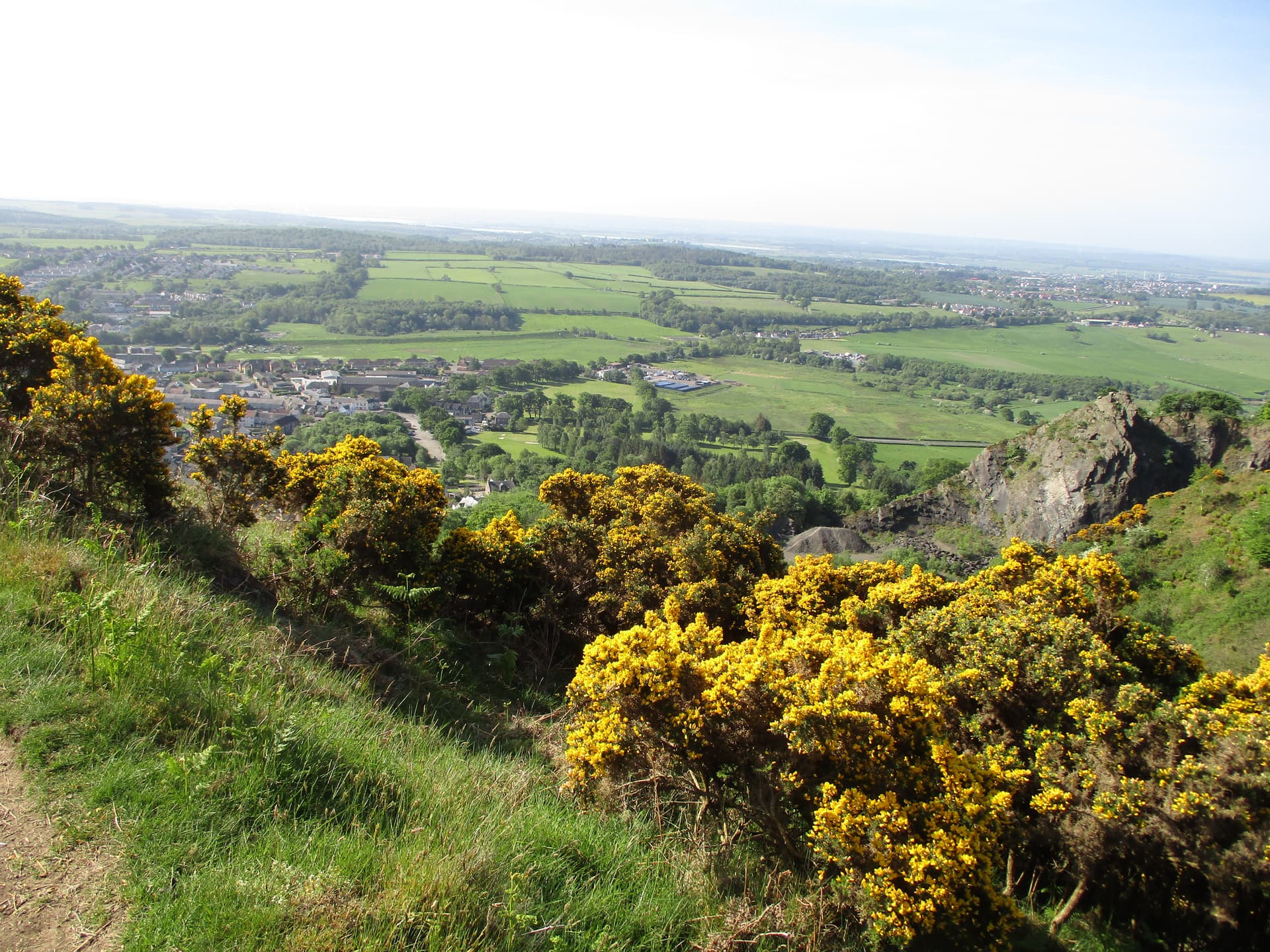
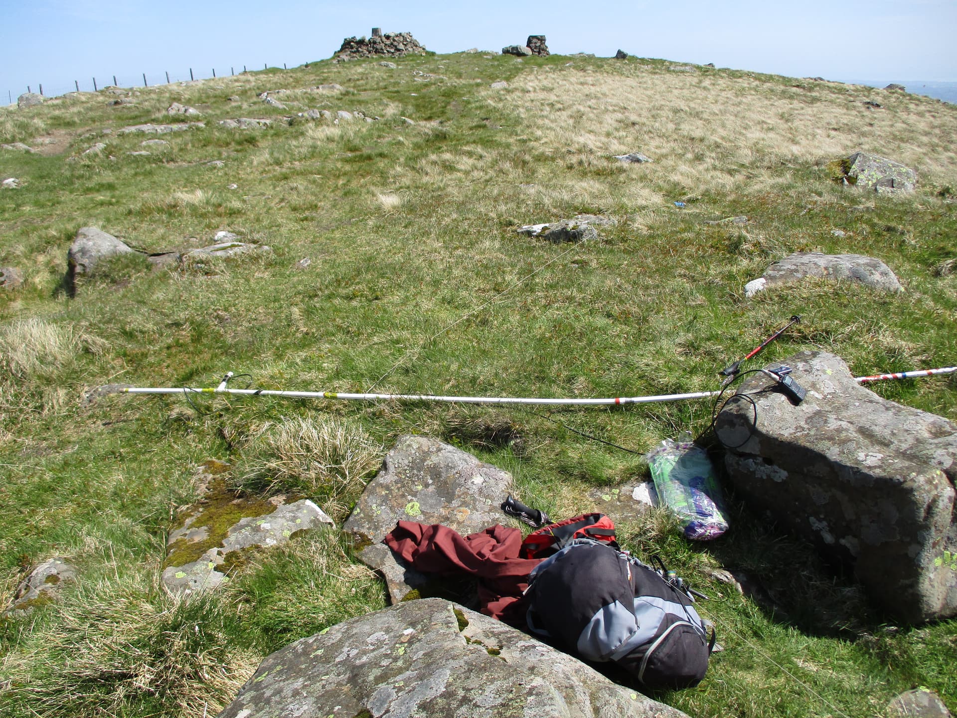
GM/SS-169 Innerdouny Hill the view from the summit over (presumably) to Kinross and Loch Leven with Bishop Hill (GM/SS-187 which is still on the ‘to do’ list).

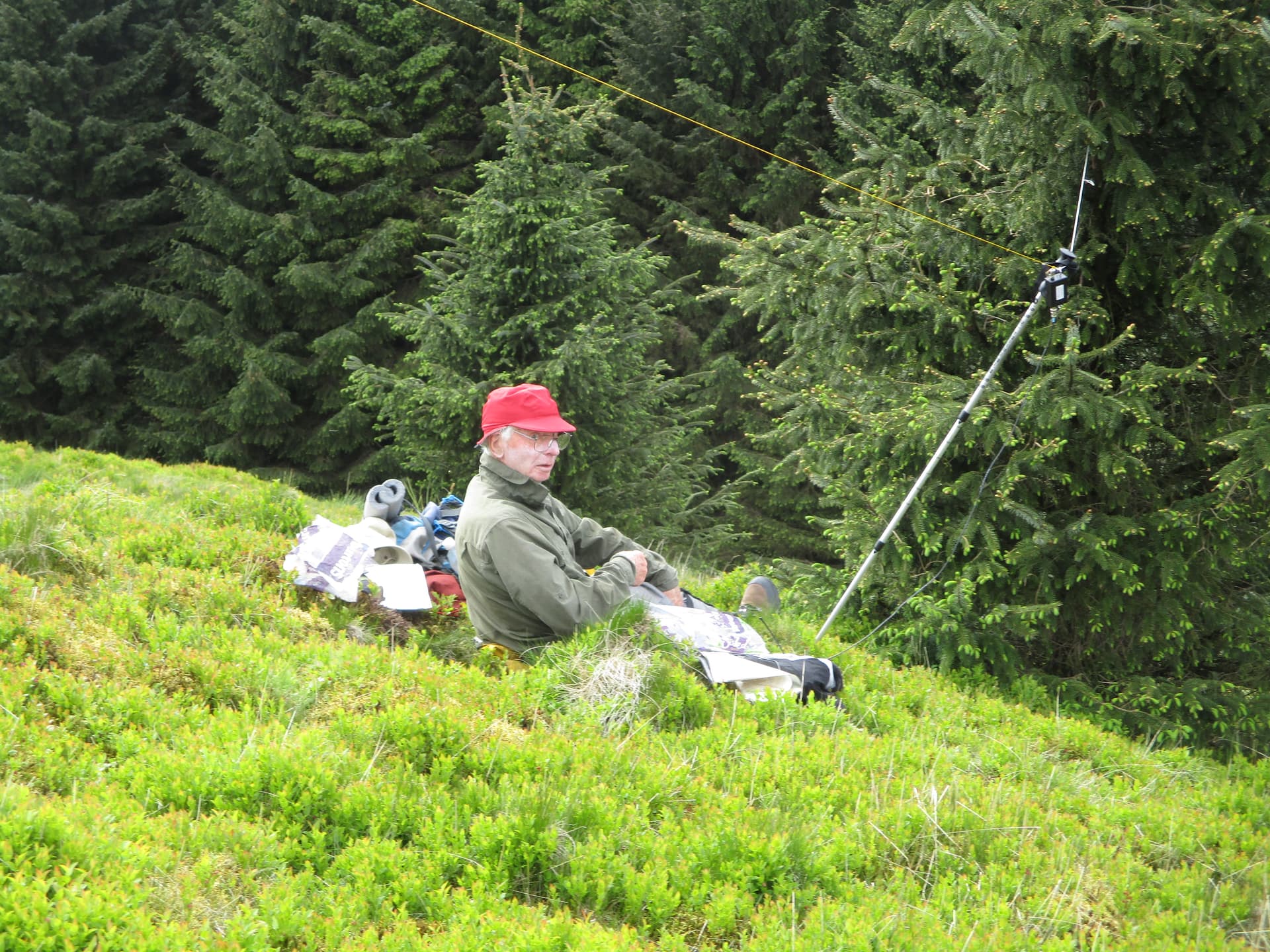
I stayed close to the trig but, once again,

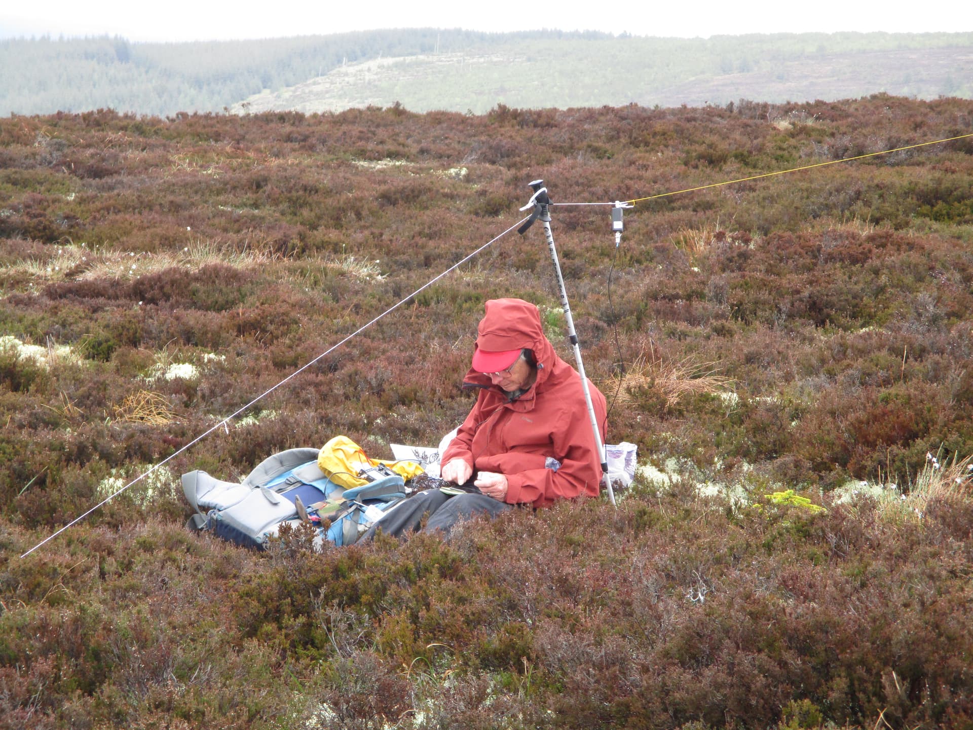
M0JLA was installed in a comfy spot with some shelter from the trees below

I was amazed to find I’d got 17 contacts (7 on 70cm) within 40 mins from this lowly summit. I was obviously not used to being within reach of centres of population like Edinburgh and Perth but it was heartening to find that it was worth the effort of finding a route up this rather awkward hill. On our way down it was obvious that there was a path up beside the wall from the NE which would have been considerably easier but would have added another 1km or so to the track walk in each direction – but no problem if on a bike!

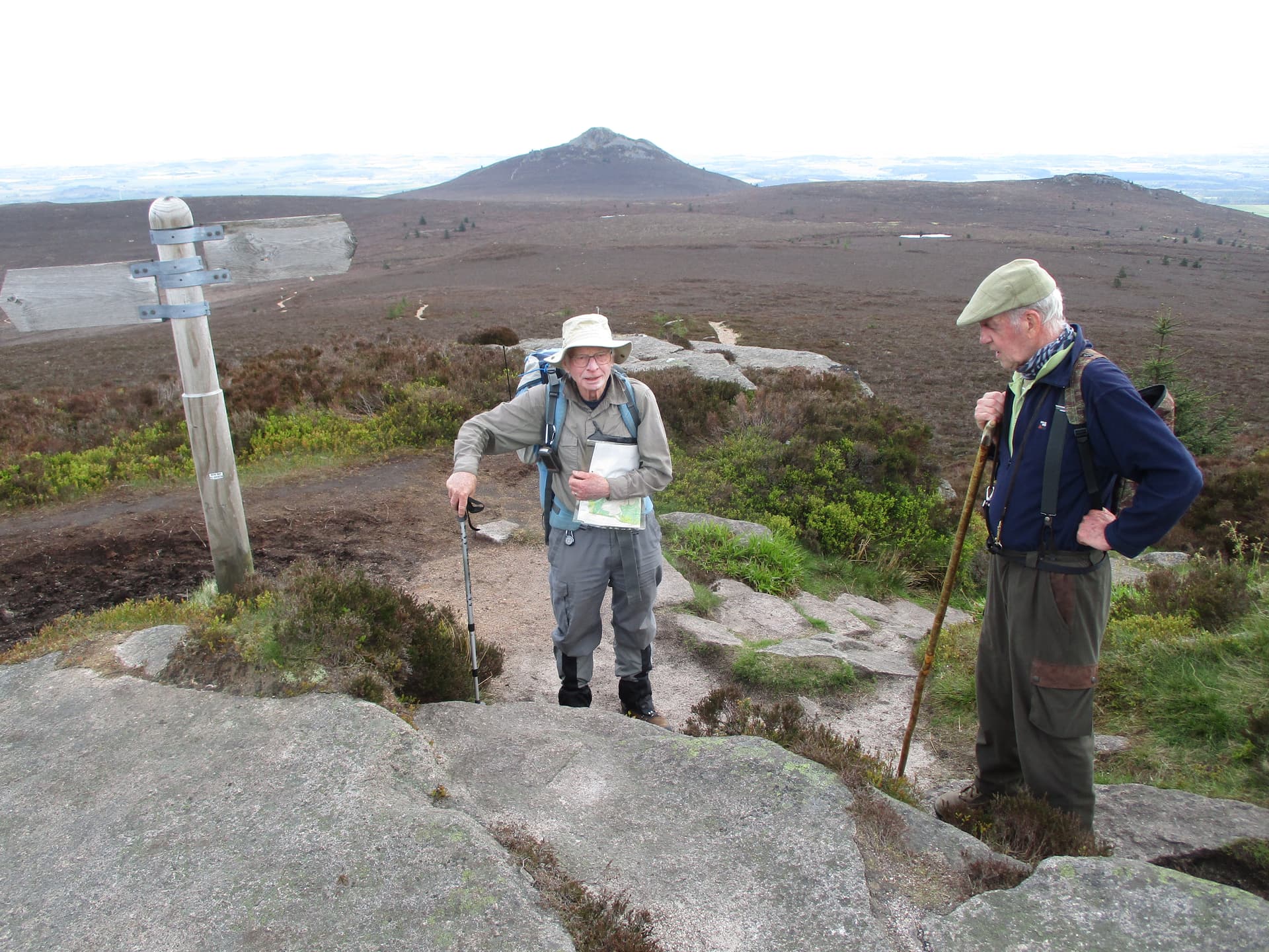
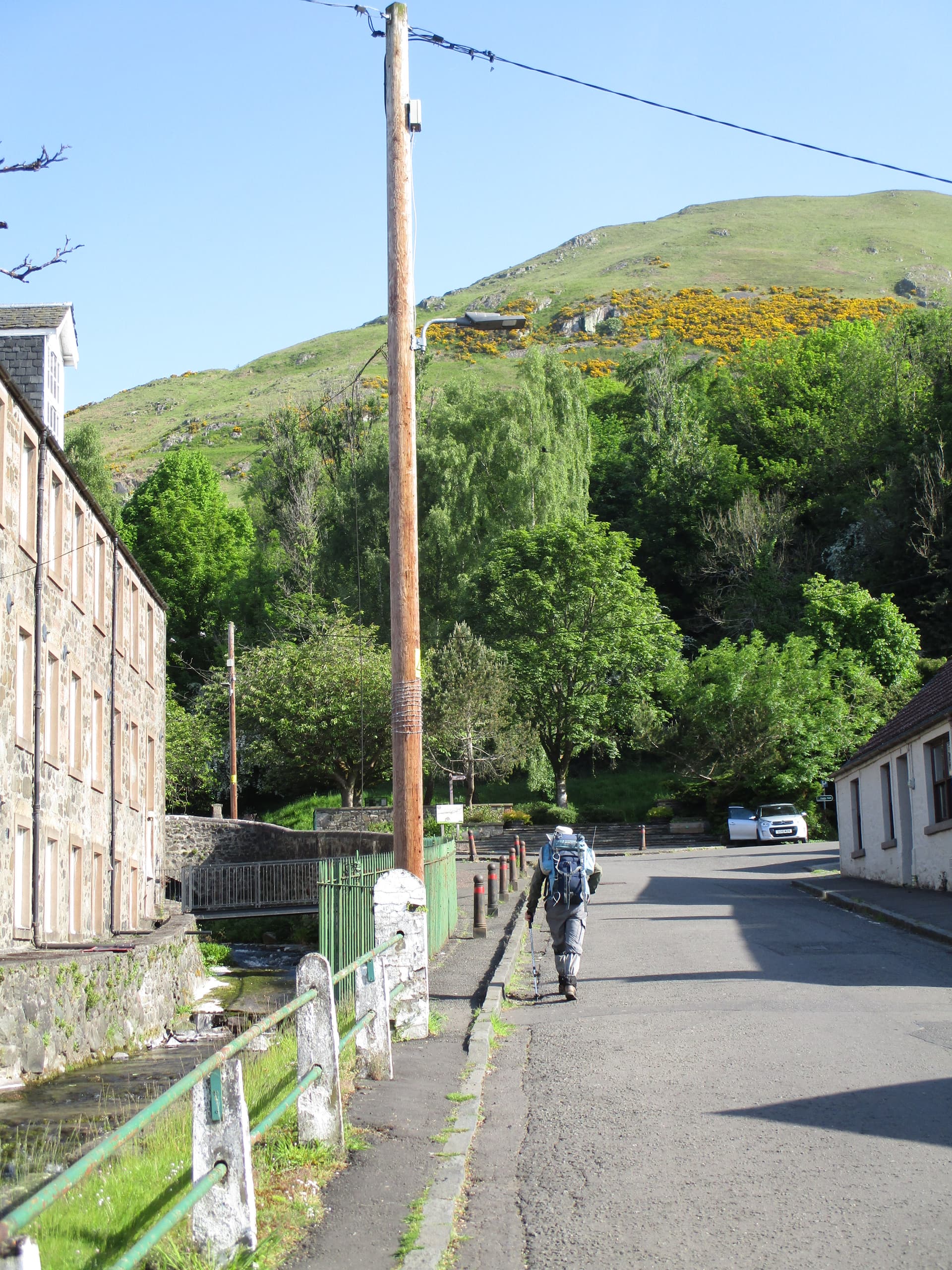
Monday, 20 May was our last Scottish walking day and the sun shone yet again so it had to be that steep ascent to Ben Cleugh, the top of the Ochil hills, which we had glimpsed the previous day. We parked with no difficulty in Tillicoultry

and Rod was soon on his way up to the rapidly ascending path.

and the houses below quickly became smaller

but he was still well ahead!

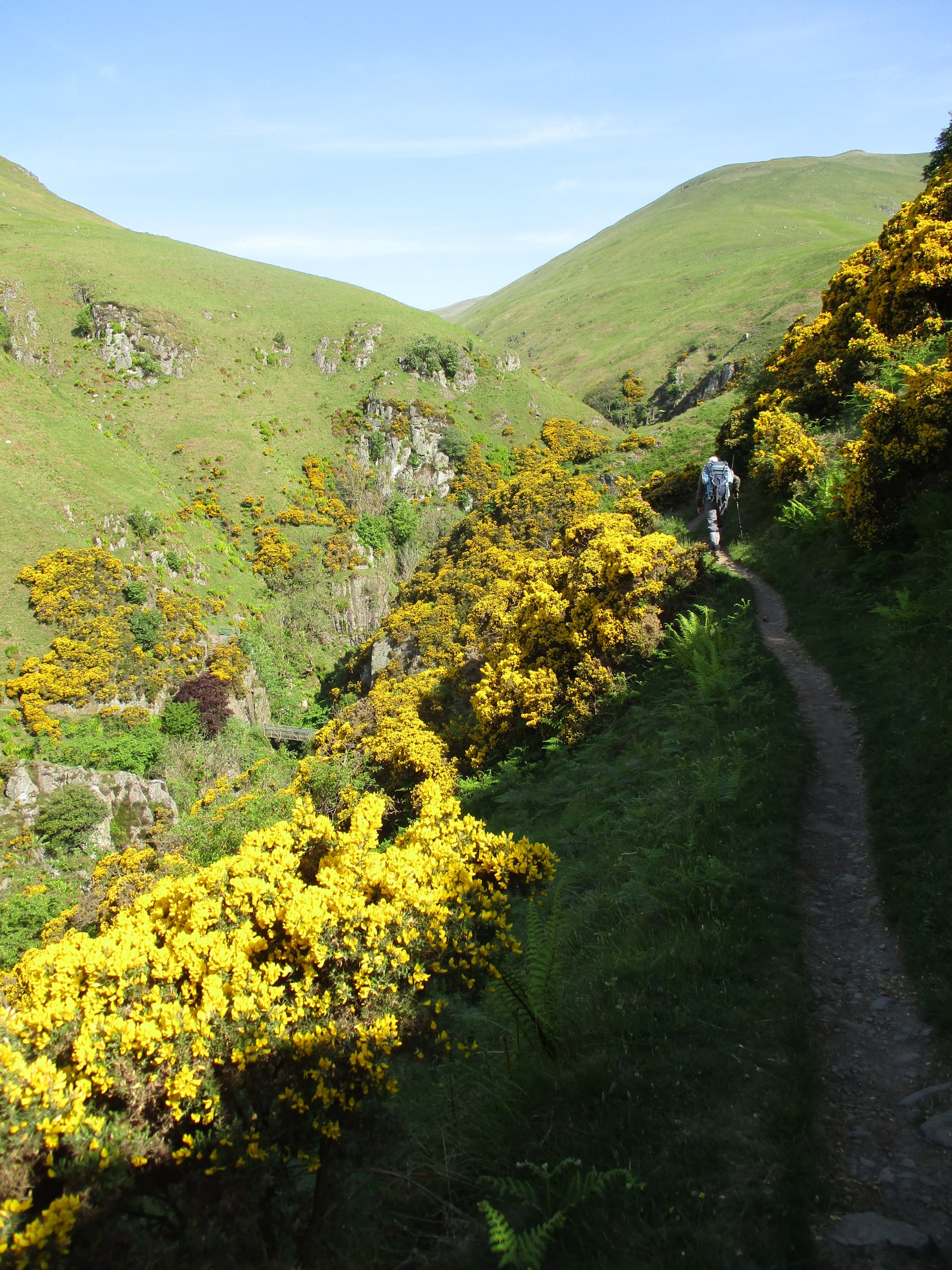
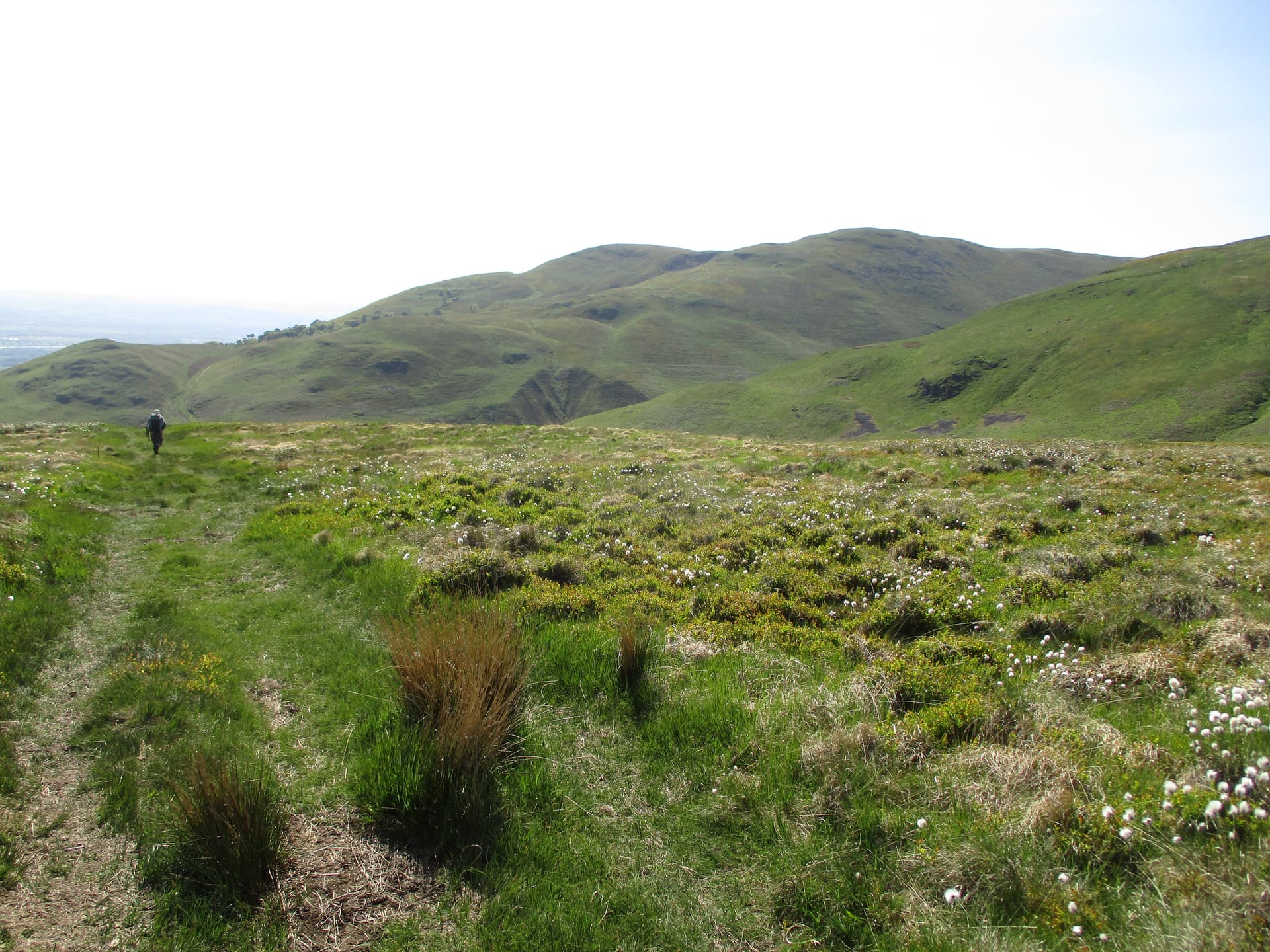
We had been warned that the direct route over The Law was very steep and had planned to fork right and approach the summit over Andrew Gannel Hill but gradually realised that we must have missed the turn as the Mill Glen was getting narrower.

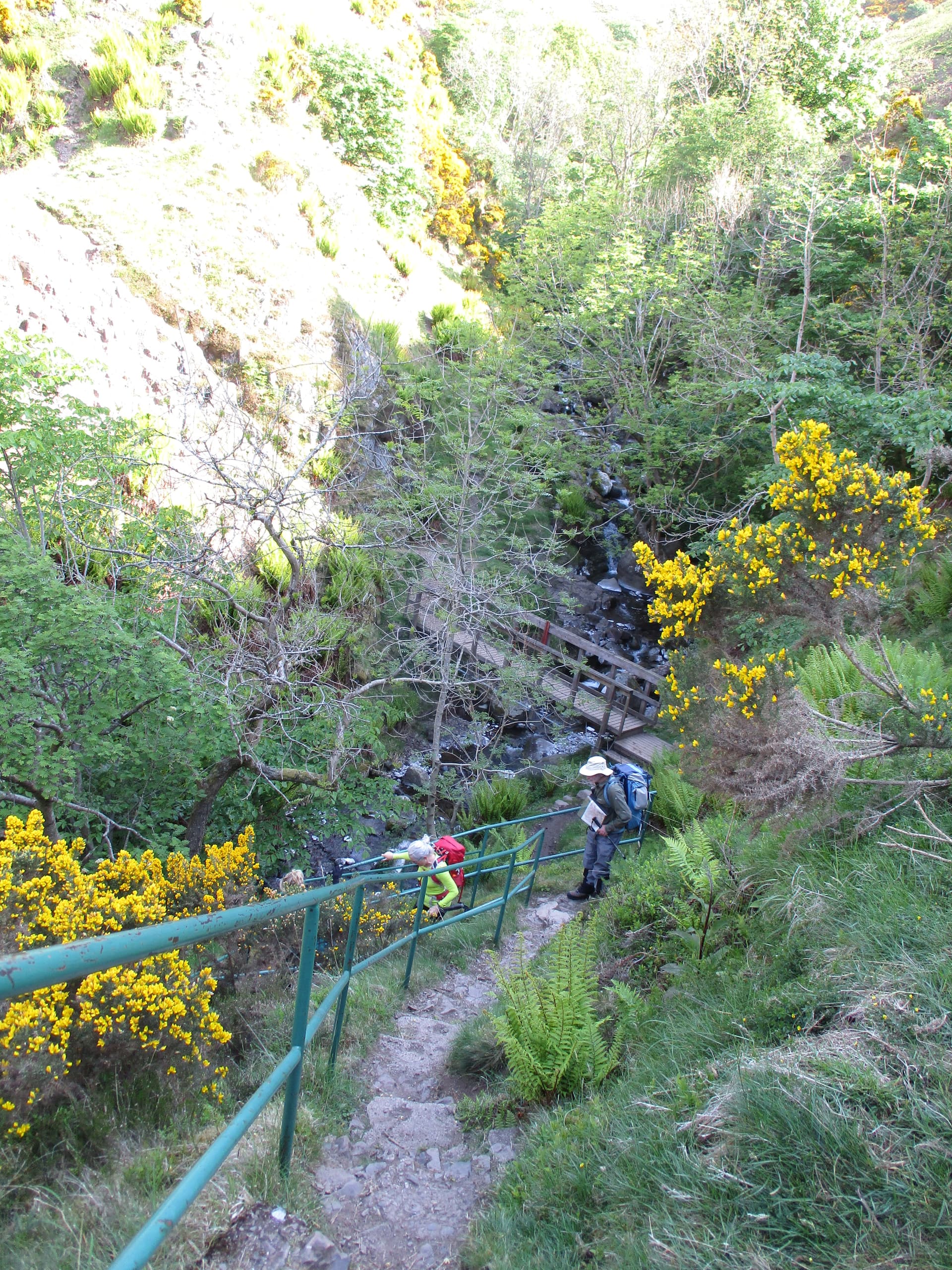
We soon had to descend sharply to cross the Gannel burn.

I had some difficulty getting down and up the rock each side of the crossing but we went very slowly (it was hot) up the slope and, after a rest on The Law, we ambled along the path to

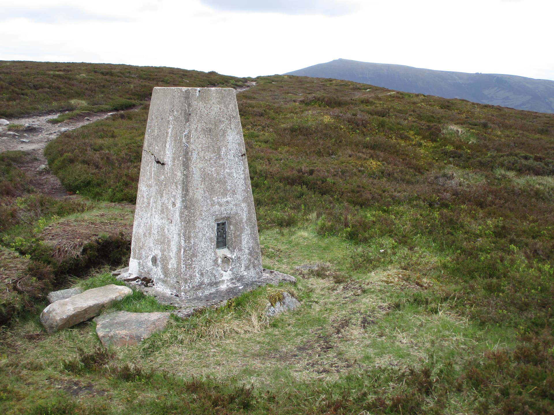
GM/SS-059 Ben Cleuch 721m which was obviously popular with cyclists (who had used different routes!)

As usual on a popular summit, I chose to set up some way from the trig and but obviously was not at my brightest as, when the wind veered, everything went rather quiet!

Despite the rather hot conditions we decided to have a leisurely stay so it was 21 contacts (8 on 70cm) in 70 mins including MI0VFC Rob on Slieve Mealbeg GI/MM-005 264km (my longest s2s this year so far!) and GM7FIE Ian on Dumyat GM/SS-216 7km (a complete!!) and also MMA75GJ Ali at Queensferry who was over from Qatar with a guest callsign, apparently.

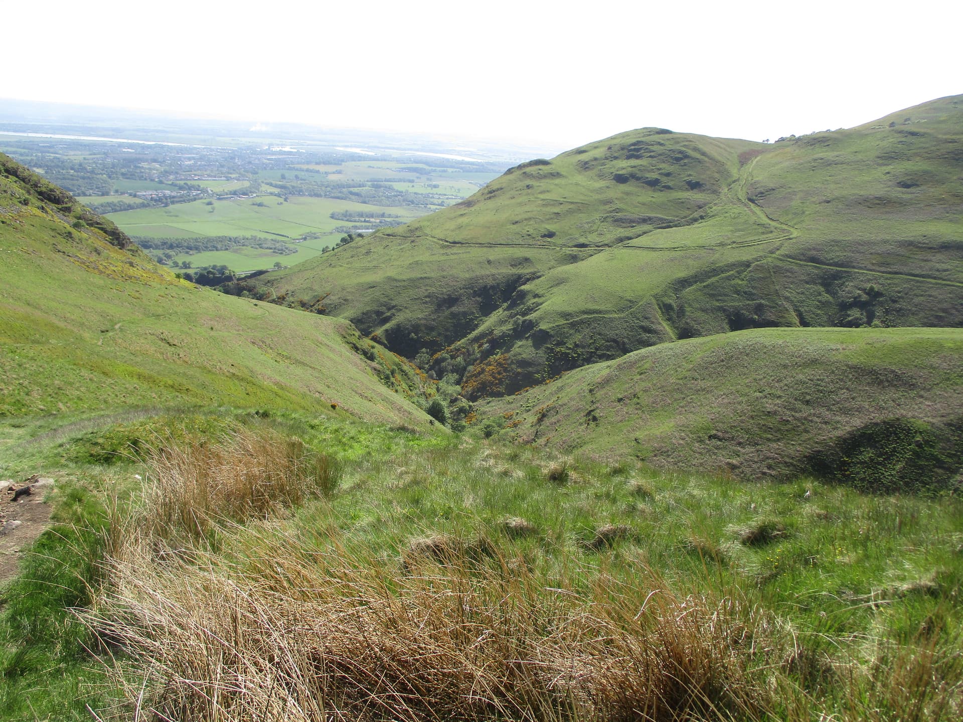
It was a long, but gentle, walk down the Andrew Gannel Hill route

with time to look over the narrow glen we had walked up but

we knew we soon had to descend rapidly and re-join our upward path. We then solved the mystery of how we’d miss the fork as we joined just after a bench above the path. We hadn’t realised, on the way up, that the path up to the bench went on behind it and up the ‘gentle’ way. Oh well, I won’t say ‘next time…’ as I’m sure we won’t be up this one again as it was about 700m of ascent in less than 4km – a bit steep for us!

This was then the end of our Scottish 3 week ‘expedition’ (it was certainly no holiday in the relaxing sense) but we had a wonderful time thanks to the mainly good weather but there has turned out to be an unfortunate souvenir from the trip, possibly exacerbated by the long hot drive over the following 2 days. Some six weeks later I am still having leg/hip muscle problems and have been unable to get out on the hills or even to garden comfortably ever since. I am hoping a GP physio will have some answers for me in a few days time. I did get up Seager Hill as a test the other day but was not encouraged to venture further. There is a silver lining for anyone who has lasted to the end of this marathon account – it will be some time before you will have to endure another of these multi-day accounts, from me, anyway!

73 Viki M6BWA

13 Likes

Great report, many thanks.

The yellow plant might be Dyer’s Greenweed, Genista tinctoria. It’s a plant more of meadows but there is a prostrate form. My book says it reaches southern Scotland but with global warming…

3 Likes

It was good to be part of your adventure while I was on my MC/SOTA tour and enjoying some great S2S QSO’s from GM/NS summits.
Andy
MM7MOX

3 Likes

What a great report Viki. It is a captivating read and really brings the trip to life.

I hope that you’re leg/ hip makes a swift recovery and look forward to meeting you on a hill, or 70cm.

73, Kevin

3 Likes

The signal path between you two crossed right over the extensive Ben A’An plateau. Although much higher, it has a curved whaleback ridge. Could the signals have refracted* over the top?


Balmoral Cairn to GM/CS-112

I had a similar experience when on Morrone. I worked Gavin @GM0GAV whilst staring at the huge dome of Glas Maol in front of me.


Morrone to Inchture

The graphs don’t really show how flat those summits are though.

*I’ll happily swap refracted for a more accurate term

4 Likes

Viki it was great to meet you and Rod on Du…myat!
There are signs of a hill fort on nearby Castle Law which was the stronhold of the Maeatae the local tribe!

Dumyat is only 5 minutes or so from my home so it is a regular walk for me and I like to say hello to visitors hi.

Sorry you missed the turn for the Andrew Gannell hill route to Ben Cleuch, the route over the Law to Ben Cleuch is pretty steep but…much quicker.

Hope you recover soon to get back on the hills.

73 Rob GM3YTS

2 Likes

Thanks for the excellent picture John. We considered Dyer’s Greenweed but I had only ever seen it in a field before rather than on windswept moorland and the flowers didn’t seem dense enough at the end of the spike. Your picture (and the book illustrations) showed a large cluster there and, also, the flowers seem to be a different shape as my next picture indicates, The keel (pointed bit) is shorter than the standard (the bit that sticks up) while in the picture below, the keel is obviously longer.

This then brings me back to Petty Whin (Genista anglica) which I dismissed as my shrub wasn’t spiny but a larger book says ‘usually spiny’ and ‘Britain scattered localities throughout’ - so perhaps we found one of them! Anyone else like to join in??
73 Viki

2 Likes