Logistics
10 night stay in a hotel in Paphos
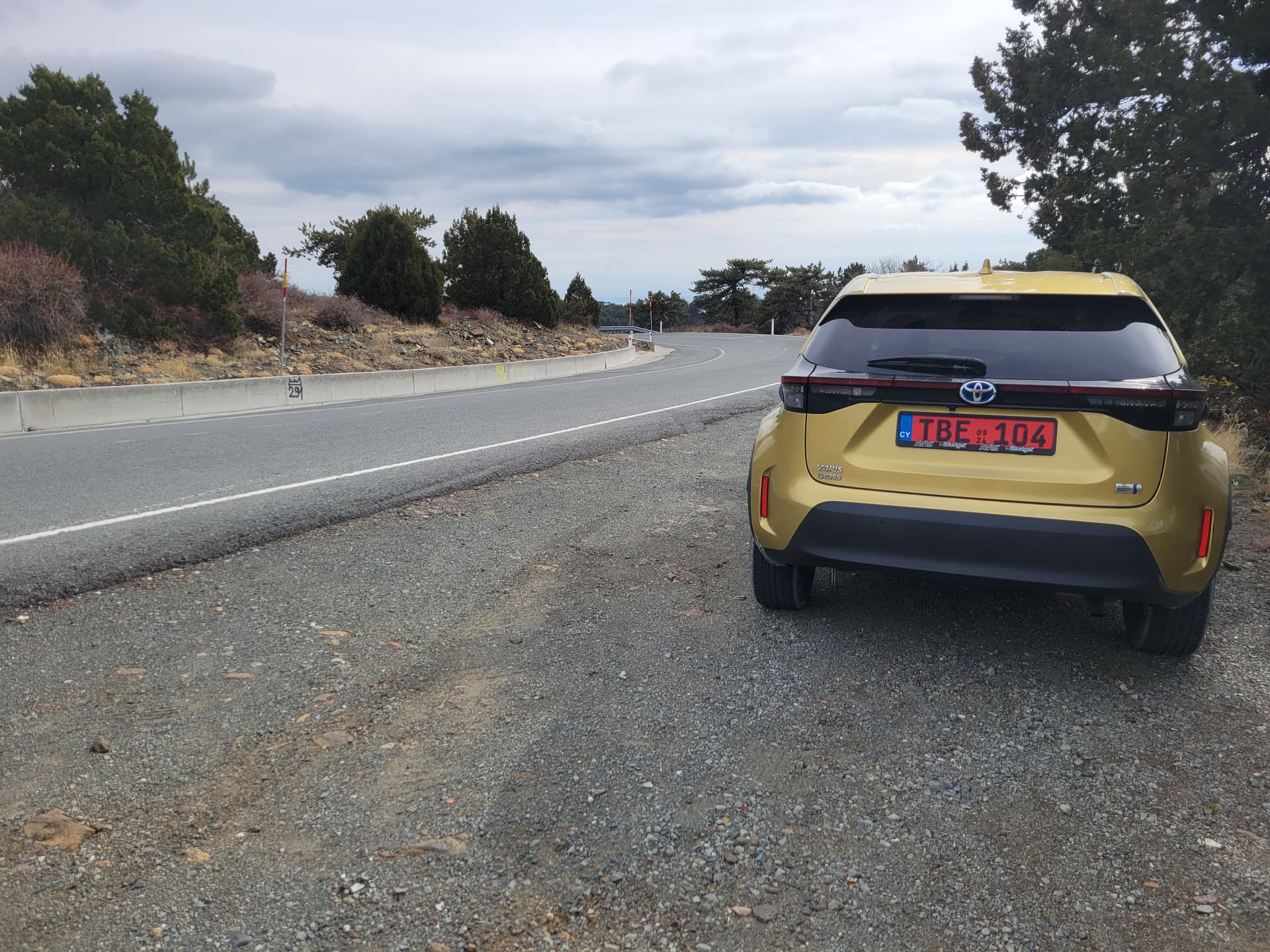
8 Day car rental - 2WD car, but “SUV” style with extra ground clearance. Dire warnings about driving on unsurfaced roads, which as usual I ignore…. carefully!
Road routing via Google Maps. I’d been warned of recent issues with GNSS (GPS) jamming related to regional conflicts, but in the end I didn’t experience any issues.
Roads were a big positive surprise, in marked contrast to my recent experience on Corfu. They were generally of high quality, with good surfaces and many routes appeared to have been widened in recent years. However, in the higher mountains the roads were incredibly twisty and at times narrow. Google maps timings appeared initially to be very long… I assumed that I’d be able to go quicker… I was wrong! On the plus side the mountain roads were generally very very quiet.
Local sunset was around 16:30 and was a planning factor for the summits activated.
Temperatures were ideal for walking. Mostly shirt sleeve weather, but colder on the very highest summits and much colder on the two wet days.
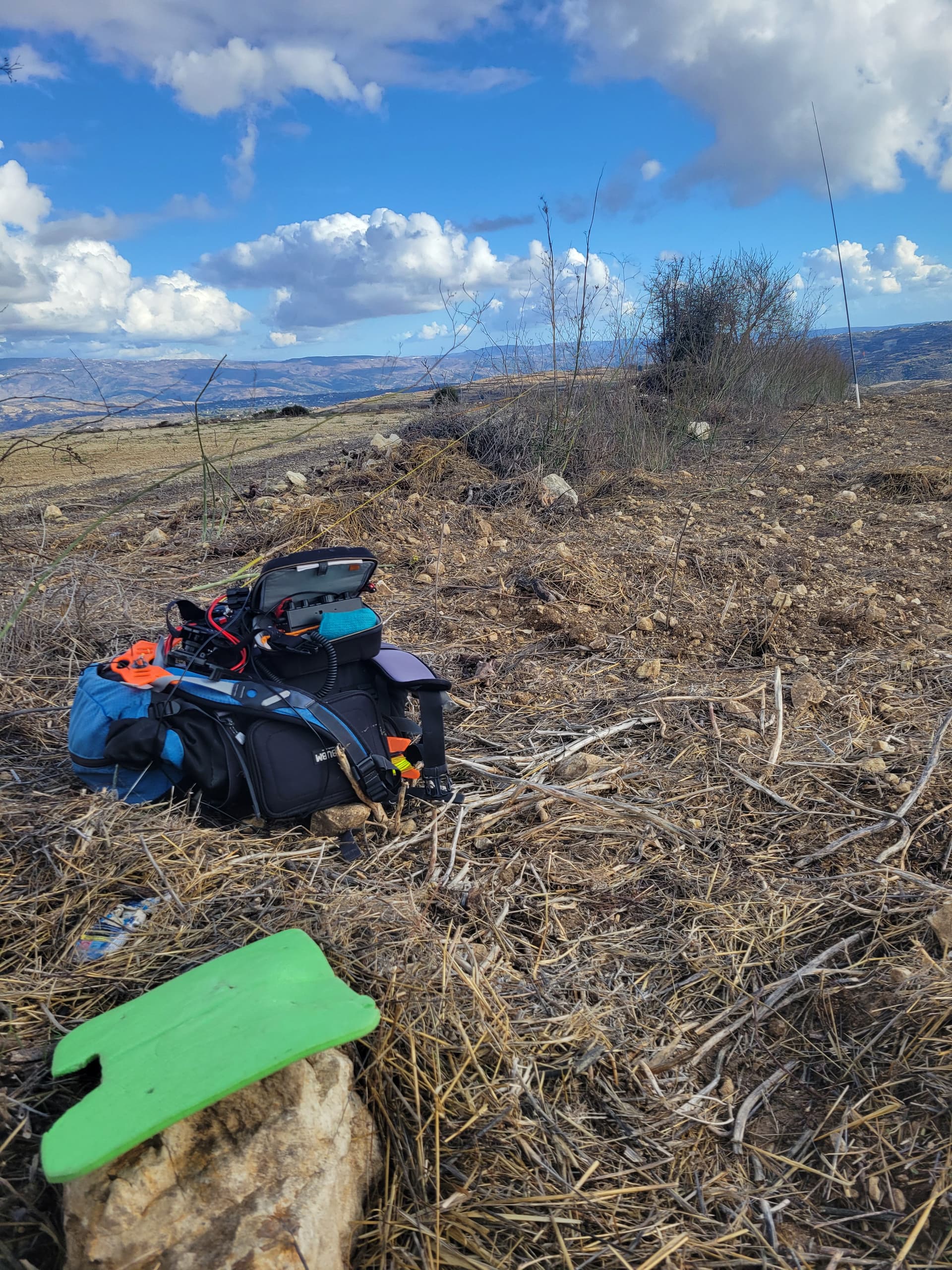
Kit (includes spares in case of damage or loss)
KX2, with internal tuner. Used on all activations.
QMX. Spare, unused.
3 x 3000mAh batteries - 2 carried each day, only 1 used.
EFHW x2 (1 spare)
Carbon6 pole x2 (1 spare)
Logging via PoLo App
Planning via SOTLAS, SOTA Summits Database, big thank you to AI4SV for useful summit and route info for several of the summits.
Diary
Day 1 Sun 30NOV25
Late arrival at hotel.
Day 2 Mon 01DEC25
10am car pickup in central Paphos, so I thought I’d “get my eye in” with a couple of nearby roadside 2pt summits.
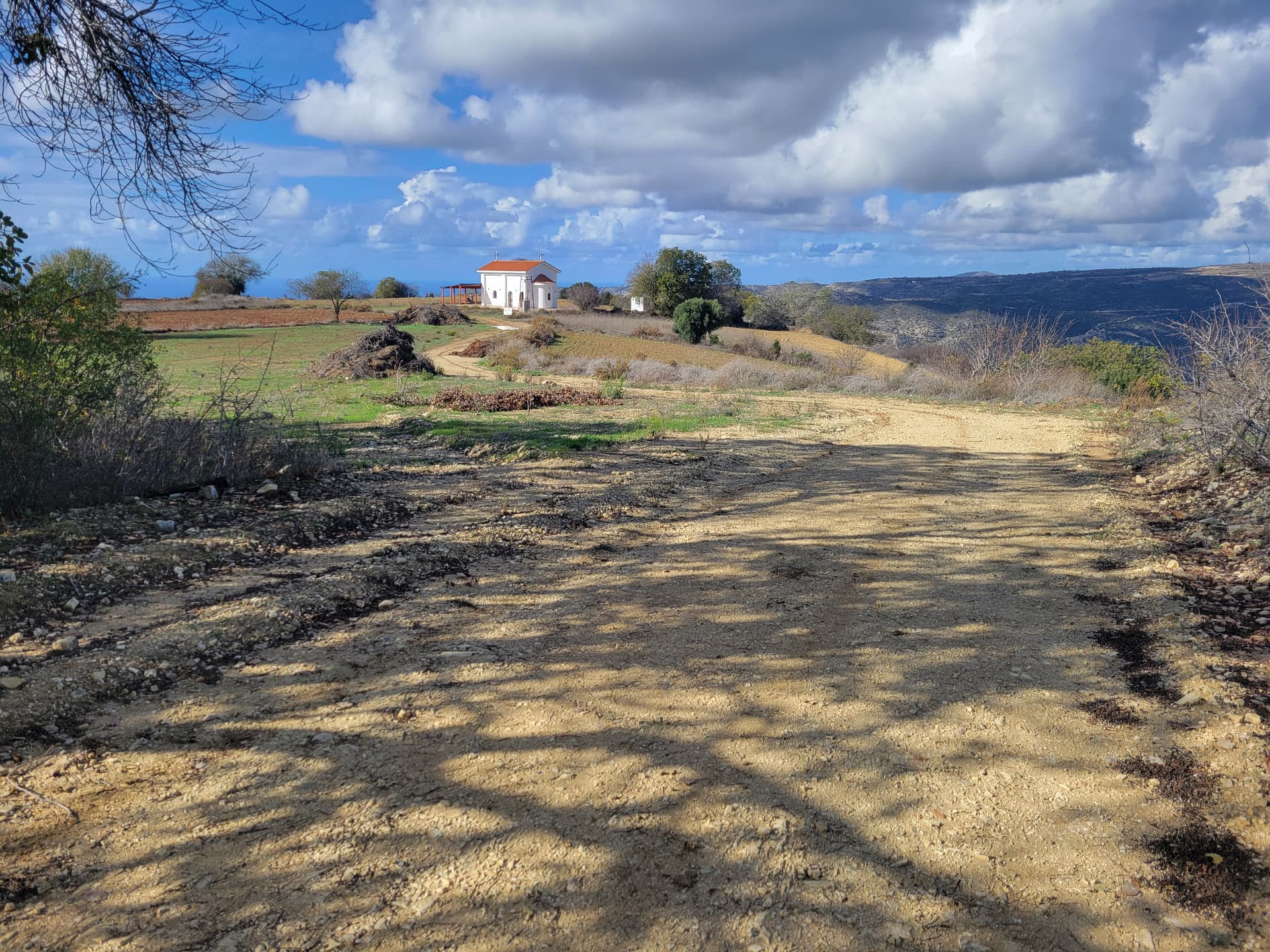
5B/CY-042 (No name).
Parked immediately adjacent to the summit water tower, 34.85812 32.45414.
I decided not to operate there. Instead I walked a couple of minutes away to operate at the church 34.85886 32.45247.
One vehicle drove up and the sole occupant gave me an interested stare… but didn’t get out and drove away a few seconds after arriving.
33 QSO all SSB. 20m 14 (inc 1 S2S). 15m 5. 10m 14.


5B/CY-035 (Μαζί (Mazi))
Followed Google Maps to a point adjacent to the marked summit. This includes a final gravel section. Generally good quality gravel. Parked 34.89608 32.43827.
I noted visually that the marked SOTA summit location looked clearly (to my eye) to be lower than a nearby top that is going to be in the same AZ at approx. 34.90202 32.44184
I walked a short way up a side track to the most obvious local high point on the edge of a field, this matched the marked summit location.
22 QSO all SSB. 20m 4 (inc 1 S2S), 15m 13, 10m 5.
Day 3 Tue 02DEC25
Visit to Nicosia, including foot crossing of the “Green Line” border into Northern Cyprus. Fascinating Day.
When we left Nicosia to return to Paphos we had time to visit a near drive on SOTA summit.
5B/CY-046 (Πίπης (Pipis))
Followed Google Maps route, which took me up some odd little tracks. I suggest it would be better to leave the main road at 34.92987 33.42646. Track was paved to approx 34.93365 33.43322. After this it was reasonable quality gravel. Parked 34.93541 33.42977. Walked a short distance up hill to flat topped summit. NOTE: the obvious “summit” with the cross on top is not the true high point. In fact I doubt that is in the AZ of the true summit as the col where the car is parked is about 30m below.
The activation was quick as sunset was upon me.
I spotted for a nearby summit 5B/CY-047 in the rush to beat the looming darkness, sorry to those who had to amend their logs.
18 QSO all SSB. 15m 18.
Day 4 Wed 03DEC25
5B/CY-012 (Μούττη του Αφάμη (Moutti tou Afami))
Followed recommended driving route near to the summit from AI4SV. The track was rough in places, but passable. Parked 34.84933 32.84119 as the final part of the track looked too rough.
Walked 200m to the summit.
Activated at the edge of a rough area as far away from the summit radio compound as I could manage. No noticeable QRM.
14 QSO all SSB. 15m 14.

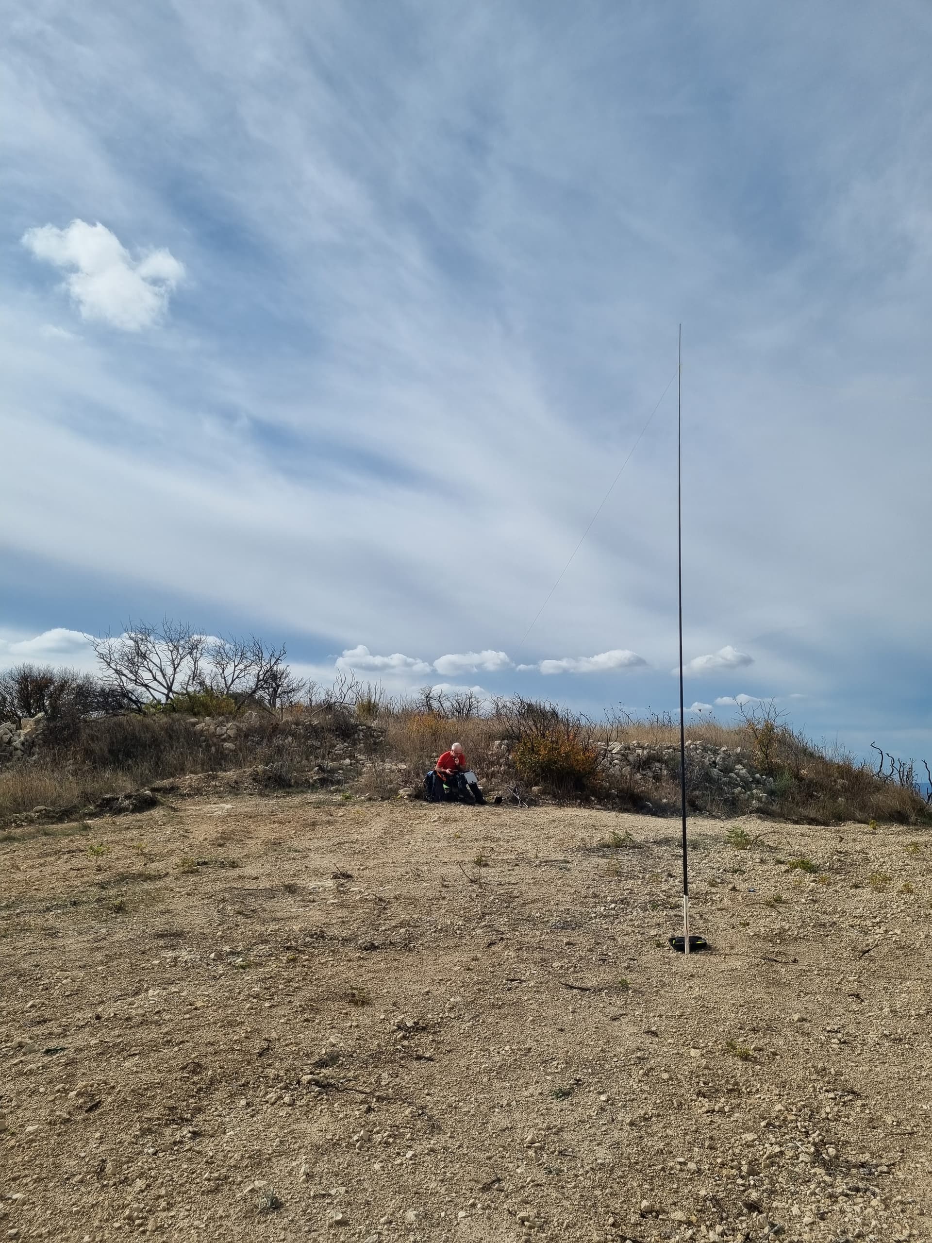
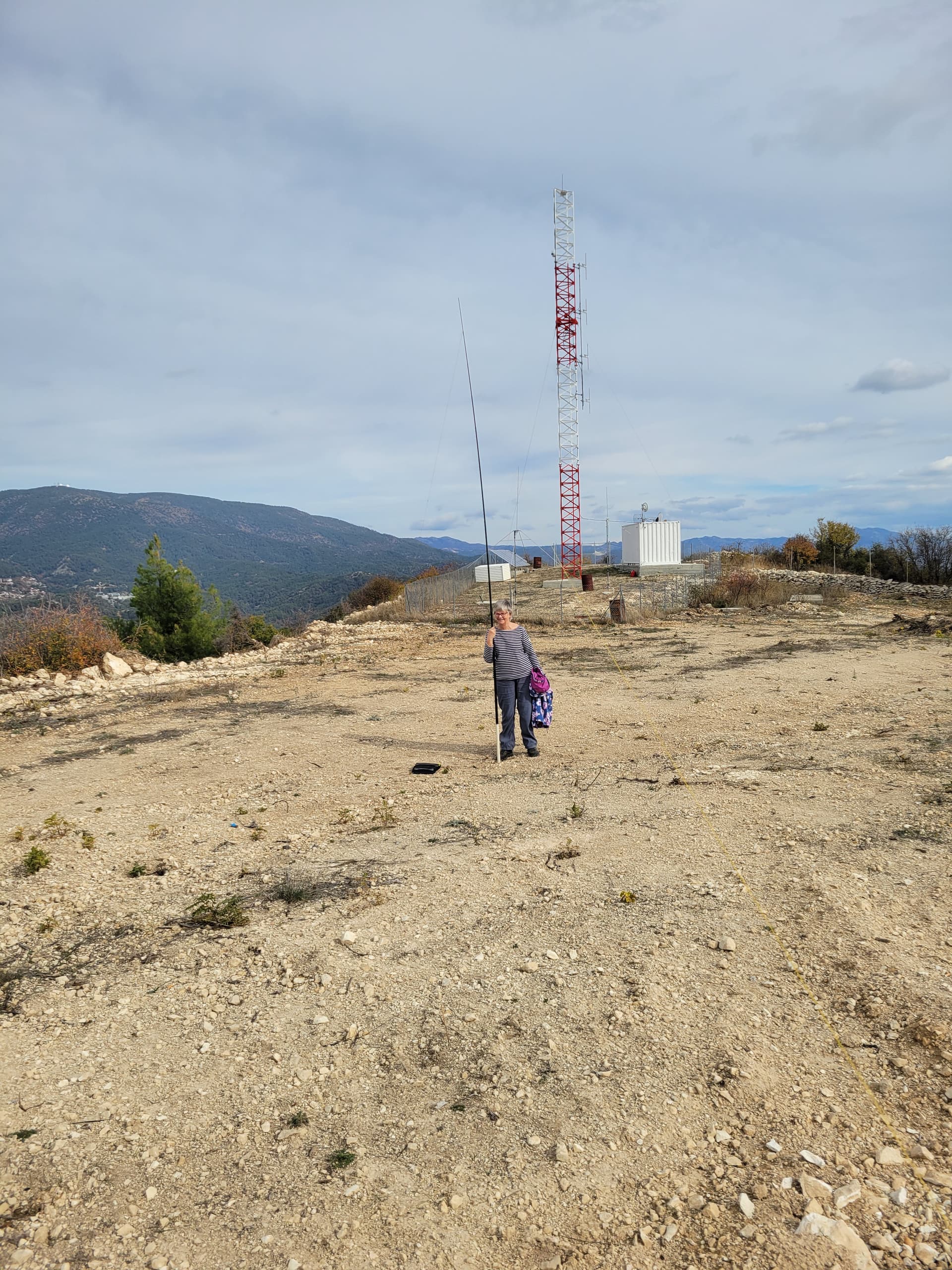
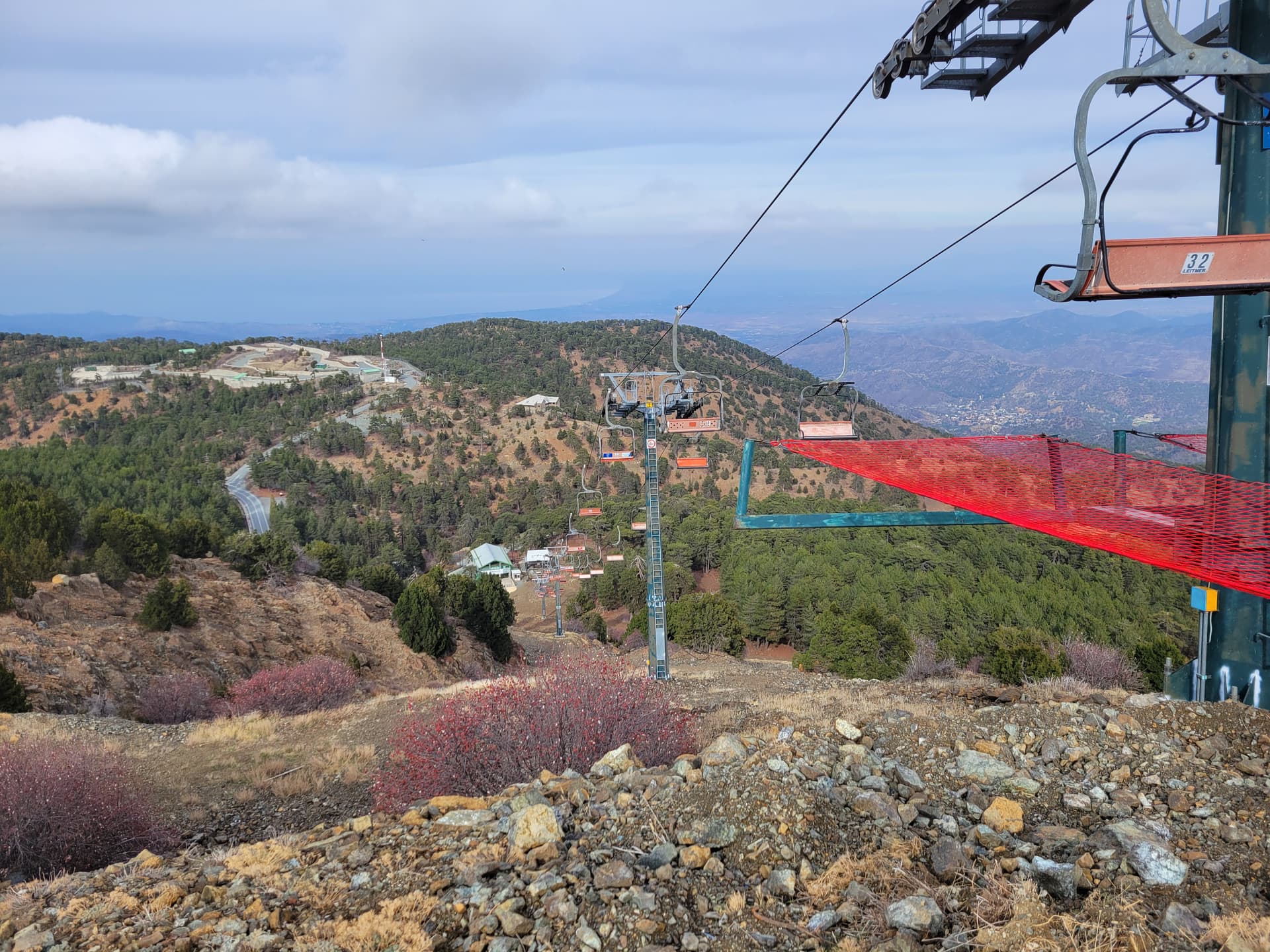
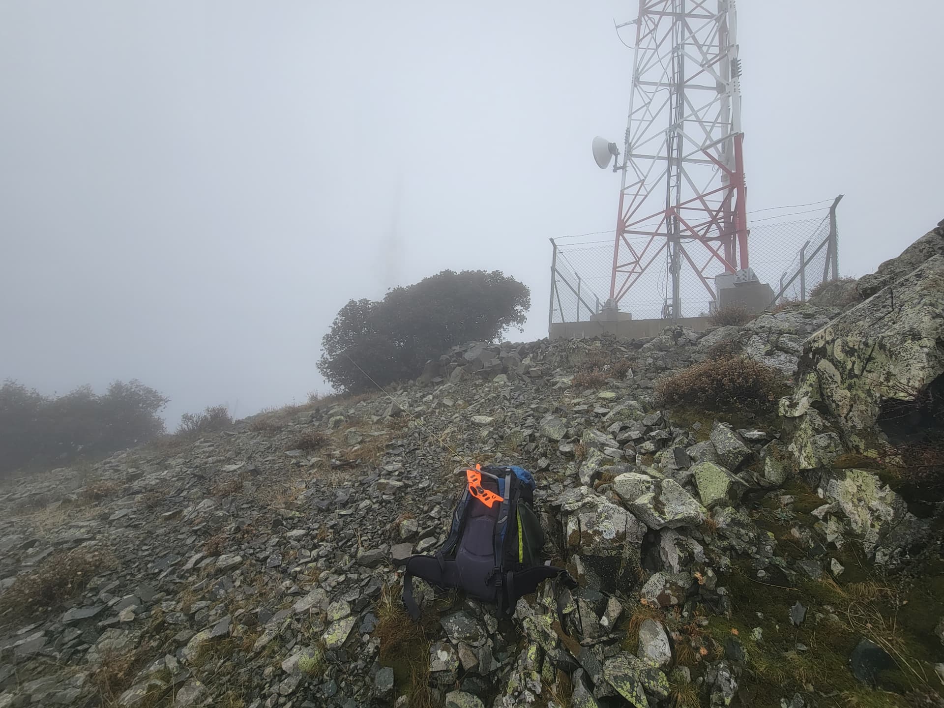
5B/CY-001 (Χιονίστρα (Chionistra))
Parked on gravel area just below the gates for the summit military compound 34.93565 32.86224.
Walked the short distance east along the gravel track running parallel to the fence to just above the ski lift at approx 34.93613 32.86552, which mapping and GPS confirmed was in the AZ. It was possible to sit out of sight of the cameras in the compound by use of some low bushes as a screen.(well…. I think it was!). I took a few photos… avoiding including the military compound on the true summit.
No one else visited during activation. Phew!
This was the only time I really got cold on any summit. When I got back to the car it said the temp was 5C and it was windy.
32 QSO all SSB. 20m 11, 15m 21.
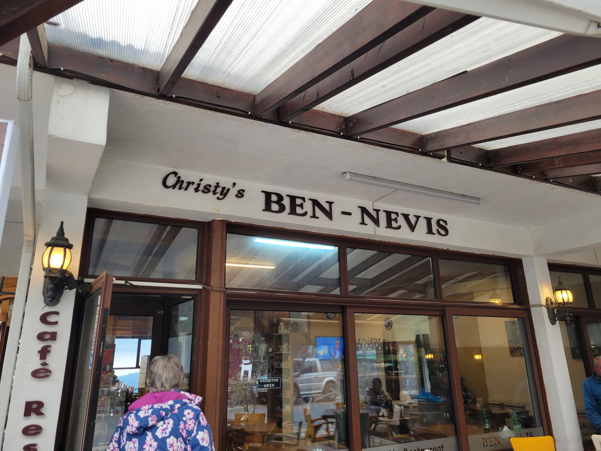
Visited the Ben Nevis cafe in Troodos on the way down!
Day 5 Thu 04DEC25
Sightseeing around Paphos.
Day 6 Fri 05DEC25
5B/CY-007 (Θρονί (Throni))
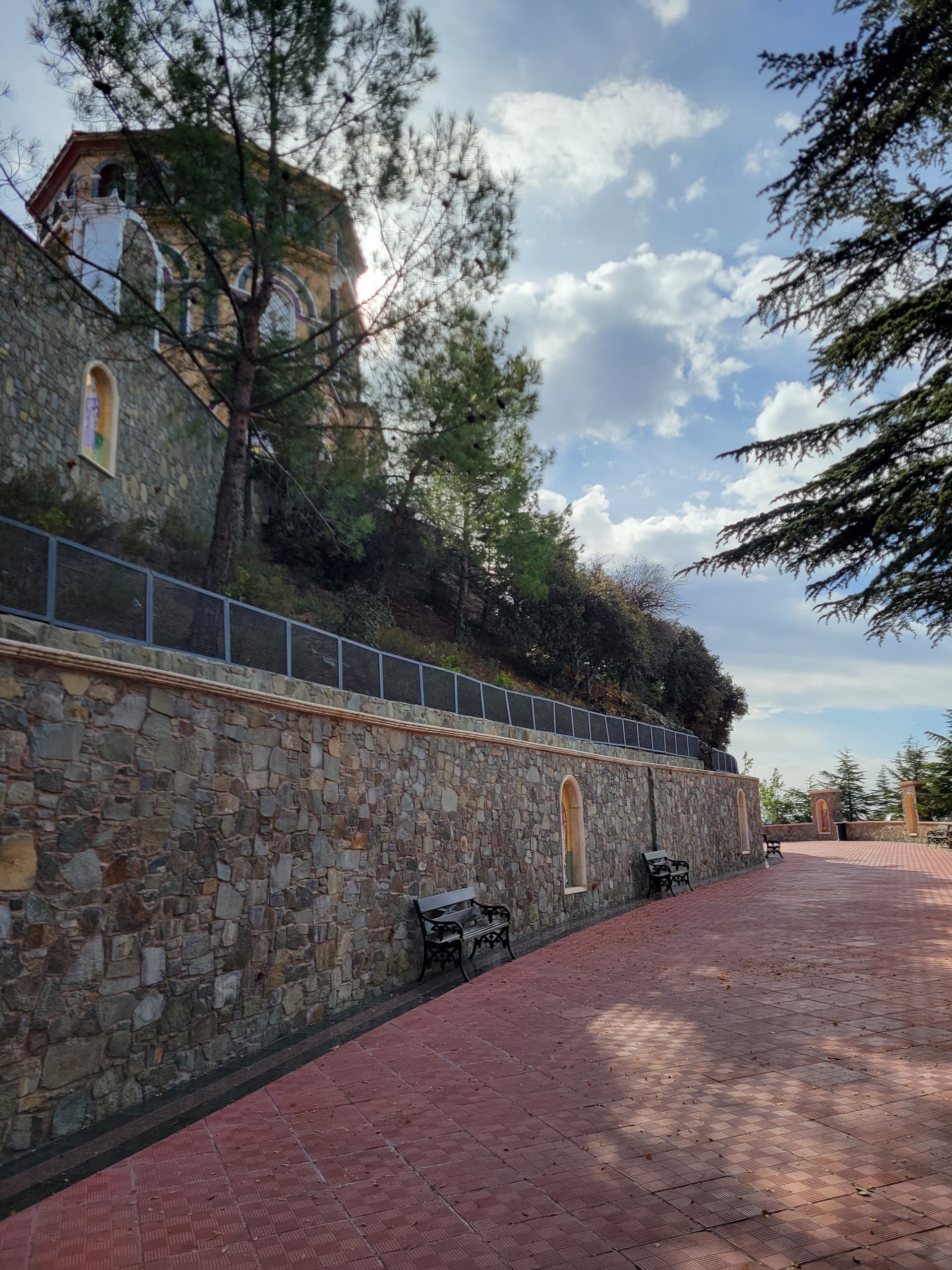
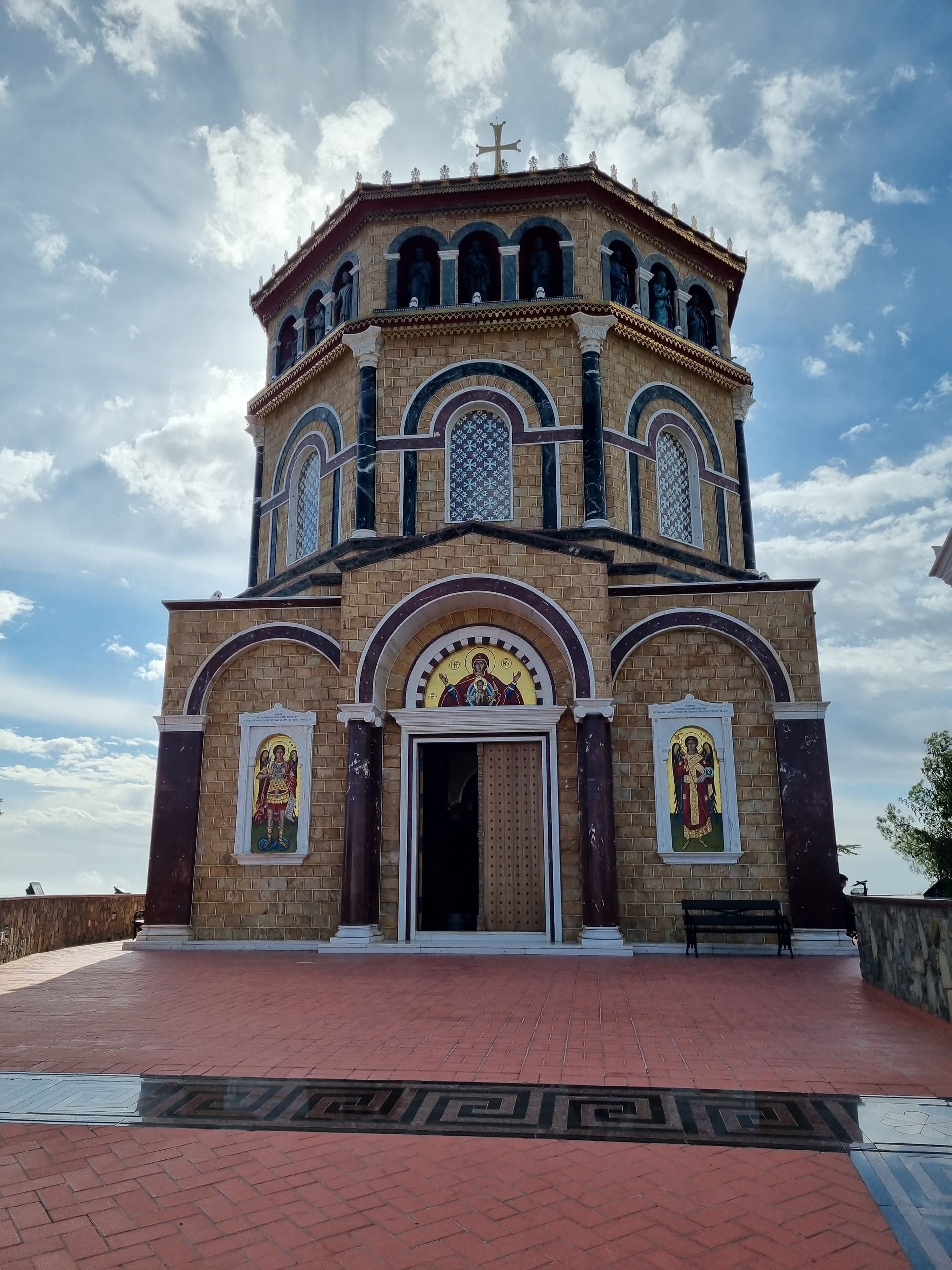
Parked 34.98395 32.73325 at the car park for the memorial and tomb for Archbishop Makarios III. We were the only car there!
We walked up to the summit monument but didn’t feel comfortable activating next to the obvious religious building. It was also tricky to figure out how I’d rig my EFHW. We went to the other end of the summit ridge and found two soldiers in a booth guarding the Archbishop’s tomb. Definitely not the spot to activate!
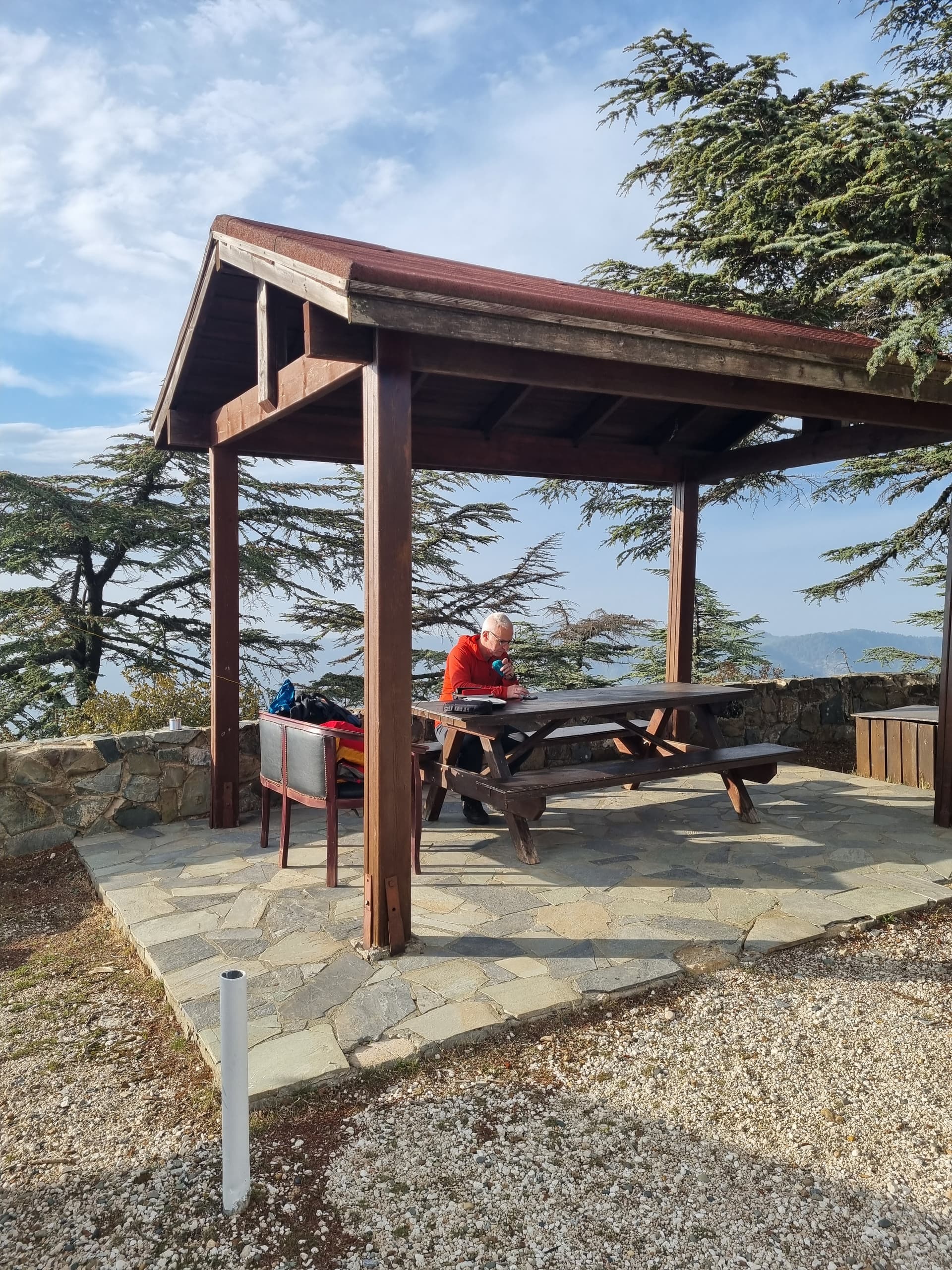
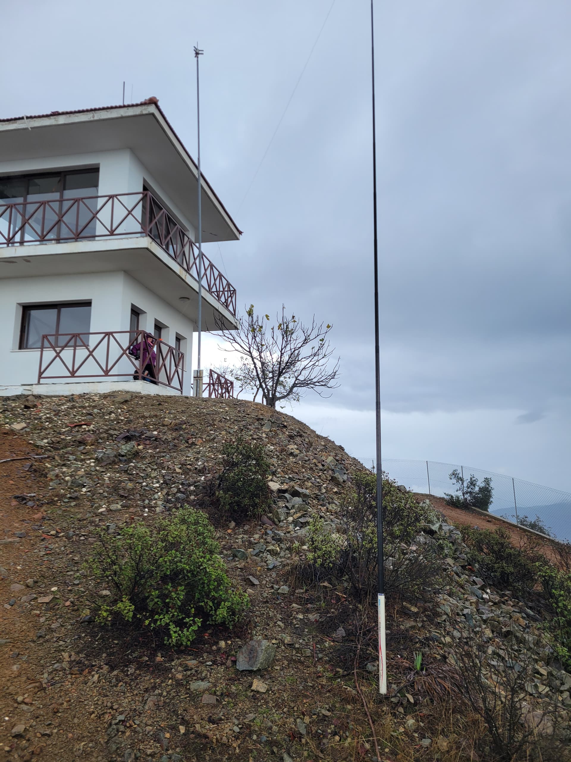
We returned to the lower wide path that goes around the summit, still well inside the AZ. I noticed there were some benches. One provided the support I needed and Sue held onto the mast for a quick activation.
While I was in mid-flow a worker drove up in a pick up truck and got out… uh oh…… then he looked over the wall, turned to me and waved, smiled and got back in and drove off. Phew. Decided not to push my luck though and just operated on 15m before a quick pack up. Done in 13 minutes.
I suspect at other times of year this could be a VERY busy location. I can’t see how you could find a spot inside the AZ and keep out of the way of other visitors if you use a long wire antenna. I noted others have used loaded verticals to keep things compact.
21 QSO all SSB. 15m 21.

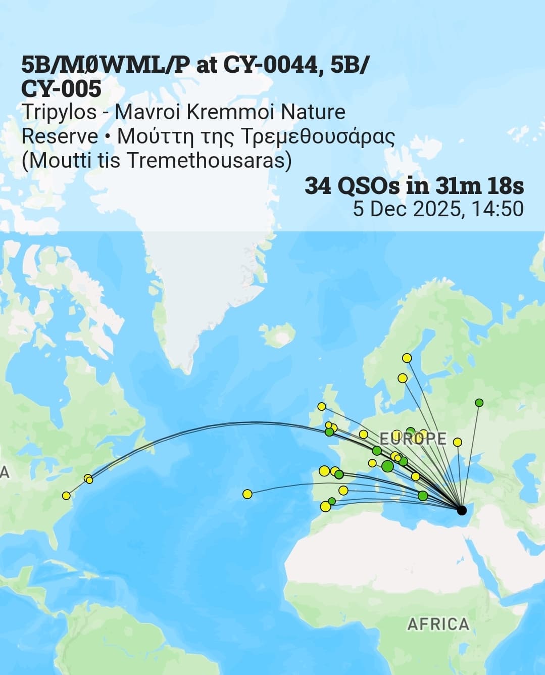
5B/CY-005 (Μούττη της Τρεμεθουσάρας (Moutti tis Tremethousaras))
Parked at the small Cedar Valley car park 34.99102 32.68846.
Followed the obvious forest track to the summit in about 3km and a nice steady 50 minutes. I chose to operate from the fire tower rather than the true summit. This is comfortably in the AZ.
The fire tower was occupied. The forester popped out to see what I was doing. No words were exchanged. I smiled, he smiled back.
34 QSO all SSB. 20m 10, 15m 24 (including 3 into the USA).
Day 7 Sat 06DEC25
5B/CY-003 Παπούτσα (Papoutsa)
Parked 34.90608 33.05370 in a gravel parking area.
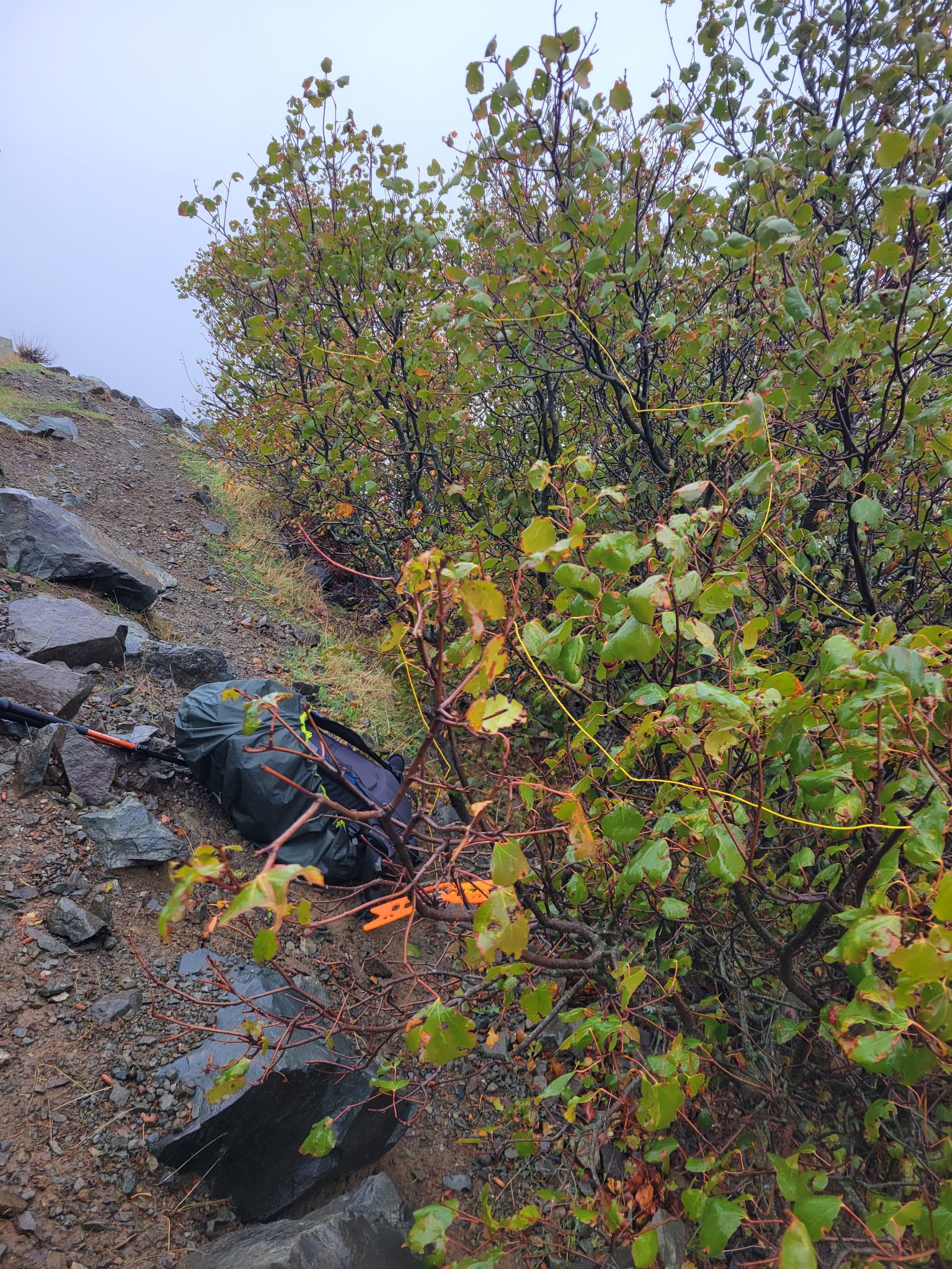
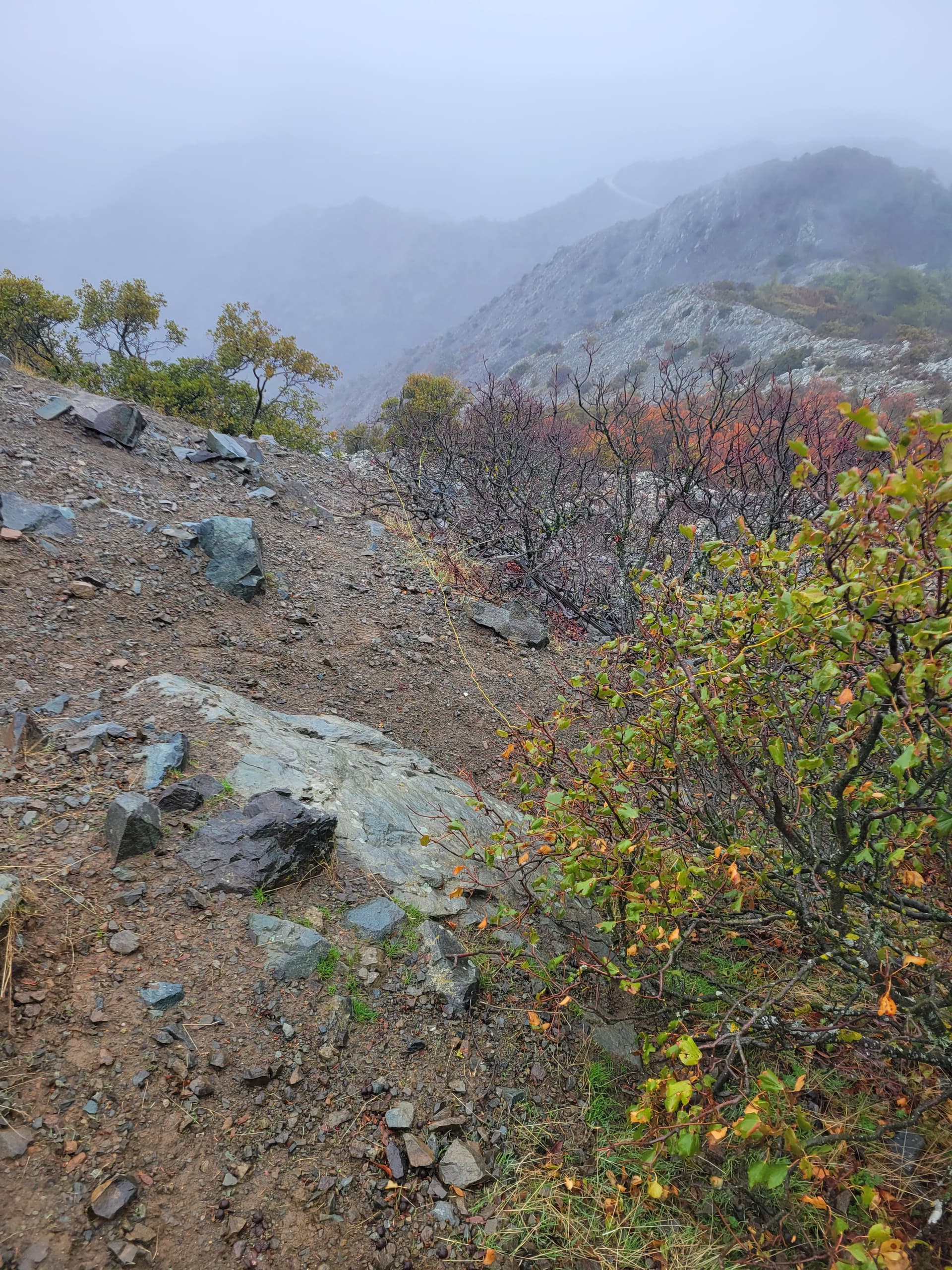
I started up the way marked track to the summit. It’s relatively steep, gravelly and with some easy rock steps. Unfortunately the cloudy weather suddenly turned into a downpour. The rock was very slippery and the sudden extreme darkness and heavy rain led me to think it might be a thunderstorm, which was a possibility in the forecast for the day. I decided to abandon around 34.90174 33.05452. It was then a tricky descent back to the car.
5B/CY-002 (Μαδαρή (Madari))
Despite the horrendous wind and rain I decided to drive around to this summit as it was close by and I knew I could park very close to the top.
Used a small parking area at 34.95616 32.99525. All surfaced track to this spot. Steep and narrow at the top.
We ate our lunch as the rain belted down, but there had been no lightning or sound of thunder. I was about to give up… when it eased off a bit. I jumped out of the car and legged it to the summit radio compound just 100m away, going around the outside of the compound to the true summit. It was still pretty horrible, with strong winds and light rain, so a quick activation ensued, with the antenna draped over some bushes. Despite this suboptimal set up I managed a decent haul of contacts before I had to pull the plug when the torrential rain returned. Sorry for anyone I abandoned.
No noticeable QRM.
23 QSO all SSB. 20m 16, 15m 7.
Day 8 Sun 07DEC25
Another wet and windy day.
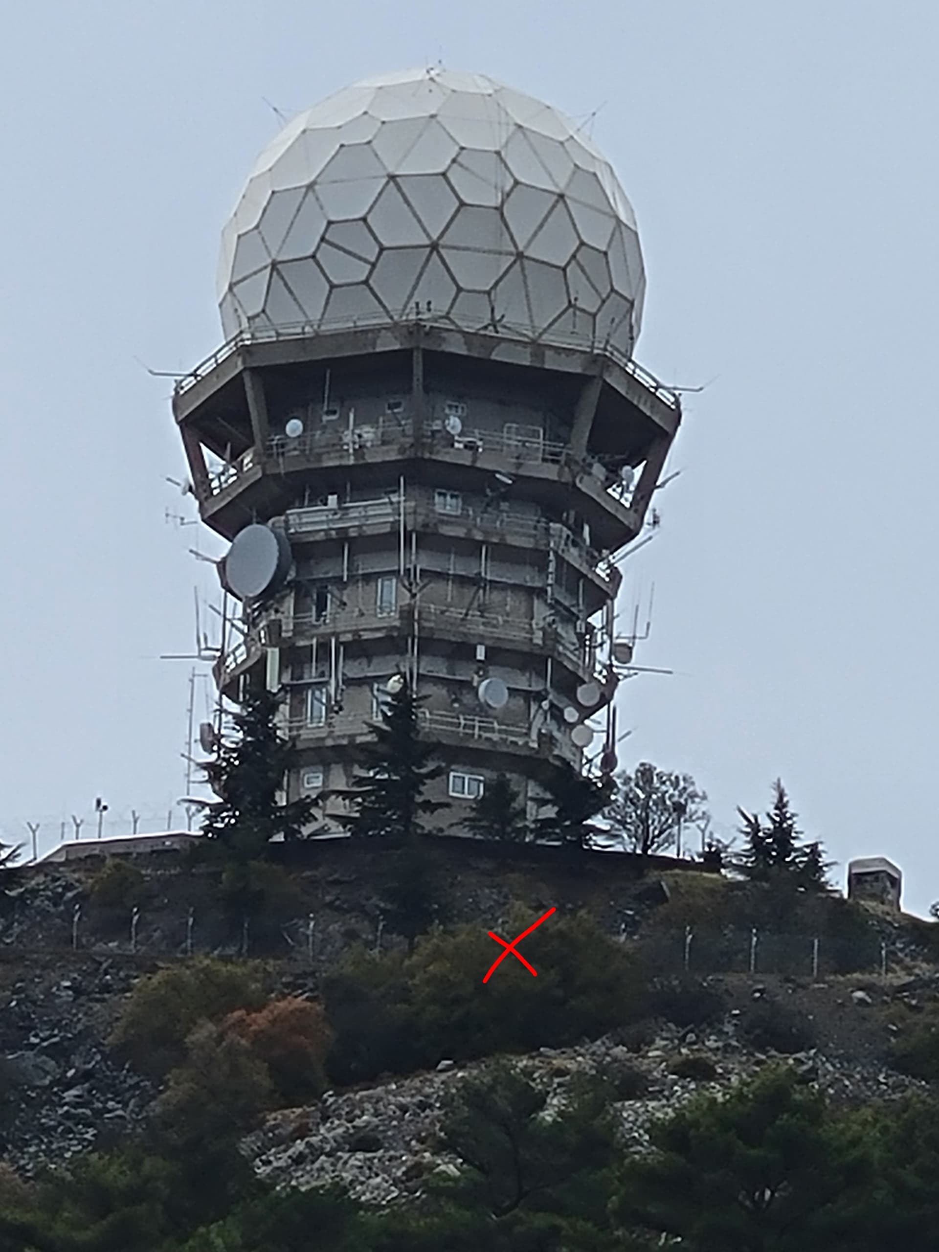
5B/CY-004 (Κιόνια (Kionia))
We set off to drive more in hope than expectation. It hammered it down as we drove along the motorway to Limassol. Amazingly it almost stopped when I parked at the picnic area at the end of the private road that leads to the summit radar station 34.92071 33.19769.
I set off up the tarmac road on foot, passing by a vehicle barrier about a ⅓ of the way up. The torrential rain suddenly returned… joy!
I reached the gate at the summit radar compound. I decided the easiest thing was to walk along the fence line on the left until I felt I’d reached the AZ by looking at my map and use of GPS altitude. I found myself carefully picking my way above a steep scree slope, constrained by the radar station fence. Eventually I crouched behind a bush above the steep slope, with my back to the fence. I didn’t want to go any further due to being slightly sheltered from the wind at this spot. On a nicer day it would have been possible to pick your way around to flatter ground on the South side but you may end up more noticeable from the radar station. The antenna ended up in bushes again, barely off the ground and partly bent back on itself. Amazingly I managed to qualify the summit during a brief easing of the rain. It returned again and I pulled the plug. Again, sorry to those I abandoned in the pile-up.
When I was a short way down the rain stopped and the sun came out for 30 mins. It wasn’t to last.
No noticeable QRM.
10 QSO all SSB. 15m 10.
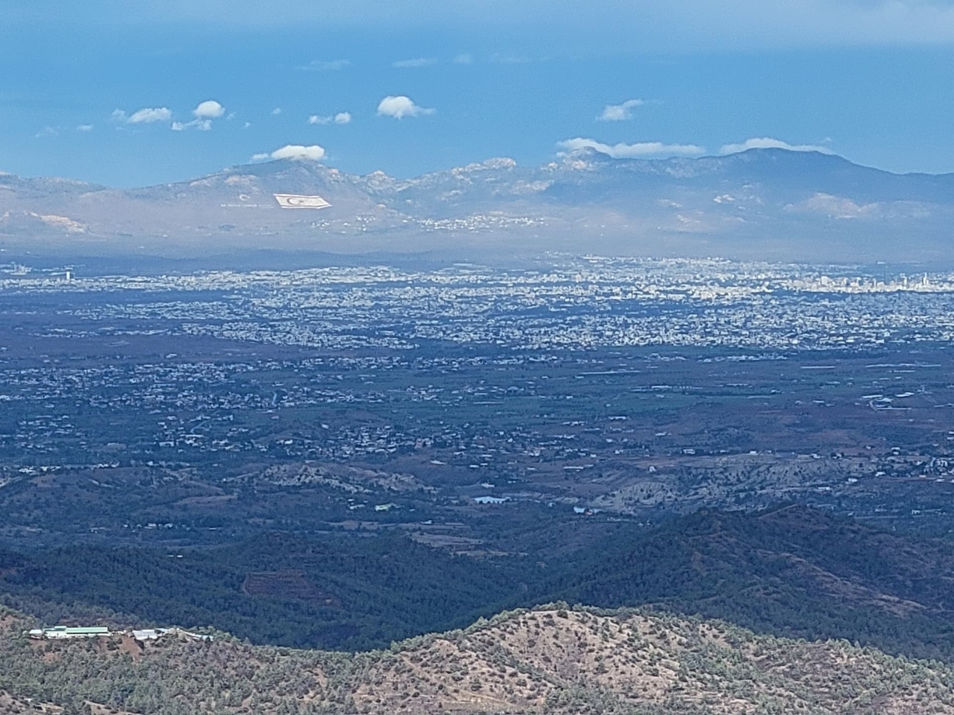
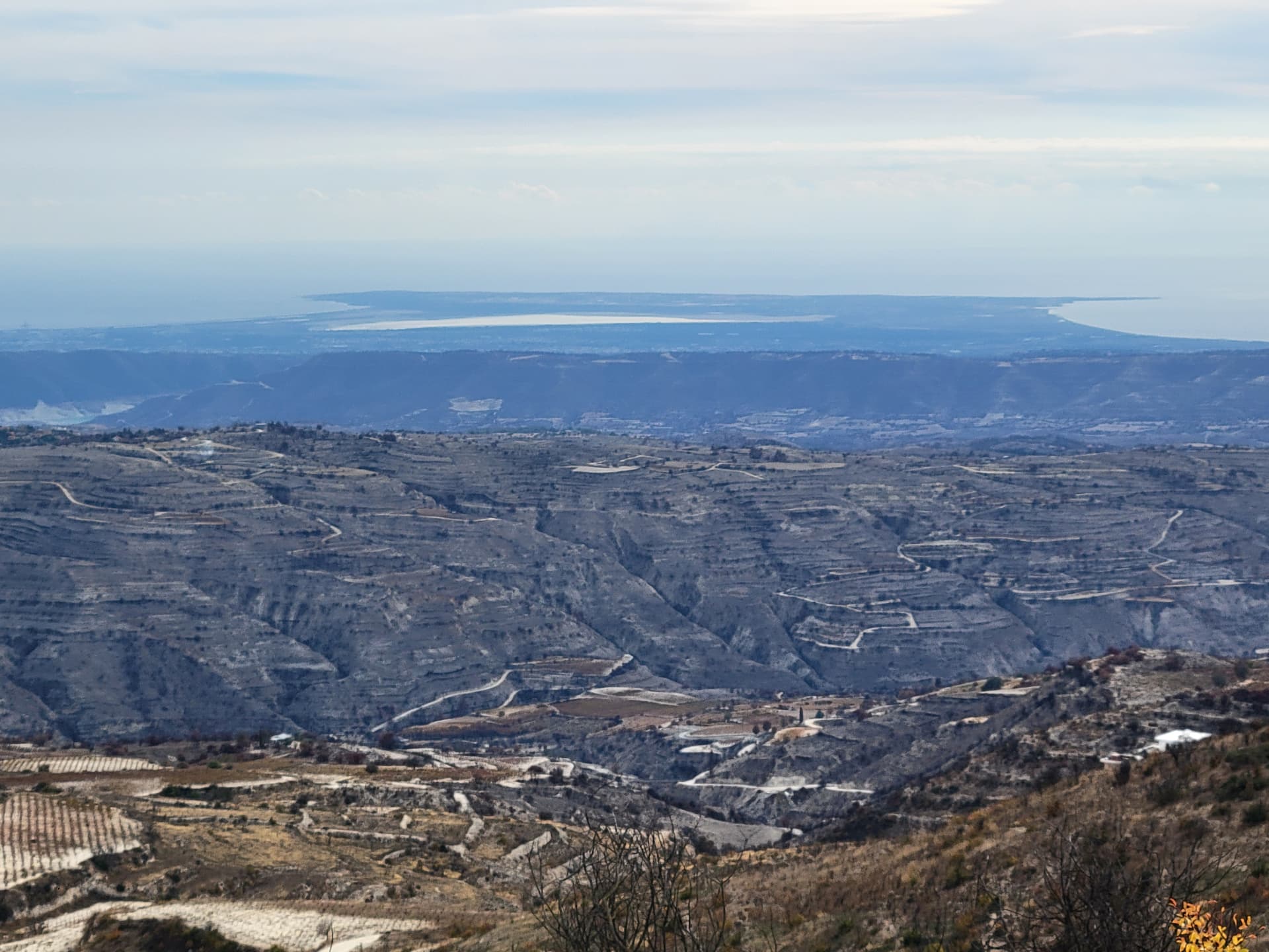
View across Nicosia into Northern Cyprus - an enormous “flag” on the ground is a bit of a statement!
5B/CY-006 Μούττη τους Σιλλλινιδες (Moutti tous Chillinides)
The rain returned as I got back to the car, so I set off to drive to this second summit more in hope than in expectation.
Parked just beyond the end of the concrete road at 34.90923 33.14234.
The rain was horrible and with a proper walk involved to get to the top and the likelihood I would end up in the dark as well I decided to leave it.
Day 9 Mon 08DEC25
5B/CY-009 (Μούττη της Ζαχαρούς (Moutti tis Zacharous))
Parked roadside, just room for 1 car 35.03897 32.63062. There is another larger parking spot a little further south of the track.
The track starts 50m south of the parking location. It has been suggested that it is drivable to the summit. Whilst it seems it is open to traffic, the lower section is eroded by rainfall and shows signs of recent rockfall, meaning a true 4x4 would be needed.
So we walked up, just over 2km and a little over 150m of ascent.
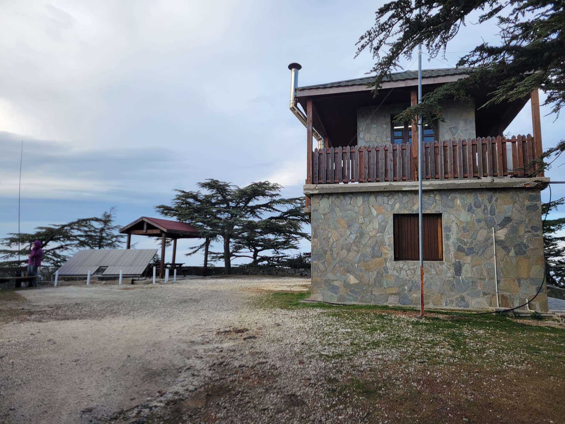
On the summit there is a new Fire Tower and cell site. The compound gate was open, but the building was unoccupied.
I set up on the verandah to keep out of the light rain that was falling when we arrived. This fortunately dried up soon afterwards.
As this was to be the last activation of the trip I spent over 40 minutes trying to get contacts. I was very happy to get 41, including one S2S.
There is also a Cell Site on the summit with a large solar array, but no QRM was noticed.
41 QSO all SSB. 20m 8, 15m 15, 10m 18 (including 1 S2S)

Car parked on the right, start of access track showing rockfall.
Summit fire tower, I was lucky the gate was open.
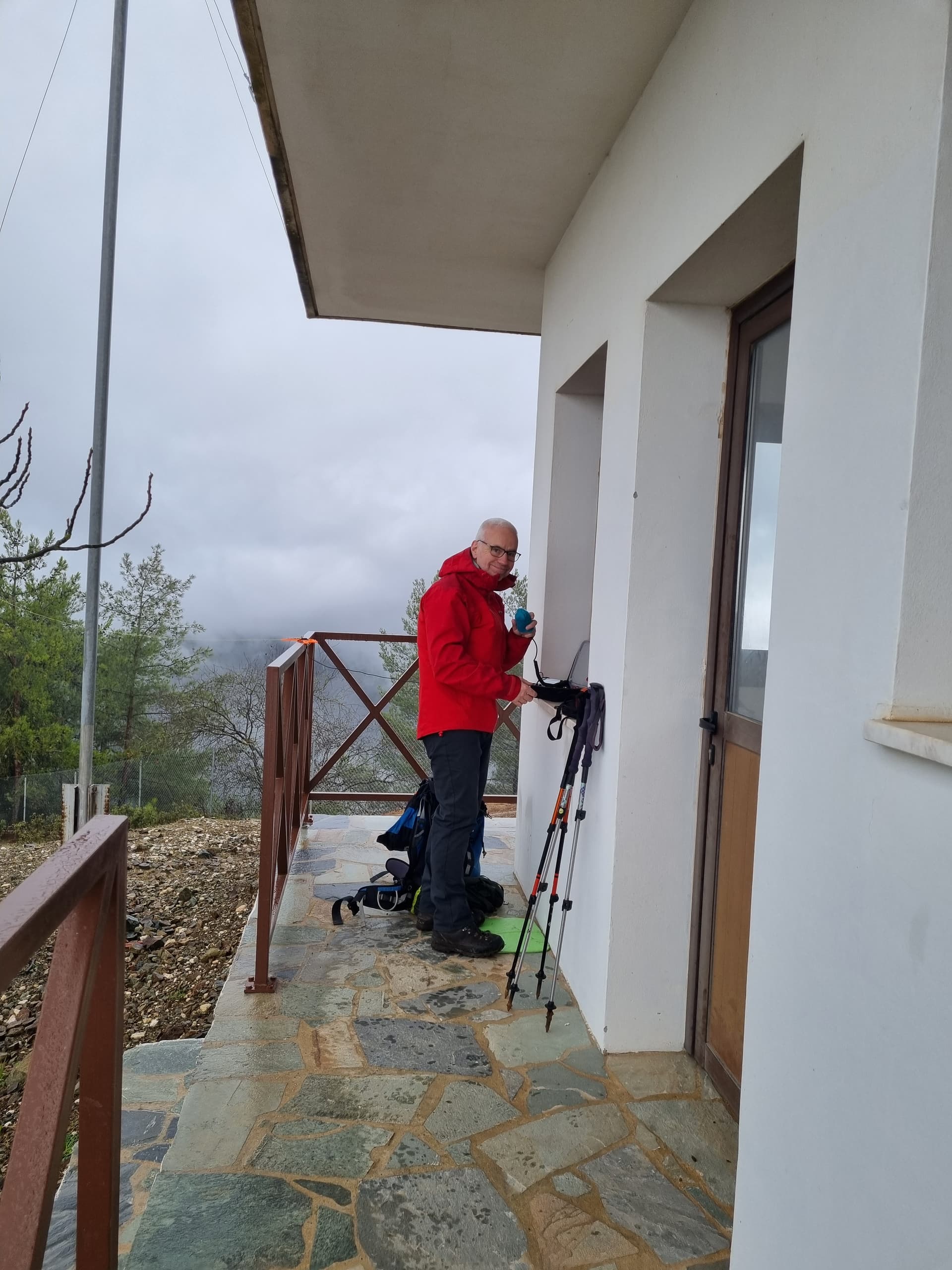
Standup operation.

After we returned from the summit we went to a nearby wildlife enclosure to see these Cypriot Mouflon…. They are out in the wild as well and apparently will tackle walkers!
Day 10 09DEC25
Drop off hire car early and more history sightseeing.
Day 11 10DEC25
Return to UK.
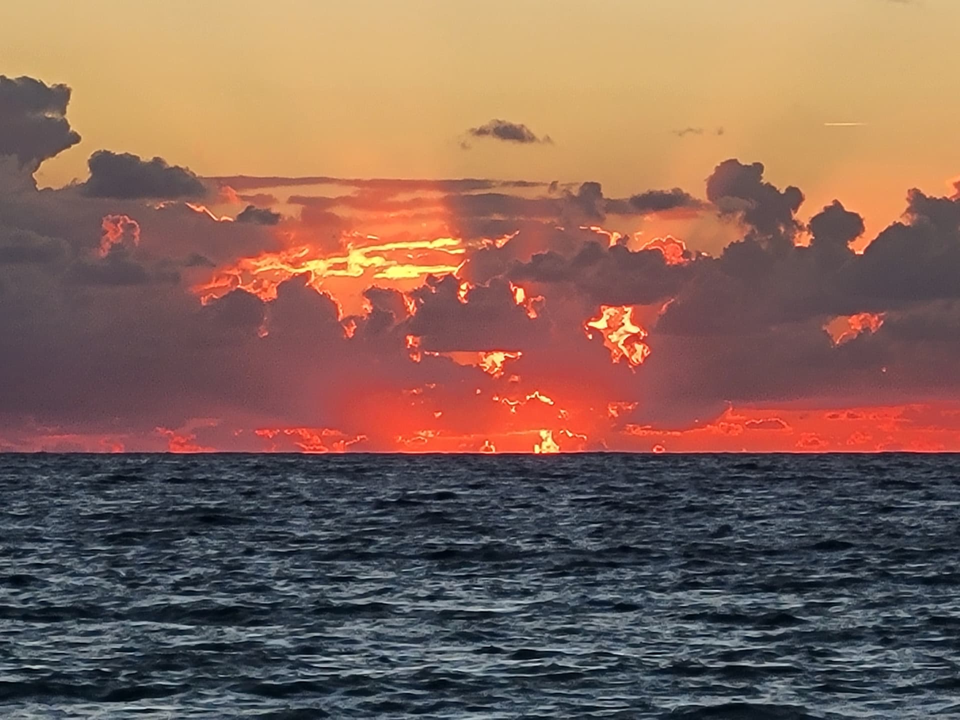
We had several excellent sunsets
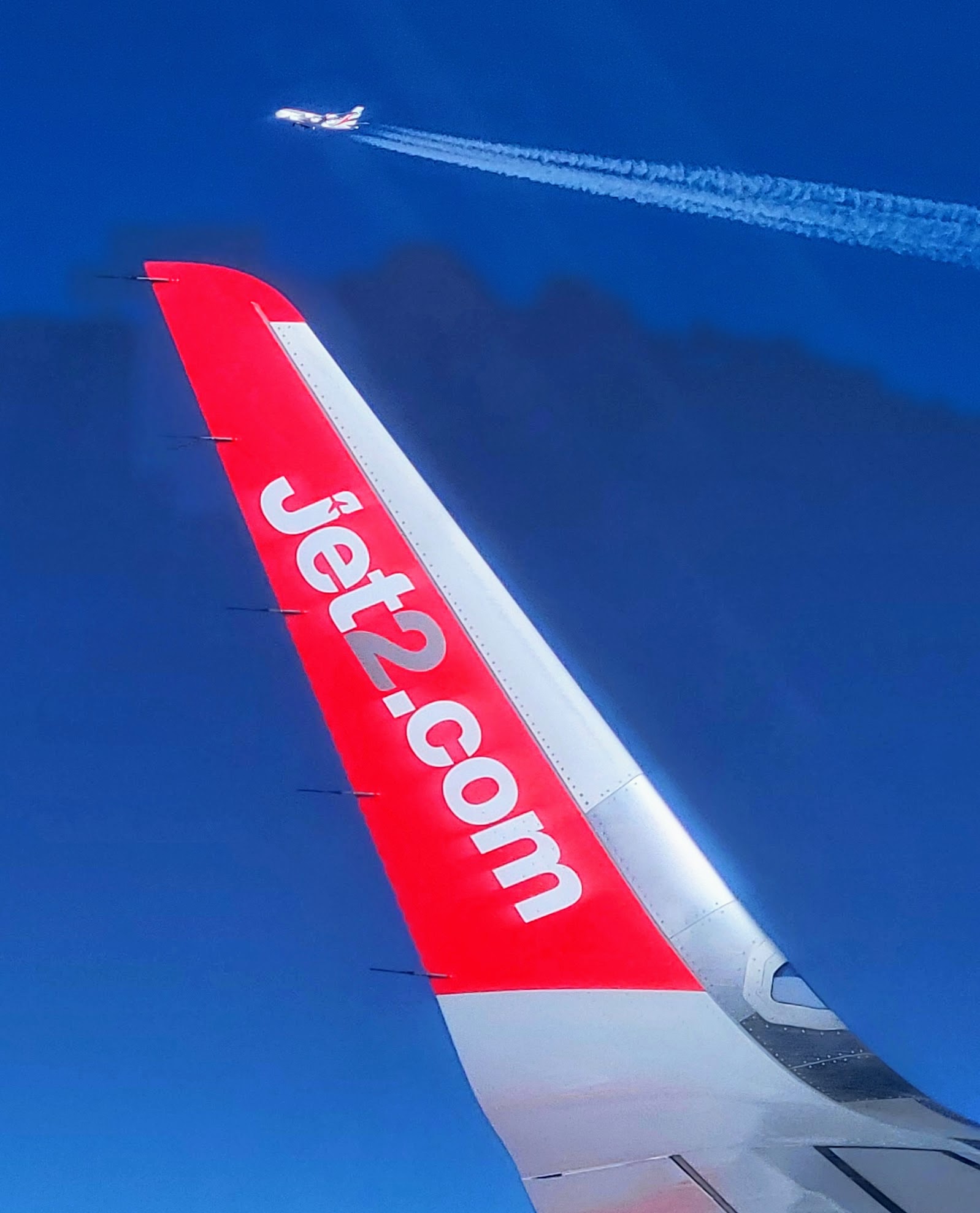
On the flight out I had a lucky catch of an Emirates Airbus A380 coming the other way!