The WX forecast was for a very sunny Sunday so it was worth driving a bit for another unique. It had been raining a bit so I thought the Luss hills would be uber-boggy and Meal Odhar GM/SS-091 picked itself. I’ve had my eye on this one and its neighbourgh Beinn Chuirn GM/SS-021 for a long time, since I climbed Beinn Odhar GM/CS-050 in 2011 and saw the amazing mine spoil heap and path from across the glen.
The summit can approached from the Beinn Chuirn path or from mine workings but either way you need to get up to Tyndrum. Tyndrum has a dearth of parking places that don’t involve parking in the cafes/restaurants car parks and they want your custom and or money. It was going to be a good day so Tyndrum would be heaving with visitors. No alternative but to park at Dalrigh free car park and walk in the 2 or so km. There’s a fabulous path that links the car park to the West Highland Way as it enters Tyndrum. Easy walking for about 25mins and it was a sheer delight.
Now the WX was proper mist and fog. It was patchy for the 80miles from home to Dalrigh sometimes very limited visibility then just a bit hazy and it was meant to be very light wind and unusually warm for early march. In the end it was probably 8C warmer than normal.
Parked, boots, bag, walk. I had the 705 in the bag from last weeks fun and games on 13 cm but no transverter. I have this 705 essentially for transverter driving but I don’t use it much, so it’s having a few HF outings so it doesn’t get lonely waiting for uWave days. Along the good path and in no time I was at Tyndrum Lower Railway Station where the path to Meall Odhar starts.
So here’s a view of the initial ascent from Google Maps.
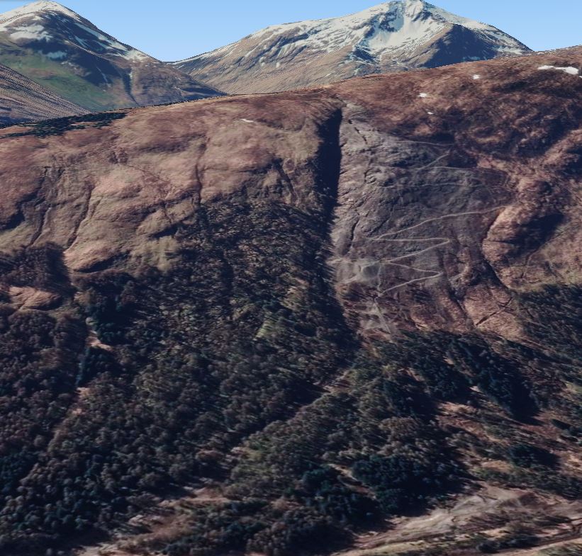
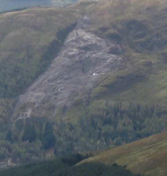
The fabulous mountain at the left is Beinn Oss GM/SS-005 and the even better mountain is Ben Lui GM/SS-003. You can see the huge vertical gully the river runs down and about 3/4 down it veers left at 7/8 o’clock. The path from Tyndrum, about 1 km away, runs in from the left. You meet the river bed, it’s huge and full of spoil from the mine. You climb up the bed to the top of the slanted section then you climb the miners path through the mine spoil. It’s a disused Lead mine and I think that there’s lots of Lead bearing spoil dumped that explains why nothing is growing over the spoil after 100 years after the mine closed. ![]()
![]()
![]()
So up the river bed it was and it was quite simple although rocky. The mist was starting to burn off a little and I was climbing up. The view was ever so atmospheric.
Looking up…

and looking down.
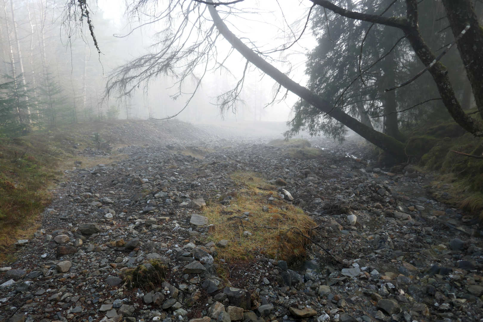
It must be damp a lot in these woods because there is just so much moss and lichens over all the trees, it should be a bucket list item for everyone to walk in amongst the trees. Wonderful.
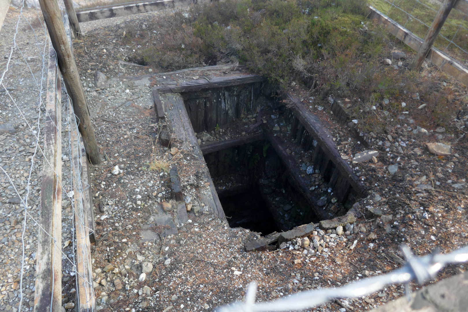
At the top of the river bed I climbed up into the trees and found the first sign of the mine, a fenced off pit. I threw a stone in but didn’t hear it hit the bottom.
From here the path zig zags up through the spoil. It’s trivial following the path down but up it’s easy to loose it. I got to one bit that was a minute to climb up to find myself in a bad place. Checking my OruxMaps view I was about 30m horizontally and 10m vertically off the path. I started to contour round but all the spoil started sliding. I beat a hasty retreat back the way I had come and it was seriously unpleasant as the rocks moved with every step down unlike on the way up. Slowly retreating took about 5mins. Then I followed the arrow on the GPS app and out of nothing a wonderful path appeared. Grr. After that it was simple to follow as it climbed and climbed. It was ever so easy to get from the path out of the station to the top of the real path. A climb of about 260m and I’d not broken into a sweat. There was a slight breeze and it was warm in the sun. Glorious.
The view from the top of the mine workings. Tyndrum in the valley and the double humped mountain is Ben Challum (Malcolm’s Mountain) GM/CS-021
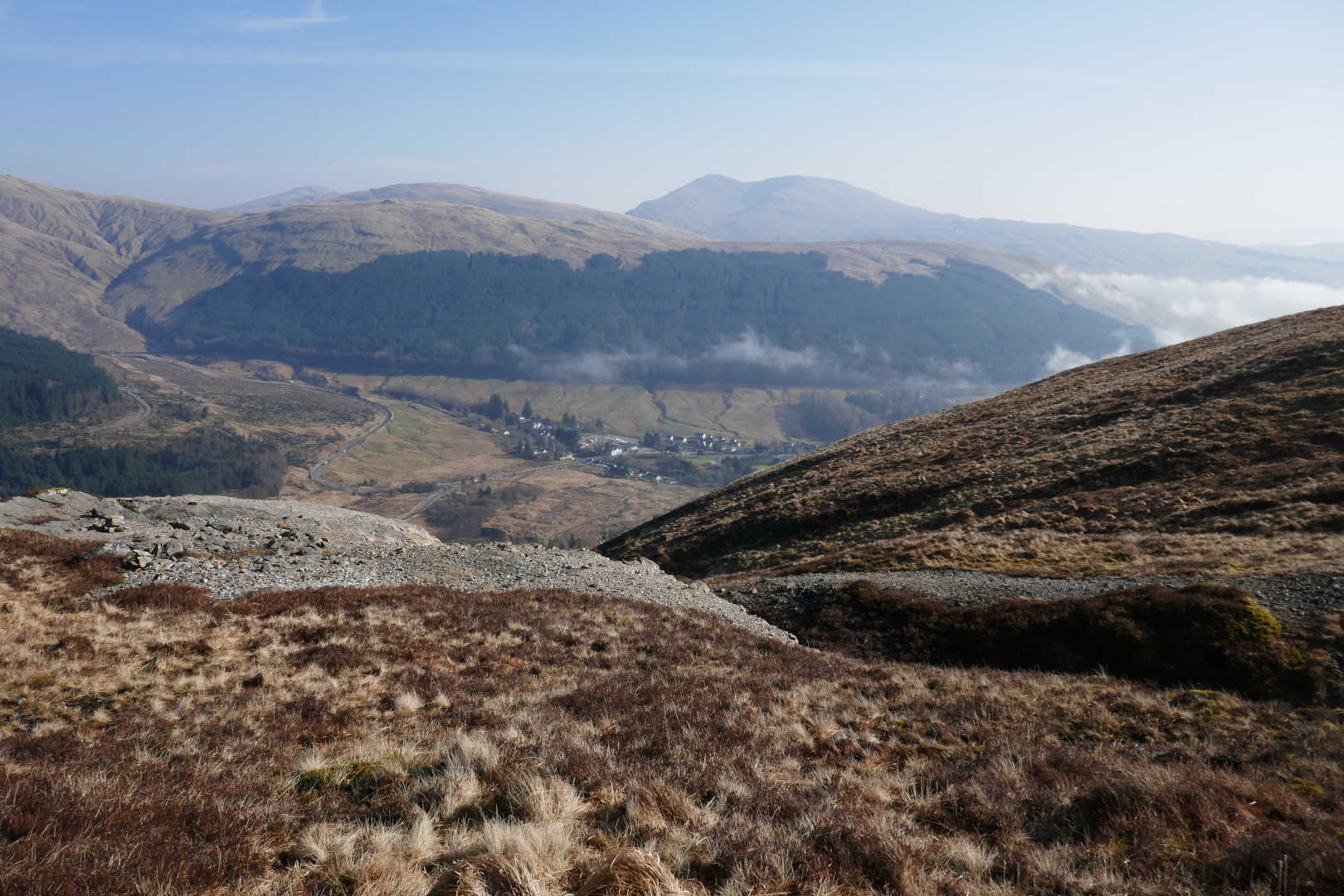
A miniature Ben More, Beinn Odhar GM/CS-050 has the same shape and slope as his bigger cousin just down the road at Crianlarich but is only 901 m so 173m smaller. The curved road centre bottom is the road out to Bridge of Orchy and hence across Rannoch Moor and Glen Coe.
So the path is just made by boots and it was damp in places but there’s essentially a wild walk across the grassy/heathery top of Sron nan Colan. It’s relatively easy going but navigation in mist would be hard without a bit of map/compass skill or your GPS. If you intend to rely on a GPS, can I suggest you take 2, a proper walkers GPS and some descent mapping app on your phone with pre-downloaded maps. Anyway theres a decent of about 80m then you turn left at the edge of the woods and a 110m ascent spread over 2.2km of basically trackless ground. But as the mist had gone although it was hazy, the feeling of remoteness and being immersed in humanless nature was just sublime. I’d helped my son move house the week before, moving house is stressful enough even when it’s someone else but his partner is expecting their first child so there was so much to do and get right on top of moving. The tranquillity here helped de-stress me so much.
It seemed to take forever to get down to the edge of the trees and up the other side. Plod, plod, plod and we’re there!
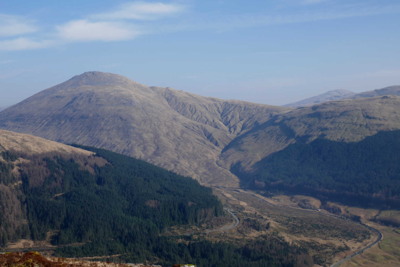
Just for Brian @G8ADD, one of his favourite mountains and boy it’s a stunner. Ben Lui GM/SS-003 I think I need to bag this one this year. Sorry it’s a bit hazy Brian, best I could capture.
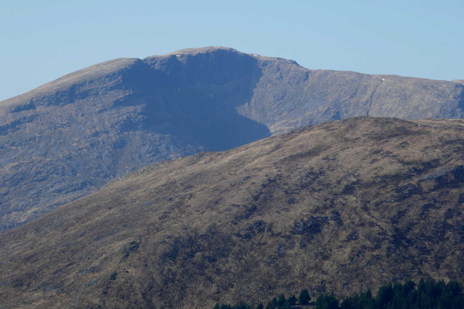
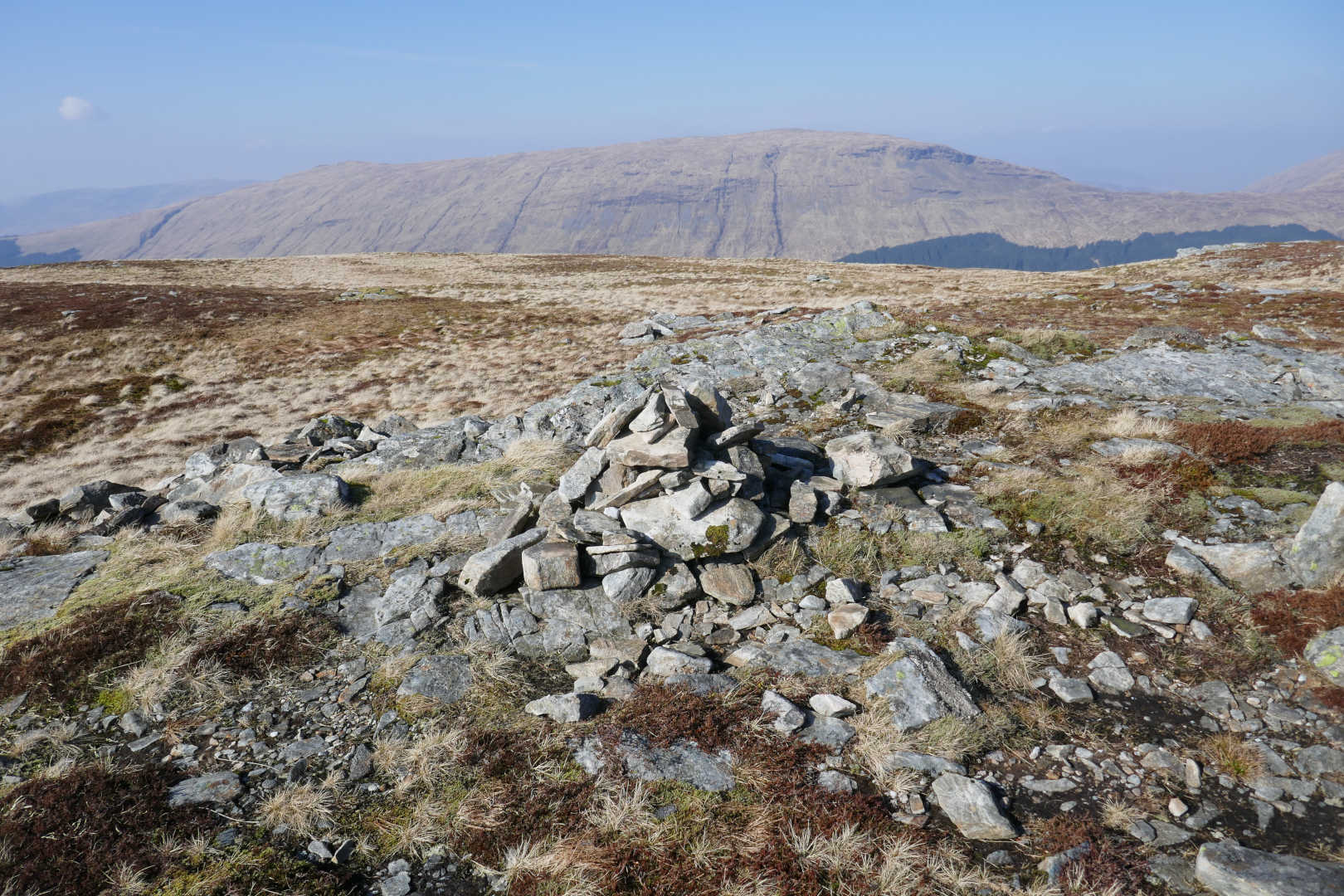
Beinn Chuirn GM/SS-021, there is a HUGE amount of Gold and Silver in this mountain. Tonnes and tonnes of both. But the cost of extraction is huge and so the mine opens and closes as the price of Gold changes making it viable or not to extract the metals. Also you can see this is an absolutely stunning palce of natural beauty so there is a massive set of remediation rules in place of mine spoil and toxic waste which adds to the extraction costs.
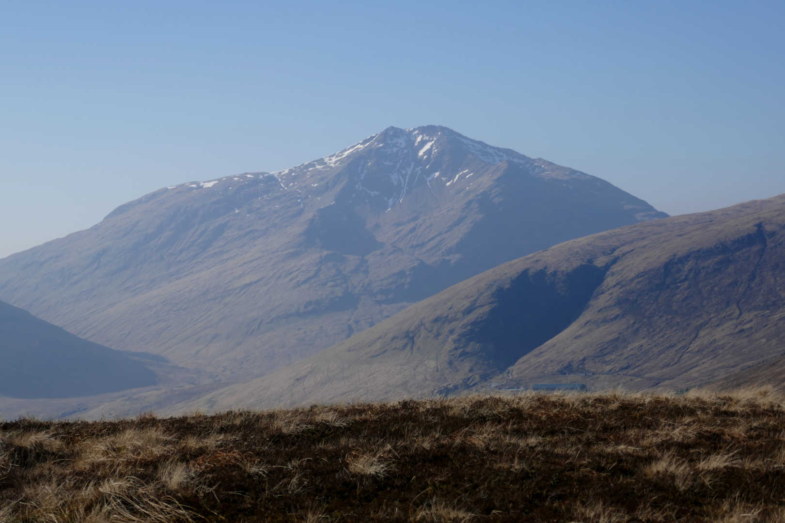
In the far distance is the rarely photographed Stob a’ Choire Odhair GM/WS-083 a fabulous wee Munro to climb. It’s hard to explain why but it’s so worth doing. The nearby mountain is the Corbett, Beinn Udlaidh GM/WS-156.

Summit Cairn, Beinn Udlaidh behind.
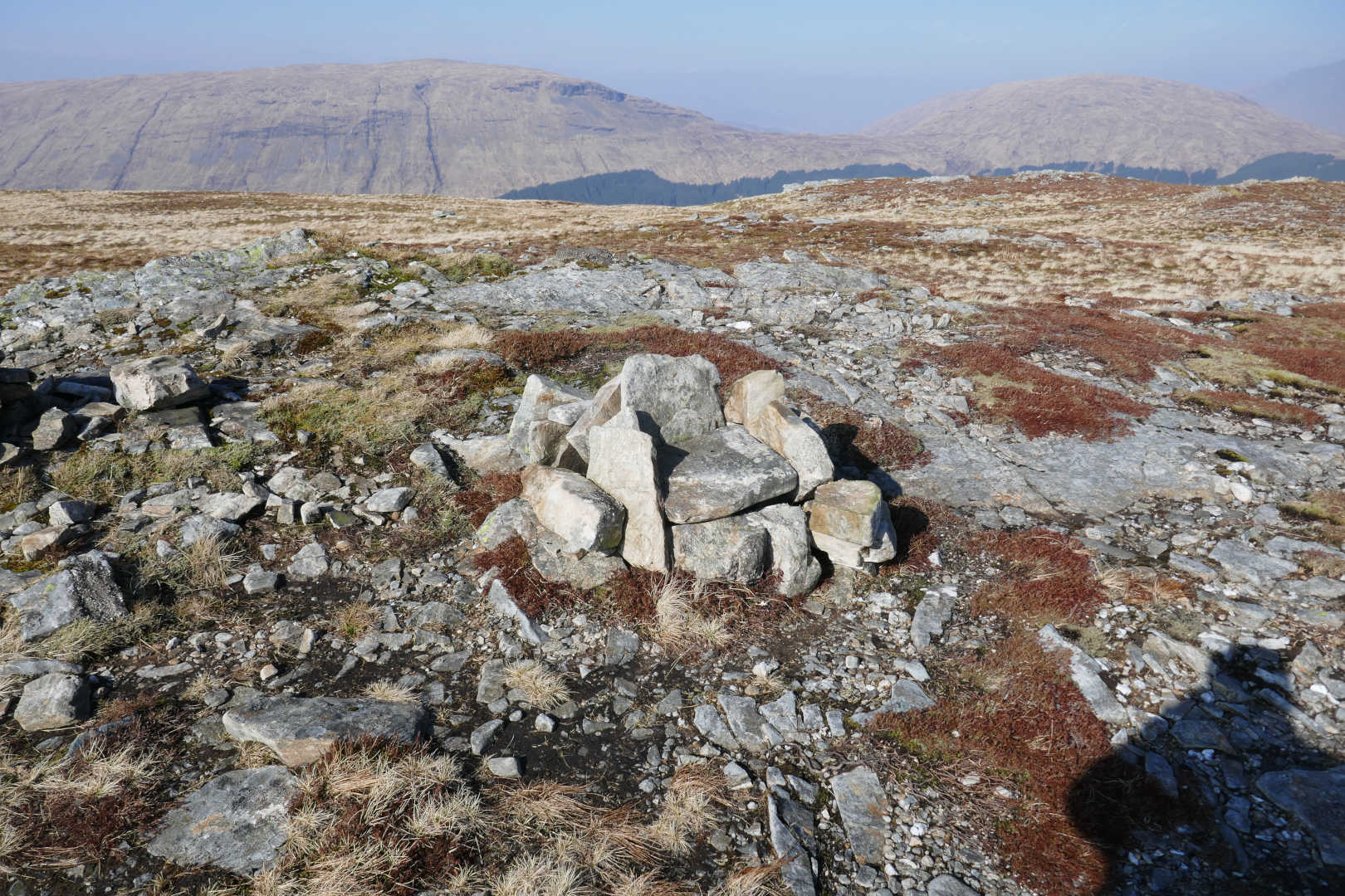
Summit Throne… no need to bring your collapsing chair Andy @G8CPZ ![]()
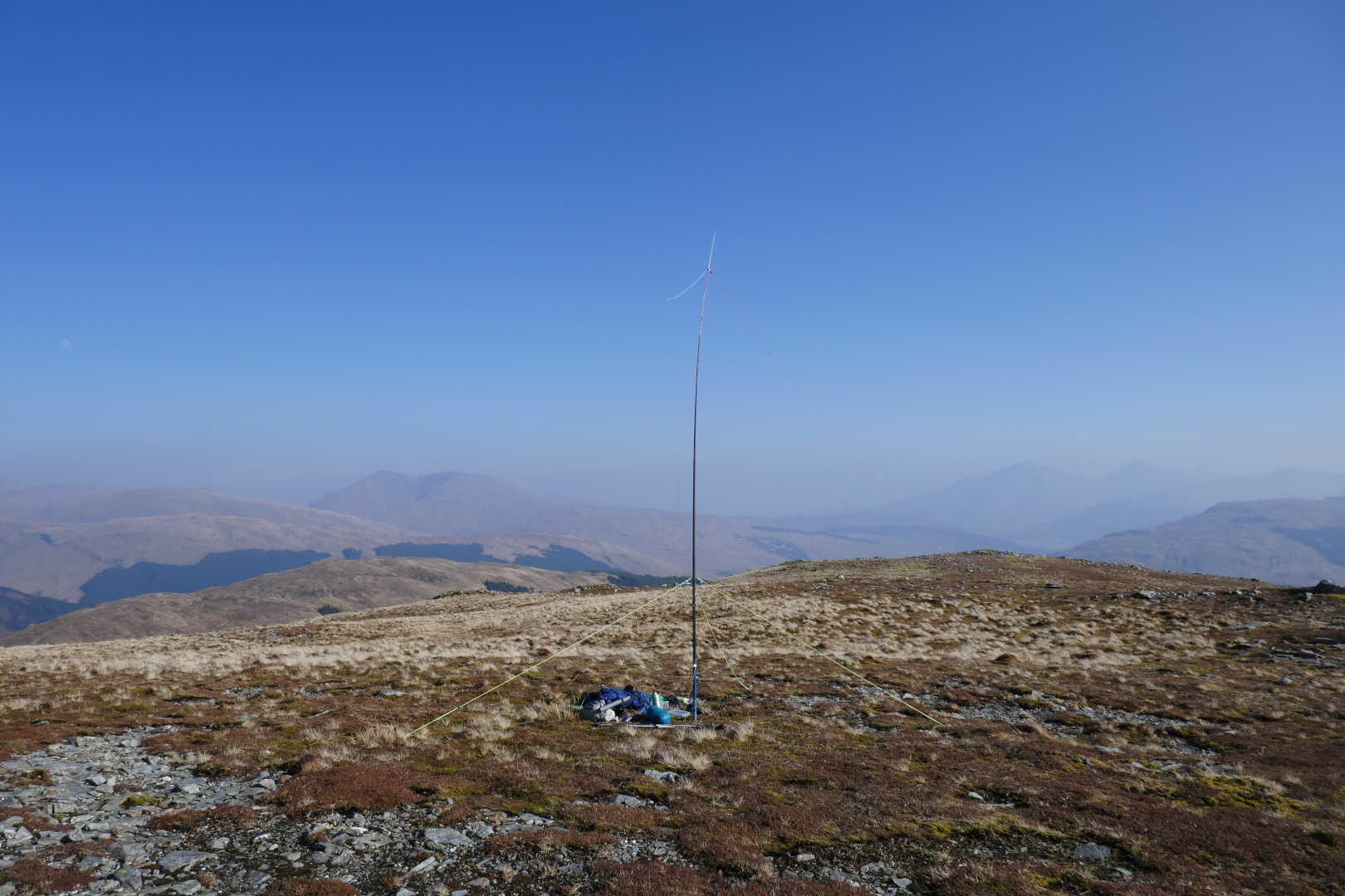
OK, so it was on with the radio. Antenna was my usual trapped EFHW and the IC-705 and a manual ATU. I did not realise how spoiled I am by the KX2 ATU till it’s not available. Conditions seemed OK, not brilliant, but OK.
10x 15m CW
4x 40m SSB (not much activity)
5x 40m CW
8x 17m CW
2x 10m CW
5x 12m CW
705 vs KX2… hmmmm. I don’t think I have my 705 set right yet. I’ve tinkered with the KX2 for over a year. The 705 sounds different, there’s more noise when there’s no signal and the supreme quietness of the KX2 compared to the 705 and the fact it sounds different distracted me making my CW worse than normal. I think I need to use it more and play about with it. I’m sure I can get it better than I have it. I would still buy a 705 again without question to get a VHF/UHF multimode. I also liked the GPS locking up and setting the clock. No problem reading the display in the sunny WX either.
Antenna with Ben Challum GM/CS-021 behind to the left and Ben More GM/SS-001 & Stob Binnein GM/SS-002 behind to the right.
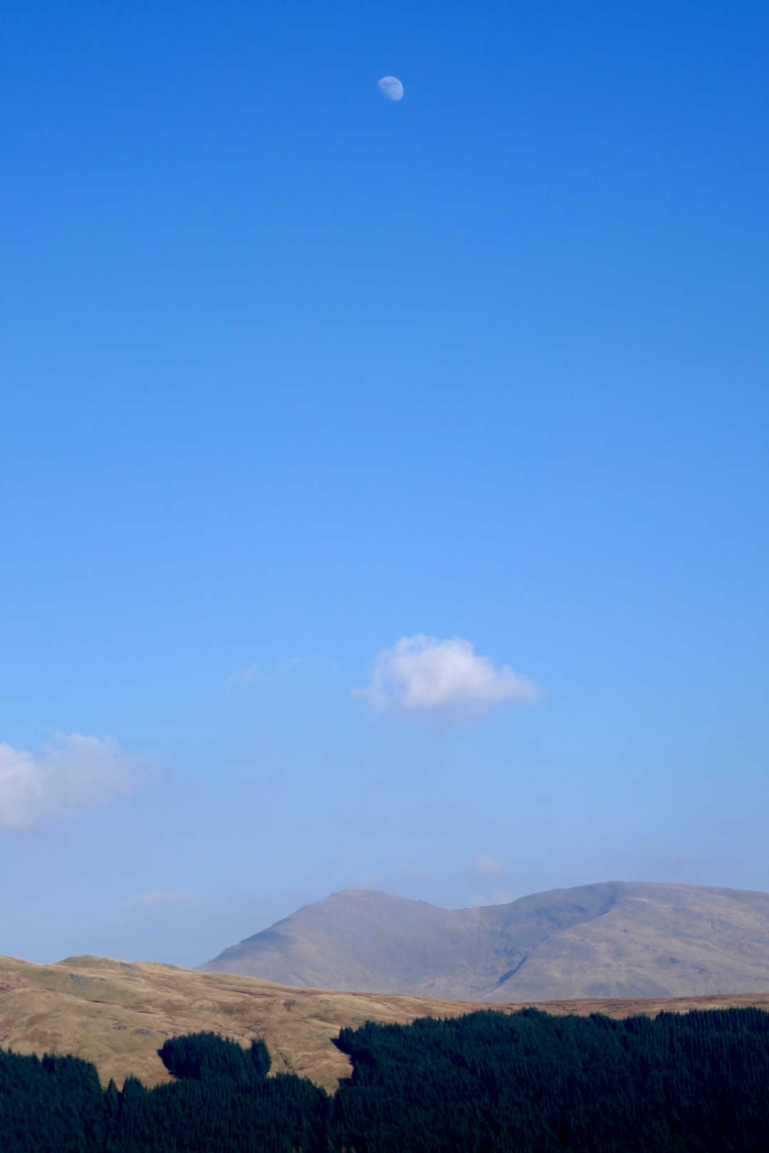
Arty shot trying to juxtapose the Moon, a cloud and Ben Challum. Would be better if the Moon was lower in the sky.
I spent 1h15 activating so it was time to go home. It’s a 2h drive to Dalrigh, 2h30 total walk to summit so it would be 2h back to the car and at least 2h drive home as the traffic would be terrible with it being a really lovely day. Route back was the reverse of the ascent. The ground back to the path seemed easier on return though. I thought it would a tedious slog but wasn’t.
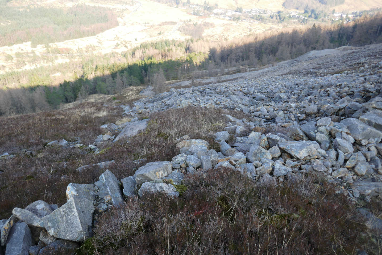
Mine paths on descent… trivial to follow and easy on ageing knees.
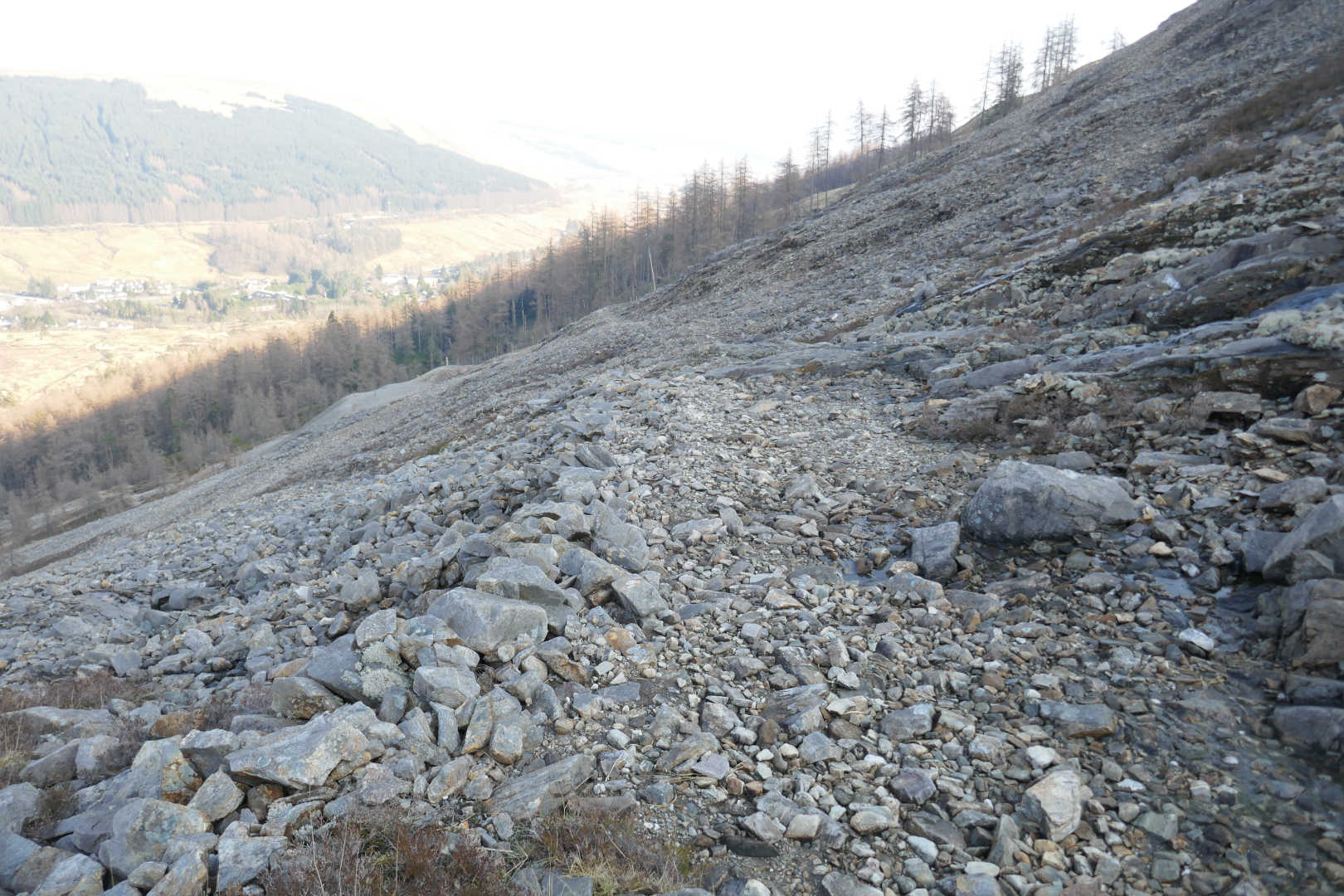
A view down the slope from about 2/3rd up the paths showing the gradient and distance to path back to Tyndrum.
Back at the old shaft I descend the incline the ore was sent down in a wooden chute. Rather than walk down the river bed I wandered through the woods and the mosses. You really do need to experience this. It still a touch misty in the woods.
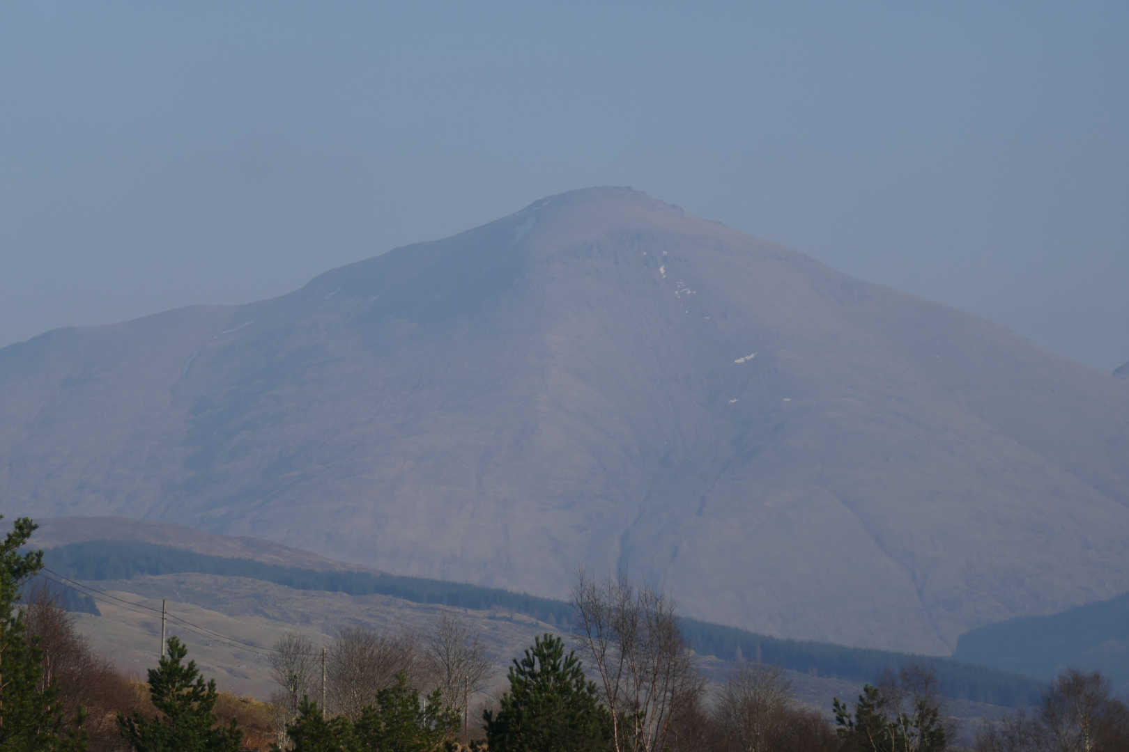
Back along the path to Dalrigh you do get good views of Ben More, Stob Binnein and Cruarch Ardrain. Here is a misty Ben More. The ascent path runs up the left side of that huge choire, it is brutal!
Back at the car, I wasn’t really tired which is surprising as the walk in total is 13.75 km and 666.9 m of ascent. The gradients are made easy by the zig zag path. Maybe it was eating 2 KitKats during the day that gave me a boost! Respect to people who do this with Beinn Chuirn. Either one on its own is enough for me.
Best QSO of the day. 40m CW with Jack GM4COX. Jack was the previous activator of this in March 2015 and he has been waiting 10 years for someone to do it so he can get his complete. My pleasure to give him that.
Here’s the route.
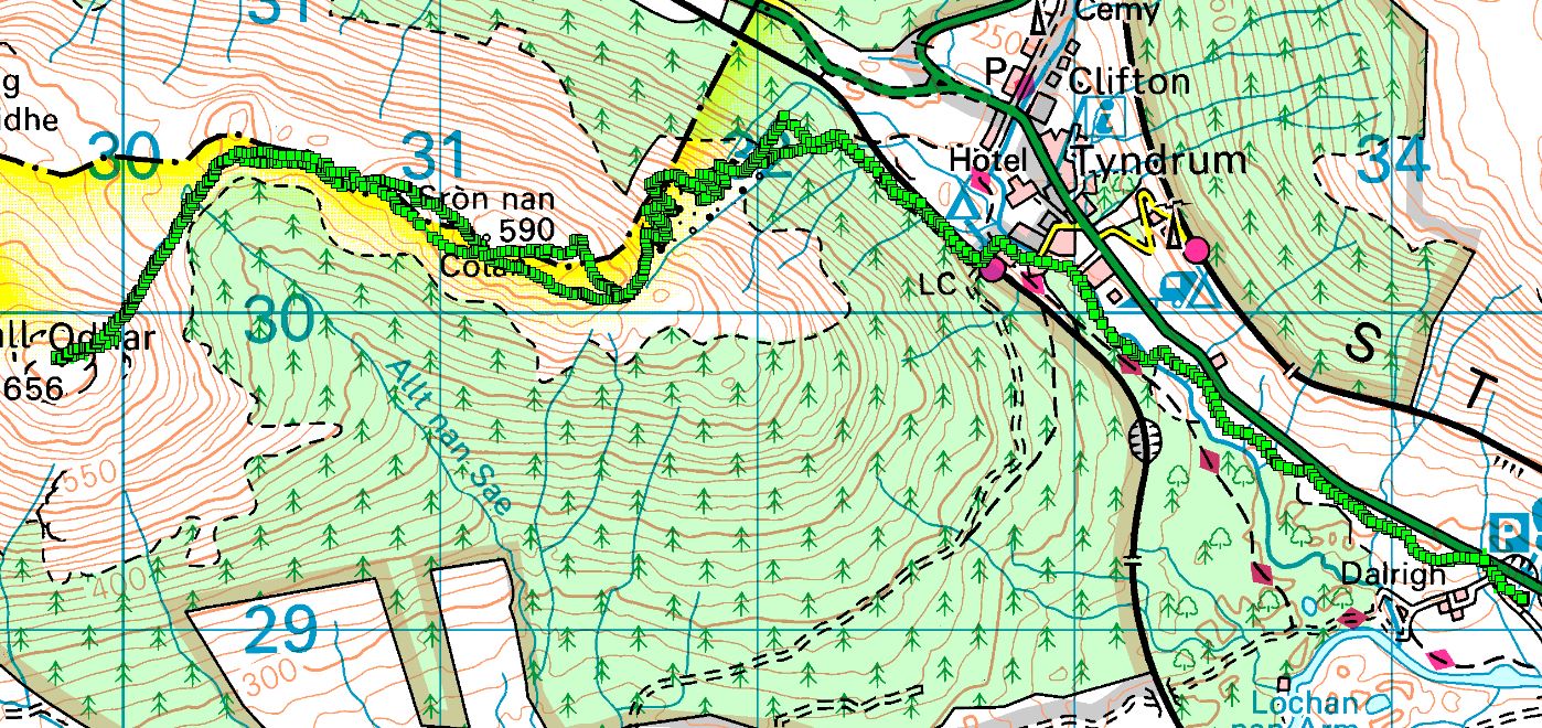
(c) 2025 Ordnance Survey
Interesting videos about the old mine


Interesting video of guy climbing Meall Odhar and then Beinn Chuirn
