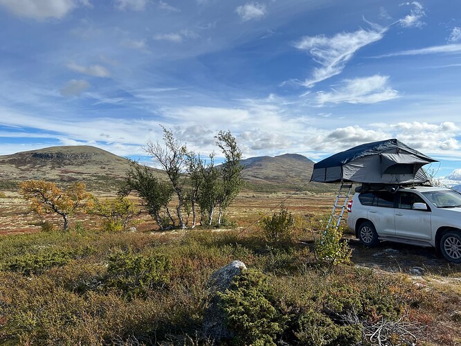
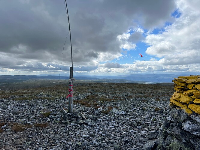
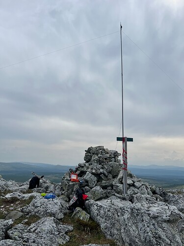
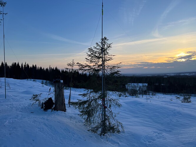
Hi, we are in the Femunden region. Tomorrow we will go to Tverrfjellet. Anyone has ideas for more easy snd moderat Sotas nearby and on the wsx back to the south, on the way home? Tnx. 73
First of all, here is some advice from SOTA Norway, - which may be useful when activating in Norway.
Here are some hiking suggestions in the area:
-
Tynsethøgda
(Tynsethøgda is the mountain to the left)
My favourite in this area. A small detour northwards but definitely worth the trip. The car journey takes you over a private toll road on gravel roads over the mountain. The toll road starts just behind the church at Narbuvoll and goes over the mountain to Øversjødalen. There are many peaks in the area.The easiest destination is probably Tynsethøgda -
Svarthammaren and Østerhogna (Härjehogna)
You can reach both peaks by taking a gravel road (private toll road) to the east, the exit is somewhat south of Drevsjø, the name of the gravel road is Lortsæterveien.Then turn south along Nysæterveien. The gravel road runs through beautiful mountain terrain and large parts are above the tree line. If you follow this road almost all the way to the Swedish border, you will reach the starting point for the trail up to Østerhogna (Härjehogna) Summit Østerhogna (Härjehogna) is located right on the border between Norway and Sweden
To get to Svarthammaren , drive the same way as described above, just stop at a suitable place along Nysæterveien and walk up the mountain from the gravel road.
3)Kvitvola, Nordre
In the centre of Engerdal, drive up a private toll road called Veundåsveien. Parts of the route are somewhat steep up to the starting point of the hike, but it is possible to drive a car up and down. This is an easy hike with just over 100 metres of ascent in about 3 km to get to Kvitvola, Nordre
4)Skuruberget
This is probably one of Norway’s easiest summits. A maximum of 400 metres to walk and a climb of 27(!) metres ![]() To get to Skuruberget drive from Trysil towards Elverum, about 20km before Elverum you turn southeast, the road is called Øvre Skurbergsvei. Just follow this road until you almost reach the summit.
To get to Skuruberget drive from Trysil towards Elverum, about 20km before Elverum you turn southeast, the road is called Øvre Skurbergsvei. Just follow this road until you almost reach the summit.
Please get in touch if you would like more information about the summits described above, or if you would like other suggestions from my “backyard”.
I look forward to your trip reports here on SOTA Reflector
Thank you for this interesting list. Yesterday we did the LA/HM-065 and today the LA/HM-055.
What do you think. Could I activate Gaustatoppen LA/TM-001 on 2m with a walkie?
Today: Kvitvola.
I have not activated it myself. I see on the Norwegian SOTA facebook page that the summit has only been activated with 2m, but it looks like most people activate it with HF. I assume this is not due to the range of 2m from Gaustadtoppen, but the number of Norwegian radio amateurs listening permanently on 145.500 (145.525, 145.550 etc).
A tip might be to use the very large interconnected repeater network (inland network) call CQ there, and say that you want contacts on direct frequency. The inland network covers large parts of south-eastern Norway. The frequency list/subtones and map can be found here:
We are working the list. Tomorrow one of the two next to the border and the Skuruberget.
Do you have any recommendations between Elverum and the coast (going to Sweden)?
The summits south of Elverum are boring ![]()
I recommend that you rather drive 2 hours and 8 minutes westwards (Drevsjø, Ulvågrenda, Åkrestrømmen, Koppang, Atna, Enden (in Sollia)Drive Ringebuveien to Venabygd. Along the “Ringebuveien” mountain road there are a number of peaks with varying degrees of difficulty. You can then drive along Gubrandsdalen southwards towards the coast.
Very easy summits are:
Slightly more demanding than an easy hike:
- Muen
- Gråvorden
- Svartfjellet
There are a large number of great peaks in this area, this is just a small selection of some peaks I’ve been to myself.


