Becs de Bosson 3149 m HB/VS-161 consists of two principal peaks, Grand Bec (the main summit) and Petit Bec. The two are almost the same height, differing by less than a meter. Most people visit the Petit Bec only, as it is considerably easier to reach than the Grand Bec.
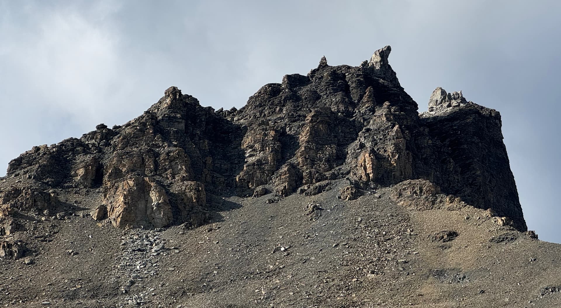
Becs de Bosson seen from NE – the main summit (Grand Bec) is the crooked “horn”
The current swisstopo map correctly shows the main summit location on Grand Bec, and gives its altitude as 3149 m. I found it interesting though that the AZ polygon currently shown by SOTLAS only encompasses the Grand Bec, as I was sure I had seen the Petit Bec included in it when the HB AZ polygons were first published. So I checked the swissALTI3D DEM data, and there has indeed been an update for the region in 2024. Now, the situation looks as follows:
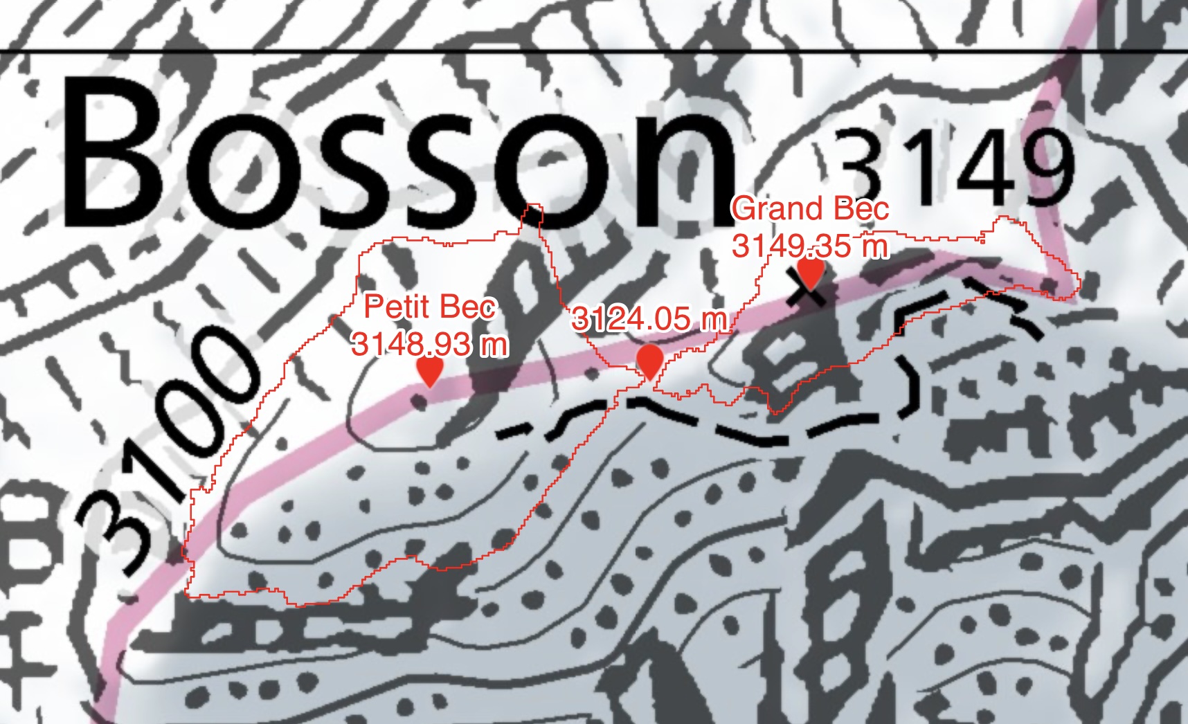
The red contours encompass the points >= 3124.35 m. The areas are disjoint, with the col a whopping 30 cm too low for Petit Bec to still be in the AZ. Of course this is very much at the limit of accuracy of the DEM, so it might as well be that Petit Bec is in the AZ after all, or that it lacks more than the 30 cm.
Today I climbed Grand Bec together with Stefan @HB9HCS. We decided that instead of “living on the edge” as far as being in the AZ or not is concerned, we’d rather “activate on the edge” ![]()
Some scrambling over blocks leads to a chimney that is climbed in order to reach the summit (III+). It was windy, so we kept the activation relatively short. The KX2 + AX1 combo came in handy – while I don’t particularly like it as it gives chasers a much harder time (especially on 40m), it is quite useful on such space-constrained summits.
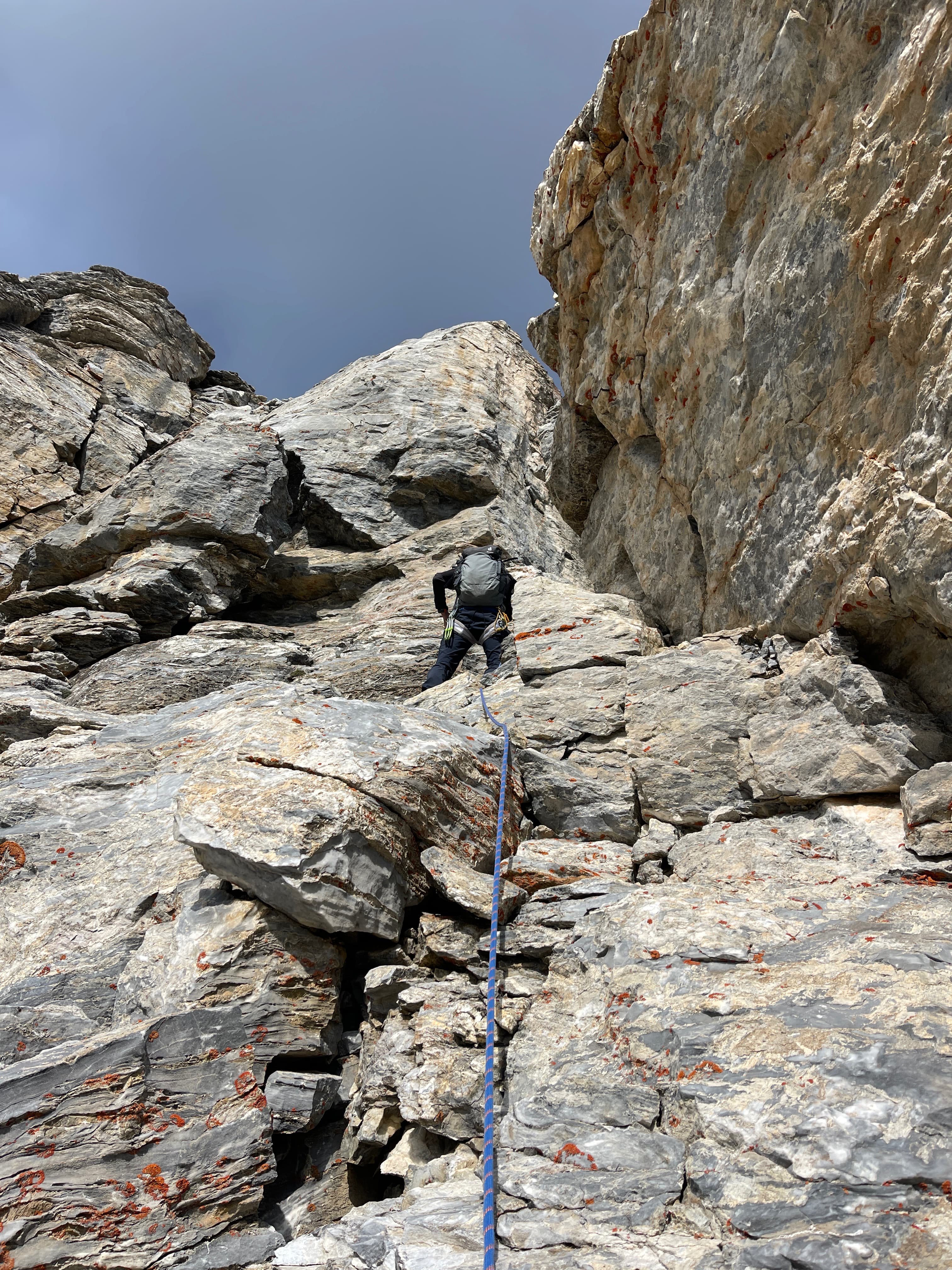
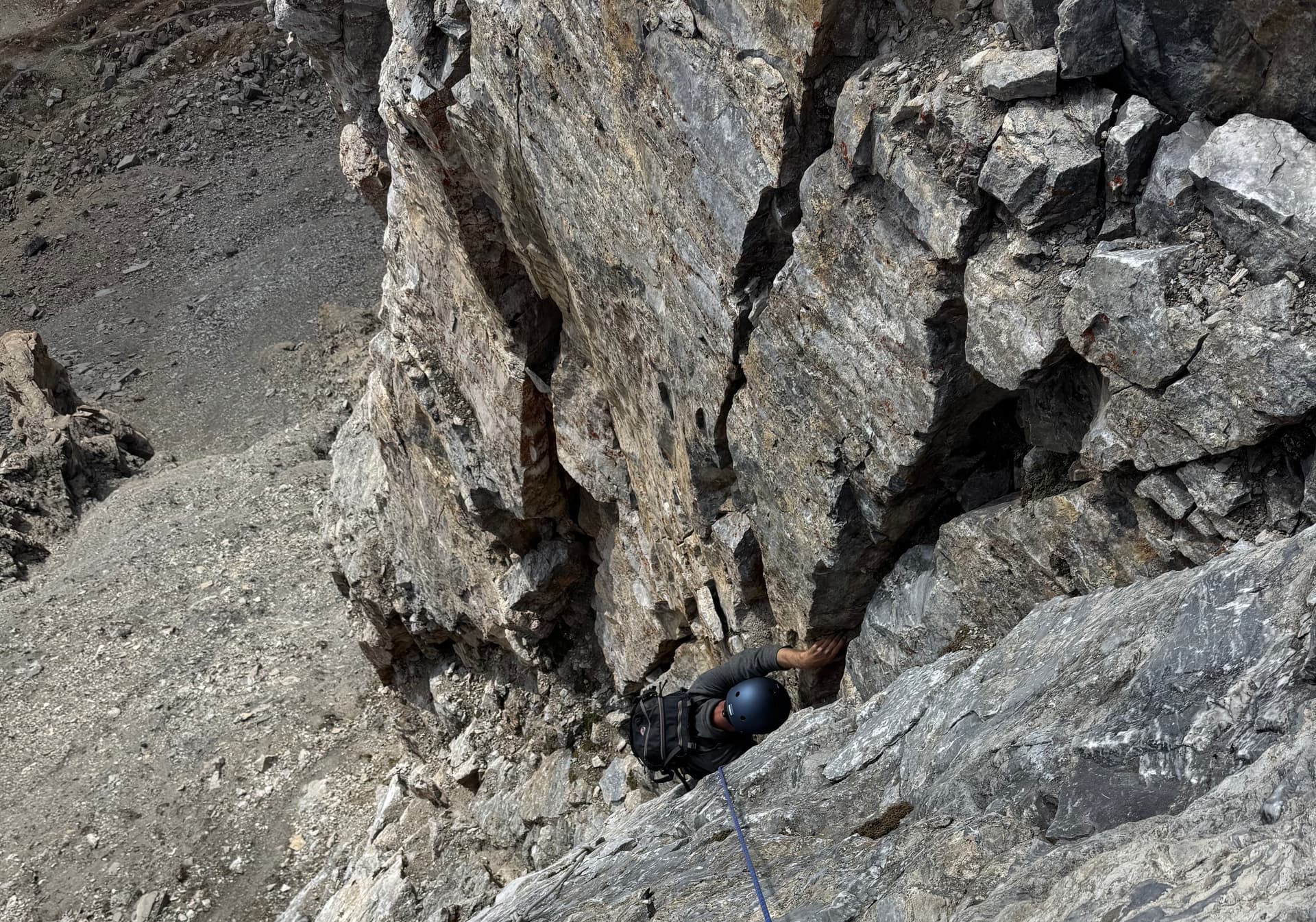
HB9DQM in the first part of the climb before traversing into the chimney
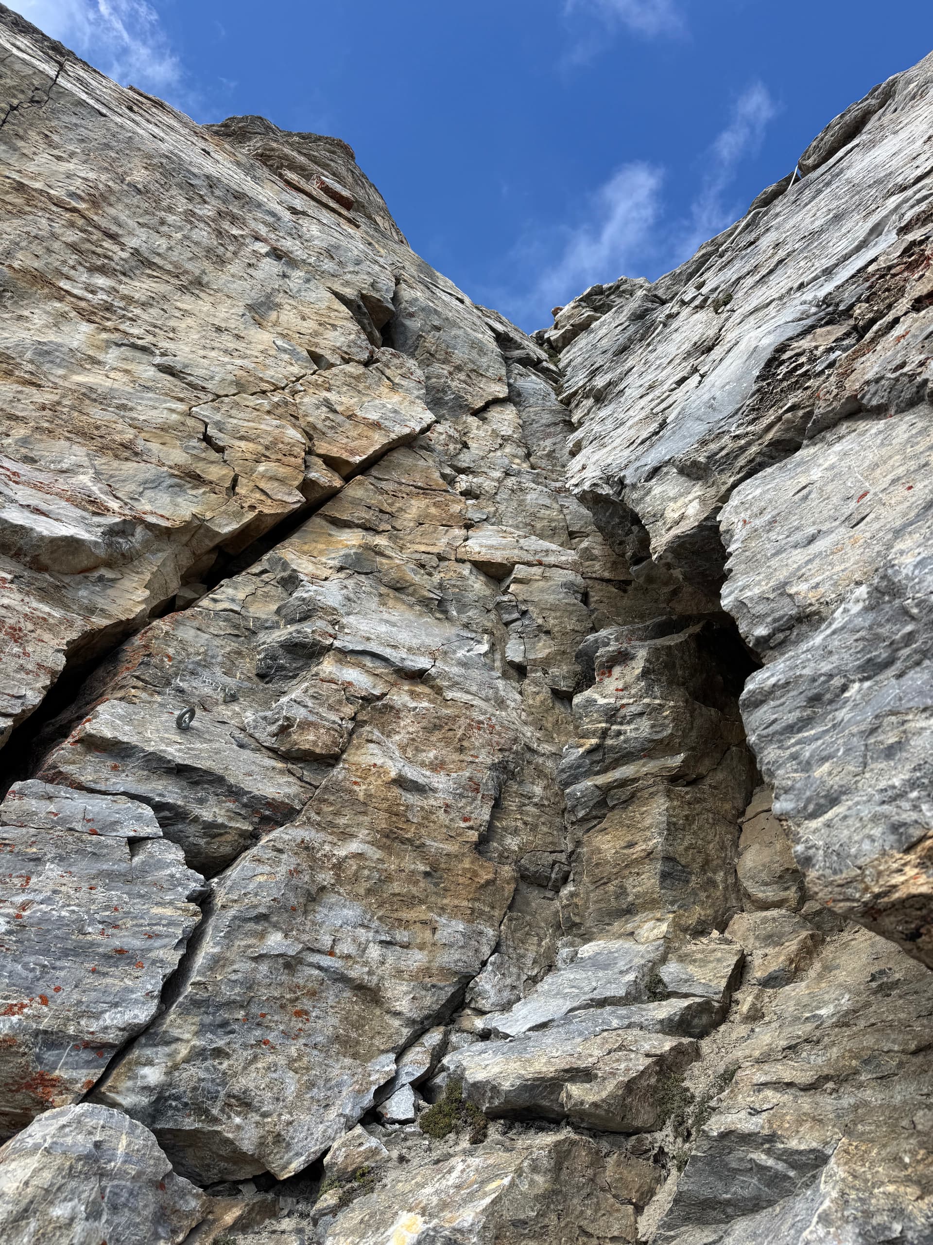
Looking up the chimney; bolts to the left
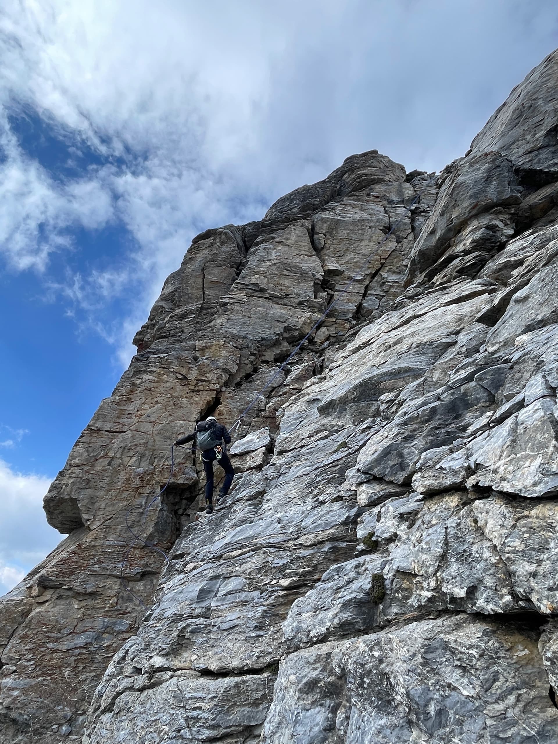
Stefan following up
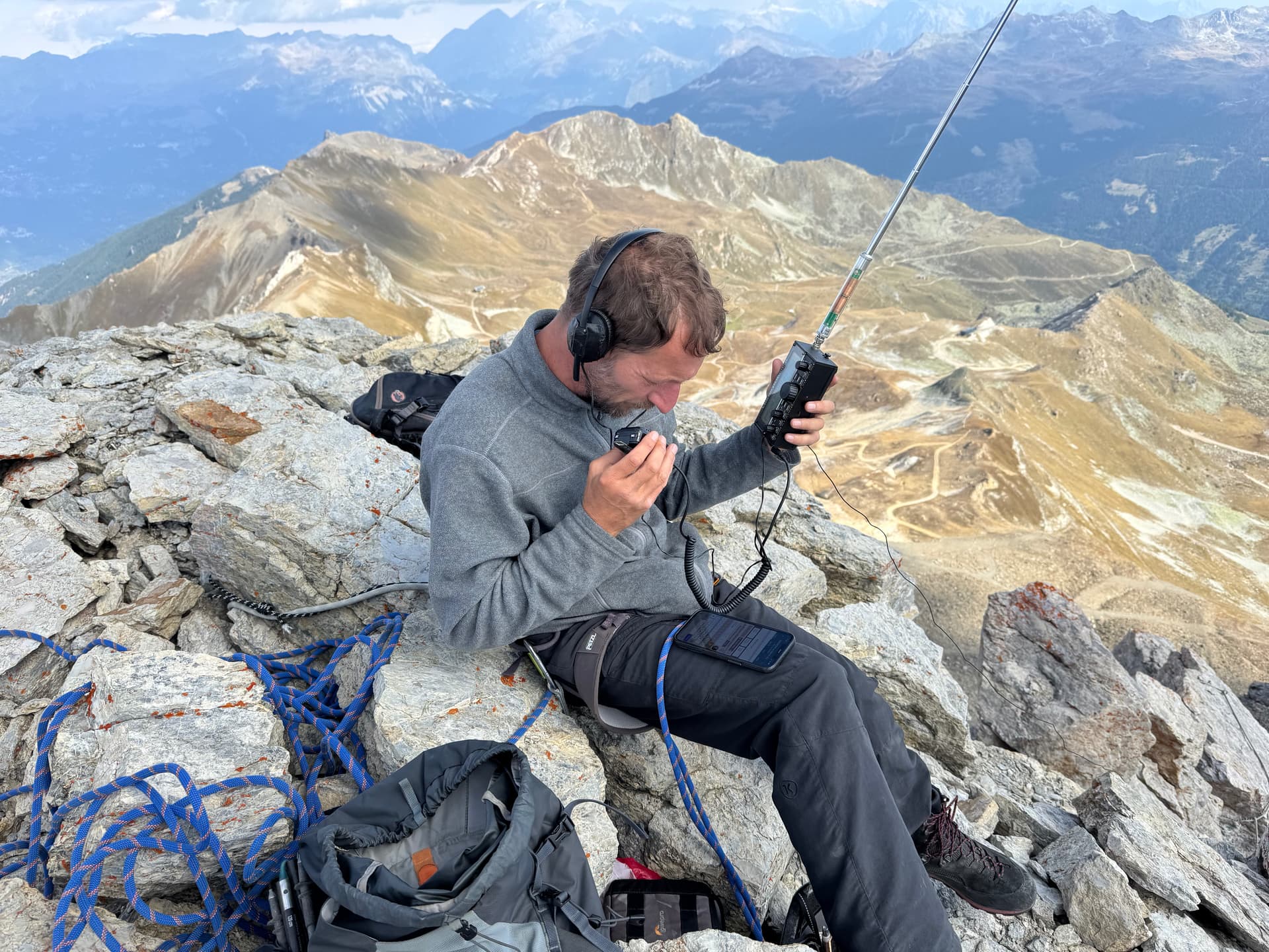
HB9HCS activating
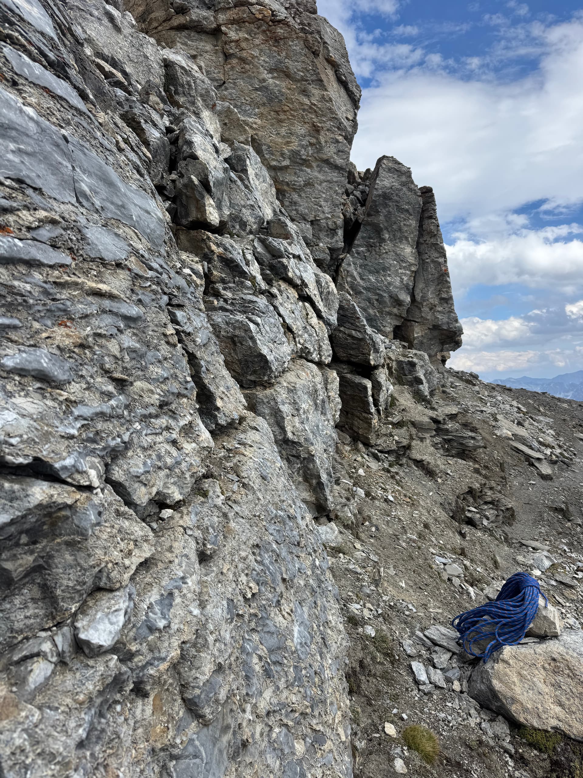
An abseil down from the summit block got us back on the path below Grand Bec. My 50 m rope had just the right length, with not more than a meter or two to spare. Given that the tower isn’t exactly vertical, this means that the altitude difference between the summit and the path must be something slightly short of 25 m.
Therefore, those that are determined to activate the summit without climbing the tower may find that a small section of the path just below Grand Bec is probably in the AZ (which can also be seen on the map above), although not an ideal place for an activation. One could also scramble up a bit from the path towards Grand Bec; the first few meters are easy. On the other hand, activating on Petit Bec is not guaranteed to be in the AZ.
I’ll leave it to the previous activators @HB9AFI, @MM0YCJ, @HB9NBG, @HB9FZC to determine if they were activating from within the AZ ![]()
73,
Manuel HB9DQM