Motivation
As of August 1st 2026, Mt. Montejurra has been introduced in the EA2/NV summits list, becoming the last reference of this association (to date).
Nevertheless, this is not a newly identified summit, but a new reference given to the previously existing reference EA2/NV-090, which is now retired. A nearby higher summit was found few hundred meters apart from the old reference. This map shows both references :
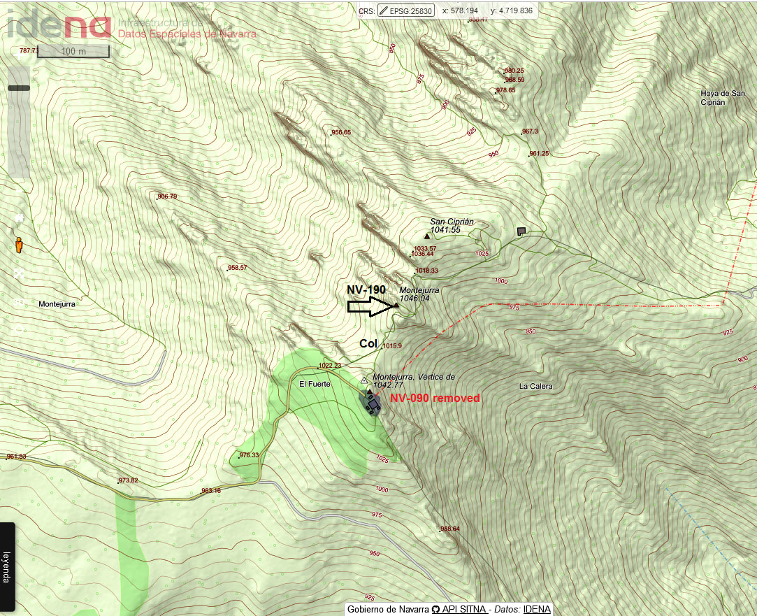
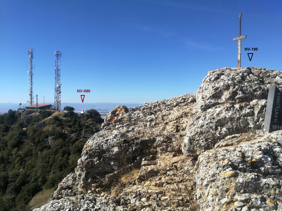
And this is how the old summit (occupied by a big relay station) is seen from the new one:
How to get there? Let’s see.
Activation date: Sept 12th, 2026
The climb
There are several tracks ascending Montejurra. I chose approaching from the village of Ayegui.
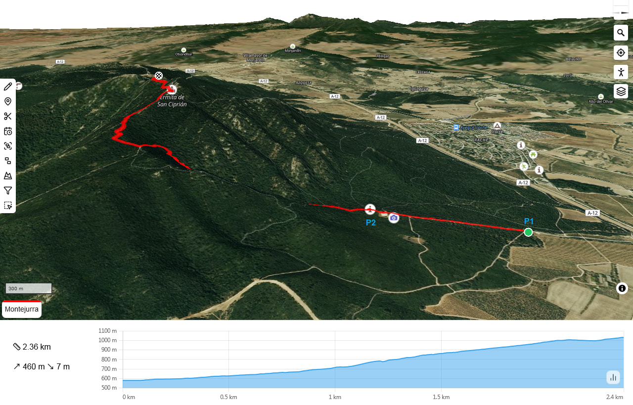
At 42,6471 N / -2,0365 W you leave the main road, and drive by a small road that provides access to some country houses. Further on, you deviate by a dirt road. I parked at 42,6428 / -2,0381 (P1), but I f you wish you could drive a bit more some hundred meters to the final parking (P2) .
- Trail length: 2,4 km (one way)
- Mountain elevation: 1046 m asl
- Elevation gain from the parking P1: 460 m
- Time from parking to the summit: 1h 5min
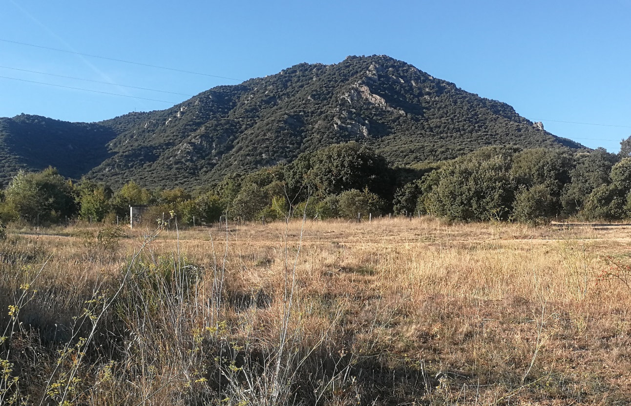
This is the mountain from the parking:
While reaching the second parking you choose the left hand side path. Be careful as there’s no indicator for the summit at this start point:
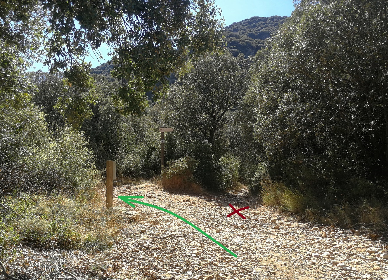
The path is then obvious and follows the forest most of the track, without any view of the landscape. The trees around provide a good shade and it’s only when you reach the last part that views become open.
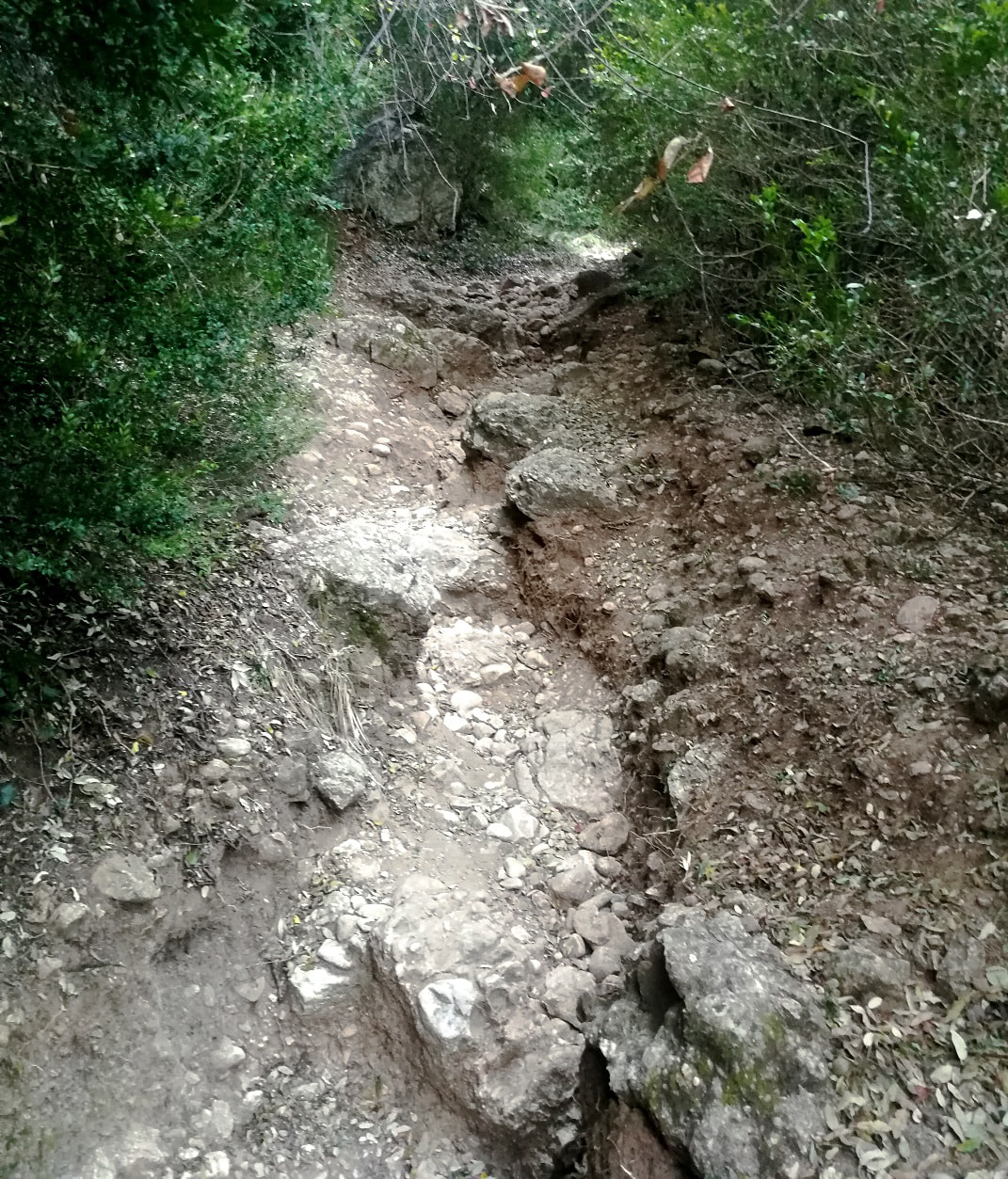
The path is not comfortable: it’s full of nasty round stones and deep cracks. You have to step with caution through different ground levels and the progression is tiring. I was glad that I had brought my mountain sticks.
I imagine this path would be very bad in rainy seasons.
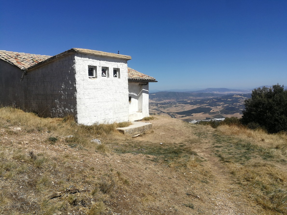
Only when you reach Saint Ciprian hermitage you have a relief as the path widens and you see the valley:
You get on by the left hand side, ignoring the first minor peak near the hermitage.
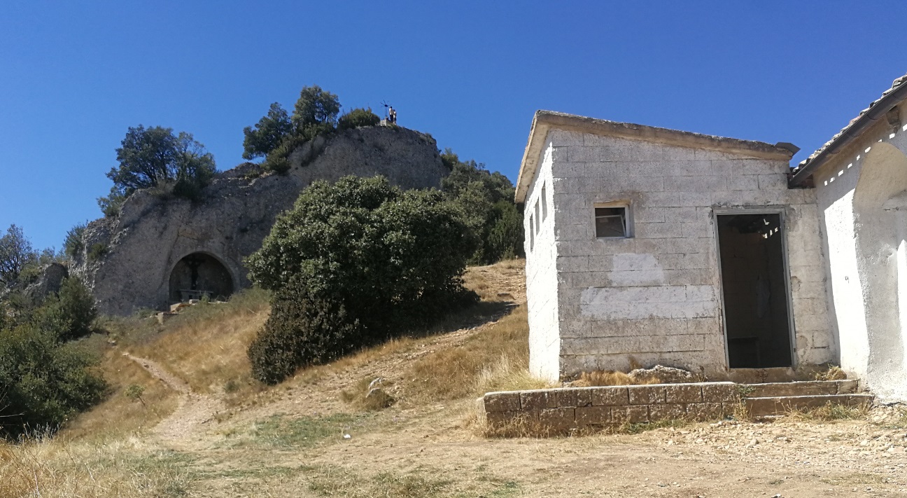
The path is now free from these stones and soon, a tiny path leads you to the deviation (42,6305 / -2,0445) to the true summit. Pay attention as it’s not evident, nor marked!
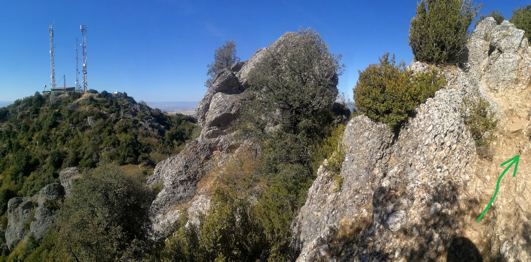
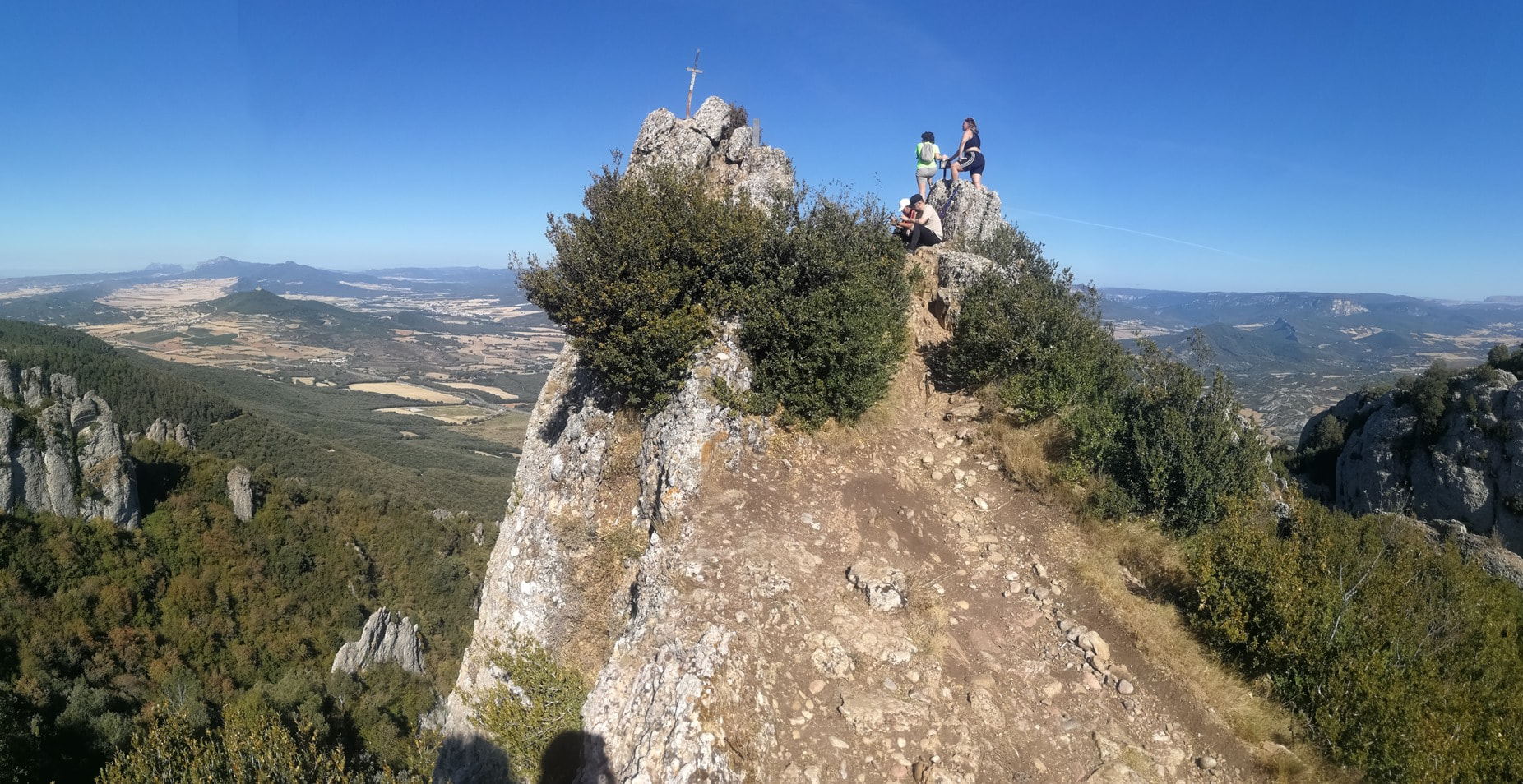
You better collapse the sticks and use your hands to climb there, although it’s not dangerous and you soon reach this very pointy summit, with little space for a few people:

The activation
After a quick visit in the summit, with some people seated and resting, I was sure that this wasn’t the right place for a radio activation.
Definitely no space for a dipole or an EFHW antenna. I got back just a few meters and found at one side a bit of space that looked enough to install my 4m short loaded vertical antenna.
I was lucky that it wasn’t windy at all and I tied the pole to a bush and carefully extended the 4 short radials trying not to obstacle the path.
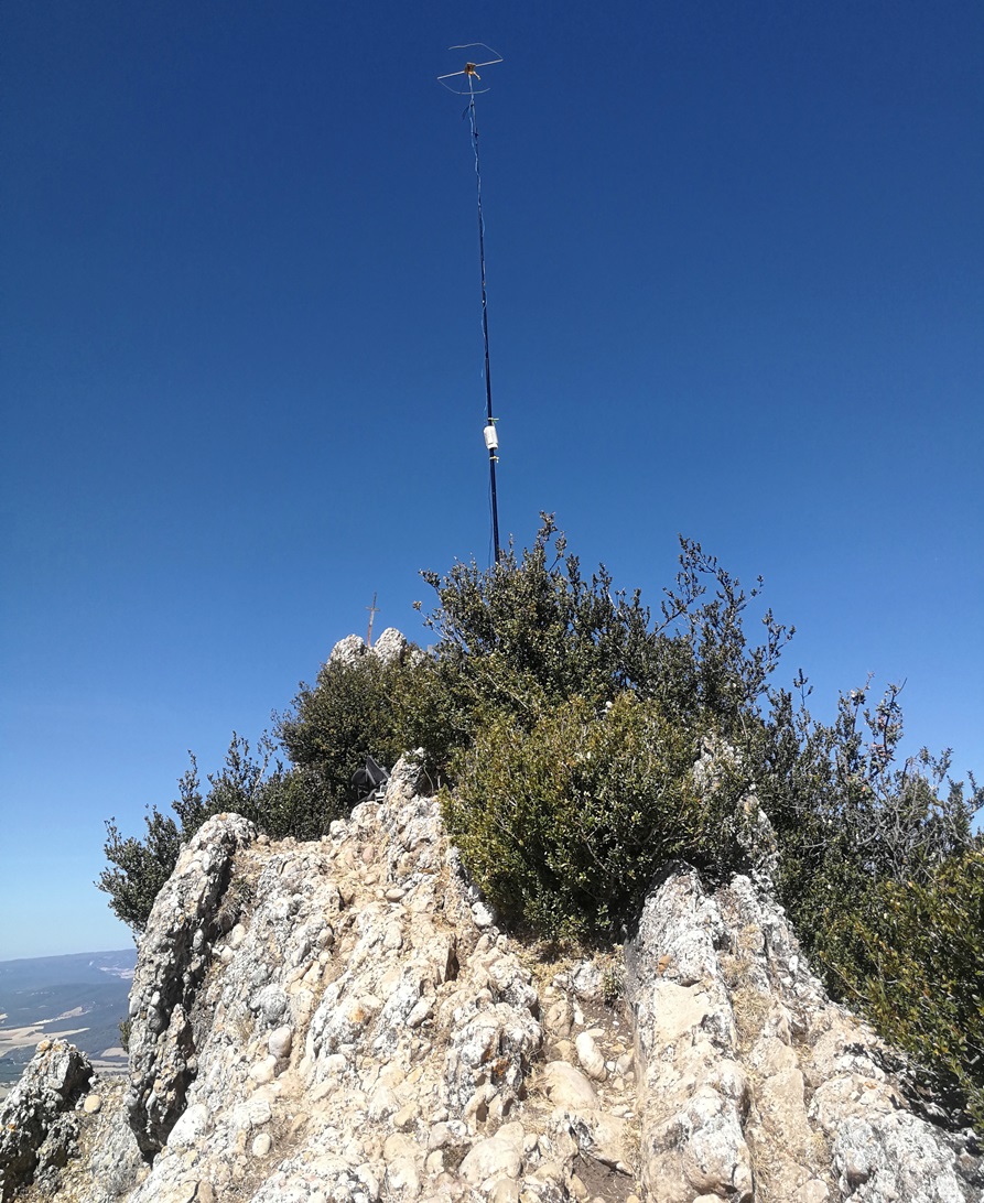
I ran my FX-4CR rig mainly in 14, 10 & 7 MHz, both SSB & CW, and a bit of 145 – F M. I logged 72 QSO all in all.
Happy after the nice radio time, and with all my gear secured at my backpack, I got again to the summit, now free from visitors, and took a last picture. There’s a mountain mailbox and a curious sword, nailed on the summit top: was that Excalibur, maybe?

Over by now, thanks all and 73.
Ignacio