Activations reports for PA/PA-002, LX/LX-001,F/ NO-070, ON/ON-006, F/NO-047
PA/PA-002 Vrouwenheide
10-Jun-2015
This summit is a few km from Ubachsberg which is a few km from the city of Heerlen, Netherlands and sits on the Dutch/German border. I found Ubashberg easily but there are lots of roadworks and my tablet’s GPS/map combo was needed to find my way past closed roads. There is a car park in the woods but the gate to it was closed. I parked by the gate where there is space for 3 cars. It takes almost 5minutes to reach the summit marker but the AZ is huge so I operated from a clearing nearer the (closed) car park.
Conditions were not good and I realised that 20/17m may be an excellent choice to activate with in GM but in PA the skip was to areas of few chasers. I did manage KA1R on 17m but one hour netted me 2 QSOs. No points, but enough QSOs to claim the unique summit for a new country towards the next level of the Mountain Explorer Award. It took no time at all to drive from here to my hotel in Aachen.
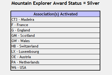
Summit trig point.
LX/LX-001 Steekammchen
12-Jun-2015
Business trip to Aachen finished, I left at around 2.00pm and made for LX-001. My hire car had been upgraded FOC to a Mini Cooper which was really rather quick and had a lots of grip. Best of all it had a fabulous “connected” GPS which meant I could enter the names of the roads the summits lay on and the nice lady told me how to get there. A godsend when someone has convinced everyone to drive on the wrong side of the road! It got me to with 150m of the summit and did a better job than in PA when it didn’t know about the roadworks.
The summit lies above Erpeldange and the GPS knew of the road named An de Gewaann and took me right to where the tarmac stops and the gravel begins. It’s an excellent gravel road and you can drive easily on it. As soon as the road started to descend, I parked up and wandered off to the summit. Big walk must be 150/200m to the where I operated from. Again 20m 1st and conditions were much better with a fair amount of short skip so I was able to complete with G0RQL in Devon on SSB. It was very hot and overcast with lots of static bangs. When I heard rumbles of thunder nearby I did a rapid takedown and was back at the car just as the rain drops started. Then I noticed I’d left some clips at the summit and had to go back all that way. So I did the walk twice, must be nearly 500m in all!
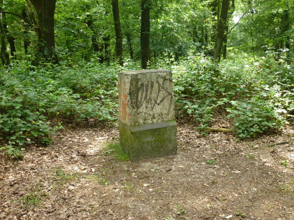
Operating position at the summit of LX-001.
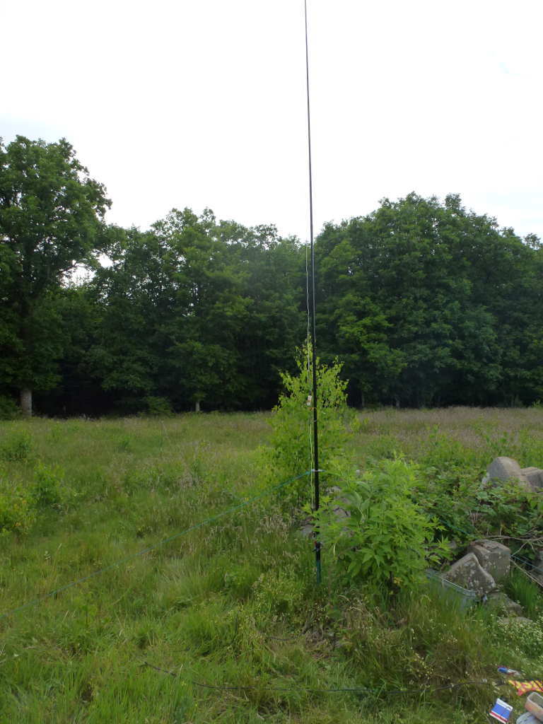
The summit clearing. If you walk to the log pile and then down past the trees you come to where you can park off the gravel road.
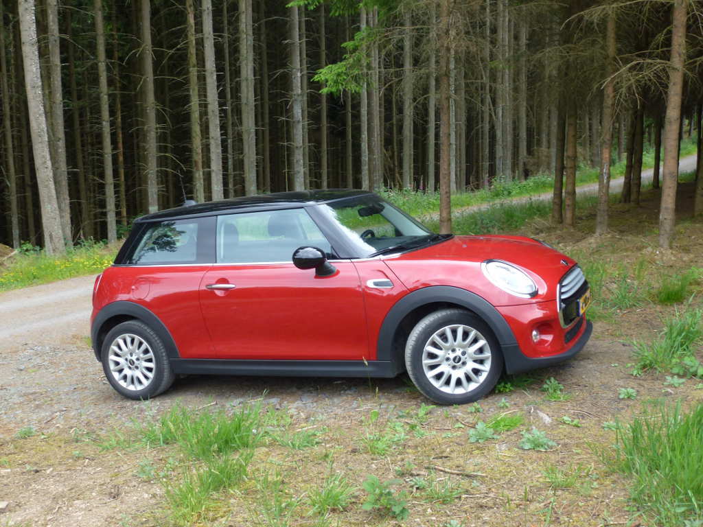
My trusty steed for a trip around Northern Europe. Huge fun to drive, best part was paying for a Peugeot 208 and being upgraded for free to this pocket rocket 
#LX/LX-004 Widderbierg
13-Jun-2015
I cancelled this summit. I stayed overnight in Luxembourg City and when I woke the predicted rain was falling. Very heavy rain still falling at 9.00am. So I breakfasted in a local cafe on coffee and croissants (and pain de chocolait). I decided that whilst it was only 10km from where I was, I would be better having a more leisurely drive to France.
F/NO-070 Le Haut Mont
13-Jun-2015
By the time I got here the rain was long gone and the sun was shining. It was about 23C (31C in Luxembourg Friday was too hot). The AZ is massive so I didn’t make the true summit. Just as well as it involved walk past a crop of peas or beans of some kind and the waist high plants were very wet still. I parked the car just off the road in some woods, walked back up the hill and set up on a clearing. This time 20m was in my favour with lots of good short skip. I could have done with suncreme as it was very sun when I packed up. I did have a hat though.
Lots of puzzled drivers drove past wondering what was going on. They looked at me and I mouthed “Bonjour” and always got a smile. Nobody reported a strange man with a Dutch car doing funny things by the road which was good. By the time I packed up it was a really nice sunny day. I’d stocked up on essential supplies in a supermarket in Luxembourg (buns, coke, apples, peaches, peanuts) so I didn’t bother stopping for lunch on the next drive.
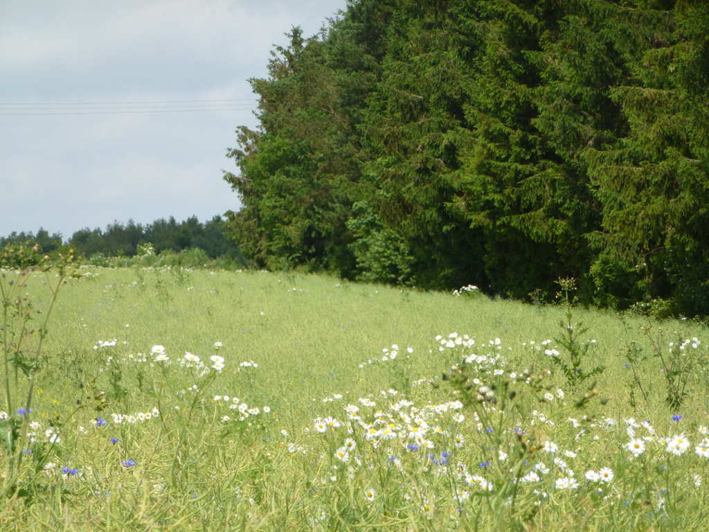
Part of the AZ. The true summit is 200m from here but where I was standing is well in the AZ.
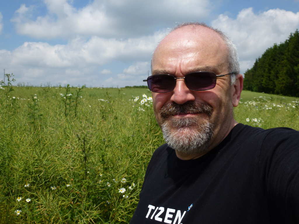
Enjoying the rays! It was very pleasant operating from here. Maybe a black T-Shirt is not the best choice for French summers and it was quite warm.
ON/ON-006 La Croix Saile
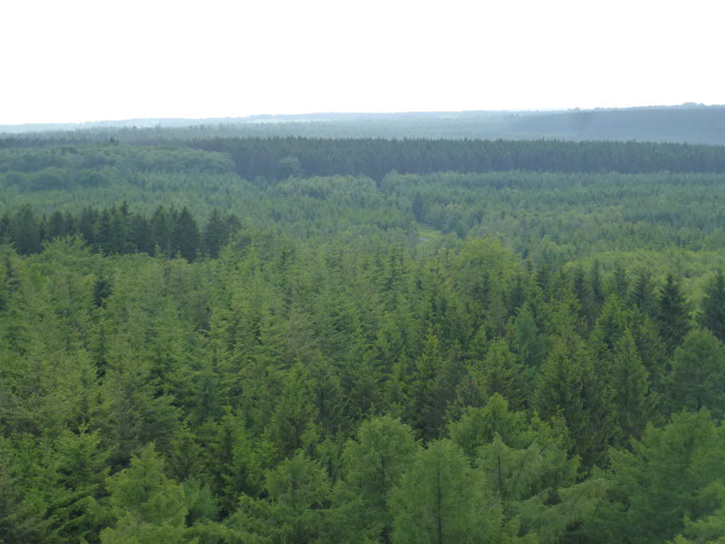
The drive to here from France across The Ardennes was glorious. Nice summer day, AC blasting away, sporty car with Go-Kart type grip and performance, wonderful scenary, all I needed was a blonde sat next to me and stop for a long lunch and some fine wine. Well the blonde was back in Scotland and the drink limits in Europe are 50mg like Scotland so no booze. Trees? Are there enough trees in The Ardenne? Yes. When they say it’s a forest they are not telling lies.
Anyway, ON-006 was reached with no issue… the nice lady never put a foot wrong after PA-002. Or maybe I now knew how it to program it better! There is a big car park here as there are many walks/bike rides in the forest. There is also a huge tower/viewing platform to commemorate the Millenium. And an shop selling coffer and Ice Cream. One Magnum Classic later (very naughty but it was 26C now) I set off. The car park is in the AZ. A huge amount of France and Belgium is in the AZ. I walked along the road then turned off into the forest following Phil G4OBK’s route. I had my phone GPS / Google maps running and I meandered along lanes until the GPS showed me on the French/Belgian border. Time to play.
I set up on the Belgian side of a track in the shade. The skip was now wrong and it was hard work to qualify the summit. There were more flies than I have ever seen, a midge net would be wise. But I qualified it eventually. Then I moved my gear to the other side of the track into France and …
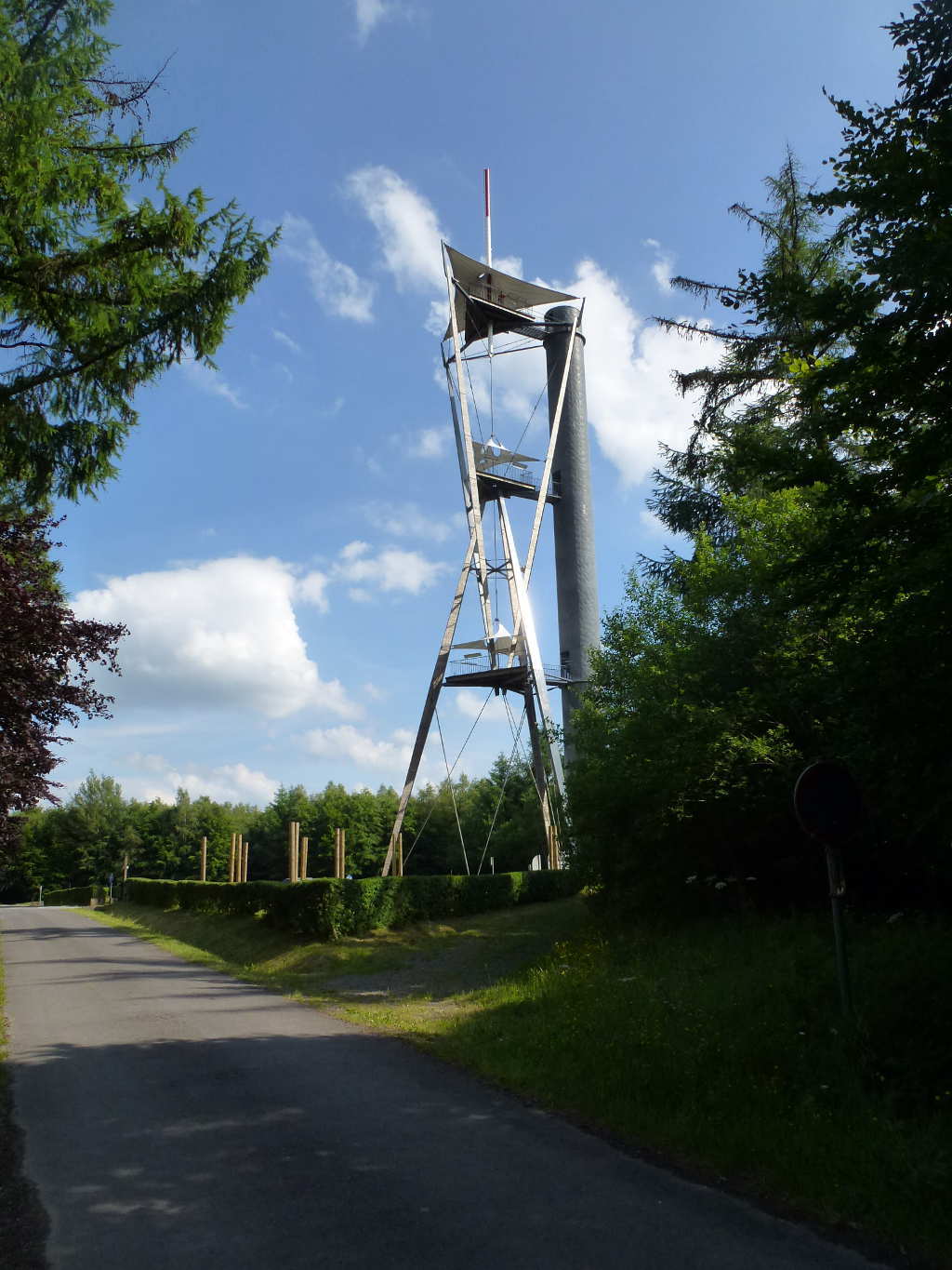
The viewing tower. Worth the effort as the views are good.
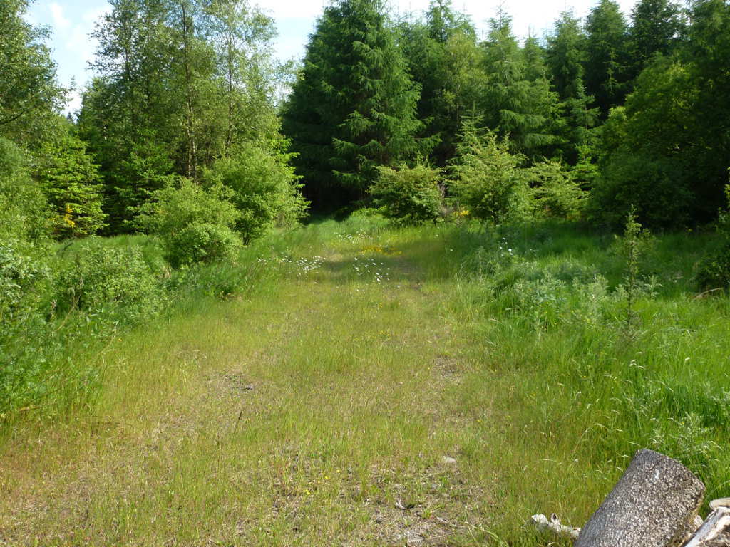
The track can be seen in the middle of the picture. I operated from where the light green and dark green trees meet.
F/NO-047 Moulin de Thilay
13-Jun-2015
Well this is the same summit. Although the database recorded summit is a few km along the ridge in France. The actual highest point is back in Belgian. It’s the same summit with 2 refs and really only the Belgian refs is the valid one. But it is in the DB and valid until it gets removed with other Border summit dupes and so it would be rude to pass by the chance of another unique.
Well I got the unique but no points as I spent 45mins struggling to get 3 QSOs in the log. After that my stomach was rumbling and I need beer, the flies were driving me insane so it was back to the car for a look up the tower and then the hotel.
My GPS suggests this track is on the French/Belgian border. Belgium is to the left and France is to the right.
I was meeting Peter ON4UP the next day. We had discussed activating summits or spending time chatting whilst eating and drinking in Leuven. Beer won!
I managed to visit 5 countries in the following order in 6 days, Scotland > Netherlands > Germany > Belgium > Luxembourg > Belgium > France > Belgium > France > Belgium > Netherlands > Scotland and drove about 1200kms. The Mini averaged 48mpg which was nice but the boot(trunk) is tiny. 2 people with luggage would need the back seat lowering. I used my FT-817 barefoot, a 5m travel pole, a Buddistick clone antenna for 20/17m. A single 4000mAhr LiPo powered the rig.
A huge amount of fun had and some really nice bits of Europe discovered. I think a long weekend in Luxembourg with Mrs. FMF is needed as it was very pretty (and so cheap!) along with a holliday in The Ardennes. Thanks to everyone who worked me and I think Mark KA1R wins the “worked Andy on every physical summit” award. Also thanks to Peter ON4UP for a nice day in Leuven and to Phil G4OBK for suggestions and route advice.
This was very, very easy to do and anyone in the UK fancying some easy “foreign” SOTAing that is more adventurous than GI/EI/GD, should consider a bagging session in this area.