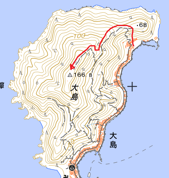
The plan was to activate Okiooshima today. The weather was lovely. I had a peek at various navigation apps how to reach the summit, and the GSI-app showed a promising path.
We caught the 11:30 ferry to Oshima from Yawatahama harbour. The ferry-ride is 25 minutes and the return-ticket is ¥1350.
So we hopped off at the harbour and found the start of the path which showed gradually rising levels. After a wrong start we found the correct path. We smoothly continued our path, only to be briefly startled by a big, long brown snake. Untill we reached an orchard. The farmer has thrown all of the cut-off branches over the fence, across the path. We scrambled a bit further, but past the orchard, the path ended. This was within 145m of the summit, but too low to be valid for the activation-zone (it was 115m).
Since our ferry left again at 16:30, I didn’t want to try alternative paths, afraid we might be back too late.
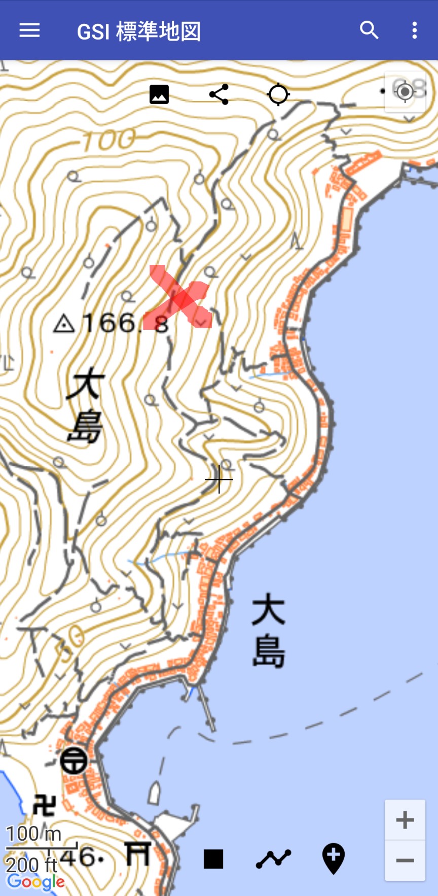
GSI path, doesn’t continue past cross.
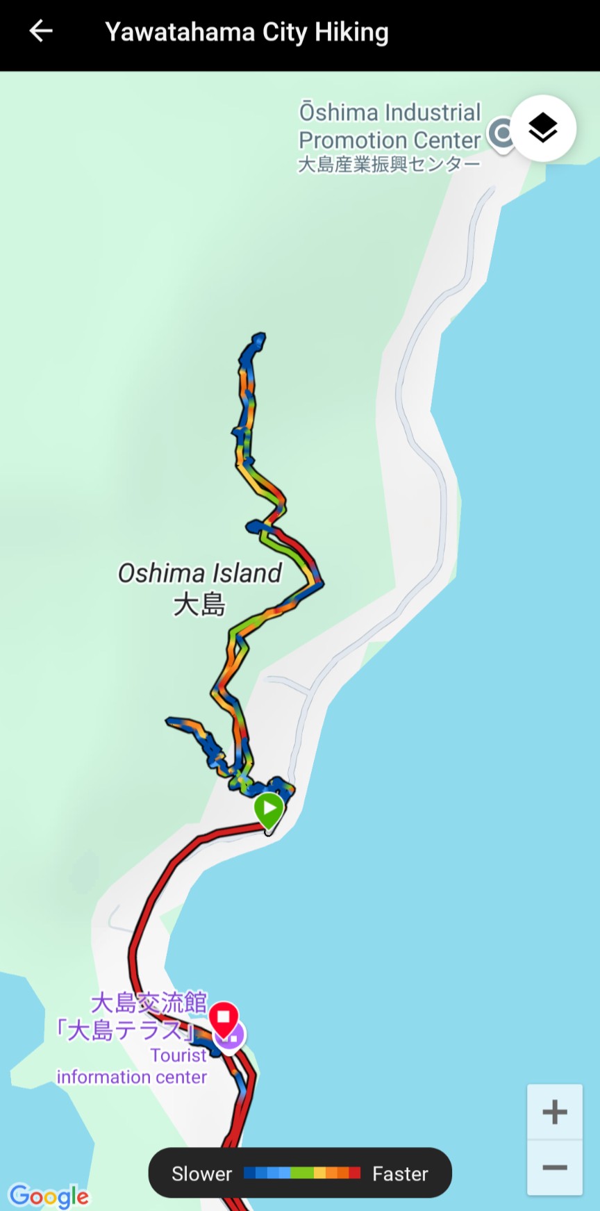
GPS-track of the actual parh
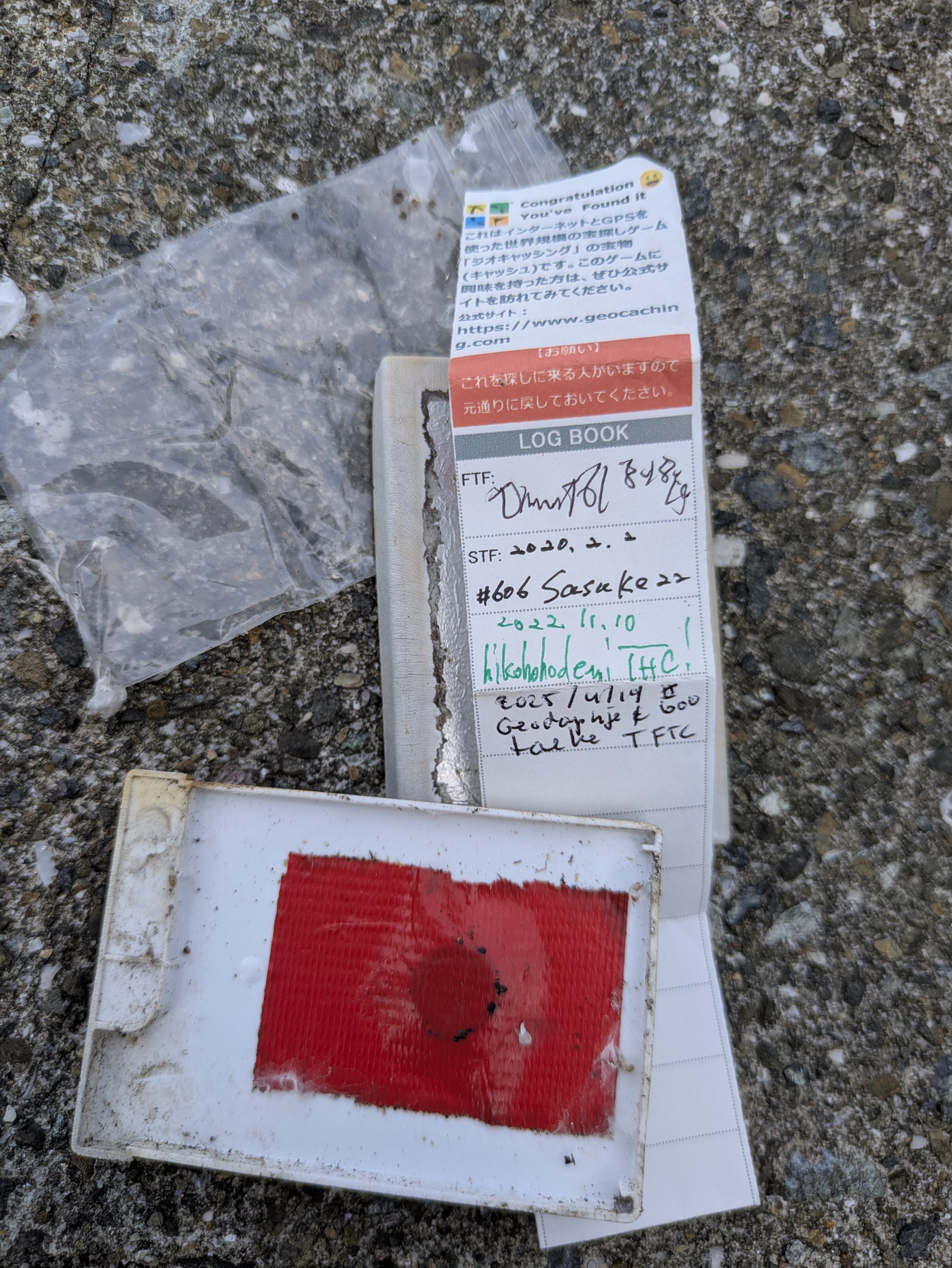
As a consolation we found our 600th geaocache on the adjacent Jio Island.
73, Martin JL1EVF/5 (PE1EEC)