I had the time today to fit in one final day of SOTA activating for the year, and decided to have a go at activating G/SE-010 & G/SE-011 by public transport. I’ve wanted to try a SOTA trip without using the car for a while, and I pinched the idea for this trip from reading a report from Hamzah, @2E0HXS sometime ago.
UK readers will know that train travel can be a bit unpredictable at the moment with the current strikes and reduced timetables operating at other times. However, it seemed as though there would enough trains running today to go for it!
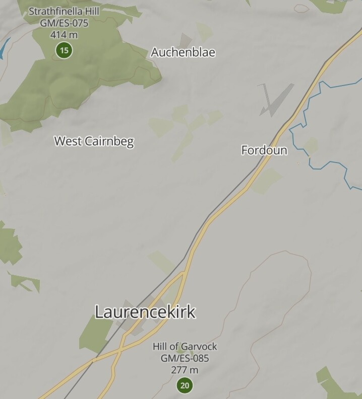
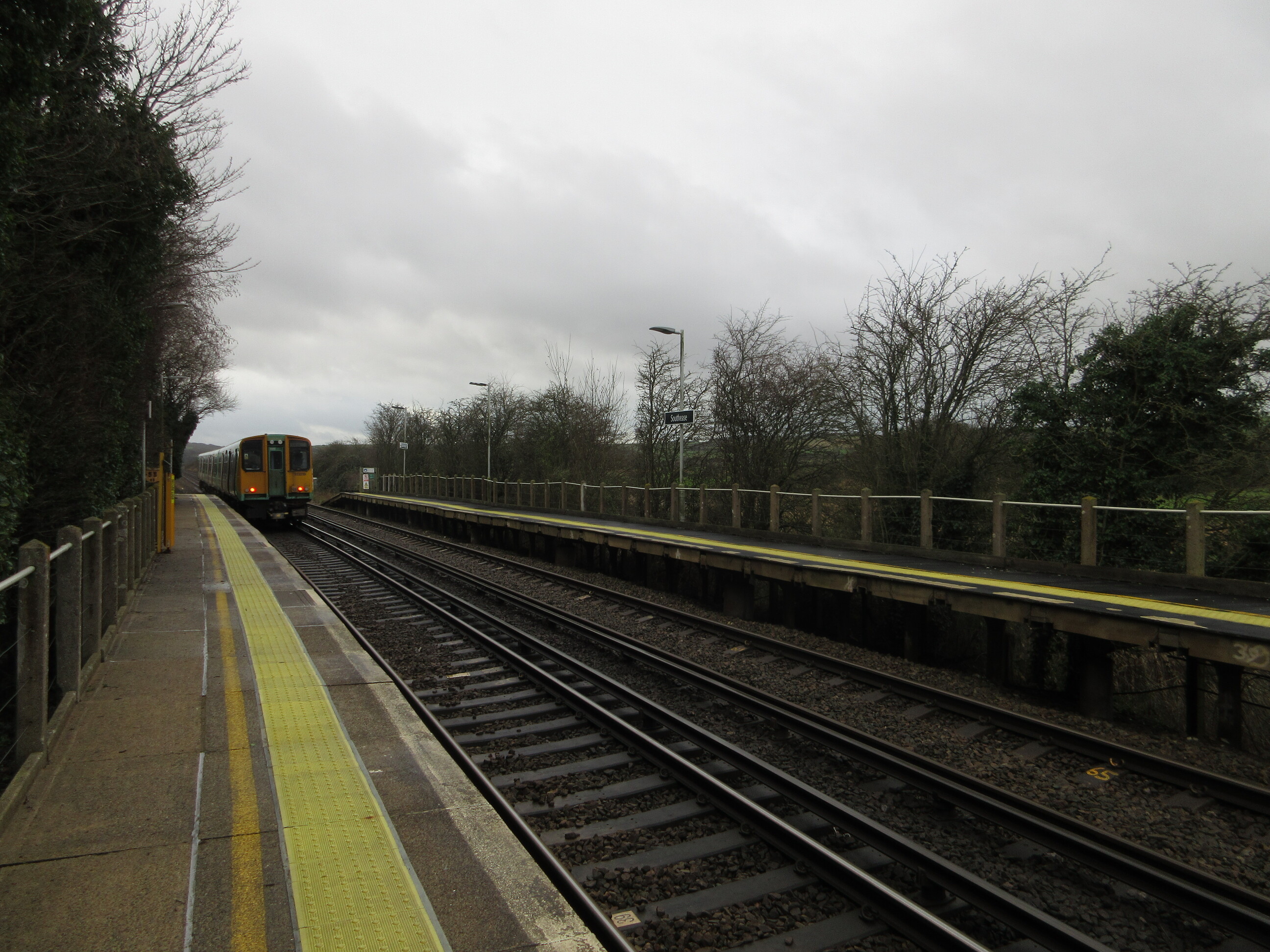
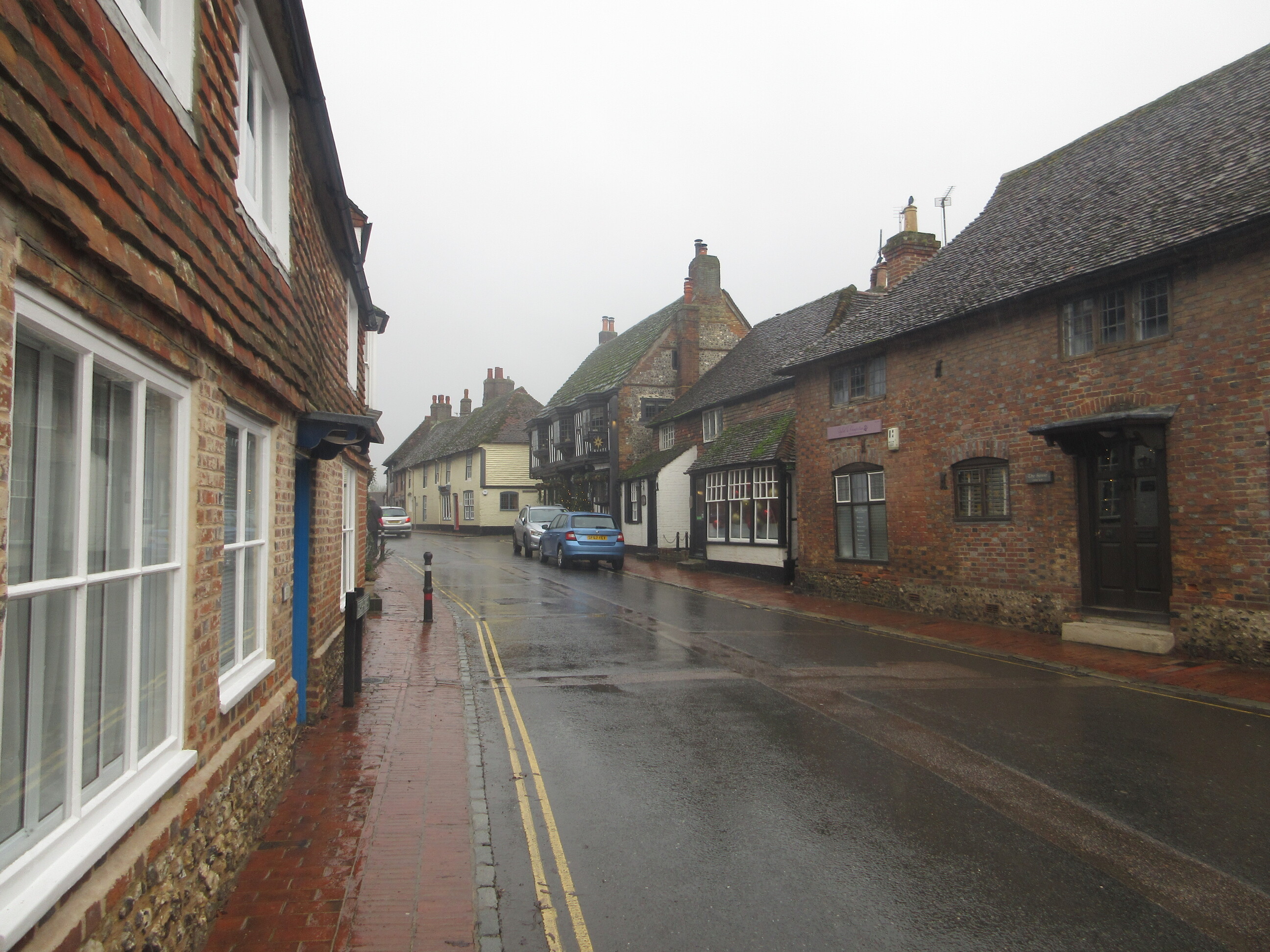
The nearest station for Firle Beacon, G/SE-010 is Southease, and it took about 2 hours to get there by train from my home QTH of Woking.
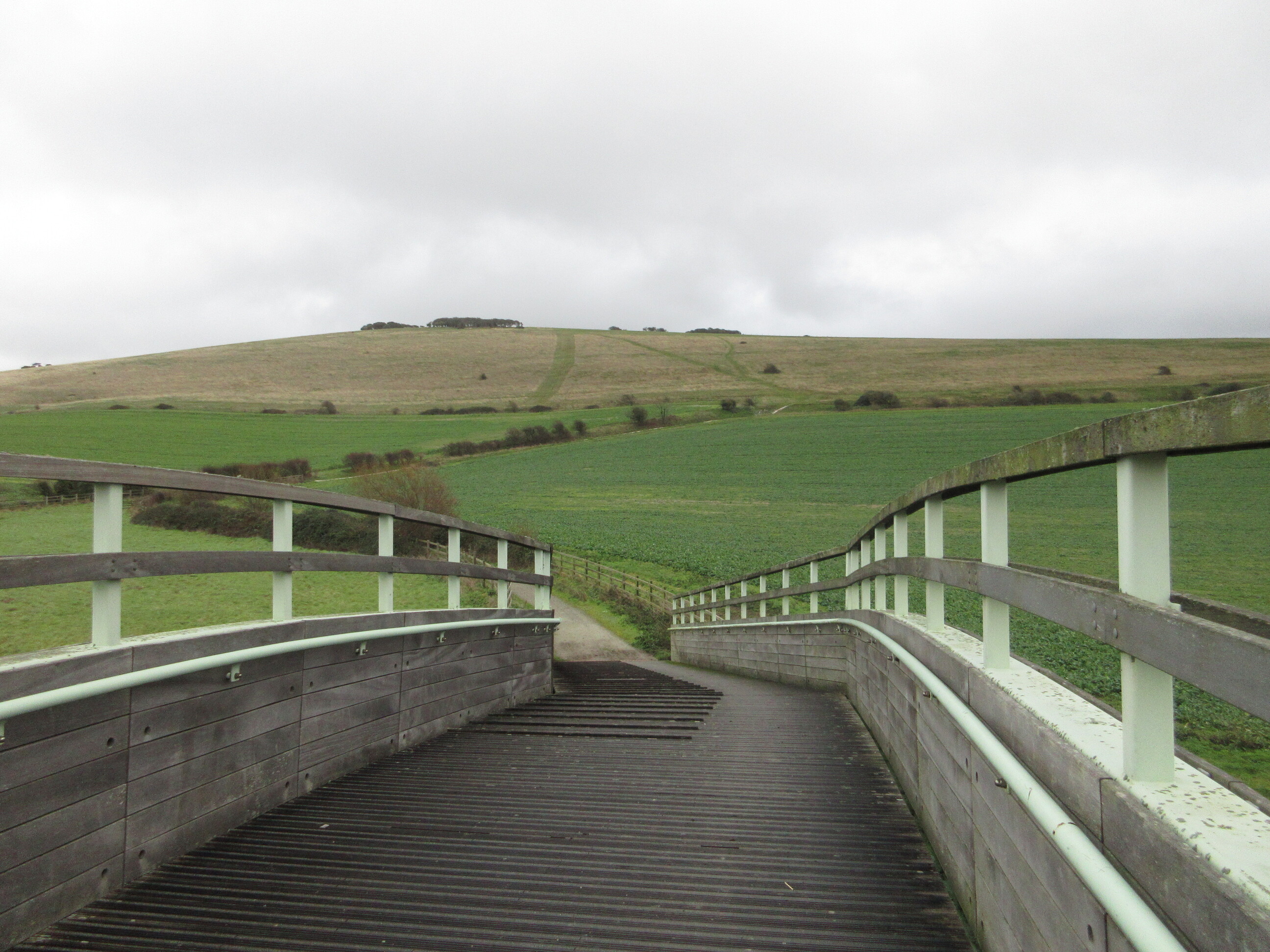
The path for the South Downs Way is clearly signposted from the station, and the walk to Firle Beacon took around 1 hour and 20 mins. Most of the walking is fairly easy, and even the initial climb onto the downs didn’t seem too taxing. Perhaps I’ve been toughened up by my recent trips to GW land!
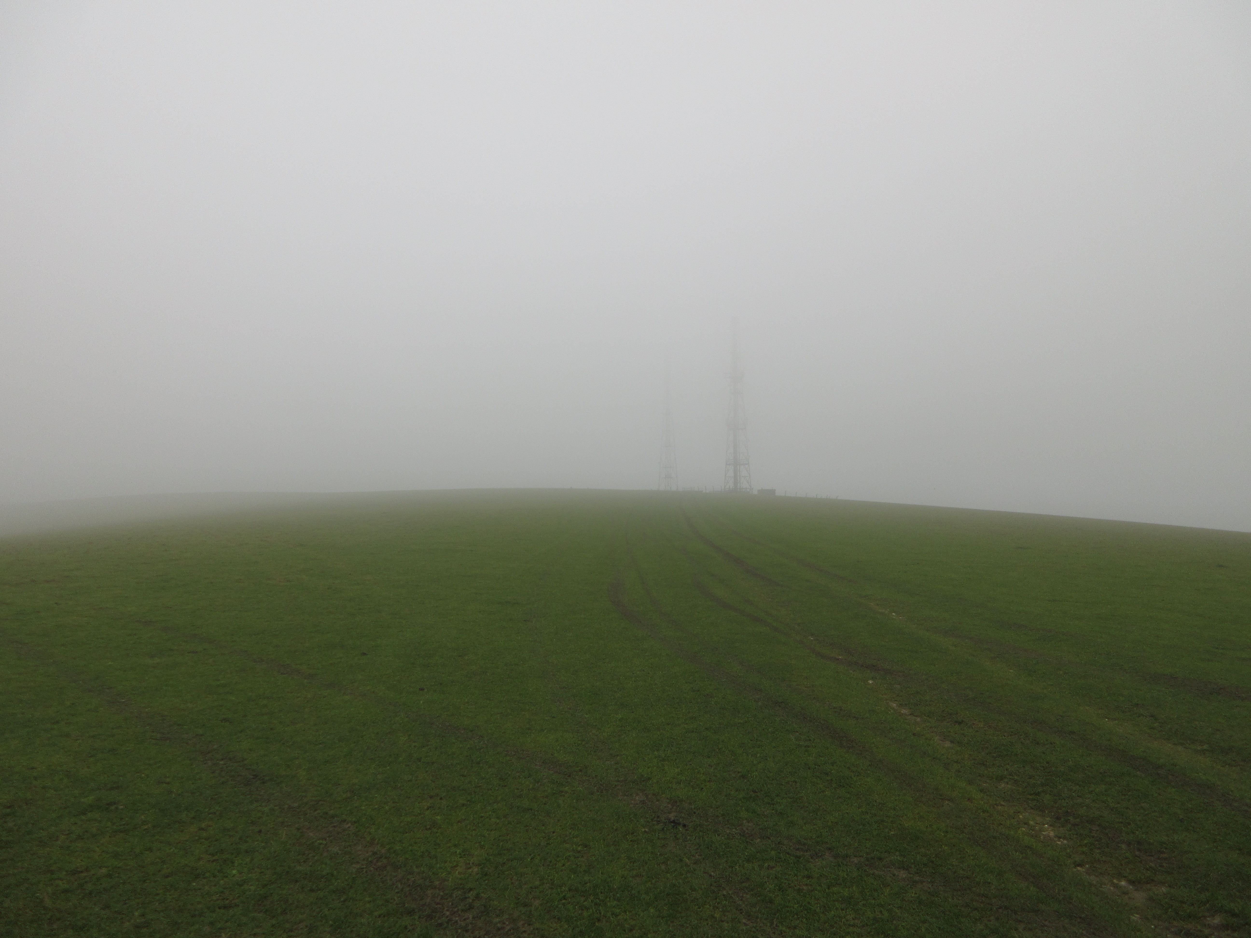
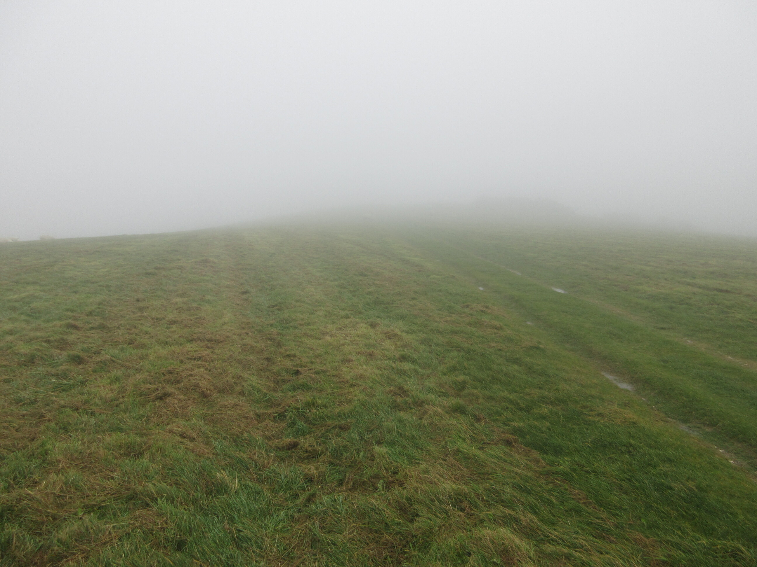
As you can see from the last photo, the weather deteriorated somewhat on my walk. I had expected the weather to be clearing up during the morning, but unfortunately the reverse seemed to be true. I got caught in a couple of heavy rain showers on my walk, and by the time I arrived at the summit, the wind had really picked up and the rain was continuous. Anyway, I’d made it to Firle Beacon, so time for some radio! I had brought along the Yaesu 817 and the Super Antenna MP1 for a fairly quick and easy setup.

I put a call out on 30m CW and managed 11 quick-fire contacts. In an effort to keep the radio as dry as possible, I had covered it with as many bags as I could. However, this did cause a problem as I had the CW sidetone volume set quite low on the rig (and forgot that you have to adjust this separately to the main volume setting), so really struggled to hear what I was sending! I was having to guess quite a bit and imagine the speed of the dits and dahs in my head! I’m sure the results weren’t pretty, so thanks to all of the patient chasers out there!
11 contacts on 30m was more than enough with the revolting weather, so it was time to pack-up and begin the walk to G/SE-011, Wilmington Hill.
For a brief moment the cloud and mist cleared a little, and I started to get my hopes up that the weather was improving. My optimism was misplaced, however, and most of the walk was undertaken in constant rain with very little in the way of views. To be honest it did a get a little bit dispiriting at times, and I did wonder exactly what the hell I was doing out on the hills on such a miserable day!
The walk from Firle Beacon to Wilmington Hill took around 1 hour and 45 minutes. As I said, it was pretty unremarkable due to the lack of views and constant rain, but it would be different on a sunnier day of course. The only relief I got from the misty views was passing through the pretty village of Alfriston.
The prospects on the final approach to G/SE-011 didn’t look too promising! I knew it was there somewhere…
Thankfully though, just as I was really starting to lose heart, the rain finally stopped just as I was arriving at the summit! Thank goodness! It was still fairly windy, but at least I wouldn’t have to worry about trying to keep everything dry this time. It was the same setup and band as before, and I managed 12 fairly rapid QSOs on 30m CW. This time I could actually hear the CW I was sending!
I was starting to get a bit cold by now, so decided to pack up without trying any other bands and continue on my walk to Polegate which is where I was going to get the train from for my return leg.
The rain came and went several times, the paths were pretty muddy (not really a surprise for this time of year), but from time to time the clouds parted to reveal the landscape.


The walk to Polegate took me through Folkington and Wannock, and thankfully I only had to wait 2 minutes for a train to begin my journey home. Where, dear reader, I am now enjoying a nice glass of wine as I type this report.
What to make of today? I did find it tough going due to the weather. I probably would have saved this trip for another day if I’d known it was going to be so dismal. But of course detailed study of weather apps in advance is no guarantee of success!  I’m glad I didn’t give up and it did make a nice change to leave the car at home and let the train take the strain for once. This would make a nice pair of activations for someone wishing to use public transport or who doesn’t drive but also wants to get a decent amount of walking in. Perhaps just pick a day with better weather!
As ever, I hugely appreciated all of the QSOs. Thank you so much for all the time you spend in your shacks listening out for us activators. On a day like today it’s appreciated even more.
As I said at the start of this report, this was my last activation of 2022, so I would like to thank all of the chasers and fellow activators for all of the contacts during the year. I’ve also enjoyed spending time on the reflector between activations to see what others are up to and get inspired for future adventures! Finally, thanks to all of the MT and others who toil away behind the scenes for the benefit of all of us.
Wishing everyone a very happy and peaceful Christmas, and looking forward to catching lots of you on the air in 2023.
73 - Matthew, M0JSB