GW/SW-042, Mynydd y Grug

Mynydd y Grug is Wales’ latest SOTA summit. Robert @M0RWX activated the summit shortly after midnight on 2nd March 2026, SOTAs 24th birthday. Due to a misunderstanding in the communication Robert found himself alone on the summit, after initial discussions of a mass activation. The local chasers had the summit activated before he managed to put out a CQ call which hopefully made him feel more welcome. A great achievement and well deserved first for Robert.

Mynydd y Grug translates to English as “Heather Mountain” and is pronounced: Myn-: sounds like “Mun” (rhymes with sun), ydd: sounds like “ith”, y sounds like “uh” (unstressed). Grug: sounds like “Greeg” (hard G, long ‘ee’, hard G).

South Wales is my home; the people are my people. I am proud of these hills, the people, and our industrial heritage.

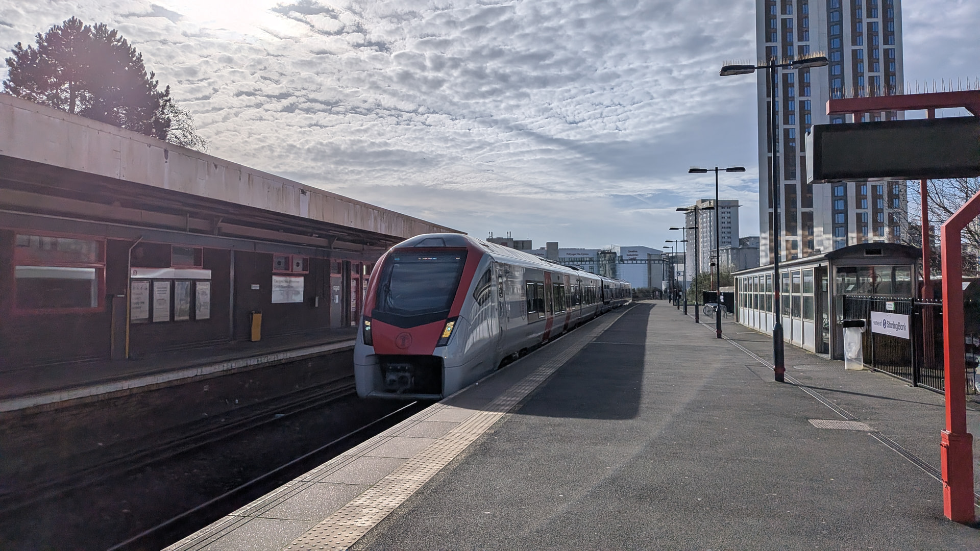
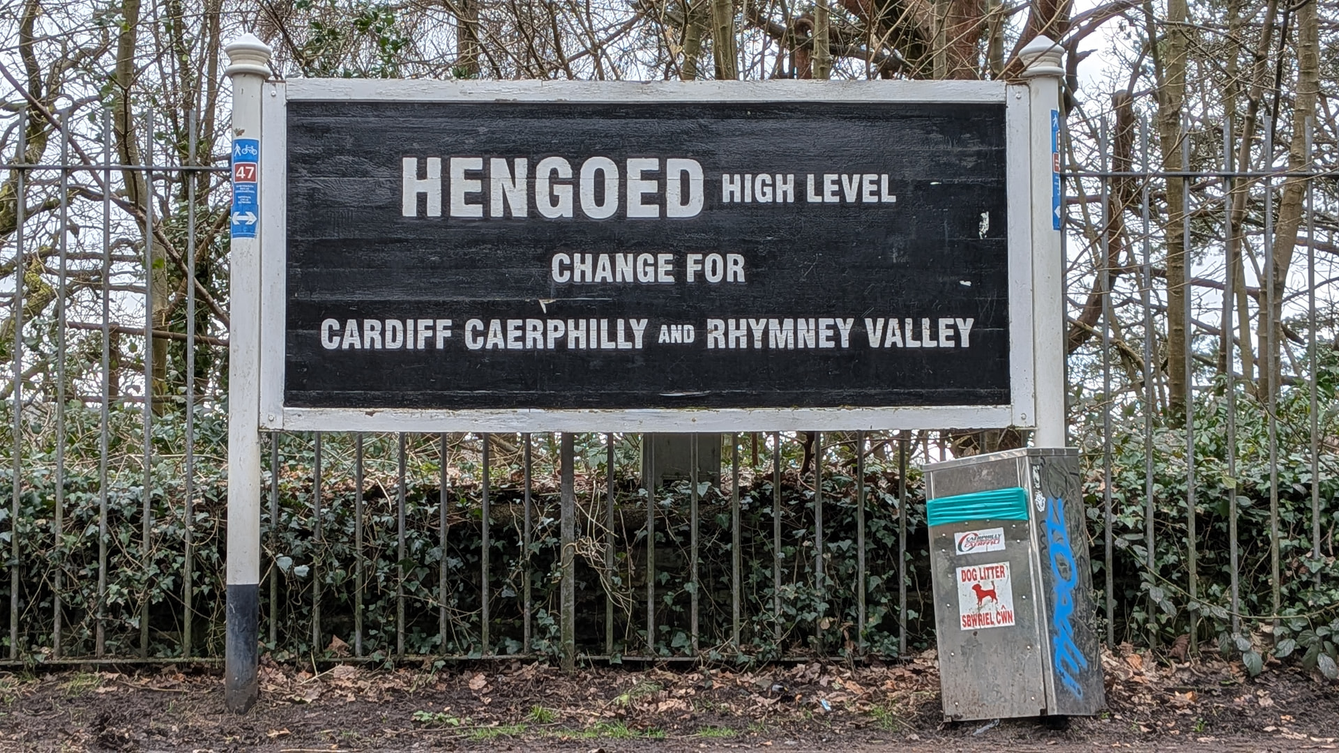
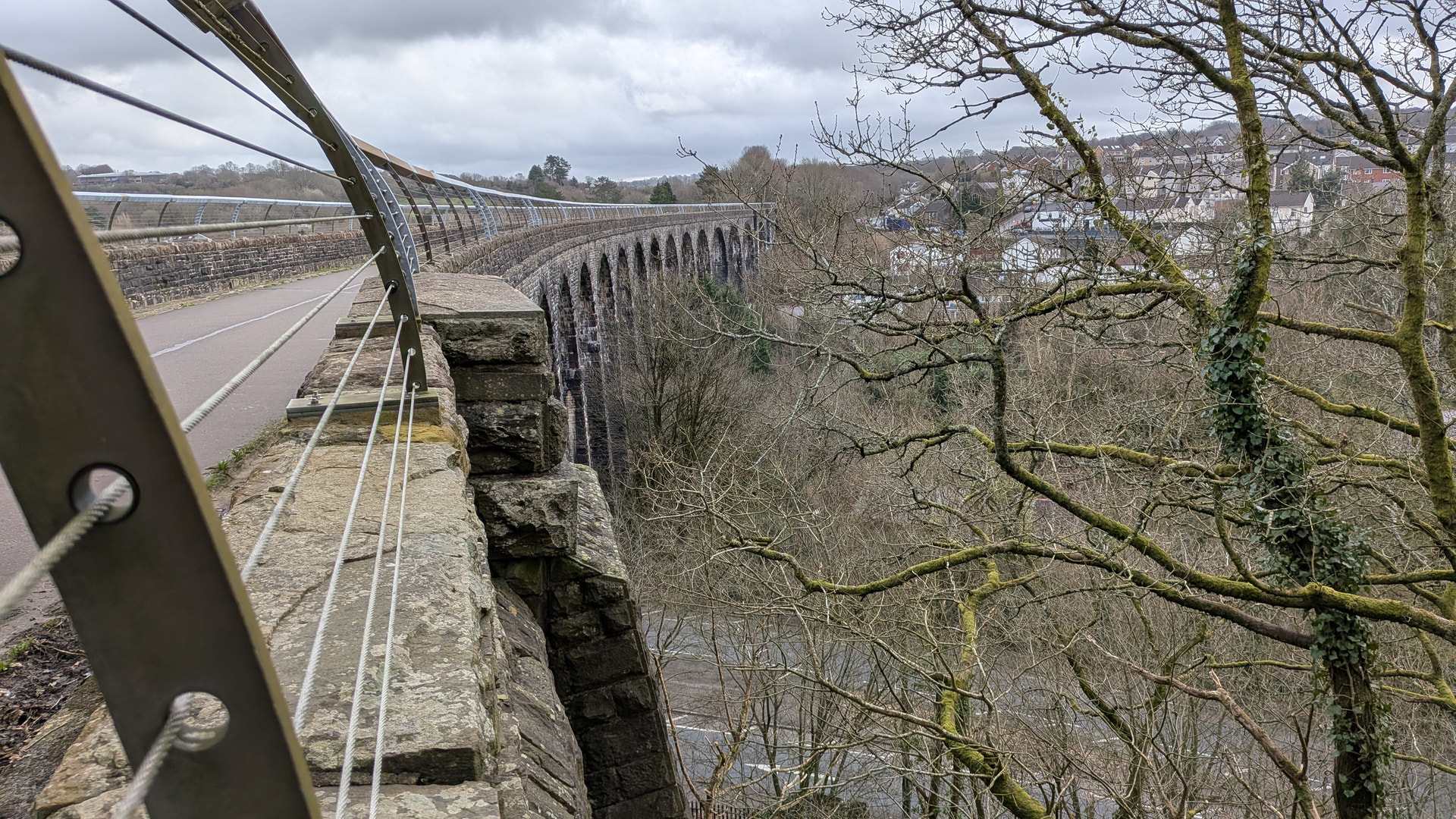
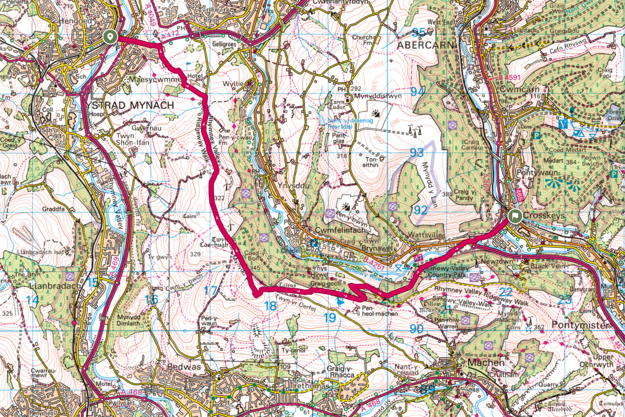
One of the legacies of our industrial past is a fantastic rail network serving the South Wales Valleys. I took the Rhymney Valley line to Hengoed which passes Caerphilly Castle and provides views of a large section of the route.


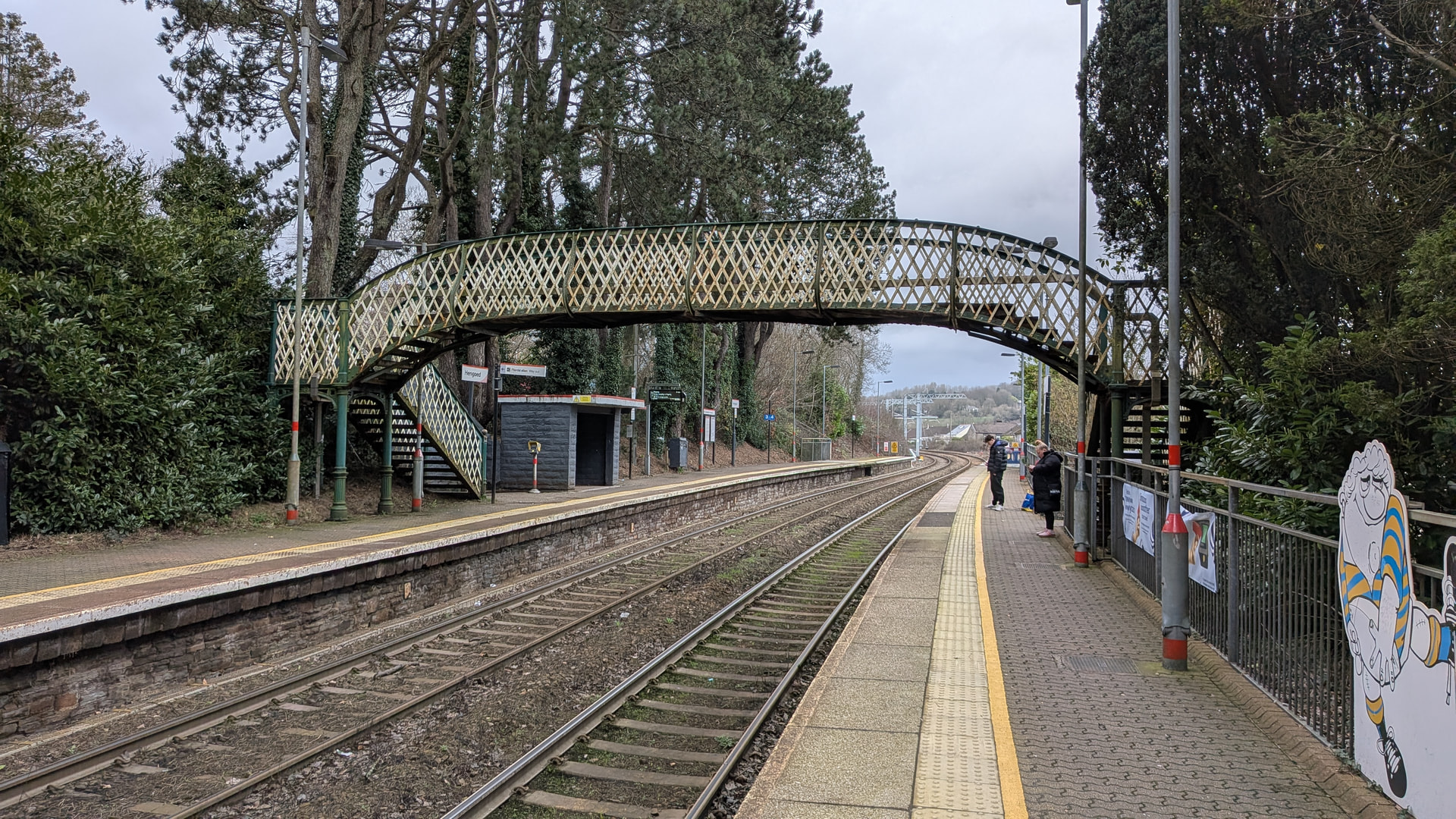
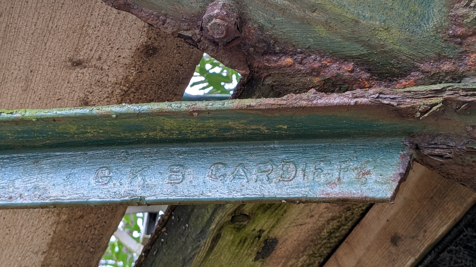
My walk started with a rather splendid riveted, lattice section bridge, with a hot rolled section proudly bearing the name GKB Cardiff. I moved to Cardiff and started at the GKN South Wales apprentice workshops in 1984, going on to work in the 16 inch medium section mill on the site where this steel was produced.

The track bed of a disused railway line takes you from the station, over Hengoed viaduct to Maesycwmmer and the site of Maesycwmmer Junction Colliery.


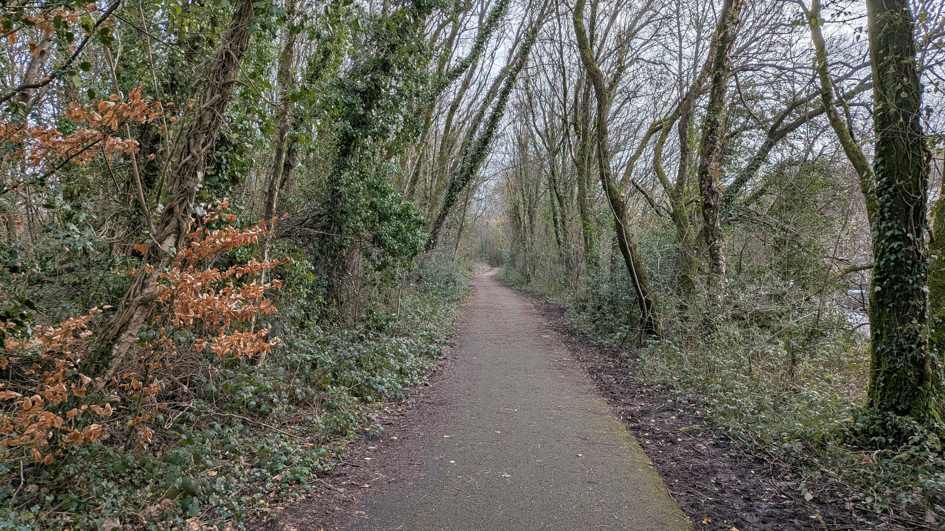
From Maesycwmmer Junction Colliery the path crosses a golf course to the site of Gelli-deg Colliery.

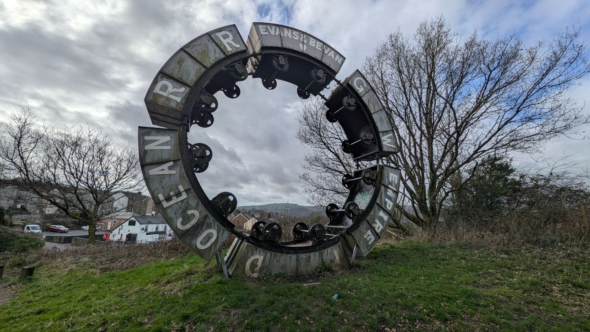
My route took me to the site of 6 collieries, and within a few miles of many more. It is difficult to fully appreciate the extent of coal mining in South Wales. After nationalisation in 1947 there were 246 working collieries in the South Wales Coalfield. The list is quite staggering as is the map.

The South Wales coalfield was considered the most dangerous in the UK with the Welsh Mine Disasters website listing over 6,000 Welsh miners killer at their workplace. Many more died as a result of mining related illnesses.

Just across the valley is the site of Universal colliery where on 14 October 1913. The Senghenydd explosion killed 439 miners and a rescuer. The report makes sobering reading.

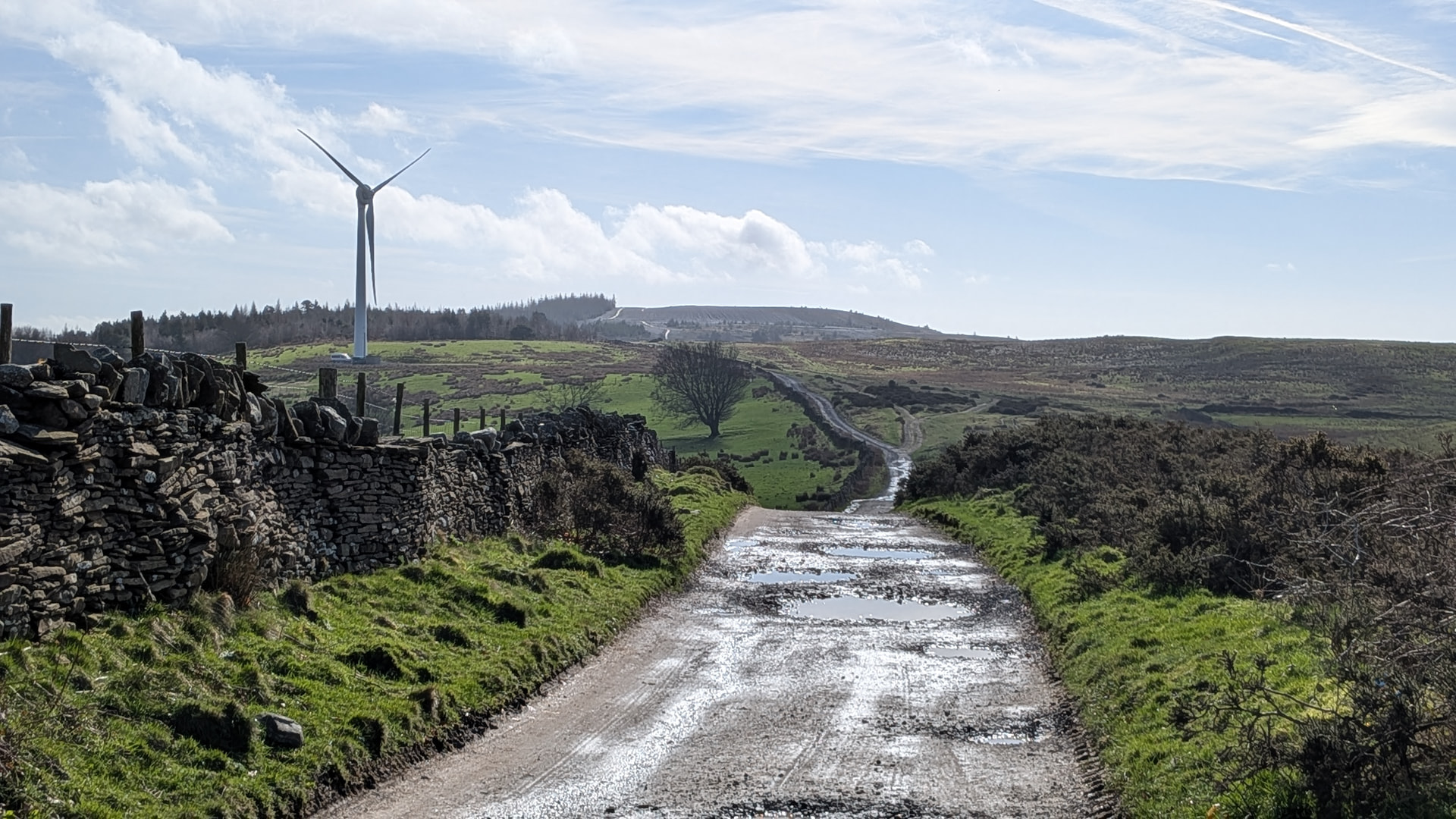
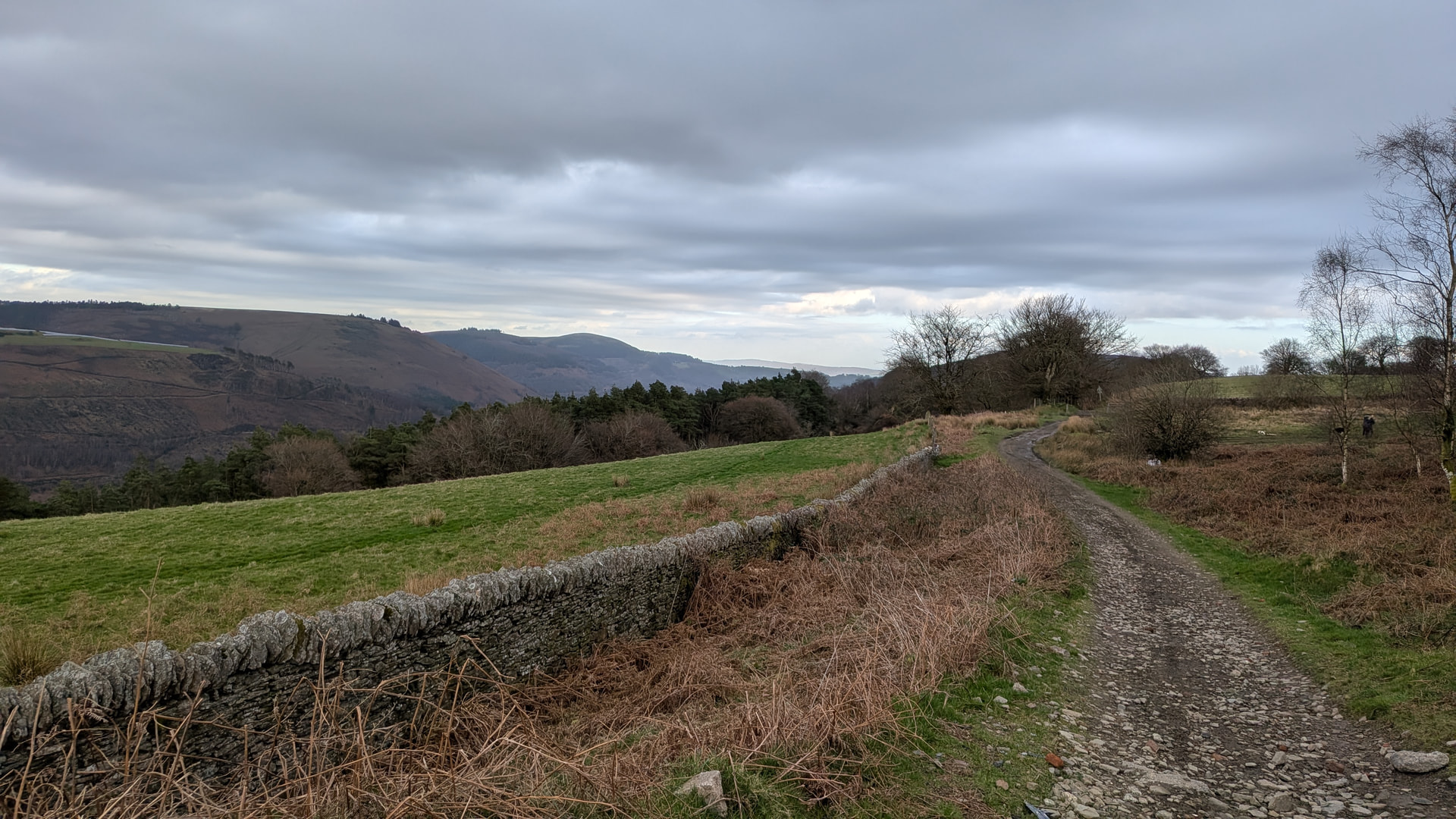
The Rhymney Valley Ridgeway Walk provides a good track from the golf course to the summit passing windmills, an ancient tumulus and enclosure, and a commercial woodland. It is really rather pleasant.

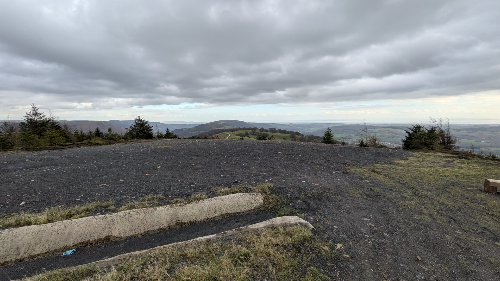
Mynydd y Grug summit is a spoil tip from Bedwas Navigation Colliery. There are controversial plans to rework the tips, extracting coal, and reprofile the tips. In the meantime we are able to access the summit.

The summit is rather barren, but not unpleasant. It offers a seat, plenty of space for antennas, and great views. To the East you can see the second Severn Crossing. Newport, Cardiff, Brean Down, Flat Holm and Steep Holm islands, Penarth head, and Aberthaw power station are all clearly visible as you scan along the coast. Turning to the North you can see the summits of Bannau Brycheiniog (The Brecon Beacons).


The Rhymney Valley Ridgeway Walk continues East.

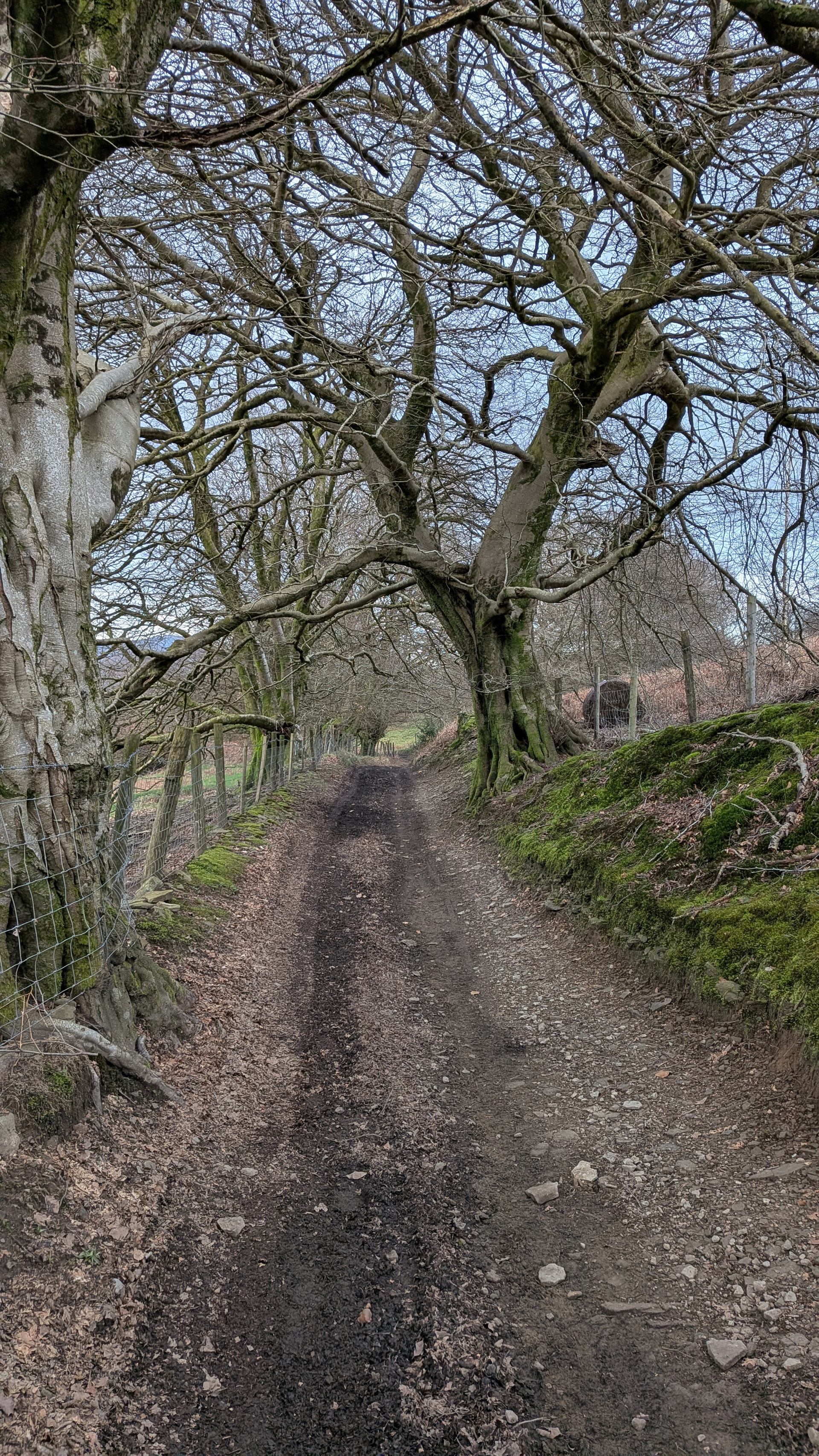
A picturesque path descends through Graig Goch Nature reserve onto a track to the Sirhowy Valley Country Park, with parking on the site of Black Vein Colliery

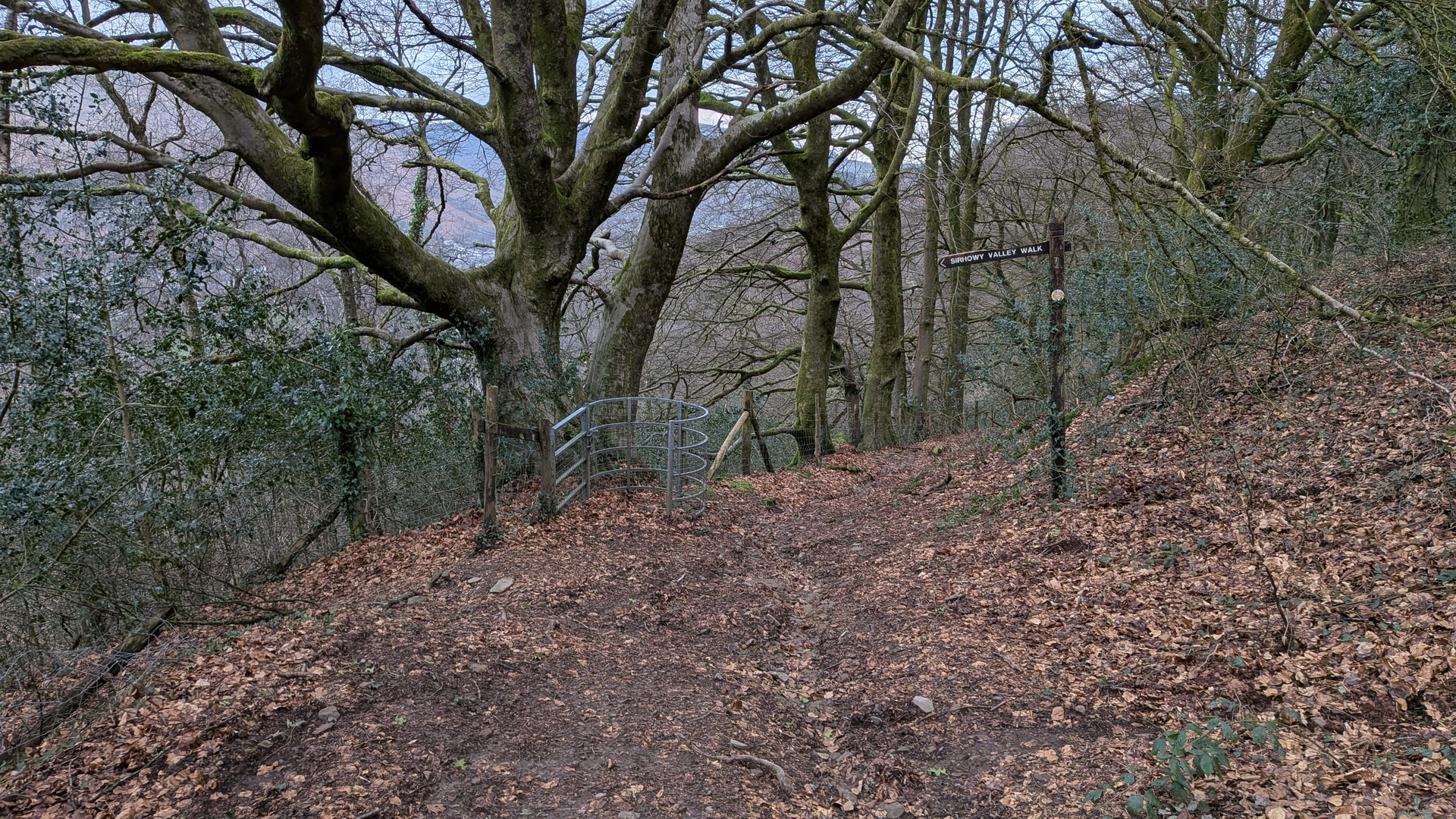
I crossed the track and followed the Sirhowy River under the elevated roads before making my way to Cross Keys station.

Robert has posted routes to the summit from the North and the East with notes. My route followed Robert’s paths, extending them into a linear walk.

Mynydd y Grug may not be everyone’s idea of unspoiled beauty and rustic charm. I rather like our new summit and would encourage you to enjoy it while we still have access.

73, Kevin

23 Likes

Thanks for taking us on your journey Kev. Another masterpiece and thank you for the summit. Well done to Robert @M0RWX for being the first to activate the summit and making me late for bed :rofl:…thanks for the summit Robert. So, 2 chases of the new one means I have to activate for a complete :grinning_face_with_smiling_eyes:.

4 Likes

A fantastic piece of prose Kevin.

Living in North East Wales I also appreciate the history around coal mining and the associated iron and steel works, I have family links to both industries, both of which effectively ended in the 1980s. I live within a mile of two long ago capped pits. It is interesting to see how communities have evolved as industry has changed.

An excellent report.

2 Likes

Many thanks for another of your superb reports Kevin. That route looks absolutely lovely. I really look forward to activating this summit as soon as I am able.

I was truly honoured to be the first into your log. Many thanks for getting in touch with your plans for the day. I’m really pleased that it all worked out okay.

73, Gerald

4 Likes

Thank you for an excellent report, Kevin.

Many of your pictures are bringing back some warm memories of when I lived in Cardiff. I’ll have to get back down to Cardiff soon and activate GW/SW-042.

Congratulations on the activation & 73,

Tom M1TJM

2 Likes

Thanks for another excellent and informative report. It was great to make contact with you yesterday.

Really appreciate this pronunciation guide. Must make notes! I do wince when I’m on a Welsh summit and a chaser asks me for the name of it! I can hear the laughter from local ops when they hear my attempt. :laughing::laughing::laughing:

4 Likes

I just wish that I had pronounced it like that yesterday Matthew :rofl:

3 Likes
5 Likes

Perfect!

1 Like

I activated this summit on Sunday, it was wet and windy, which is probably normal for a Welsh summit :wink:

To say I was unimpressed with the summit would be an understatement. I thought spoil heaps were only supposed to become SOTA summits once they looked natural. This one has a surface that is 98% bare spoil!

I think the MT need to reconsider their strategy for replacing natural summits with re-described spoil and slag heaps.

1 Like

Yes, I agree it’s contentious Colin. While we were up there last week, I kept thinking “Aberfan” and wondered if the ground beneath our feet would start to crumble away at any time.

Regarding adjudication, for the British associations, we have a long-standing policy of being guided by the RHB group, highly regarded as surveyors so much so that the OS accepts its findings when updating mapping. If RHB says it’s a P150 hill, it’s in. If they say it isn’t, it’s out.

6 Likes

This sounds worse than Hensbarrow Downs G/DC-008, but I’m sure given time nature will take back the landscape. I don’t think my walking trousers have been the same since they got covered in China clay on that one. Hopefully it is already much improved.

4 Likes

I think that one was actually landscaped. I did it a couple of years ago and it was quite nice!

2 Likes

The important word there is guided.

Can the MT (or perhaps the association manager) please use the RHB group data as a heads up that things have changed as far as the MAP is concerned and use their own judgement as to it’s suitability for SOTA.

I’d go as far as to say that GW/SW-042 is dangerous to climb.

1 Like

Which way did you go? I found it steep but not difficult, but may be different if it was raining.

1 Like

No. Having an independent, qualified and highly-regarded third party arbiter is incredibly valuable. (And always has been right back to the launch of SOTA over 24 years ago).

6 Likes

For different reasons, but I’d guess around 60% of ZL3 SOTA summits are dangerous to climb. And 50% of the rest inaccessible to most people due to being on private land.

Accessibility will vary around the globe and would be a very subjective and multi-faceted thing to use to assess summit eligability.

4 Likes