This is the route climbers have used for decades to access the wonderful quarried sandstone crag of Dyffryn Woods. I realise there are lots of routes for this summit now, but IMHO this has parking, a nice short walk through a lovely wood with wildlife, open access, and retains the good views the western approach offers.
Parking for 5 or so cars is free at the bottom of the Woodland Trust land SS 7373 9992. If travelling from Longford Road/Neath Abbey you’ll pass the Glyn Clydach which has a cafe/restaurant. Follow the road past St. Matthews Church then careful negotiate a 90deg left to a small lane, parking on right in a fenced area off the lane.
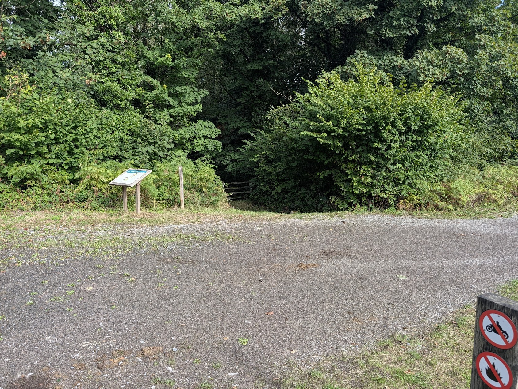
The walk starts 50m to the right of the car park, up a wide track “ride”, a very pleasant gentle rise up through a mixed species wood.
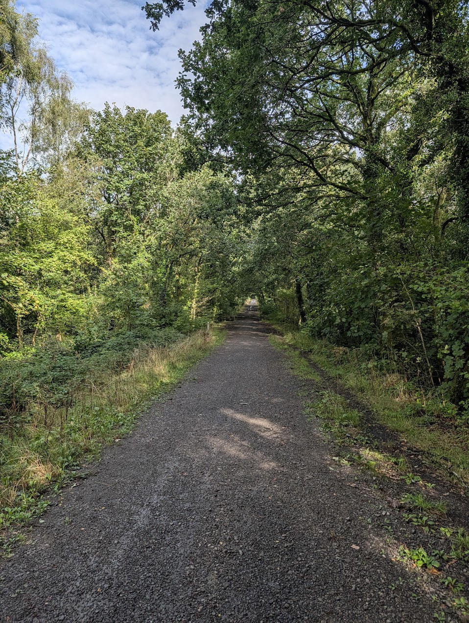
After winding your way to the top of the track past and around Dyffryn Farm (all open access) the track switches back uphill past the quarry.
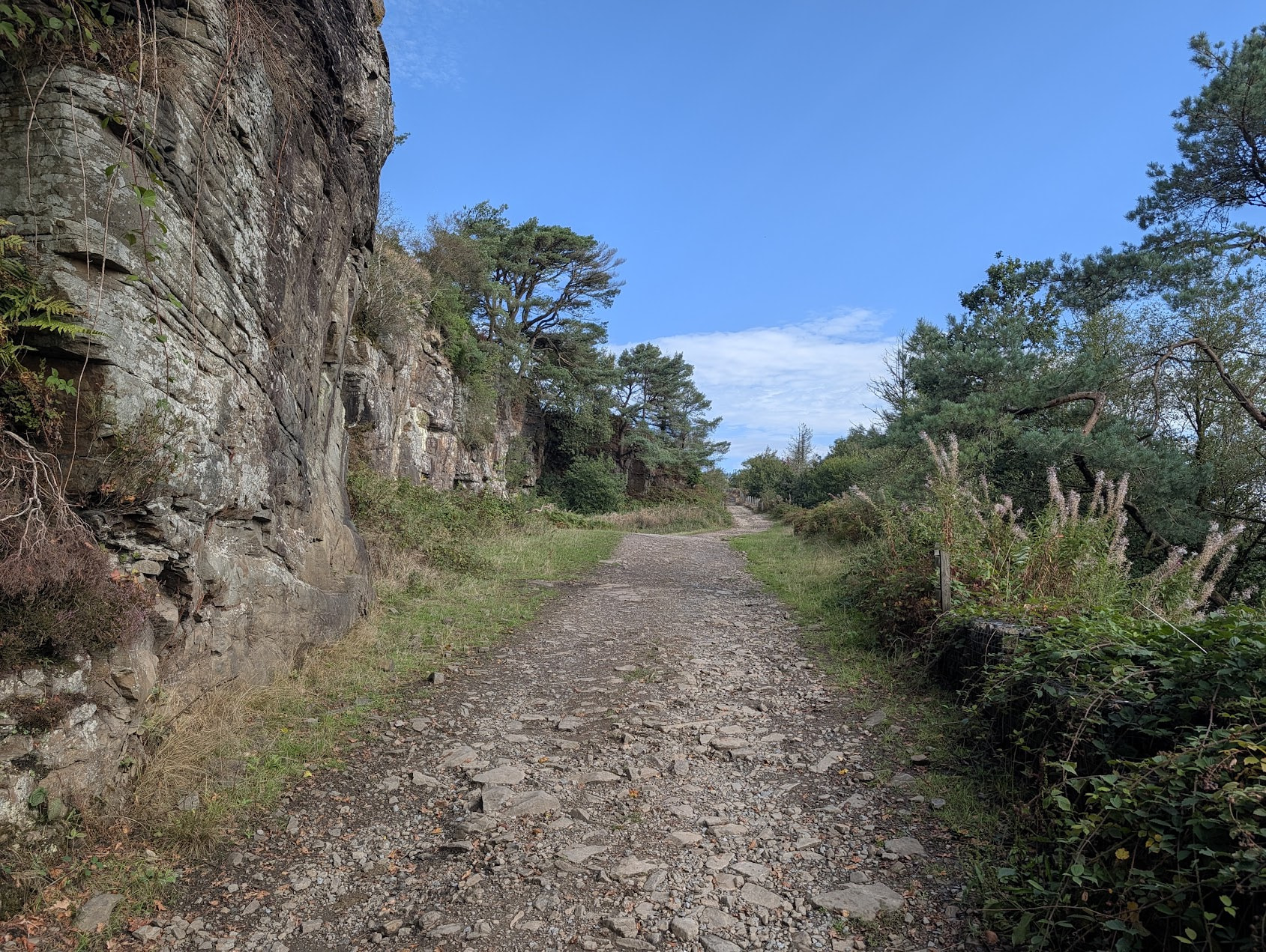
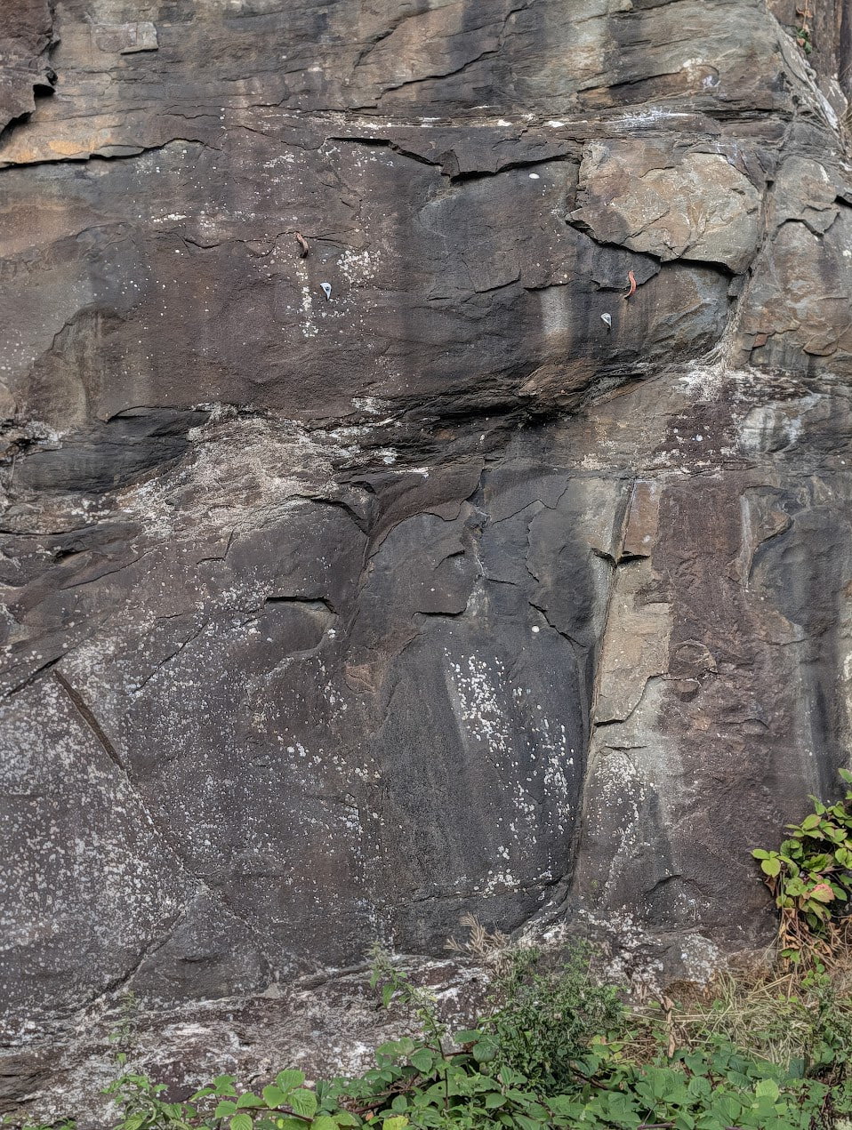
Entertain yourselves with the route names - see the SWCW wiki entry and observe the El Chorro rail clamps kept for posterity next to more modern bolt and hangers on “Rotters Club” and “Bad Bad Boy”.
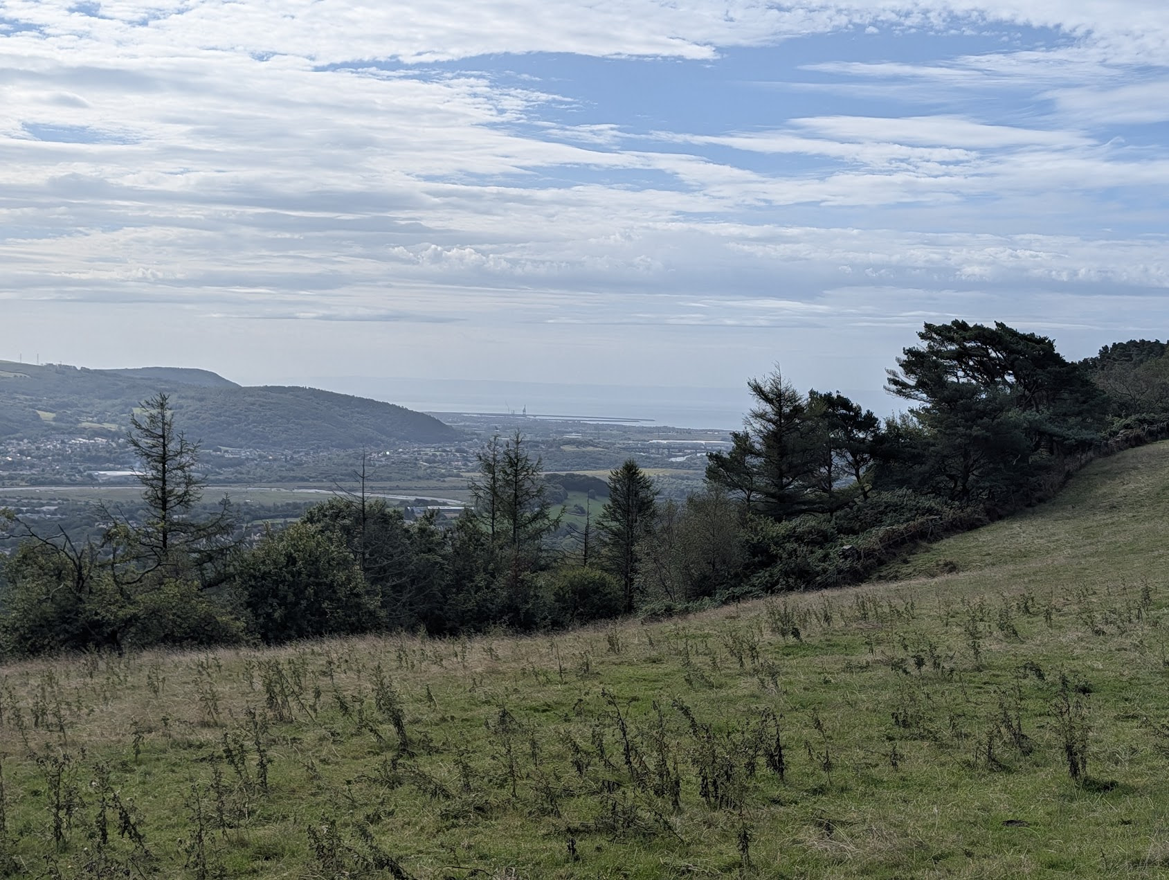
Keep going (or bring a partner and a rope for a spot of sport!) past the quarry then hook left on the footpath to contour towards the sea. Excellent views of Afon Nedd Estuary and Baglan Bay come into sight. Side note, plenty of other sport crags within spitting distance of this area, see wiki entry above.
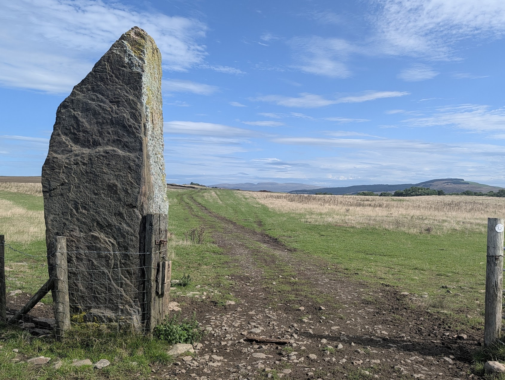
Keeping to the footpath you are already in the AZ, but I continued on towards the Carreg Bica standing stone, an ancient meynhirion thought to be a boundary stone, with mythic movement abilities. Geograph
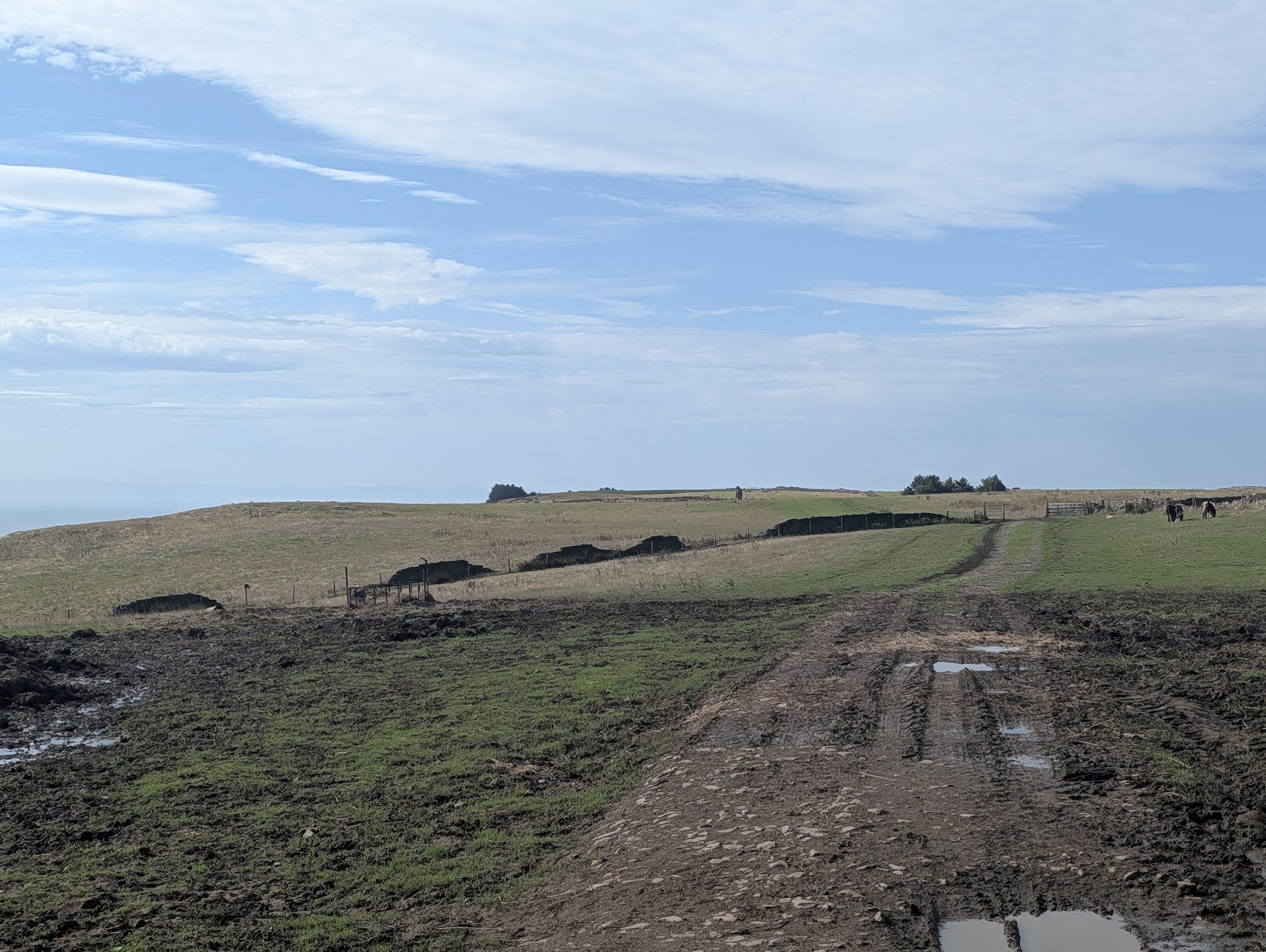
I setup my station just to the right of the photo below keeping close to the path as this part is not open access. 2m was not great, just one local, there was a contest on 2m and 40m, so I went straight to 20m and quickly made s2s into Italy, followed by a few more European stations, another s2s in Spain, and a final s2s with Gerald (MW0WML) on DM/BW-041 which I was most pleased with!
The only slight downside was the chap 150 yards downhill from me who was practicing his .22 rifle marksmanship into a target on the same dry wall that I was next to. I don’t think I was in any real danger, but it was slightly offputting hearing a crack and whistle every so often..

