Good weather forecast, day booked off work. I’d wanted to activate GW/NW-002 on 23cm after one chaser not being able to hear me from GW/NW-004 on a previous activation due to the big lump of rock in the way 
Planned route was up to Ffynnon Llugwy, up to Bwlch Eryl Farchog then up to the summit, decending along the top of Craig Llugwy back to the reservoir.
I parked in the Ogwen Valley about 0830, surprised how quiet it was. I got a parking space right at the start of the path and set off enjoying the cool morning air.
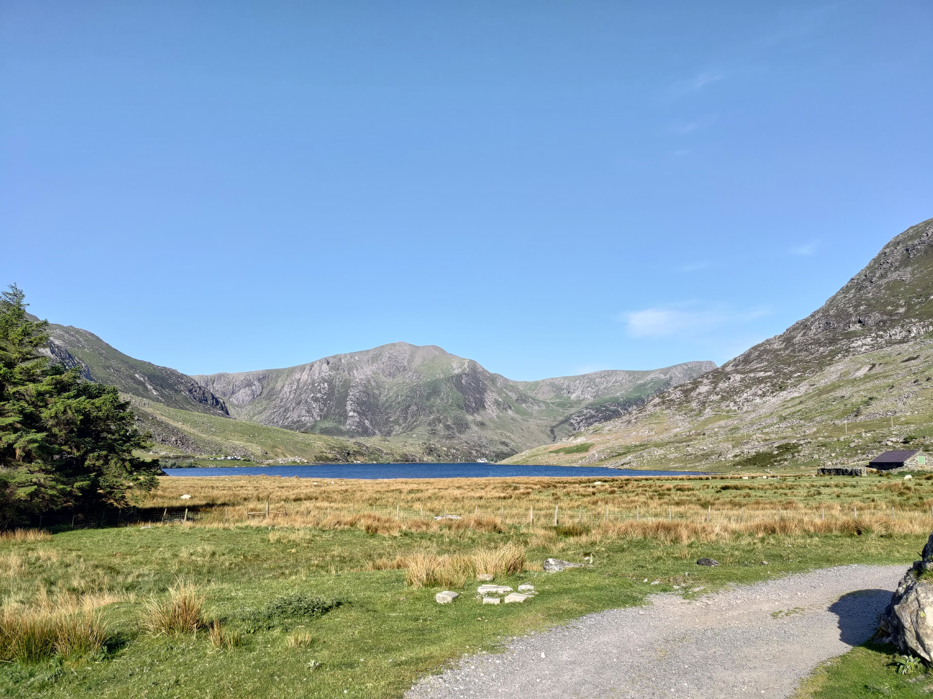
The path quickly became rough with some boggy sections which wasn’t what I was expecting from prior research. I checked the map and realised I’d set off up the wrong path

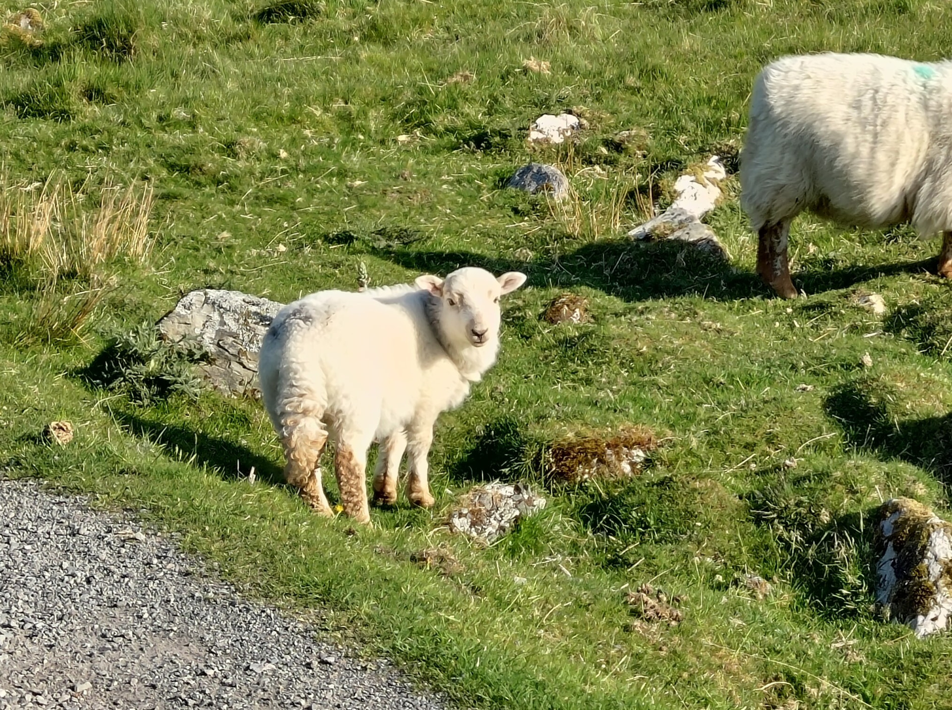
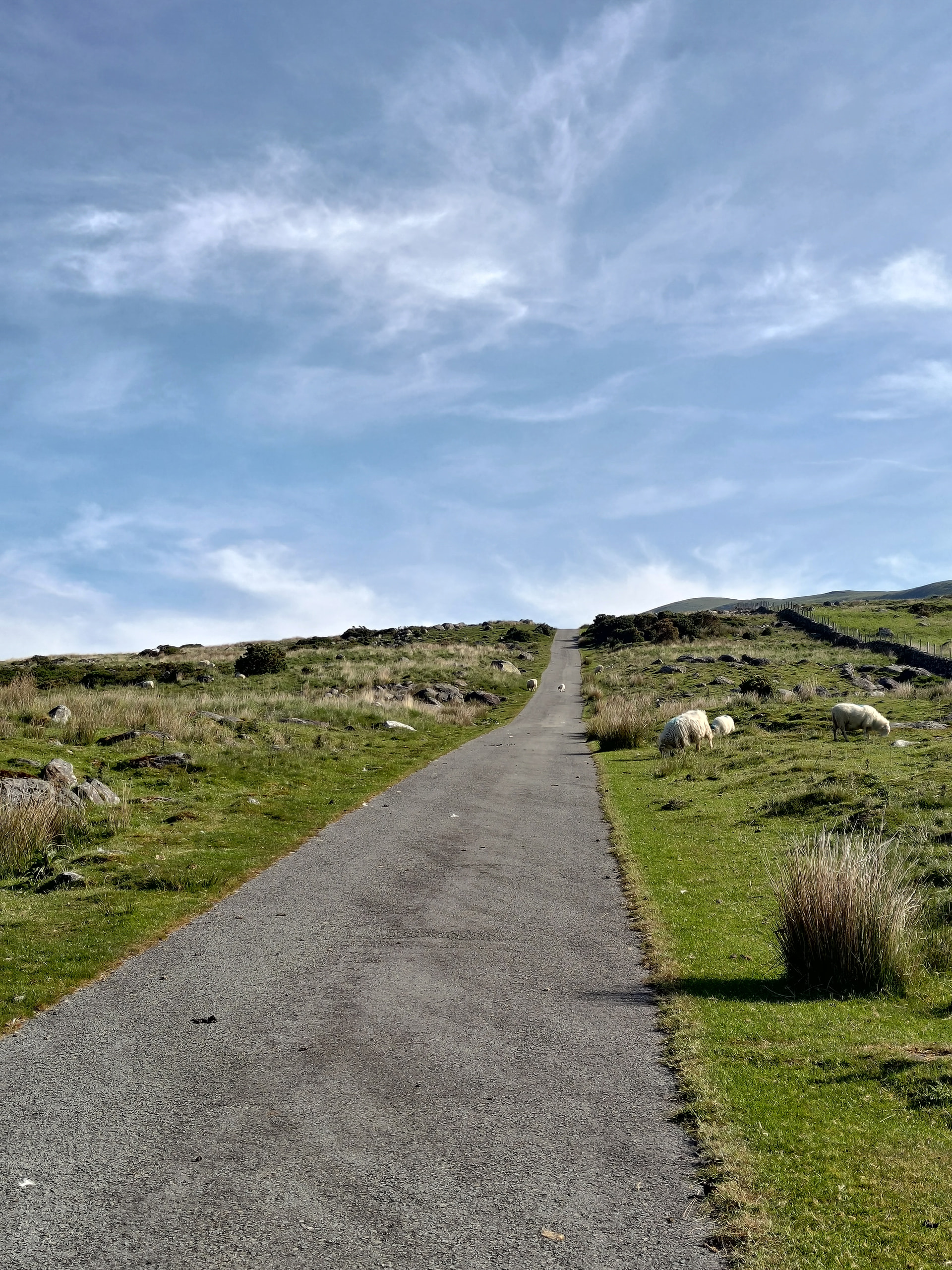
I turned back, moved the car to the other end of the layby and headed down 1.5 miles down the A5 to the actual start of the path. The road up the reservioir was a long steady climb, although by now the temperature was rising rapidly.
Following the path up the side of the ridge, getting steeper and steeper I reached the zig zags and the first of three small slabs to scramble up - reasonably simple and not too exposed.
After a short, steep path I tentatively reached Bwlch Eryl Farchog and started feeling like I’d bitten off more than I could chew with steep drops either side of me and the ridge looking like it was getting narrower and no sign of a path around the crag ahead. Having not seen any other walkers up until this point, and not wanting to get cragfast I decided to abandon the route and headed back down to the reservoir. The rock slabs were (surprisingly) easier to descend than climb, although the zig zag path was difficult in places due to what feels like a sheer drop in front of you when heading down, and the loose surface.
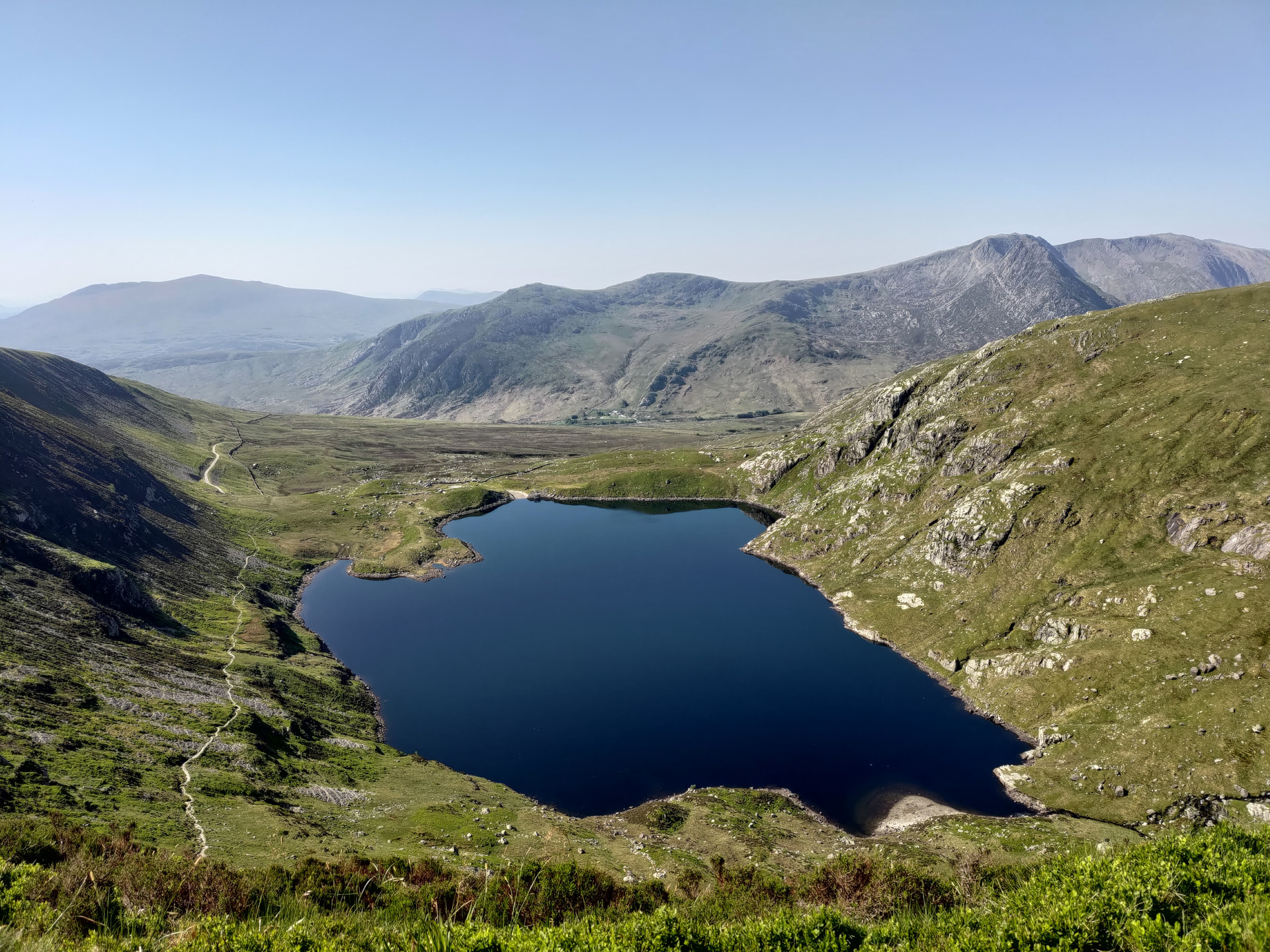
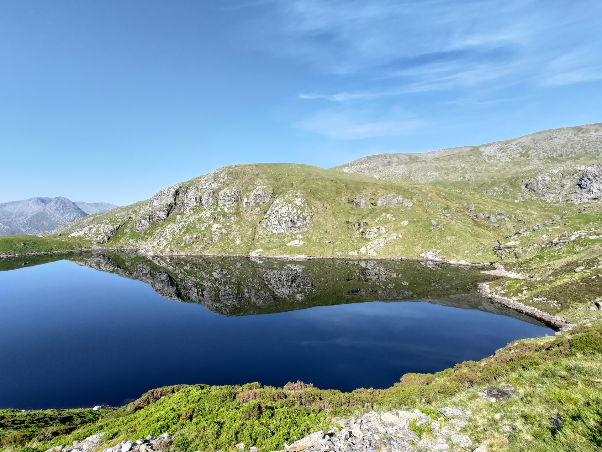
Once back at the reservoir I took stock of how much water I had left and decided to press on as I still has around 75% left and I’d found out on the way I could get a refill at one of the campsites for the last 1.5 miles back to the car.
I headed up my planned descent route up the steep (mostly) grassy ridge to Craig Llugwy, crossing the reservoir spillway via some steps and following whatever sheep tracks I could find.
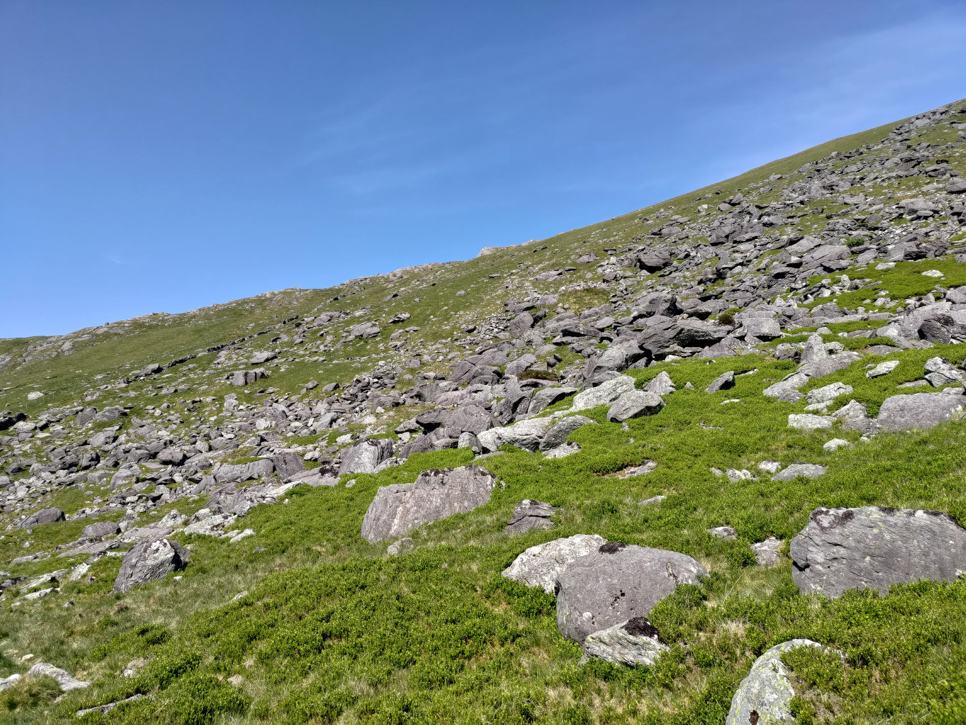
Once reaching the crest of the ridge, I turned left and headed towards Cefn Ysgolion Duon in the distance to pick up the path between Carnedd Dafydd and Carnedd Llewelyn.
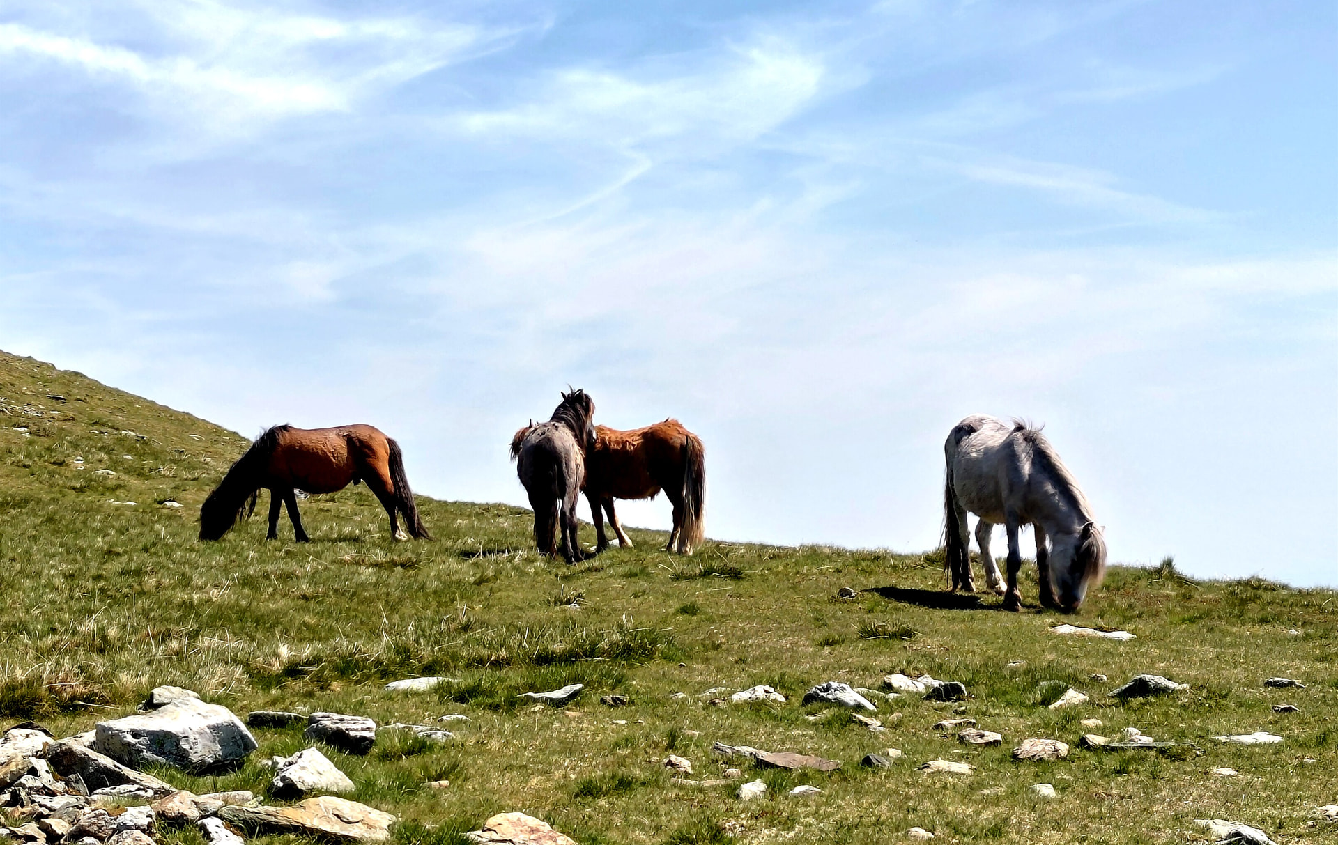
The climb was relentless in the heat and I was glad to reach the main path where there was a good breeze and a slight descent until the final climb to the summit of Llewelyn.
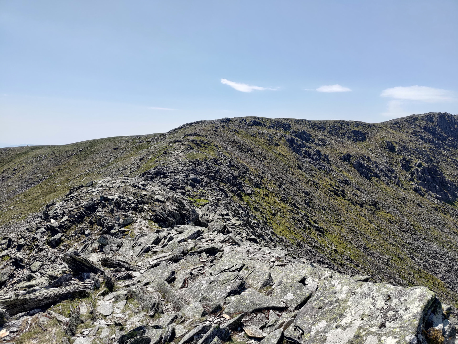
There was no real shade on the summit, not even behind the walls of the stone summit shelter or cairn so I found a comfy rock to sit on in the breeze to try to keep a bit cooler.
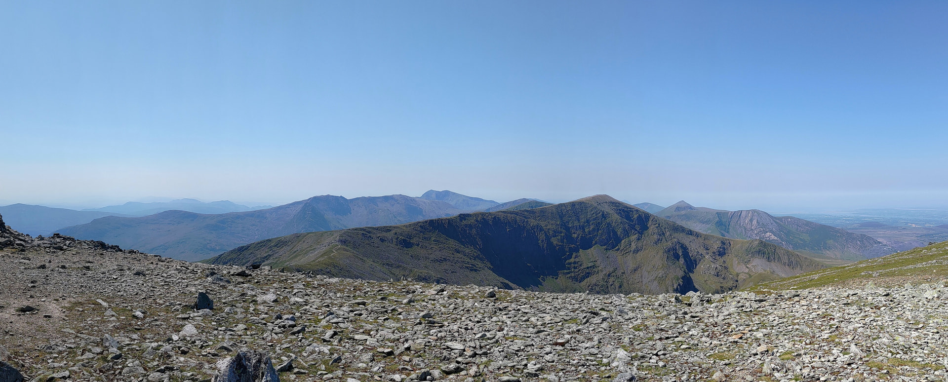
After drying out a little, I applied my 3rd coat of factor 50 and set up the radio gear for what needed to be a quick activation due to the earlier delays and the heat.
I had taken guys and pegs for the 4m travel pole but in the end I just held the pole while operating the radio. A 5 element yagi with 25W on 23cm got me 5 contacts on SSB including a summit to summit with Adrian on G/LD-027 who was only using 2W. Holding the pole made it easy to spin the antenna to ‘peak up’ on the chasers, or even tilt it over for the folks who were vertically polarised 
After no more replies on 23cm, I put my slim Jim up which got me another 8 contacts. I had taken a 6m flowerpot antenna with me in case there was any sporadic E however tuning to 50.313 MHz with my 2m antenna didn’t generate the racket that normally comes with decent Es so I packed up, tried to eat a sandwich but it just seemed to suck the moisture out of my mouth and throat as it was so hot and dry.
I made my way down almost retracing my steps, turning off the main path at the waypoints I had added to my GPS on the way up to make sure I didn’t miss the turning as the ‘path’ is barely visible.
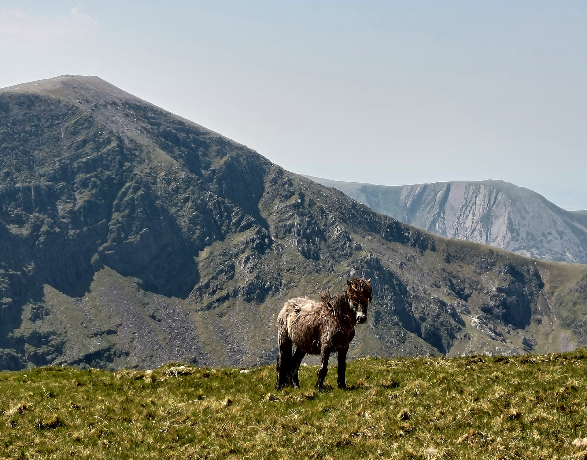
Water was running low at this point and I contemplated fishing some water out of the reservoir or the ‘leat’ and using one of my chlorine tablets, but my GPS estimated that I was only 30 minutes from Gwern Gof Isaf where coffee, cakes and water refills were available so I didn’t bother.
On the way back down to the main road, I passed two walkers who had walked up to the reservoir in jeans and one was even wearing a jacket - it was around 25 degrees!
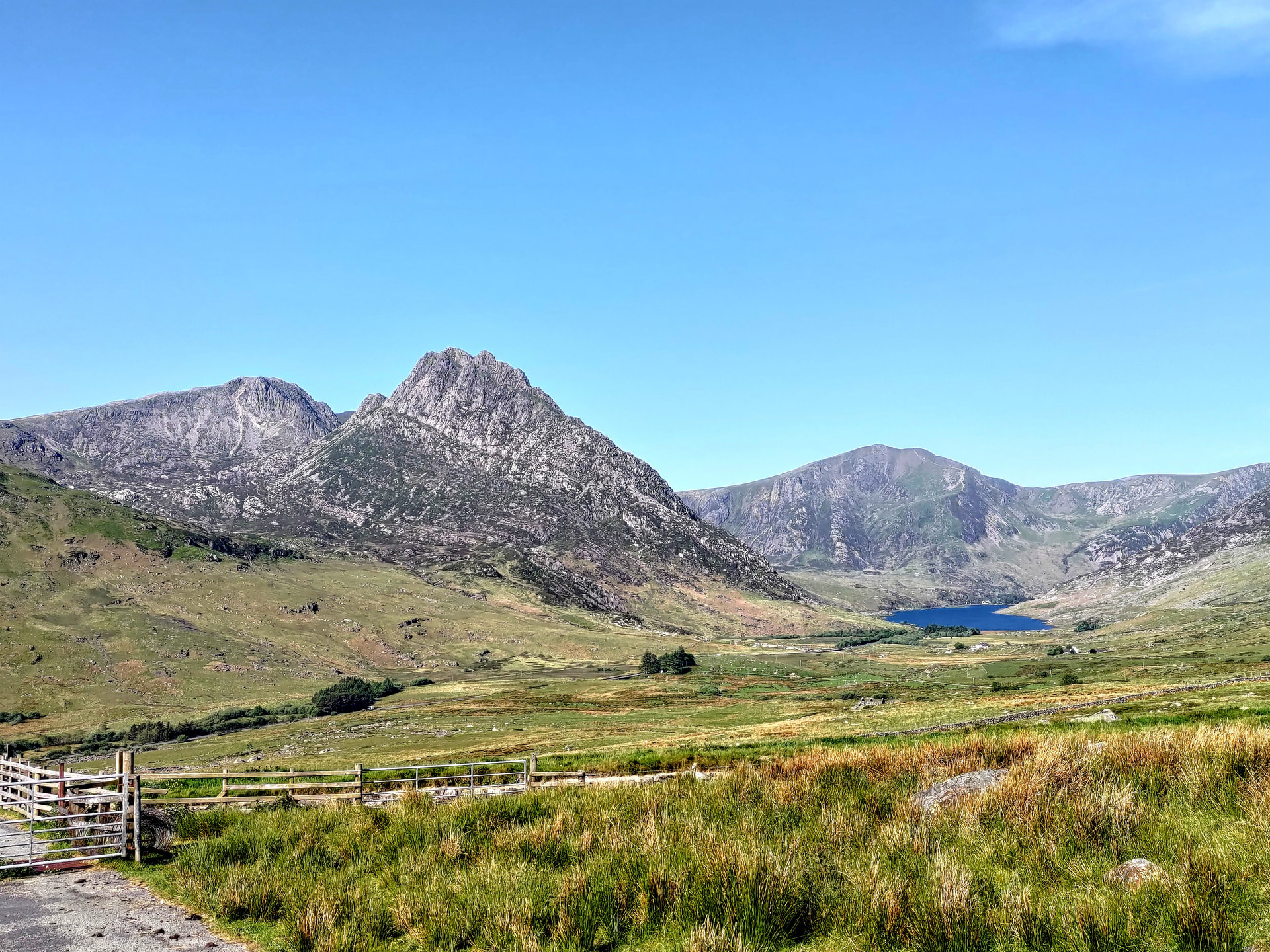
There is a good view of Tryfan and the upper Ogwen Valley from the track to/from Ffynon Llugwy.
I followed the signs through the camp site to the ‘secret’ cafe which turned out to be someone in a converted horse box. I forked out £2.25 for a can of Vimto (at least it was cold), topped up my water bottle and headed back to the car along the byway and cut back to the parking layby through the upper camp site.
I’m glad I’d researched the routes for the day and planned a backup route in case in case one didn’t work out although from descriptions, photos and YouTube videos I was expecting the difficult part to be lower down near the reservoir and the ridge walk to be easy not the other way around so I would’ve known sooner if I needed to turn back.
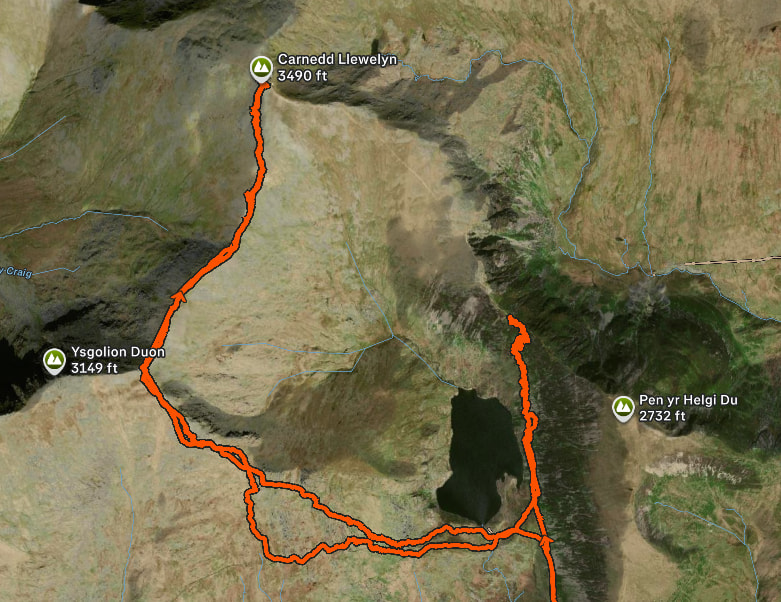
The walk ended up being around 14 miles with 1250m of climbing over 7.5 hours, a snip from the GPS log shows the aborted route:
The factor 50 did it’s job but as usual took some scrubbing/scraping off once back at home.