I have looked to activate GW/MW-005, Llan Ddu Fawr, for several years, but had been put off by reports of the boggy ground. The prolonged dry spell, and favourable feedback from TIM @G5OLD’s recent activation, encouraged me to visit.
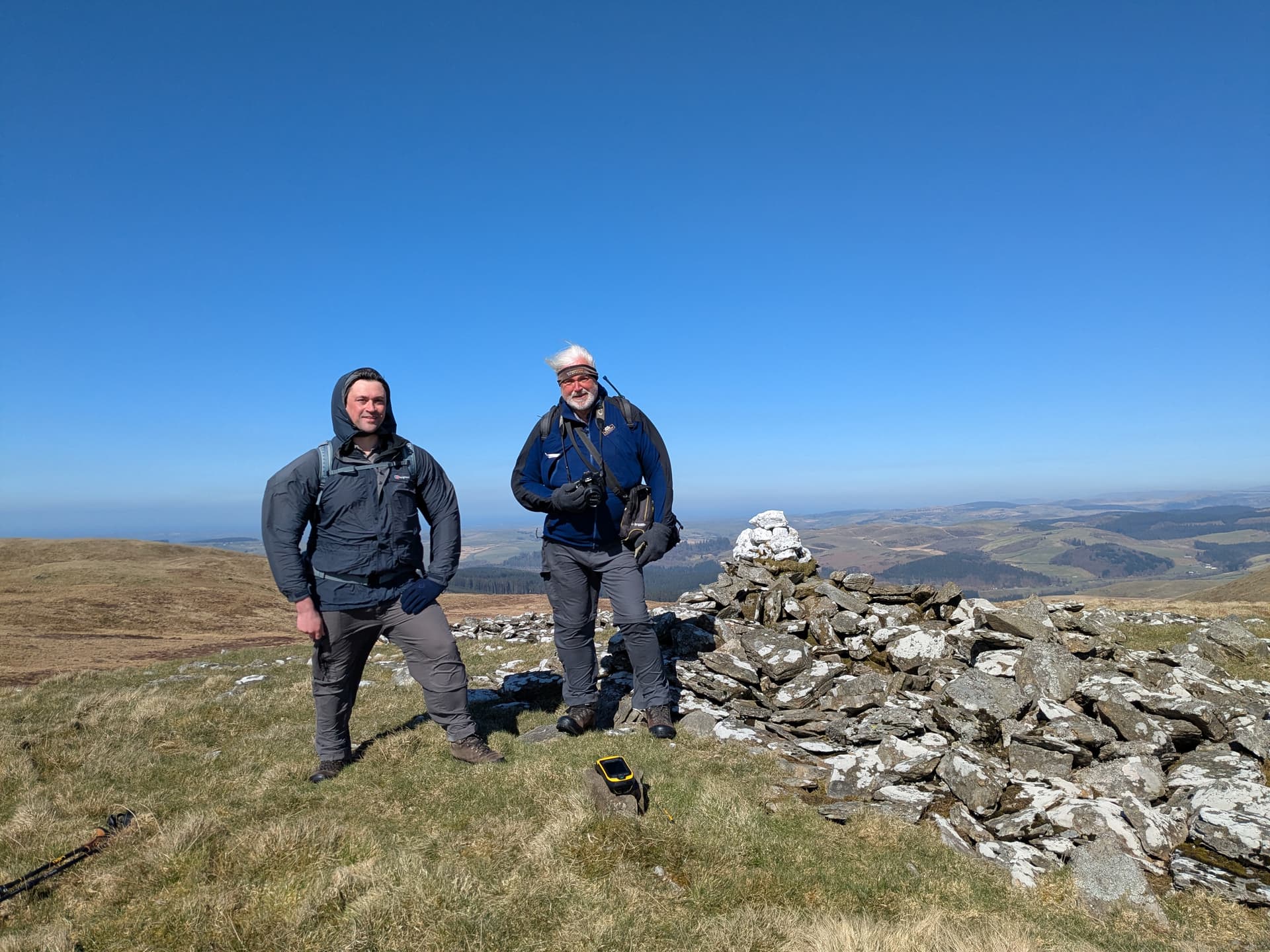
I thought that it would be pretty safe to assume that I would not meet anyone on this summit, so I was surprised to find another car at the parking location.
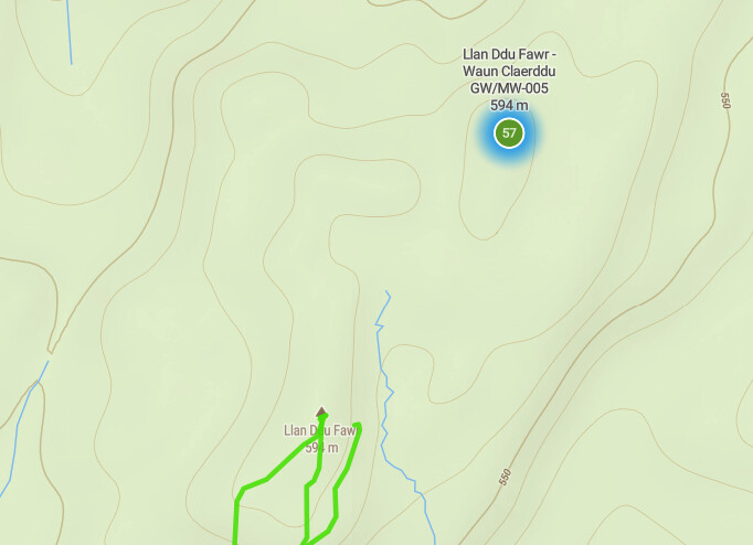
The OS map shows ‘the true summit’ to be at SN791704, 500m beyond the trig point, with some marshy ground between the two summits.

© Crown copyright and database rights 2025 Ordnance Survey (100025252)
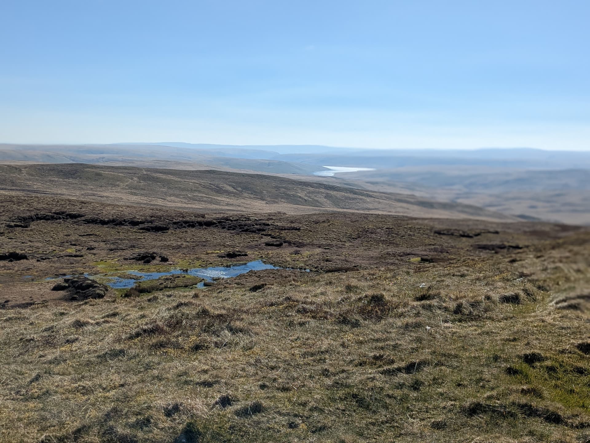
It was a pleasant walk to the trig point with clear skies, and mostly firm ground. On reaching the trig point I decide to make a visit to the second summit. As I approached, I wondered just how confident I could be as to which summit was the high point, with only 1m of height difference on the map.
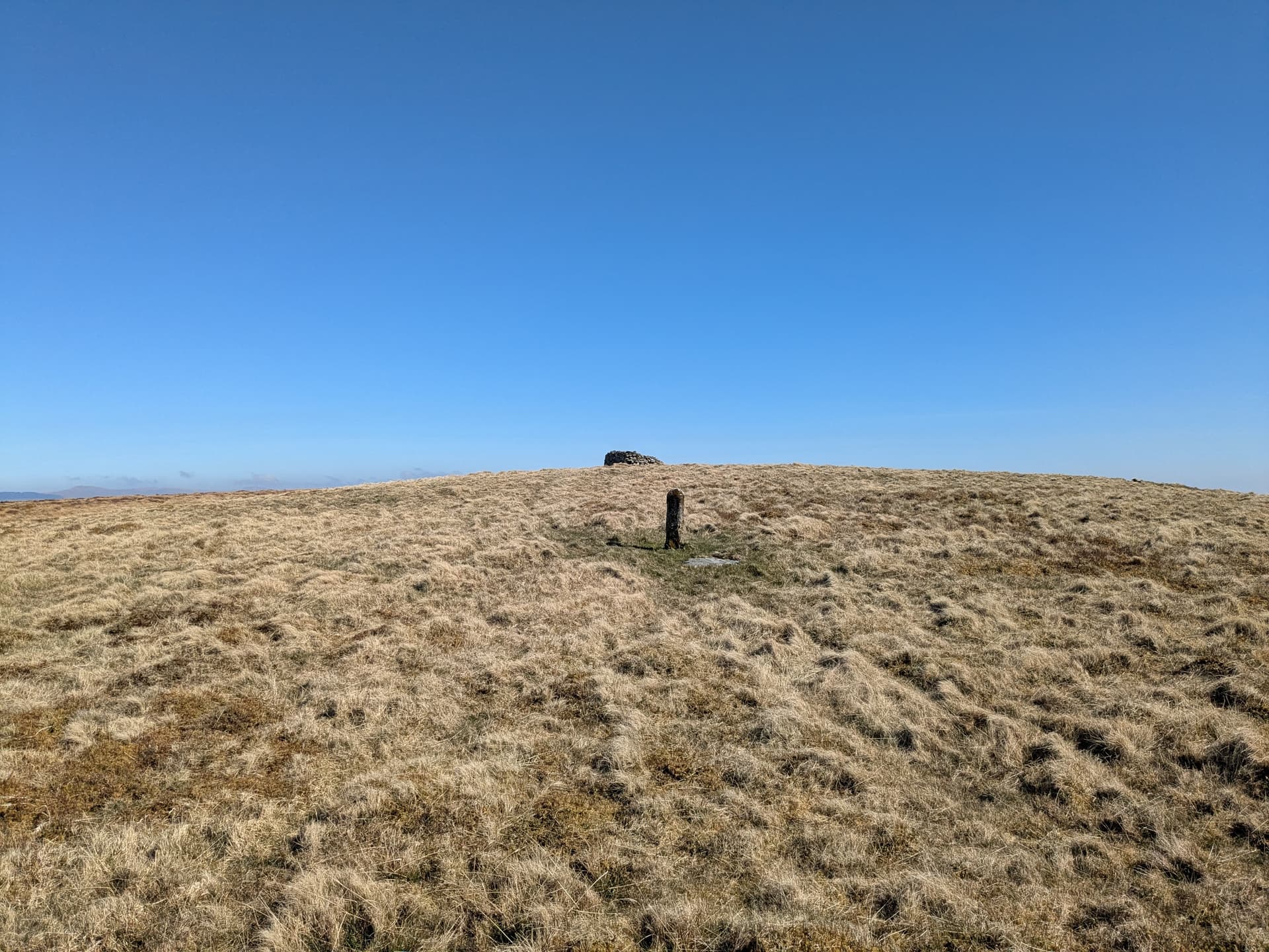
At the summit I found Myrddyn Phillips and Aled Williams. They had been examining LiDAR imaging of the terrain and were surveying the summits to establish their height.
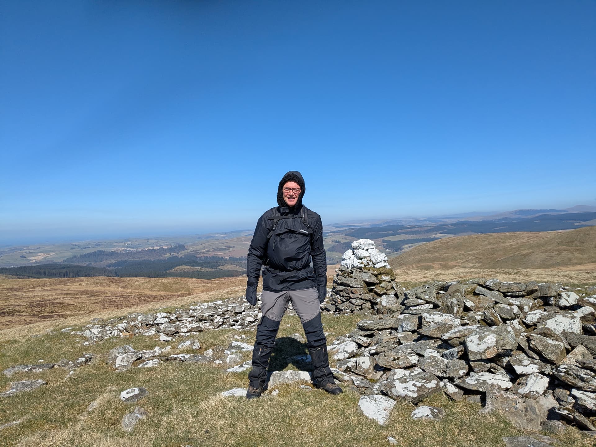
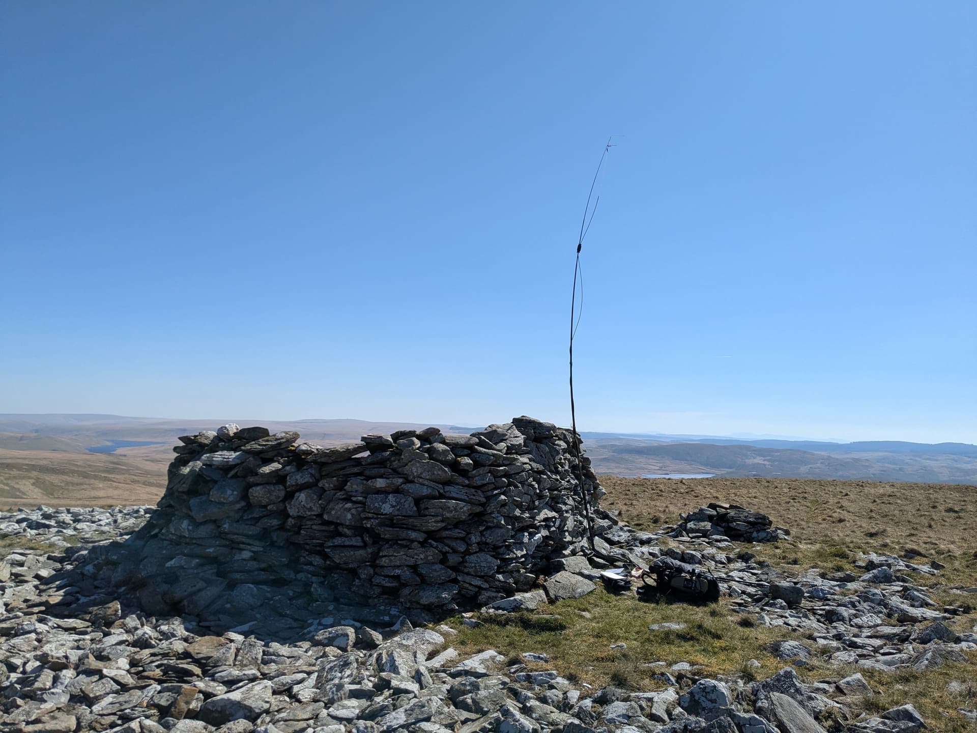
Back at the trig I set-up my station and tried to work some of the summit to summit stations at the Lake District weekend on 2m FM. I could hear many of my friends at a solid 59 but just couldn’t get through the pile-ups. No matter, the event had attracted lots of chasers to the band and I qualified easily on 2m.
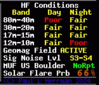
I switched to HF, with my trig point reference at the ready for Esther @GI0AZA. The HF bands were worryingly quiet. I managed only one UK contact on 40m SSB and only managed 3 in total. All credit goes to Mal @GW6OVD. I increased my power to 10w and switched to 40m CW. After 15 minutes of calling I only had 2 contacts. 20m CW was little better, and I only just managed to qualify due to the ever dependable Jack @OH3GZ, Manuel @EA2DT, Fabio @IK2LEY, and a summit to summit call from Kurt, @HB9AFI. It can’t have been a great day for the chasers. I am very grateful for their support.

Myrddyn arrived at the summit while I was activating, and made a series of survey samples. We were both packing up at around the same time. Myrddyn said that I need not wait for him as he was a slow walker and would need a couple stops on the way. I explained that there was nothing for me to rush for, that would be half as pleasant as a sharing his company. I casually mentioned the addition on Rhinog Fach GW/NW-078 as a SOTA summit, “Yes, I resurveyed it in 2021”, Mynydd Anelog GW/NW-077, “Yes we surveyed that in 2020”, and Black Mountain, GW/SW-041 moving from England to Wales, “Now that’s an interesting story …”.
Myrddyn is a very amiable chap, with a love of mountains and maps. I thoroughly recommend having a look at his ‘Mapping Mountains’ Blogsite.
In the coming weeks he will publish the answer to my question: Which is the highest summit.
73, Kevin MW0KXN