OK, so I’ve always used my Iphone 12 as my main mapping system (GPS) and spotting device when making my way to a summit(s). I’m really bad, I never take a paper map with me, or any other deice, just my phone. So, you could say I wing it, but it’s managed me to get on top of 183 summits in the last 9 months - I’m not going to tell you how many times I’ve been slightly lost though, hi!
Mrs BML and little Lyra have offered to buy me a GPS device for fathers day, so I’d like some help on which one to choose. I’d like something that is easy to follow, good battery life that will last all day, and obviously works well! I’d pay anything for a good well tested device. I look forward to your help and suggestions. Thanks in advance.
Ben, that doesn’t quite match your request.
I expressly recommend an inexpensive Android smartphone, e.g. a Samsung A32 ~ 200 euros and the app Kommot ~ 30 euros with worldwide coverage of all hiking trails. You can load the map at home via WiFi and then use it offline even without a network.
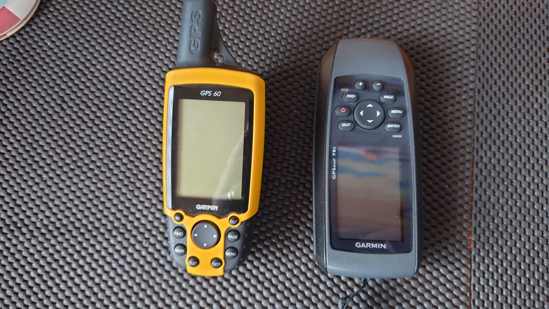
From personal experience, I’ve found the Garmin range hard to beat, as Andy says. My old GPS 60 is still going strong, my wife has the newer version and my GPSMap 78s is used for coastal sailing. I have a small one for my bicycle, too. Rugged, reliable and built for purpose.
I bought a UK OS Map card for the new ones which makes navigation even easier.
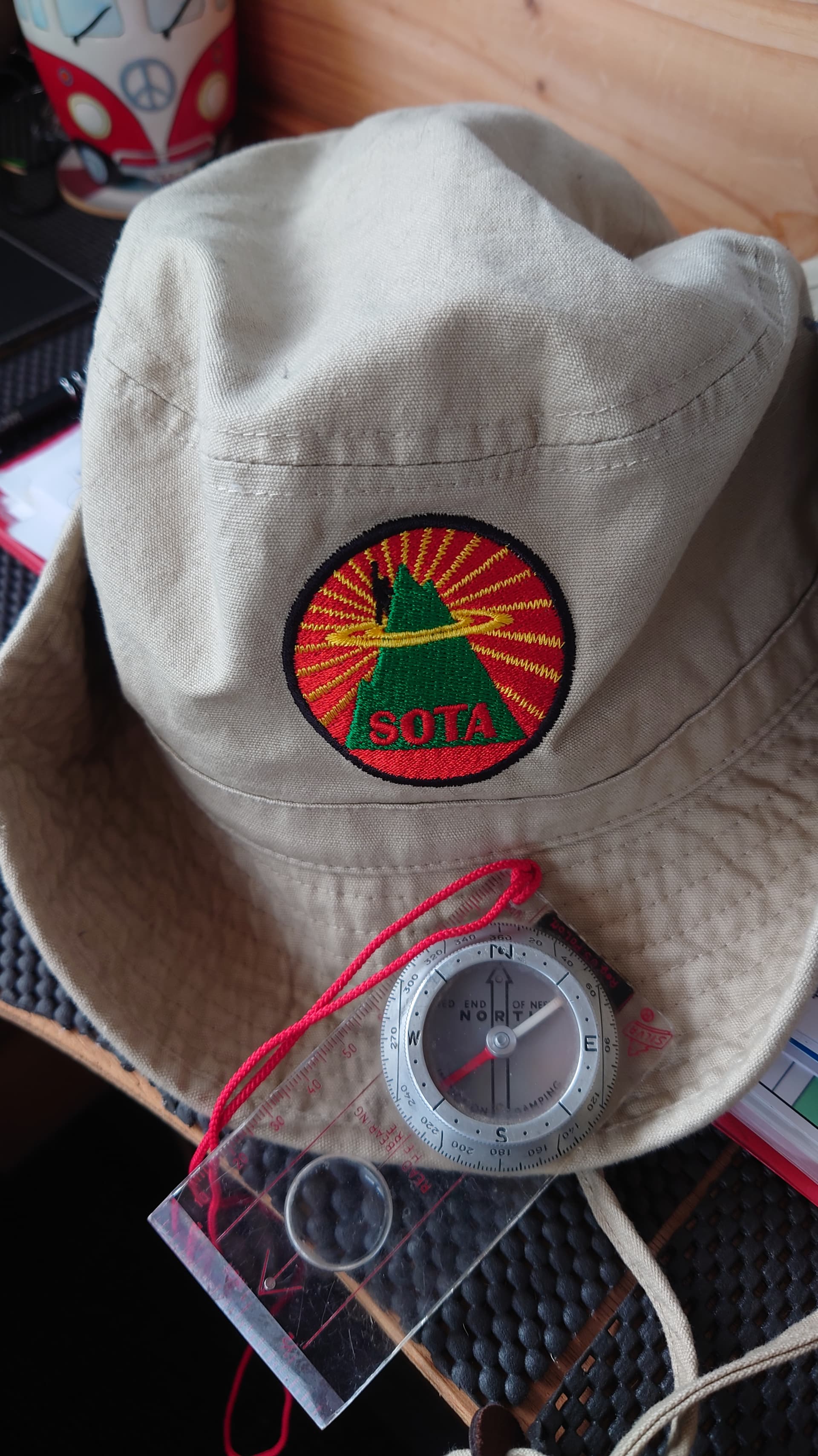
BUT… in a boat or on a hill I never go without paper chart/map and compass - it could save your life when technology fails. The GPS is always a backup, never a primary navigation source.
Happy Father’s Day…
Thanks Chris - great feedback, but it’s just a dedicated GPS system I am looking for. I’ll always carry my Iphone when hiking, this way my battery shouldn’t die so fast. When looking for a new phone, I will take this one you suggest into consideration. Hope your keeping well and available to be out in Germany on Saturday morning 18th June for our GW S2S party and MG activation. Look forward to making the qso!
Hi,
Android phone or better tablet with OSM App Open Street map or any other app you see fit. Open Street Map on tablet you can free of charge download 6 maps, can be upgraded to 9 with all details + with tablet can be used offline no wifi or connection to phone network required.
Seperate GPS Device? I think that is outdated?
Vy73
Patrick ON4BCA
Hi Ben, As most on this thread have said Garmin is the way to go, I started back in 2008 with an Etrex and it literally saved Elaine and I being lost on Scafell I.O.M. as while we were on top a DENSE Fog descended, luckily I had laid a paper trail on the Garmin to follow back down to the car! I always have a paper OS Map and a compass, but the GPS Device definitely was a god send. I now have a GPSmap 78 as it has an improved Satellite Antenna due to its Marine use. I get my Maps from TalkyToaster (Google him) his maps are very reasonable and up to date HD TOPO Maps.
Hope this helps, I always find either no signal or very slow Internet on a mobile phone?? IMHO
Thanks for the feedback Mike - reading the reviews and description of the 66 that Andy mentioned above, it looks like a Garmin will be the boy! I need something now to try out in the summer so I’m familiar with it ready for winter the glorious wx period we have in Wales, hi!
It was great to work you on 40m the other evening from G/WB-018, you were the only UK station that heard me on 40m! Great contact!
Thanks for the fathers day wishes, I’ve got to make the most of my present offering from the two bosses in the household, hahaa. If your about on Saturday 18th June in the mid-morning, we may make a qso.
Thanks @ON4BCA Patrick for your input. Unfortunately, my SOTA days can last longer than 12 hours on times on very remote mountains in Wales or the UK, so just having a phone wouldn’t do it for me. I think you’ll be surprized on how many active activators do carry a dedicated GPS device these days, I don’t think its outdated, I think it’s becoming a future thing to have on you. I’ve relied on my phone long enough now, so need to get a dedicated device ready for next winter. Again, thank you for the input
NEVER rely on just GPS, even if you have multiple devices.
THE Military regularly either jam or spoof the GPS signals in various areas for training.
You need at least a static map (paper or digital) and a compass for when that happens.
Hi Tony, yes that’s a great help! Garmin is the way forward by the looks of it. I find when my Iphone gets cold, it looses all communication and the OS Maps app takes me in all directions! And I agree with you on the signal front - phones are awful when on top of a high peak / mountain! I do need to buy a paper map as well for back-up, but I do have a compass… somewhere it looks like I’ll be asking for a Garmin and I’ll also have to help them with the money front, hahaaa. Thanks again for your help - may catch you on air soon!
It’s not water ingress Chris, but damp touchscreens that make them difficult to unusable. Dedicated GPS have buttons designed to work when you wear thick gloves. So no need to remove gloves to use the GPS.
You wont go far wrong with the 66. It’s pretty-much weather-proof and it’s what Mrs MWL uses. She enjoys setting waypoints before we set off as a valuable crosscheck on my more traditional route navigation…
Great to work you on 40m from View Edge this week with an excellent 5/7 here. Good work. Not sure of Saturday plans yet (just back from trip to Lincolnshire, London and Hampshire) but if I’m around I’ll have my ears on.
Happy unwrapping
I’ll say here and now I have no experience at all with GPS devices of any type. But I’ve just come across a range of small devices which can connect via Bluetooth to a smartphone, and which offer better reception of GPS/Glonass than a smartphone. One such device for $99:


 the glorious wx period we have in Wales, hi!