I was in two minds for what to do with a decent-ish weather forecast for Sunday morning - do I head out for a long run as required by my current training plan, or do I head out for a hillwalk and knock off a SOTA summit? In the end, I decided I’d combine the two and get the best of both worlds - a 26km run in the Whitelee Wind Farm with a single-point SOTA activation on GM/SS-236 Corse Hill as a nice halfway breather!
This was a bit of a test run just to see if it was possible to carry enough radio gear to carry out an activation in my running pack. I took the Yaesu FT-270, a Watson WH-XX270 quarter wave whip, a couple of spare batteries, and my trusty rite-in-the-rain logbook, and somehow managed to squeeze it all into my 6L Osprey Duro running pack with all the other necessary bits and pieces to complete the run safely. Normally I’d be carrying a warm-ish midlayer and a paclite waterproof shell, but this time with the dry weather forecast, I opted to pack a synthetic duvet jacket to make sure I’d stay warm enough if I needed to hang around waiting for QSOs to get my activation.

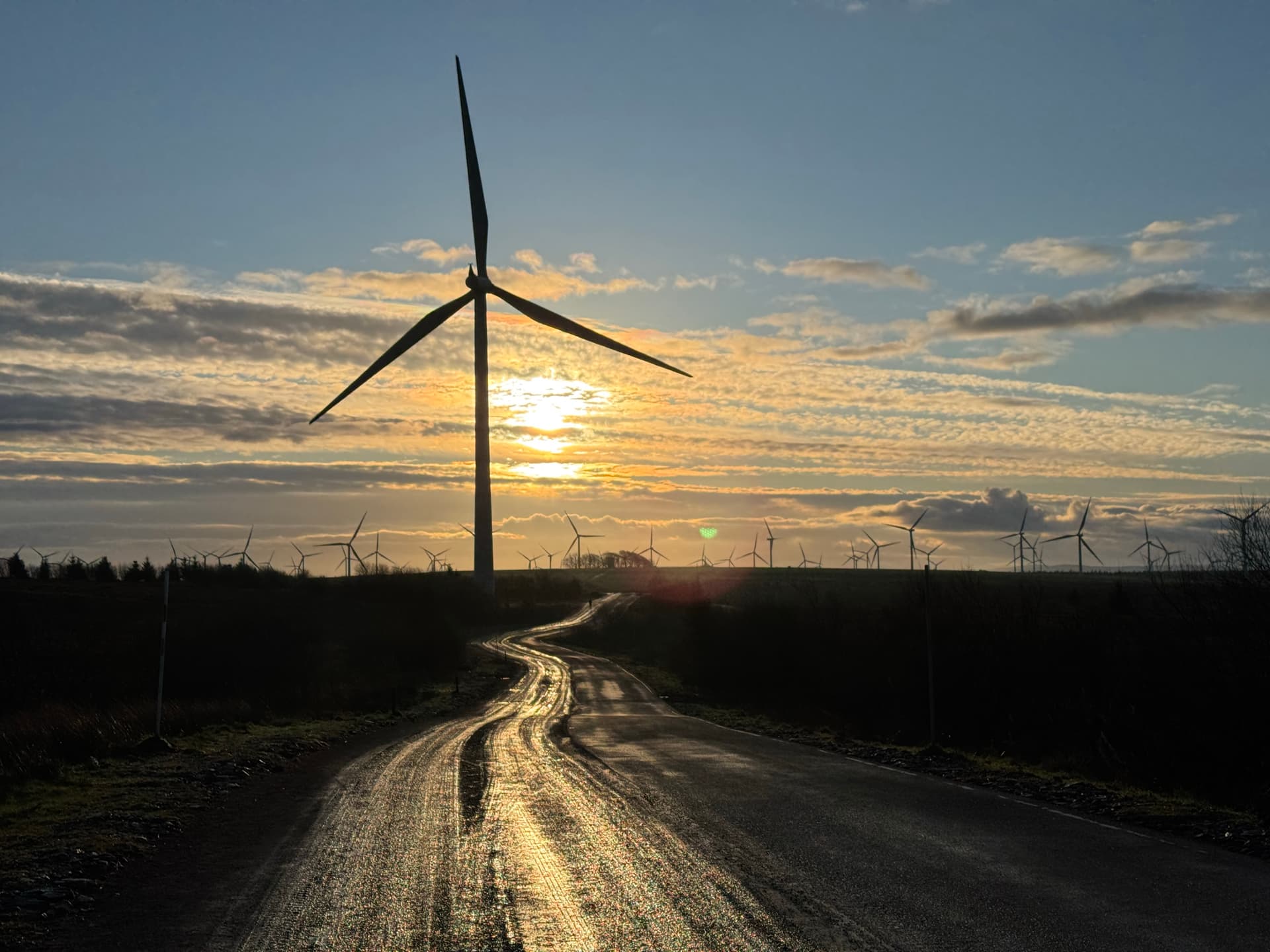
I set off from the Whitelee visitor centre just before 9:30 on the Sunday morning, with the sun just starting to warm things up a wee bit. I made the navigation nice and easy for myself by following the Spine Road from around the Operations Centre right up to Corse Hill. As usual, the area around the visitor centre was plenty busy with people out walking dogs but by the time I got a couple of kilometres out, there were only the occasional few hardy gravel cyclists passing by.
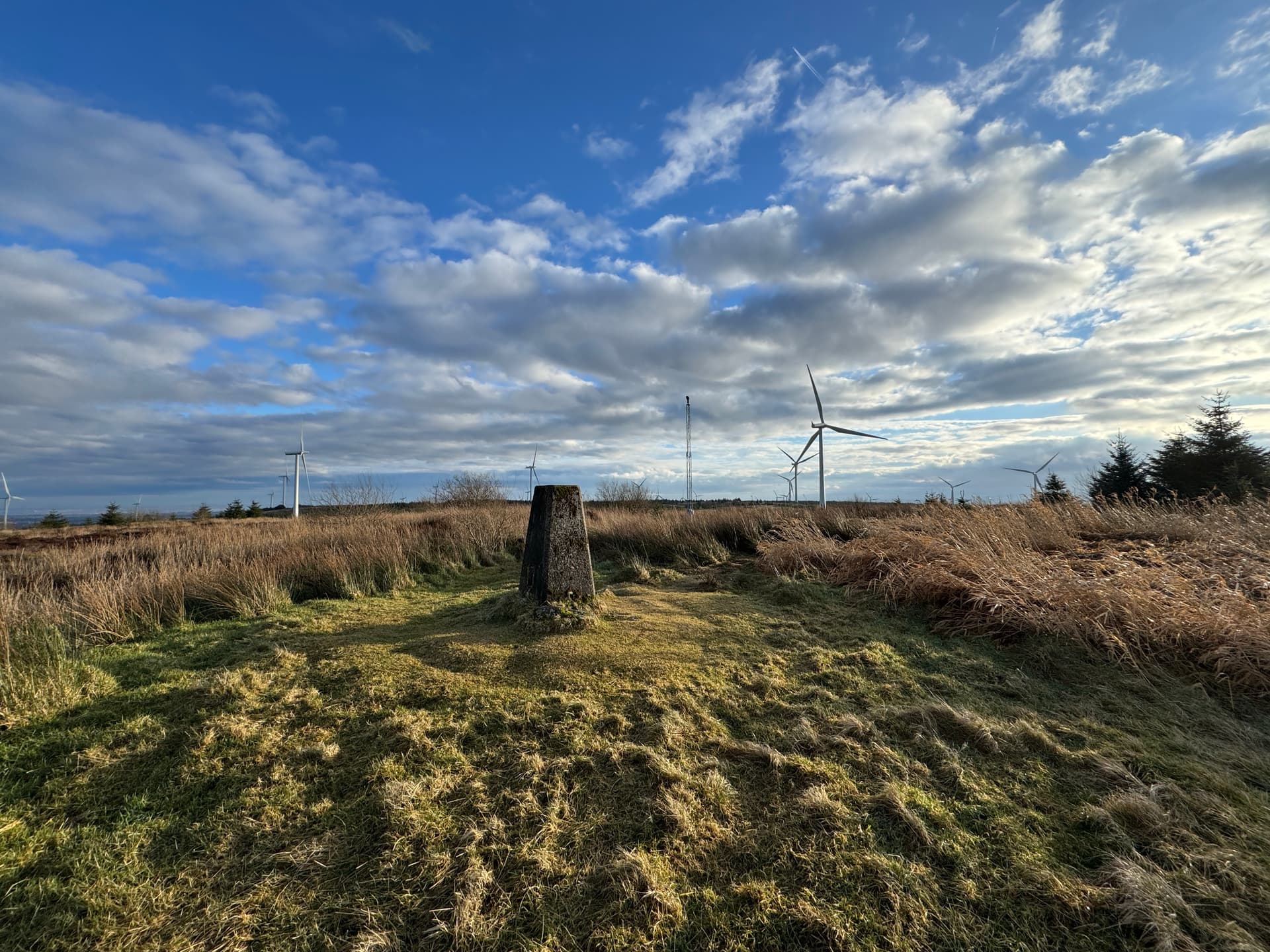
There was a wee bit of frost and a few frozen puddles on some north-facing slopes, but largely the fear of any ice underfoot was melting away as the sun continued to rise. I was trying out a new pair of trail shoes, and although my feet were pretty happy, my legs and lungs were a bit creaky after a week of fairly hard training sessions. Eventually though, I worked my way up a few gradual climbs until turning off up to the Corse Hill viewpoint, where the old weather radar station had once stood.
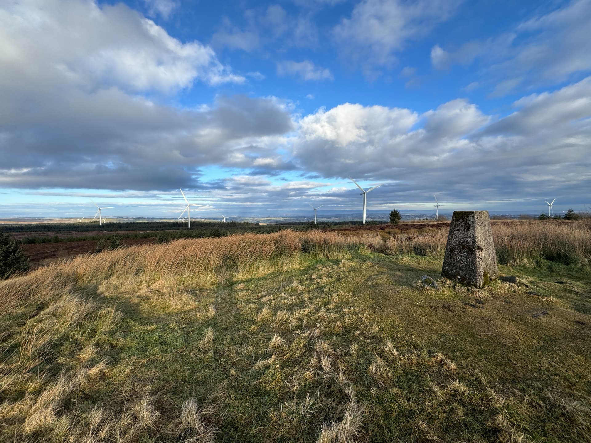
From Corse Hill, you’ve got good line of sight over most of the Glasgow area, and on previous visits, I’d seen good views down to Ailsa Craig and Arran, leaving me feeling optimistic that I’d be able to pick up activations without too much difficulty, and I wasn’t far wrong. The biggest hurdle was that I’d arrived at the top of the hill just before 11:00, just as the post GB2RS Net was starting to kick off, meaning most of the 2m operators around were already a bit busy. Eventually though, I managed to pick up five contacts in fairly quick succession (with the help of a spot from Rick @GM4ZMK), and that meant I could stuff my big jacket back into the wee pack and get running again before I’d cooled down too much.
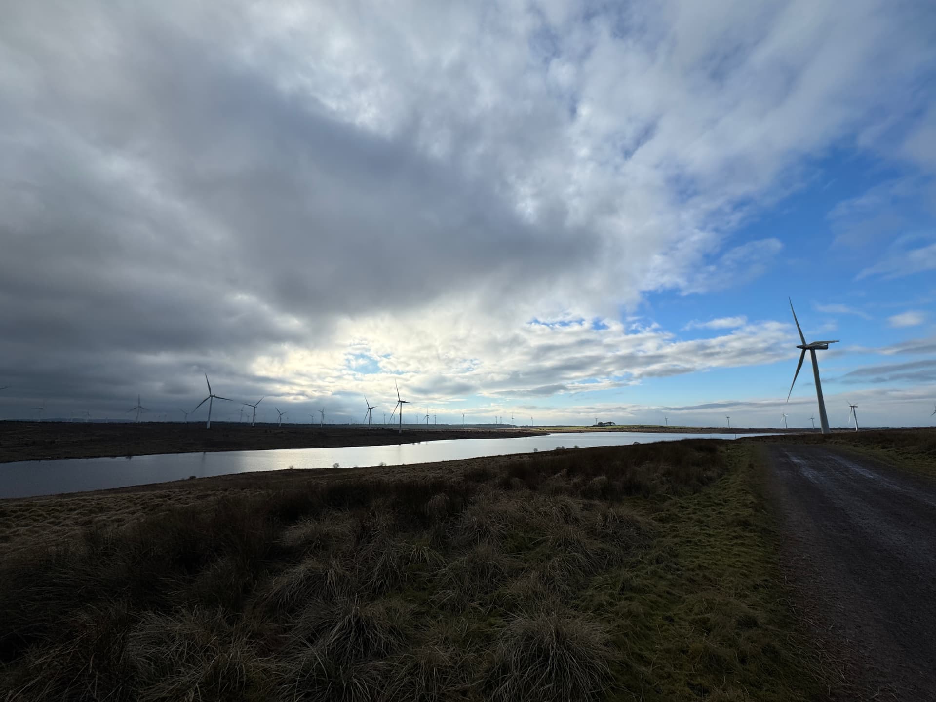
The return leg was very slightly different, carrying on to join Myers Road to loop back to the Spine Road again, and then branching off round the Loch Goin loop for a slightly extended variation route back up to the visitor centre. I’d timed my return nicely, as a big cloudy front was just starting to obscure the sun as I got back to the car pack.
I was pretty sad on getting back to discover that the visitor centre was closed, and the hot roll and sausage I’d been dreaming of would have to wait a wee bit til I returned back to the home QTH.
In terms of running with a radio, I think this will definitely work well as a summer pastime when there’s less need for bulky layers, and I can’t wait to get my far more compact FT-65 back from repair to keep a bit of weight off the pack.
SOTA Data activation: Sotadata3
Strava route (26.4km, 353m elevation): Of Corse | Strava