The day’s weather forecast had looked pretty good, so I thought it’d be the perfect opportunity to jouk out after work and get a local hill in the bag. I had visions of watching the clock tick past 16:59:59, making like Bart Simpson on his skateboard home, and then an effortless glide along the road to Luss in order to get up Beinn Dubh. Unfortunately, things didn’t quite go to plan, with a less than smooth exit from work, improvised car repairs, and a forgotten pair of trail running shoes all contributing to me not making it to the car park at Luss til just short of 7pm.
Passing over the wooden footbridge from Luss over the A82, the path to Beinn Dubh is clearly signposted and easy enough to follow, and while it was certainly soft in places, it had been dry for a decent spell so the going was comparatively good.
I was dressed up as a runner, my heart rate said I was putting in a pretty solid tempo run effort, but my forward motion was definitely more that of an out-of-practice occasional Sunday hillwalker. The pull up from Luss was steep, but the daft wee lambs out in big numbers at least provided a good degree of comic relief.
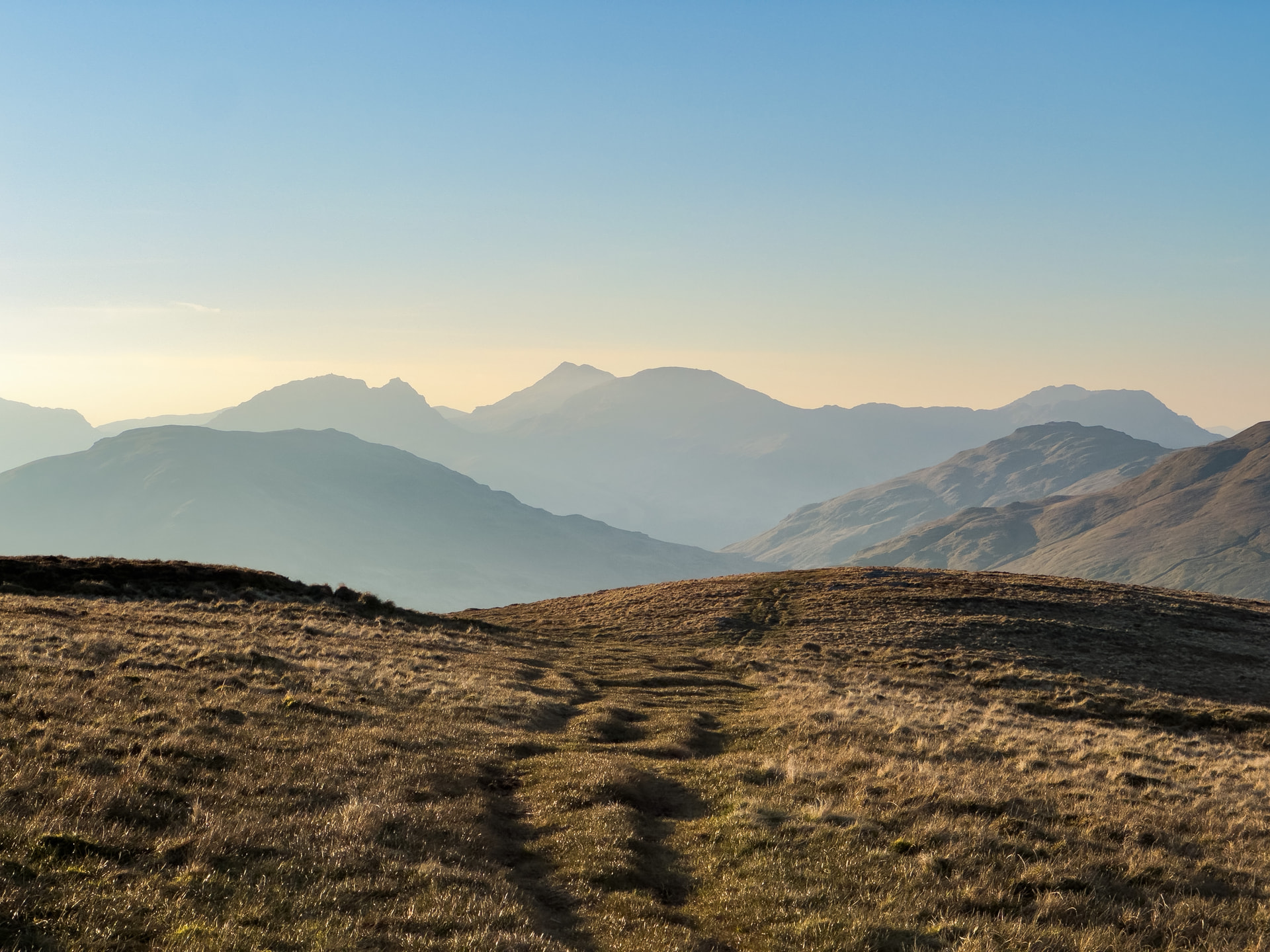
Gaining a bit of height, the views back over Loch Lomond’s many wee islands also provided a welcome excuse for breathers and “photo breaks”. Most of the way up is on a fairly broad big shoulder, but towards the top, something almost resembling a ridge appears, although briefly.

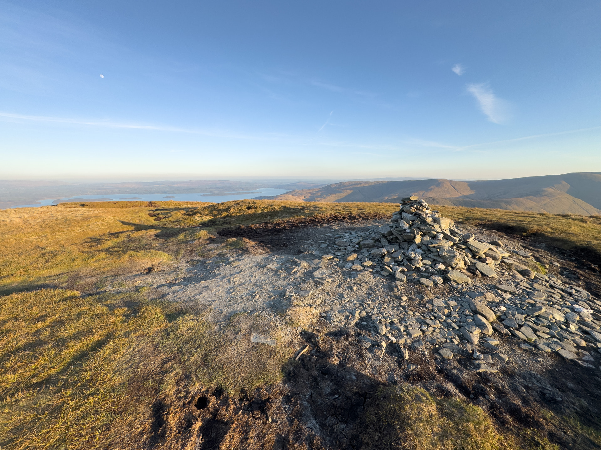
After the steep pulling-up is done, you reach the summit of Beinn Dubh, which both is and isn’t the summit. This is marked on the OS map as Beinn Dubh, but it’s only the second highest point on the mountain at 642m - the SOTA summit and highest point is about 2km further round to the north-west at an unnamed spot height at 657m. Interestingly, the third highest point on the mountain, Mid Hill (623m) is also named on the OS map, but nothing for the high point.
Thankfully, with most of the height gained already, it’s a fairly flat 2km from the 642m summit round to the 657m SOTA summit. It’s worth noting that a few more metres are lost, dropping to 595m between the two summits, so you’re not yet into the AZ at the 642m summit. Again, there’s a fairly easy to follow path along the top of a grassy round shoulder, but there are a few bogs to be negotiated along this stretch.
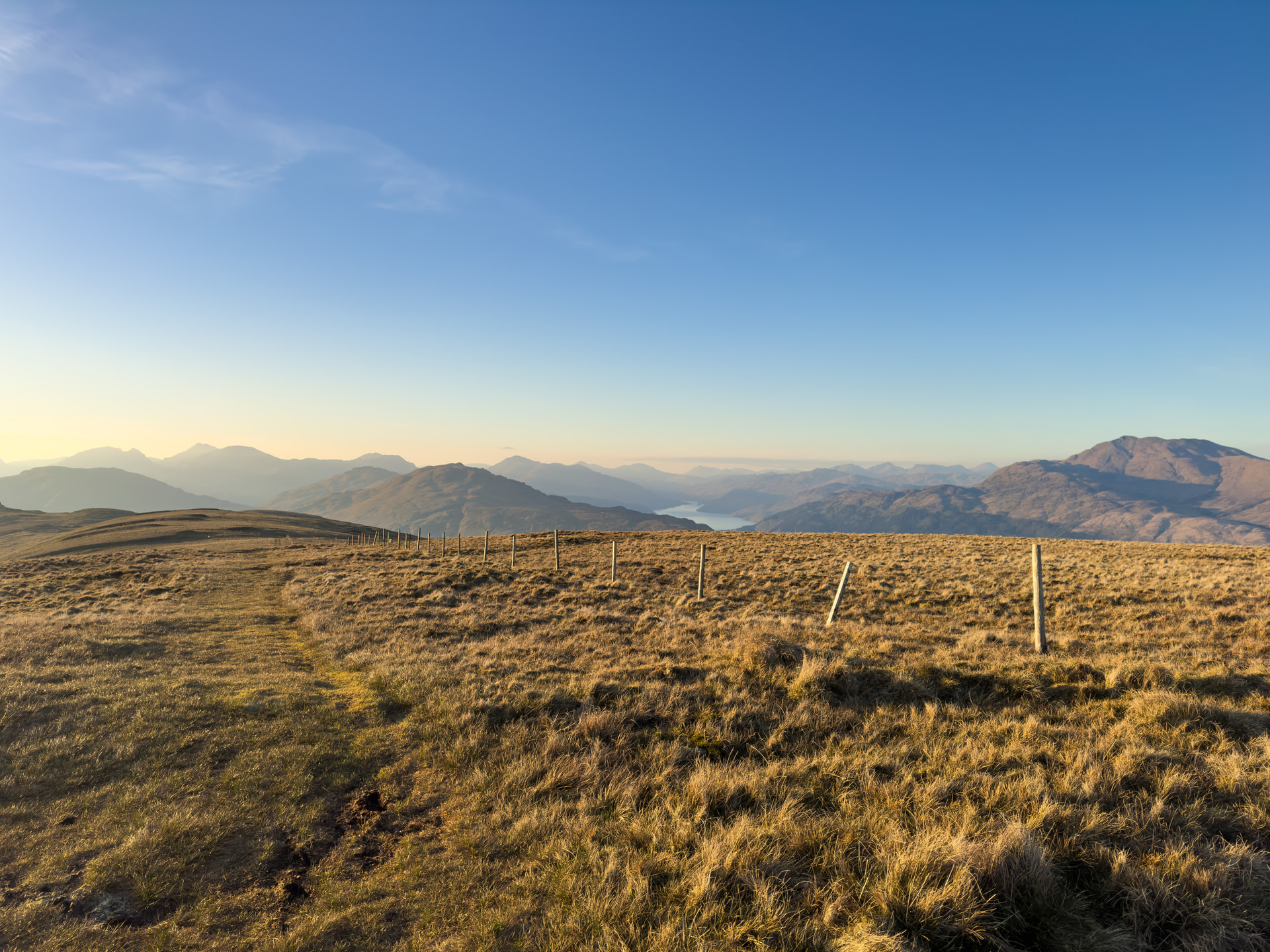
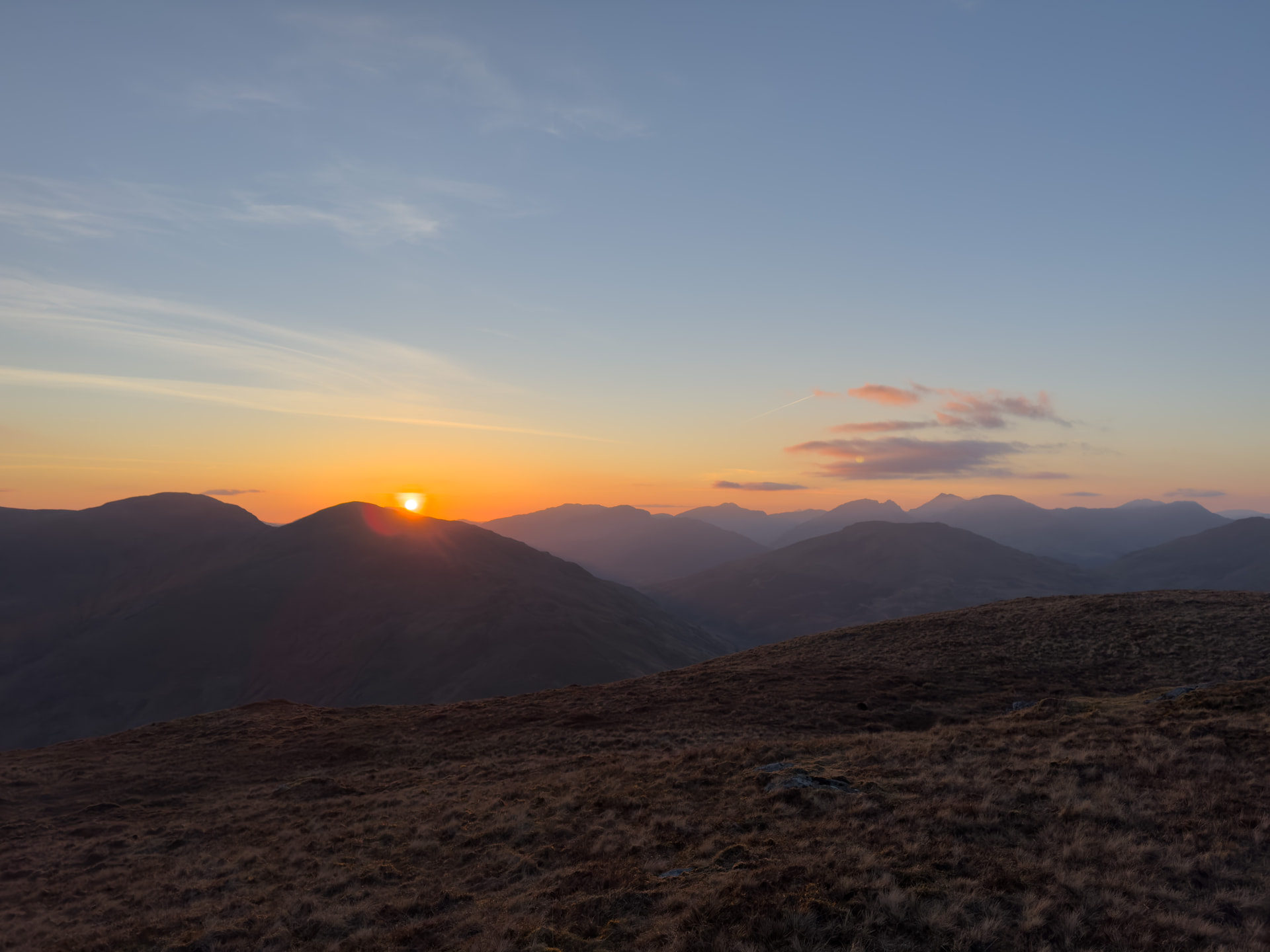
The views along this stretch were particularly enjoyable, especially with the low evening sun casting long shadows across the hills.
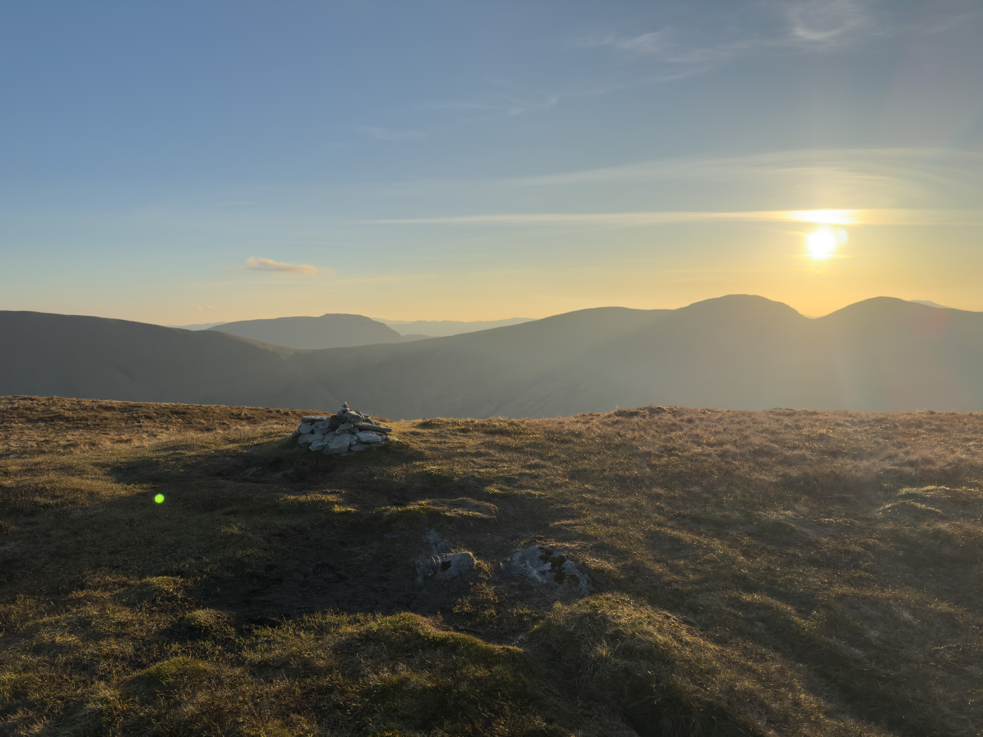
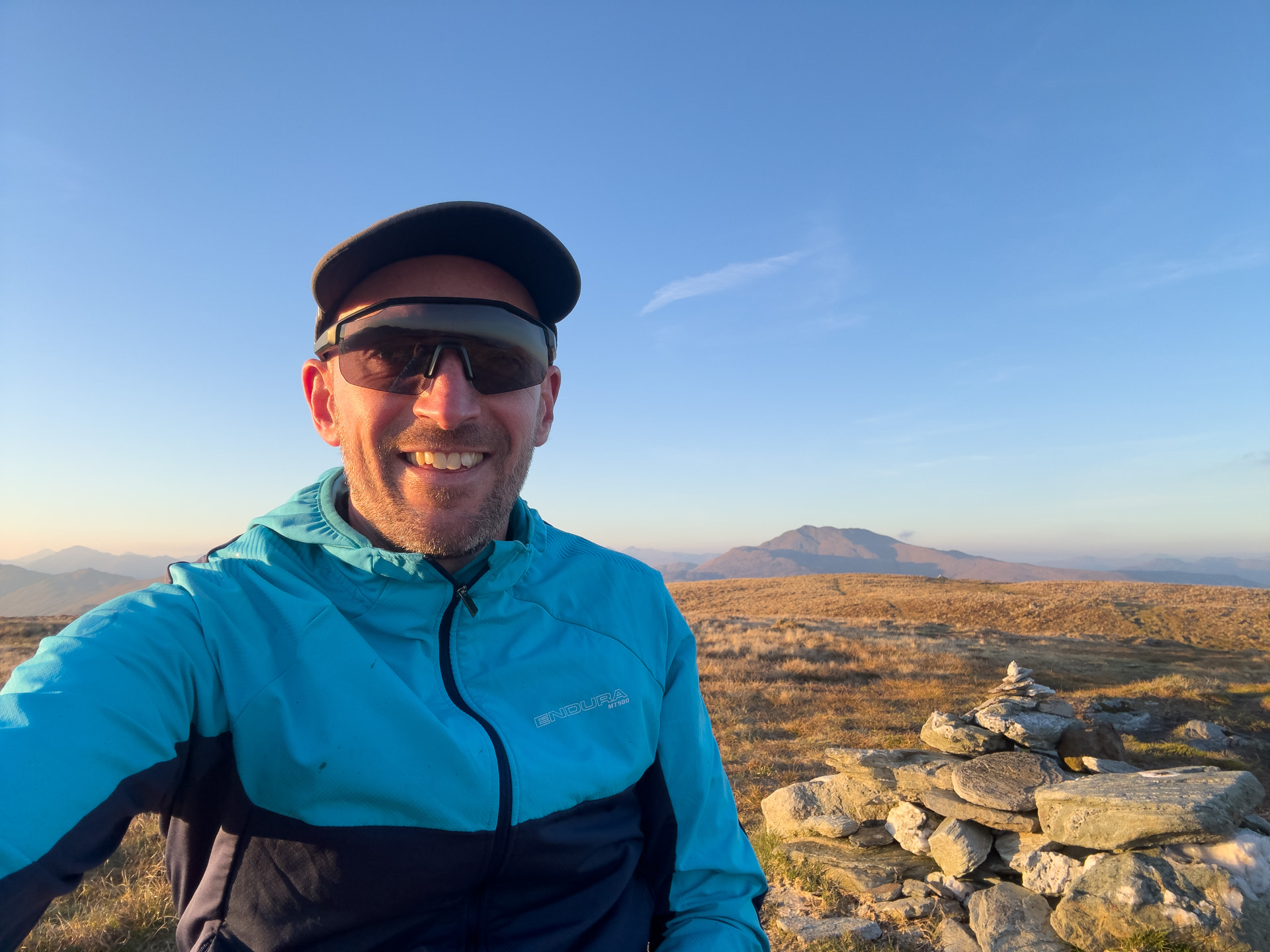
The summit itself creeps up on you with little by means of fanfare - while the 642m summit has a reasonably-sized cairn, the 657m SOTA summit is marked only by a small pile of stones.
So remember the bit earlier where I mentioned my less-than-ideal hasty getaway with forgotten running shoes? Well it turned out the running shoes weren’t the only thing I’d forgotten. Although I’d managed to pack my newly re-bunged fibreglass pole, I had a facepalm moment when I realised I’d forgotten to pack the guying bits with it. No problem, I’ll just prop the pole up myself I thought… until I also realised I’d forgotten to bring the Slim G anyway, so the pole was serving little other purpose than dead weight.
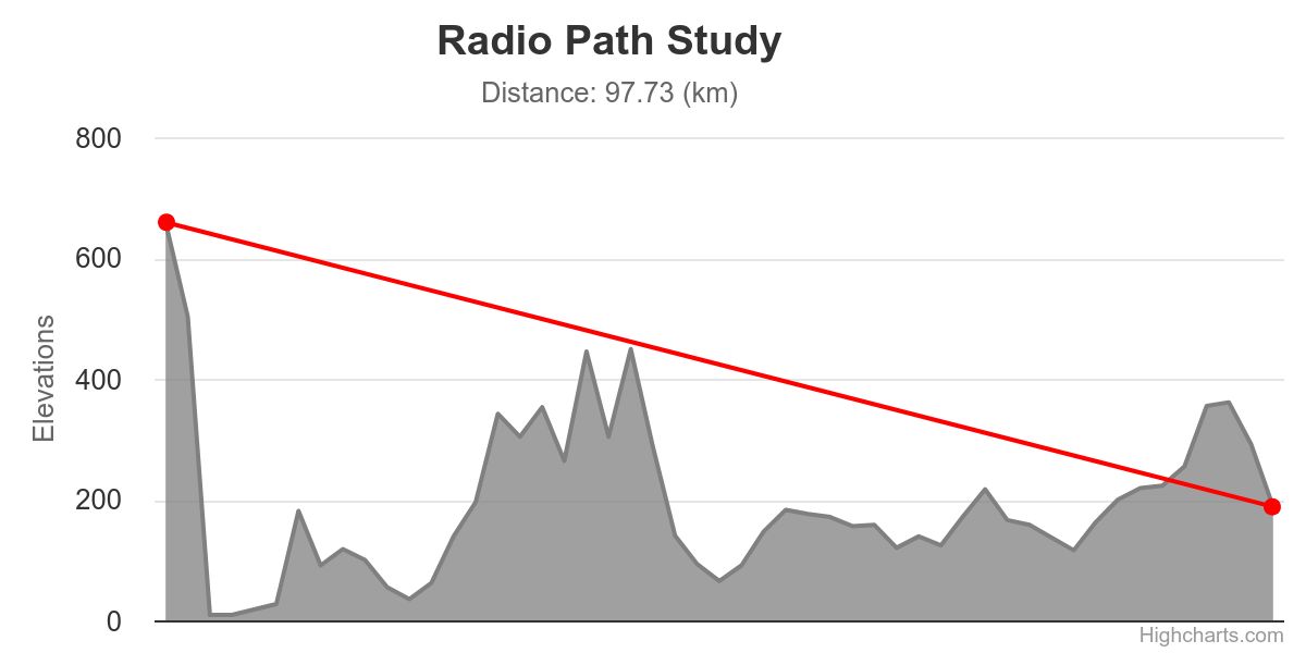
Thankfully, I did bring the FT-270 (with the FT-65 as backup) and the RH-770, so all was certainly not lost. I did have a bit of a hard time bringing in my four contacts, but got there in the end, with minor miracle contact to @M0RTO in Penicuik, despite just skimming over the top of the Campsie Hills, but very much having the Pentlands in the way.
These midweek after-work SOTA activations are a wee bit tricky, I thought I’d have reasonably good odds into Glasgow and the central belt, but I guess it’s a slightly awkward time, with folk eating their dinners, watching the telly, out at their radio clubs etc. on a Tuesday evening. I couldn’t open up GB3PA to try and drum up any traffic there (blocked by the Kilpatricks I’d assume), and the only voice I managed to pick up on MB7IBH was an echolink user. With hindsight, I should’ve probably tried GB3DM on the FT-65.
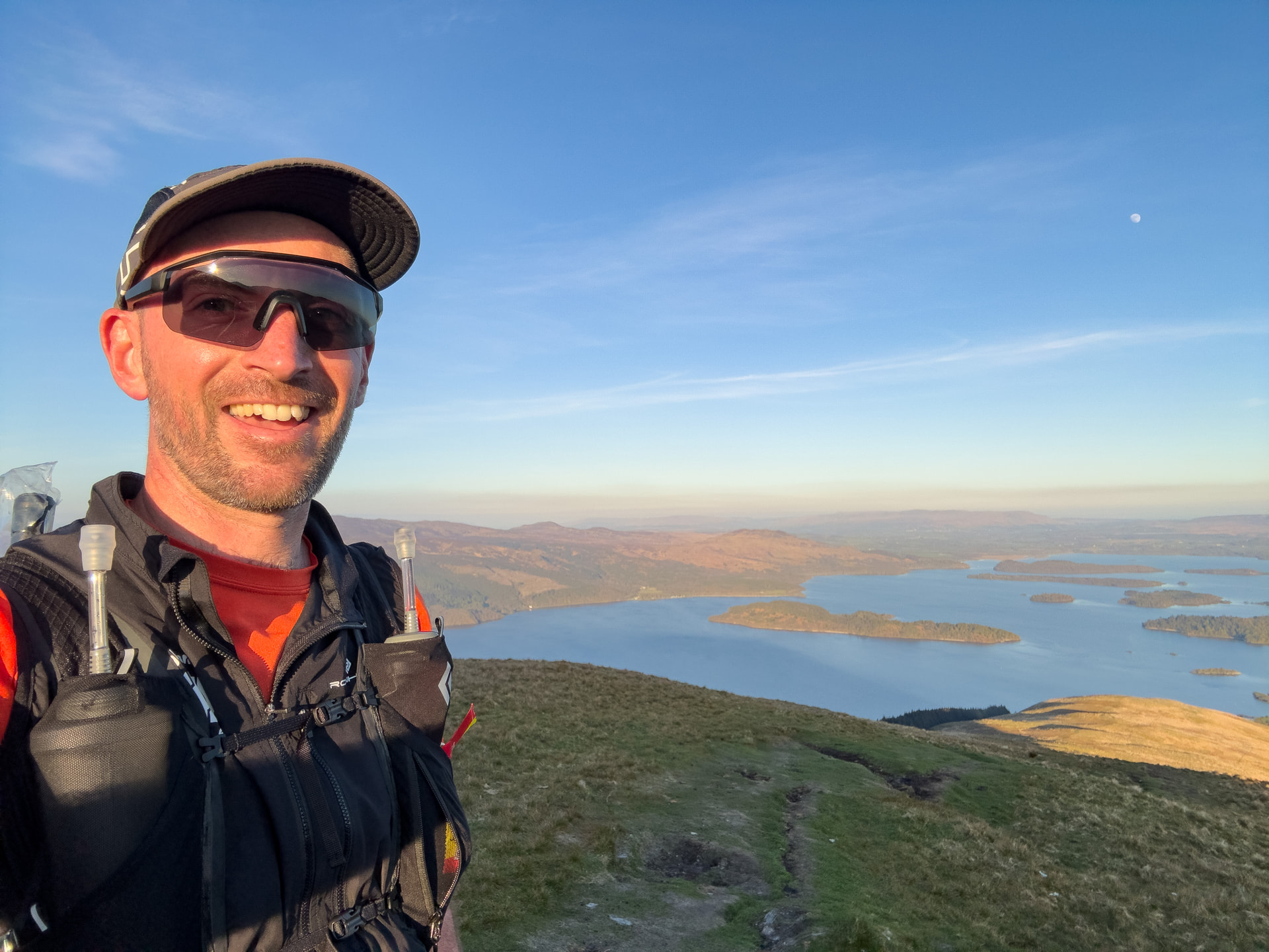
Anyway, with the bare minimum of contacts in the log, I was becoming aware of temperatures and light levels dropping rapidly. My trusty Endura MTB jacket was starting to reach its useful thermal limit, and a pair of gloves had to be put on to restore feeling in my fingers, so it was time to get running again to attempt to restore some body temperature. Still, I did manage to get an absolutely gorgeous sunset towards the Arrochar Alps for my trouble.
The descent was really good fun - plenty steep and a good workout for my quads, and also my first chance to try my new Salomon Ultra Glide 4s on some steeper ground. A fellow member of my running club had christened an earlier iteration of these shoes as the Salomon Lube based on the sound of the Ultra Glide name, but thankfully the grip from the soles was more than up to the job of hammering down the steep grassy slopes.
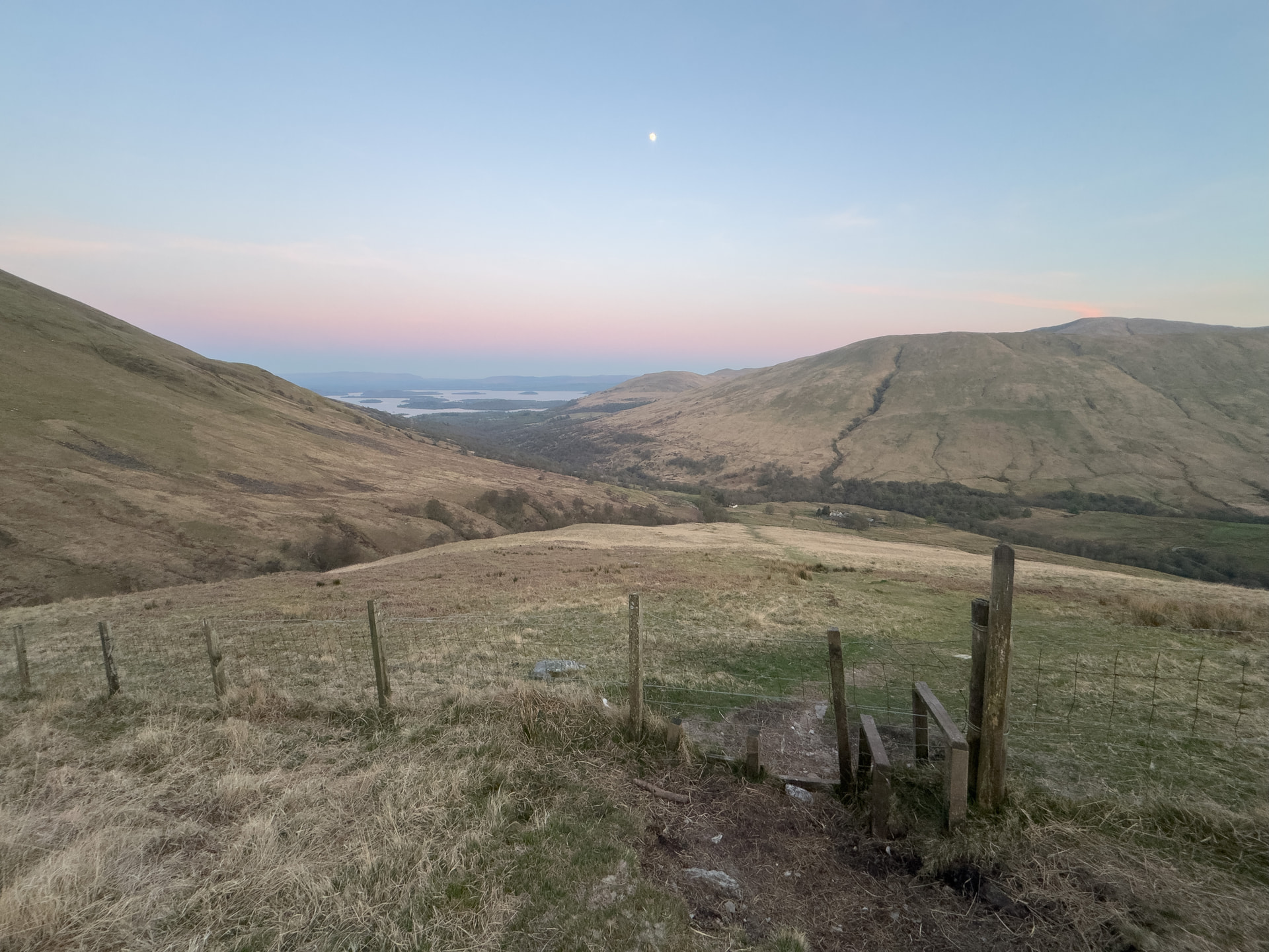
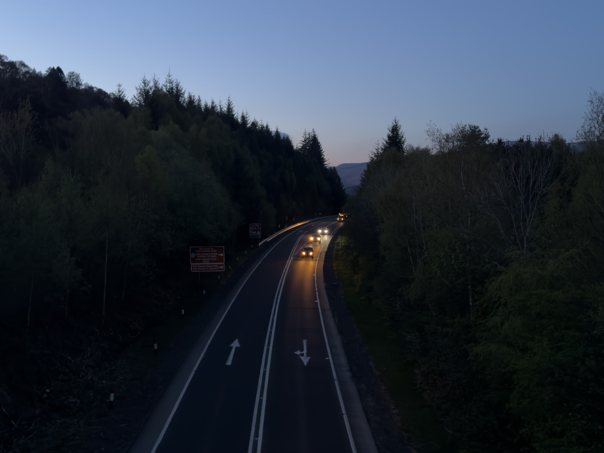
The steep grassy descent continued until flattening out when regaining the single track tarmac road through the bottom of Glen Luss. The last few kilometres on the tarmac did drag on a bit, but made for fairly easy progress back to the car. I even managed a bonus non-SOTA QSO with Jack @GM4COX calling CQ as I crossed the footbridge back over the A82.