After finishing the West Highland Way Race (156km, 4400m elevation) at the end of June it was only typical that we’d get a really fantastic long spell of really, really good sunny weather while my legs were too knackered recovering to want to get out and do much SOTA’ing. I’d just about dragged myself up Blaeloch Hill (GM/SS-220) a couple of days after the race, and even exactly a month later, walking up Ben Vane (GM/SS-017) had felt like I was on concrete legs. Of course, just as my legs were starting to ease up a bit, so was the spell of good weather.
During the day at work, I’d been keeping half an eye on the weather forecast - it had been dry all morning, and looked like it might actually stay that way for the rest of the day, contrary to how the weather had been acting for the previous couple of weeks. I had a wee scan round SOTL.as and settled on Ben Venue as a candidate hill for something I could get to within about an hour from leaving work, ascend fairly quickly, and then get down in time for sunset at around 21:15.
Sure enough, I cycled home with purpose, quickly flung what I hoped was the right gear into my running pack, hopped in the car and got heading for the Trossachs, progress mostly slowed by the simple act of just trying to get out of Glasgow. By the time I made it to the normally-heaving forestry car park at the back of six, I was one of only a couple of cars parked up.
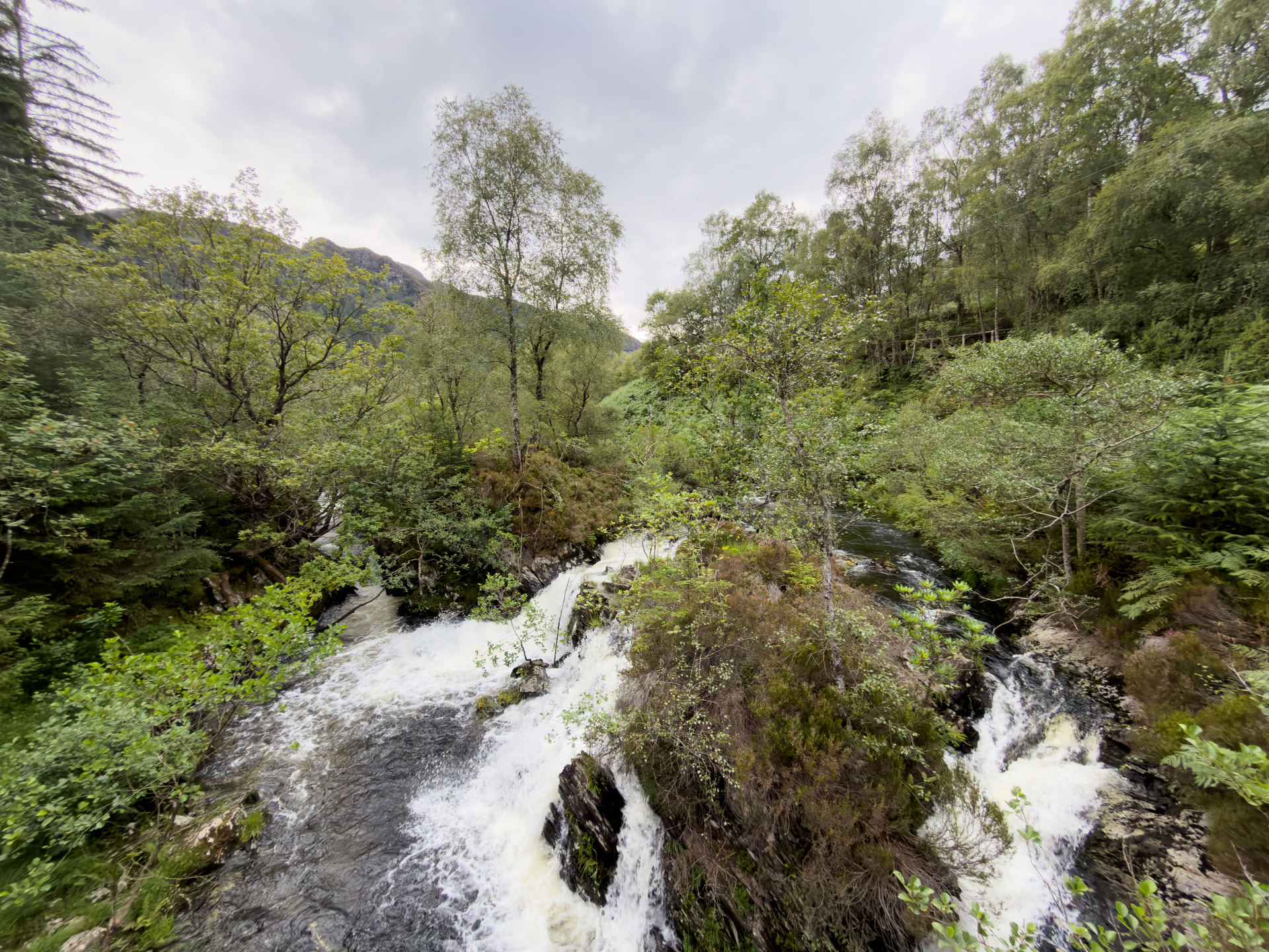
The trail up is a nice and easy one until it isn’t. It’s well waymarked, and rises gradually (until it doesn’t), so I was lulled into a nice false sense of security with mostly runnable trails meaning I could cover a lot of distance and gain a reasonable bit of height without too much hassle. It was only as I really started to turn the corner and see the gentle rise of Gleann Riabhach turn into more of a corrie wall that I realised there might be a bit of work required ahead. Sure enough, the last kilometre and a half to the summit were probably a good bit harder than the previous five and a half combined.
On the steep approach towards the summit, it starts to turn into proper hillwalking in places, and even gets into what I’d call a Scramblette in places. You know, the kind of thing where you might need to use your hands here and there, but not enough to really call proper scrambling? I opted to head to the bealach between the twin summits, and then break off north-west to the “real” summit. It’s initially confusing, as the trig point and the marking of Ben Venue on the OS maps are on the south-eastern top at 727 metres, but the true high point, and the SOTA are on the north-western top at 729 metres. It’s worth being careful if you’re activating, as the low point between the two peaks sits below the 700m contour, so if you’re on the south-eastern top, you’re outside the activation zone.
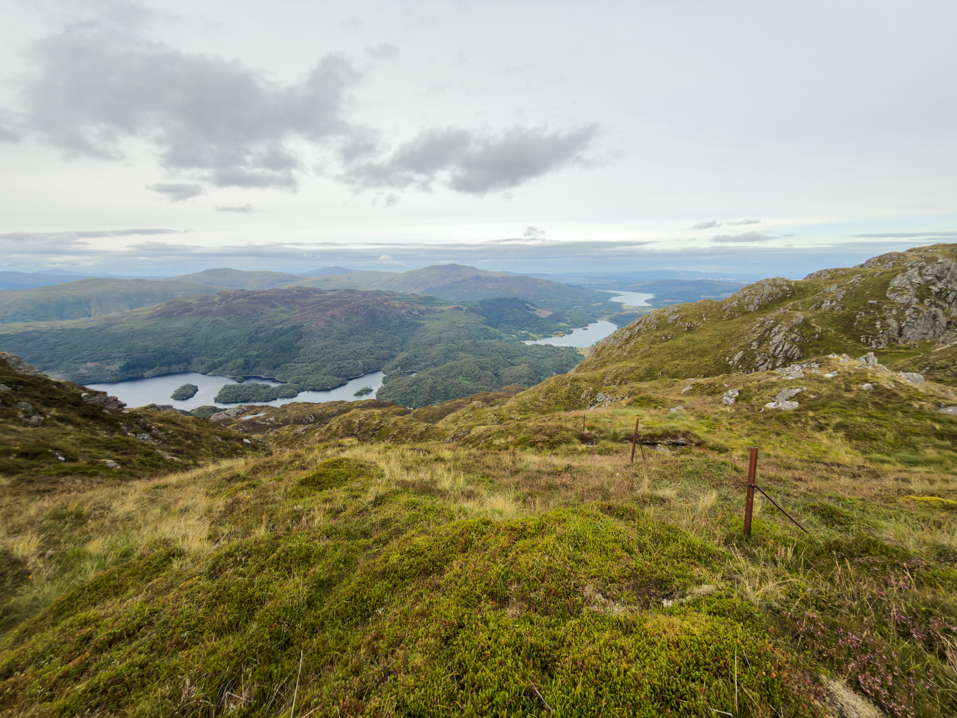
The summit itself has a couple of wee outcrops to choose from - on a Sunday afternoon I might’ve been thinking of picking somewhere quiet, but as I’d only seen three people heading down and nobody else daft enough to be heading up at that time of night, I just picked the one with the most comfortable looking rocks to sit on. It’s a lovely hill, but it’d get a pretty low score for rock chair comfort rating, a bit too craggy for comfort.
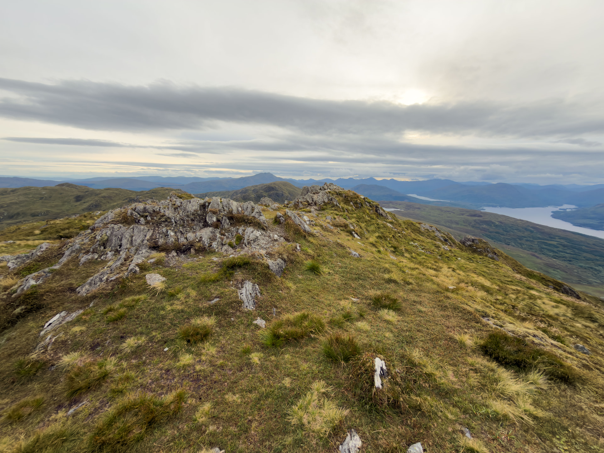
Radio-wise, I was using the Yaesu FT-270 with the Slim G antenna, and a 4m fibreglass pole. I didn’t bother guying it out, just propping it up between the back of my leg and my shoulder. Thankfully, there’s pretty good 4G signal at the summit, so I was able to get a spot out and get going nice and quickly. As usual, Peter @GM0VEK was first in the log - I’ve logged 28 summits now, and apparently Peter’s chased me on 22 of them - I think I definitely owe him a pint or two by now! For all Ben Venue’s a western hill, Peter was one of the few contacts in the Glasgow area I made - most of the business was down towards Edinburgh and the east. Seems a wee bit hard to believe at first, but then you realise that Ben Venue’s pretty much looking straight down the Forth Valley - I could just about make out the Forth Bridges in the haze if I squinted hard enough.
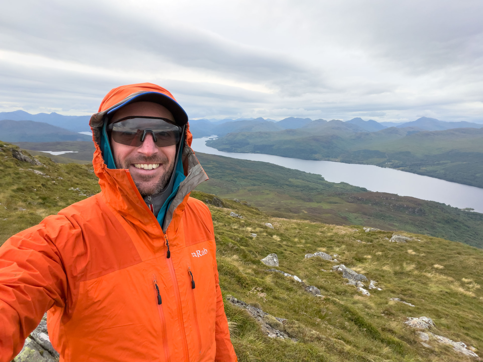
Despite putting on All The Jackets™, I was starting to cool down so I figured eight contacts in just under twenty minutes was good enough, and I put out my QRT spot and started packing up again. Much like on the way up, the last kilometre and a half to the summit required a wee bit of careful footing and picking my way down through the rocks. Sadly, I was discovering that my Salomon Ultra Glide trail shoes were living up to their personal-lubricant-esque name on the rocky bits - they’re great on the soft boggy stuff, but no good at all on the rock slabs.
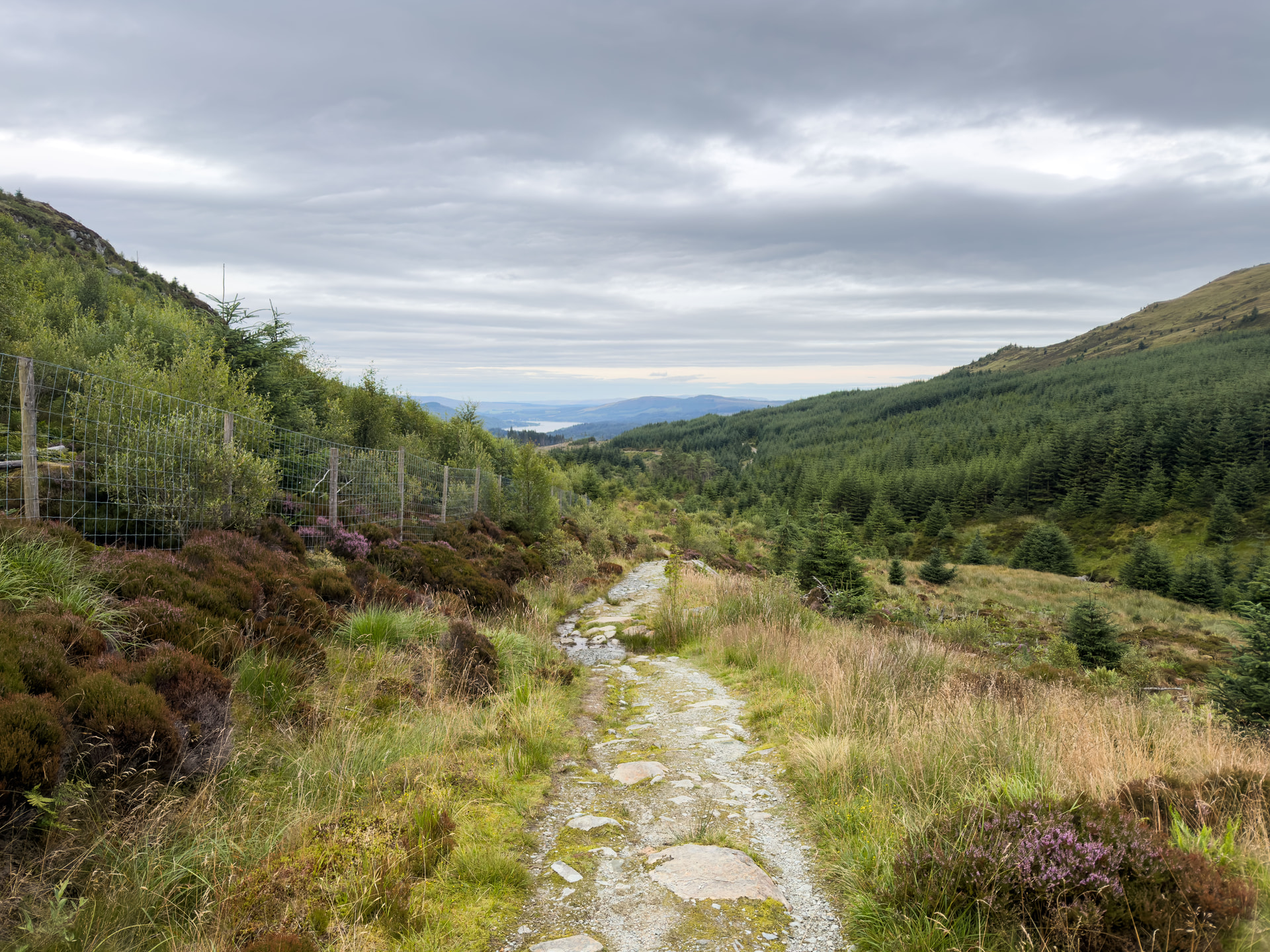
Thankfully though, once the niggly stuff was over, the descent was mostly really enjoyable, and the long gradual drag on the way up turned into a nice effortless(-ish) run back to the car. As I was getting closer to the car park, I started to feel the pack go a bit off balance and start moving about a bit more than I would’ve liked - I had just assumed that something had got shaken around with my somewhat clumsy descending, but as soon as I got back to the car, I realised that my trusty wee pack had decided that hauling All The Jackets™ as well as a 5W handy or two was a wee bit too much for it and decided to part ways with one of the shoulder straps. Black Diamond Distance 15 - RIP (or in fact, just rip).


