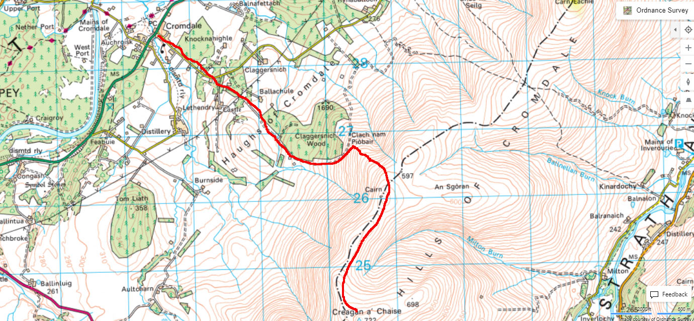
With a better forecast to the North, on Thursday 17th August I headed for Creagan A’Chaise (pronounced Creegan AHasher, according to Walkhighlands), in the Cromdale Hills. I followed the route from the Walkhighlands website, which starts in the village of Cromdale. As there is nowhere to park along the single track access road that heads towards the hill, you have to park in the village and there is a large parking area in front of the Cromdale football club pitch. This is almost opposite the access road, which is just across the A95 - turn past the old red telephone box.
Route up © Crown copyright 2023 Ordnance Survey
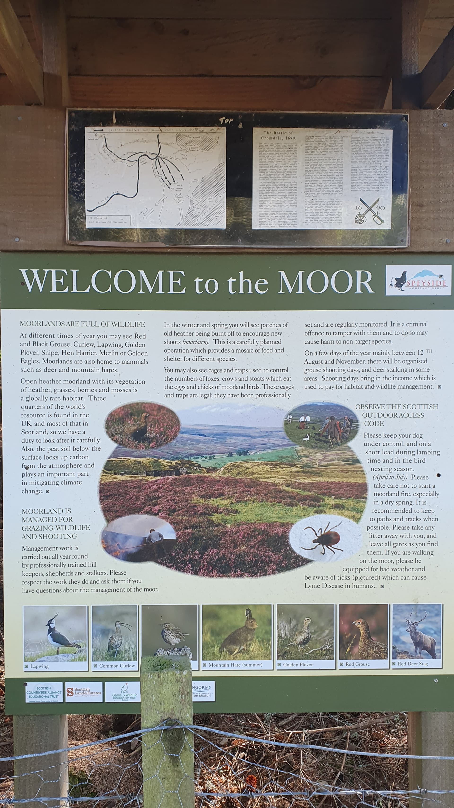
After about 3/4 mile there is a right turn signposted to Lethendry Castle, which is a ruin. A short walk up this road leads to a left turn up to a farm, with a large information poster about the moors and the Battle of Cromdale, fought in 1690 near the castle, where a Jacobite force was routed by the English cavalry.
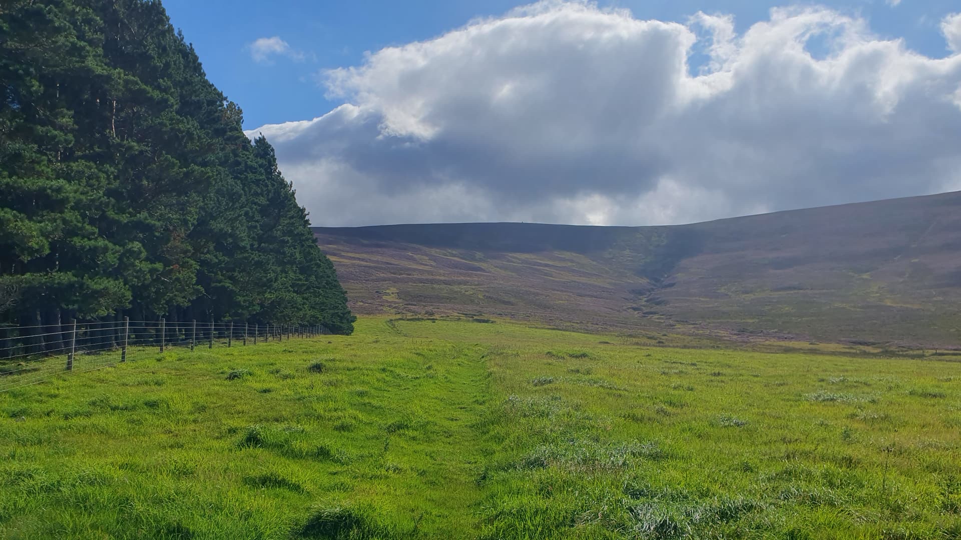
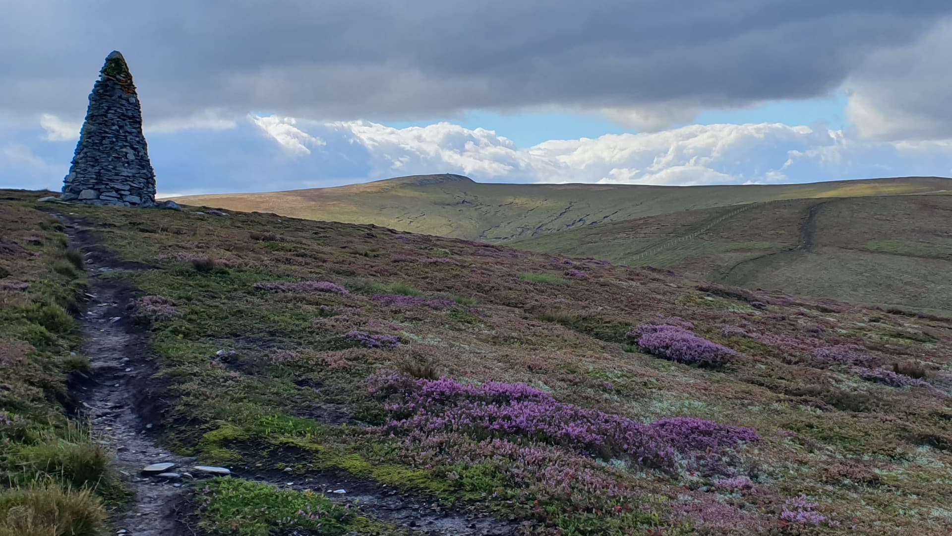
The road continues through the farmyard and then after a couple of pedestrian-friendly gates starts heading up next to a large wood. By this time it is grassy underfoot. Looking ahead, you can see a large cairn on the skyline that marks the north-east end of the ridge - this was built on the site of a bonfire that celebrated the crowning of Edward VII and Queen Alexandra in 1902.
Coronation Cairn on the skyline - (extend the line of the grassy track to the hilltop and the cairn is just to the right)
The grass track turns to a stoney surface, with a couple more gates, the last being closed by a chain. Then you reach a junction, where the main path starts heading down and the path uphill leads off to the right. Just downhill from this point is the Piper’s Stone, next to a couple of isolated pines. Legend has it that a wounded piper from the battle rested against this stone and played his pipes until he died.
The Piper’s Stone
The rough track then climbs steeply up to the Coronation Cairn and the Creagan A’Chaise summit cairn can just be seen on the horizon in the distance. It took me about 1 hour 15m to reach this point.
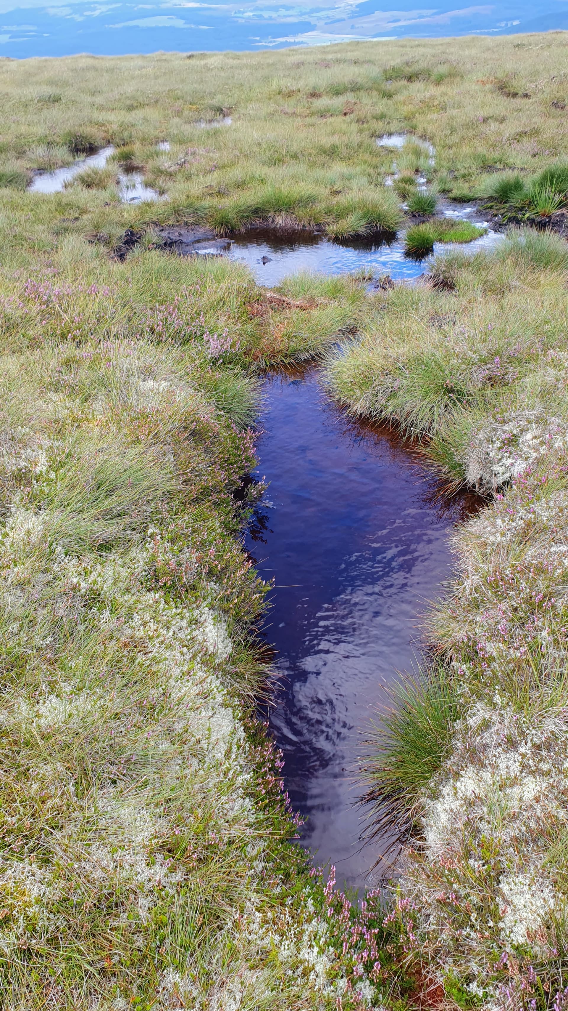
A track heads away from the Coronation Cairn along the ridge towards Creagan A’Chaise but this soon becomes pretty boggy, requiring care and detours every few yards to go round water-filled pools. This quickly became a rather tiresome exercise. I found it best to stick close to the new fence that runs along the ridge crest.
Typical of things to avoid en route
The new fence actually crosses the old path but a pedestrian-friendly gate is provided, for some reason with a large lever action for use by folk on horseback. Can’t see there being much demand for that.
The soggy track then winds its way up to the summit, which I reached at 12:20 local, for a total walk of just over 2 hours.
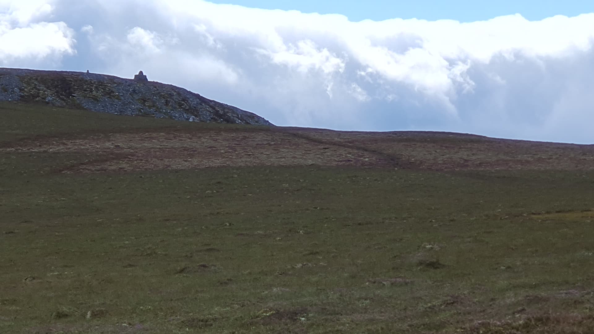
Approaching the summit
Views from the top
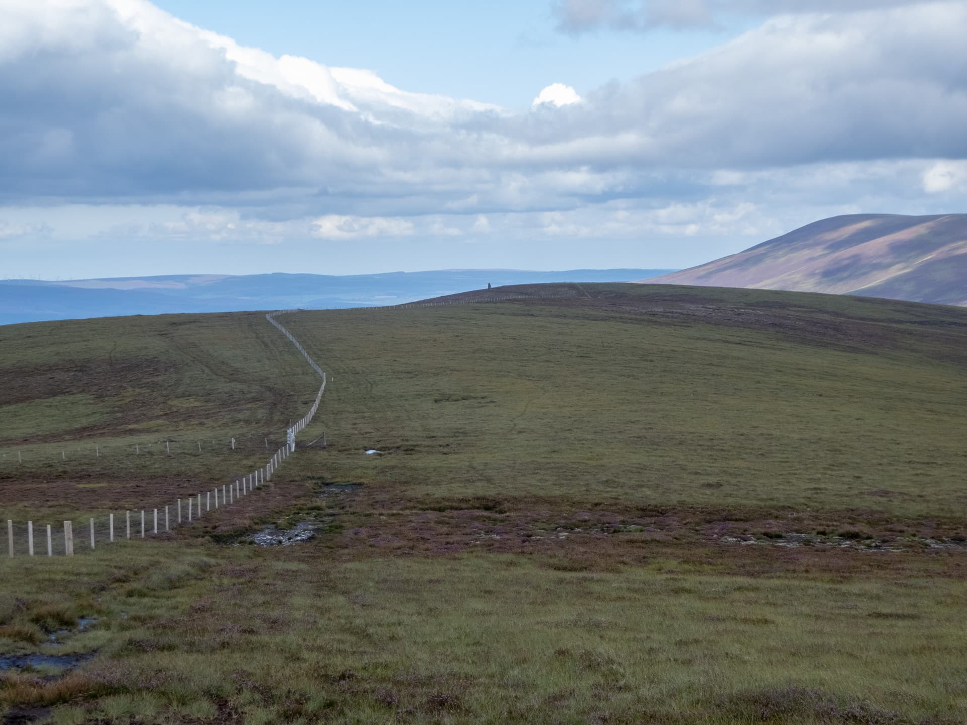
Looking back down the ridge-line fence towards the Coronation Cairn
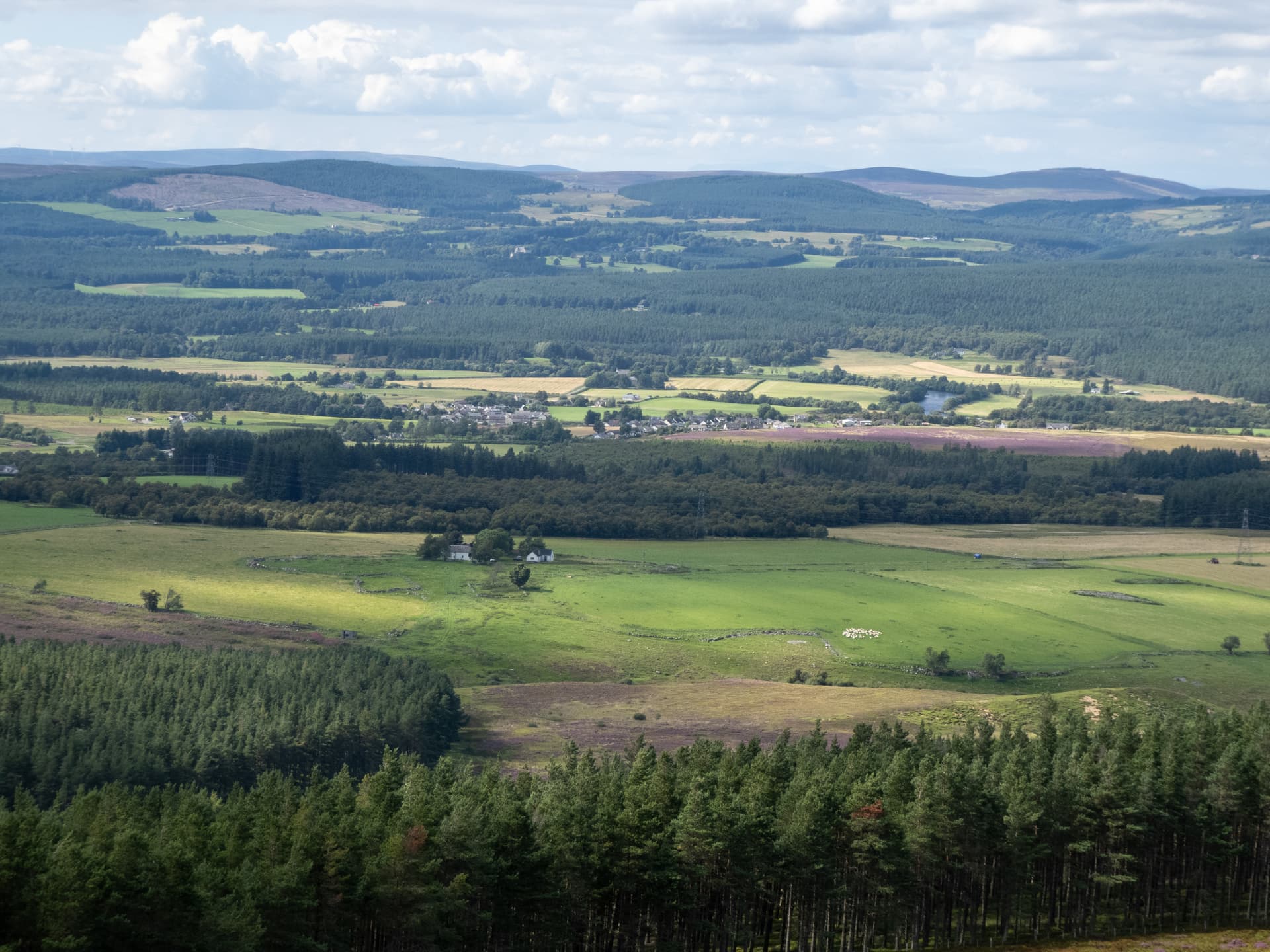
Cromdale village
Activation
857d, 20/40m Sotabeams linked dipole. Note used: delta loops 17/15/12, moxons 10/6
With a SE gale blowing, I set up close to the large summit cairn which provided excellent shelter. The trig point is close by.

I started on 20m at 1237 local, which seemed rather quiet, and got 3 S2S in the log. A spot then produced a run of 20, all EU, and no short skip. Switching to 40m, Mike MM7MWL, was first in the log followed by another 14, all G apart from ON7MD, plus 3 more S2S, notable for a Simon-to-Simon with G4TJC/P and a longer chat with Stewart, GM4ZOA, who was testing a new antenna. I was about to put the 17m loop up, when I noticed some heavy looking weather coming up from the SE. Unfortunately the phone signal I had was too poor to download rain radar images, so I couldn’t check whether I was liable to be hit or not. I didn’t fancy a soaking or a long descent in the wet, so I decided to pack up with just 38 in the log and at just under 1 hour, the shortest activation I have done.The gale by then was blowing even harder.
As it turned out, the heavy weather stayed away and I probably could have continued longer but I found going down took longer than going up, particularly the steep section going down to the Piper’s Stone. My legs/knees were pretty thankful to get back to the car at 16.30 local and I don’t think this is a hill I will be returning to, even to look for the bottle of whisky that Fraser, MM0EFI told me has been hidden somewhere in the summit cairn.
Thanks to all other activators and chasers.
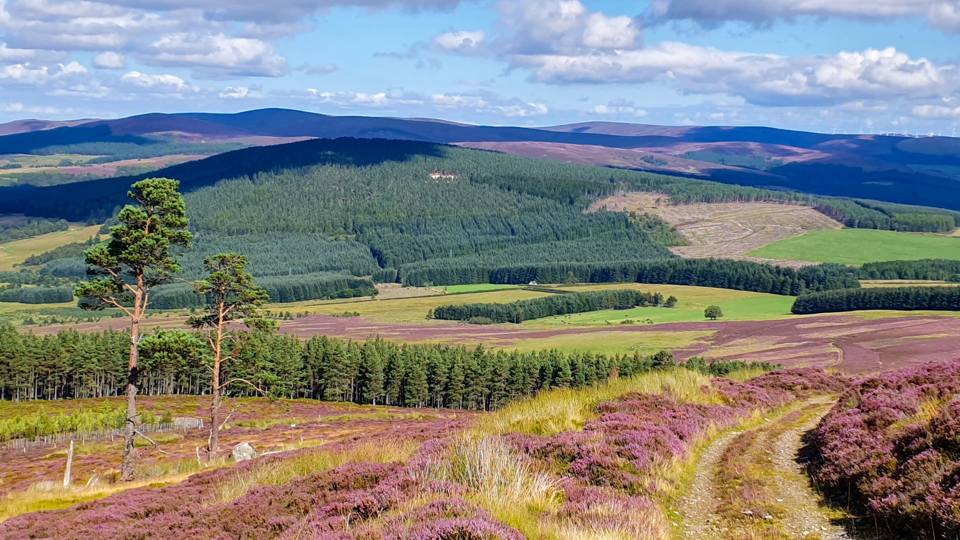
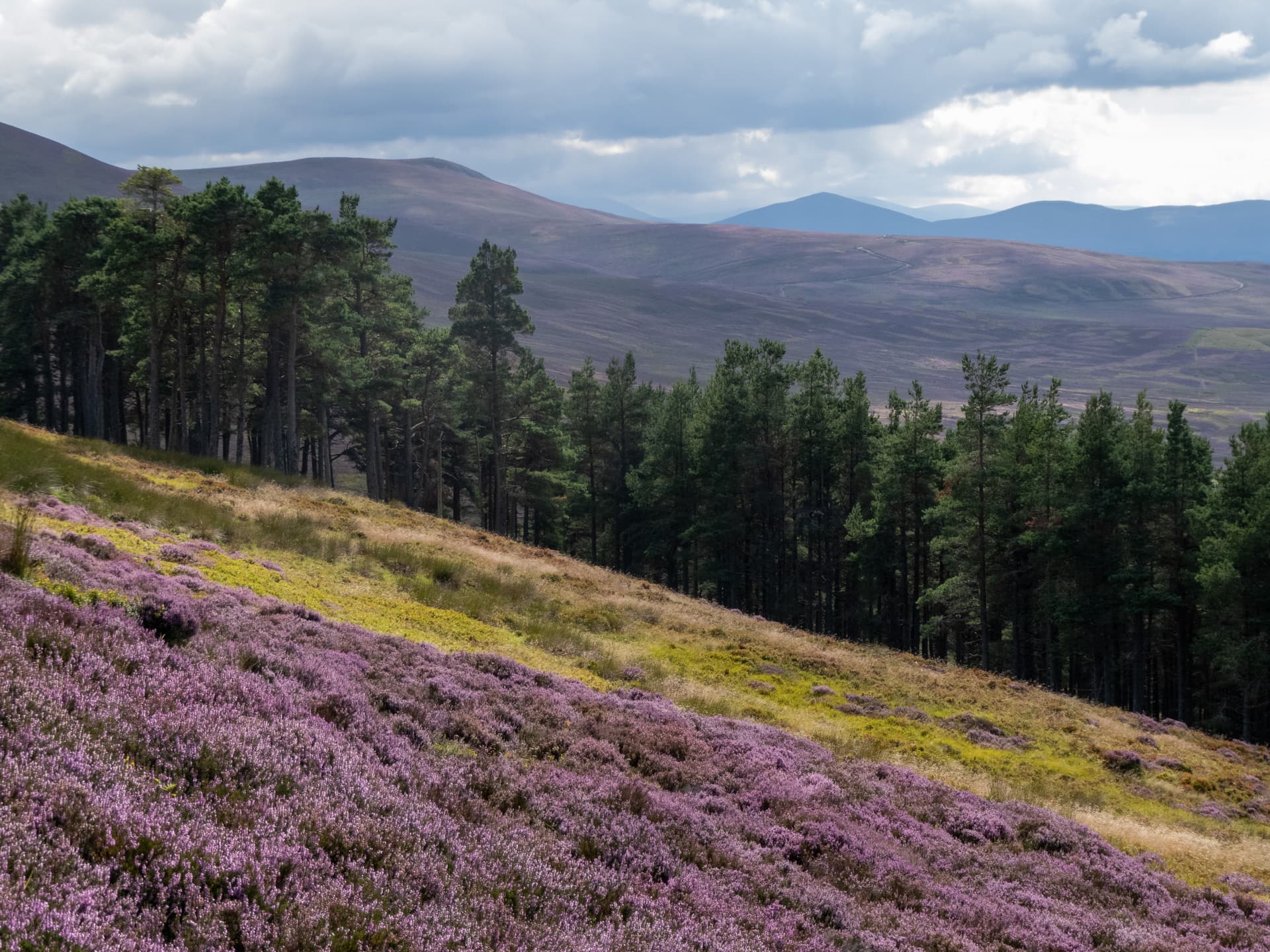
Views on the way down
Ben Rinnes on the horizon and some nice heather colour
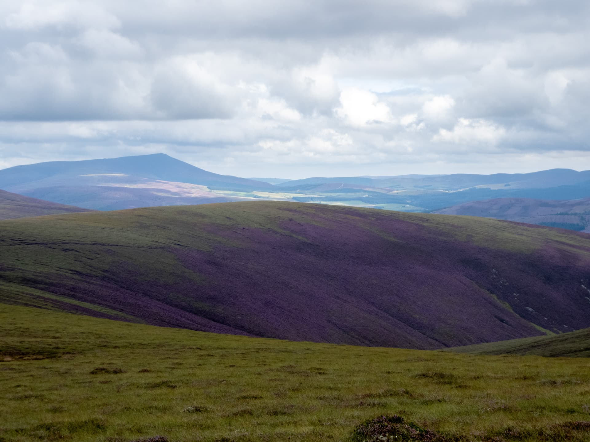
Looking South towards the Cairngorms
On passing through the farmyard, I noticed an abandoned tanker parked up. I wonder where the original contents ended up?
