The forecast was for some showers with cloud cover on the highest hills possibly coming down to lower level, with north being slightly better than south. We chose the Corbett Carn an Fhreiceadain because it would be a complete for both of us and had tracks to the summit which would minimise any navigational difficulties if the clouds came down. We had the option of combining it with the smaller Creag Bheag if time allowed.
We parked in Kingussie in the car park just off of the road running to the west of the Gynack Burn. It was cloudy but dry as we set off north along the minor road running above the valley, passing an ornate looking hospital. Just before the golf club and caravan park we turned right over a footbridge. This had an interpretation board explaining the Kingussie Community Hydro, with a view to the weir above the bridge and the small turbine house below the bridge: only 15kW but every little helps. Up the other side to a road which headed north through trees, turning into a track with views opening up as it crossed the golf course. We followed the track as it ran along the east of the Gynack Burn, passing the imposing gates protecting the bridge to Pitmain Lodge and eventually emerging out of the trees onto the open moor. There was clearly work going on in the watercourse here, with a concrete construction which looked as though it might form part of a future small hydro scheme.
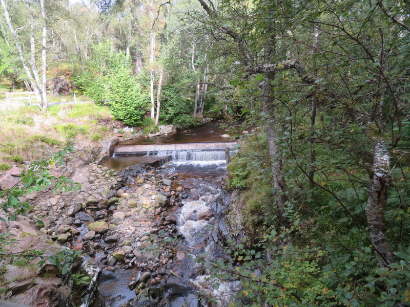
Kingussie Community Hydro
It was dull with cloud cover and signs of rain in the distance, but we mostly avoided the worst of the rain, only getting slightly wet. The walk to the summit along the track was a bit of a slog, and once out of the trees we were subjected to increasingly strong winds. We passed a smart looking green bothy (grouse shooter’s hut), and finally made it to the windy summit of Beinn Bhreac. From here we turned west as the track meandered its way down about 30m to cross a valley before rising to another top which still wasn’t the Carn an Fhreiceadain summit, though it looks to be in the activation area. Another slight dip and we finally made it to the trig point which is surrounded by a low and incomplete shelter.
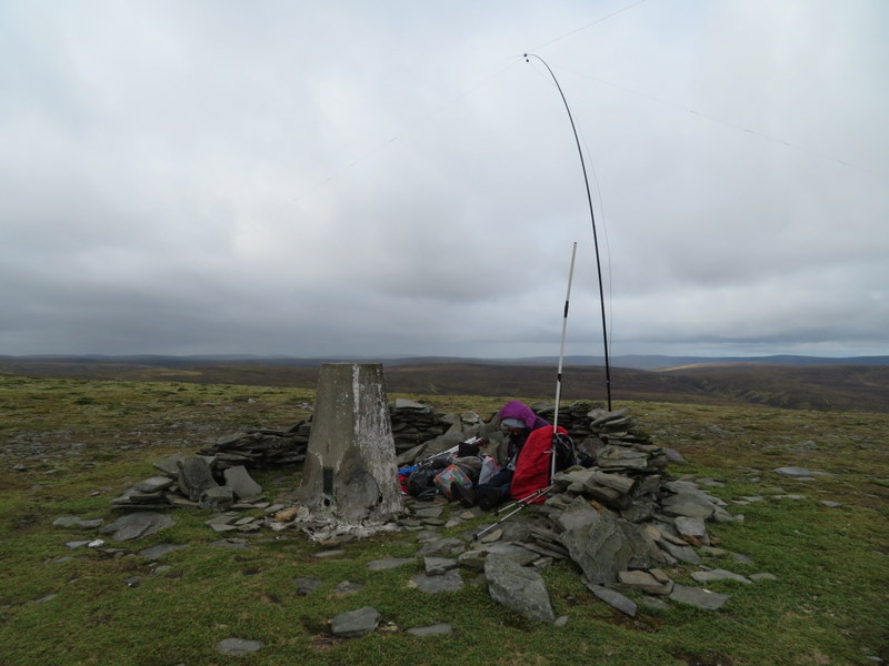
Summit shelter

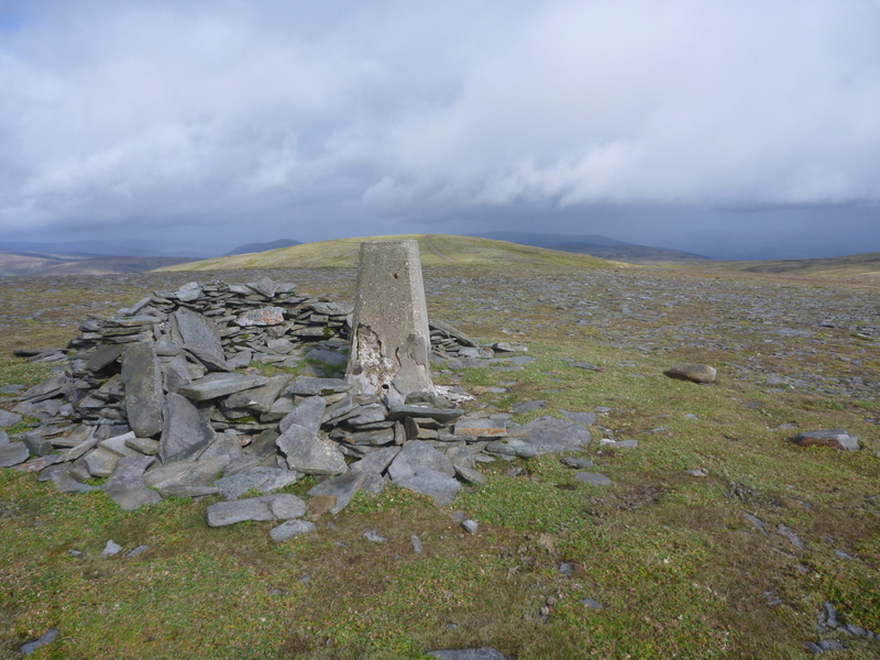
Towards Spey Valley
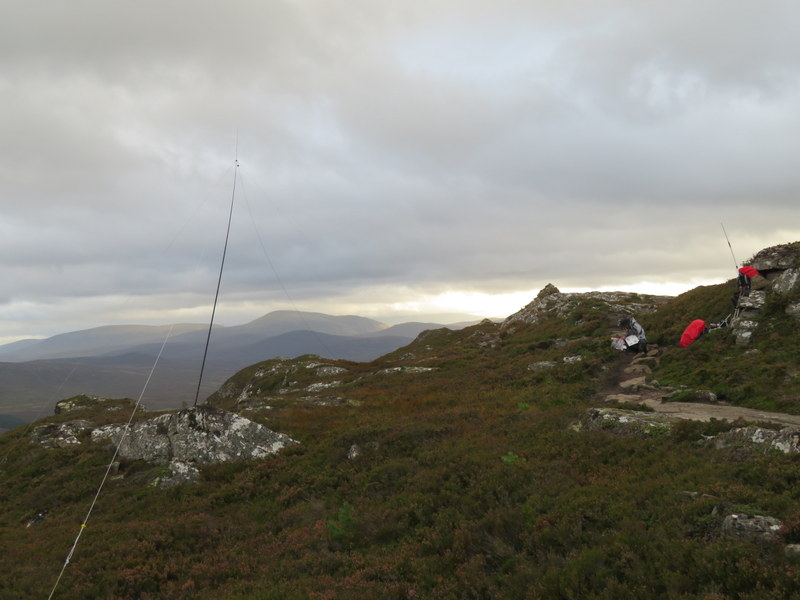
Looking North East
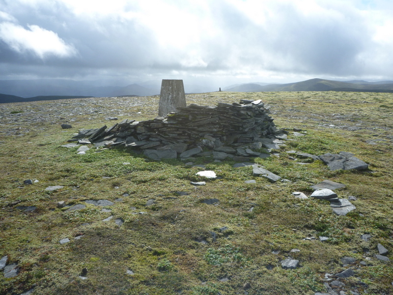
and in the opposite direction towards cairn at SW end of summit. Better weather as we leave!
It was extremely windy at the top, so we tried to get what little protection we could from the shelter. Multiple extra layers were applied, and there were rare glimpses of sun as well as swirling cloud and occasional dampness. Caroline managed to get just one contact on 2m FM: the only 2m contact from any hill in this trip that wasn’t an S2S: a call on 145.575 responded to by Ray GM3PIL, who works any SOTA activators he can hear in this area: all the other hills we did were further south and I guess out of his range. Martyn managed to get just 5 contacts on 60m before handing HF over to Caroline for 40m which yielded 15 contacts. By this time with lunch eaten we were rather cold, so packed up in the hope we could get a second summit in.
The descent route over Meall Unaig and down the Allt Mor valley had more interest than the open moorland ascent. The track re-joined the outbound route north of Pitmain Lodge and we headed south on the track trying to locate a footbridge over the Gynack Burn. It turned out that Caroline’s less than perfect eyesight, probably combined with wishful thinking, had thought that there was a footbridge over the Gynack Burn about 500m south of the Lodge, but it was actually over a tributary. Instead we needed to carry on back to the golf course, where a signpost led us to a footbridge, beyond which another sign pointed right for Creag Bheag.
We continued following various signs to either or both of Creag Bheag or the golf course circular walk through woodland round the golf course until we came to a path junction near Loch Gynack. Here we took the path slightly left which finally starting to climb the hill through heather. We came to a junction where the circular walk went left, with a narrow path straight on heading up towards Creag Bheag. We weren’t sure that we would have time to activate the hill, but it was as direct a route as any back to Kingussie so up we went on the steep stepped path through pleasant woodland and heather, eventually emerging onto the rocky top. The true summit was a bit further on and marked with a cairn (though there were other high points).
We assessed that we would just have time to try an activation, though the weather was looking threatening. Caroline set up VHF propped up against a rock offering a little protection against the wind, but wasn’t surprised when she got no responses on 2m FM. Meanwhile Martyn had contrived to find a way the get the HF antenna up in the undulating rock and heather. He qualified with 7 60m contacts. Given the late hour Caroline decided to try 80m first, but unfortunately only got 3 contacts so had to move to 40m. After 11 contacts there it went quiet, so as time was getting on, so we packed up. We had some rain, needing us to apply waterproofs, but didn’t get seriously wet.
Creag Bheag
We headed slightly east of south of the summit, picking up a path by an intermittent wall, and entering woodland where a path bent east to take us into the edge of Kingussie as we began to lose the light. Having dumped rucksacks in the car, we walked into the town to investigate the fish and chip shop, which we wanted to use on Friday. Being Monday the shop was closed, but it looked good, and we worked out possible parking closer than the main car park.
Despite the less than perfect weather it was a good day, but we were tired after 13.5 miles and two summits.