I have just been looking at the West of Scotland Sotas I activated back in 2014 and note that the Glas Bheinn true summit (330) has been moved about 500m NE and re numbered (349).
When I activated the hill I used the 50,000 map and the spot height was shown as 394m alongside with the trig. On the contemporary 25,000 map the higher summit at 397m can be seen. the col between being at least 27m if the contours are spot on.
Well spotted map men.
a trip for Connoisseurs of SOTA… Couple of nights in the excellent Glenelg Inn, walk from the Inn round the bay to do the hill and back in the bar at 1600 supping a nice local Dun Beer!
We had a great week in Glenelg last summer, zero rain. Love to do it but unlikely I will manage this summer.
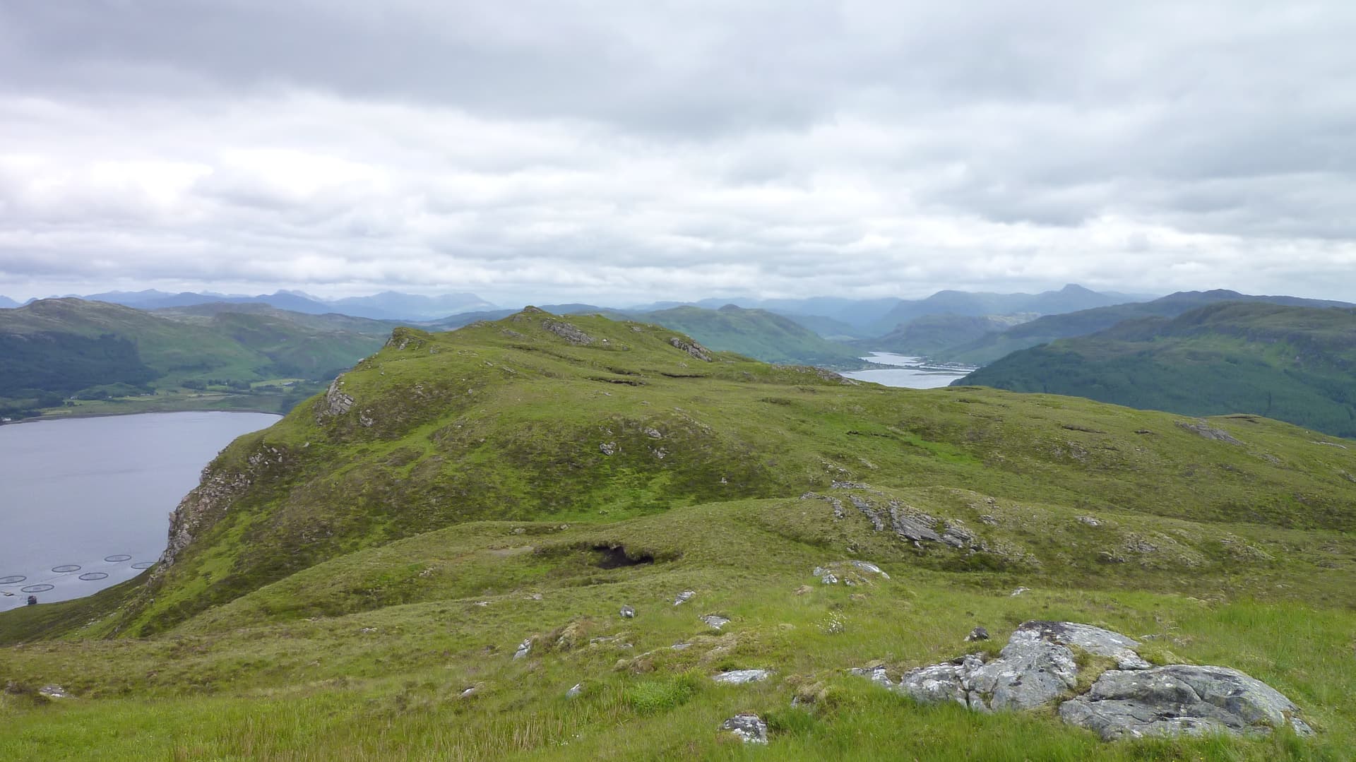
Mo and I have done the coastal trail around there a couple of times. It’s wonderful countryside. We saw otters, various sea birds, and pansies in February, however my lasting memory of it is the huge pylon taking the HV lines over to Skye.
I never fancied the look of the hill, but that was before SOTA…