Cadair Berwyn backpacking trip. An excellent outing up until reaching the 832m ASL summit of GW/NW-012, but a catalogue of schoolboy errors thereafter!
I was wide awake at 5am on the Tuesday morning, so I got on the road to make the most of the day. The opportunity was taken to bag 4 easy summits before the main one.
Long Mountain-Beacon Ring GW/MW-026
7 QSOs, all 2m SSB
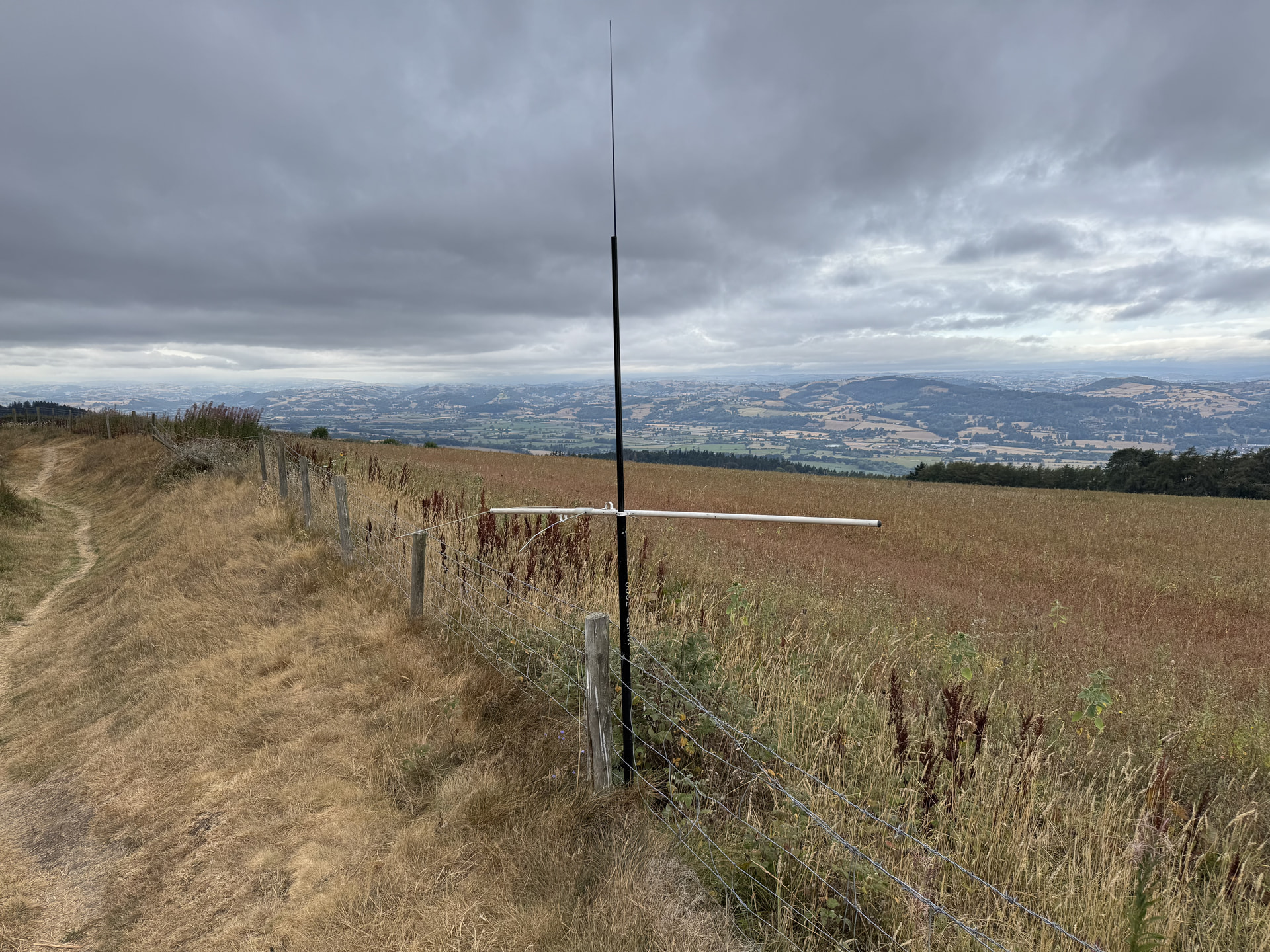
Y Golfa GW/NW-061
7 QSOs, all 2m SSB
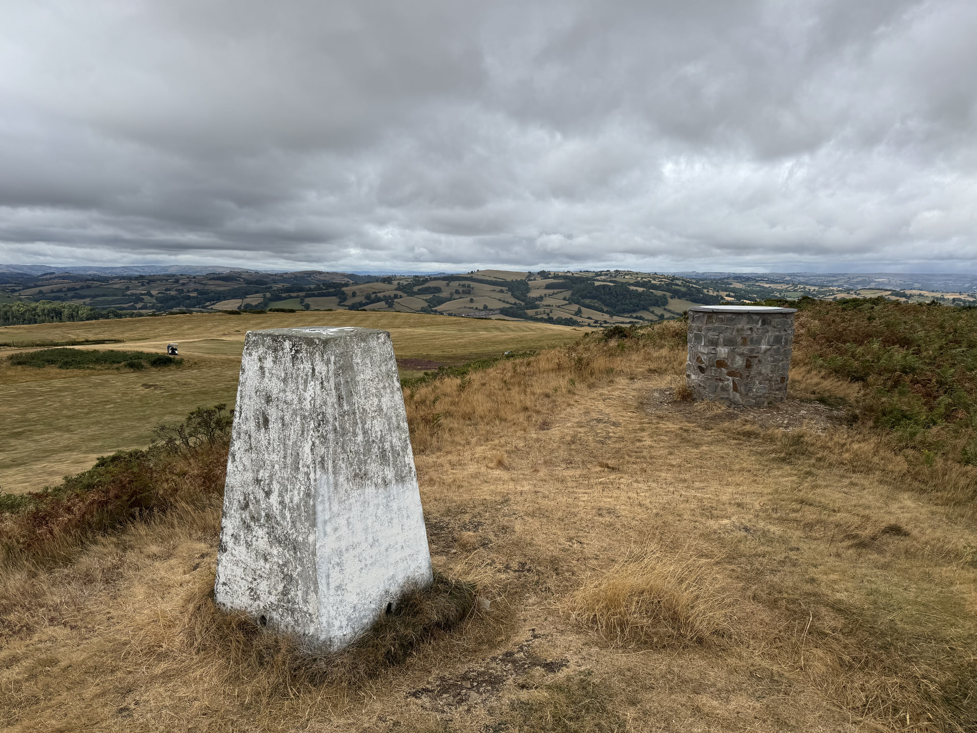
Stingwern Hill GW/MW-030
4 QSOs, 3 on 2m SSB, 1 on 2m FM
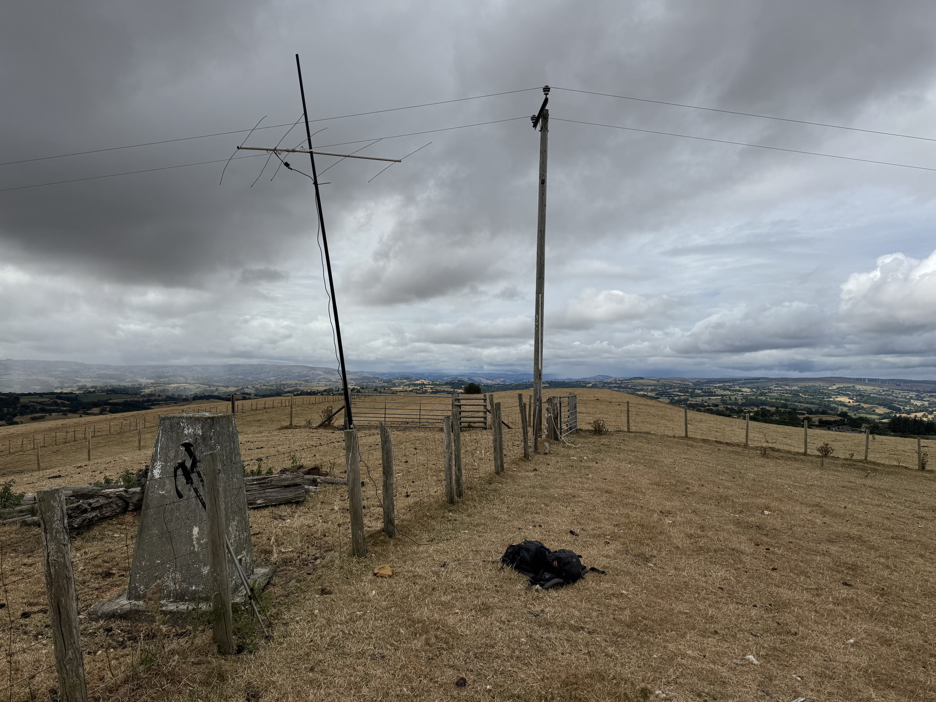
Mynydd-y-briw GW/NW-060
4 QSOs, 3 on 2m SSB, 1 on 2m FM
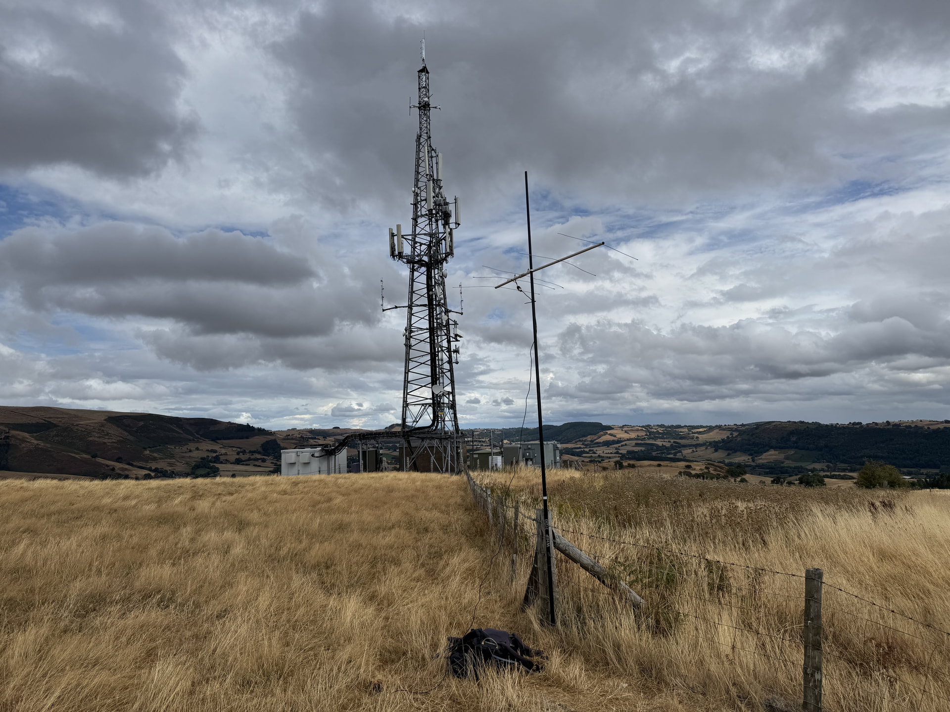
Running a bit late by this stage, but still got to Tan y Pistyll cafe in time to book in secure overnight parking and grab a hot meal.
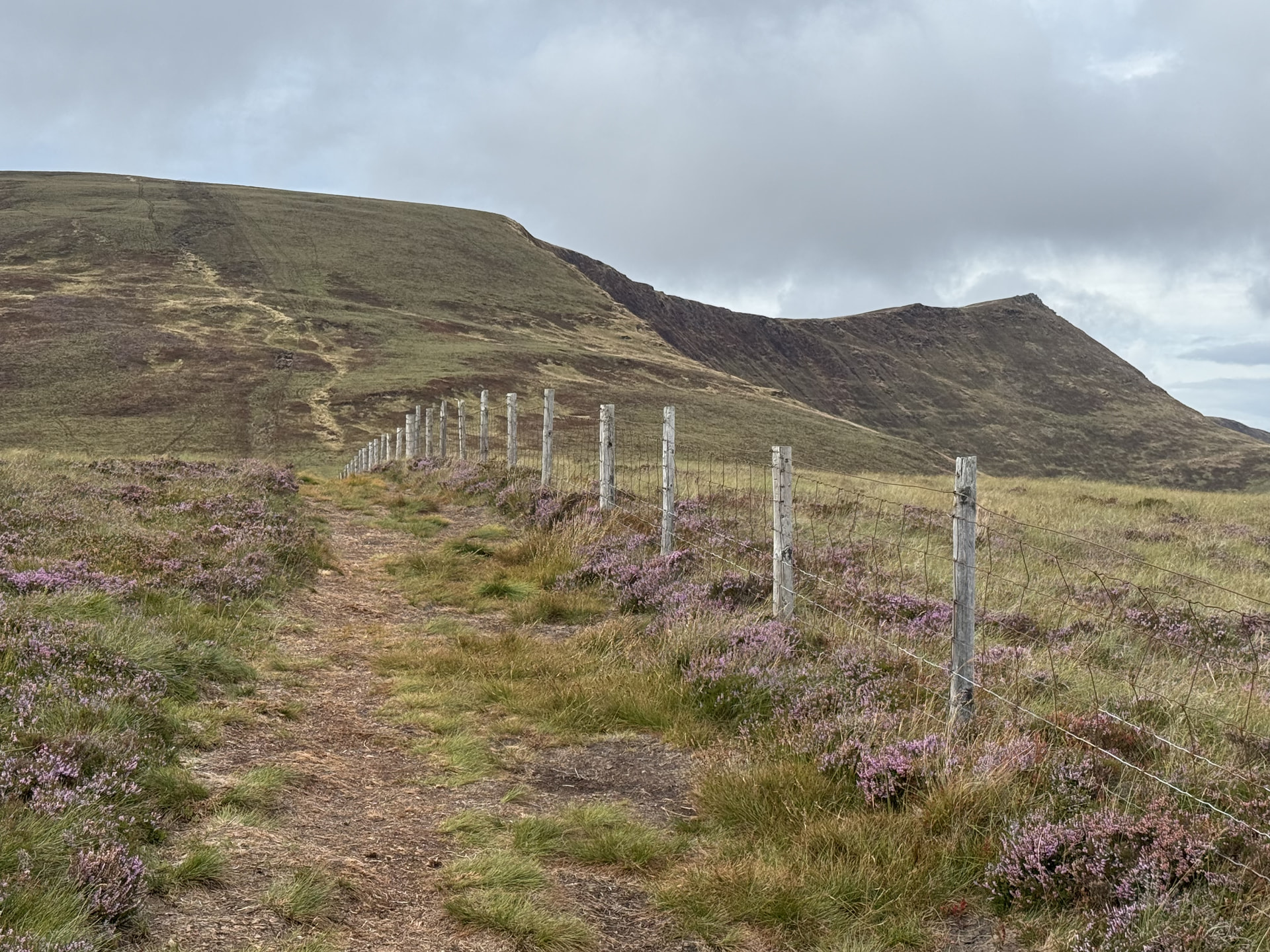
The ascent went really well. I reached the 832m summit of Cadair Berwyn in 1 hour 55 minutes. Won’t win any fell races - but not bad at all for me!
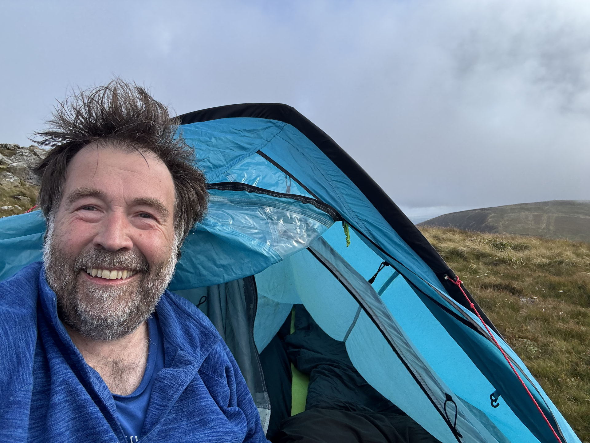
All good so far, but then the problems - and the mistakes - started! In fact one might have already happened. I hadn’t really checked the maximum gusts on the weather forecast. If I had, I would have realised I’d be in for a very poor night’s sleep in a backpacking tent!
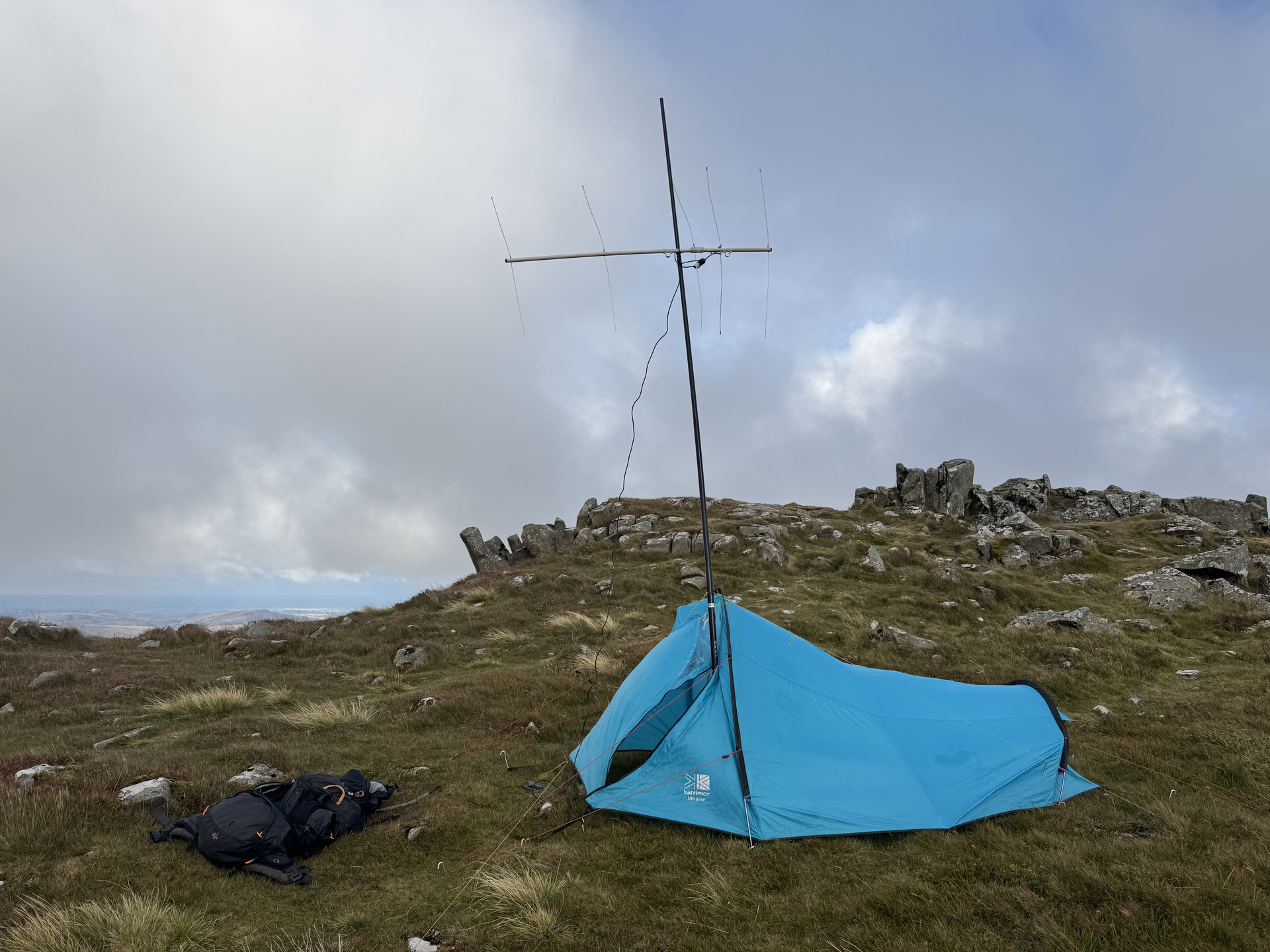
I should have perhaps pitched the tent in a lower more sheltered spot, and walked up to the preferred contest site position. But I pitched the tent very close to the summit, and operated from there. Carefully hanging onto everything and trying to keep the inside of the tent sheltered and dry was hard work, and really slowed my over rate down, thus negating any advantage from my position with excellent take-off to the East.
102 QSOs made, 33 on 2m FM and 69 on 2m SSB. Was hoping for 30-50 more than that really!
The fierce wind was forcefully blowing the outer of my tent onto the inner. Coupled with very heavy rain in the middle of the night, and plenty of wet got inside the tent. My pillow and sleeping bag were soaked by dawn - yuck! I managed just under three hours sleep - which was actually more than I was anticipating to be honest!
The rain was still heavy early morning, so I waited before unpitching the tent. 5 QSOs were added - 4 on 2m SSB and 1 on 2m FM.
I got packed up pleasingly swiftly, and my rucksack didn’t feel as heavy as the previous day. I got into a good stride and was soon on Moel Sych and looking forward to a nice cooked breakfast in about an hour.
Cue the next mistake. A really bad and stupid one. Being on my own, not responsible for anyone, and hugely overconfident, I didn’t check the map or take a bearing, I just marched on down the path. Only 30 minutes later, and having descended around 200m did I start suspecting I’d gone the wrong way. I checked the map and sure enough I was way off course.
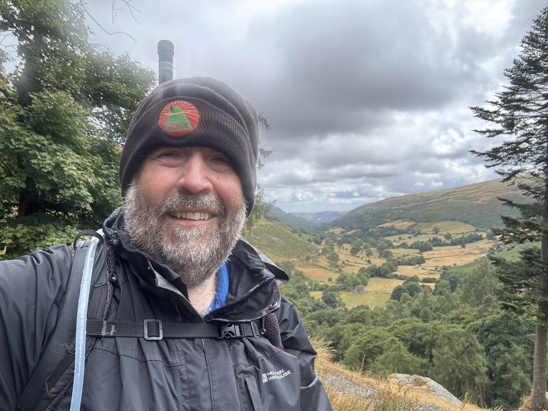
Cue the next mistake. Instead of taking the soul-destroying but sensible option of retracing my steps back up the hill, I tried to contour around the hill to pick up a marked path back to the waterfall.
This only led me onto really horrible ground, difficult underfoot, some steep muddy descents, three tricky river crossings, fence climbs, bashing through dense shoulder-high ferns etc.
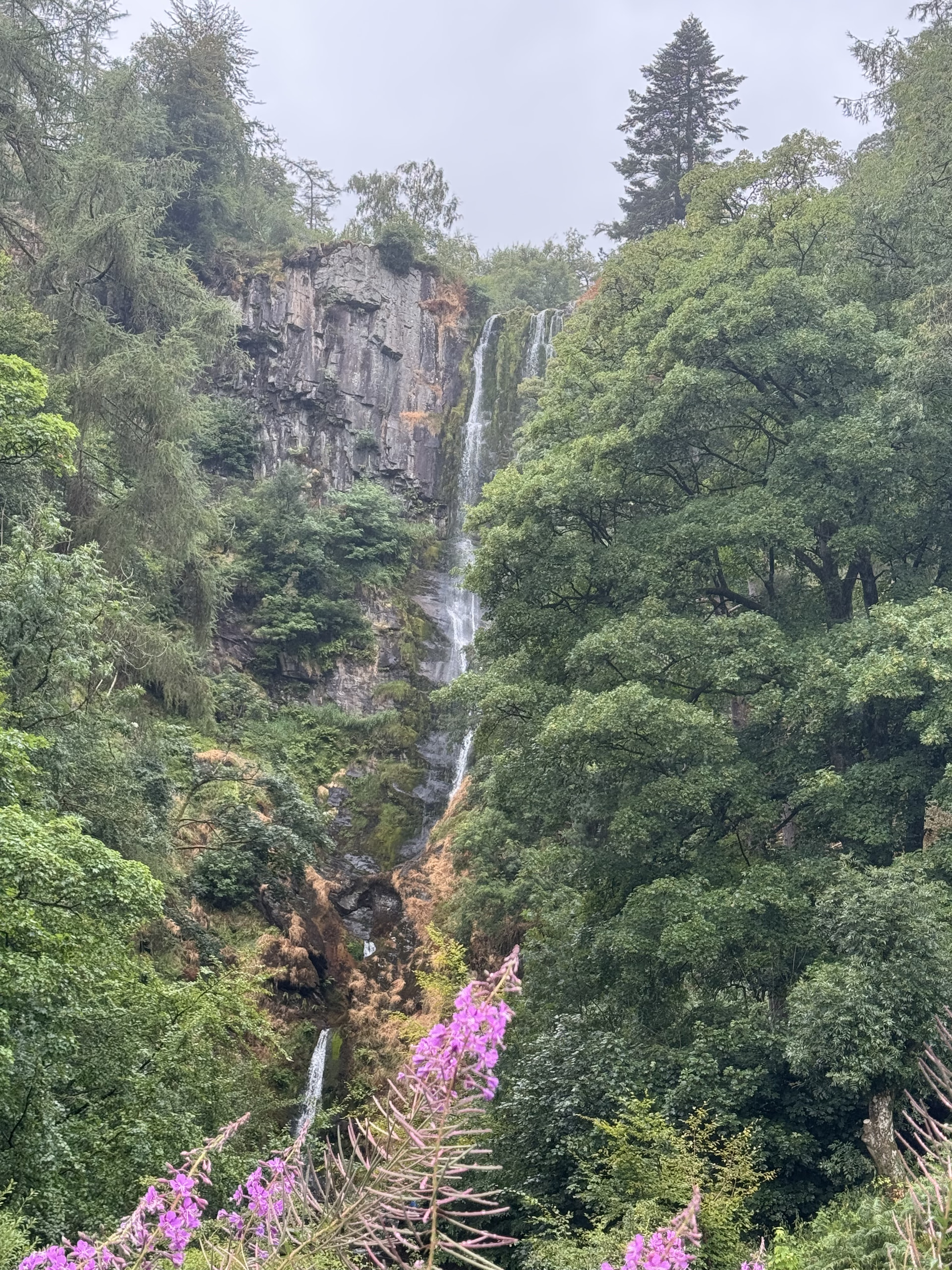
By the time I’d eventually rejoined the correct path, close to the top of the waterfall, I was an exhausted, defeated and broken man. And I must have looked it too - when a young lady in white trainers with the tiniest of backpacks asked me if I needed some help getting over a stile…
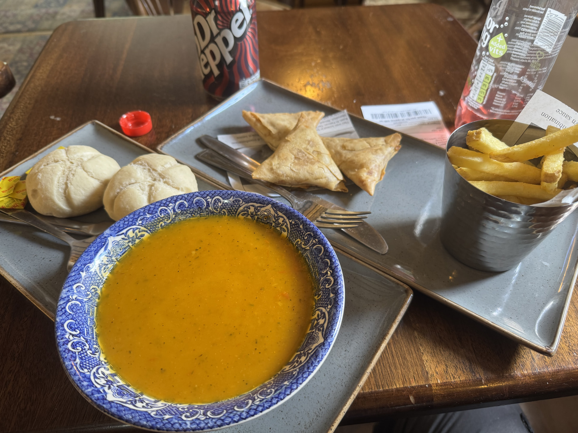
When I did reach the cafe, I couldn’t decide between the homemade vegetable soup or the homemade vegetable samosas and chips. So I had both, and devoured them with two cans of cold pop.
Moral of the story? Don’t get complacent. Don’t make stupid rookie level mistakes when you’re experienced enough to know better!
Anyway, one possible positive outcome - I went to my local Go Outdoors yesterday for a couple of pairs of desperately needed new walking trousers. My waist size is down two inches! So maybe the unintended extra exercise is good for me 
