G4YSS: PA/PA-006 Signaal Imbosch on 15th September 2022
Issue-1
Activation of SIGNAAL IMBOSCH PA/PA-006 - 1 point
G4YSS using PA/M1NNN/P (not the former clubcall GX0OOO/P)
Bands: 20m CW & 40mSSB
All times: CET (UTC plus 2hr/ BST plus 1hr)
EQUIPMENT:
FT817ND HF/VHF/UHF 5W Transceiver
MX-P50M, 50 Watt HF Linear Amplifier
Link dipole for 80m thru’ 20m
Home-brew 6m Alloy/ CFC mast with one 1m end-stick and a tree branch
Home-brew tunable loading coils for 160m (not used)
HRB 11.1V (nom)/ 5 Ah Li-Po battery
J-Pole for 2m FM (not used)
Garmin GEKO-301 GPS
Reserves:
IC-E90, 4-band, 5W VHF H/H (not used)
QRO pack: Approx 9kg (20 pounds)
INTRODUCTION:
This was our third Arnhem week since 2006, staying at the Bilderberg Hotel in Oosterbeek for the 78th anniversary of operation Market Garden. My Wife Denise’s father Leonard landed just west of there at LZ-Z in a Horsa glider on the 17th of September 1944 and was eventually evacuated across the Rhine on the night of the 25th.
After communicating with Hans PA0HRM, who is the SOTA manager for PA and also a volunteer at the new Arnhem Bridge Museum, it was decided that we would do a joint activation of the local SOTA, PA/PA-006 Signaal Imbosch, either on the 19th or 20th of September, weather permitting. The forecast was for showers by then so just to be sure and having three hours to spare, I went up with my equipment in the late afternoon.
Hans and I put this one on the air together in 2019 and he kindly drove me there. I went back a few days later, getting horribly lost in the process due to the SATNAV having little or no knowledge of the minor roads and tracks in Veluwezoom National Park forest. This time I was better prepared with lots more waypoints. These days I use my M1NNN callsign when abroad. I can’t give any particular reason for that other than ‘a change is as good as a rest’ and to air it once in a while. It’s quite good in CW too.
EXECUTION and ROUTE:
The decision to go was sudden and I had no thought of alerting. Instead I was relying on phone spotting, assuming there’d be a signal. The drive up a minor road, snaking in places, goes through a very large forest. At N52.03694 E5.99090 there is an area on the left where several cars may be parked.
Walking from there, the track starts across the road going NE via N52.03717 E5.99109 and N52.03851 E5.99385, then turning right SE at N52.03928 E5.99617 on a wide sandy track. The final part is via a path, which leaves the track at N52.03772 E5.99838, going NE to the summit. The marker is a small concrete block with a cross cast into it at N52.03825 E5.99877 (110m ASL).
On the way there is a WW2 German fighter tracking station in ruins at N52.03797 E5.99303. This was shown to me by Hans in 2019. Distance walked one way is 800m with an ascent of 16m and walk duration of 8 minutes. After a brief visit to the summit proper I backed off a little, setting up beside the wide sandy track at N52.03719 E5.99838. This is much quicker because it avoids all the grief of snagging antenna wires on encroaching tree branches.
SIGNAAL IMBOSCH, PA/PA-006, 454m, 1pt. 15:50 to 16:52 CET. 17C, Slight breeze, overcast/ sunny. LOC: JO22XA. Almost no phone coverage at the QTH and no pre-alert.
14.061 - 7 QSO’s:
Plans had to change after the sight of the phone’s ‘signaal’ meter. Without delay I tuned in the well known SOTA channel of 14.061, calling ‘CQ SOTA’ in rather error-plagued CW due to lack of practice. It took a while to get a reply but not nearly as long as I’d feared. After a slow start, a few more stations found me. Whether they were all after my SOTA or not is debatable but I did recognize at least one regular chaser which was Jukka and I was very grateful for every QSO.
In the log from 14:15z: EA1AAP Fernando 599 both ways; RW4K Alexei in Russia 599/579; OH3GZ Jukka 599’s; EA1AER Juan 599’s; SV2NCH George in Katerini 449 both ways; OH6NPV Rauno 599’s and US4IDY Igor somewhere in Ukraine, 599/ 559.
After Igor the frequency dried up and I didn’t enquire further. I was very pleased to work into Ukraine and also Russia. We ordinary amateurs should keep talking and stick together. Power was 50 Watts to the inverted vee at 6m centre height.
7.160 SSB - 1 QSO:
The only station worked on 40m was Peter MM3PDM/M when the WAB net controller asked for check-ins for NF85 square; a timely gift. I could hardly call into the WAB net otherwise, apart from offering them my overseas book number which is a weak excuse. Peter was doing a WAB mobile run on on the island of Benbecula. We exchanged 44/ 59 but there was no time for any more activity. I needed to pack up and go as we were due to attend the Arnhem Fellowship annual meal at Lebret Hall that evening.
Descent:
Hardly a descent as such but I walked off at 16:52. Ploughing through deep sand in places, seven minutes brought me back to the car for an on-schedule 35 minute drive back to Oosterbeek. Job done.
ASCENT & DISTANCE (Start point at 94m ASL):
Ascent 16m (52ft) / Distance 2 x 800m (1 mile total)
Walking times:
Ascent: 8 min
Descent: 7 min
Summit time: 62 min
QSO Total: 8
7 on 20m CW
1 on 40m-SSB
COMMENTS:
This activation wasn’t in the company of Hans PA0HRM but hopefully that will come early next week. To say this is an easy summit to activate is an understatement but only if you are completely in the know about how to get to the closest start point. I now have that knowledge thanks to Hans. Unusually, I didn’t even use my walking boots.
With no phone signal in evidence, I assumed the activation might easily end up as a rare or perhaps my only failure. I don’t think 2m-FM would have brought in four contacts using QRP and a vertical. I may be wrong but I doubt that it would have brought in even one station.
At one time, unannounced calling on 7.032-CW would have almost guaranteed the required number of QSO’s and a few more besides but I ‘spun a coin’ so to speak and ended up with 14.061.
There would have been little chance of raising anybody on 40m SSB by cold calling in the short time available so I was lucky to encounter the WAB net along with a heaven sent opportunity to break into the system.
The weather was good and I enjoyed the exercise. With all the events we are attending this week, like the unveiling of the Glider Pilot Memorial at Wolfheze today, even a one mile walk is better than nothing.
If the weather holds up, I hope to return to PA6 early next week with Hans PA0HRM but as I type this heavy rain is drumming on the hotel window.
Driving to the start point: NE from the cross roads at N52.01401 E5.97668. Then via minor roads: N52.01507 E5.98664; N52.02258 E6.00228; N52.02410 E5.99718; N52.02716 E6.00251; N52.03032 E5.99800; N52.03327 E5.99525 to start point N52.03694 E5.99090.
THANKS:
To ALL STATIONS worked. Your calls were much appreciated!
73, John G4YSS
(Using PA/M1NNN/P)
Photos: 1-3-4-6-8-10-14
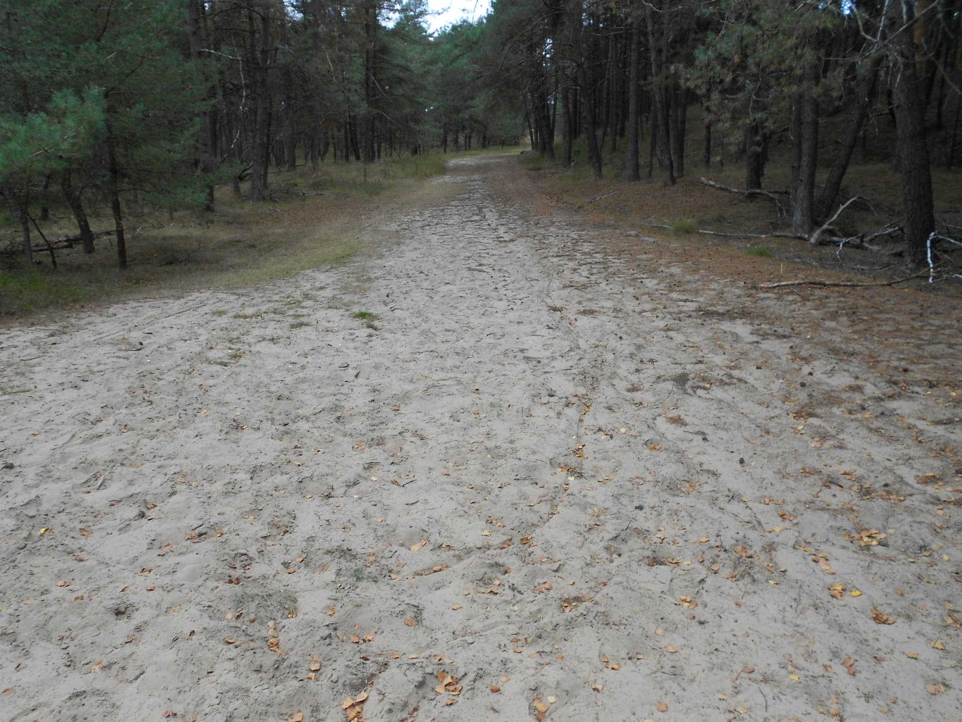
Above: Sandy path to PA6
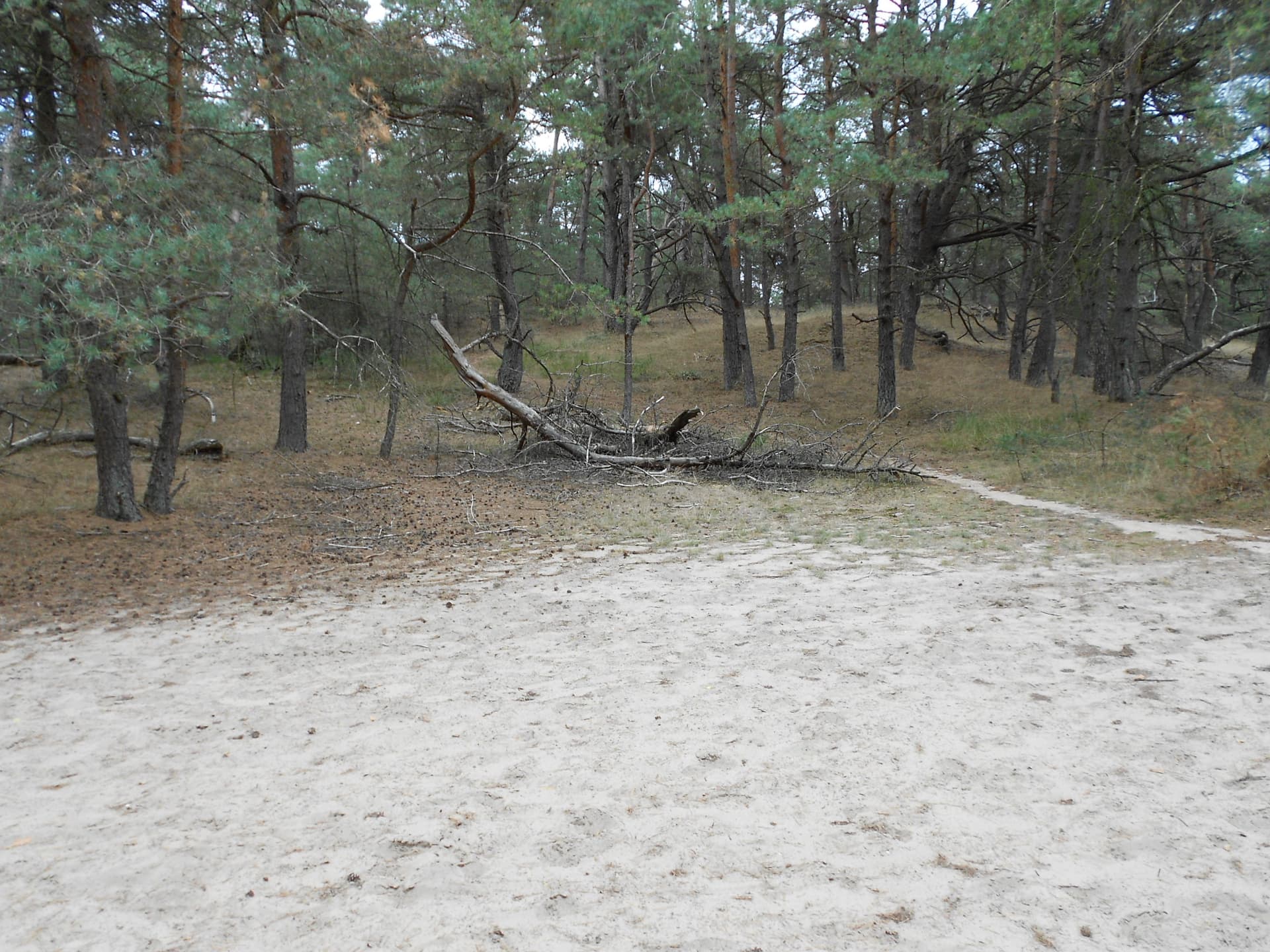
Above: The path which goes to the summit, about 50m distant
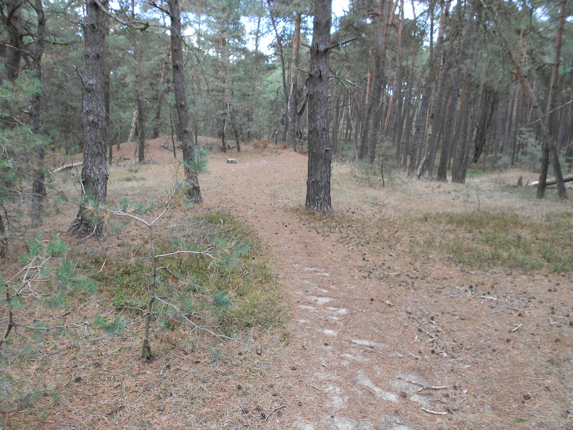
Above: The final approach
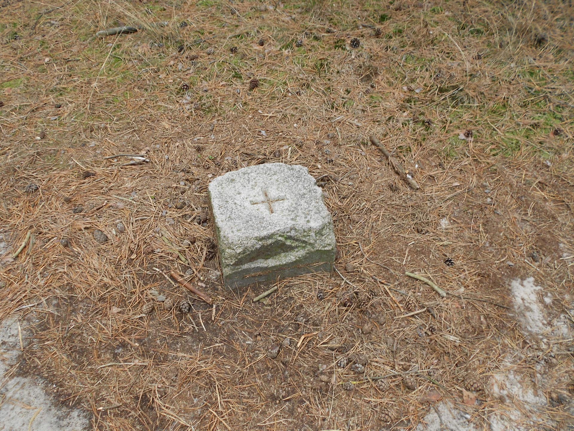
Above: PA/PA-006 Summit marker

Above: Activation of PA6 beside the wide track
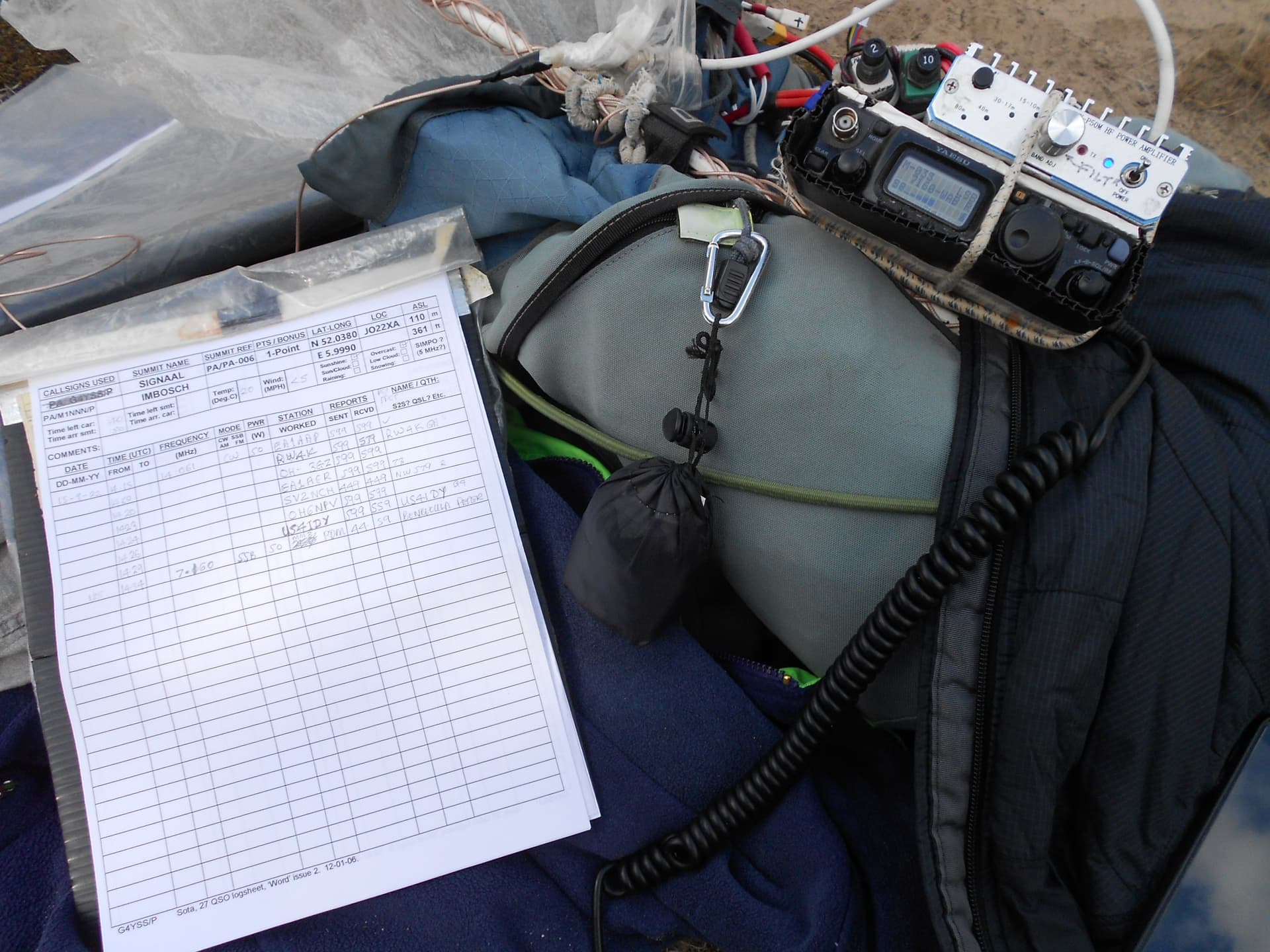
Above: PA6 equipment
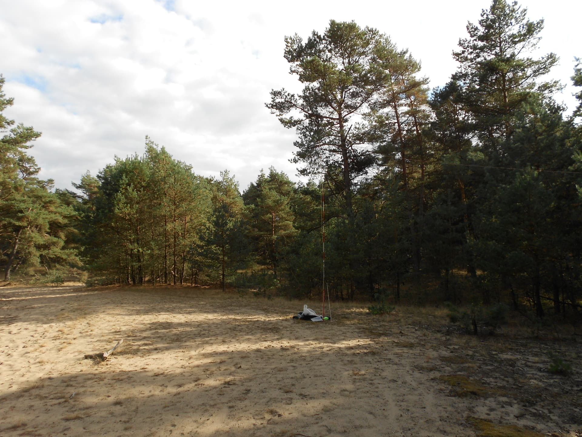
Above: PA6 activation on 20-40m. Looking south