G4YSS:GM/SS-214 Eildon Mid Hill 23-05-21
Issue-1. Please Report Errors
Activation of EILDON MID HILL - GM/SS-214
on 23rd May 2021 using GM4YSS
QRO on 40m-SSB. QRP on 2m-FM
All times: BST (UTC plus 1hr, UOS as ‘z’)
Eildon Mid Hill was activated during a 7-day break at the Waverley Castle Hotel, Melrose, Borders 17th to 24th May 2021. Activations preceding this were Broad Law GM/SS-029 on 18-05-21 and The Cheviot G/SB-001 on 22-05-21. These have separate reports. Little hill, little report? Afraid not.
EQUIPMENT:
FT817ND HF/VHF/UHF 5W Transceiver
MX-P50M, 50 Watt HF Linear Amplifier
Link dipole for 80m thru’ 20m on a H/B 5m CFC/ alloy mast with 1m end-sticks
Home-brew tunable loading coils for 160m (not used)
5 Ah Li-Po battery (no reserve)
J-Pole for 2m FM
1m carbon stick.
Reserves:
IC-E90, 4-band, 5W VHF H/H (used on 2m-FM and 4m-FM)
Sotabeams 144MHz Band Filter (not used)
QRO pack: 9kg (19.8 pounds) including, umbrella, Primaloft jacket, 0.5 litre drinks
INTRODUCTION:
Based at the Waverley Castle, Melrose this activation took place mainly because of its proximity to the hotel.
Only a small handful of 1-pointers have been put on by me in 19 years of SOTA activating but this one was very close to where we were staying. In fact my XYL had spotted it from the grounds of Melrose Abbey when we visited it on the 19th. ‘Look, there’s a hill over there.’ After a bit of study on the 1:50k OS map in my phone, I came to realise that she’d found the local SOTA. Just the job in case of bad weather or something to fill an afternoon while my wife sleeps due to MS.
The week’s poor weather had forced a departure from the planned routine (as it normally does, especially in GM). Instead of a day activating followed by a day of the XYL’s choice, there’d been a run of 3 days of XYL choices. I’d climbed The Cheviot the day before but now we were faced with just the final day remaining. This was a lazy morning and I got the previous day’s SOTA report started along with all the photos, track-log/ route stuff and battery charging etc.
I had routes and log sheets for Minch Moor and Eildon Hill but got overly engrossed in the report. Thinking it must be lunch time by now and ‘Shall we go out for tea and scones dear’ it was actually half past one and almost too late to do anything. I got ready in a panic and since the preferred summit of Minch Moor was an hour round-trip on the roads, that left the closer one-pointer at 10 minutes each way.
What gear would I need? 2m-FM QRP and a quick nip up and down before the rain arrived should do it. Plenty of population around here so easy contacts. So long as I didn’t get too many I should be back by the XYL’s stipulated time. ‘Don’t be late, you know you have to pack to go home tomorrow.’ ‘Yes dear.’
There was no time to mess about so apart from replacing the battery, the rucksack remained the same as it had been the day before on SB1. It would do me no harm to carry HF up a small hill like that, even if I didn’t plan to use it. ‘Bye dear; see you at 5:30, have a good sleep.’
Off I shot, passing reception but the lad behind the desk, who had done Eildon Hill in the past, supplied me with some information. Apparently there are some steps on the path from Melrose which he said was a tiring route so saying I’d be tackling it from around the back where you can start higher, he wished me luck and off I went.
EXECUTION and ROUTE from Greenwells, nr Eildon:
Map research before the holiday showed that this might best be done from Chesterhall about a mile SE of the summit but that didn’t come off on the day.
I left Melrose at 13:57 in a rush and despite the pre-programmed satnav managed to get lost somewhere up by Whiterigg. Turning back in a huff, after a short while I came across a chap with a dog. Great! He was local as expected and quickly gave me chapter and verse on how to walk up through the forest and exactly where to park.
Driving Route:
Here are the instructions of how to drive there, without my error of course. I was driving from Melrose and coming down the A68T. I turned right at an easily missed ‘C’ road at NT 5770 3283 which I think was signed ‘Eildon.’ It’s about 400m before (north of) the B6340 turn-off to Newton Boswells but that road could also get you there.
Drive up through Eildon Village and go straight on at the cross roads NT 5719 3261. After another approx 1.3km at Greenwells - NT 5631 3201 there’s a house gable end that sticks out into the road from the right with some dust bins on view. Turn right immediately before it, drive another couple of hundred metres and park just round the left hand bend, on the left verge at NT 5619 3204.
Walking Route:
I got ready to go ASAP but the GPS signal wasn’t that great under trees. However I marked the route as best I could. From the car, walk 40m back to the junction at NT 5621 3206, that you just passed in the car and turn left (NW) on a mainly dirt road. Loose a little height (6m or so) only to regain it by NT 5600 3237 where the way bears left. Walk the forest track via NT 5574 3236; NT 5557 3228 and NT 5547 3230 where you turn right (N).
At NT 5545 3241 go left (W) to follow a muddy path under overhanging trees (mind your mast if you’ve got one) via NT 5531 3236 then turn right (NW) at the ‘T’ junction - NT 5518 3227 onto St. Cuthbert’s Way. This leads NW to the col NT 5502 3252 between Eildon Mid Hill and Eildon Hill North. Here turn left (SW) to go up a steep, curving stony path to the summit of Mid Hill, turning right at NT 5496 3231 on the way. The trig is at NT 54824 32288 and beside it a view-finder plaque or whatever they’re called?
Don’t be fooled as I was, into taking a path left at NT 5508 3245 on the way to the col. This only goes around to the third hill (Eildon Wester Hill) skirting the wanted SOTA summit on its south side. Like an idiot I thought it was a short cut but ended up leaving it to go straight up the steep side on scree and through long heather. Not recommended! The walk up took from 14:29 to 15:09 but I might have been a bit quicker had I not gone wrong.
EILDON MID HILL - GM/SS-214: 422m, 1pt, 15:09 to 16:48. 10C. 10 mph breeze. Overcast with drizzle later. LOC: IO85PN, WAB: NT53, Trig: TP6894. I didn’t alert this activation. Nil Vodafone coverage (needs O2)
Setting up troubles:
After carrying it up the steep heather, I had changed my mind about not using HF. 2m-FM could wait. Why not try some CW first and since this top is so small and rounded, why not deploy just the 20m part of the link dipole? Any dipoles here are always going to be on sloping ground but there was nobody around so I made a start.
I do this rarely so working slightly down the lee side in vegetation and forgetting that all of the aerial must be rolled out before the two dipole legs can be separated, I ended up with a tangle. More haste less speed and cursing I fought these two thin but determined PTFE wires with a mind of their own. As if it didn’t want to be left out of the action, the curled up coax joined in the fun too.
Eventually I got the job done and there was just enough space for half the aerial without going over the path. Limited time was getting eaten up and then the mast fell over due to insufficient soil depth. This hill could have been qualified by now if I’d stuck to my 2m-FM plan, thought I.
Sitting down on the grass I pulled out the phone for a spot but there was nothing, not even a dot never mind a bar of signal. Standing up. Nothing! Surely this can’t be right can it? I managed on Broad Law and The Cheviot which are both remote so why not here? What about those houses and businesses and hotels I could see between my feet and barely a mile away. Surely they must have a signal so why not me? More in hope than expectation, I sent a 14.061 spot regardless but it ‘bounced.’
After trying another twice and putting out several ‘cold’ 50 Watt CQ’s on the frequency, I realised that 20m-CW was not coming off. My only chance now was to go where SOTA chasers might be listening; with luck - 7.032. Luckily 40m was just available between the end sticks so together went the 20m links followed by CQ’ing on 7.032. Nothing!
OK, you win. No CW today. It would have to be SSB and 7.160 where Worked-all-Britain would surely ‘save’ me. Sure enough they did – eventually.
7.160 SSB (WAB frequency) - 4 QSO’s:
Switching memories to the WAB frequency, I heard strong signals but it sounded like more bad luck at first. Two stations were passing it back and forth and sounding like a non-WAB rag-chew QSO. Thwarted again I though but what a relief when one station gave his callsign. The highly recognizable G3OKA, ‘Old King Arthur.’ This was John WAB square collector back to the year dot located in the Wirral and what’s more he heard my ‘portable’ QSK call-in first time. The exchange was 59/ 57 so my 50W was getting out OK.
I have no recollection of who John was talking to at the time but they must have gone QRT. I gave out all the tempting particulars like the SOTA summit, WAB square and Trig Point. John repeated the lot and we waited for the pile-up of eager chasers to bite the hook. Nothing! My heart sunk. Time was limited and so far one QSO.
Try 80m:
Since I hadn’t the space to deploy any more of the dipole without interfering with the path up the hill, John kindly offered to see if he could raise anybody on 3.760 and bring them up for me. I waited with bated breath for his return and after a while he came back with disappointing news that he hadn’t heard a squeak on 80m. Now what? We both tried more calls and in due course were rewarded with another familiar voice in the form of Steve G4HPE in Cambridgeshire. After a grateful 59/ 57 exchange with Steve we got G3ZLX Edward on the frequency from SP83.
Just one more needed but it was a while coming. The fourth and qualifying QSO was with GM6ZAK – Andy in Cupar, Fife with 59 both ways. Andy was both a WAB chaser and SOTA man. He was planning to put on his local hill the week after our QSO. What a relief, it had been something of a struggle but my single SOTA point was secure at last!
With no further callers on 40m I could now thank John and go where I liked including back to the hotel if necessary. As there was still some time left maybe 2m-FM was worth a try. Two teenage girls turned up, merrily playing music on their phones so why had I been singled out for not even so much as a measly text? The answer would come sooner than I thought.
145.500 FM - NIL:
With the dipole packed away and the vertical erected I tried a CQ on S20, then another and another; each time greeted with a stony silence. Flicking the channels revealed no signals so I concluded that like in my home town of Scarborough, VHF was dead around here, even on a Sunday afternoon.
I tried on and off for another half hour at least but with no result. I also called on the Inverness frequency of 145.575 too, just in case the habit had crept south but no. I was using my ICOM IC-E90 with 5 Watts to the J-Pole but wished I had 50 Watts and a beam.
The MRT man:
The teenage girls had been replaced by a tall man who was well dressed for the hills; something I commented on. He told me in a Scottish accent that he was a mountain rescue team member which always impresses me; my reaction being, ‘I hope I never need you.’
He was doing all three Eildon Hills this afternoon compared with my one. I mentioned the earlier wrong turn which he confirmed and after comparing the hand-held radio I was using to the ones the MRT have, asked what I was doing. He also told me that the MRT had a repeater over on Meigle Hill which I immediately recognized as GM/SS-212 and said so, elaborating further.
He asked how far I’d managed to reach and he seemed impressed when I told him. Clarifying, I mentioned ‘short wave’ but added that so far the handie had produced nothing. I explained that too much reliance had been placed on the phone which had let me down today, going on to say that it had worked from The Cheviot the day before. He pointed over to the east. ‘You see that hill with snow patches on it – that’s The Cheviot.’
He went on to say that everybody around these parts avoids Vodafone except the local council. ‘It barely works at all and everybody has O2.’ I commented that in northern Scotland it is the exact opposite and the reason I swapped to Vodafone. Seems you can’t have everything but maybe you can? An expensive phone with a dual SIM maybe? Really we shouldn’t be relying on phones to get contacts but the days of monitoring frequencies like we once had to do, are well and truly over for most of us.
145.550 FM – 1 QSO:
With the summit deserted again my attention went back to activating but still no success on S20. Determined to pick up at least one contact on 2m-FM and hearing activity on .550, I listened in for a while. Two mobiles were on their way south and in QSO but one vehicle went into a dip at which point they went QRX. I took my chance by asking, ‘Is the frequency in use please.’ It did the trick and I got a reply, working the strongest of the two – G7PHG/M name of Dave. I sent out ‘59/ 52 QSB flutter’ whilst getting back a 53.
Dave was towing his caravan back home to South Shields and was currently passing Catcleugh Reservoir on the A68. The other station - M0LGV/M wasn’t hearing me at all but in the circumstances I was more than satisfied with the single QSO. It was nearly time to leave but there was one more long-shot I could try.
70.450 FM - NIL:
You don’t know if you don’t try so with that in mind I fitted the 2m duck to the 4-band H/H, adding the home-brew top whip for 4m. Was it was just possible that somewhere around here might reside a 4m band enthusiast? Standing tall beside the trig and calling CQ with my 3 Watts got me – well nothing. By now it was raining so my capitulation was timely. I had five in the log and that would have to do but it was a far cry from the 62 worked the day before, even considering that this was a little-'un.
Descent/ Drive back:
Turning my back on this difficult activation at 16:48 got me down to the car at 17:16 and back to the hotel with nothing said by 17:33. By this time it was chucking it down with rain so I had been lucky.
ASCENT & DISTANCE:
Start point at 265m ASL. Ascent 270m (886 ft) inc. re-ascent / Distance 4.6km (2.9 miles)
CHRONOLOGY:
Drove from Melrose:13 :57 to 14:19 (inc getting lost)
Walk started: 14:29
GM/SS-214: 15:09 to 16:48
Returned to Car: 17:16
Drove to Melrose:17:23 to 17:33
Walking times:
40min up/ 28min down
Summit time: 1hr-39min
Time Car to Car: 2hrs-47min
QSO’s:
4 on 7.160 SSB (WAB)
1 on 145.550 FM
TOTAL: 5
COMMENTS:
This was supposed to be an easy afternoon jaunt. Not really a proper SOTA at all; just a friendly little hill near the hotel that we’d seen from the local abbey 5 days prior. Nip up, 4 or more contacts on 2m-FM and nip back down again. Simple!
True, on the one hand I changed my plans and got the HF gear out but on the other hand I’d have had to anyway as it turned out. It just goes to show that you can never bank on anything or underestimate a 1-pointer, especially a Scottish one.
Just because it’s only worth a point, doesn’t mean it’s going to be easy or even straightforward, to use a more appropriate term in this case. I got lost on the drive in, I got lost on the way up, my phone signal got permanently lost and all but five of the chasers got lost too! At least the afternoon was consistent.
Well, there it is; 13 points for the week. It sounds somewhat paltry but I certainly enjoyed what got done after being confined to home and the local area for so long. Compared to the forecast for unsettled weather all week, there were enough decent days, albeit they weren’t spread out enough. You can’t have everything especially up in GM but I barely got damp and there were no midges.
We also had visits to Melrose Abbey, Sir Walker Scott’s former home of Abbotsford and spent a couple of hours with our next-door-neighbour who moved up to Chirnside 2-years ago. We even dared to go into a cafe – just once.
The Waverley Castle Hotel was comfortable and the staff very friendly and down to earth. Meals were good too even considering a 4-day repeat menu under the current circumstances as there was hardly anybody there. We were just so grateful to get a holiday which, apart from a 4-day break to Ardgarton in September 2020, was our first holiday since Christmas 2019.
The 163 mile drive home the next day took 6-hours gross but that included a 2-hour stop at The James Cooke Hospital in Middlesborough for the XYL’s appointment. Total miles was only 560 for the week. Much less than Strathpeffer or Dornoch.
THANKS:
To ALL STATIONS worked – bacon savers, especially John G3OKA and the other WAB chasers. I’d say thanks to the spotters but there weren’t any. Thanks to the hotel receptionist for the info on this one and to the dog-walker who told me the way up and where to park.
73, John G4YSS
Photos (poor quality):
40-37a-36a-2a-4a-10a-21a-25a-29a-27a-32a-33a-39a
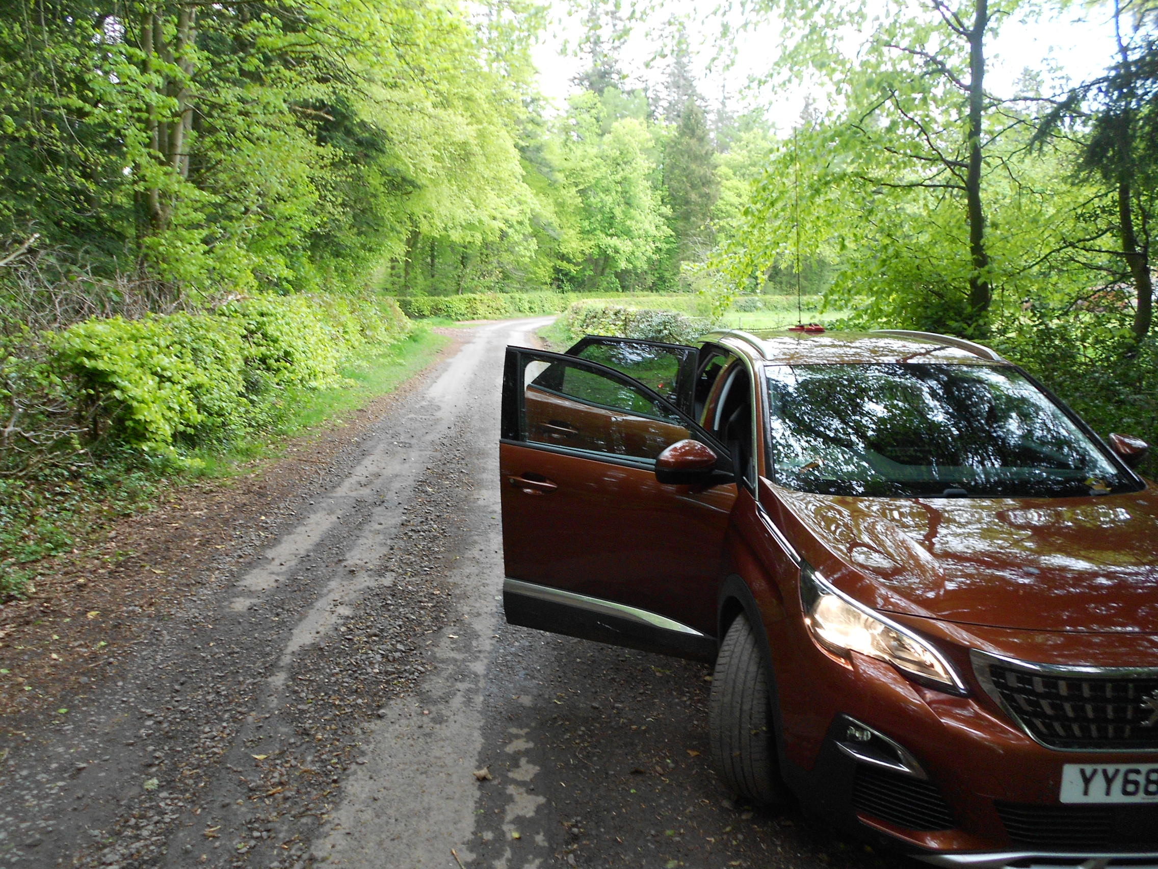
Above: The parking place near Greenwells
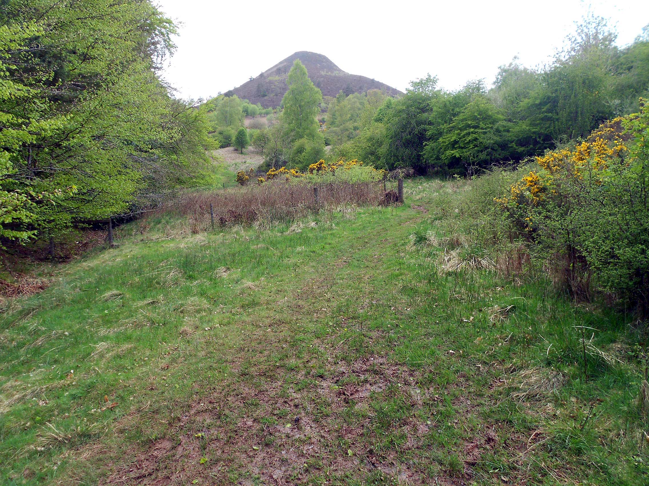
Above: Top of the forest, heading for St Cuthbert’s Way
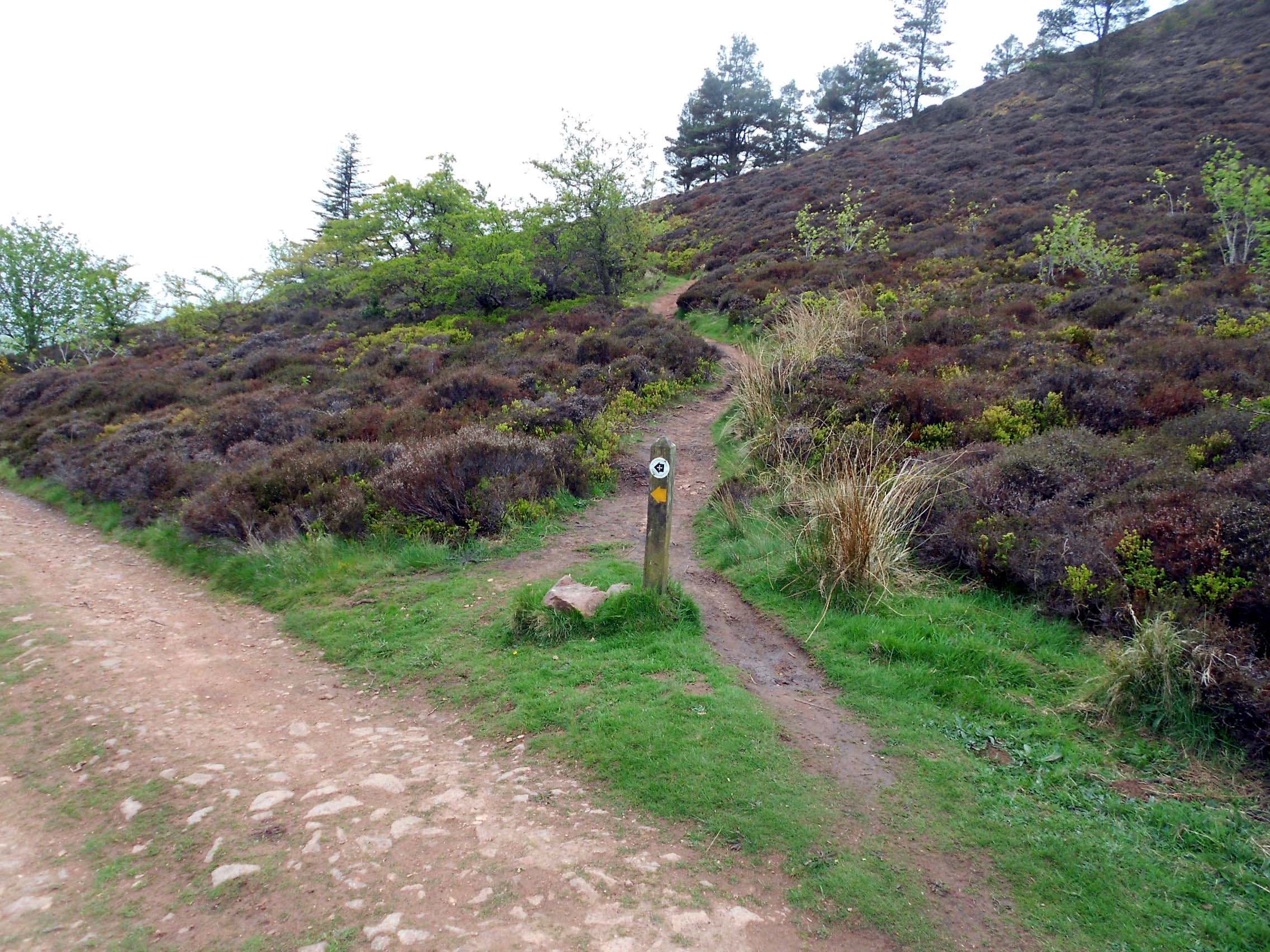
Above: The skirt path I shouldn’t have taken
Above: The skirt path taken in error
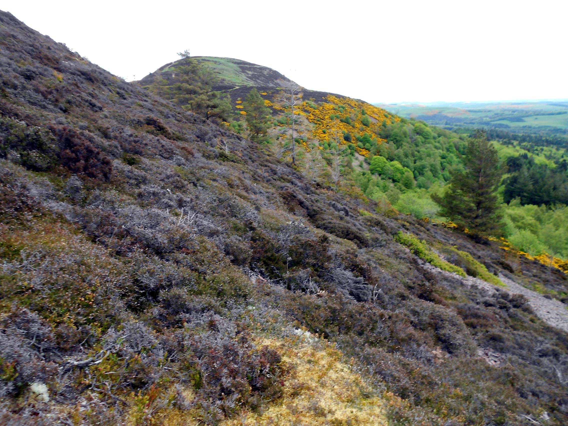
Above: Going straight up the side from the skirt path
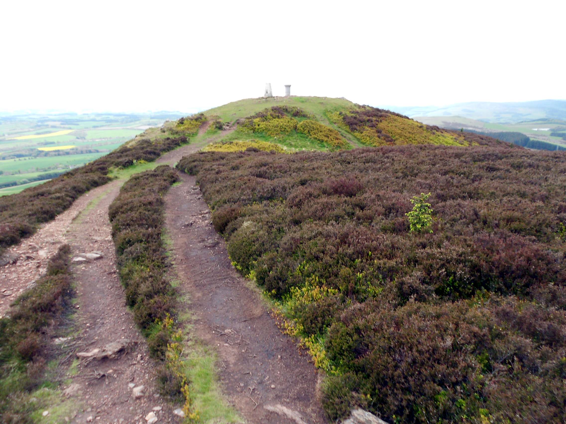
Above: Approaching the SOTA summit of Eildon Mid Hill GM/SS-214
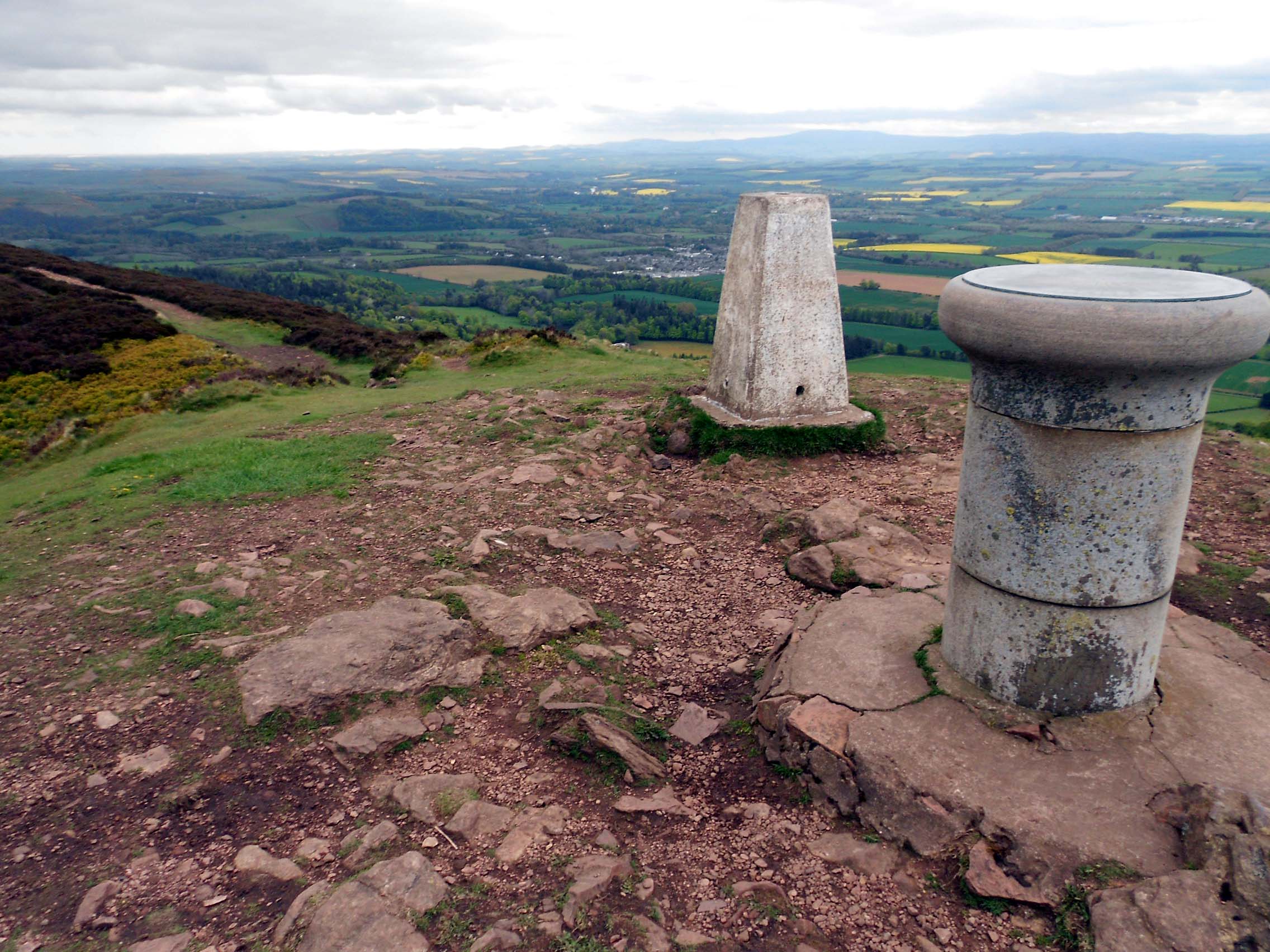
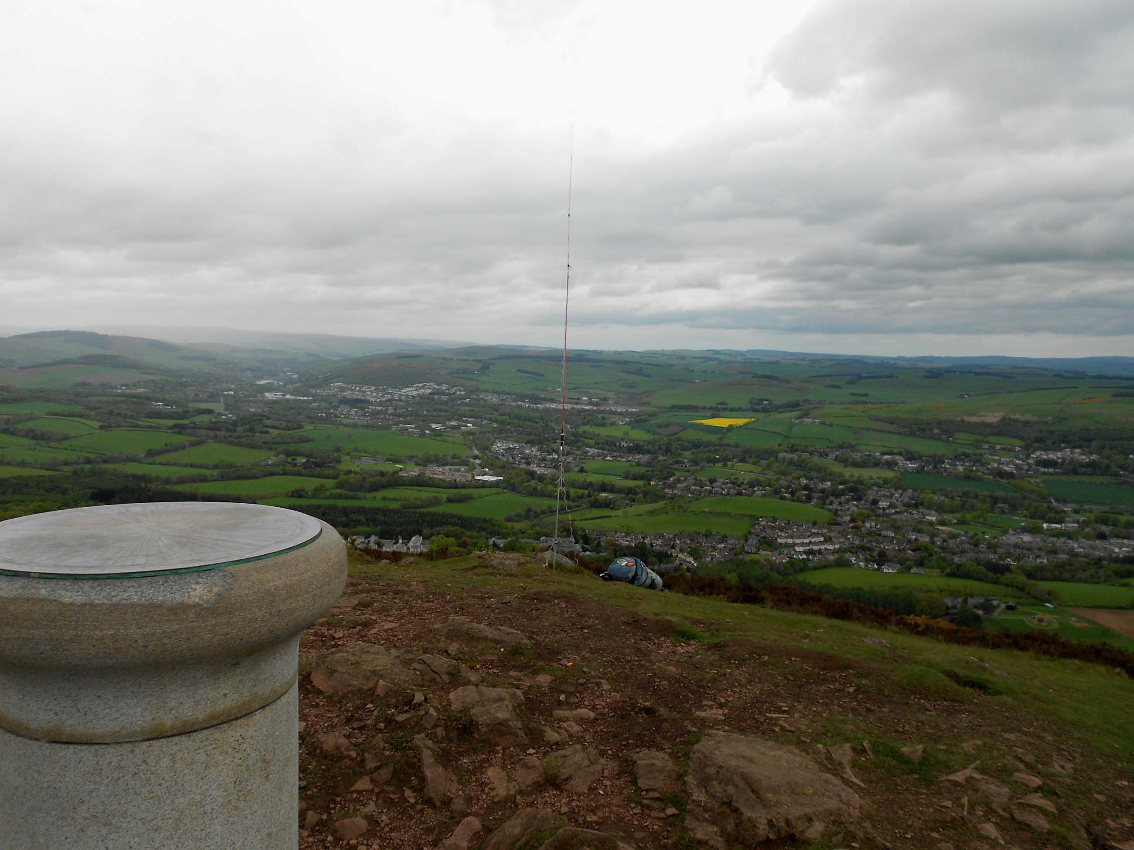
Above: SOTA Eildon Mid Hill GM/SS-214
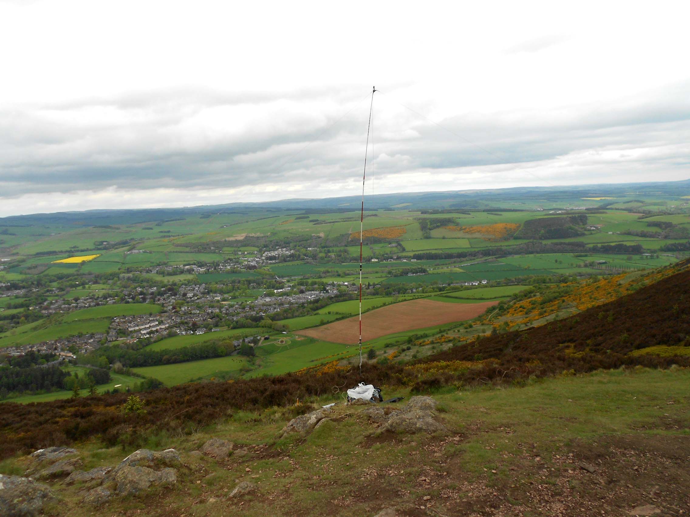
Above: Activation of Eildon Mid Hill GM/SS-214 on 40m-SSB
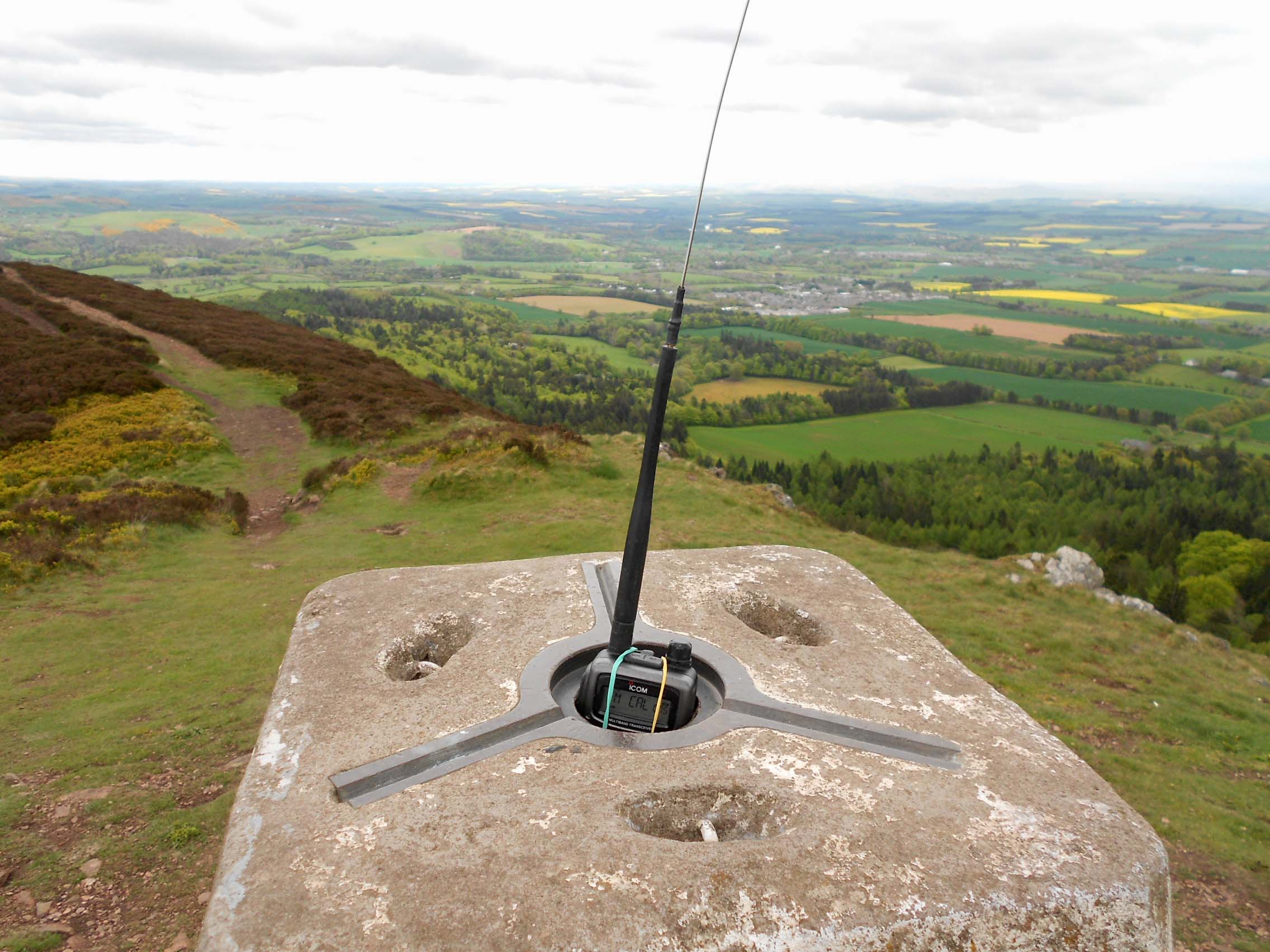
Above: Activation of Eildon Mid Hill GM/SS-214 on 2m-FM
Above: (Non) activation of Eildon Mid Hill GM/SS-214 on 4m-FM
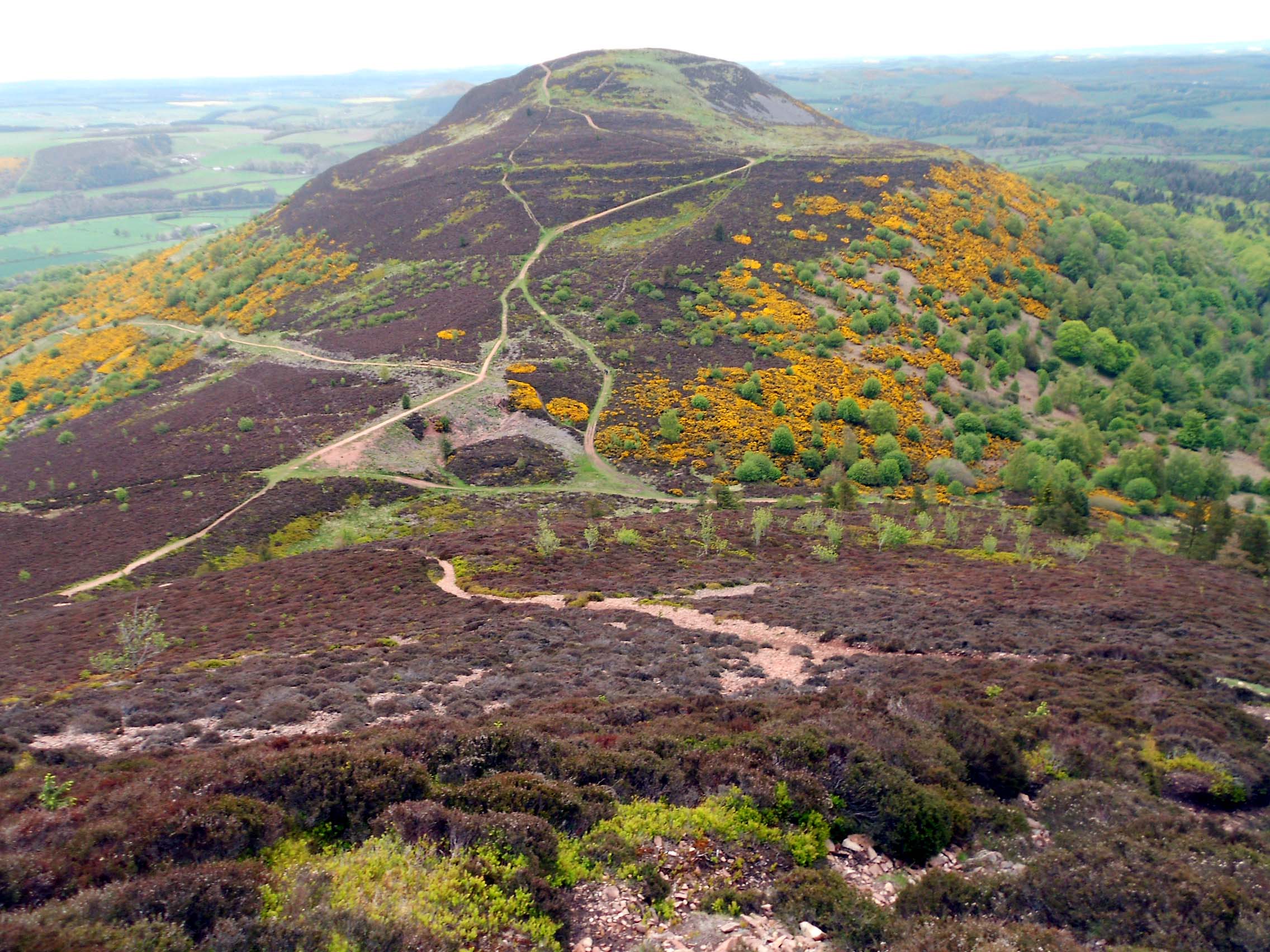
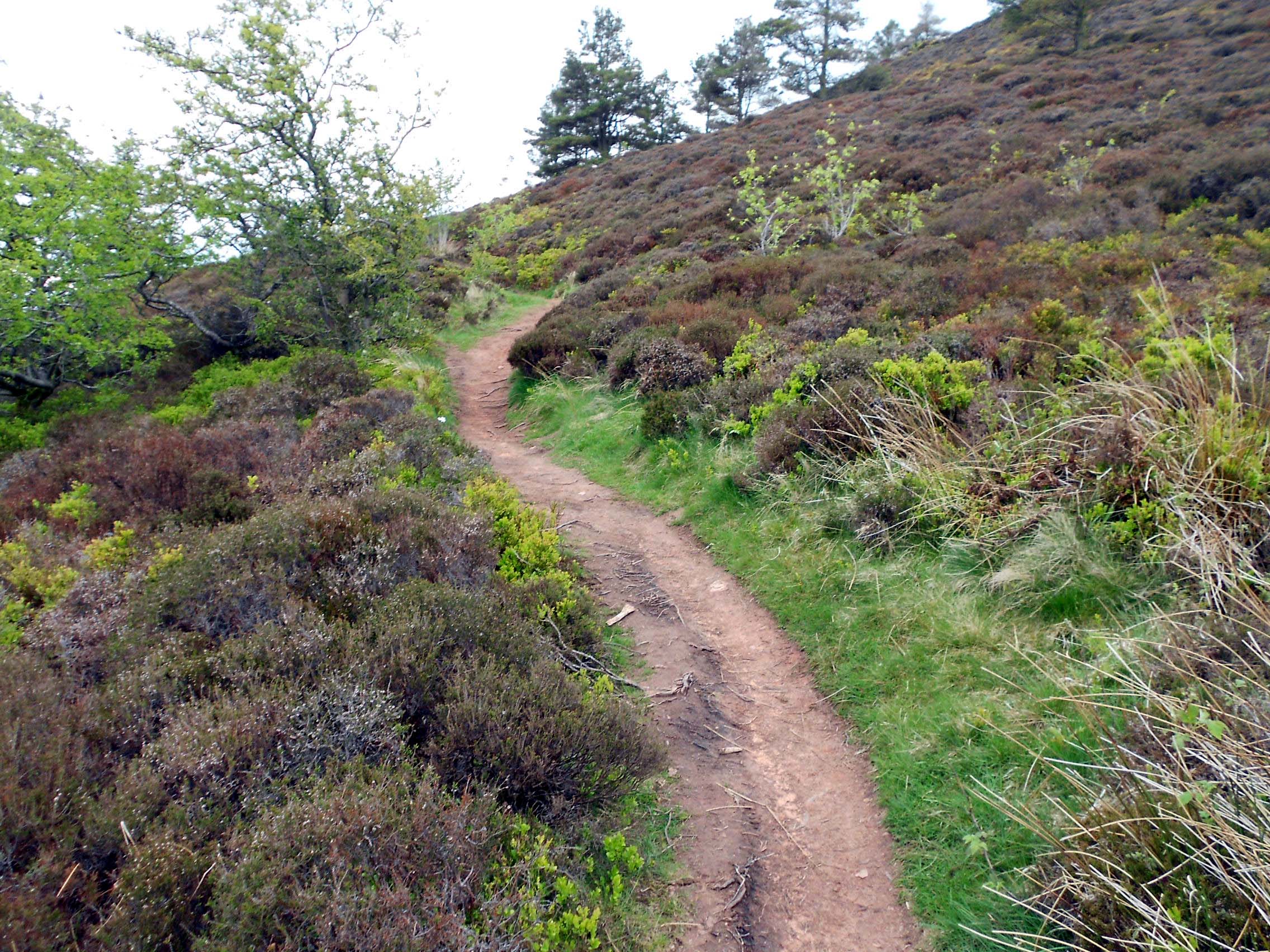
Above: On the way down to the col. Eildon Hill North beyond

Above: Path down to the col.
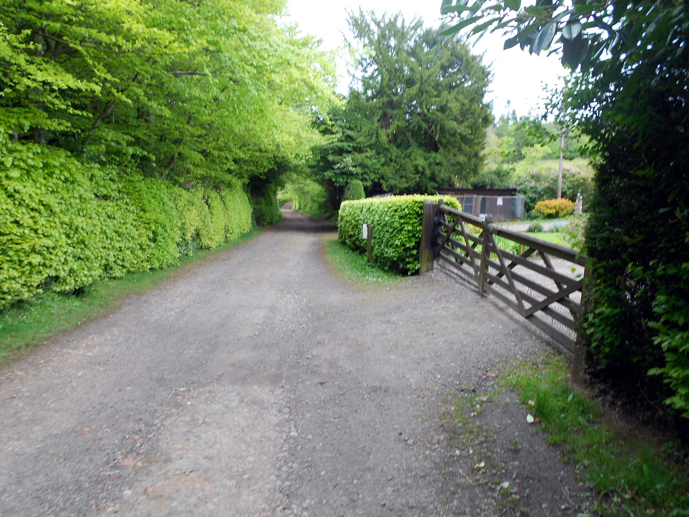
Above: The lane down to the parking place
