G4YSS: GM/SS-032 Stob Coire Creagach, 14-06-23
Issue-1 (Pse rprt errors)
Activation of STOB COIRE CREAGACH (Fhidhleir Group)
G4YSS using GM4YSS/P
VHF - QRO on 2m-FM only
All times: BST (UTC plus 1hr, UOS as ‘z’)
EQUIPMENT:
Moonraker MT270M, 2m/70cm, 25W Mobile Transceiver
PYE Cambridge Antenna Filter Type AT29908/AB (adjustable 132-174Mcs, 0.6kg)
3-ele modified SOTAbeam
4m, 3-section mast (top section is plastic conduit)
Two Turnigy 11.1V, 2.2 Ah Li-Po batteries (one used)
Reserves (not used):
Baofeng UV-5R, 5W 2-band H/H
Baofeng UV-3R, 2W 2-band H/H (shirt pocket)
J-Pole for 2m FM
Pack Weight: 8.5kg (20 pounds) inc. 1 litre drinks (0.5 used)
INTRODUCTION:
This was the third SOTA of this year’s 9-night trip to GM/SS staying at the Lochs & Glens Ardgartan Hotel from 8th to 16th of June with my XYL Denise. Today’s target was not too far away and not too hard, by Scottish standards that is. Stob Coire Creagach is the highest point of the Binnein an Fhidhleir range which overlooks a long section of the A83 north of Rest and Be Thankful.
There were just two concerns. One was that the route is steep and reputedly mostly pathless. The other was screening of population centres by bigger mountains. HF QRO backed up by VHF QRP was considered and rejected in this heatwave mainly on the grounds of weight. Like the previous two activations - SS27 on the 10th and SS18 on the 12th, VHF QRO was the recourse. Even on a weekday, with 25 Watts and a beam the risk of not qualifying should be minimal.
EXECUTION:
The route for SS32 came from Walk Highlands with the start point at the Butterbridge pull-off on the A83, where parking is available for maybe 10 cars if they’re parked well. The area is much bigger than that but today more than half if it was taped off for road work vehicles and materials no doubt intended for the south side of the R.A.B.T. pass. The parking grid ref is NN 2341 0957 (180m ASL).
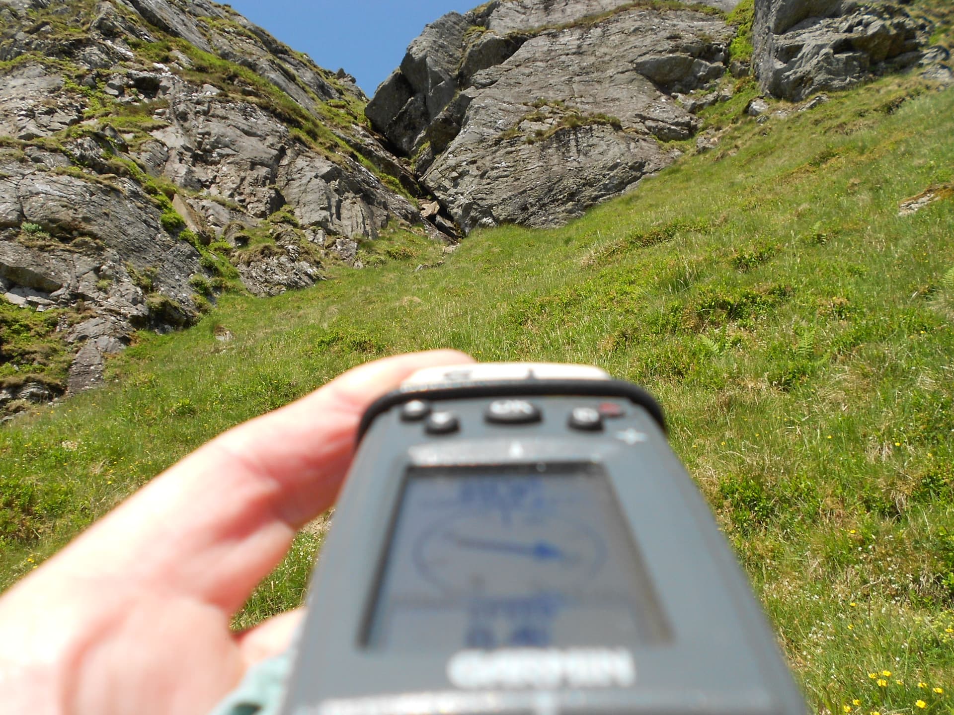
An internet search left me with doubts as to whether a path existed beyond the ladder stile mentioned. That was proved wrong. I followed one almost all the way up, though it was admittedly very hard to detect along the flatter sections. Wherever it was climbing it was fairly easy to see but it does zing around quite a lot.
I set off walking at 10:06 in bright sunshine and a gentle breeze in a temperature which would soon reach 26C. The usual procedure of reducing pack weight was followed by consuming one litre of water before leaving the vehicle. I didn’t put a mountain jacket in the pack and I didn’t need to wear my fleece either.
Route Details (Waypoints marked 14-06-23):
Walk east along the roadside for about 100m, cross the road and head through the pedestrian side-gate into Glen Kinglass for a few metres to where the fence ends at NN 2358 0962. Here you can ‘do a 180’ and cross the track. It’s just metres back to the gate that gives access to the hill path. On it is a notice about keeping sheep and deer out to enable the area to regenerate but humans were not mentioned. However I did see at least four sheep high up. Just slide the bolt and go through to find the SS32 path.
The path was initially on the flat and rather boggy considering the heatwave but then it rapidly increased it angle. Follow it through bracken and young trees via NN 2346 0985 to cross the deer fence via a ladder stile at NN 2350 0993 just after crossing a little burn. Carry on to pass two large rocks at NN 2351 0999 and NN 2355 1006.
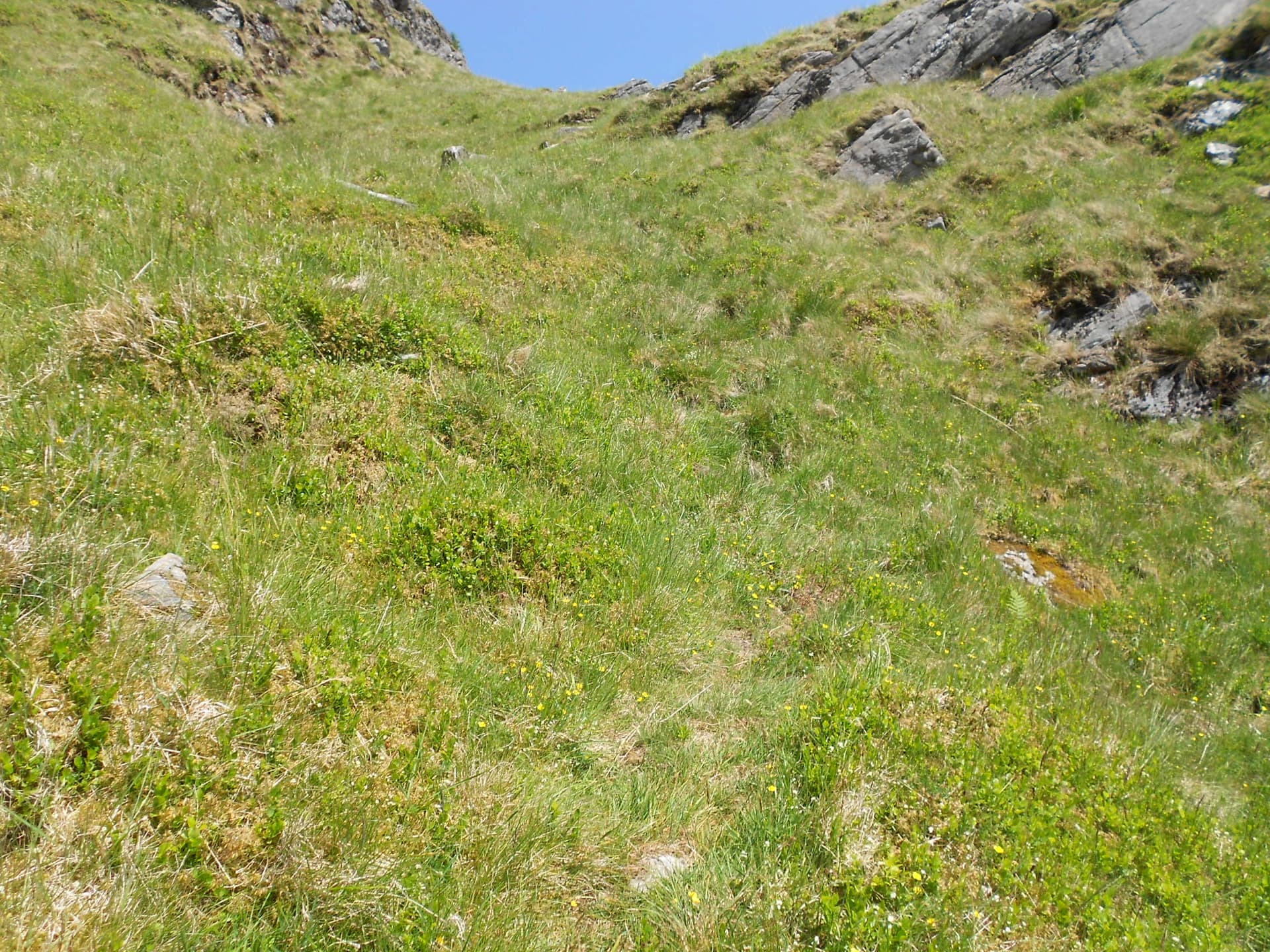
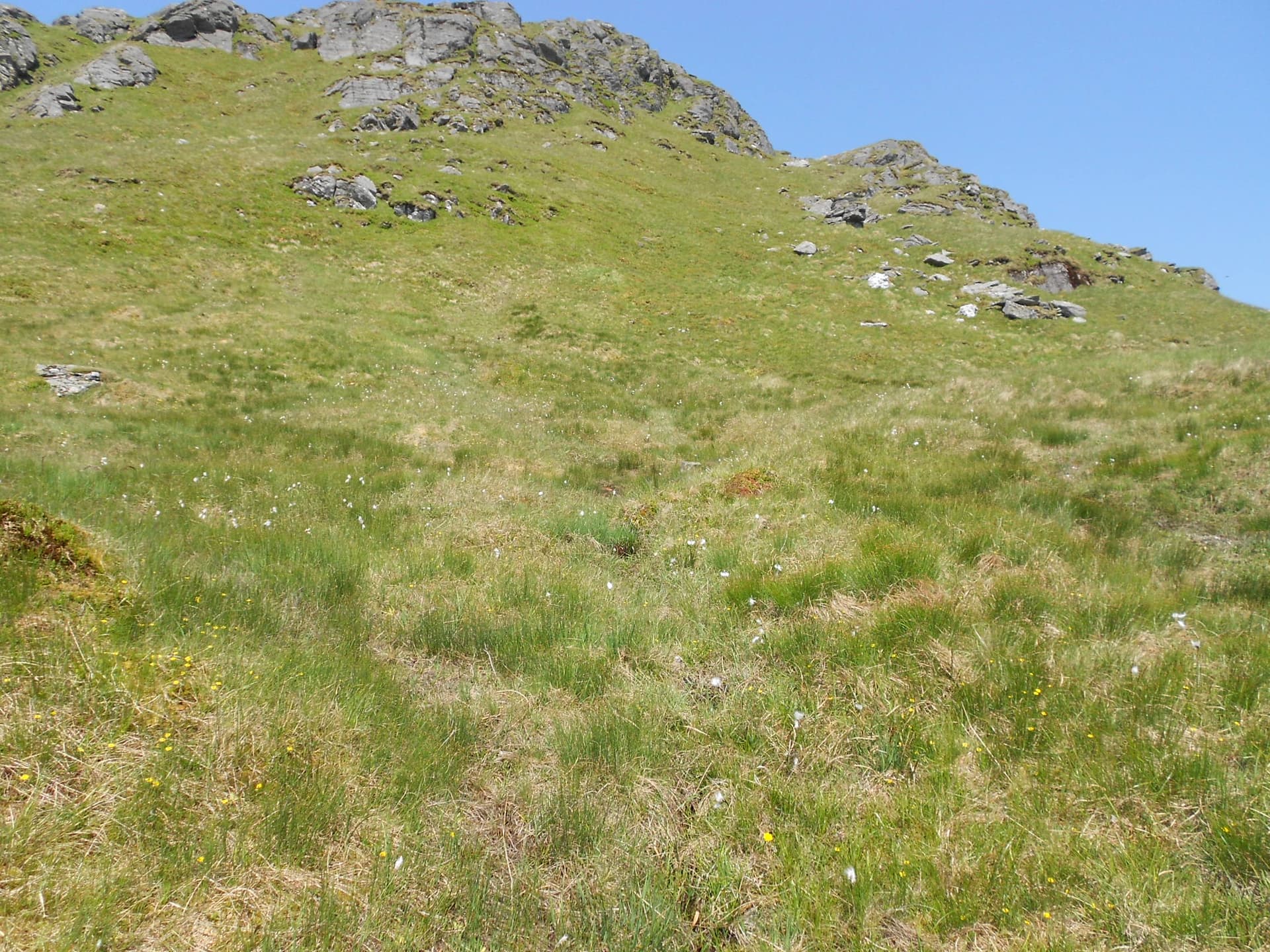
Climb up a steep grass gully via NN 2359 1023, exiting the top at NN 2364 1030. The path turns north via NN 2362 1044 but be careful as it’s easily lost. I lost it a few times; only marking it when I was sure I had it under my feet. Now we go NE via NN 2353 1053; NN 2347 1057 and NN 2335 1069. It gets steep again higher up but the intimidating rocky gully ahead can be bypassed up alternative and safer grass slopes up and to the right.
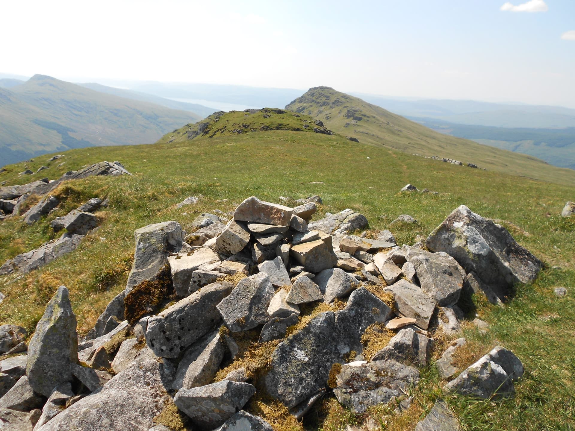
NN 2330 1070; NN 2331 1076 and NN 2323 1076 is where you’ll find the path going NE, N and NW again. Continue to NN 2319 1084; NN 2315 1094 and NN 2312 1099 where you turn SW on the approach to the summit cairn which I GPS’d today at NN 23065 10912.
Because of the navigational uncertainties, the steep gradient on most sections and the heat, the ascent (I should mention with minimal re-ascent) was very slow. In fact it took a minute under 2 hours!
STOB COIRE CREAGACH - GM/SS-032: 817m, 4 pts, 12:05 to 14:25. 20C, 5 to 10mph breeze. Sunshine throughout. Vodafone 4G coverage. LOC: IO76NG, WAB: NN21, No trig
Setting Up:
The mast and vertical beam were positioned close to the summit cairn as I wasn’t expecting to see anybody on this mountain today. So it transpired. After trying in a dozen places, I concluded that the soil was not deep enough for my mast to support the required weight without help, so a single windward guy was employed. After two previous activations in recent days with identical equipment, it wasn’t long before I was set up, self-spotting and calling CQ on S20.
145.400 FM - 11 QSO’s:
Two stations answered my CQ immediately and simultaneously. I had to make a choice, falling back on the ‘Ladies First’ rule. Christine GM4YMM gave me a 57 from Edinburgh. She and Ken GM0AXY, who came in from the other room to work me, were both 59. Next in and patiently waiting was Steve in Greenock 2E0XPZ with 59 both ways. I don’t think I’d aimed my beam correctly for the above QSO’s. Either that or it swung in the breeze. I found it pointing NE!
A pileup wasn’t expected from this relatively small peak with bigger surroundings but two more stations called in quite quickly. GM2CXM Ray came in from Bearsden. Ray was using a collinear at 70 feet AGL so 59’s were exchanged and the summit was qualified. Then it was the turn of MM7DIR and Neil gave me 57 with QRM from Longridge, Midlothian. I couldn’t hear the interference myself but thinking it might be widespread in the target area, a QSY was considered until the next station called in.
MM7GMR gave his name as John but I didn’t catch the QTH which sounded something like, ‘Bowness’ though John did add the clue that he was ‘at sea level.’ We exchanged 57/ 55 but the location might remain a mystery.
Not long afterwards I logged 2M0ROT (2x 57). Stuart in Port Glasgow told me he’d just come off his final 12-hour shift from a run of four and was just working me before heading for his bed. Stuart’s comment - ‘I don’t even know what day it is’ was understandable. I am so grateful that my working days are long gone and in the circumstances, grateful to Stuart for taking the trouble.
At 12:08z my CQ was answered by Jason MM7HQC in Paisley, ‘ 2 miles from Glasgow Airport’ with 59 both ways then Jim GM4UYK in Kilmarnock gave me a massive 59 plus 50dB! Next a callsign that has lately become familiar. Peter GM3VEK in Kirkintillock got his third mountain of the week, from me at least, with a 59/ 56 exchange.
When .400 dried up and there were no further responses on S20, I tuned 145.575 and pointed my beam at Inverness for a few CQ calls. This was my third try for an answer on the local net freq in that area but again nothing heard. I was hoping that my old friend Ray G3PIL might just hear me from Piper Hill, Nairn or Andy in Fortrose but there are too many mountains in the way. I did hear a very strong repeater signal on 145.625.
A Chat QSO:
After a lunch consisting of crisps and melted chocolate biscuits, I put on a second spot. However it wasn’t the spot that brought in the final QSO but a CQ call on S20, picked up by GM6CMQ. Dan was having a ‘working at home day’ NW of Edinburgh. His QTH could have been Dunfermline?
Dan (who had once lived in Bridlington) and I had plenty to talk about. He used to work at Dale Electric Ltd in Gristhorpe near Scarborough and one of his close colleagues was someone I know - Dave G4EDR in Filey. He also mentioned Mike G4JBI, another Dale employee who moved to the USA. They all worked in the generator test house so I’m amazed Dan has any hearing left.
It was Sir Leonard Dale who supplied the generators to the 160 ton MV Oceaan-7 for Radio 270 (1,115kHz – 10kW) off the Scarborough coast the 1966-67. In fact he was one of the directors! 270 was 59 in Bradford where I used to listen as a teenager and over most of Yorkshire. My friend Colin Brayshaw and I had the great honour of being told off by the crew after rowing our boat right under their bow in Bridlington harbour. Oh happy days but I digress!
We also talked about mountains. Dan mentioned that his son of eighteen had already done 27 Munros! That probably exceeds the incidental ones I’ve picked up doing SOTA over the years and a few more from way back. The QSO lasted for 15 minutes but then my display dimmed and battery-1 was on its last legs. After a quick 73 and an unanswered enquiry ‘Is there was anybody wanting to work my SOTA?’ it was all over. There was no point in swapping batteries. This was the sign to go down so I packed up and walked off at 14:25.
The Descent:
After taking just shy of two hours to climb up, I expected about 90 minutes for the walk back. I was surprised when it took bang on an hour, arriving at 15:25. Once again a mast section came in handy as a stick.
On the short drive via R.A.B.T and the roadworks I put grid square NN20 on the 7.160 MHz WAB net, working two stations but failing with a third.
ASCENT & DISTANCE (Start point at 180m ASL):
645m (2,116ft) / 4.2 km (2.6 miles) walked
CHRONOLOGY:
Drive from Ardgartan Hotel: 12min
Walk Started (Butterbridge): 10:06
GM/SS-032: 12:05 to 14:25
Returned to Car: 15:25
Drive back to Ardgartan: 12min
Walking times:
Ascent: 1hr-59 min
Activation of SS32: 2hr-20 min
Descent: 60 min
Total: 5hrs-19min
11 QSO’s on 2m-FM
SOTA points: 4
Battery Utilisation: 2.2Ah
COMMENTS:
This was another enjoyable day out apart from the heatwave. My legs felt slightly stronger after ‘training’ on the previous two SOTA’s with the rest days in between. That said, it still took me three hours of walking for the round-trip but once up, the views and the breeze made it all worthwhile, followed by a good activation. Once the toil, pain and sweat are over, it feels like a privilege and a joy just to be alive and in such places, up high and looking down. It can’t be beaten. The views are not always available but today they were outstanding. I couldn’t resist one more photograph and then another and another, is if somehow that would let me take the entire mountain home to Scarborough. This was Scotland at its absolutely stunning best.
At least now we can be sure of the path but at only 8 times on the air, it’s easy to see why SS32 doesn’t get a lot of attention from SOTA activators, or anybody else for that matter, judging by the path, the gradient and the complete absence of other walkers today. Maybe they all head for the more famous but lower summit further west in the chain – the Fhidhleir? I could see it along the way but sadly it’s not a bit of use to a SOTA op.
Logging as many as 11 chasers came as something of a surprise considering the screening of this hill but power and the beam no doubt helped. Without investigation I couldn’t say which station was furthest away and I don’t get a good mental picture of the map when I’m in GM. I managed contacts outside Scotland from the previous two mountains but not from this one.
There were some regulars who have now worked me on all three I’ve done so far plus some new callers. With only one summit to do, there was time to have a chat with everybody. The final contact with Dan GM6CMQ was interesting because we had some common acquaintances, interests and geography. One 2.2 Ah battery was all that was required for this activation which spanned 35 minutes before lunch plus a further 15 minute QSO right at the end.
THANKS:
To ALL STATIONS worked and the SOTA Spotter app.
73, John G4YSS
Using GM4YSS/P
Photos: 2-3-12-13-17-20-26-29-30-35-40-42-46-47-633p-54-60-921p-937p-246p-99-101-119-5-1
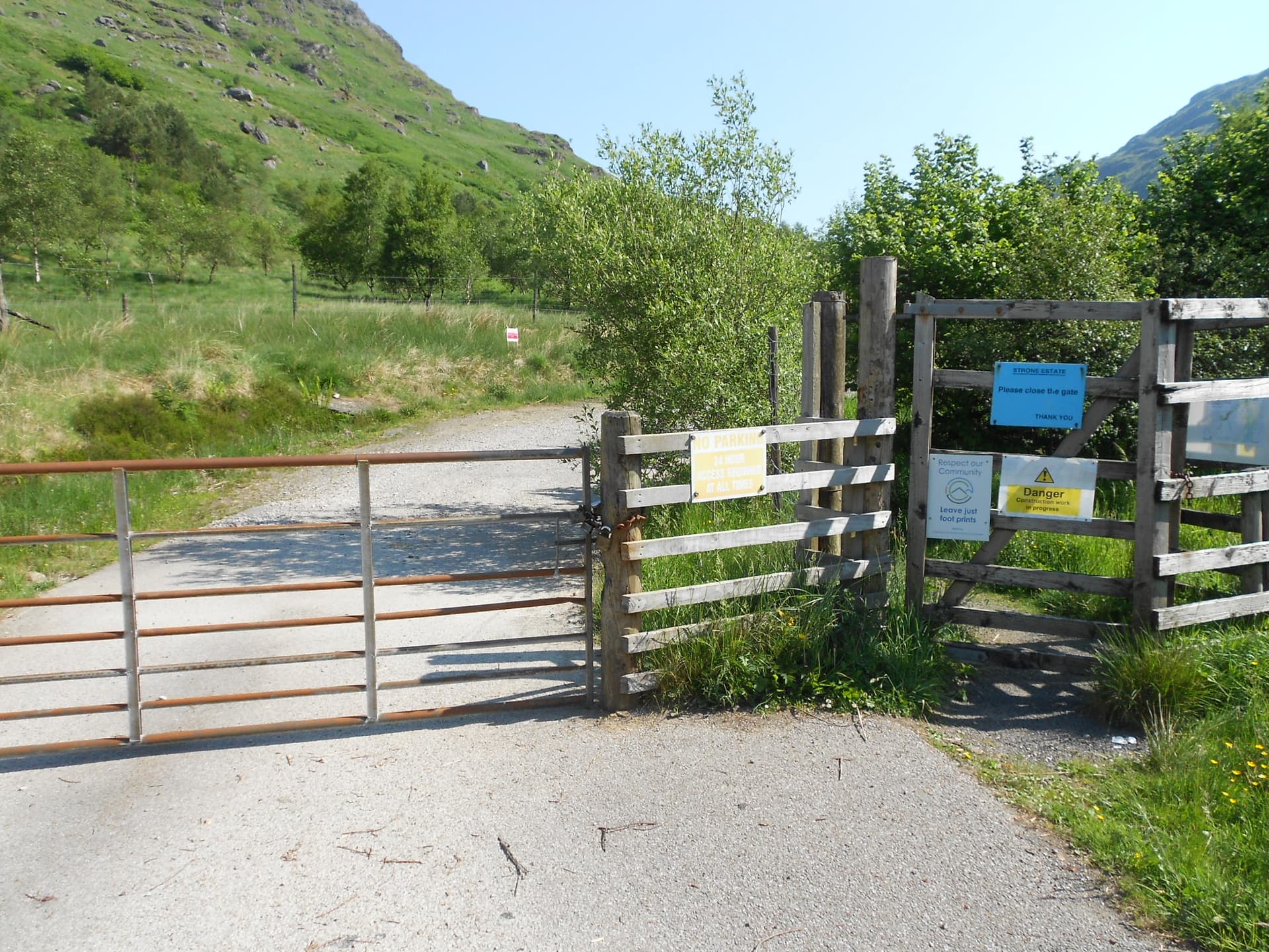
Above: The locked vehicle gate at the end of Glen Kinglas. Take the pedestrian gate to the right and tale a 180 around the short fence.
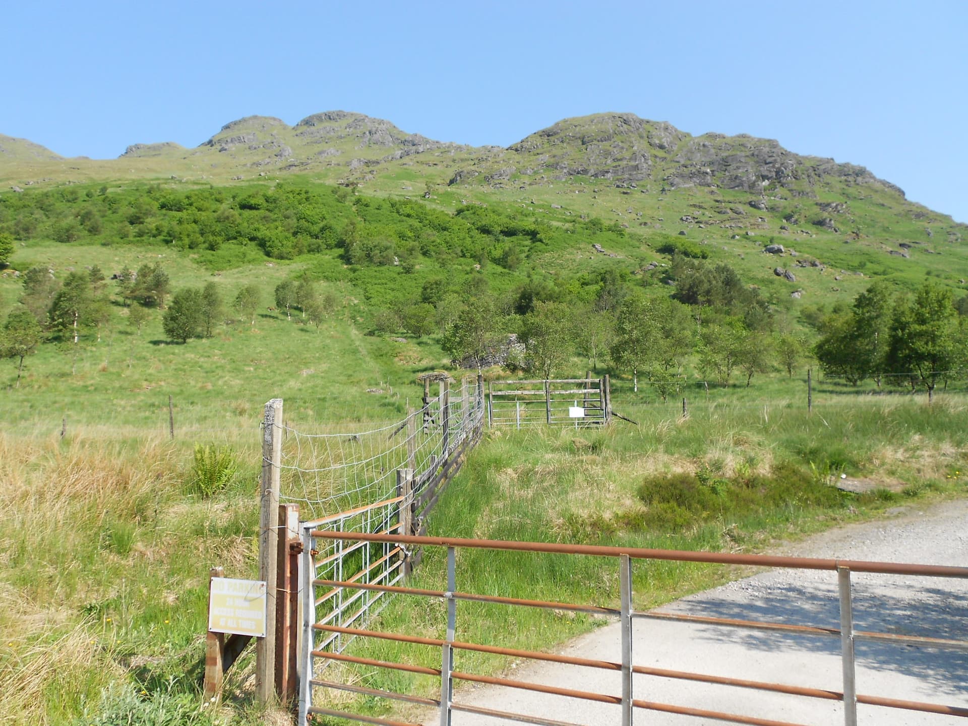
Above: The required gate for SS32 is at centre mid-ground. SS32, typically ‘trivialised’ by the camera, is behind.
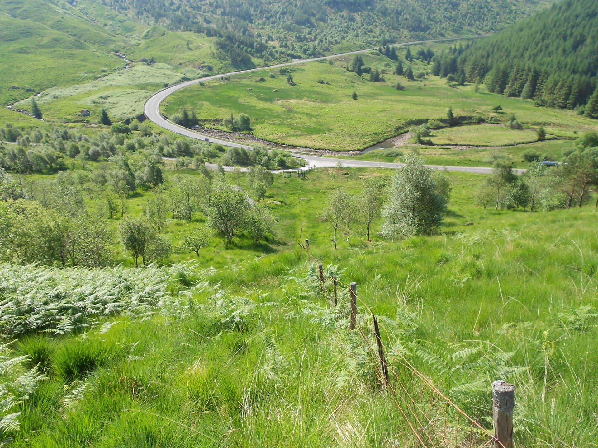
Above: Looking back
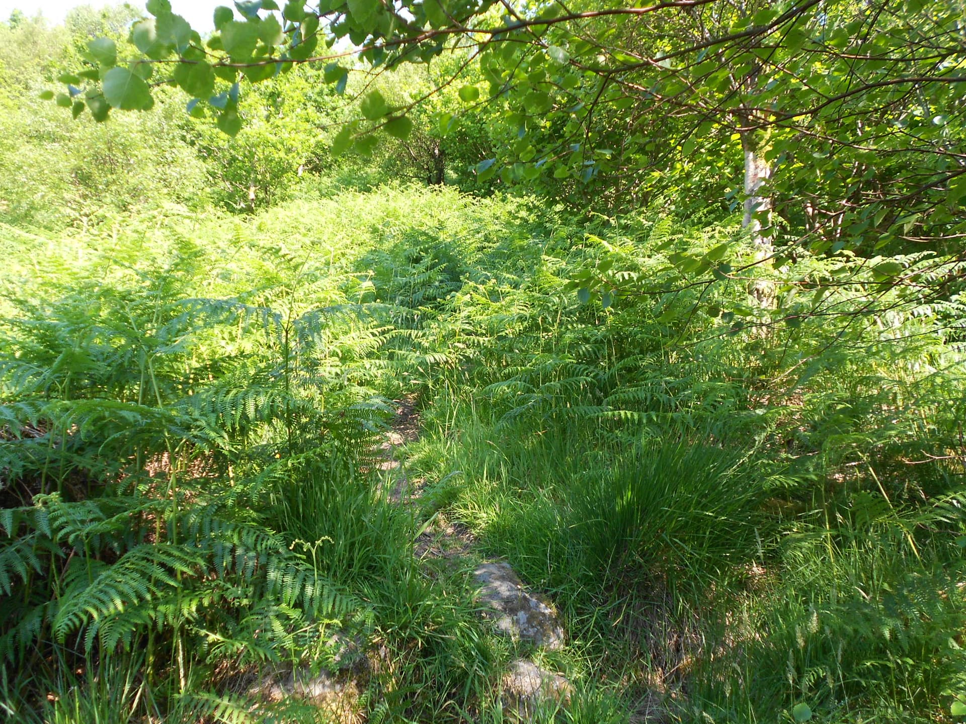
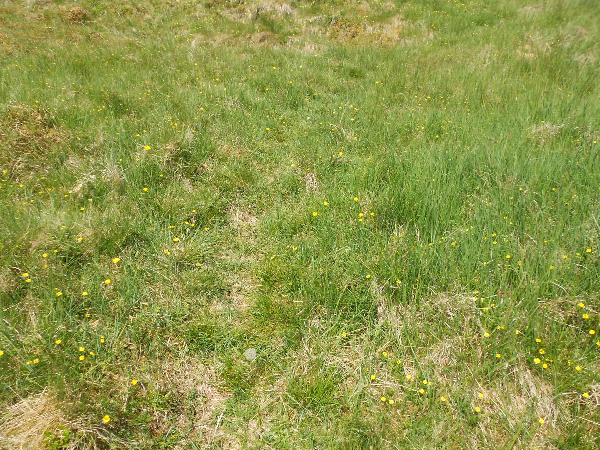
Above: The path. Check afterwards for ticks!
Above: Ladder stile ahead after crossing a minor watercourse which wasn’t quite dry despite the heatwave.
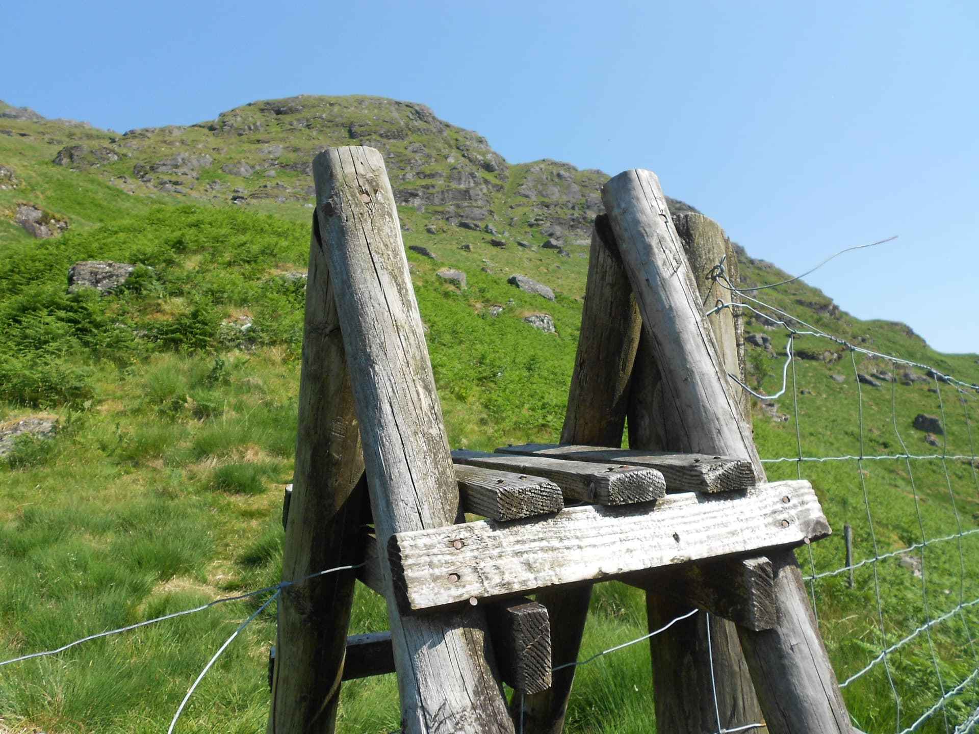
Above: Over the ladder. SS32 beyond
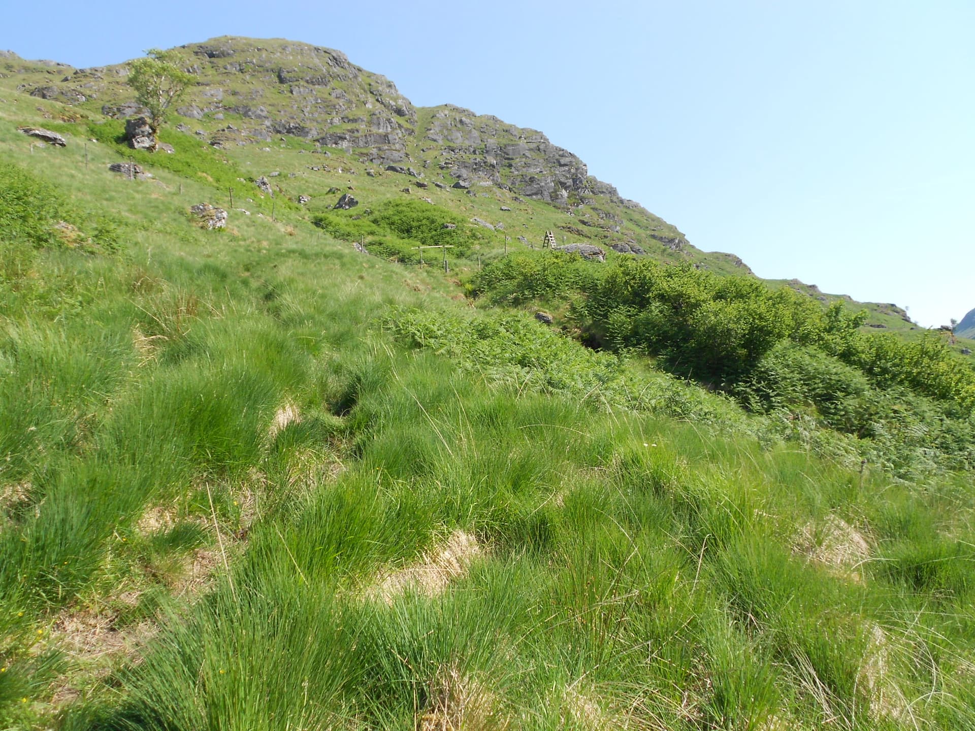
Above: Follow the path which goes up the grass gully at centre.
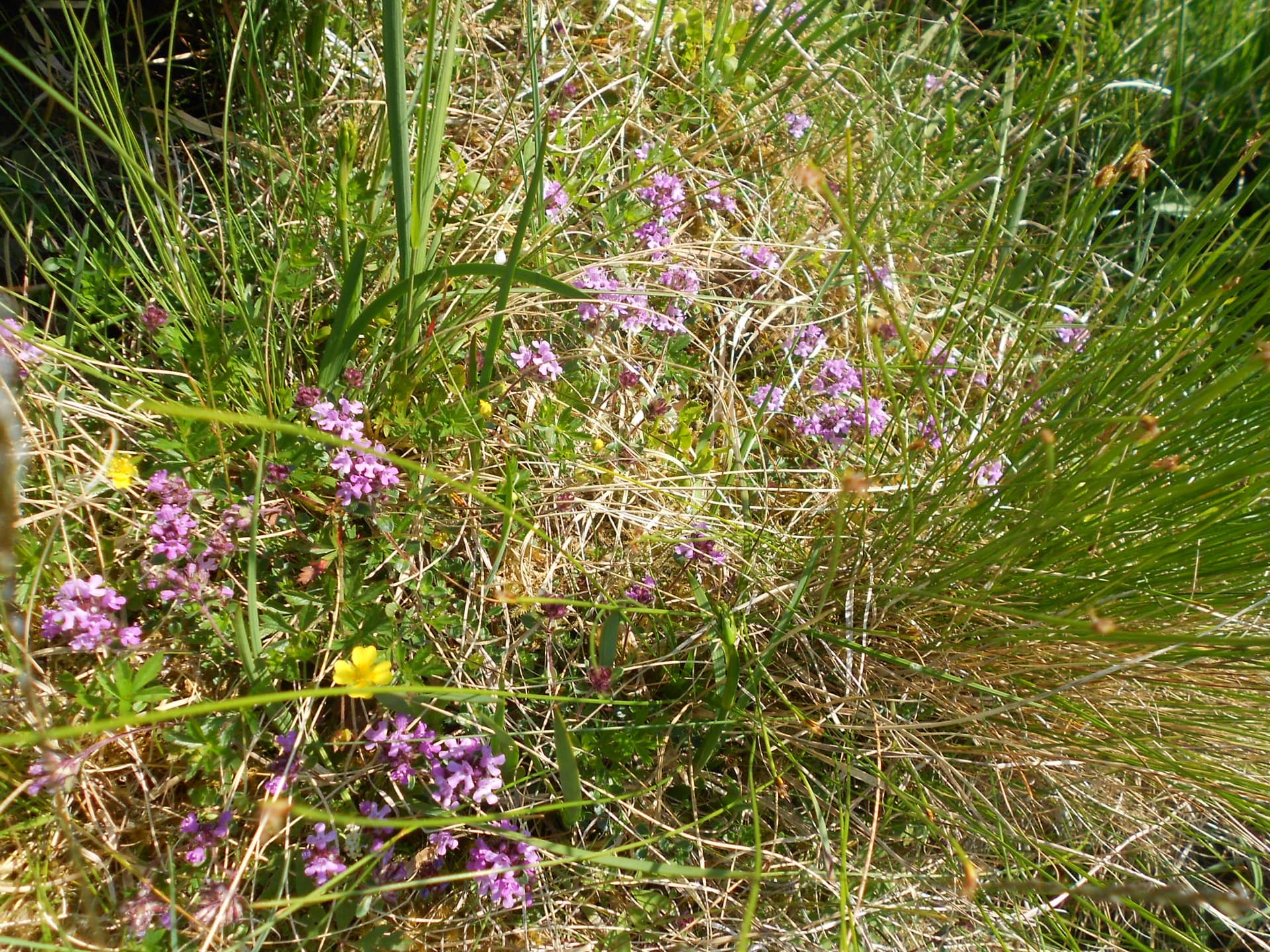
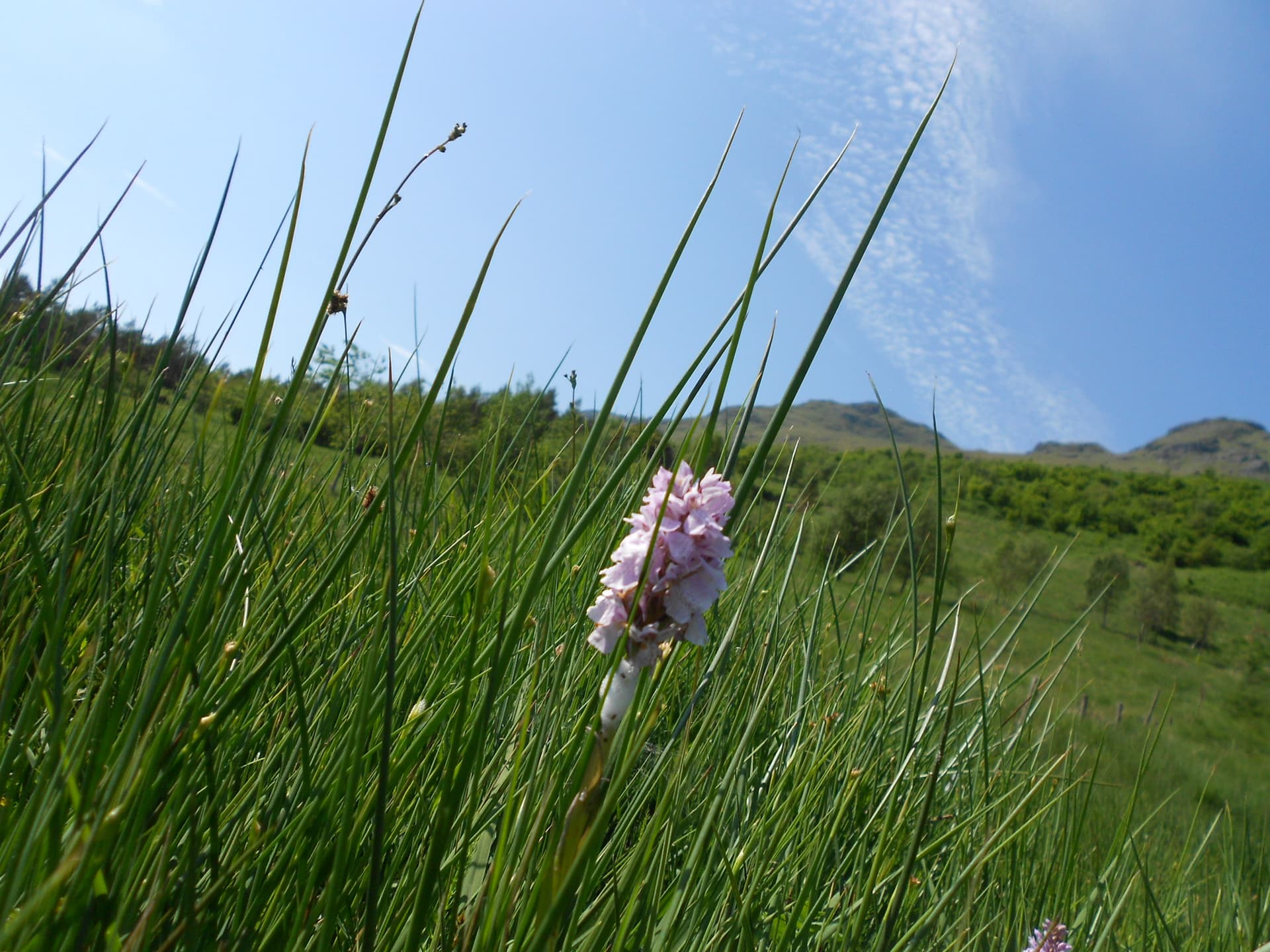
Above: Wild flowers on the way
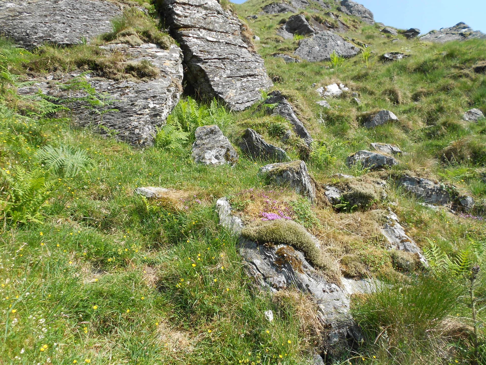
Above: Gully and path. It’s steeper than this!
Above: Topping out of the gully - looking back.
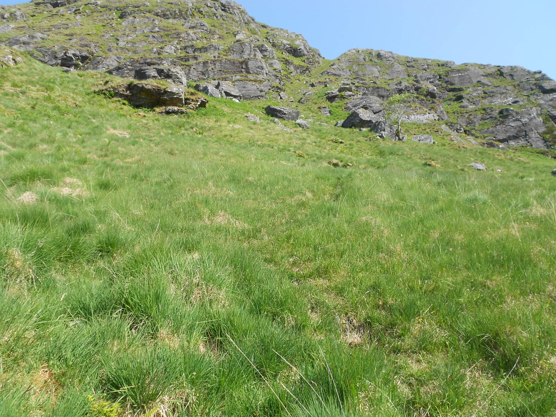
Above: The path is easily lost when it crosses relatively level ground but better defined when ascending steeply.
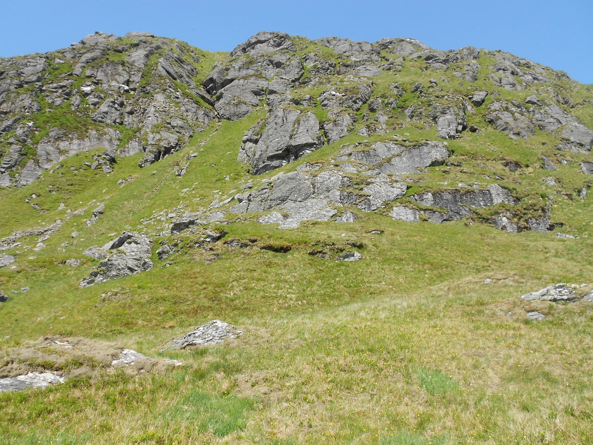
Above: This looks slightly intimidating in ‘real life.’ The path goes straight up the steep gully 1/3 in from left of photo. The alternative, which I took, slopes up on grass to the right then hairpins left, to pass the top of the gully - recommended.
Above: A little nearer the aforementioned gully. Here a decision is made. Straight up it or slope right?
Above: The alternative slope going right
Above: Looking from the slope path past the gully which is now hidden in the rocks to the right
Above: Heading up
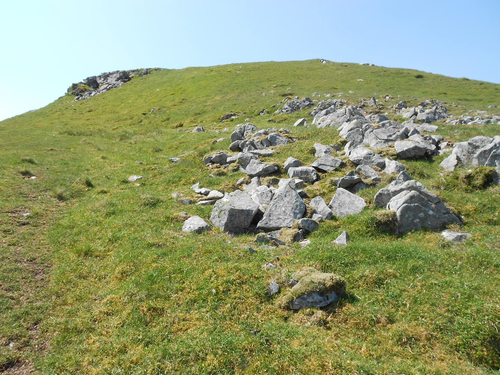
Above: The final push to the summit. About 100m to go.
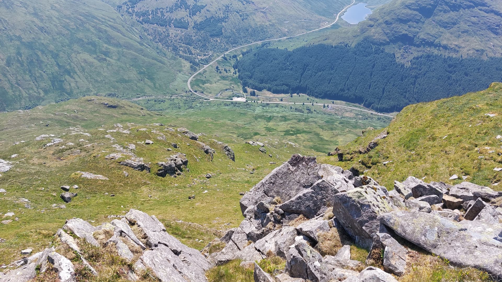
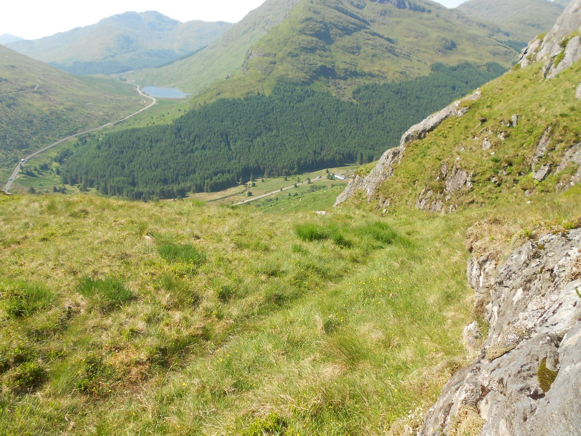
Above: Looking back to the A83 from the summit. Loch Restil at top of photo and the parking place showing in white
Above: Looking ‘Eastish’
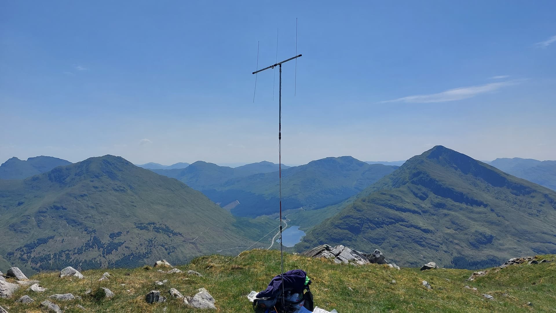
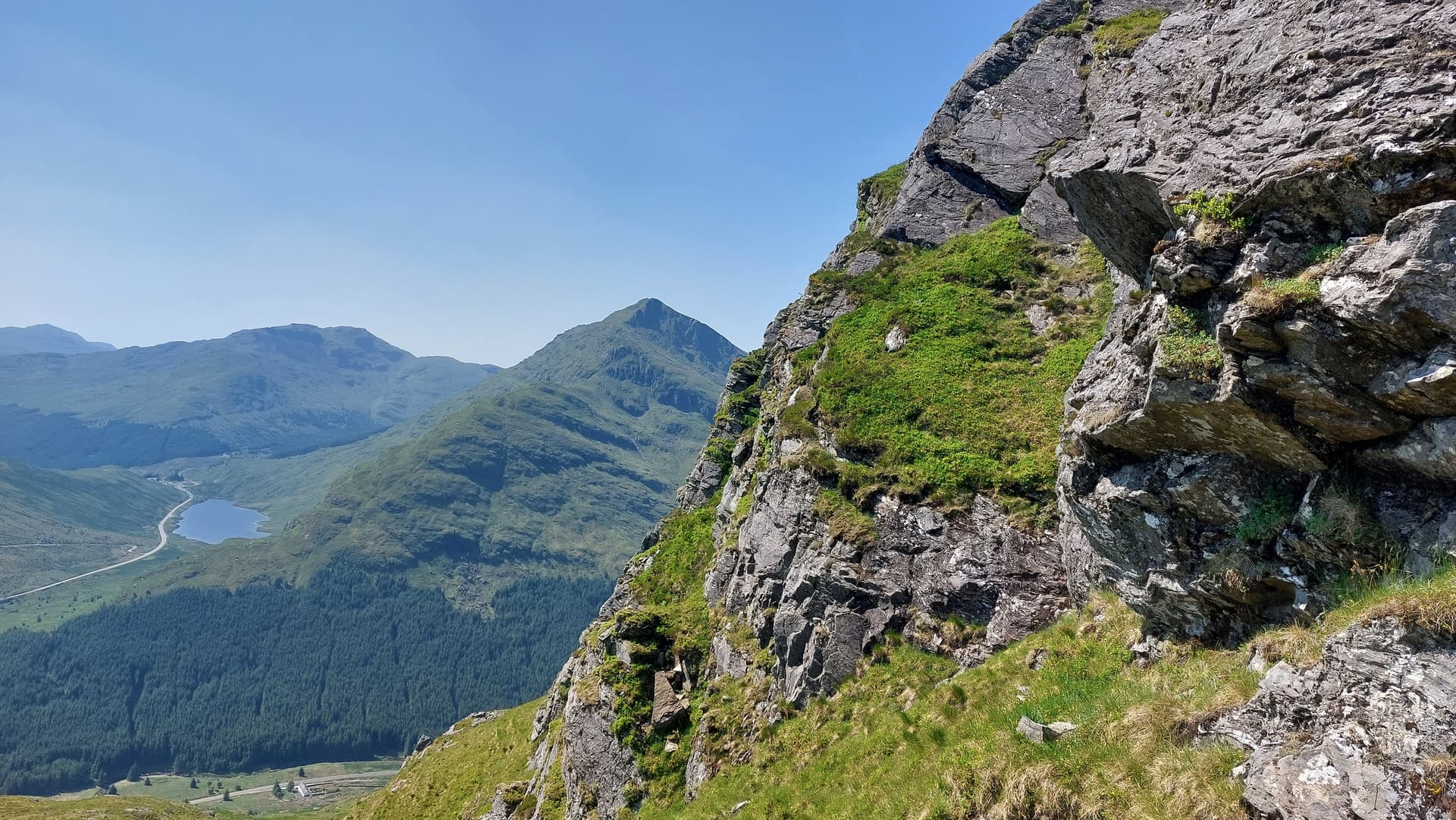
Above: Activation of GM/SS-032 on 2m-FM using 25W to a SOTAbeam. Ben Ime SS6 to the left; Beinn an Lochaine SS18 to the right and Ben Donich SS27 further away at right of centre.
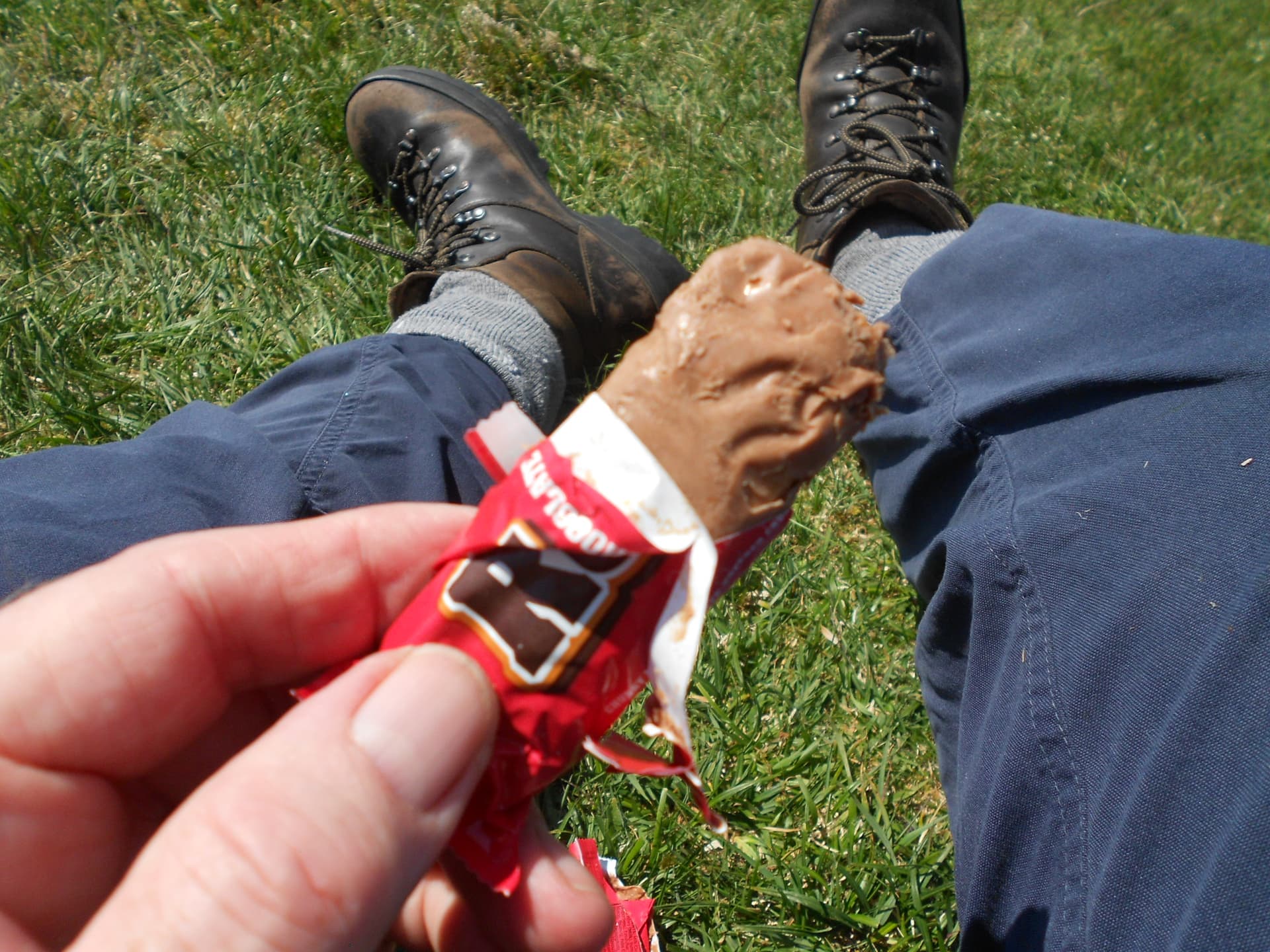
Above: Soggy lunch
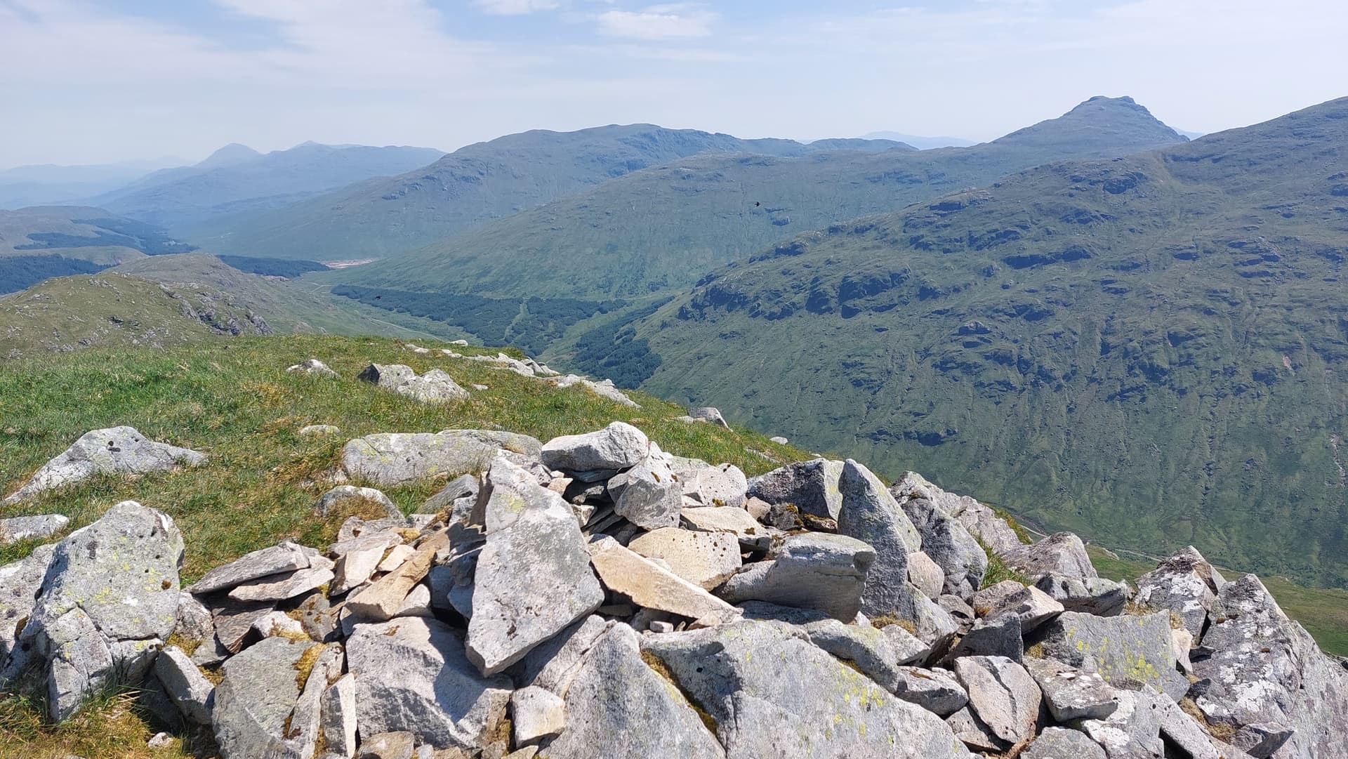
Above: Looking west at the subsidiary peaks of the group. Creag Bhrosgan and Binnein an Fhidhleir.
Above: Almost down - looking back
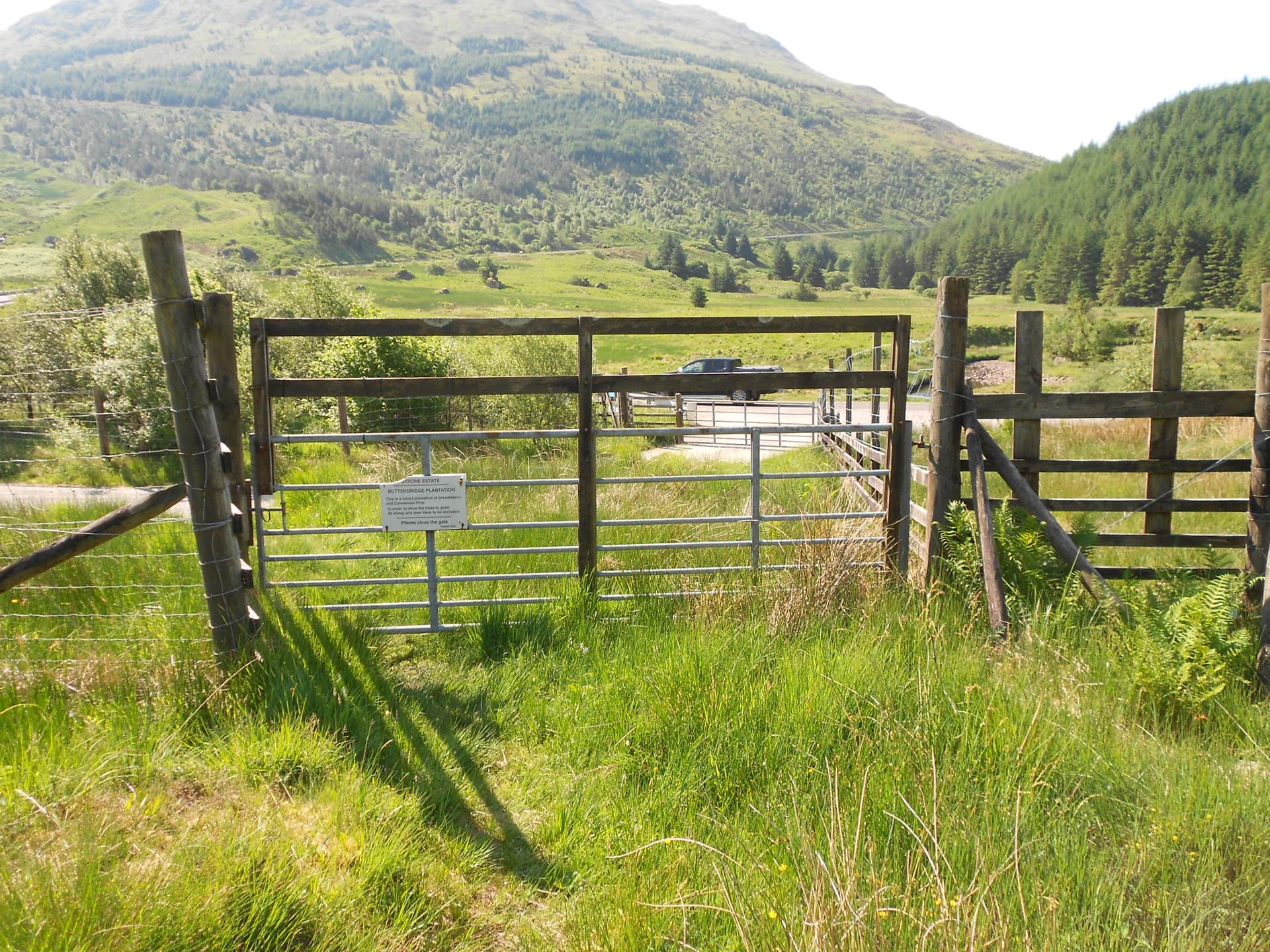
Above: The gates at the end of Glen Kinglas at the A83. (photo in the morning)
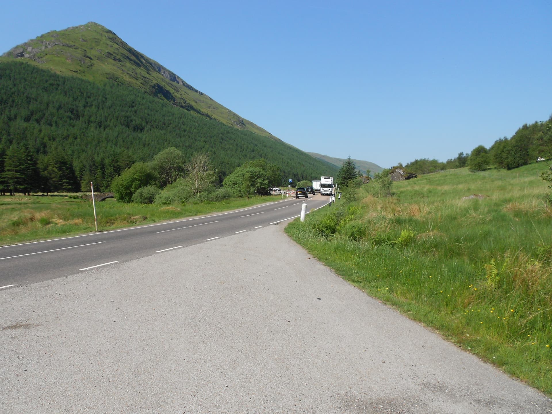
Above: Along the A83 and back to the car. Aircon ON! (photo in the morning)