G4YSS: G/NP-018 Nine Standards Rigg on 2m-FM, 25-05-26
Issue-1 pse rprt errors
Activation of NINE STANDARDS RIGG G/NP-018 using 2m-FM QRO on Monday afternoon, 25th May 2026
All times: BST (UTC plus 1hr, UOS as ‘z’)
EQUIPMENT:
FT1500 2m-FM 50W mobile transceiver
J-Pole for 2m-FM and a short mast
HRB 11.1V/ 5 Ah Li-Po (No9) battery in ‘as new’ condition
VX150 2m-FM, 5W H/H (not used)
UV-3R H/H. 2-Band, 2W-FM in top pocket (not used)
Garmin GEKO-301 GPS
Pack weight: 9.5kg (21 pounds) inc light hooded fleece (not req’d)
INTRODUCTION:
This was the second activation of a 1-week holiday at Bramaskew Farm B&B 2-miles north of Sedbergh. This place was new to us but I can readily recommend it especially if you like good home cooking and have a good appetite. It’s a sheep farm run by Janet & James and located at the end of a track off Howgill Road in very picturesque surroundings.
EXECUTION:
In the morning we visited Hawes, my XYL looking for an illusive (or imagined) Craft shop and cafe on the way. No not Farfield Mill – we did that the day before. Hawes was crowded and busy especially with motorcycles; typical of a Bank Holiday Monday. We bought two ice cream cornets which cost us a tenner, then drove back to the B&B.
I set off on the drive to the Nine Standards at around 1pm passing travellers and Gypsy caravans parked along the way, especially at Cote Moor. Appleby horse fair is almost upon us. The journey took 36 minutes; the ascent starting at 13:42 in 26C full sun but with a minor breeze, via the route detailed below.
ROUTE to NP18:
From the B6270 Kirkby Stephen to Keld road at NY8084 0429, a path goes initially north then NE via NY8079 0464 where you turn right, passing through two gates in fences at NY8081 0469 and NY8091 0483. The path swings right at NY8096 0499, crossing Rigg Beck at NY8128 0515 and going via NY8138 0529 and a boggy section (amongst other places) at NY8151 0554. It then descends a little to cross Rollinson Gill at NY8157 0564 before veering left and up to a small shelter at NY8156 0573. The Coast to Coast Walk guidepost is at NY8173 0577.
After this there are only minor fluctuations in direction. Follow the wet path via NY8219 0610 up to NY8233 0618 where you can veer off right to the trig at NY8254 0611 or continue left on the path to the Standards via the viewpoint at NY8242 0632. There’s a low ruined building at NY 8251 0651 which can provide some shelter but it’s screened for VHF. The higher reaches of the path are black and boggy; easily lost in bad visibility or in the dark. A paved path now joins the standards to the viewpoint then the trig and beyond.
There’s only 152 metres height difference between the parking place and the summit of NP18 but there’s significant re-ascent to be added to this route which results in 226m of ascent for the full walk, there and back. I hope I’m right? Maybe someone could check as it
seems I’ve been understating it as 172m since 2003.
Today after passing the viewpoint and visiting the standards, I doubled back to walk just beyond the trig point to a small ruin at NY 8261 0603 which is both high enough ASL for VHF and would provide a bit of shelter in bad WX.
Ancient Campover:
This is a route I’ve walked since first activating NP18 in 2003 but I have only activated it ten times – significantly fewer than the more popular NP’s. The database says so but in fact claiming ten is a bit of a cheat as it’s actually nine ascents. This was the scene of my first new year summit camp 2004-2005 and it caused ‘questions in the house.’ After some discussion amongst the SOTA management regarding this hitherto unheard of points fiddle, I was allowed the full 14 SOTA points on offer. Mind you they were well earned in getting 61 pounds up there, excluding the water needed for my dehydrated food. To add that I had to find a stream (NY 8201 0591). It was in the days when we lugged up to three lead-acid SLAB batteries and a 100W rig for HF, not to mention the camping gear. Happy days but I wish I still had that stamina and the determined mindset that went with it.
G/NP-018 NINE STANDARDS RIGG, 662m, 4 pts. 14:33 to 16:38 Sunny, 24C, 5 to 7 mph breeze. IO84UK; WAB NY80. Trig Point TP-5129. (EE phone signal)
The J-Pole was set up with the mast wedged into the top of the shelter. There was a choice of sitting in the sun with the breeze in my face or cowering in the shade with much less airflow. The thermometer read 24C, and the sun was strong, so I chose the shade. Me and sun have never got on very well but I wasn’t complaining today with just one summit to do.
145.400 FM - 14 QSO’s:
After a self spot I called CQ. I don’t think he was responding to the spot but I was heard by G0VRR Phil in Darlington on a 1995 vintage FT736. G0PMJ Dave’s call came next from the same town, having been narrowly beaten into second place by Phil. They know one another but Dave commented that he was ‘worn out from grass cutting in the heat and not quick enough on the draw.’ RS’s were all 59 so far.
Then I heard ‘Summit to summit.’ This was Graham 2E1GPR on Cracoe Fell G/NP-032 at 52/ 44. He was running 2.5W from an FT4X 2-band H/H coupled to a half-wave flower pot vertical made from RG58. He was having a snack when he heard my CQ.
Next in was G0CLT/P Ray ‘under Eston Hill’ which is near Middlesbrough. Ray was signing /P and using a /P setup but was actually in his own back garden having ‘escaped’ there in deference to his visitors who don’t do radio. I know the feeling! The exchange was 55 / 57-8 but earlier on his home base I was 59.
Dave G0PMJ called back in. Apparently he’d got a message from Mark G7SXR in Leeds. Mark had massive QRM all over 145 MHz and ‘please would I QSY to 144.675-FM?’ You bet I would and we managed a QSO. I wouldn’t say it was easy but he was in my log along with 57/ 32 reports. Success. I am always open to helping in any way I can.
Continuing and back on 145.400: 2E0WRY Laurie in Seaham using an IC290H and 20W; G7BPN Ken ‘overheating in Bishop Auckland,’ M6RDQ Richard at Peterlee; M6ELL Ken in Sunderland with an FT7800 & 25W to a mobile whip on a pole and M7HQE Graham /M in Home Baggers car park, Peterlee.
The final four QSO’s of the day: G7HHK Richard in Appleton Wisk whose family are from my birthplace Bridlington; G8FLV Tony in Northallerton worked quickly on .500 after passing a message about Richard; M8ADR Steven using an Alinco DJ190 with 2W to an X300 in Middlesbrough.
And the final station squeezed in at the end was M0MKU Darren at Maryport using a 1980’s FDK Multi 700E outputting 9W to a Diamond X50. ‘G4YSS/P is going QRT if not called.’
Power was generally 25W but 50W was needed two or three times. Reports were very mixed with only seven of the 28 reports 59.
The Descent:
With another rock for my collection, the walk down took from 16:38 to 17:23. A sweaty business!
COMMENTS:
This SOTA was a late choice. I was going to put on NP16 Dodd Fell but having driven the XYL almost there in the morning I didn’t fancy a second trip. Besides, after looking up the records I haven’t been up NP18 since 2017 so a revisit was well overdue. I have many memories of this hill; the new-year camp, several dark activations for Top Band and one tricky descent in pitch black and thick fog which challenged my nav skills. It was like walking in a tunnel.
I wouldn’t say walking was particularly pleasant in 26 degrees of heat. A ‘grin and bear it’ attitude was needed but at least there was some breeze at most points along the route except maybe at the beck crossings.
The activation itself was comfortable but for some reason I can’t recall ever noticing this ruin (at NY 8261 0603) in the past. Someone has made flat seats from available stones (of which there are many) on both sides if the wall and I’d be willing to bet that SOTA activators have had their input in that respect.
Conditions on 2m seemed good and people were talking of a lift. Tropo is more noticeable on SSB with gain antennas than on short range FM so I couldn’t be certain of that despite the high atmospheric pressure. As on NP15 the day before, this was a slow moving activation with a few returns back to S20 for CQ’s but that gave the opportunity for chatting.
Mark G7SXR must have been extremely frustrated by the local racket on and around the freq I was using – he blamed this on possible solar panel inverters - but it all ended well when, thanks to a QSP via Dave G0PMJ, Mark and I made a good QSO 1 Meg down. I know Mark is disappointed if he can’t work me on his favoured band and mode and it’s the same from this end. Noise must be dire indeed to affect FM and it’s very annoying. I know Roy G4SSH was affected badly at times when chasing on 40m in winter He blamed that on thermostats. I remember erecting a 40m dipole for him to use in place of his vertical and that helped somewhat.
Provided there’s time, it’s quite interesting to discover the working conditions of the various stations. In this case they ranged from big collinears to mobile whips on poles and from just 2 Watts up to 50. The tiniest signals present the biggest challenge but you can sense the enthusiasm and desire to make a QSO despite all the difficulties.
ASCENT & DISTANCE:
226m ascent, 6.8 km up & down (standards)
(8km if taking in standards, trig and today’s shelter)
Times (to/ from viewpoint):
Ascent : 51min,
Descent: 41min
Summit time: 1hr-54m at the ruin/ QTH
Chronology:
13:38 Left B6270
14:29 Arr Viewpoint
14:33 Arr Standards
14:40 Arr Trig Pt
14:44 Arr Ruin (QTH)
16:38 Left QTH
16:43 Passed Viewpoint
17:22 Arr B6270
QSO’s:
14 on 2m-FM
SOTA Points: 4
THANKS:
To ALL STATIONS worked and the SOTA spotting service. To Dave G0PMJ for helping Mark G7SXR get his QSO.
73, John G4YSS/P
Photos: 1-4-6-7-8-11-13-14-15-17-19-143437p-23-21-26-27-31-32-map-33-145212p-162301p-40-41-42

Above: First section. Looking back to the road
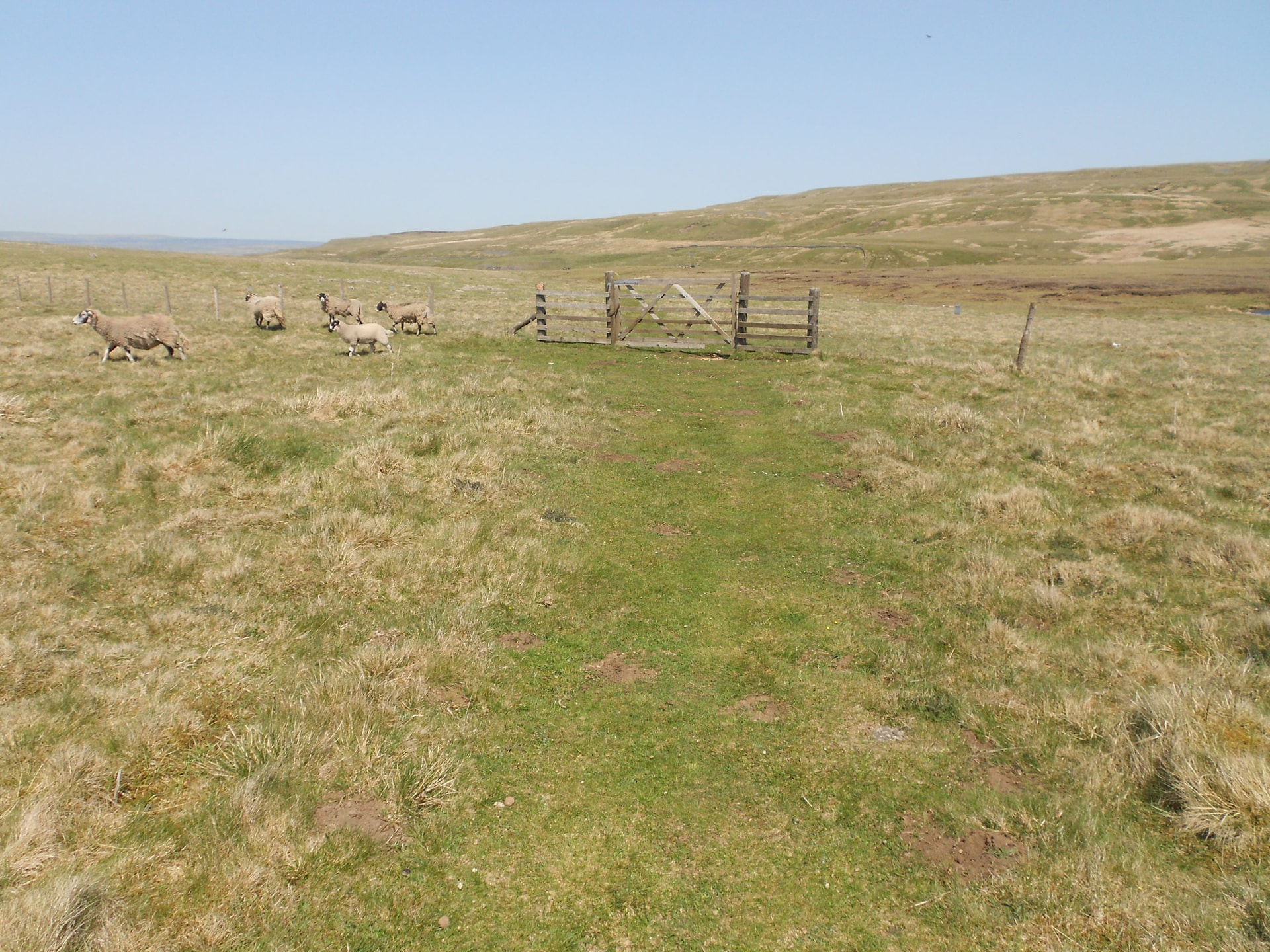
Above: The first gate

Above: The second gate
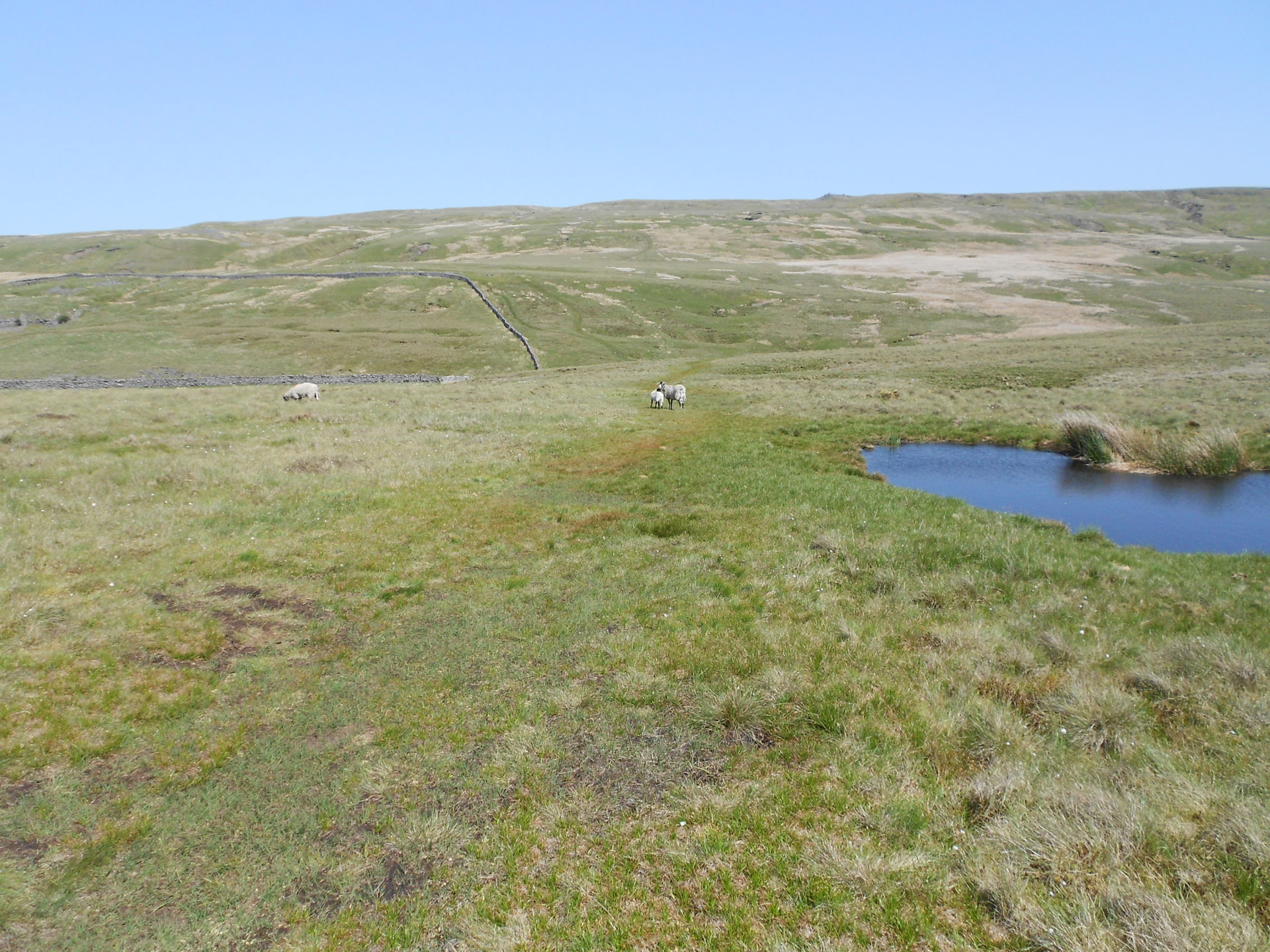
Above: Coming up to the first beck crossing - downhill for a while
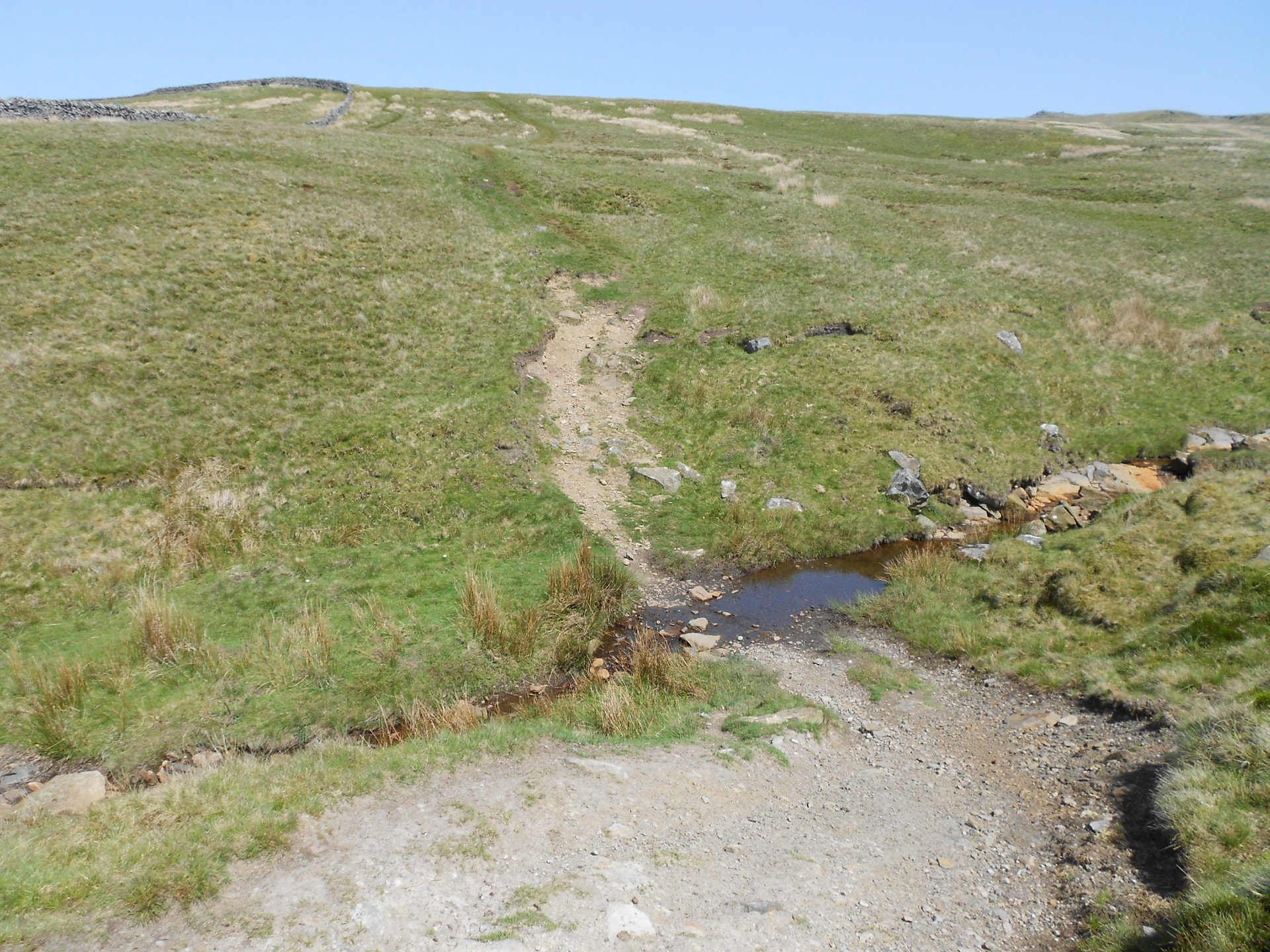
Above: Crossing the first beck
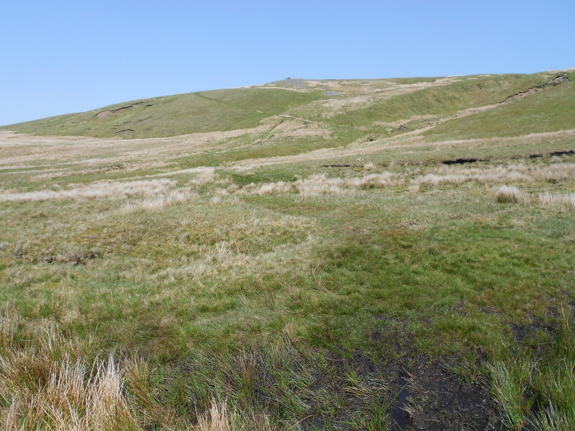
Above: Looking up towards the second beck crossing and cairn
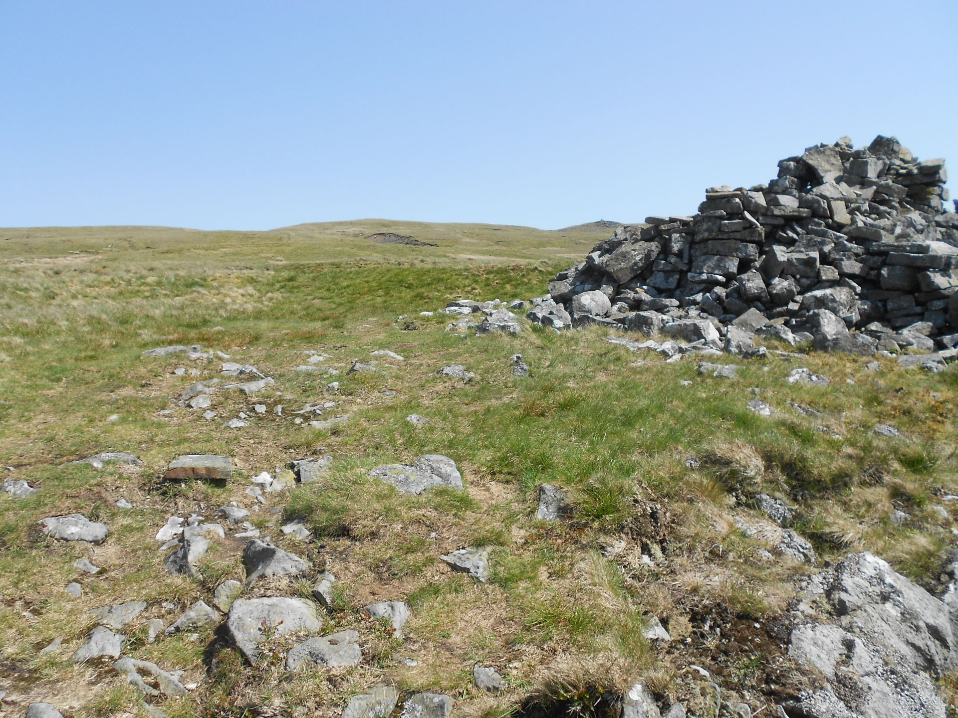
Above: Passing the large cairn
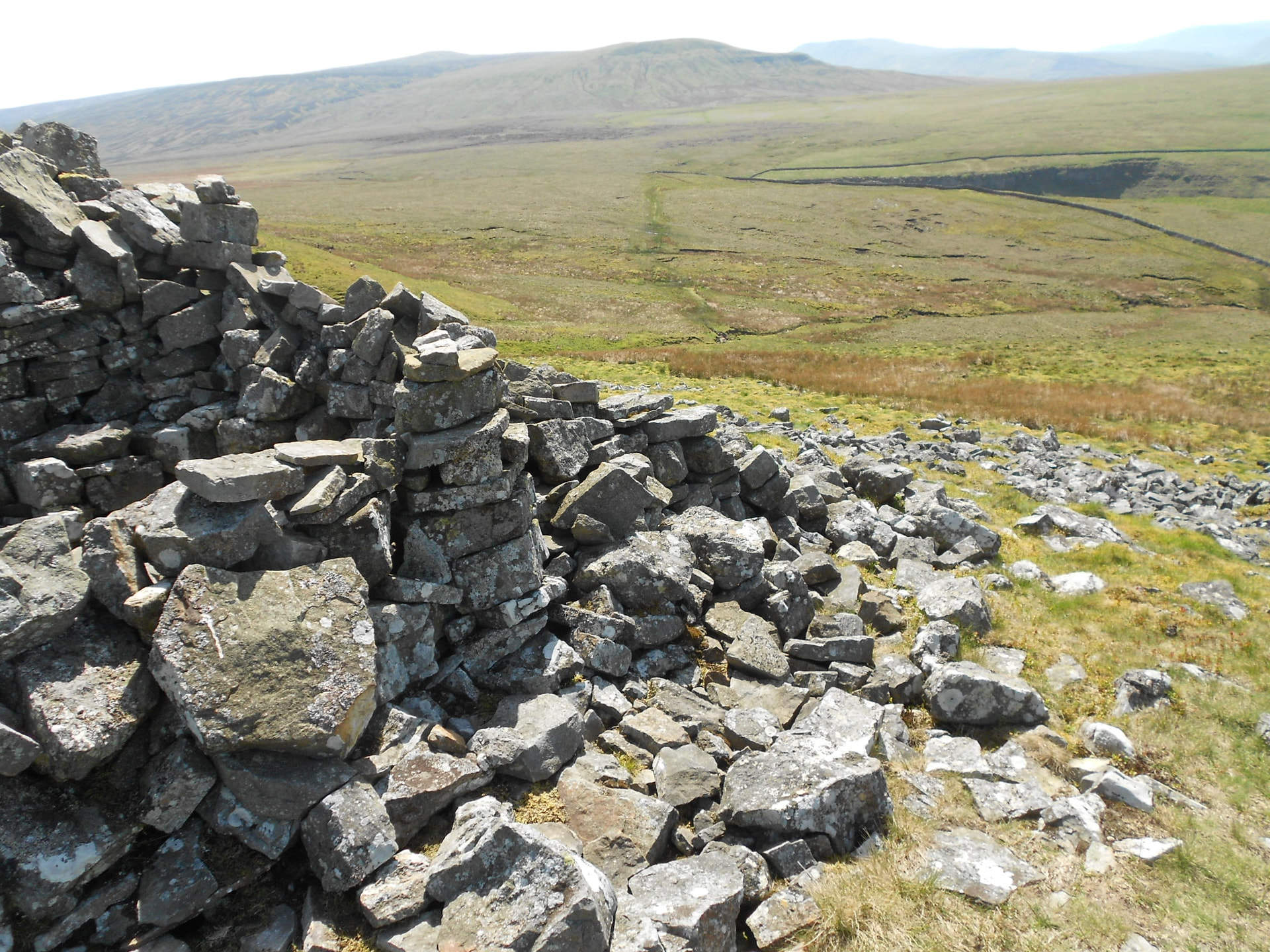
Above: Looking back at the boggy path
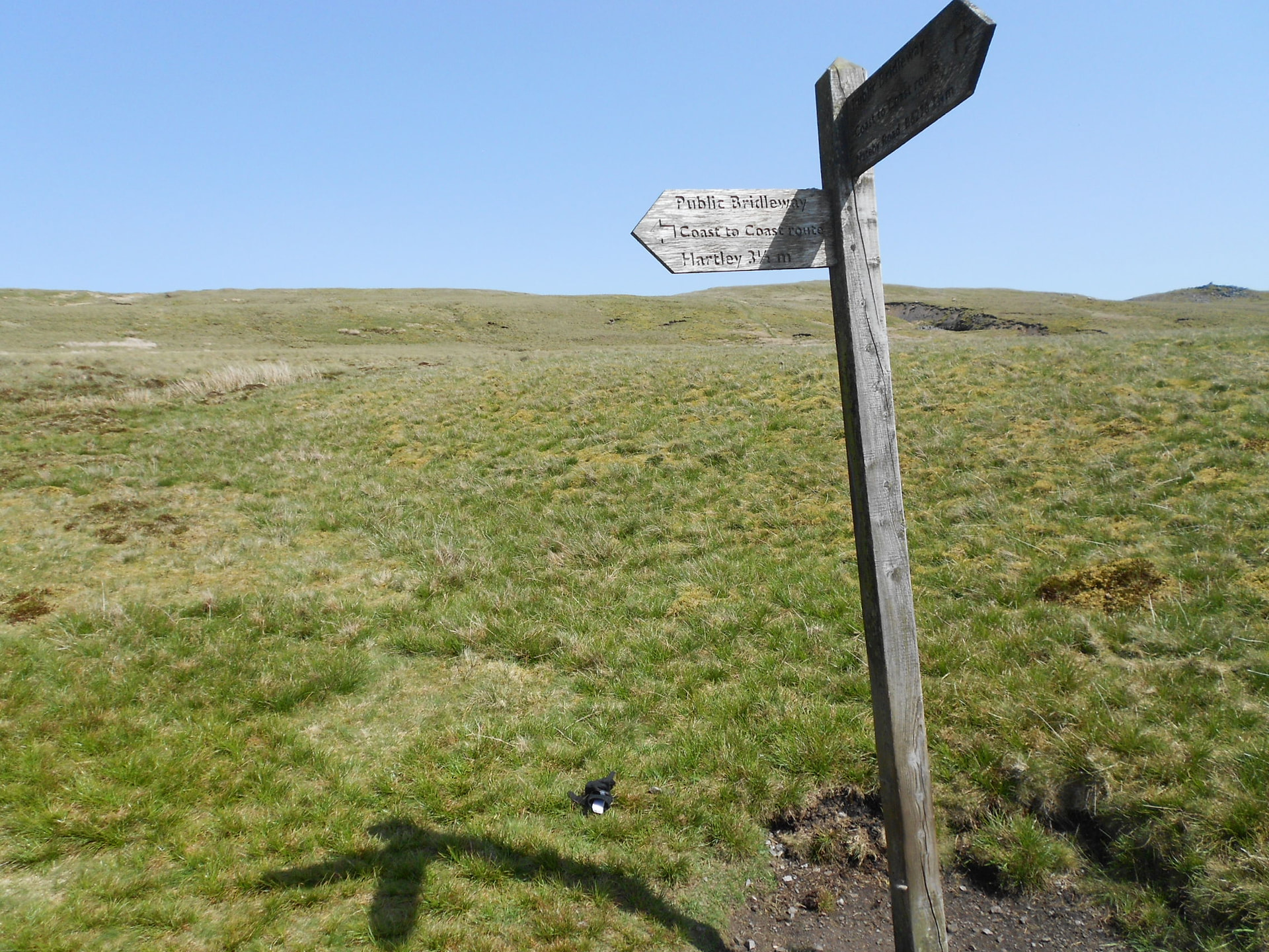
Above: Crossing the Coast-to-Coast walk
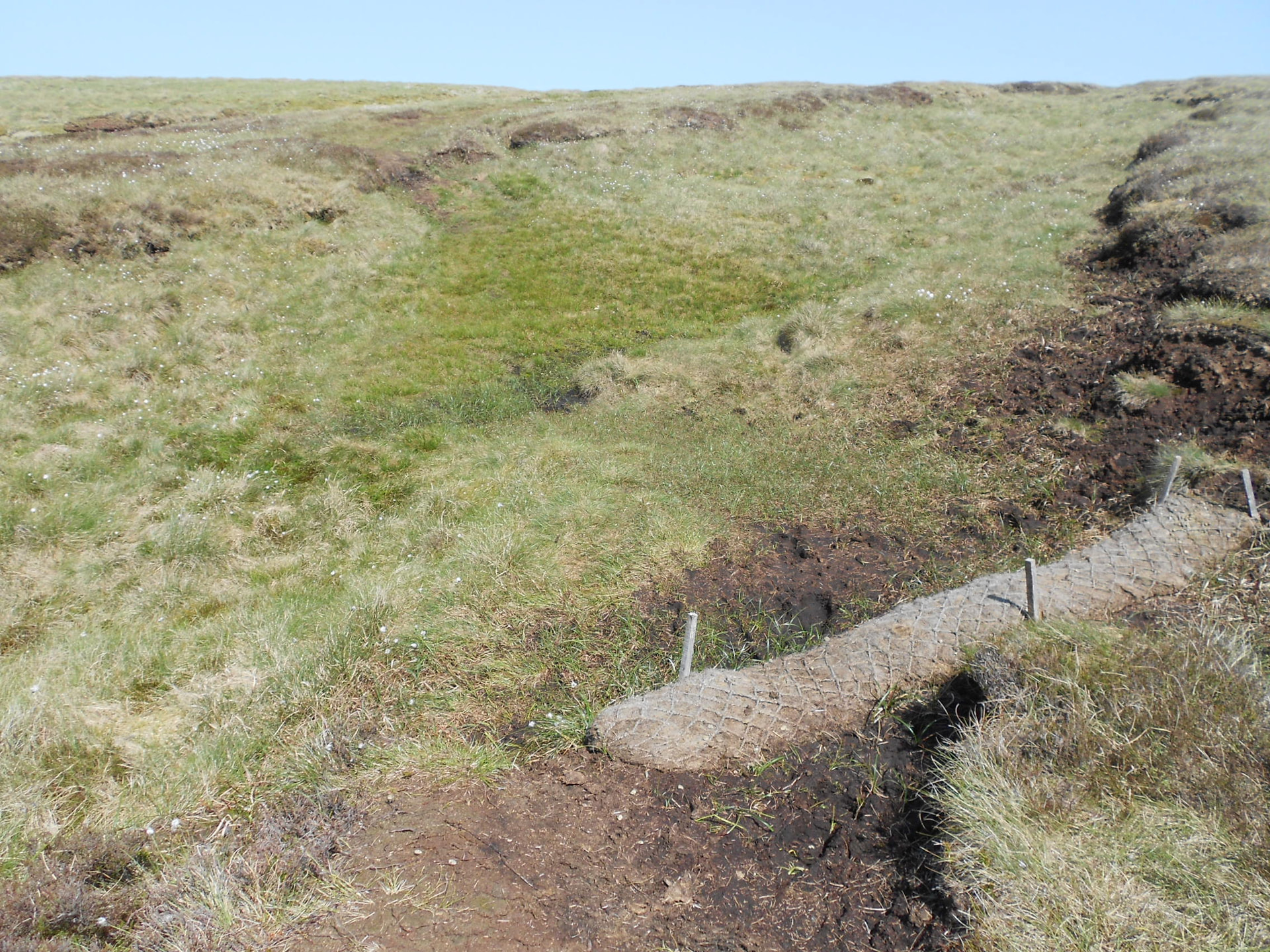
Above: Various attempts to deal with the boggy areas

Above: The viewpoint. Standards in the distance
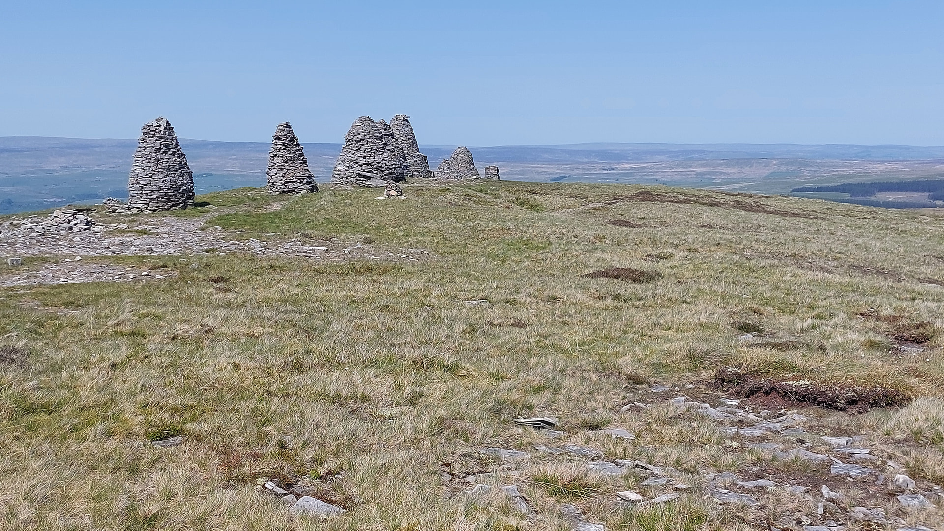
Above: Where Nine Standards Rigg gets its name. Much work has been done on these in recent years
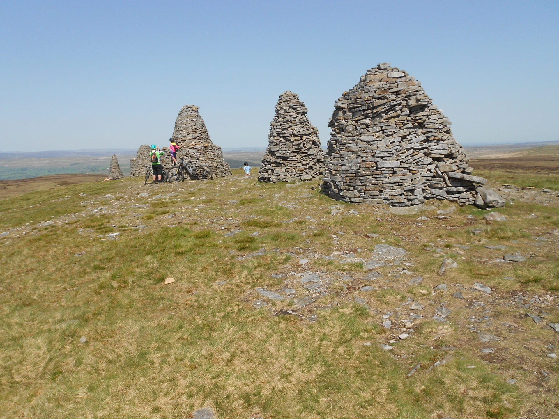
Above: Another view of the standards
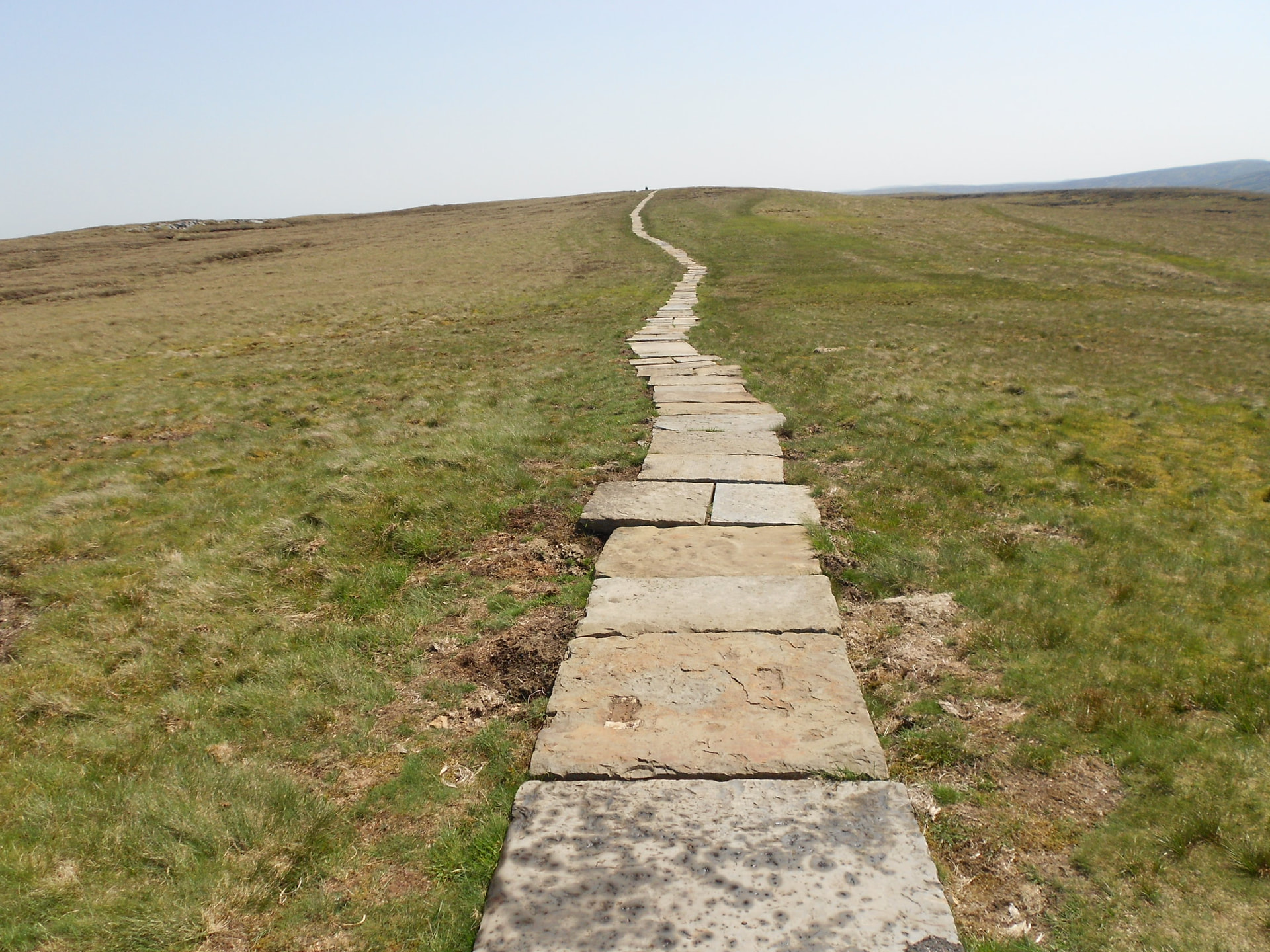
Above: View of the trig and path from the standards
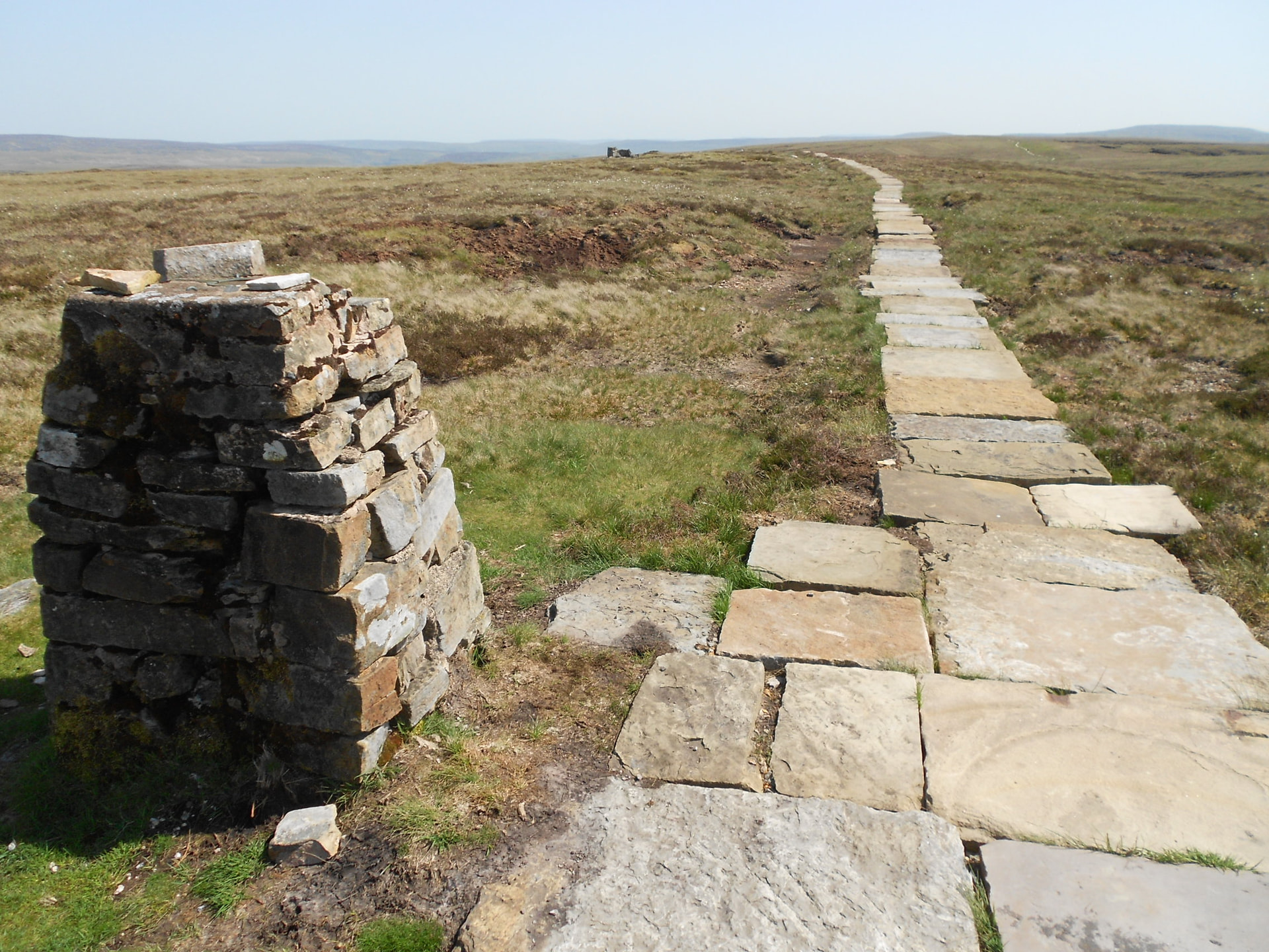
Above: Trig point in need of pointing. Ruin (today’s QTH) in the distance
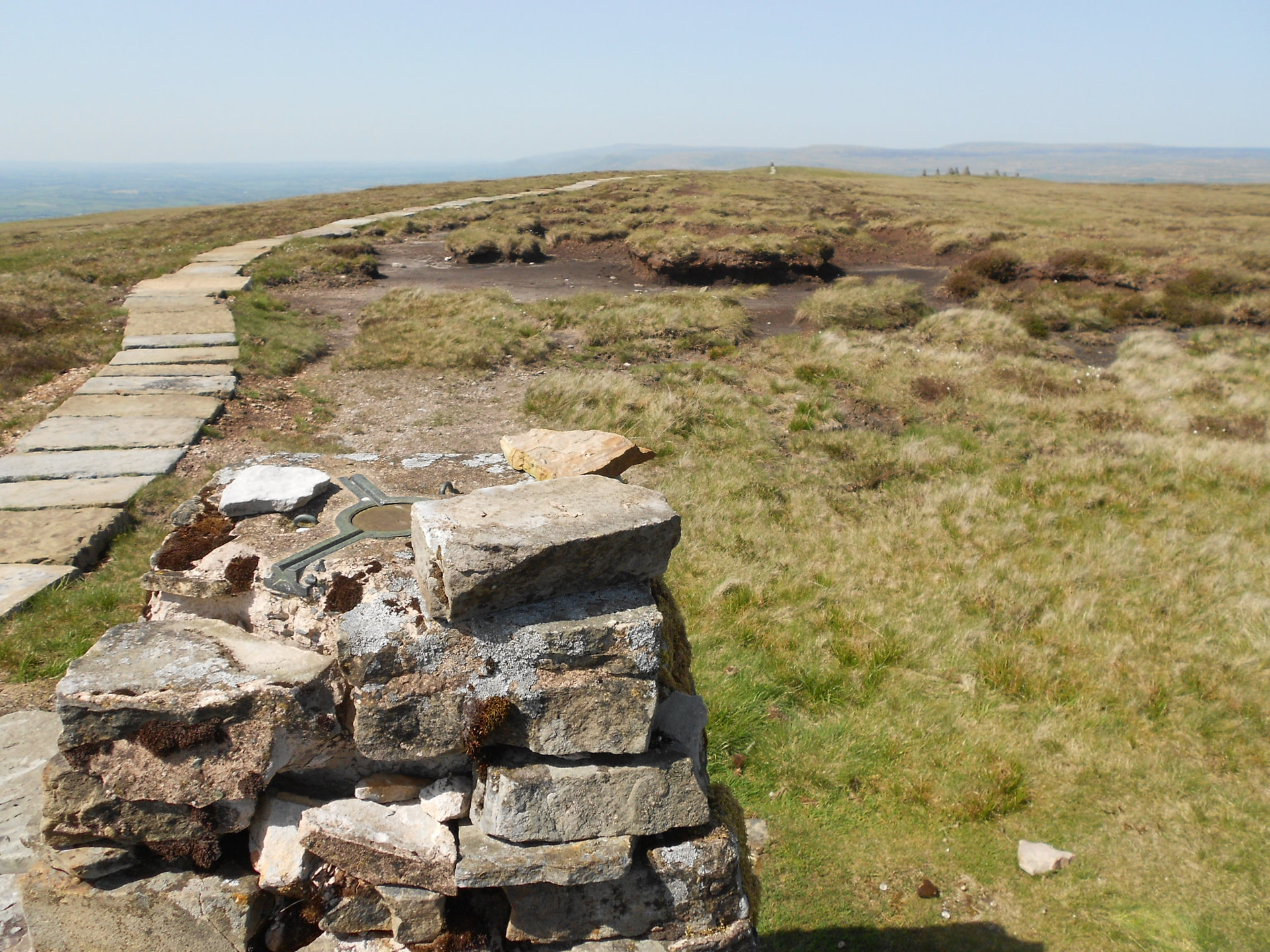
Above: View back from trig to standards
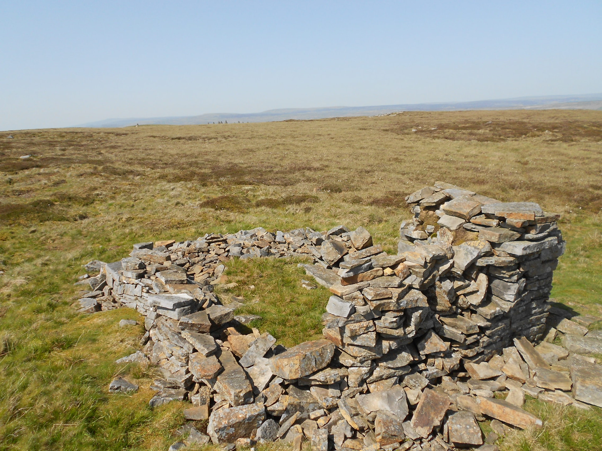
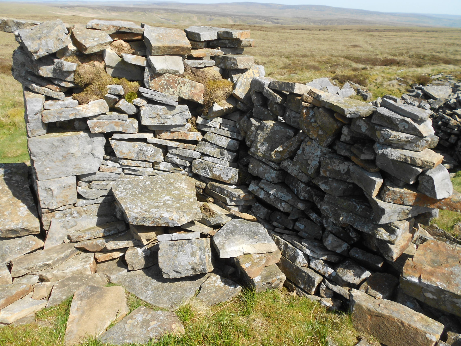
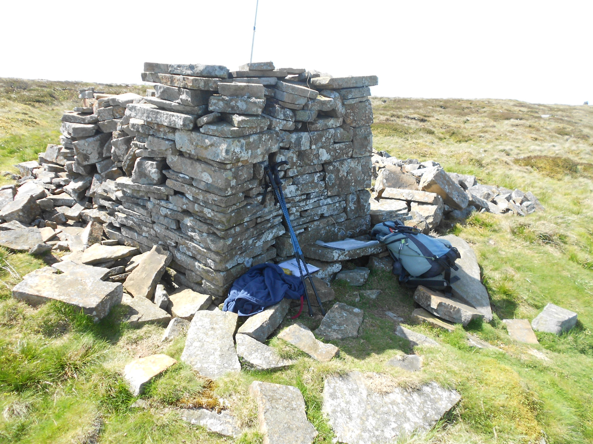

Above: The ruin. Home for two hours. 50k map showing location
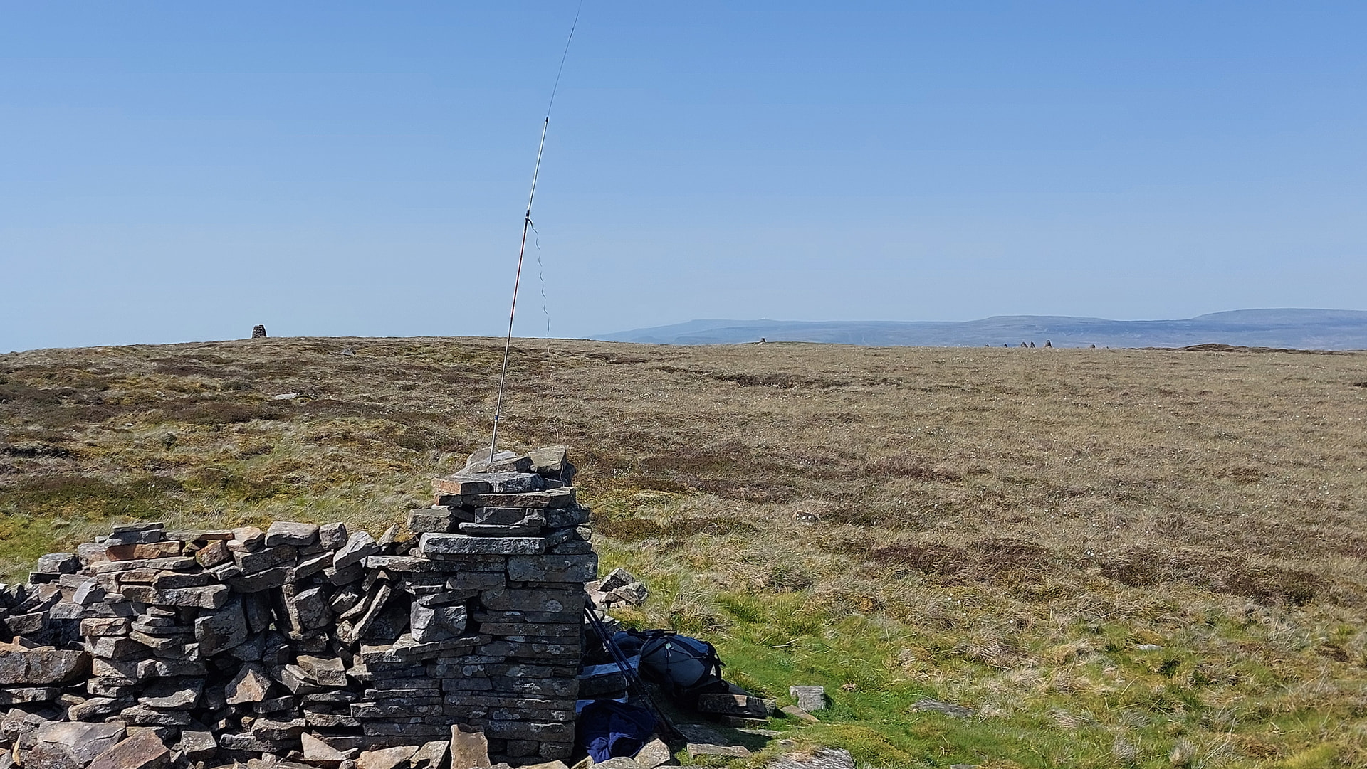
Above: Activation on 2m-FM
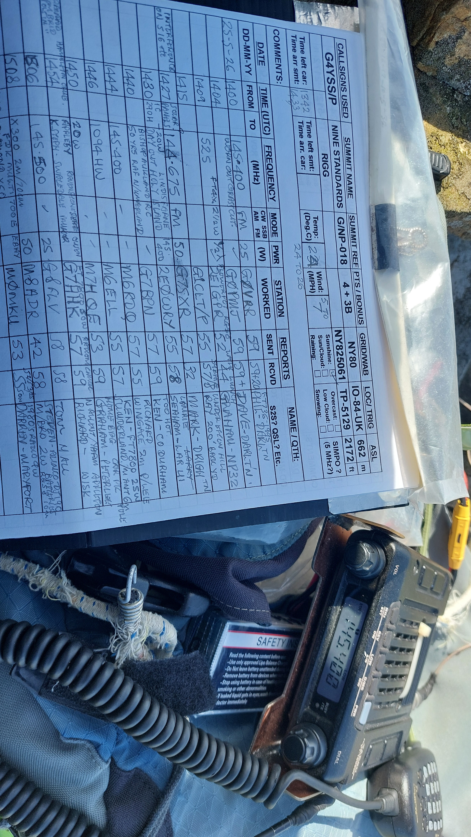
Above: Log and rig at QRT
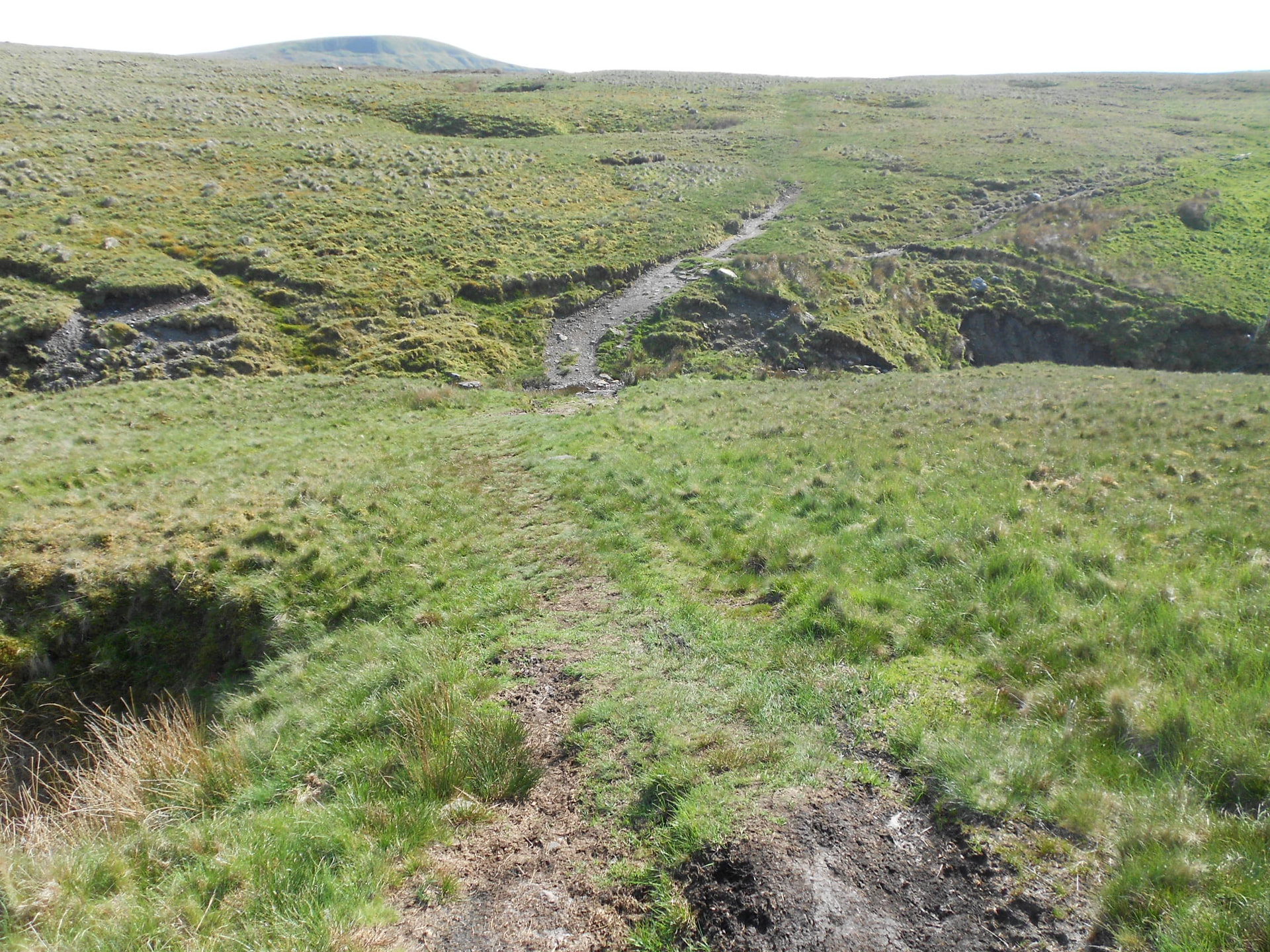
Above: On the return

Above: Driving back towards Kirkby Stephen
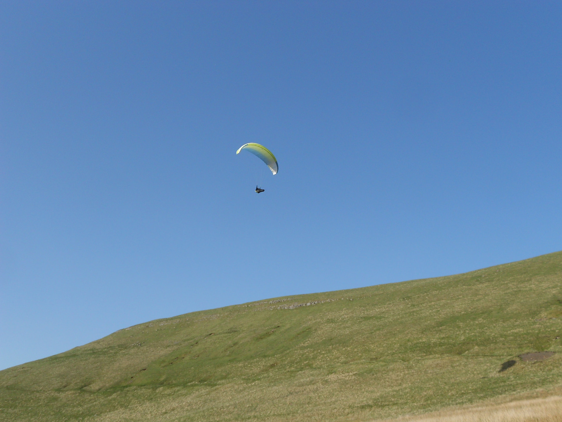
Above: Ridge soaring on the edge of Nateby Common, an outlier of Nine Standards Rigg