G4YSS: G/NP-016 Dodd Fell on 2m-FM, 29-05-26
Issue-1 pse rprt errors
Activation of DODD FELL G/NP-016 using 2m-FM QRO on Friday afternoon, 29th May 2026
All times: BST (UTC plus 1hr, UOS as ‘z’)
EQUIPMENT:
FT1500 2m-FM 50W mobile transceiver
J-Pole for 2m-FM and a short mast
HRB 11.1V/ 5 Ah Li-Po (No9) battery
VX150 2m-FM, 5W H/H (not used)
Garmin GEKO-301 GPS
Pack weight: 9.5kg (21 pounds) inc regular fleece
INTRODUCTION:
This was the fourth and final activation of a 1-week holiday at Bramaskew Farm B&B, 2-miles north of Sedbergh. This place was new to us but I can readily recommend it especially if you like good home cooking and have a good appetite. It’s a sheep farm run by Janet & James and located at the end of a track off Howgill Road in very picturesque surroundings. The three previous activations, G/NP-015; NP-005; NP-018, have separate reports.
EXECUTION:
We visited a friend at Kiln Haw, Garsdale in the morning. Mary is the widow of the late Edward G4LWW, who’s been a friend since 1985. I asked Mary, ‘Would you like to do Dodd Fell this afternoon?’ She just laughed. Edward and family, as well as being friends and doing 160m skeds in the 1980’s, have been kind enough to allow me a short cut through their land and onto what is known locally as Rise Hill. SOTA ops will know it as Aye Gill Pike G/NP-023 and I have activated it via that route a few times, sometimes in the dark. It’s still quite a climb from Kiln Haw but not as far as the accepted route. After taking my XYL back to the B&B, I had to drive up the A64 through Garsdale again, travelling via Hawes to access NP16.
NP16 ROUTE (Revised 29-05-26):
Drive along the gated Cam Houses road to Kidhow Gate which is at SD 8298 8339 and park. However, I normally drive north up the Pennine Way track to park anywhere that’s convenient up to around SD 8316 8399. That I found was about the limit for an ordinary car. (Today I parked on the grass beside the track at SD 8306 8374).
Walk North up the PW track and pass through a gate at SD 8323 8413. Go on a further 280m to SD 8341 8435 where a small path bears right off the track. Look for a marker cairn high up on the hill to your right. Take the path which first crosses a beck (often dry) and then climbs steeply via SD 8346 8437 to SD 8350 8437 where you pass within 6m of the cairn (ref SD 83500 84373).
Keep climbing steeply past SD 8353 8436 at which point the gradient eases significantly.
Follow the path all the way to the summit via SD 8362 8436, SD 8371 8438 and SD 8386 8443 where it bends left a little. Carry on via SD 8389 8446, SD 8900 8452 and SD 8404 8456 (avoiding the bog) to the ‘moated’ trig point at SD 8410 8459. When returning this way remember to fork left around 70m down from the trig to follow the ascent route though it likely makes little difference?
All path waypoints were GPS marked on 29-05-26. Disregard the closely parallel route detailed in my previous NP16 reports. You wouldn’t get lost but the above is a more straightforward option over a better defined/ well-used path and very likely the one everybody else has been using for years. It was also mentioned early in SOTA history in ‘Tips’ by Richard G3CWI, so it seems I’ve been more that a bit slow on the uptake!
NP-016: DODD FELL HILL, 668m, 4 pts, 14:34 to 16:32, 11 Deg.C. 25 mph wind. Drizzle at first. No low-cloud except on surrounding higher tops. Good EE phone signal. LOC: IO84VG, WAB: SD88. Trig Point TP-2795.
In some ways I regretted leaving Dodd Fell until last. A week of settled sunny weather had given way to something a little more like the ‘UK normal.’ Compared with previously, the temperatures had halved and the wind-speed doubled. There is no shelter on this summit apart from minor depressions in the peaty ground. I sat myself in the lee of one, a few metres from the trig, deployed an umbrella as a wind break and pegged it down.
The J-Pole was set a few feet closer to the trig and as high as the coax length would allow. The FT1500 was set to 25W. After checking occupancy, I spotted myself on S16 and then called CQ on S20.
145.400 FM - 14 QSO’s:
G7SXR heard my call but instead of the 59’s of previous days, it was 57/ 55 today; evidence of the somewhat poorer nature of VHF L.O.S. from this summit. After a chat with Mark the following stations were logged:
M0DIT/P Josh in Allerton, Bradford (with M7DOX); G8KBH Dave nr Blackpool; M1DHA Alan - Barnoldswick; M7DOX/P Andy – Allerton (home QTH Baildon); M3SSS Sean - Cleveleys; M0WGC/M Chris nr Catterick; G6AEK Dave nr Knott-End-on Sea and G0PMJ Dave in Darlington (somewhat recovered from overdoing the gardening).
After a short interlude there were more chasers: M0PVA Mick in Billington (near Pendle Hill); M0JFE John at Fleetwood (I answered John’s CQ on S20); G4DUZ Keith East of Huddersfield; G4BLH Mike in Clitheroe and M8MOW Chris – ‘5 mins walk from the Norbreck Hotel’ - site of the excellent NARSA Radio Rallies in Blackpool.
G0PMJ was using 50W from an FT991 to a Diamond 510 at 36ft from his home on Harrogate Hill, a high point in Darlington. G0PAV Mick’s QTH is on the lower slopes of Whalley Nab; not far from Pendle Hill. Chris M8MOW changed his callsign from a 2E0 because it’s better for sending in CW, which he’s in the process of learning.
Purely for information, I tried firing up repeaters from the summit using 25W to the half-wave vertical. There were two that returned a signal. GB3HG at Sutton Bank gliding club was S9 and GB7RW at Robin Hoods Bay (S2) which could barely be opened.
Power was 25 Watts except for G6AEK, G0PMJ and G4BLH – 50 Watts. Of the 28 reports only four were 59. The remainder were 55 or 57 with two 52’s outgoing and 42 to 58 coming back. Though it’s only half an ‘S’ point the doubling of power for the three stations concerned improved readability from R4 to R5.
I intended to call CQ again but changed my mind after glancing at my watch. Time to leave.
The Descent:
Caused by leaning back, the windbreak brolly was a casualty of this activation. Two broken spokes and associated rip in the canopy needed repair. Rushing down, the walk directly into a strong wind, took from 16:32 to 16:52. After loading the rucksack into the car and de-booting, the drive back took 45 minutes to 17:40, leaving just enough time for a quick shower before our evening meal at 6pm. End of holiday.
ASCENT & DISTANCE:
94m (308ft) ascent, 3.5 km (2.2 miles)
(Note: NP16 is 4.2 km round trip from Kidhow. Reduced by driving along the PW today
TIMES:
Ascent: 24 min (inc marking the ‘new’ route)
Descent: 20 min
Summit time: 1hr-58 min
QSO’s:
14 on 2m-FM
SOTA Points: 4
COMMENTS:
The weather was quite a bit wilder on this one and the regular fleece was required. Yet again the afternoon activation fitted in well with my XYL’s ambitions although these are notably undemanding. The odd cafe and a good rest are mostly her aims nowadays.
Dodd Fell has never been a brilliant choice for VHF but with 25W it worked quite well. I remember having trouble logging four stations from Dodd Fell when SOTA started but then there were no chasers as such and I only had 4W. 14 QSO’s is more than acceptable from Dodd Fell, though signal strengths were down on previous summits.
As far as physical effort goes, this is one of the quickest and easiest of the NP summits to activate. The drawbacks are no shelter from the elements and the 1,900ft ASL Cam Houses Road can be dire in winter. Once I had to walk the length of it through snow drifts and I have a vague memory that Phil G4OBK got into difficulties in snow and ice on that road, forcing a call out of the road rescue services.
At long last I’m happy about the walking route. I have to admit about being very slow on the uptake having seen the cairn many times and failed to explore it. Instead I’ve been turning off the PW thirty metres too early and going up steeper ground to cross the stream further up. That in turn put me on poorer paths. Richard G3CWI put the right information out there way back. I should have heeded it instead of sticking to my own inferior route.
I’ve loved the Yorkshire Dales since the first time I clapped eyes on them in 1957. Writing ‘Yorkshire Dales’ here was not a mistake but since 1972, the authorities have deemed Bramaskew farm and the surrounding area to be in somewhere they call Cumbria (whatever that is?)
Normally we would go up to Scotland at this time of year but still nursing the Achilles incident of last year, I needed lower summits with easier approaches. As holidays go this one was very enjoyable and that was down to the accommodation at Bramaskew, the friendly people who run it, the weather and the four SOTA’s activated, albeit only on 2m-FM. The Dales Way footpath is less than 100m from the farm, enabling local walking in either direction. Not far away is the River Lune and the land also boasts a disused railway complete with viaduct.
THANKS:
To ALL STATIONS worked and the SOTA spotting service. Thanks to Mark G7SXR for advertising the activation around his group again.
SUMMARY for the WEEK 23rd to 30th May 2026:
24th: G/NP-015 Gt. Knoutberry 176m (577ft) ascent, 3.9 km (2.4 miles), 28U/ 25D
25th: G/NP-018 Nine Standards 220m (722ft) ascent, 7.2 km (4.5 miles), 51U/ 41D
27th: G/NP-005 Ingleborough 510m (1,673ft) ascent, 9.6 km (6 miles), 79U/ 63D
29th: G/NP-016 Dodd Fell 94m (308ft) ascent, 3.5 km (2.2 miles), 24U/ 20D
Totals: 1,000m (3,281ft) ascent, 24.2 km (15.1 miles), 182 min up/ 149 min down
Ave walking speed: 2.7 mph
Driven: 463 miles
73, John G4YSS/P
Photos: 2-4-5-6-7-8-11-13-14-16-144552p-19-22-25-27
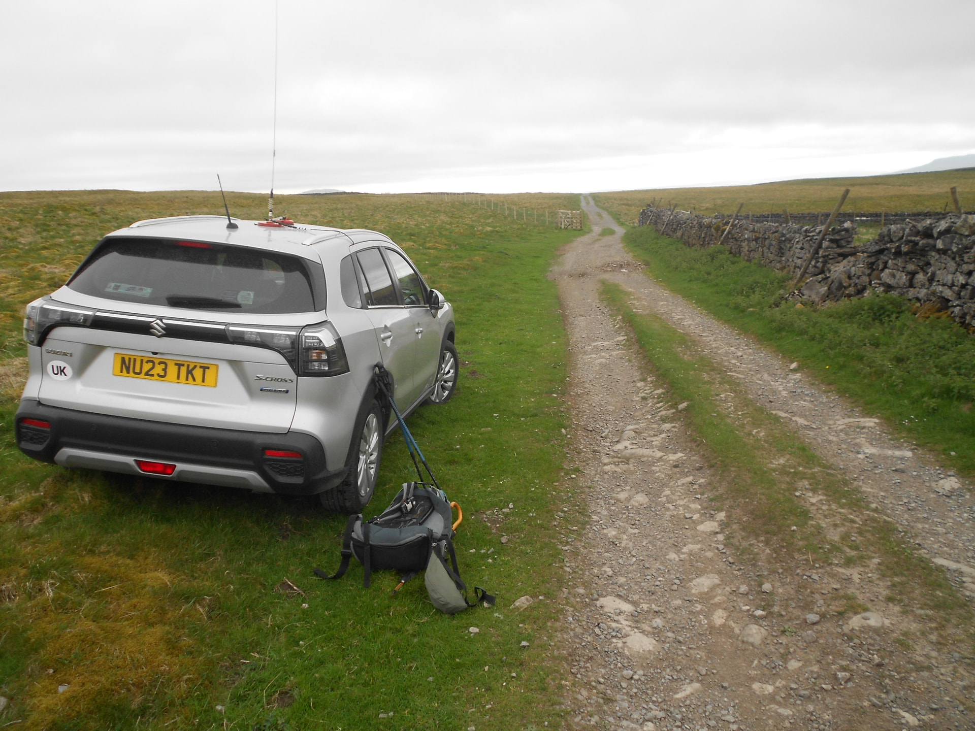
Above: Parking beside the Pennine Way track, looking back towards Kidhow
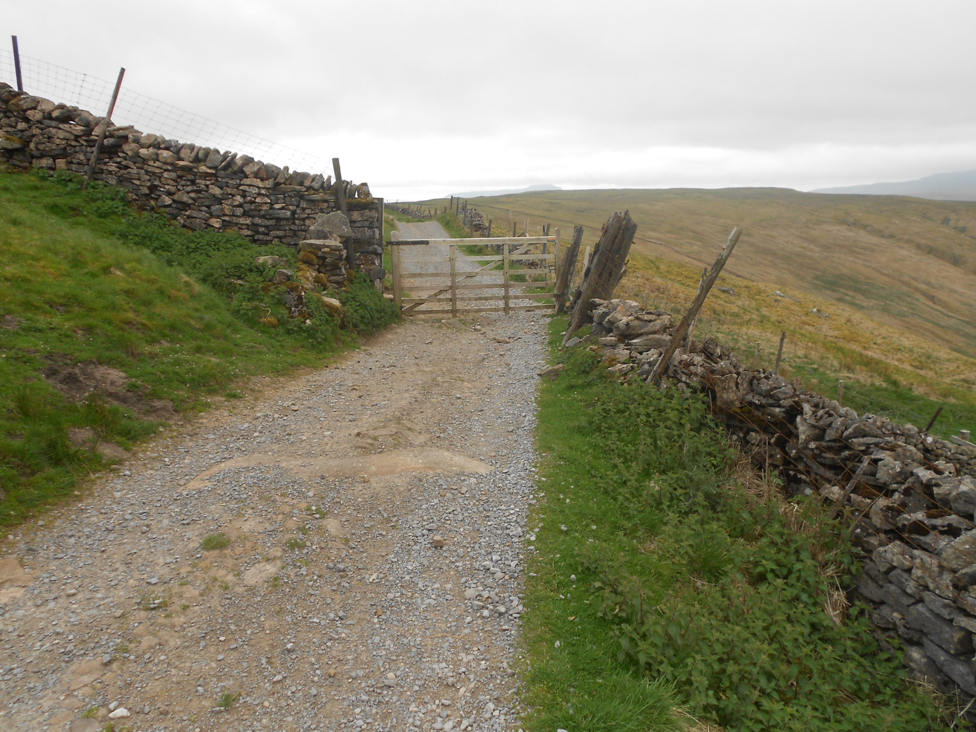
Above: The Pennine Way track, looking back at the gate
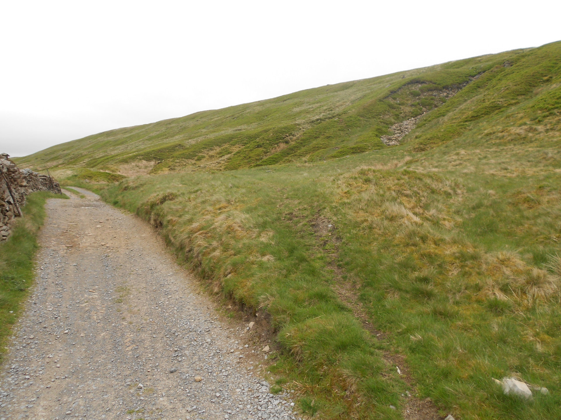
Above: SD 8341 8435 - the place where the path slants off right to take you up by the cairn seen in the distance

Above: A few metres further on. Crossing the (dry) stream. Cairn ahead
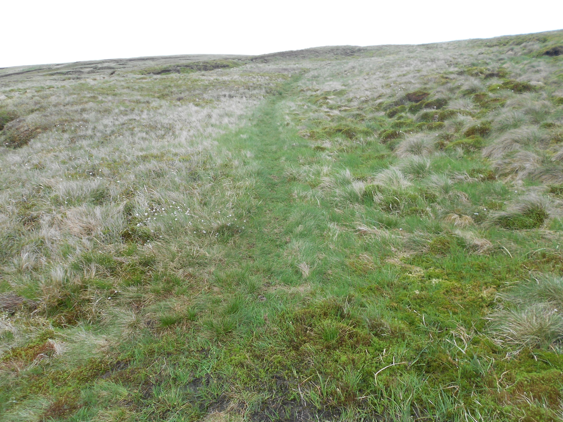
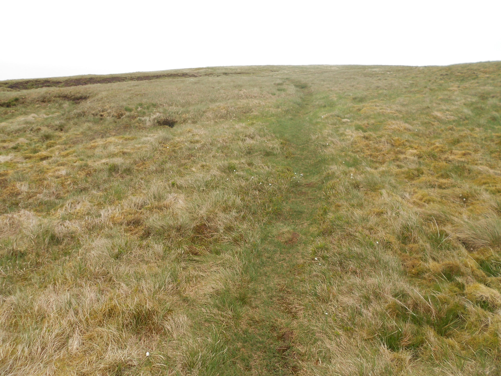
Above: Keep following the path which soon eases off in gradient
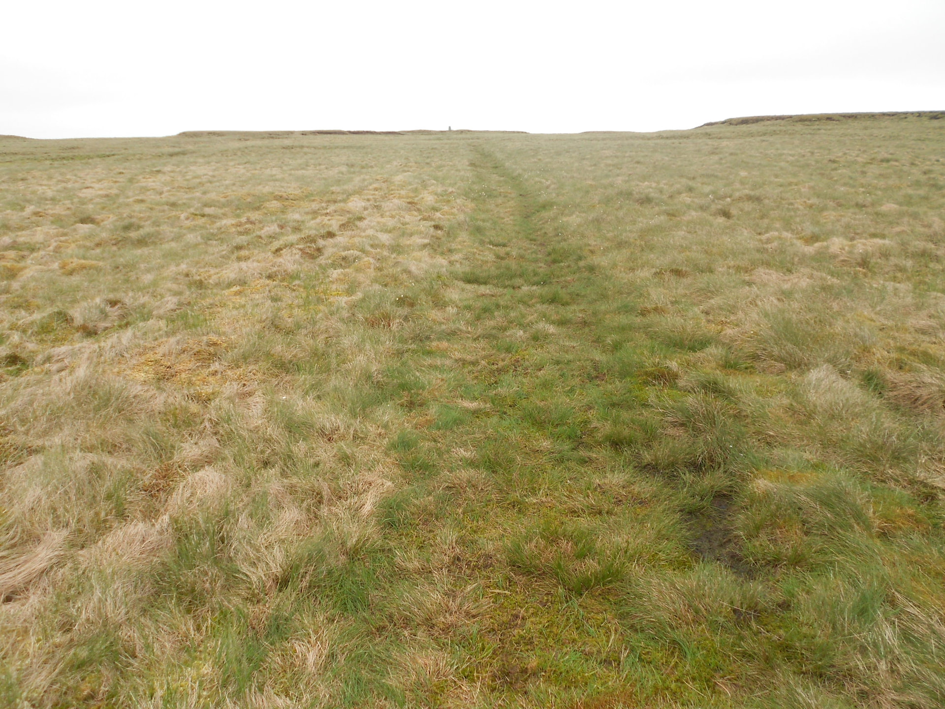
Above: The summit soon comes into sight
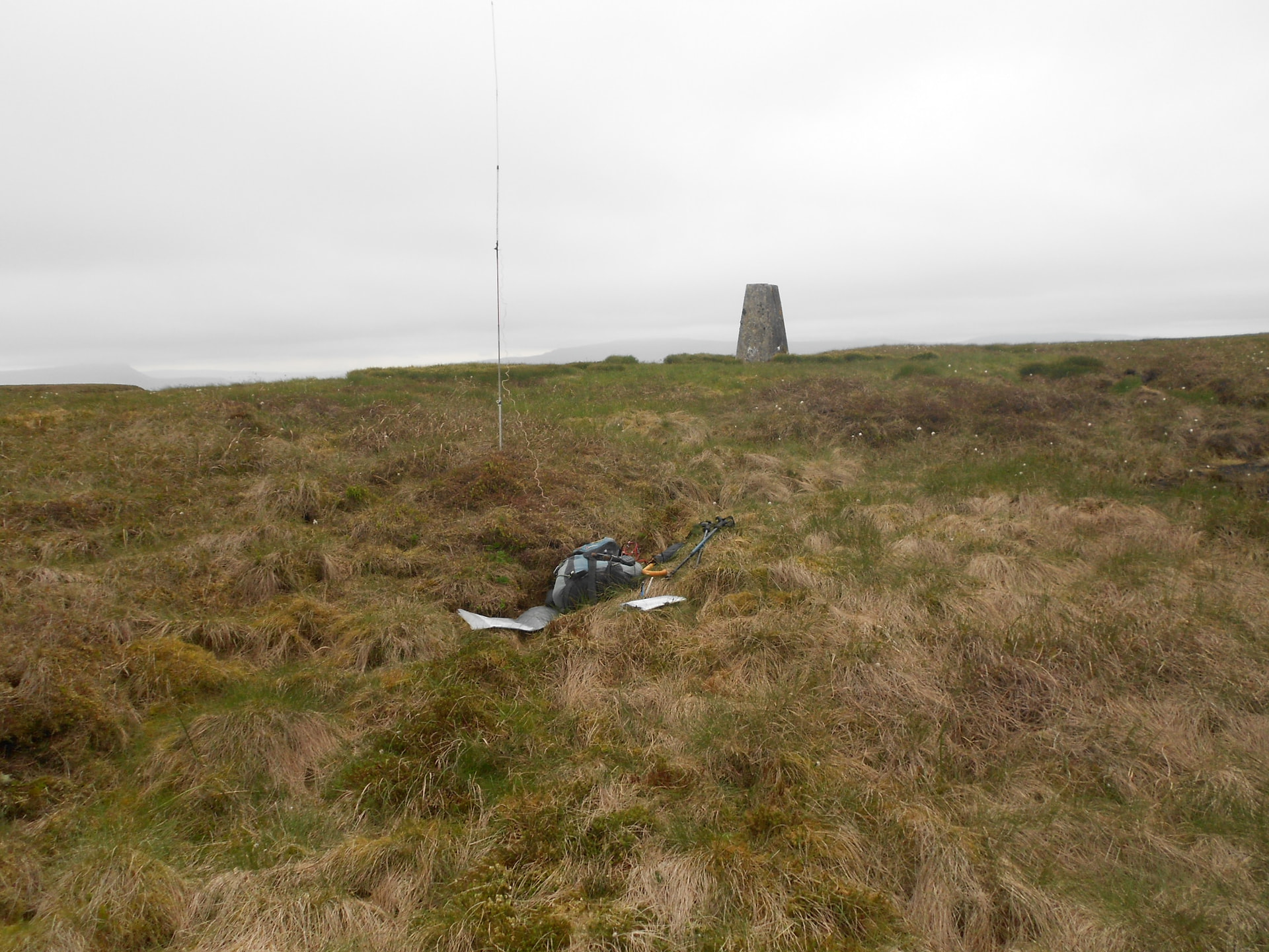
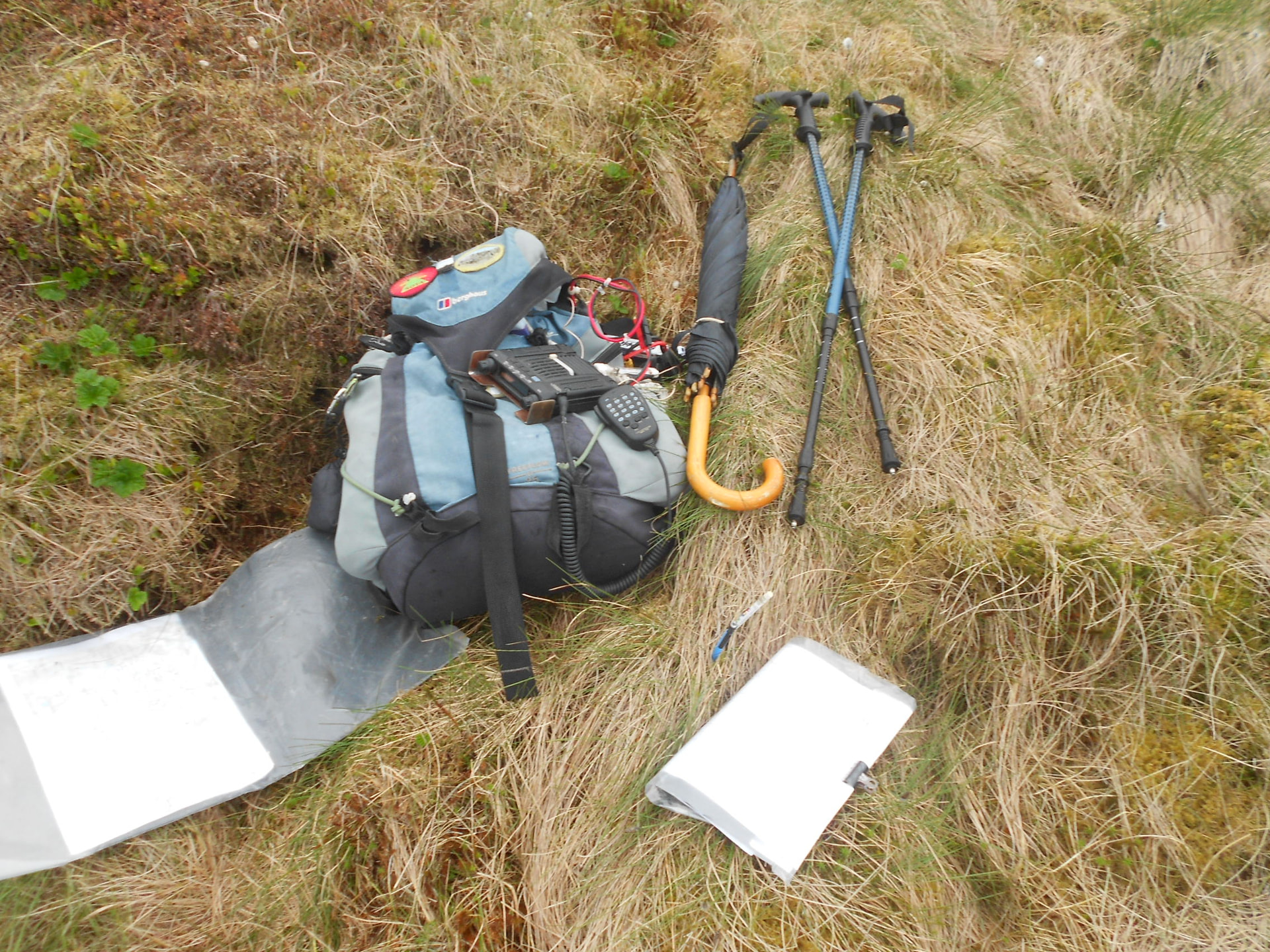
Above: Set up for 2m-FM
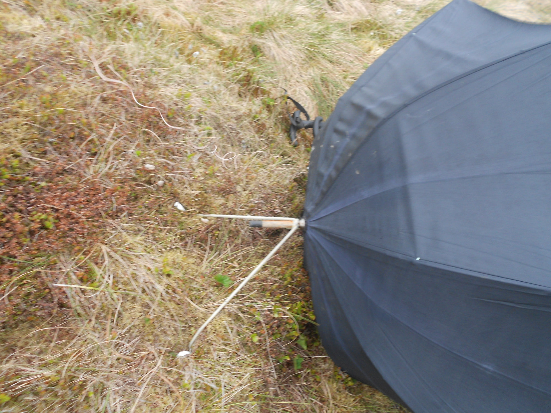
Above: Pegging down the umbrella
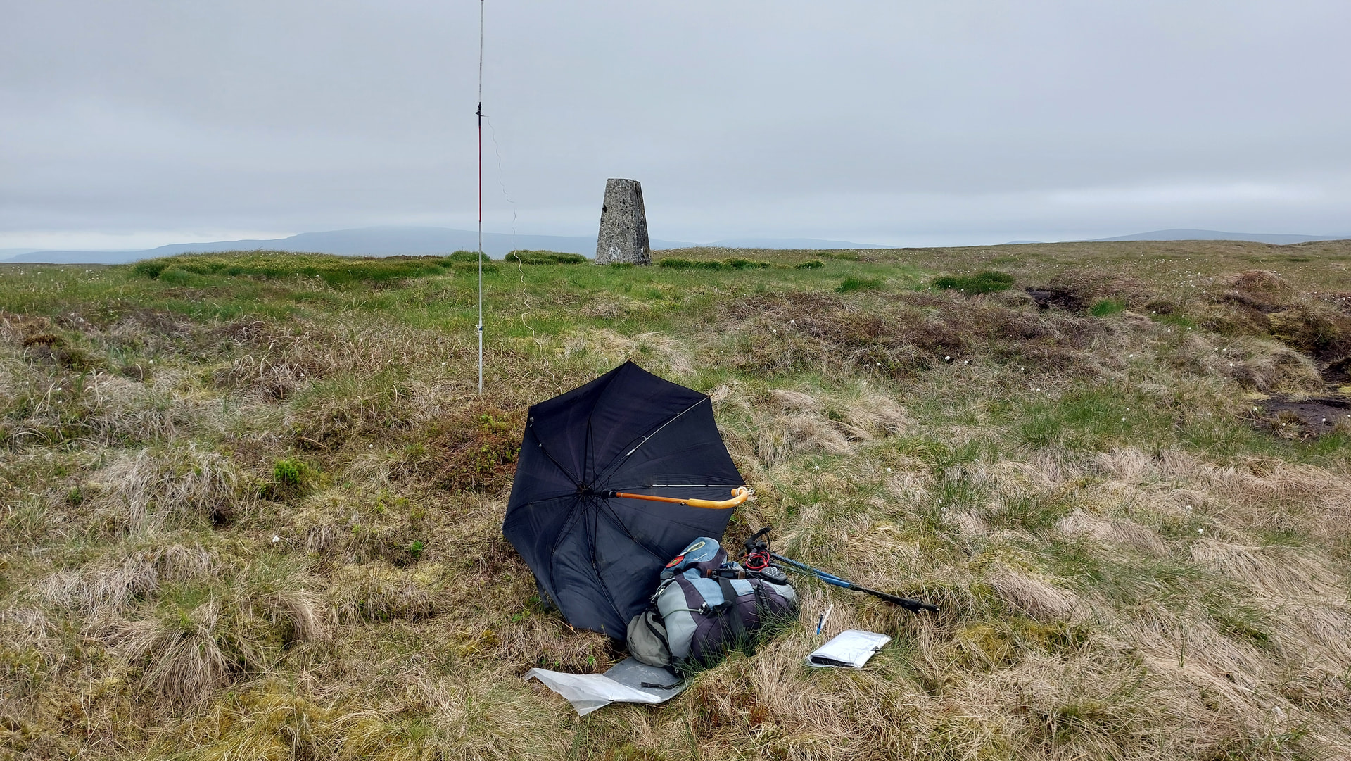
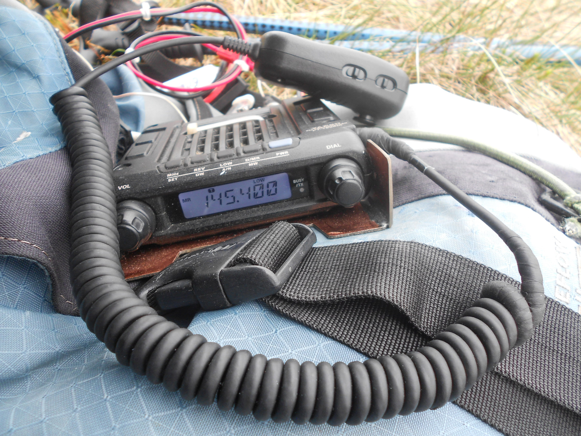
Above: Activation of NP16 on 2m-FM
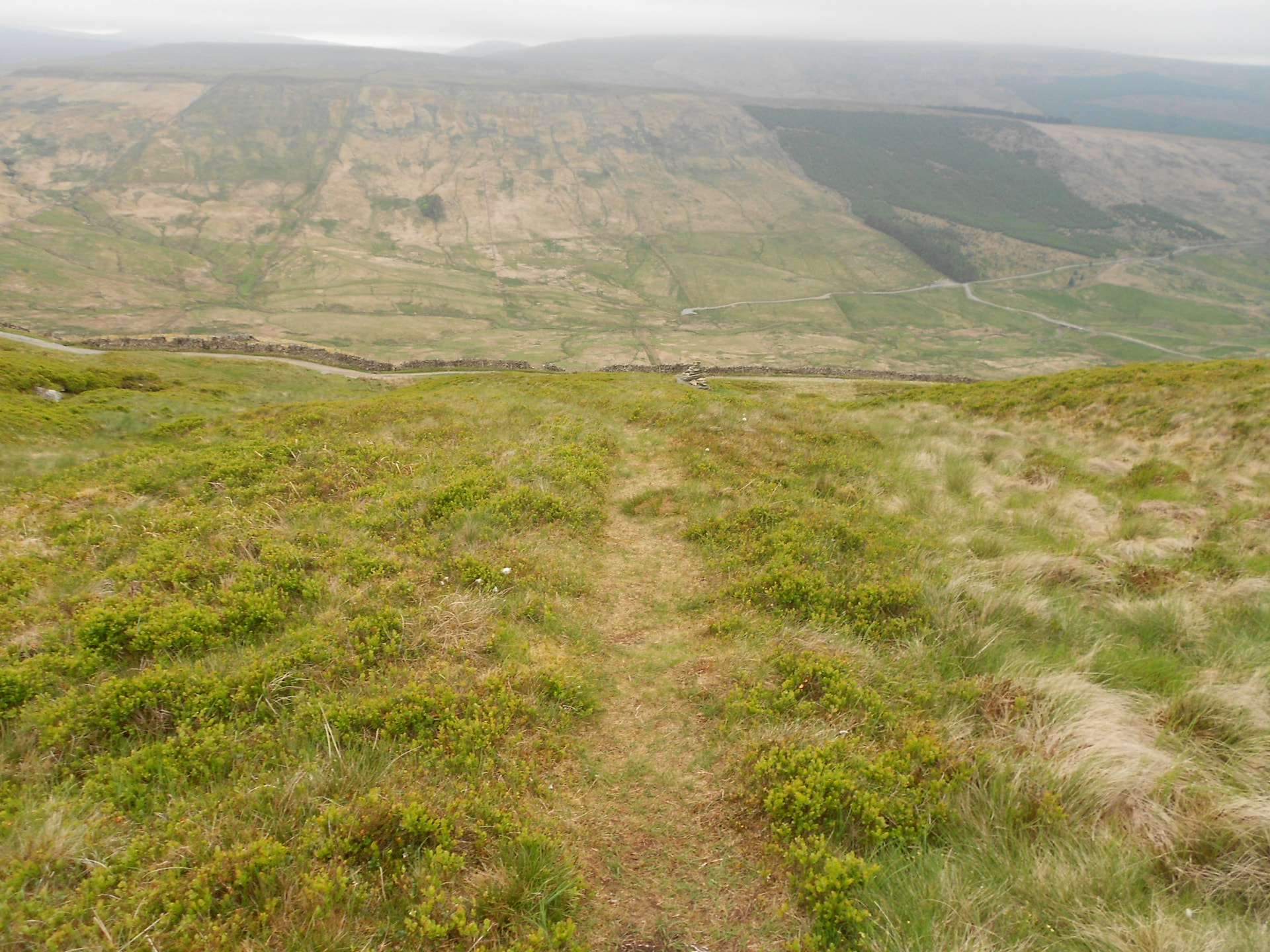
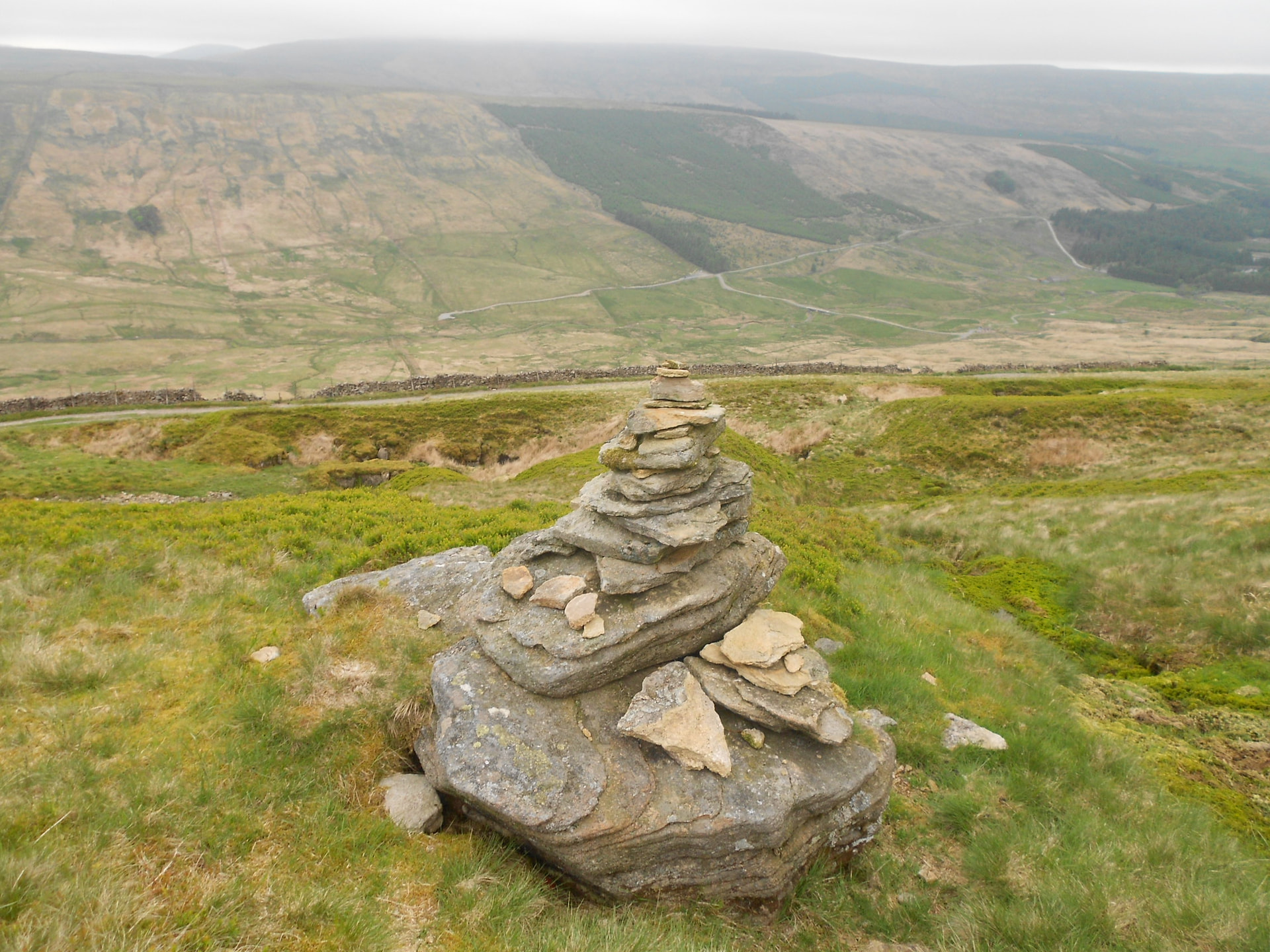
Above: Return to the PW. The marker cairn
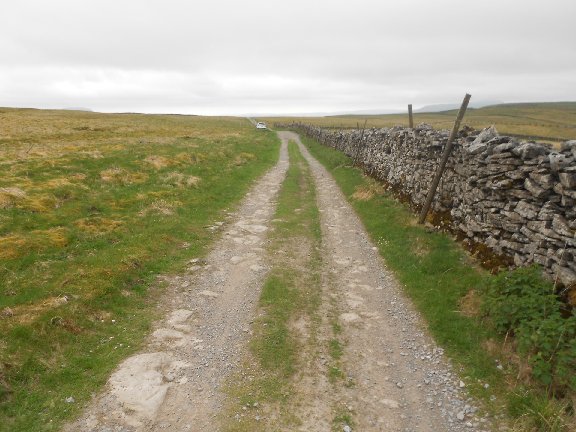
Above: Along the PW. Car in sight